The best road cycling routes around Hillsboro
4.7
(37)
1,260
riders
53
rides
Road cycling around Hillsboro offers diverse routes through the picturesque Tualatin Valley, characterized by fertile farmlands, vineyards, and views of the Coast Range. The area features extensive trail systems and natural preserves, providing varied terrain for cyclists. Routes often follow rivers and traverse rolling hills, with some challenging climbs in areas like Pumpkin Ridge. This landscape provides a mix of flat, scenic rides and more demanding ascents.
Best road cycling routes around Hillsboro
- The most popular road cycling route is…
Last updated: July 21, 2026
4.8
(4)
56
riders
68.0km
02:46
400m
400m
Embark on the Hillsboro and Hagg Lake Loop for a moderate road cycling adventure through Scoggins Valley Park. This route spans 42.3 miles (68.0 km) and involves a total elevation…
5.0
(3)
11
riders
77.2km
02:25
250m
250m
Moderate road ride. Good fitness required. Mostly well-paved surfaces and easy to ride.

Sign up for free
5.0
(1)
40
riders
Moderate road ride. Good fitness required. Mostly well-paved surfaces and easy to ride.
23
riders
128km
05:22
730m
730m
Hard road ride. Very good fitness required. Some segments of this route may be unpaved and difficult to ride.
18
riders
82.6km
03:19
370m
370m
Moderate road ride. Good fitness required. Mostly well-paved surfaces and easy to ride.
Get access to more routes and recommendations from other explorers.
Sign up for free
Already have an account?
Our route recommendations are based on thousands of hikes, rides, and runs completed by other people on komoot.
Start today with a free account
Your next adventure awaits.
Login or Signup
Tips from the Community

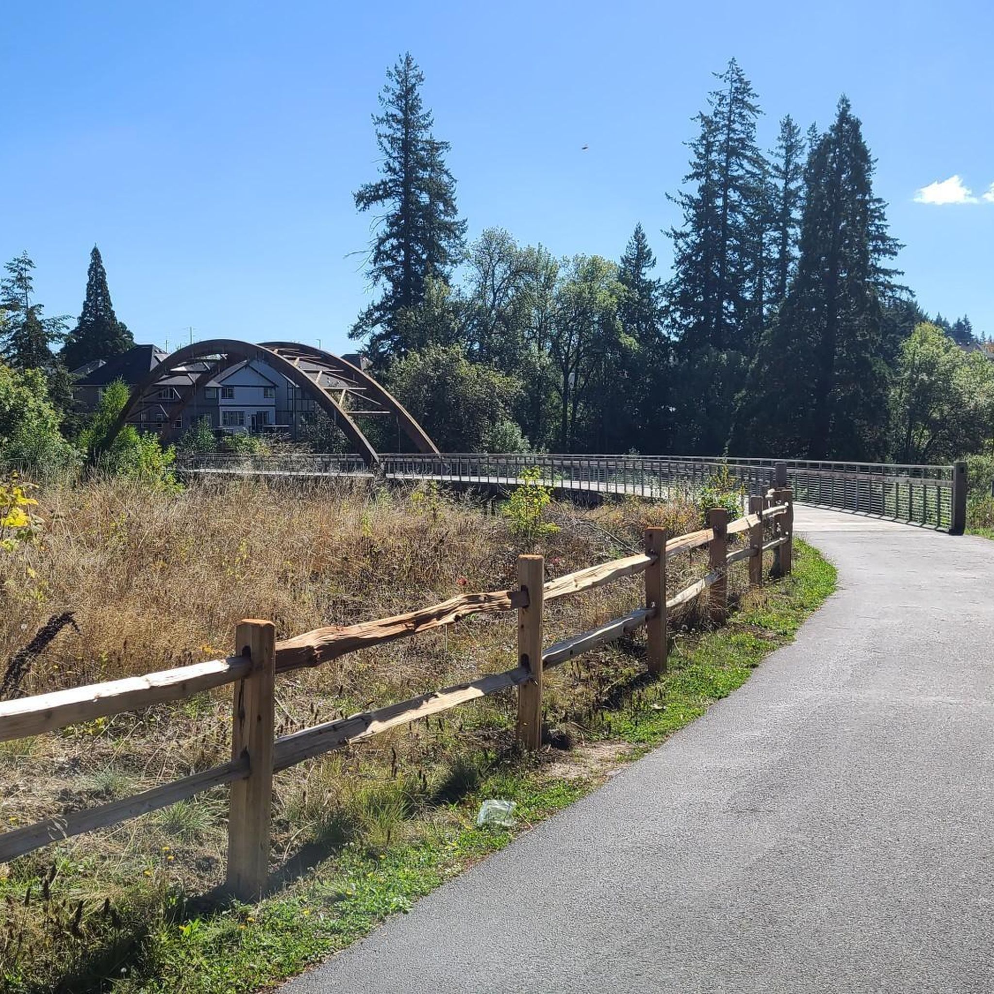
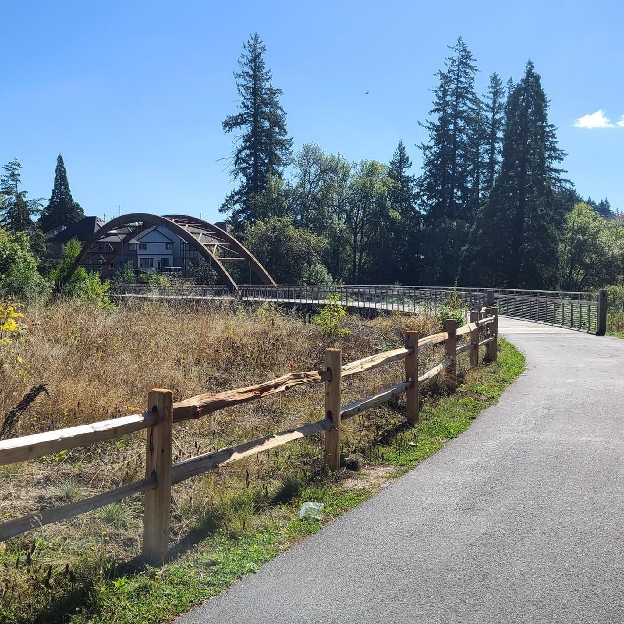
The Banks-Vernonia State Trail is Oregon's first "rails-to-trails" park, repurposing a 21-mile abandoned railroad between Banks and Vernonia. This is where the trails begins/ends in Banks. There is a parking area, a water fountain, and a restroom here. The trail features an 8-foot wide paved path for hiking and biking, alongside a 4-foot gravel equestrian trail. It is at a generally gentle grade and passes through fields, forests, and farmlands with scenic mountain views, in Washington and Columbia counties.
0
0

Lower Tanasbrook Reservoir is one of three reservoirs in the area, along with Middle and Upper Tanasbrook Reservoirs. Among them, Lower Tanasbrook Reservoir is the most prominently visible from the road at this point, providing you with some pleasant views as you ride past.
1
0

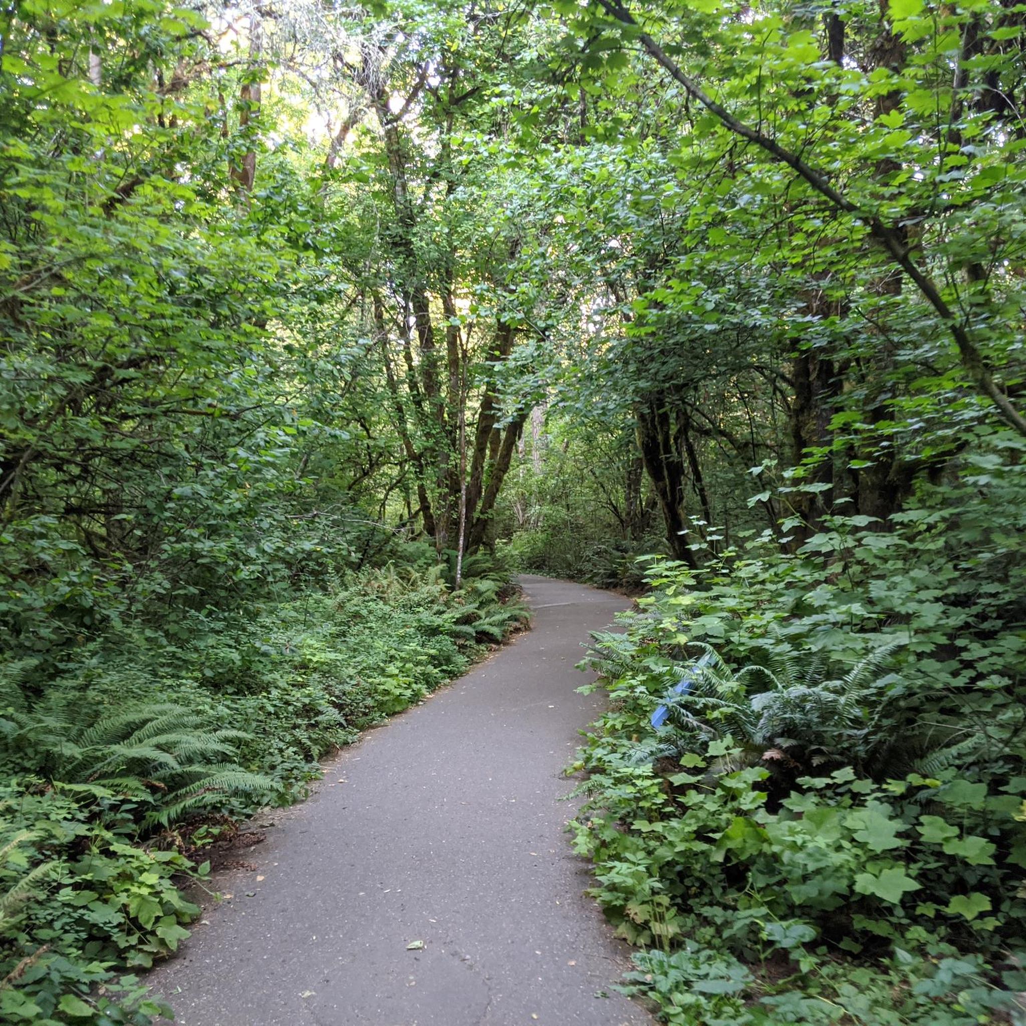
An undeveloped parcel of wooded land, Davis Woods provides a taste of nature on your journey. Although there is a short trail that crosses through it, it is more appropriate for walking. You can still appreciate the beauty of the preserved natural landscape, as you pass by.
0
0
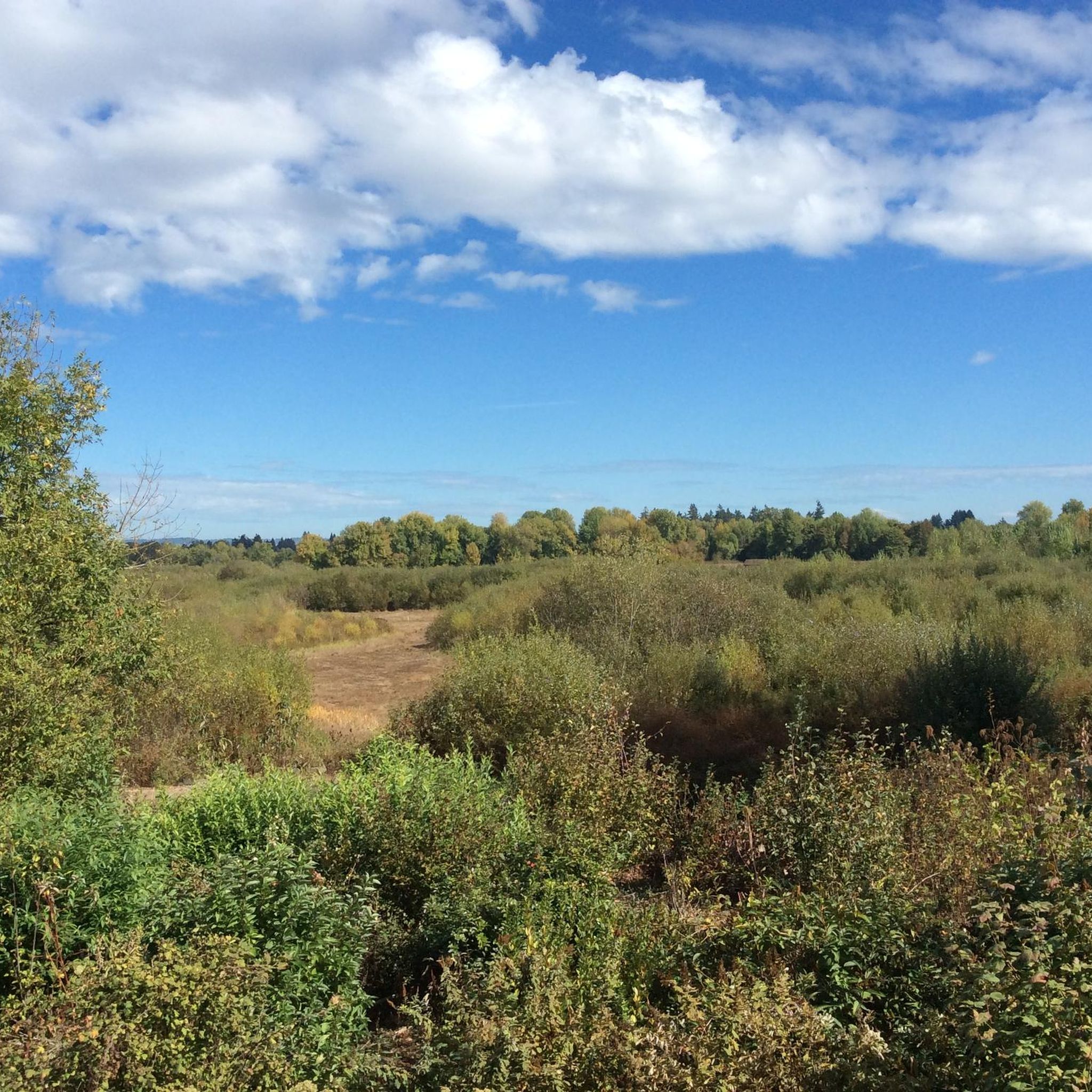
At this spot on Baseline Street you can see Lily Meadows on both sides of the road. There are great views of the meadow, which has Dawson Creek running through it. There are also many different types of trees and wildflowers here making this a scenic spot to ride past.
0
0
Noble Woods Park is a 38-acre park in the heart of the city. Although the trails here are really only for walking and hiking, there are numerous shaded benches surrounded by trees making it a nice place to stop and rest during a long ride.
0
0

This heavily wooded nature preserve is part of a much larger greenbelt complex. Keep an eye out for large wildlife like deer as you pedal past, and an ear out for evidence of songbirds; both thrive in this habitat.
0
0

Situated in Hillsboro, Oregon, Hondo Dog Park, established in 2007, holds the distinction of being the city's inaugural canine recreational area. Encompassing nearly four acres, it sits in the northeast quadrant, bordering Hillsboro Stadium. The park honors a fallen Hillsboro Police Department K-9 unit member, memorializing their sacrifice.
0
0

Once a golf course, the Orenco Woods Nature Park has been transformed into an outdoor lover's paradise, right in suburban Hillsboro. The cycle trail is paved and there is a playground on site for any mini cyclists with you.
0
0
Frequently Asked Questions
How many road cycling routes are available around Hillsboro?
Hillsboro offers a wide selection of road cycling routes, with over 50 different tours available on komoot. These routes cater to various skill levels, from easy rides to more challenging excursions.
What kind of terrain can I expect on road cycling routes near Hillsboro?
The region features diverse terrain, including picturesque Tualatin Valley farmlands, vineyards, and views of the Coast Range. You'll find a mix of rolling hills, some challenging climbs in areas like Pumpkin Ridge and Clapshaw Hill, and easygoing paths. Most routes boast well-paved surfaces suitable for various fitness levels.
What is the best time of year for road cycling in Hillsboro?
The Tualatin Valley experiences mild weather, which generally allows for road cycling opportunities throughout most of the year. Spring and fall often provide pleasant temperatures and beautiful scenery, though summer is also popular.
Are there any notable landmarks or natural features to see while cycling near Hillsboro?
Yes, many routes offer scenic views and pass by interesting natural features. You can explore areas like the Jackson Bottom Wetlands Preserve, known for its wildlife, or the Holcomb Creek Trestle on the Banks-Vernonia State Trail. The Tualatin Valley itself is characterized by its fertile farmlands and numerous vineyards, providing a picturesque backdrop.
Are there any car-free road cycling options around Hillsboro?
Absolutely. The Vernonia Lake – Banks Vernonia State Trail loop from Hatfield Government Center incorporates the Banks-Vernonia State Trail, which is a significant car-free, paved path utilizing an abandoned railroad bed. This trail is ideal for a safe and enjoyable ride through scenic mountains, fields, and forests.
Are there family-friendly road cycling routes in Hillsboro?
Yes, the Banks-Vernonia State Trail, accessible via routes like the Vernonia Lake – Banks Vernonia State Trail loop, is particularly family-friendly due to its car-free, paved nature. Other local paths, such as segments of the Rock Creek Trail, also offer easier, more relaxed options.
What are some options for longer, more challenging road cycling routes?
For a substantial workout, consider the Henry Hagg Lake loop via Southwest Scoggins Valley Road — Hillsboro, which covers over 68 kilometers with significant elevation gain. Another longer option is the Bethany Lake – Sauvie Island Bridge loop from Willow Creek/Southwest 185th Avenue Transit Center, offering over 100 kilometers and substantial climbing.
Are there circular road cycling routes available?
Yes, many of the popular road cycling routes around Hillsboro are designed as loops. Examples include the Henry Hagg Lake loop and the Tualatin Valley Scenic Bikeway Loop, allowing you to start and end at the same point without retracing your path.
Where can I find amenities like cafes or restrooms along the cycling routes?
Towns situated along popular routes, such as those on the Banks-Vernonia State Trail (Banks and Vernonia), often provide convenient amenities like cafes, brewpubs, and restrooms. The Tualatin Valley Scenic Bikeway also passes through quaint downtowns and near farm produce stands and wineries where you might find refreshments.
Is public transport accessible near road cycling routes in Hillsboro?
Yes, some routes are accessible via public transport. For instance, the Vernonia Lake – Banks Vernonia State Trail loop starts from the Hatfield Government Center, which is a transit hub. Similarly, routes like the Bethany Lake – Holcomb Creek Trestle loop begin near the Willow Creek/Southwest 185th Avenue Transit Center.
What are the parking options for road cyclists in Hillsboro?
Many parks and trailheads serve as convenient starting points with parking. For example, Rood Bridge Park in Hillsboro is a common starting point for the Tualatin Valley Scenic Bikeway and offers parking facilities. Towns along the Banks-Vernonia State Trail also provide parking for trail users.
What do other road cyclists say about the routes in Hillsboro?
The road cycling routes in Hillsboro are highly rated by the komoot community, with an average score of 4.5 stars from over 15 reviews. Cyclists often praise the scenic views of farmlands and vineyards, the well-maintained paths, and the variety of routes catering to different fitness levels.
Most popular routes around Hillsboro
Most popular attractions around Hillsboro

Get inspired with the komoot mobile app


Explore more
Browse the best Road cycling routes in other regions.
