The best cycling routes around Yatesville
2
rides
Touring cycling around Yatesville offers routes through the heart of the Appalachian Mountains, characterized by densely wooded areas and rolling mountainous terrain. The region features the 2,300-acre Yatesville Lake, providing a central natural landmark for many activities. Cyclists can expect a landscape with elevation changes and scenic backdrops. The area's multi-use trail systems and country roads provide diverse options for exploring the natural environment.
Best touring cycling routes around Yatesville
- The most popular touring cycling route is Two Rivers loop…
Last updated: October 1, 2026
53.4km
03:22
350m
350m
Moderate bike ride. Good fitness required. Mostly paved surfaces. Suitable for all skill levels.
13.1km
01:00
210m
210m
Moderate bike ride. Good fitness required. Mostly paved surfaces. Suitable for all skill levels.

6.04km
00:39
210m
210m
Moderate bike ride. Good fitness required. Mostly paved surfaces. Suitable for all skill levels.
Our route recommendations are based on thousands of hikes, rides, and runs completed by other people on komoot.


Tips from the Community

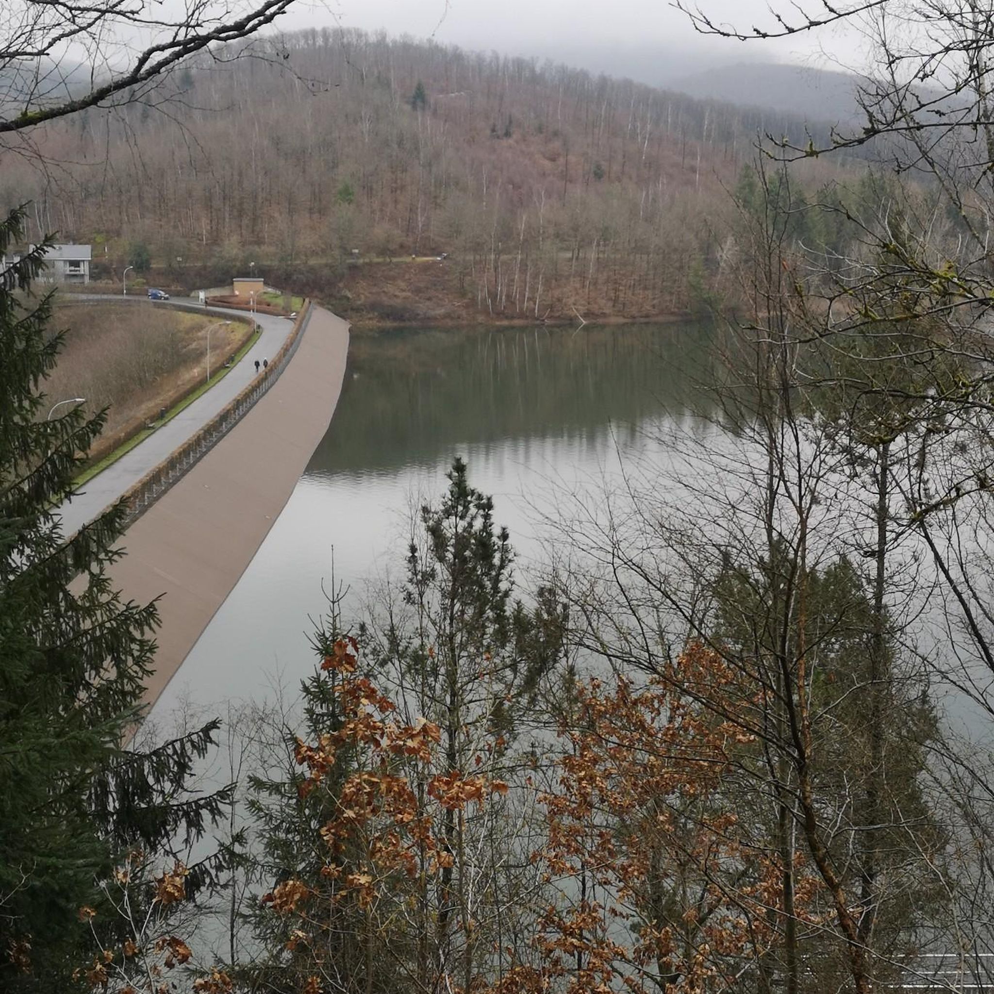
This picturesque 25-acre lake includes a lovely trail for a scenic hike around its perimeter. Nestled on 246 private acres, parking is allowed on Coxton Road, with two trail gates for reservoir access. The state land gate allows public access entry to enjoy this incredibly scenic area.
0
0

The nearby town of Falls gets its name from this set of waterfalls on the aptly named Buttermilk Falls Creek. Though quiet now, the area was once a bustling industrial area and a lot of that was due to the mills that were powered by the falls. You can access the lower falls, but the trail down can be very slippery so exercise caution.
1
0
Frances Slocum State Park is centered around a lake of the same name. The park is located in Luzerne County and offers visitors the chance to go fishing, kayaking, hiking, and mountain biking. There's also a large day use & picnic area.
1
0
The name Lackawanna comes from the Native Algonquin language and means "the stream that forks". The river rises in the Pocono Mountains and runs 42 miles until joining the Susquehanna River near Scranton, Pennsylvania.
0
0
Frances Slocum Lake is a man made widening of Abrams Creek and at 165-acres it offers plenty of space for fishing and kayaking. The State Park that surrounds it also has hiking and mountain biking trails, a picnic area, and a campground.
0
0
Frances Slocum State Park is centered around a lake of the same name. The park is located in Luzerne County and offers visitors the chance to go fishing, kayaking, hiking, and mountain biking. There's also a large day-use and picnic area.
0
0
Campbell's Ledge towers nearly 700 feet over the Susquehanna River, and gives you an incredible 30-mile view across the valley. The access trails to this location are privately held and may be closed at the owners discretion. Also, the ledge is extremely exposed and any fall here will be your last, so exercise caution near the edge.
0
0
The Luzerne County Rail Trail, also known as the Luzerne County National Recreation Trail, runs about 2 miles along an active rail line and the Susquehanna River. Along the way you'll have alternating views of the river and rock cliffs.
0
0
Frequently Asked Questions
What kind of terrain can I expect on touring cycling routes around Yatesville?
Touring cycling around Yatesville takes you through the heart of the Appalachian Mountains. You can expect a landscape characterized by densely wooded areas, rolling mountainous terrain, and significant elevation changes. The region's centerpiece, the 2,300-acre Yatesville Lake, also provides scenic backdrops for many routes.
Are there any family-friendly touring cycling routes in Yatesville?
Yes, there are routes suitable for families. The Frances Slocum State Park loop is a moderate 8.1-mile (13.1 km) path that winds through wooded areas, offering a scenic experience that can be enjoyable for families. The multi-use trails within Yatesville Lake State Park also provide varied options for different skill levels.
What are the best seasons for touring cycling in Yatesville?
The spring and fall seasons generally offer the most pleasant weather for touring cycling in Yatesville, with comfortable temperatures and beautiful natural scenery. Spring brings lush greenery, while fall showcases vibrant foliage. Summer can be warm and humid, but still enjoyable, especially around the lake. Winter cycling is possible but may require more preparation due to colder temperatures and potential for snow or ice.
Are there any circular touring cycling routes around Yatesville?
Yes, several routes offer a circular experience. For example, the Two Rivers loop is a popular 33.2-mile (53.4 km) circular route that provides varied terrain through the region's natural landscape. Another option is the Harveys Lake – Frances Slocum State Park loop from Frances Slocum State Park, a 35.8-mile (57.6 km) circular trail.
What interesting places can I explore along the touring cycling routes?
Many routes offer access to natural and recreational highlights. You can explore areas around Campbells Ledge Reservoir or ride through Frances Slocum State Park. The Luzerne County Levee Trail and Riverfront Park also offer scenic views and opportunities to enjoy the natural surroundings.
What is the difficulty level of touring cycling routes in Yatesville?
The touring cycling routes around Yatesville range from moderate to difficult. Most routes, like the Frances Slocum State Park loop, are classified as moderate, featuring rolling hills and some elevation gain. More challenging routes, such as the Harveys Lake – Frances Slocum State Park loop from Frances Slocum State Park, include significant elevation changes, making them suitable for experienced cyclists seeking a greater challenge.
Are there opportunities for birdwatching or wildlife spotting while cycling?
Yes, the densely wooded areas and diverse ecosystem around Yatesville Lake State Park make it excellent for wildlife observation. While cycling, you might spot various bird species, including woodpeckers, wild turkeys, ospreys, and even seasonal bald eagles. Deer, turtles, and snakes are also common in the area, offering a chance to connect with nature.
What amenities are available at Yatesville Lake State Park for cyclists?
Yatesville Lake State Park offers a range of amenities. While specific cycling facilities like repair stations aren't detailed, the park provides multi-use trails suitable for biking, picnic areas, and restrooms. For those looking to extend their stay, there are diverse camping options, including improved campsites with facilities like showers and laundry. You can find more information about the park's amenities on the official Kentucky State Parks website: ky.gov.
Is public transport available to access cycling routes around Yatesville?
Public transport options directly to the trailheads for touring cycling routes around Yatesville are limited. It is generally recommended to use personal vehicles to reach the starting points of the routes, especially given the region's rural and mountainous nature. Parking information is usually available for specific trailheads or state park access points.
What are the average distances and durations for touring cycling routes in this area?
The routes vary in length and duration to suit different preferences. Moderate routes like the Campbell's Ledge and Reservoir Loop are around 3.75 miles (6 km) and can be completed in under an hour. Longer routes, such as the Two Rivers loop, cover about 33.2 miles (53.4 km) and typically take around 3 hours and 22 minutes, offering a more extensive ride through the landscape.
Are there any historical or educational points of interest nearby?
Yes, beyond the natural beauty, you can find some historical and educational sites. The U.S. Army Corps of Engineers Yatesville Lake Dam offers historical displays and information about its construction and purpose. Additionally, in nearby Lawrence County, you can visit the Fred M. Vinson Birthplace Museum, honoring a former Chief Justice of the U.S. Supreme Court.
Most popular attractions around Yatesville

Get inspired with the komoot mobile app


Explore more
Browse the best Cycling routes in other regions.
