The best MTB trails around Laureldale
4.5
(2)
95
riders
9
rides
If you've ever tried to plan mountain biking around Laureldale, you know how quickly the options can feel overwhelming. It’s tough to tell which routes are genuinely worth your time and effort, and which are just filler. We get it – sifting through countless trails to find those true highlights can be a real pain.
That’s where komoot comes in. Our community of local riders has mapped, ridden, and reviewed these routes, so we’ve done the legwork for you. This…
Last updated: June 1, 2026
5.0
(1)
39
riders
Moderate mountain bike ride. Good fitness required.
4.0
(1)
9
riders
12.3km
01:14
270m
260m
Hard mountain bike ride. Advanced riding skills necessary. Some portions of the route may require you to push your bike.
4.0
(1)
7
riders
50.5km
03:50
470m
470m
Moderate mountain bike ride. Good fitness required.
Get access to more routes and recommendations from other explorers.
Already have an account?
Our route recommendations are based on thousands of hikes, rides, and runs completed by other people on komoot.
Start today with a free account
Your next adventure awaits.


Tips from the Community

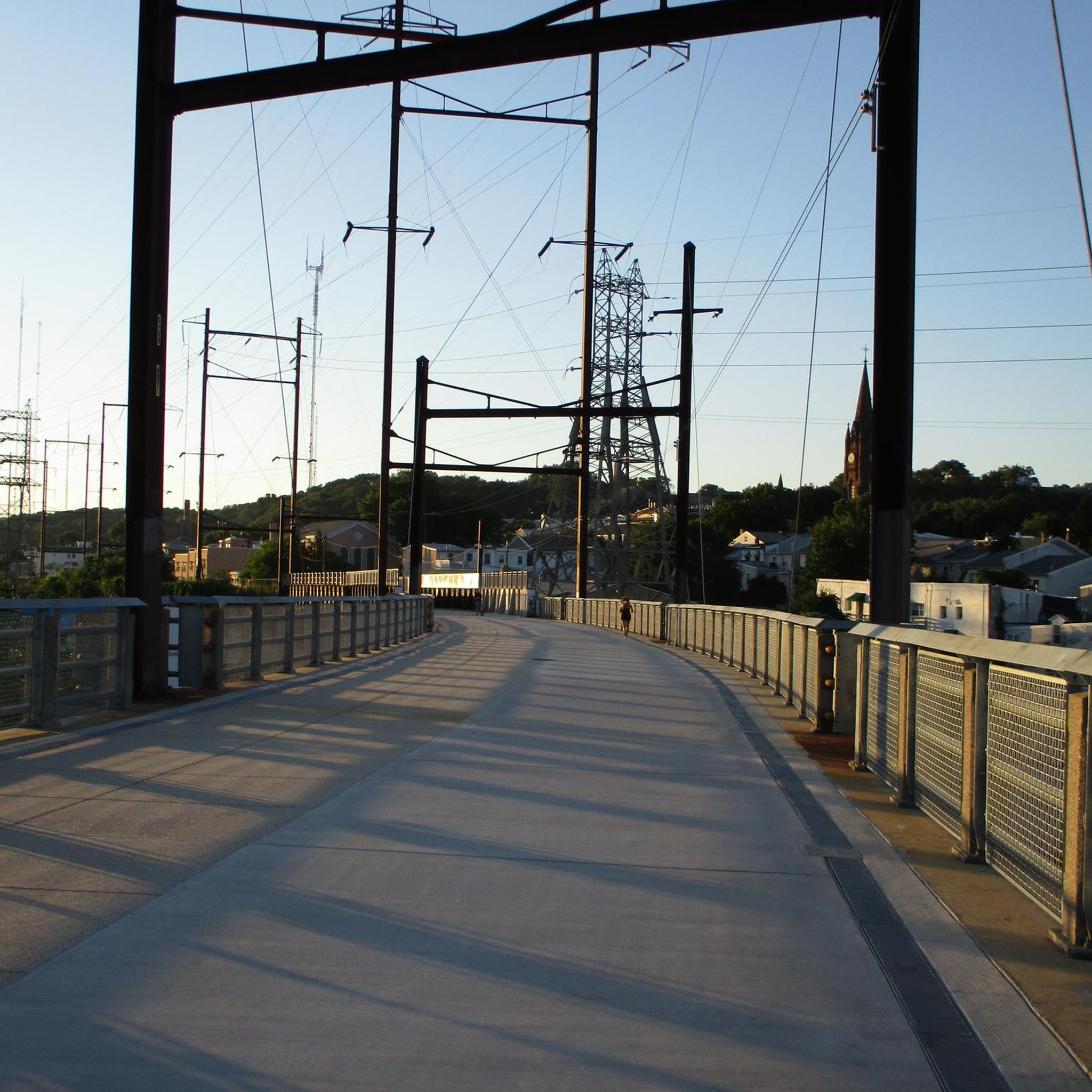
When completed, the Schuylkill River Trail will total nearly 120 miles from Frackville to Philadelphia. The Thun Section of the trail is a mostly crushed-gravel section in Reading that follows the river the entire time.
1
0

The Schuylkill River Trail is a multi-use path that runs along the river. Most of the path is built over abandoned rail beds; however, there are some parts that use quiet roads that are shared with car traffic.
0
0

Mount Penn Preserve, situated on the outskirts of Reading, spans 50 acres and provides extensive mixed use trails throughout the park. Additionally, visitors can find picnic spots and restroom facilities for added convenience.
0
0
The Schuylkill River Trail is a multi-use path that runs along the river. Most of the path is built over abandoned rail beds; however, there are some parts that use quiet roads that are shared with car traffic.
0
0
Centennial Springs Hotel was originally a farm and winery in the 1880s and was transformed into a hotel in the 1890s. The remaining pond was one of the main features on the property back in the day.
0
0

These are the spooky remains of an old building's foundation, slowly melting back into nature. This foundation no doubt belonged to one of the resorts and tourist attractions that once littered the mountain's slopes.
0
0
The Union Canal Trail runs along the Tulpehocken Creek from Reading to Leesport. The trail is made of crushed limestone, so it is a great path for walking and cycling. As the route has no traffic and is no too difficult, it is a great place for a family bike ride.
0
0
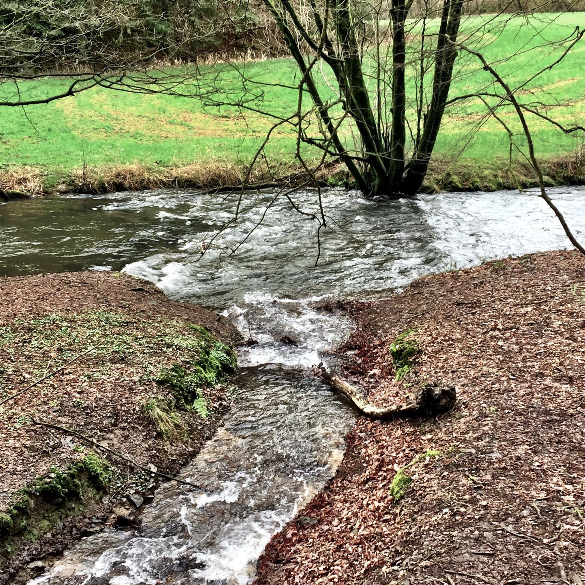
Tulpehocken Creek is a tributary of the Schuylkill River. While there are no bathrooms or picnic tables, it is a great spot for a break to take in the scenic and tranquil waters. The creek is open to fishing, so it is not uncommon to share the space with others trying their luck to catch something.
0
0
Frequently Asked Questions
How many mountain bike trails are there in Laureldale?
There are 8 mountain bike trails around Laureldale listed on komoot, offering a variety of experiences. These routes are highly rated by the komoot community, with an average score of 4.5 stars.
What kind of terrain can I expect on mountain bike trails around Laureldale?
The trails around Laureldale are characterized by the diverse landscapes of the Laurel Highlands region. You can expect mountainous terrain with rugged, rocky, and rooted sections, winding through lush forests. The area offers a mix of elevations and technical challenges, with options for both moderate and difficult ability levels.
Are there trails suitable for advanced mountain bikers in Laureldale?
Yes, Laureldale offers several challenging routes for advanced mountain bikers. For example, the Mount Penn Preserve – Antietam Lake loop from Lower Alsace Township is a difficult 14.1-mile trail exploring varied terrain. Another difficult option is the Mount Penn Preserve – Mount Penn Preserve loop from Lower Alsace Township, which is 6.6 miles long.
Are there easy mountain bike trails near Laureldale?
While the komoot guide for Laureldale primarily features moderate to difficult mountain bike trails, the broader Laurel Highlands region, where Laureldale is situated, offers some flatter options. For instance, the Canyon's Edge trail in Ohiopyle State Park is known to be flatter. Additionally, the Great Allegheny Passage, which runs through Ohiopyle, is a longer trail suitable for more relaxed biking.
What natural attractions can I explore near the mountain bike trails?
The Laurel Highlands region offers stunning natural features. You can explore unique spots like Spruce Flats Bog in Laurel Summit State Park, known for its carnivorous plants, or the ancient Hemlock Grove in Laurel Hill State Park. Forbes State Forest features the striking Blue Hole, a deep section of a stream with blue water, and Mount Davis, Pennsylvania's highest point, offering expansive views from its observation tower.
Are there any unique landmarks or points of interest along the trails?
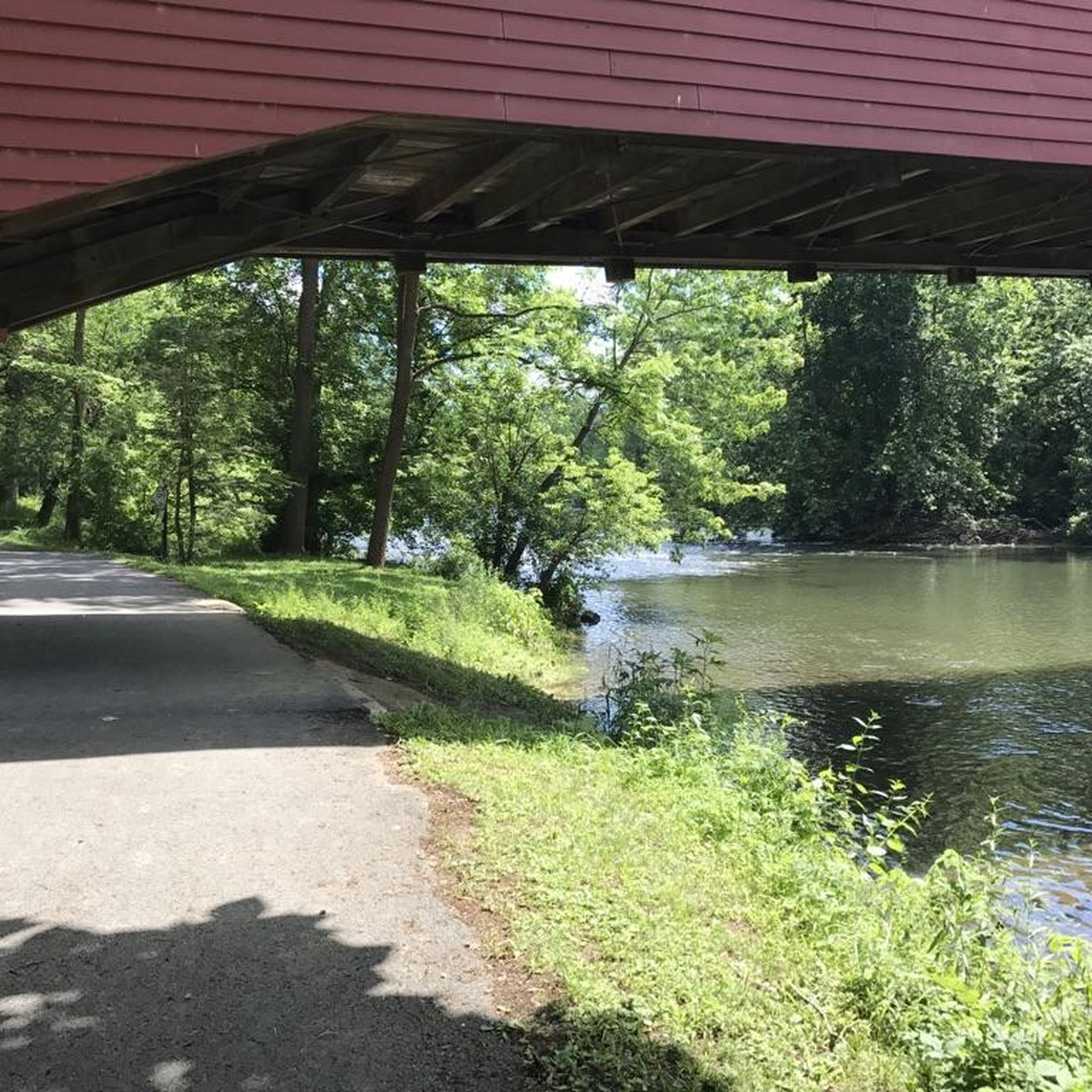
Yes, several routes pass by notable landmarks. The Wertz's Covered Bridge – Union Canal Trail loop from Tulpehocken Creek Valley Park System features scenic sections along the Union Canal Trail and passes by the historic Wertz's Covered Bridge. Other nearby attractions include the Reading Pagoda.
What do other mountain bikers enjoy about the trails in Laureldale?
The mountain bike trails around Laureldale are highly rated by the komoot community, with an average score of 4.5 stars. Riders often praise the varied terrain, from rugged and rocky sections to flowy singletrack, and the opportunity to explore dense woodlands and prominent rock formations within the scenic Laurel Highlands.
Are there family-friendly mountain bike trails in Laureldale?
While the trails directly listed in Laureldale tend towards moderate to difficult, the broader Laurel Highlands region offers options that might be more suitable for families. For instance, the Great Allegheny Passage, which passes through Ohiopyle State Park, is generally flatter and more accessible for a family outing. Always check individual trail descriptions for suitability.
Can I bring my dog on the mountain bike trails?
Many trails in Pennsylvania State Parks and Forests, including those in the Laurel Highlands, allow dogs on leashes. However, specific regulations can vary by park and trail. For example, Laurel Hill State Park, which has 15 miles of mountain biking trails, generally permits leashed dogs. It's always best to check the specific park's rules or the trail's description before heading out with your canine companion. For general information on Laurel Hill State Park, you can visit pa.gov.
Are there circular mountain bike routes available?
Yes, many of the mountain bike trails around Laureldale are designed as loops. Examples include the difficult Mount Penn Preserve – Antietam Lake loop from Lower Alsace Township and the moderate Wertz's Covered Bridge – Union Canal Trail loop from Tulpehocken Creek Valley Park System. These circular routes allow you to start and end at the same point, making logistics easier.
Where can I find parking for mountain bike trails in Laureldale?
Parking is generally available at trailheads and designated access points for the mountain bike trails around Laureldale. For routes like those in the Mount Penn Preserve, you can typically find parking near the starting points in areas like Lower Alsace Township. For trails within state parks such as Laurel Hill State Park or Ohiopyle State Park, dedicated parking lots are provided for visitors.
What is the best time to mountain bike in Laureldale?
The Laurel Highlands region, including Laureldale, offers enjoyable mountain biking conditions through spring, summer, and fall. Spring brings lush greenery, while fall showcases vibrant foliage. Summers are generally warm, but the forested trails provide good shade. It's always advisable to check local weather conditions and trail reports before your ride, especially after heavy rain, as some trails can become muddy or slippery.
Most popular attractions around Laureldale

Get inspired with the komoot mobile app


Explore more
Browse the best MTB trails in other regions.
