The best walks and hikes around Lorane
4.7
(40)
292
hikers
50
hikes
Hiking around Lorane, Oregon, offers diverse outdoor experiences within the Central Oregon Coast Range foothills. The region is characterized by dense temperate rainforests and old-growth forests, providing lush, verdant scenery. The terrain features twisting paths and narrow sections, influenced by the North Fork Siuslaw River and the broader Siuslaw Valley. Hikers can expect views of lush green trees, open fields, and rolling hills.
Best hiking trails around Lorane
- The most popular hiking route is Ferndale Trail, an easy 4.0 miles (6.4 km) trail that takes 1 hour 55 minutes to complete, navigating through forested landscapes.
- Another top favourite among local hikers is Birdsboro Waters Loop, an easy 3.6 miles (5.8 km) path. This route offers varied terrain and elevation changes within the region's woodlands.
- Local hikers also love the Gibraltar Hill Trail, a 3.5 miles (5.6 km) trail leading through natural areas with gentle gradients, often completed in about 1 hour 42 minutes.
- Hiking around Lorane is defined by temperate rainforests, old-growth forests, and the varied terrain of the Central Oregon Coast Range foothills. The network offers options for different ability levels, from easy walks to more challenging paths.
- The routes in Lorane are highly rated by the komoot community with an average score of 4.4 stars from over 30 reviews. More than 200 hikers have used komoot to explore Lorane's varied terrain.
Last updated: June 23, 2026
4
hikers
2.87km
00:44
10m
10m
The Union Meadows East Loop offers a wonderfully accessible and scenic walk, perfect for a relaxed afternoon. You'll find yourself strolling through diverse landscapes, from tranquil wooded sections to open farmlands, with glimpses of the Schuylkill River. The trail is notably flat, gaining only 21 feet (6 metres) over its 1.8-mile (2.9 km) length, making it an easy hike that takes around 43 minutes to complete. Look out for the unique vernal pond and the potential for a vibrant "tunnel of wildflowers" in the wetland meadows.
Getting to the Union Meadows East Loop is simple, with the trailhead easily found off Route 724. You'll appreciate the ample parking available, along with convenient amenities like restrooms and picnic areas within Union Meadows Park. There are no permits or fees required to access this popular route, making it a hassle-free option for a spontaneous outing. It's a great spot for a quick, refreshing walk any time of year, though spring brings the wildflowers.
This loop is more than just a trail; it's part of the larger Union Meadows Park, which serves as a key trailhead for the extensive Schuylkill River Trail network. Beyond the natural beauty, the park offers multi-use fields, a playground, and even a boat ramp, making it a hub for various outdoor activities. Keep an eye out for local wildlife, including deer and other critters around the ponds, adding to the charm of this family-friendly and beginner-friendly hike.
3
hikers
5.76km
01:38
100m
180m
The Birdsboro Waters Loop is a fantastic choice for a relaxed outdoor experience, guiding you through a diverse landscape of lush forests and serene water features. As you hike, you'll pass by tall pine trees and interesting rock formations, with the tranquil Stinson Run Reservoir offering picturesque views. The terrain is generally easy, making it a pleasant walk for all skill levels, though you'll find some small hills and uneven sections that add to the natural feel of the path.
Planning your visit is straightforward, with convenient parking available at Rustic Park, which also connects to the Schuylkill River Trail for longer excursions. The Birdsboro Waters Loop is a multi-use trail, so expect to share the path with mountain bikers. It's a great option for family friendly hikes and is enjoyable throughout the year, though spring and autumn provide particularly beautiful scenery and comfortable temperatures.
What makes this area special are its diverse ecosystems, from pine-dominated woods to areas rich with ferns and Mountain Laurels, alongside geological interests like unique rock formations. The Birdsboro Waters Preserve also holds historical remnants, including old railroad timbers and abandoned buildings, adding a layer of intrigue to your hike. This easy 3.6-mile (5.8 km) loop, with its gentle 327 feet (100 metres) of elevation gain, can be completed in about 1 hour and 38 minutes, making it an accessible and rewarding option for a quick escape into nature.

Sign up for free
5.0
(2)
2
hikers
5.58km
01:42
210m
160m
The Gibraltar Hill Trail in Pennsylvania offers a surprisingly rugged and rewarding hiking experience through dense oak-hickory woodlands. You'll find yourself on unimproved, often unmarked paths that quickly become rocky and steep, leading to a strenuous workout despite the trail's modest length. The highlight is undoubtedly the expansive vistas over Berks County, where you can gaze upon farmlands and the picturesque Schuylkill River valley from elevated viewpoints.
This 3.5-mile (5.6 km) route, with its 675 feet (206 metres) of elevation gain, is rated easy but feels more like a moderate challenge, taking around 1 hour and 42 minutes to complete. Given the trail's natural state, bring sturdy hiking boots and a downloaded map to navigate effectively. It's a great option for a quick, intense workout with a scenic payoff, but don't underestimate its
2
hikers
4.26km
01:17
170m
80m
The Green Loop offers a pleasant escape into nature, winding through diverse scenery that often includes mixed forests and even wetlands. You'll experience a journey where the terrain changes from smooth paths to potentially rootier sections, providing a varied but generally easy hiking experience. Keep an eye out for the Witch's Hat Pavilion, a distinctive feature along the route, as you enjoy the natural surroundings.
Planning your visit to the Green Loop is straightforward, as many trails of this type are well-maintained and feature accessible trailheads. While specific parking details aren't always available, you can usually find convenient access points. Visiting in the spring or fall often provides the most comfortable temperatures and vibrant scenery, making it the best season for Green Loop hiking.
This trail is a great option for those seeking easy Green Loop trails for beginners or a family-friendly Green Loop hike. It provides a balanced experience, showcasing diverse ecosystems from forests to meadows, and sometimes offers scenic overlooks. The route's accessibility and varied natural beauty make it a notable choice for a quick outdoor adventure in the Mount Penn area.
1
hikers
6.44km
01:55
210m
170m
The Ferndale Trail offers a refreshing escape into the Mount Penn Preserve, guiding you through a pleasant forest environment. It's a straightforward path, perfect for those who appreciate a simple, natural setting without demanding terrain. You'll find yourself surrounded by the quiet beauty of the woods, making it an ideal spot for a peaceful walk.
Planning your visit to the Ferndale Trail is generally easy, as it's an accessible route within the Mount Penn Preserve. The trail covers 4.0 miles (6.4 km) with an easy difficulty rating, involving 691 feet (211 metres) of elevation gain, and typically takes around 1 hour and 55 minutes to complete. It's a great option for a quick outdoor adventure, suitable for most times of day.
This trail stands out as a family-friendly option, providing a gentle introduction to hiking for beginners or a relaxing stroll for more experienced hikers. Its location within the Mount Penn Preserve means you're always close to nature, offering a convenient way to enjoy the outdoors in Berks County, Pennsylvania.
Get access to more routes and recommendations from other explorers.
Sign up for free
Already have an account?
Our route recommendations are based on thousands of hikes, rides, and runs completed by other people on komoot.
Start today with a free account
Your next adventure awaits.
Login or Signup



Tips from the Community

The park boasts multi-use fields, a boat ramp, pavilion, playground, and natural areas. A well-maintained trail encircles the park, popular with hikers, runners, and bikers. The trail passes along the Schuylkill River and several ponds within the park, offering scenic views along the way.
0
0

Mount Penn Preserve, situated on the outskirts of Reading, spans 50 acres and provides extensive mixed use trails throughout the park. Additionally, visitors can find picnic spots and restroom facilities for added convenience.
0
0
The park boasts multi-use fields, a boat ramp, pavilion, playground, and natural areas. A well-maintained trail encircles the park, popular with hikers, runners, and bikers. The trail passes along the Schuylkill River and several ponds within the park, offering scenic views along the way.
2
0
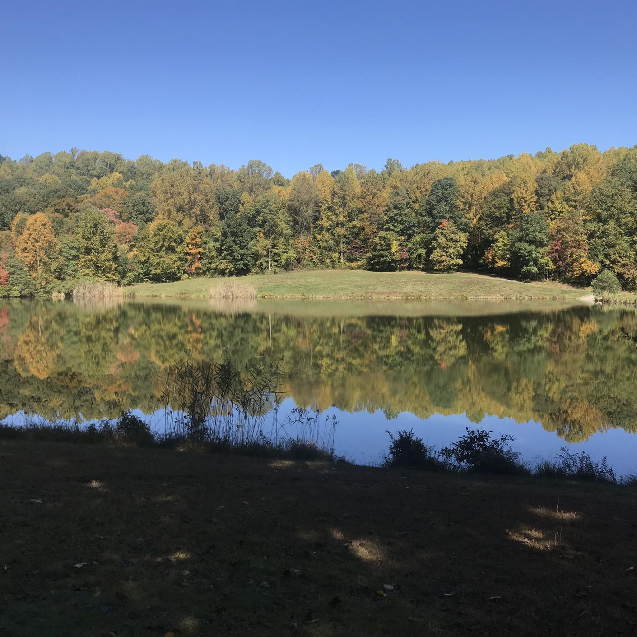
This lake provides a very peaceful spot to take a break and absorb the scenery. The water's unique green tint is stunning, especially with the trees reflecting off its surface.
2
0

Known as one of the premier mountain biking spots in the region, Mount Penn Preserve offers riders miles of scenic trails through Pennsylvania forests filled with rock gardens and other technical challenges to put skills to the test. Take care in the fall, when leaves hide potential obstacles along the trails.
0
0

Mount Penn Preserve is a 50 acre park on the edge of the city of Reading. It offers miles of hiking and trail running paths through the park. There are also picnic areas and restrooms.
0
0
Neversink Mountain Preserve is one of several preserves that border the city of Reading. The park has miles of hiking and running trails, a pavilion, restrooms and picnic areas.
0
1
Mount Penn Preserve is a 50 acre park on the edge of the city of Reading. It offers miles of hiking and trail running paths through the park. There are also picnic areas and restrooms.
0
0
Frequently Asked Questions
How many hiking trails are available around Lorane?
There are over 30 hiking trails available around Lorane, offering a variety of experiences. Most of these, around 20, are considered easy, while about 10 are of moderate difficulty.
What kind of terrain can I expect on hikes around Lorane?
Hikes around Lorane typically traverse the Central Oregon Coast Range foothills, featuring dense temperate rainforests and old-growth forests. You can expect lush, verdant scenery with varied terrain, including twisting paths and narrow sections, particularly within the extensive Carpenter Bypass Trail System.
Are there easy hiking options suitable for beginners in Lorane?
Yes, Lorane offers many easy hiking options perfect for beginners. Approximately 22 of the trails are rated as easy, such as the Upper Glen Trail loop — Neversink Mountain Preserve, which is about 3 miles (4.8 km) long and can be completed in around 1 hour 30 minutes.
What natural features or landmarks can I see while hiking near Lorane?
While hiking near Lorane, you can explore the diverse ecosystems of the Central Oregon Coast Range foothills, including temperate rainforests and old-growth forests. The area is also influenced by the North Fork Siuslaw River. Nearby attractions include Hopewell Dam, Scotts Run Lake, and Birdsboro Reservoir.
Are there any circular hiking routes in Lorane?
Yes, there are several circular hiking routes available. An example is the Neversink North & South Trail loop — Neversink Mountain Preserve, which covers about 4.7 miles (7.6 km) and takes around 2 hours 10 minutes to complete.
Can I bring my dog on the hiking trails in Lorane?
While many trails in Oregon are dog-friendly, it's always best to check specific trail regulations before heading out. Generally, dogs are welcome on leash in many natural areas, but rules can vary, especially within protected areas or private lands. Always practice Leave No Trace principles.
Are there family-friendly hiking trails in Lorane?
Yes, Lorane offers trails suitable for families. The easier routes, often around 3 miles (4.8 km) with gentle gradients, are ideal for family excursions. These paths allow for a pleasant experience exploring the natural areas without excessive difficulty.
What is the best time of year to hike in Lorane?
Lorane's temperate rainforest climate means lush greenery year-round. Spring and fall offer pleasant temperatures and vibrant scenery with wildflowers or colorful foliage. Summers are generally mild, while winters can be wet but still offer opportunities for quiet, verdant walks. Always check local weather conditions before your hike.
Where can I find parking for hiking trails in Lorane?
For the Carpenter Bypass Trail System, which is a major hiking area, designated parking facilities are available. For other trails, parking might be at trailheads or nearby public access points. It's advisable to check specific route details on komoot for parking information related to your chosen hike.
Is public transport available to reach hiking areas in Lorane?
Lorane is a rural area, and public transport options directly to trailheads are generally limited. Most visitors access hiking areas by private vehicle. Planning for personal transportation is recommended when exploring the trails around Lorane.
What do other hikers say about the trails in Lorane?
The hiking trails around Lorane are highly regarded by the komoot community, holding an average rating of 4.3 stars from over 30 reviews. Hikers often praise the diverse terrain, the beauty of the temperate rainforests, and the variety of options suitable for different ability levels.
Are there any waterfalls near Lorane that I can hike to?
The region around Lorane is known for its lush forests and river systems, but prominent waterfalls that are specific hiking destinations are not a primary feature mentioned in the area's natural attractions. The focus is more on the extensive trail networks and the unique temperate rainforest environment.
Most popular attractions around Lorane

Get inspired with the komoot mobile app


Explore more
Browse the best Hikes in other regions.
