The best walks and hikes around Eschlikon
4.5
(851)
4,391
hikers
25
hikes
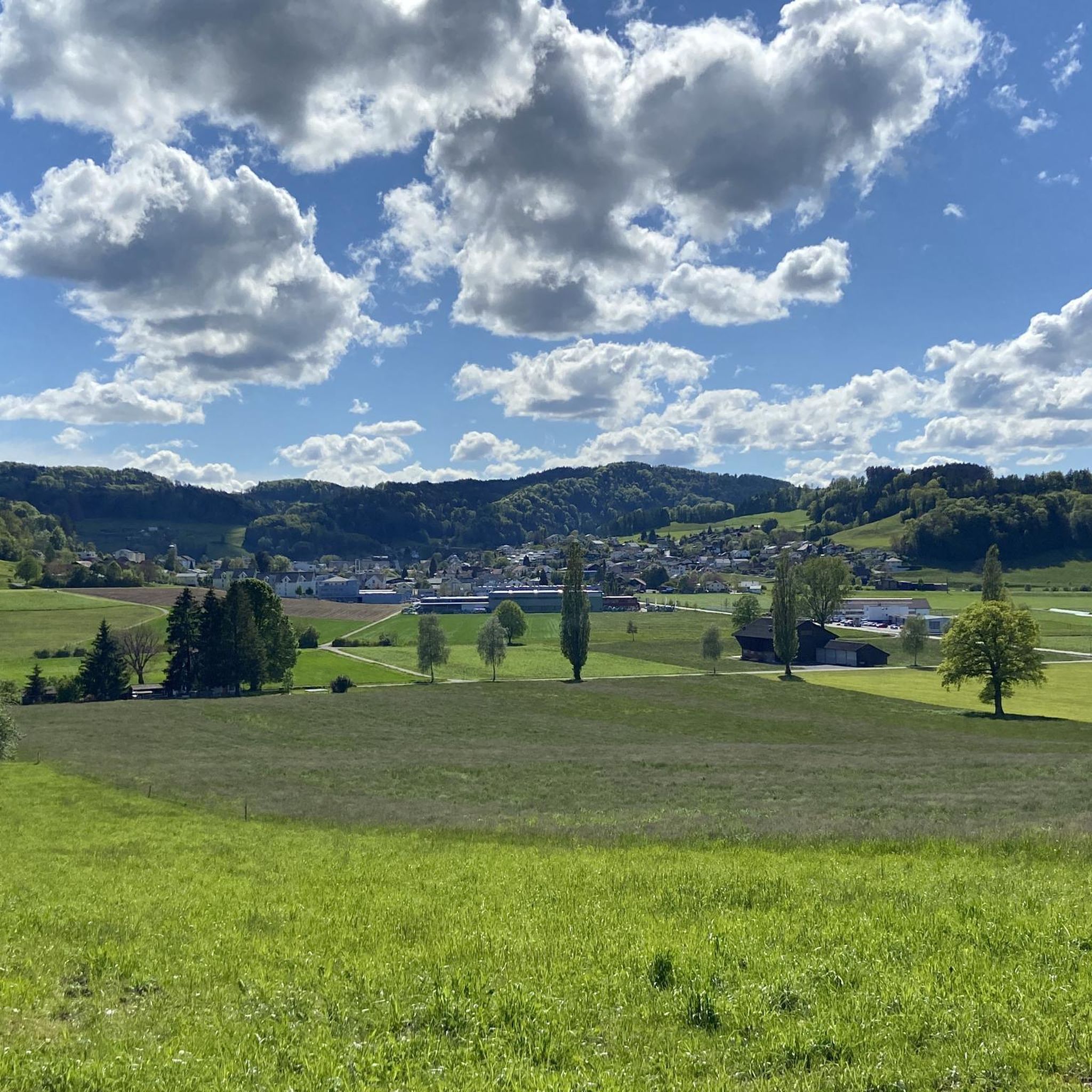
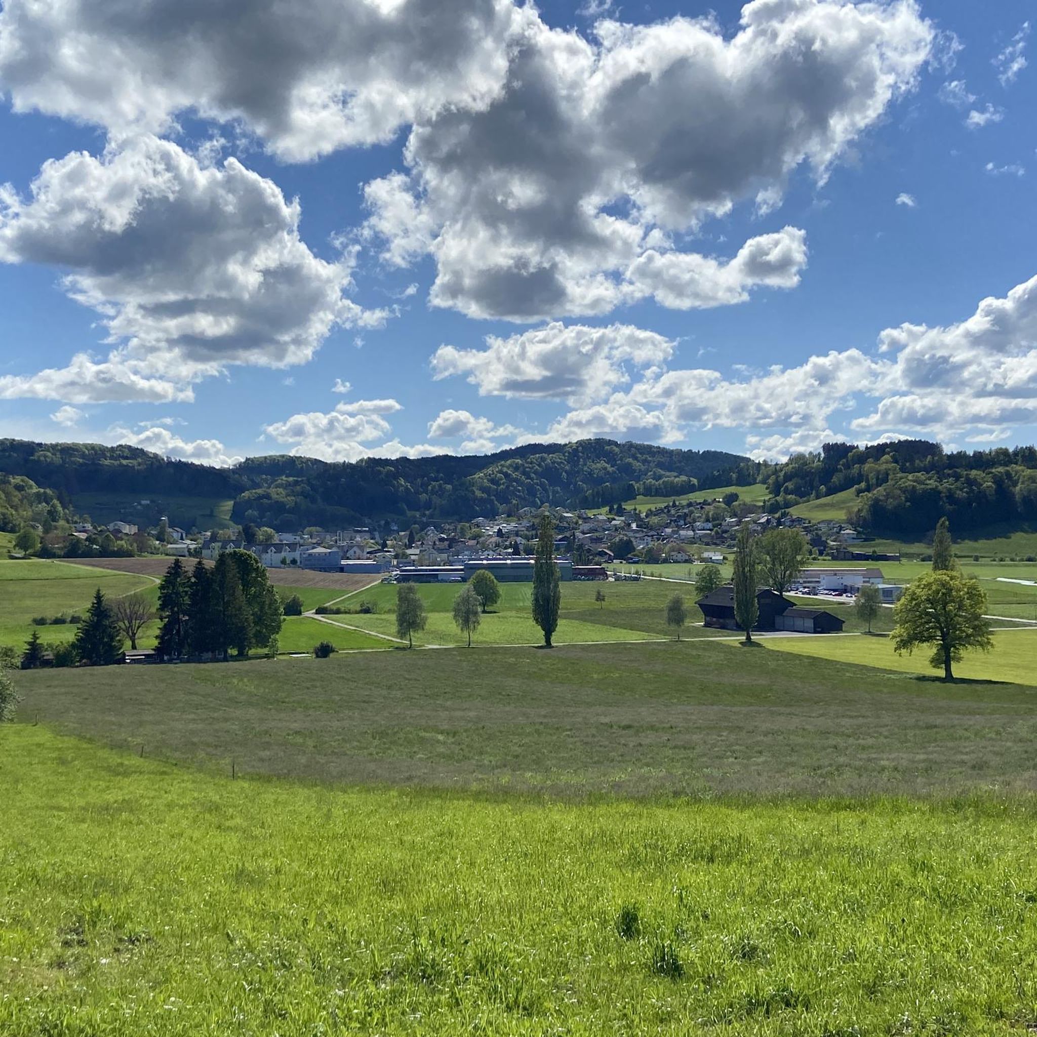
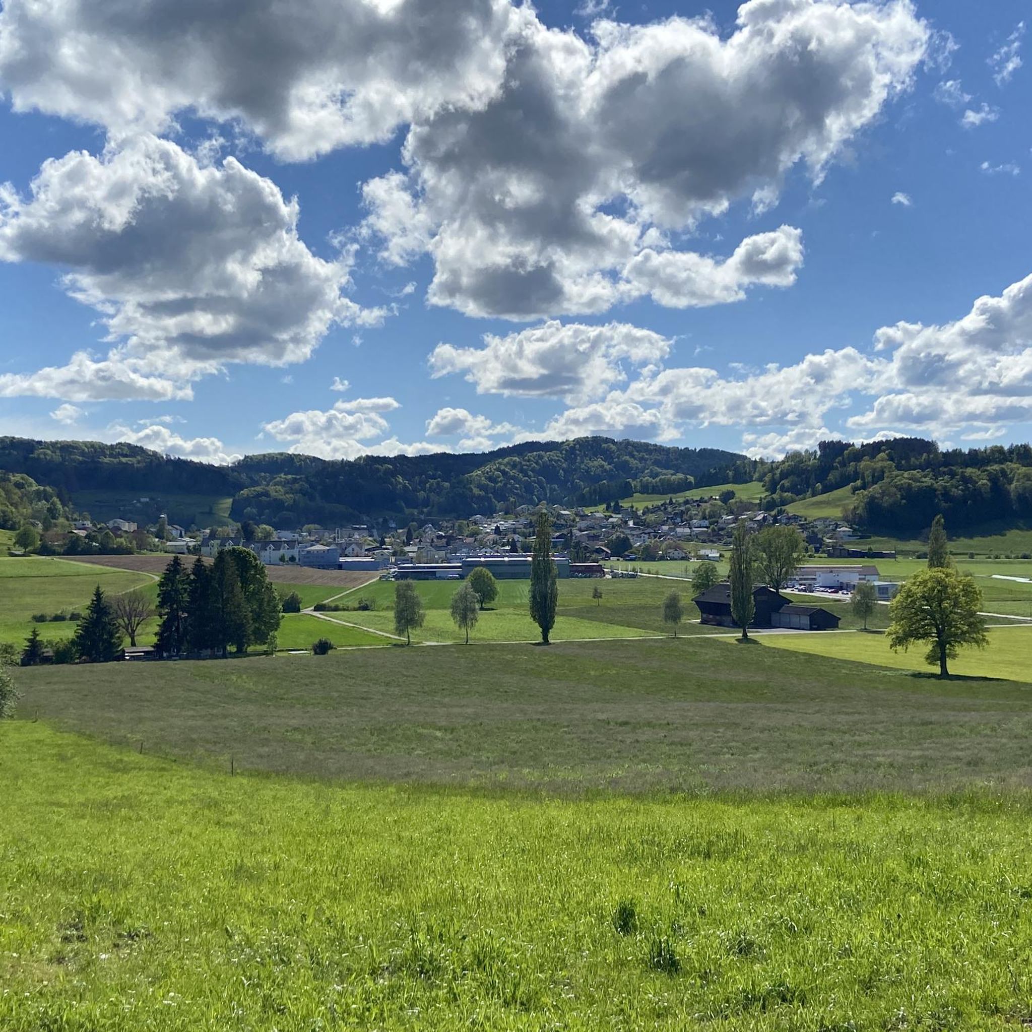
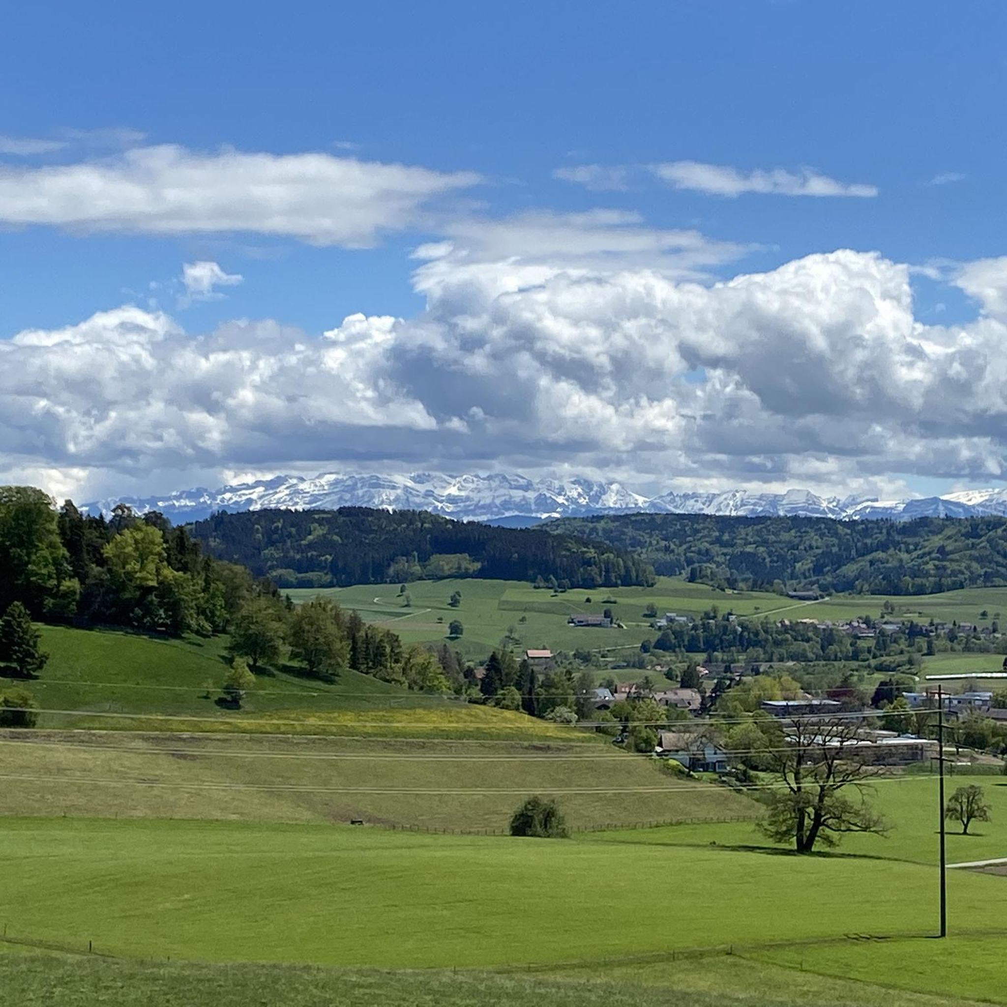
Hiking around Eschlikon offers a diverse landscape characterized by gentle hills, river valleys, and forested areas. The region features a network of trails that traverse varied terrain, including the Murg River landscape and local woodlands. Elevations are generally moderate, providing accessible outdoor experiences for various skill levels.
Best hiking trails around Eschlikon
- The most popular hiking route is Landsberg Ruins – Krillberg Forest Trails loop from Eschlikon, a 6.5 miles (10.4 km) trail that takes 2 hours 54 minutes…
Last updated: July 11, 2026
5.0
(3)
12
hikers
10.6km
02:57
190m
190m
Moderate hike. Good fitness required. Easily-accessible paths. Suitable for all skill levels.
4.3
(4)
9
hikers
5.66km
01:30
60m
60m
Easy hike. Great for any fitness level. Easily-accessible paths. Suitable for all skill levels.

Sign up for free
4.8
(5)
17
hikers
Easy hike. Great for any fitness level. Easily-accessible paths. Suitable for all skill levels.
4.0
(3)
7
hikers
7.60km
02:03
100m
90m
Moderate hike. Good fitness required. Easily-accessible paths. Suitable for all skill levels.
7
hikers
13.0km
03:46
310m
310m
Moderate hike. Good fitness required. Easily-accessible paths. Suitable for all skill levels.
Get access to more routes and recommendations from other explorers.
Sign up for free
Already have an account?
Our route recommendations are based on thousands of hikes, rides, and runs completed by other people on komoot.
Start today with a free account
Your next adventure awaits.
Login or Signup
Tips from the Community

Freudenberg An idyllic, rural hamlet near Münchwilen. Surrounded by meadows and forests, it offers a tranquil atmosphere and is a lovely stopover.
0
0
Bottomless Ponds A picturesque moorland pond known for its tranquil atmosphere and diverse flora and fauna. A popular destination for nature lovers and hikers.
0
0
Villa Sutter A historic villa in Münchwilen, surrounded by a beautiful park. A landmark on hikes through the region, it offers a glimpse into 19th-century architecture.
0
0

Seen from the road it's completely unspectacular, but the path is so beautiful with the many stone blocks as a base. The Murg also babbles happily.
1
0
Wild path through the pretty Josafatstaal, which is a nature reserve. In summer, bracken ferns grow that reach a height of almost 1.60m.
0
0

Great route, certain trails cross the route in between
0
0

Is always worth a tour.
0
0
Frequently Asked Questions
How many hiking trails are available around Eschlikon?
Eschlikon offers a network of over 25 hiking trails, catering to various skill levels. These include 9 easy routes, 14 moderate trails, and a couple of more challenging options for experienced hikers.
Are there family-friendly hiking options in Eschlikon?
Yes, Eschlikon is well-suited for family hikes. Many trails feature gentle terrain and moderate distances. An excellent option is the Ziegeleiweiher – Murg River Landscape loop from Bezirk Münchwilen, an easy 3.6-mile (5.7 km) path that offers views of the Ziegeleiweiher lake and follows the Murg River.
Can I find circular hiking routes around Eschlikon?
Many of the trails around Eschlikon are designed as circular routes, allowing you to start and end at the same point. For example, the Landsberg Ruins – Krillberg Forest Trails loop from Eschlikon is a popular 6.5-mile (10.4 km) loop passing by historical ruins and through forest paths.
Are there any waterfalls or natural monuments to see on the hikes?
Yes, the region around Eschlikon features several natural attractions. You can discover the beautiful Giessenfall Waterfall or explore the serene Lake Bichel. The Farenbachtobel Gorge also offers impressive natural scenery.
What are some easy hiking trails for beginners?
For beginners or those seeking a relaxed walk, Eschlikon offers several easy trails. The ORBIT Art Exhibition – View of Säntis and Churfirsten loop from Eschlikon is an easy 4.1-mile (6.6 km) trail that combines art with scenic views of the distant Säntis and Churfirsten mountains.
Are dogs allowed on the hiking trails in Eschlikon?
Generally, dogs are welcome on hiking trails in the Eschlikon region, provided they are kept on a leash, especially in nature protection areas or near livestock. Always ensure to clean up after your pet.
What do other hikers enjoy most about the trails in Eschlikon?
The komoot community highly rates the trails around Eschlikon, with an average score of 4.5 stars from over 800 reviews. Hikers frequently praise the diverse landscape, the tranquil river valleys, and the well-maintained paths that offer a mix of forest and open viewpoints.
Are there any challenging hikes for experienced trekkers?
While many trails are moderate, Eschlikon does offer a couple of more challenging routes for experienced hikers. These typically feature greater elevation changes and longer distances, providing a good workout amidst the region's varied terrain.
Are there places to eat or cafes along the hiking routes?
Many hiking routes in the Eschlikon area pass through or near villages where you can find local restaurants or cafes for refreshments. It's always a good idea to check the specific route details on komoot for points of interest or to pack your own snacks and drinks.
What is the best time of year to go hiking in Eschlikon?
The best time for hiking in Eschlikon is typically from spring through autumn (April to October). During these months, the weather is generally pleasant, and the landscapes are vibrant. Spring brings blooming flora, while autumn offers beautiful foliage. Winter hiking is also possible on cleared paths, but some trails might be less accessible.
Are there good viewpoints on the trails around Eschlikon?
Yes, several trails offer scenic viewpoints. The ORBIT Art Exhibition – View of Säntis and Churfirsten loop, for instance, provides distant views of the impressive Säntis and Churfirsten mountain ranges. Other routes through the gentle hills often open up to panoramic vistas of the surrounding countryside.
Is there parking available at the trailheads?
Most trailheads and popular starting points in and around Eschlikon have designated parking areas. It is advisable to check the specific tour details on komoot for information on parking facilities near your chosen starting point.
Can I reach the hiking trails using public transport?
Eschlikon is well-connected by public transport, primarily by train. Many trailheads are accessible within walking distance from train stations or bus stops in Eschlikon and surrounding villages, making it convenient to start your hike without a car.
Most popular routes around Eschlikon
Most popular attractions around Eschlikon

Get inspired with the komoot mobile app


Explore more
Browse the best Hikes in other regions.
