The 20 Most Amazing Peaks around Tschiertschen
Best mountain peaks around Tschiertschen are found in a picturesque alpine landscape in the Swiss mountain village of Tschiertschen, located in Graubünden. This region offers access to several notable mountain peaks, providing opportunities for hiking and panoramic views. The area is characterized by its diverse terrain, ranging from high summits to historical high-altitude sites. Visitors can explore a variety of natural features and viewpoints across the surrounding valleys.
Best mountain peaks around Tschiertschen
- The most popular mountain peaks is Weisshorn…
Last updated: October 10, 2026
Parpaner Rothorn Summit
Highlight • Summit
Translated by Google •
Tip by

Dreibündenstein Monument
Highlight • Monument
Showing Translation
Tip by

Sign up now to discover places like this
Get recommendations on the best single tracks, peaks, & plenty of other exciting outdoor places.
Weisshorn Summit (2,653 m)
Highlight • Summit
Translated by Google •
Tip by
Lenzerheide
Highlight • Settlement
Translated by Google •
Tip by

Hörnli Trail Summit
Highlight • Summit
Translated by Google •
Tip by
Sign up for free to discover even more peaks around Tschiertschen.
Already have an account?
Start today with a free account
Your next adventure awaits.
Popular around Tschiertschen
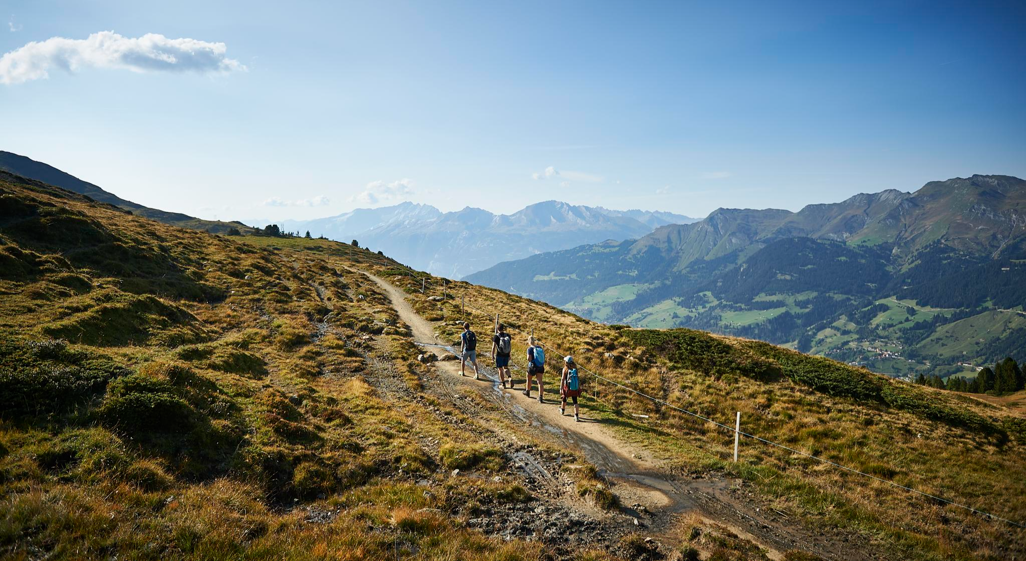
The favourite routes of the locals - hiking around Arosa
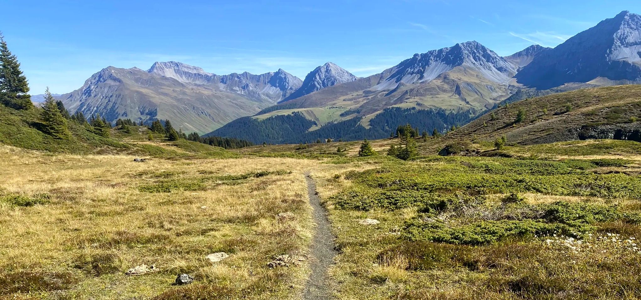
Explore an entire valley on foot - Schanfigger Höhenweg

On ancient paths towards Santiago — the Way of St. James Graubünden
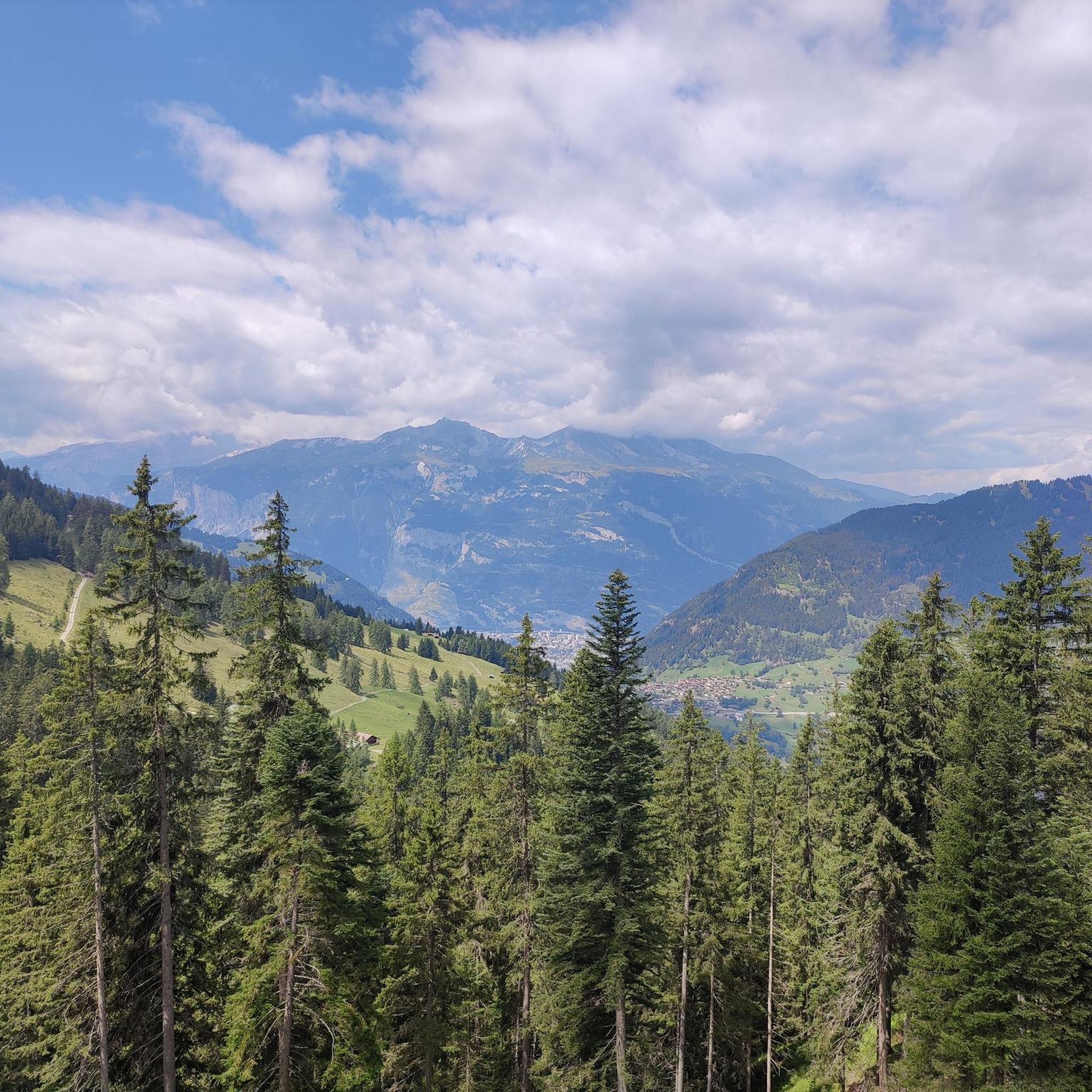
MTB Trails around Tschiertschen
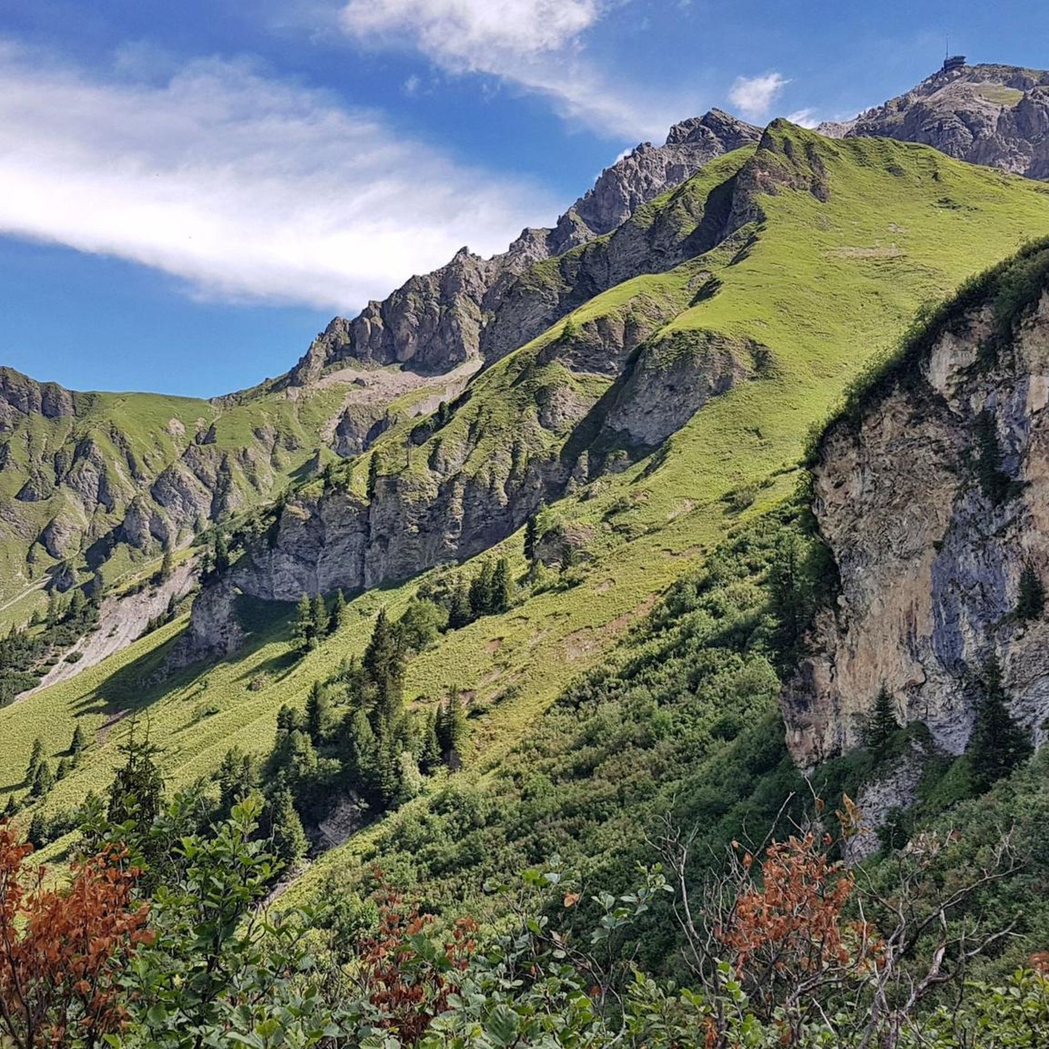
Cycling around Tschiertschen
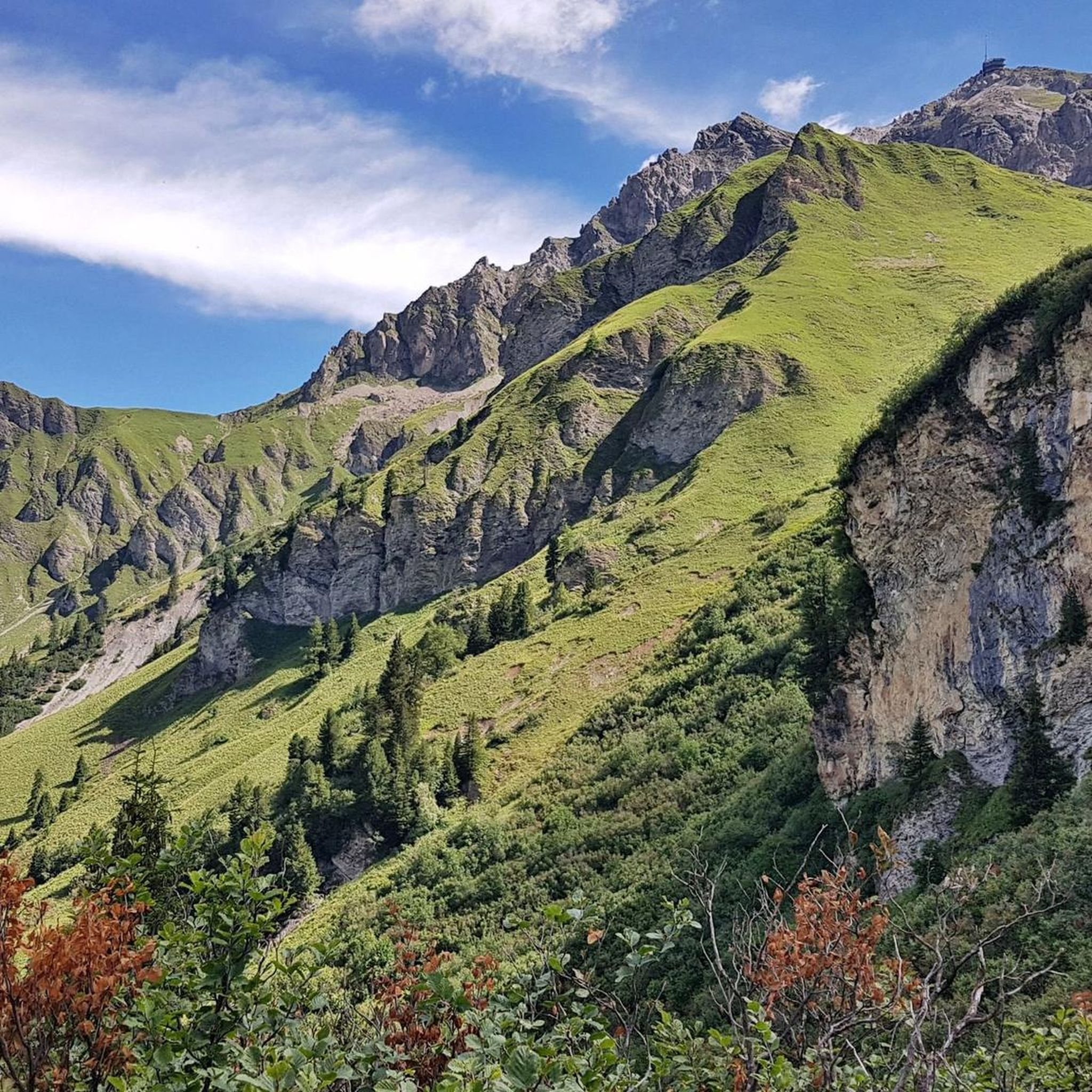
Road Cycling Routes around Tschiertschen
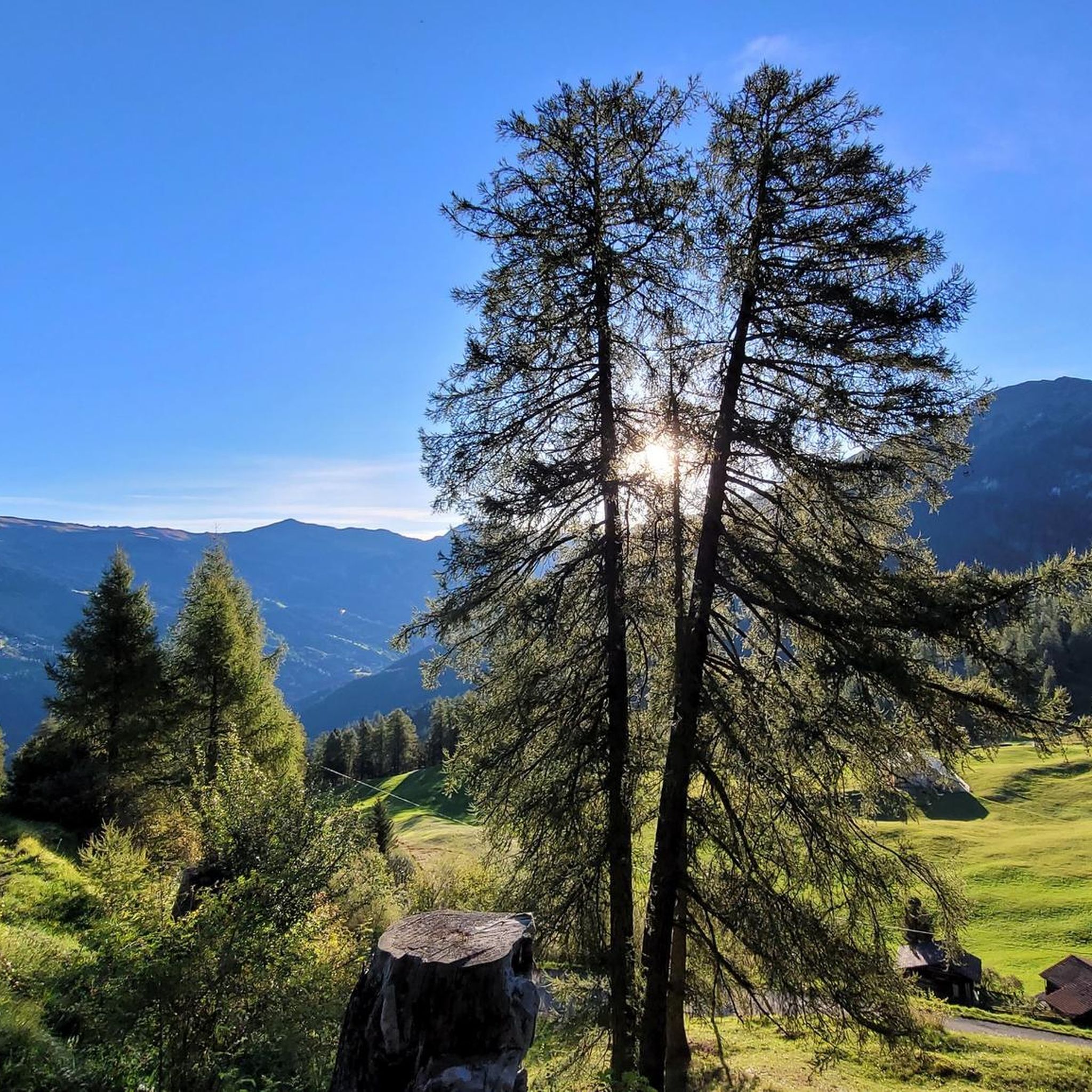
Hiking around Tschiertschen

Gravel biking around Tschiertschen
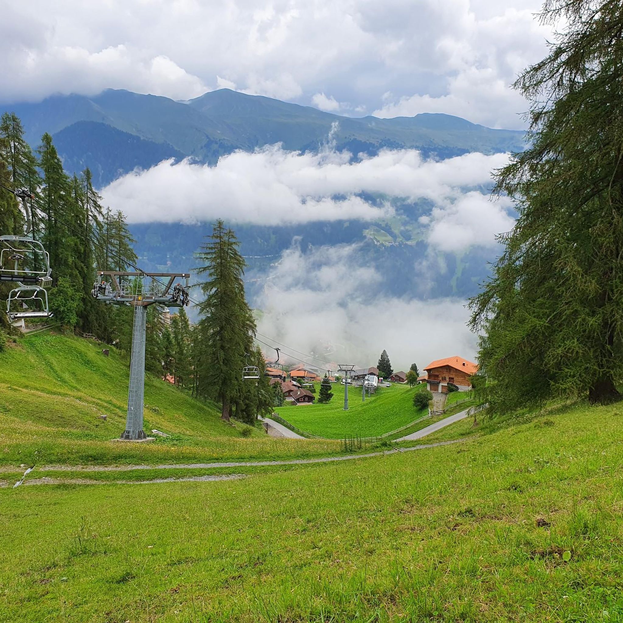
Running Trails around Tschiertschen
Other adventures around Tschiertschen


Tips from the Community

Reached the top, enjoy the view and then consider where to go next
0
0

Cable car with bike transport in 2 sections to the Weisshorn summit
0
0

Prepare for a long, exhausting but amazing 2000 descent!
0
0

Top view into the distance and of Arosa
0
0

The easiest way to reach the Hörnligrat by bike, and with the least amount of effort, is by taking the Hörnli Express gondola from Innerarosa. From here, you can then head back down to the valley in virtually any direction. The flowing Hörnli Trail back to Arosa is particularly popular. The other trails (which are not designated trails, so be careful of hikes) are also very worthwhile, although some are a bit more challenging (e.g., to Lake Urden, S3).
2
0

There are two ways to reach the Parpaner Rothorn: either by taking the cable car or by embarking on a challenging and strenuous hike. If you choose the latter option, you'll need sturdy footwear. Surefootedness and a head for heights are also beneficial on the ascent, ensuring you reach the summit safely. Next to the cable car station, there's also a panoramic restaurant where you can recharge with fine dining after a strenuous hike.
2
2
Frequently Asked Questions
What are some of the most notable mountain peaks around Tschiertschen?
Tschiertschen is surrounded by several impressive peaks. The Weisshorn Summit (2,653 m) is a popular choice, offering fantastic views. Another significant peak is the Parpaner Schwarzhorn (2,683 meters), known as the 'crown' of Tschiertschen's mountain tours. You can also explore the Parpaner Rothorn Summit, which features a panoramic restaurant.
Which peaks offer the best panoramic views near Tschiertschen?
For unparalleled panoramic views, the Parpaner Schwarzhorn (2,683 meters) is highly recommended, offering magnificent vistas in all directions. The Arosa Weisshorn (2,653 meters) also provides extensive views across the hiking and skiing area, with visibility of hundreds of mountains on clear days. The Parpaner Rothorn Summit and Gürgaletsch (2,441 meters) are also known for their expansive outlooks over the Schanfigg valley and beyond.
Are there challenging mountain climbs in the Tschiertschen area?
Yes, for those seeking a challenge, the hike to the summit of Parpaner Schwarzhorn traverses the entire Farur valley and is considered a demanding tour. The Weisshorn Summit (2,653 m) can also be reached via a strenuous but rewarding hike. Similarly, reaching the Parpaner Rothorn Summit on foot requires sturdy footwear and a head for heights.
How can I reach the mountain peaks around Tschiertschen?
Many peaks are accessible via well-maintained hiking trails. For some, like the Arosa Weisshorn and the Parpaner Rothorn Summit, you have the option of taking a cable car for a more relaxed ascent. The Urdenbahn cableway also provides a connection to Hörnligrat, near Urdenfürggli.
What historical sites can be found among the mountain peaks?
The Dreibündenstein Monument is a significant historical site located at 2,156 meters. It marks the former triple border point of the Free State of the Three Leagues and features the coats of arms of these Rhaetian leagues. While not a mountain peak itself, it offers a unique blend of history and scenic views.
What other outdoor activities are available near the mountain peaks?
Beyond hiking, the region offers diverse outdoor activities. You can find excellent mountain biking opportunities, with trails like the 'Älpliseetrail' and 'Hörnli Trail Summit' accessible from the area. For more details on routes, explore the MTB Trails around Tschiertschen guide. Road cycling is also popular, with routes around Lenzerheide and Chur. Check out the Road Cycling Routes around Tschiertschen guide for options.
Are there family-friendly options for exploring the mountains near Tschiertschen?
While many peaks involve challenging hikes, areas like Lenzerheide, which is connected to Tschiertschen via Urdenfürggli, offer more family-friendly environments and activities. When planning, look for trails described as 'moderate' or 'easy' in the Hiking around Tschiertschen guide, and consider using cable cars for easier access to viewpoints.
When is the best time to visit the mountain peaks near Tschiertschen?
The summer months are ideal for hiking and exploring the mountain peaks, offering pleasant temperatures and clear trails. Autumn also provides stunning scenery with vibrant foliage. For winter sports enthusiasts, peaks like Gürgaletsch are favored for freeriding, and ski touring is popular around Urdenfürggli.
What natural features can I discover on the mountain trails?
The trails around Tschiertschen lead through picturesque alpine landscapes, offering views of various natural features. You can encounter scenic valleys like the Farur and Urdental, and beautiful alpine lakes such as Urdensee. The region's diverse terrain provides a rich environment for flora and fauna.
What do visitors particularly enjoy about the mountain peaks near Tschiertschen?
Visitors consistently praise the fantastic, expansive views from the summits, often describing them as 'unforgettable.' The ability to reach some peaks via cable car makes these breathtaking vistas accessible to a wider range of visitors. The combination of challenging hikes and serene natural beauty is also highly appreciated.
Are there specific hiking trails recommended for exploring the peaks?
Many trails lead to and around the peaks. For instance, the hike to Parpaner Schwarzhorn traverses the entire Farur valley. The Urdenfürggli pass is a traditional route connecting Tschiertschen to Lenzerheide. You can find detailed routes and their difficulties in the Hiking around Tschiertschen guide, including options like the '2-lake hike to Älplisee and Schwellisee' and various loops from Tschiertschen.
Is it possible to find food and refreshments near the mountain peaks?
Yes, some peaks and mountain passes offer dining options. The Parpaner Rothorn Summit features a panoramic restaurant where you can enjoy Grisons specialties. The Arosa Weisshorn also has a mountain restaurant. Additionally, the Hörnli Trail Summit is a good spot for a stop at its mountain restaurant.
Most popular routes around Tschiertschen
Most popular attractions around Tschiertschen

Get inspired with the komoot mobile app


Explore more
See even more amazing summits around Tschiertschen with these guides:
