The best walks and hikes around Eslarn
4.7
(114)
583
hikers
72
hikes
Hiking around Eslarn offers diverse trails within the Upper Palatinate Forest, characterized by extensive woodlands and varied terrain. The region features prominent natural landmarks such as the Stückberg, which includes an observation tower, and the Eslarn Wildlife Park. Hikers can explore a network of paths that traverse forests and lead to viewpoints, providing perspectives of the surrounding landscape.
Best hiking trails around Eslarn
- The most popular hiking route is Stückberg Fountain – Stückberg Observation Tower loop from Kreuth, a…
Last updated: June 27, 2026
4.8
(33)
169
hikers
4.23km
01:18
160m
160m
Easy hike. Great for any fitness level. Easily-accessible paths. Suitable for all skill levels.
4.7
(11)
59
hikers
6.36km
01:51
170m
170m
Easy hike. Great for any fitness level. Easily-accessible paths. Suitable for all skill levels.

Sign up for free
4.7
(13)
42
hikers
14.2km
04:03
320m
320m
Moderate hike. Good fitness required. Easily-accessible paths. Suitable for all skill levels.
5.0
(1)
21
hikers
19.8km
05:29
350m
350m
Hard hike. Very good fitness required. Easily-accessible paths. Suitable for all skill levels.
5.0
(1)
16
hikers
5.56km
01:39
170m
170m
Easy hike. Great for any fitness level. Easily-accessible paths. Suitable for all skill levels.
Get access to more routes and recommendations from other explorers.
Sign up for free
Already have an account?
Our route recommendations are based on thousands of hikes, rides, and runs completed by other people on komoot.
Start today with a free account
Your next adventure awaits.
Login or Signup
Popular around Eslarn
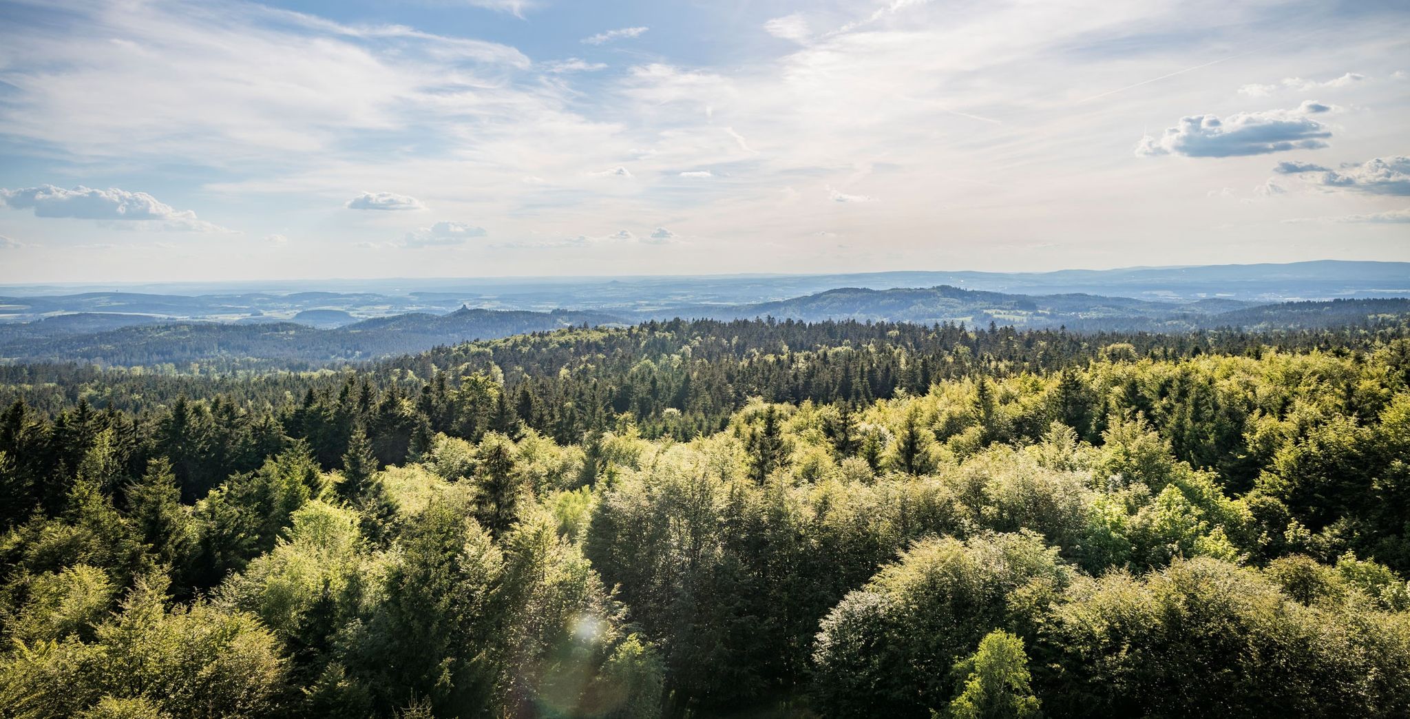
Nurtschweg – Hiking along the German-Czech border
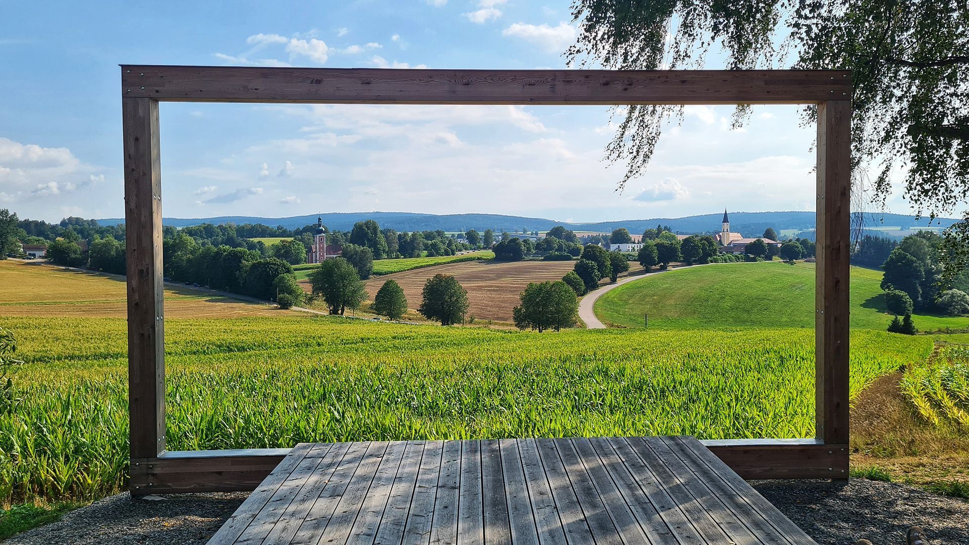
Hike the Glass Cutter Trail through the Upper Palatinate Forest
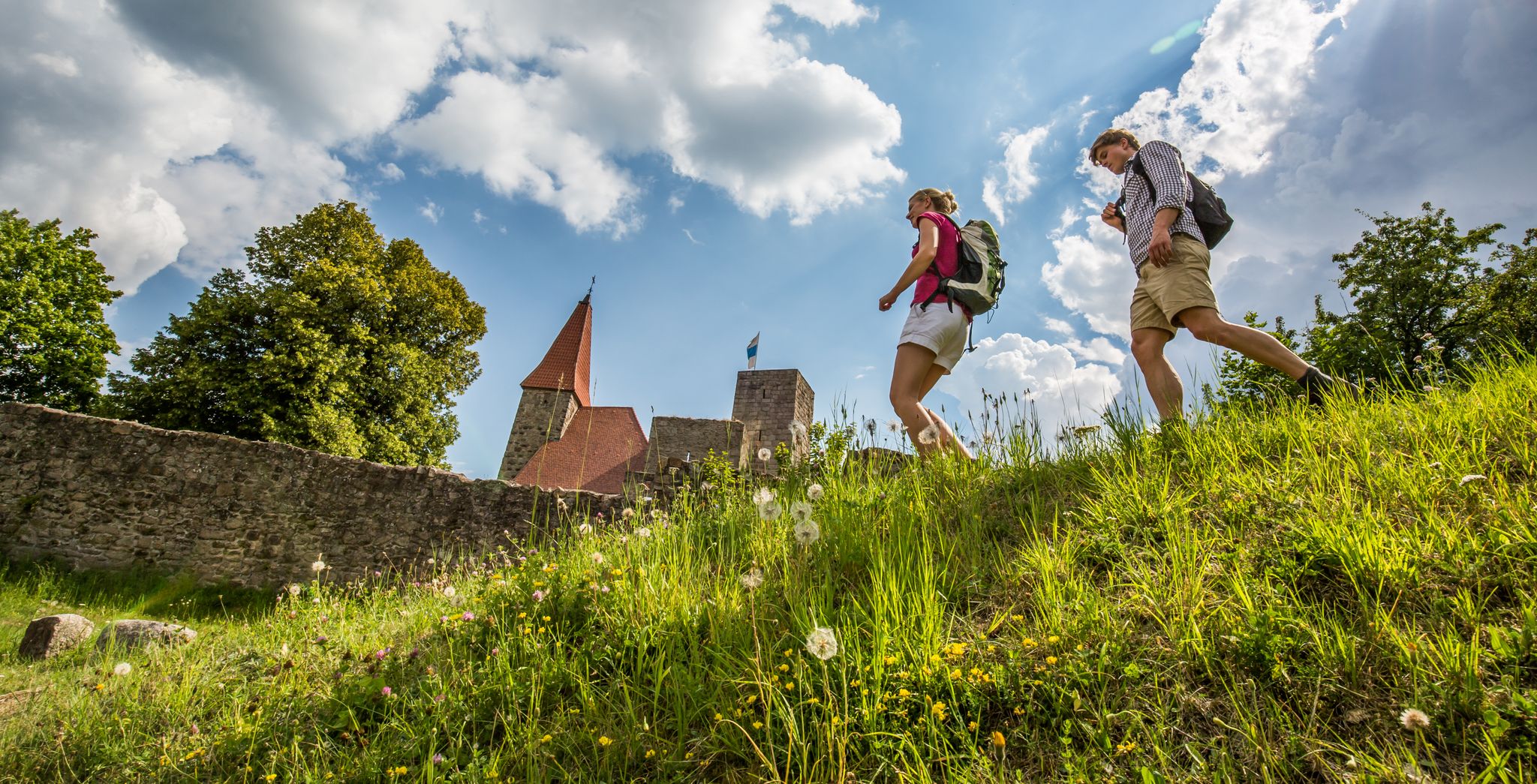
Water, forest and castles — hiking in the Upper Palatinate Forest
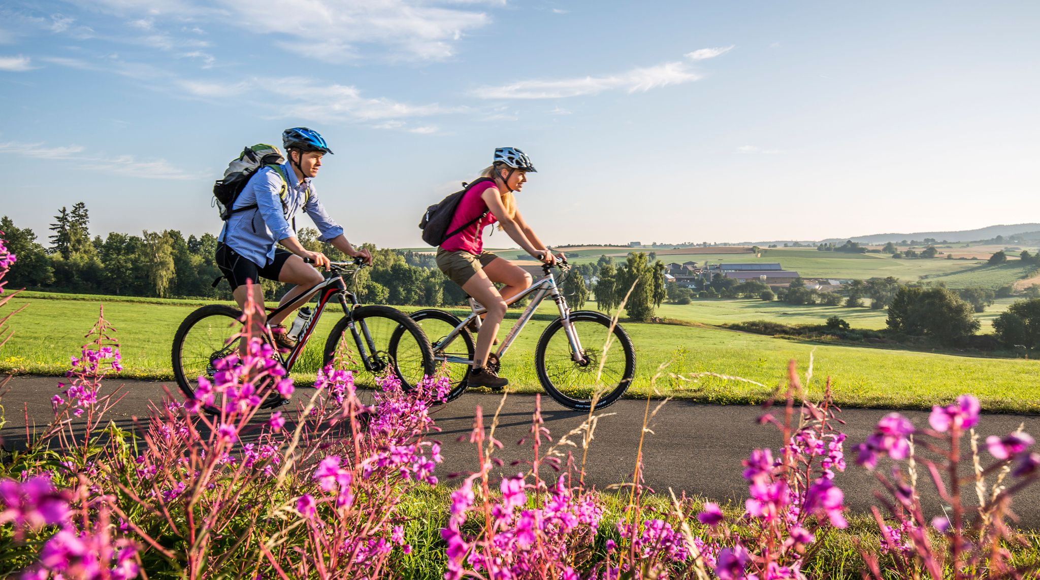
Nature and Culture — Cycling in the Upper Palatinate Forest
Cycling around Eslarn
MTB Trails around Eslarn
Road Cycling Routes around Eslarn
Running Trails around Eslarn
Gravel biking around Eslarn
Other adventures around Eslarn


Tips from the Community

Not frozen even at this time of year
0
0

Beautiful view and yet a little remote...
0
0

The view is always beautiful...
1
0

I don't know if it's still open? According to the internet, it is. Everything's up to date, from overnight stays with breakfast to full board, everything's possible. Respect.
1
0
Yes, there used to be a lot of snow on the Stückberg, goodbye to the ski slope
2
0
Something hidden, you have to find it first
1
0
It lies in the shade and provides fresh water
2
0
Beautifully landscaped barefoot path
3
1
Frequently Asked Questions
How many hiking trails are available around Eslarn?
There are over 70 hiking trails around Eslarn, offering a wide range of options for different skill levels. You'll find everything from easy strolls to more challenging, longer routes within the Upper Palatinate Forest.
Are there any easy hiking trails suitable for beginners or families?
Yes, Eslarn offers numerous easy trails. About half of the routes are classified as easy. A good option is the Stückberg Fountain – Stückberg Observation Tower loop from Kreuth, which is 4.1 km long and takes about 1 hour 15 minutes. Another easy choice is the Stückberg – Stückberg Observation Tower loop from Kreuth, covering 6.4 km.
What kind of terrain can I expect on hikes around Eslarn?
Hiking around Eslarn is characterized by extensive forests and varied terrain. You'll encounter paths through woodlands, leading to viewpoints, and sometimes through more open areas. The region is part of the Upper Palatinate Forest, known for its diverse landscapes.
Are there any challenging routes for experienced hikers?
Yes, for experienced hikers seeking a challenge, Eslarn has several difficult routes. One notable option is the Stückberg Observation Tower – Eslarn Wildlife Park loop from Eslarn. This route is 19.8 km long and typically takes around 5 hours 29 minutes to complete, traversing varied terrain including the Eslarn Wildlife Park.
What are some notable landmarks or viewpoints I can see while hiking?
The region boasts several significant landmarks and viewpoints. The Stückberg features an observation tower offering great views. You can also visit the Böhmerwald Observation Tower, which provides panoramic views of the Upper Palatinate, Bohemian, and Bavarian Forests. Historical sites like the Abandoned Village of Bügellohe are also accessible via hiking trails.
Are there any circular hiking routes in Eslarn?
Yes, many of the trails around Eslarn are circular, allowing you to start and end at the same point. Examples include the Stückberg Fountain – Stückberg Observation Tower loop from Kreuth and the Tillyschanze Fortification loop from Železná.
What do other hikers say about the trails in Eslarn?
The hiking trails in Eslarn are highly regarded by the komoot community, holding an average rating of 4.7 out of 5 stars from over 90 reviews. Over 500 hikers have used komoot to explore the area, often praising the well-maintained paths and the diverse natural beauty of the Upper Palatinate Forest.
Can I visit the Eslarn Wildlife Park during a hike?
Yes, the Eslarn Wildlife Park is integrated into some hiking routes, allowing you to experience local fauna within its natural habitat. The Eslarn Wildlife Park – Stückberg Observation Tower loop from Kreuth is an easy 5.5 km trail that includes the wildlife park.
Are there any historical sites or ruins to explore on hikes?
Absolutely. For those interested in history, the Abandoned Village of Bügellohe is a unique site accessible only on foot, offering a glimpse into a former settlement. Additionally, you can find castle ruins like Reichenstein Castle Ruins and Wildstein Castle Ruins in the vicinity.
What is the best time of year to go hiking in Eslarn?
Eslarn offers enjoyable hiking experiences throughout much of the year. Spring and autumn provide pleasant temperatures and beautiful scenery with blooming flora or vibrant fall colors. Summer is also popular, though some trails might be busier. Winter hiking is possible, but conditions can vary, so checking local weather is always recommended.
Are there any trails that lead to the Stückberg Observation Tower?
Yes, several trails lead to the Stückberg Observation Tower. Popular options include the easy Stückberg Fountain – Stückberg Observation Tower loop from Kreuth and the slightly longer Stückberg – Stückberg Observation Tower loop from Kreuth. Both offer rewarding views from the tower.
Most popular attractions around Eslarn

Get inspired with the komoot mobile app


Explore more
Browse the best Hikes in other regions.
