The 11 Most Amazing Peaks around Stiwoll
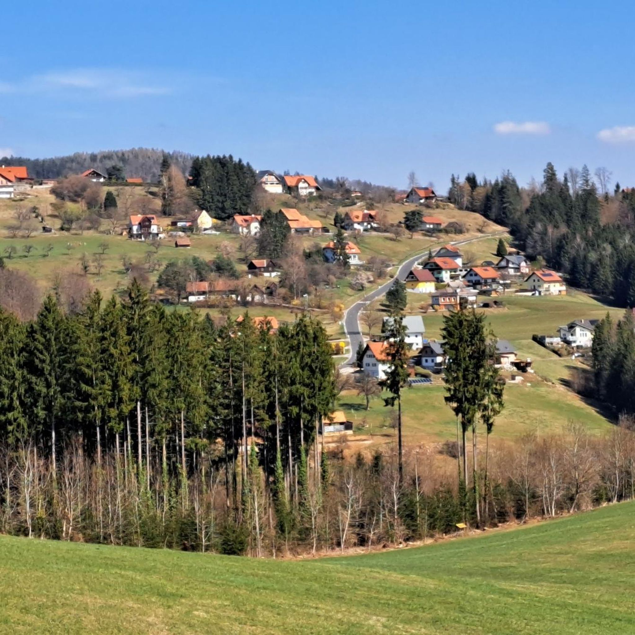
Best mountain peaks around Stiwoll are characterized by rolling hills, valleys, and lush forests, rather than traditional towering summits. The region features an average elevation of 616 meters, reaching a maximum height of 1,023 meters. Its appeal lies in serene hill routes, scenic ridges, and panoramic views suitable for hiking and nature enjoyment. Stiwoll offers an idyllic setting for outdoor enthusiasts seeking tranquility and picturesque vistas in the Styrian countryside.
Best mountain peaks around Stiwoll
- The most popular mountain peaks…
Last updated: July 1, 2026
Summit of Schartnerkogel
Highlight • Summit
A few meters further you will find a very nice vantage point.
Translated by Google •
Tip by

Neu-Leonroth Castle Ruins
Highlight • Castle
Translated by Google •
Tip by

Sign up now to discover places like this
Get recommendations on the best single tracks, peaks, & plenty of other exciting outdoor places.
Sign up for free
Wartenstein Summit
Highlight • Summit
Translated by Google •
Tip by

Hochstein Summit (925 m)
Highlight • Summit
Translated by Google •
Tip by
Heilig-Kreuz Carmelite Monastery
Highlight • Religious Site
Translated by Google •
Tip by
Sign up for free to discover even more peaks around Stiwoll.
Sign up for free
Already have an account?
Start today with a free account
Your next adventure awaits.
Login or Signup
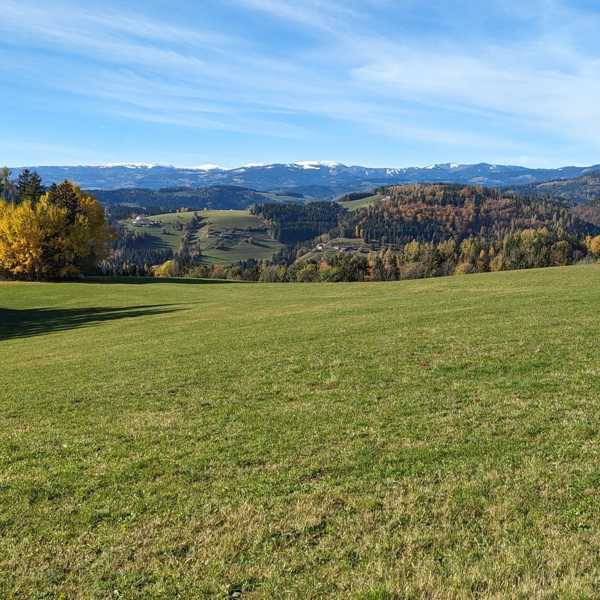
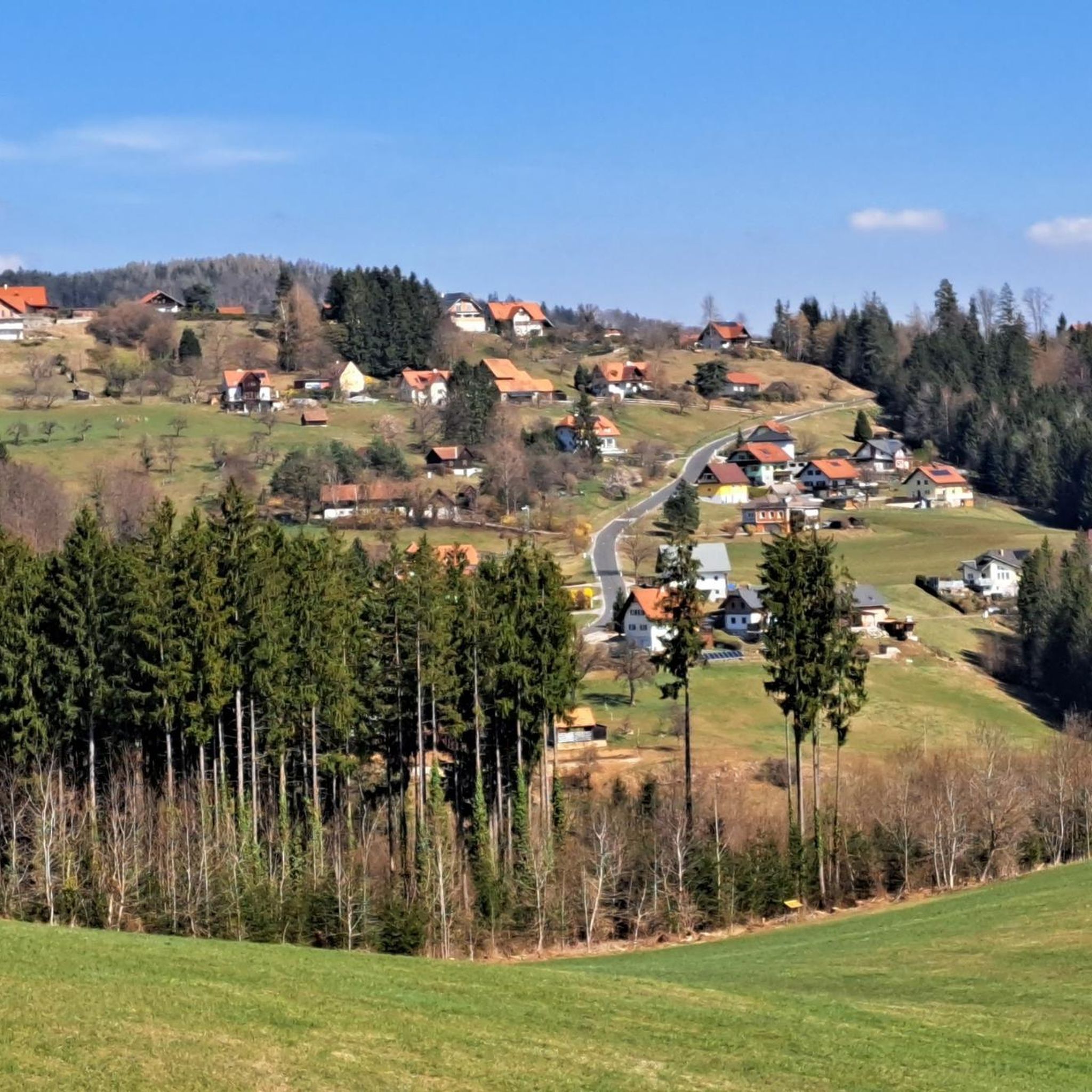
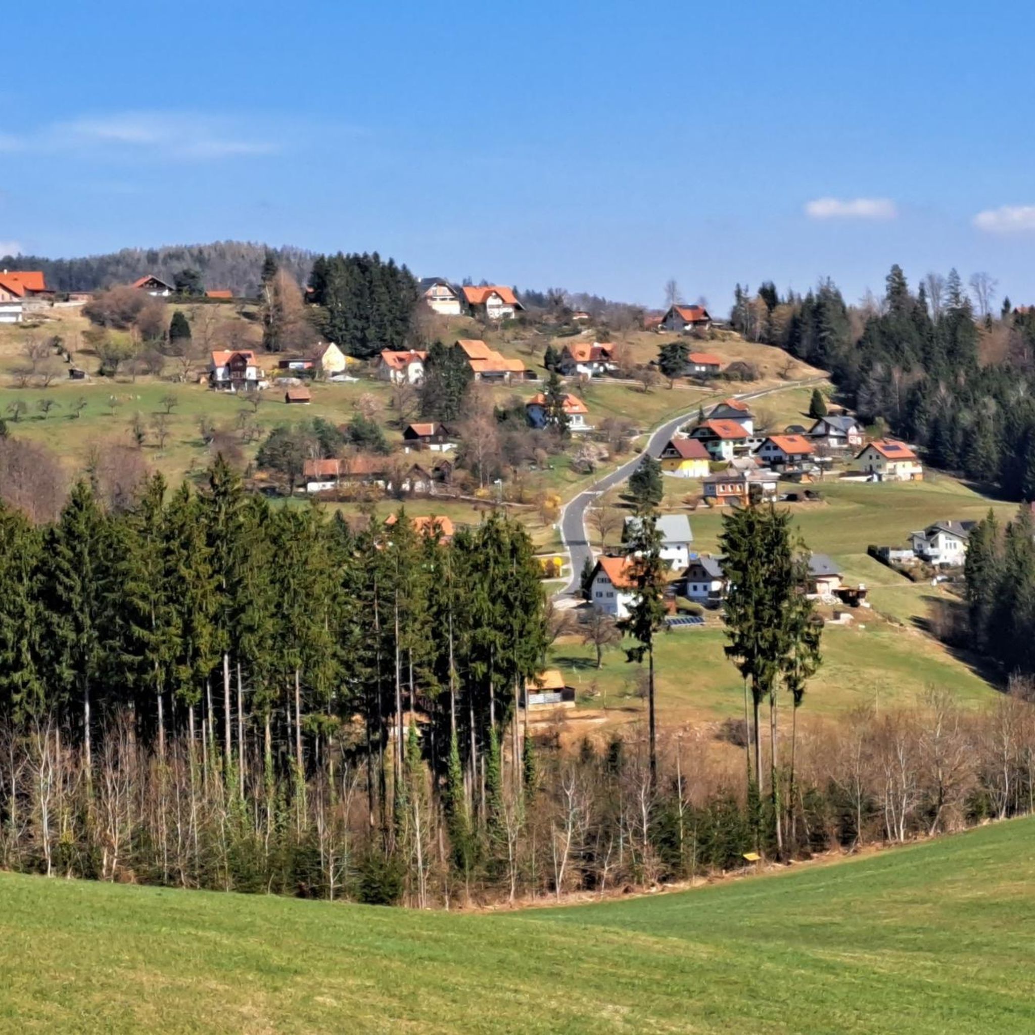
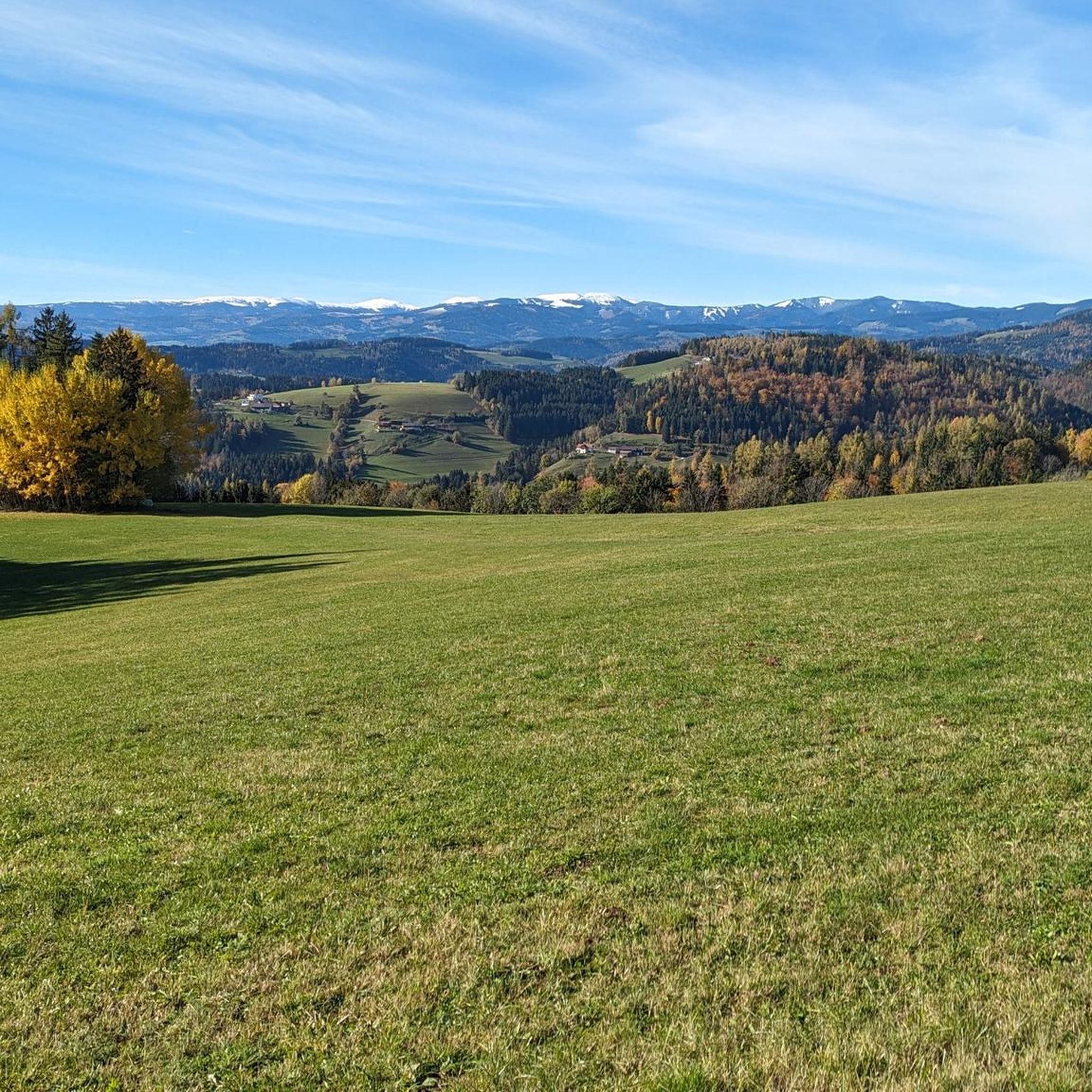

Tips from the Community

The cross was recently renewed. The hike to Wartenstein is very beautiful and varied.
1
0

Sure-footedness and good shoes are required for the last few meters to the Hochstein, because the stony ground makes it very slippery and there is a steep descent on both sides of the path. The summit is only a few square meters and there is a steep descent all around. The distant view is fantastic.
1
0
The summit is part of a nature reserve. A few meters further you will find a very nice vantage point.
2
0
The summit cross is not at the marked point, it is directly at the Schartnerkogel highlight.
0
0

Hard to find, somewhere in the woods
1
0
Beautiful paths by bike or on foot
1
0

At the top of the hill is a monastery with a church and chapel. There is also a Way of the Cross here.
0
0

A few meters further from the summit cross there is a beautiful view of the mountains.
1
0
Frequently Asked Questions
What are some of the most popular elevated areas to visit around Stiwoll?
Visitors frequently enjoy the Summit of Schartnerkogel, known for its nature reserve status and a vantage point offering views of the surrounding mountains. Another popular spot is Wartenstein Summit, an 803-meter elevation featuring a recently renewed cross and varied hiking paths. The Heilig-Kreuz Carmelite Monastery, situated on a small mountain summit, also draws visitors with its mystical location and historical significance.
What kind of terrain can I expect when hiking in the Stiwoll region?
The Stiwoll region is characterized by rolling hills, valleys, and lush forests, rather than traditional towering peaks. You'll find serene hill routes, scenic ridges, and plateaus offering panoramic views. The terrain is ideal for those seeking tranquility and picturesque vistas, with an average elevation of 616 meters and a maximum height of 1,023 meters.
Are there any historical landmarks or cultural sites on the elevated areas near Stiwoll?
Yes, the Heilig-Kreuz Carmelite Monastery is a notable historical and cultural site. It's a religious building located on a small mountain summit, featuring a church and chapel, and is considered a mystical location. Additionally, the Neu-Leonroth Castle Ruins, dating from the 13th to 14th century, can be found enchanted in a forest, with many parts of its walls, gates, and windows still preserved.
What are the best viewpoints in the Stiwoll area?
For expansive vistas, the Summit of Schartnerkogel offers a beautiful vantage point a few meters from its summit cross. The Hochstein Summit (925 m) provides fantastic distant views, though it requires sure-footedness for the final meters. Generally, many of Stiwoll's scenic ridges and plateaus offer impressive views of the Graz region and the western Styrian hills.
What outdoor activities can I do near the elevated areas of Stiwoll?
Beyond hiking the hill routes and ridges, you can explore various cycling, gravel biking, and running trails. For cycling, check out the Cycling around Stiwoll guide. If you prefer gravel biking, the Gravel biking around Stiwoll guide offers several routes. For runners, the Running Trails around Stiwoll guide provides options for different distances and difficulties.
Are there any challenging routes for experienced hikers in Stiwoll?
While many routes offer moderate enjoyment, the Hochstein Summit (925 m) is noted for requiring sure-footedness and good shoes due to slippery, stony ground and steep descents on both sides of the path near the summit. The 'Stallhofner Rundweg' is also mentioned as a challenging circular trail with significant elevation changes.
What is the best time of year to visit Stiwoll for hiking?
The region's lush forests and scenic ridges are enjoyable throughout the warmer months. While specific seasonal recommendations aren't detailed, the area's appeal for nature enjoyment suggests spring, summer, and autumn are ideal for hiking and appreciating the panoramic views and quiet forest paths.
What do visitors appreciate most about the elevated areas around Stiwoll?
Visitors frequently highlight the tranquility and picturesque views. The Summit of Schartnerkogel is praised for its beautiful vantage point, and the Wartenstein Summit is noted for its beautiful and varied hiking paths. The overall unspoiled nature and opportunity to connect with the rural environment are highly valued.
Are there any specific trails or circular routes recommended for exploring Stiwoll's hills?
Yes, circular hiking trails across the plateau between Stiwoll, Steinberg, and Kalkleiten are particularly highlighted for those seeking tranquility and regional culture. Other mentioned routes include 'Pleschwirt - lonely route from Eckwirt' and a moderate route encompassing 'Plesch - Walz - Mühlbacher Kogel'. The 'Stallhofner Rundweg' is a challenging circular trail through forests, meadows, and paved roads.
What natural features are prominent in the Stiwoll region?
Stiwoll is known for its picturesque landscapes of rolling hills, valleys, and lush forests. The region features serene hill routes, scenic ridges, and plateaus that offer expansive vistas. It's an area rich in unspoiled nature, providing quiet forest paths and panoramic views extending as far as the Murtal.
Can I find rest areas or picnic spots along the trails in Stiwoll?
Yes, the area is designed for enjoyable outdoor experiences. You can expect to find rest areas and picnic spots along the well-marked routes, making it convenient for half-day tours and longer excursions.
Most popular attractions around Stiwoll

Get inspired with the komoot mobile app


Explore more
See even more amazing summits around Stiwoll with these guides:
