The best MTB trails around Leon Valley
4.9
(30)
129
riders
5
rides
Mountain biking around Leon Valley offers diverse terrain within the larger San Antonio greenway system. The landscape features rolling hills and creek-side paths, characteristic of the Texas Hill Country. Trails often navigate through juniper-oak woodlands and grasslands, providing a mix of natural scenery and developed paths. The area is well-connected to extensive trail systems like the Leon Creek Greenway, offering varied riding experiences.
Best mountain bike trails around Leon Valley
- The most popular mountain bike trail is Pumptrack – Drinking…
Last updated: June 26, 2026
5.0
(4)
15
riders
45.2km
02:21
120m
120m
Moderate mountain bike ride. Good fitness required. Advanced riding skills necessary.
2.46km
00:11
0m
0m
Moderate mountain bike ride. Great for any fitness level. Advanced riding skills necessary.

Sign up for free
5.0
(8)
49
riders
Moderate mountain bike ride. Great for any fitness level. Advanced riding skills necessary.
5.0
(5)
32
riders
Easy mountain bike ride. Great for any fitness level. Suitable for all skill levels.
4.5
(4)
13
riders
Moderate mountain bike ride. Great for any fitness level. Advanced riding skills necessary.
Our route recommendations are based on thousands of hikes, rides, and runs completed by other people on komoot.
Start today with a free account
Your next adventure awaits.
Login or Signup



Tips from the Community

Upper Drury is a dirt alternative to the paved Leon Creek Greenway. It's a good option if you want to run laps on Blurred Lines.
0
0
This spot is a crossroads of sorts. The paved Leon Creek Greenway connects to a number of different dirt singletrack trails, such as "Blurred Lines", which offer riders a bit of off-road technicality to their ride.
0
0
Leon Creek Greenway is an easy, paved trail that runs for miles across the city. Carnage is an adapted motocross trail with a number of berms and jumps. Take you pick and have a good ride!
0
0

Bamberger Nature Park is a small park with unpaved trails and lots of opportunities to spot wildlife, despite its small size.
0
0

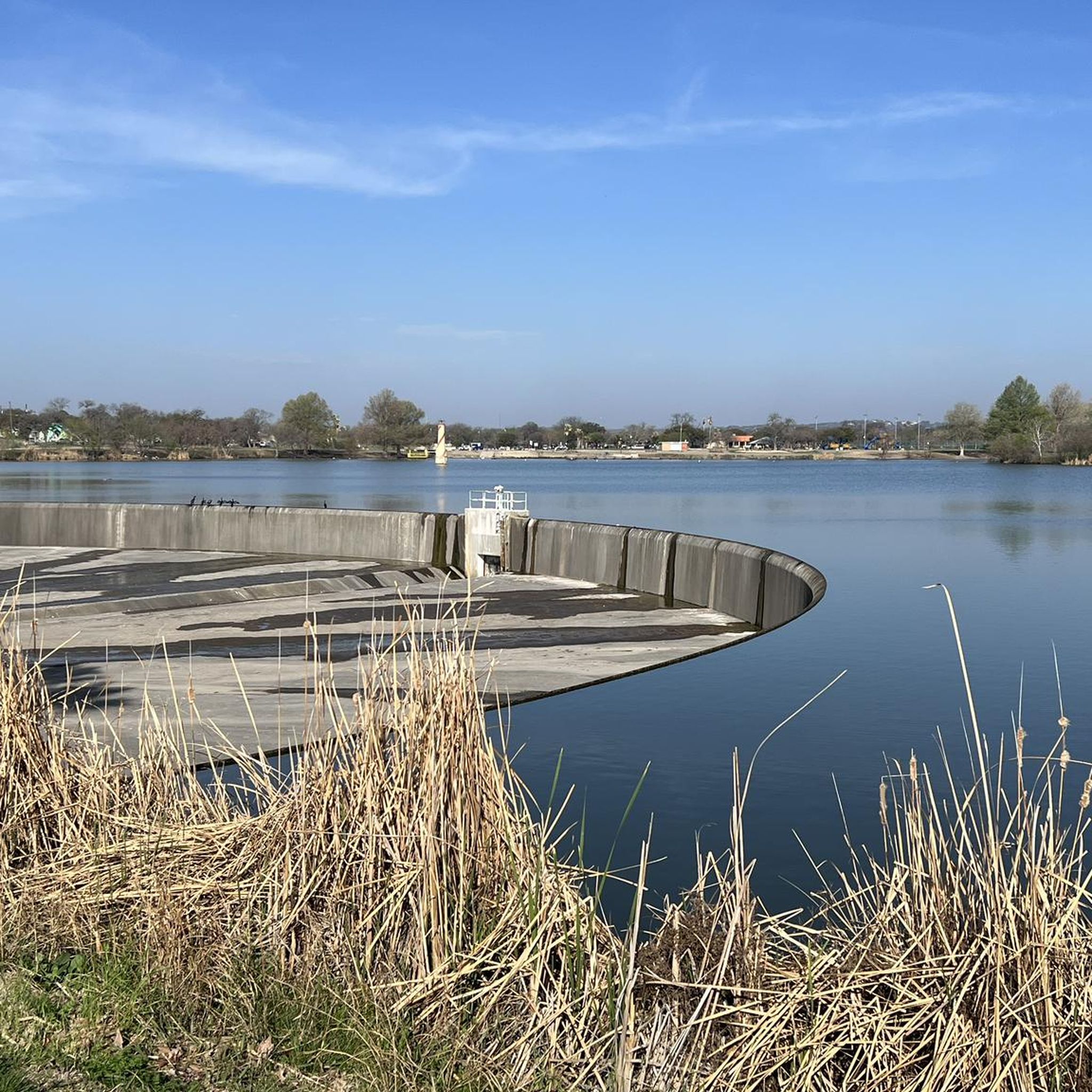
Known as a popular fishing spot among locals, Buddy Calk Pond is stocked with fish by Texas Parks and Wildlife. The pond is situated near the Buddy Calk Trailhead on the Leon Creek Greenway, making it very accessible.
0
0
Often praised for its variety of activities, peaceful atmosphere, and abundance of shade trees, it's a popular spot for locals to enjoy a day outdoors, whether it's for exercise, relaxation, or spending quality time with family and friends. The park boasts convenient access to the Leon Springs Greenway, a network of trails perfect for longer explorations.
1
0

Buddy Calk Pond is a small body of water off the side of the Leon Creek Greenway Trail. There are paths on the other side of the water that you can explore during your run, too.
0
0
Bamberger Nature Park is a small park with unpaved trails and lots of opportunities to spot wildlife, despite its small size.
0
0
Frequently Asked Questions
How many mountain bike trails are available around Leon Valley?
There are 8 mountain bike routes around Leon Valley, offering a range of experiences from easy greenway paths to more challenging singletrack sections.
What kind of terrain can I expect on mountain bike trails in Leon Valley?
The trails around Leon Valley feature rolling hills and creek-side paths, characteristic of the Texas Hill Country. You'll navigate through juniper-oak woodlands and grasslands, with some sections offering winding singletrack, hardpack dirt, loose rock, and even solid rock creekbeds with fun creek crossings, particularly along the Leon Creek Greenway.
Are there any easy mountain bike trails suitable for beginners in Leon Valley?
Yes, Leon Valley offers several easy routes. For instance, the Drinking Fountain at Fox Park – Leon Creek Greenway Trail loop from Bird of Prey is an easy 13.4-mile path exploring the tranquil Leon Creek Greenway. Another easy option is the Pumptrack – O.P. Schnabel Park loop from John Jay High School, which covers 20 miles.
Can I find family-friendly mountain biking options in Leon Valley?
Absolutely. Many of the trails, especially those along the extensive greenway system like the Leon Creek Greenway, are suitable for families. These paths often provide a mix of natural scenery and developed, less technical sections, making them enjoyable for various skill levels.
Are there any mountain bike trails that form a loop in Leon Valley?
Yes, many routes in Leon Valley are designed as loops. Examples include the Pumptrack – Drinking Fountain at Fox Park loop from Marshall High School, a 16.5-mile moderate trail, and the Drinking Fountain at Fox Park loop from The University of Texas at San Antonio, a 6.0-mile moderate loop through urban green spaces.
What are some interesting landmarks or natural features to see along the mountain bike trails?
As you ride, you might encounter points of interest like the Leon Creek Greenway and Vallejo Trails Junction, which is a key part of the extensive trail network. The Robert L.B. Tobin Land Bridge is another notable feature. The area's trails often wind through juniper-oak woodlands and along creek-side paths, offering natural beauty characteristic of the Texas Hill Country.
Are there specific parks or natural areas connected to the mountain biking trails?
Yes, the trails are well-integrated with local parks and natural areas. The Leon Creek Greenway connects to places like Bamberger Nature Park, and the Huebner Creek Greenway Trail links to the broader San Antonio Greenway Trail system. Raymond Rimkus Park and the adjacent Huebner-Onion Natural Area also offer access to trails and natural settings.
What do other mountain bikers enjoy most about the trails in Leon Valley?
The mountain bike routes in Leon Valley are highly rated by the komoot community, with an average score of 4.9 stars from over 30 reviews. Riders often praise the diverse terrain, the extensive greenway system, and the natural scenery that provides a varied and engaging riding experience.
Are there any specific mountain biking facilities like pumptracks in the area?
Yes, the area features a Pumptrack, which is incorporated into some of the routes, such as the Pumptrack – Drinking Fountain at Fox Park loop from Marshall High School. This adds an extra element of fun and challenge for riders.
Where can I find more information about the parks and historical sites in Leon Valley?
For more details on the parks and recreational facilities in Leon Valley, you can visit the city's official parks and recreation website: leonvalleytexas.gov/parksrec. Information about historical sites like the Huebner-Onion Historical Home can be found through the Leon Valley Historical Society: lvhistoricalsociety.org/natural-area.
What is the best time of year to go mountain biking in Leon Valley?
Leon Valley's climate generally allows for mountain biking year-round, but spring and fall offer the most pleasant conditions with milder temperatures. Summers can be hot, so early morning or late afternoon rides are recommended during those months. Always check local weather conditions before heading out.
Most popular routes around Leon Valley
Most popular attractions around Leon Valley

Get inspired with the komoot mobile app


Explore more
Browse the best MTB trails in other regions.
