The 8 Most Amazing Peaks around Schäffern
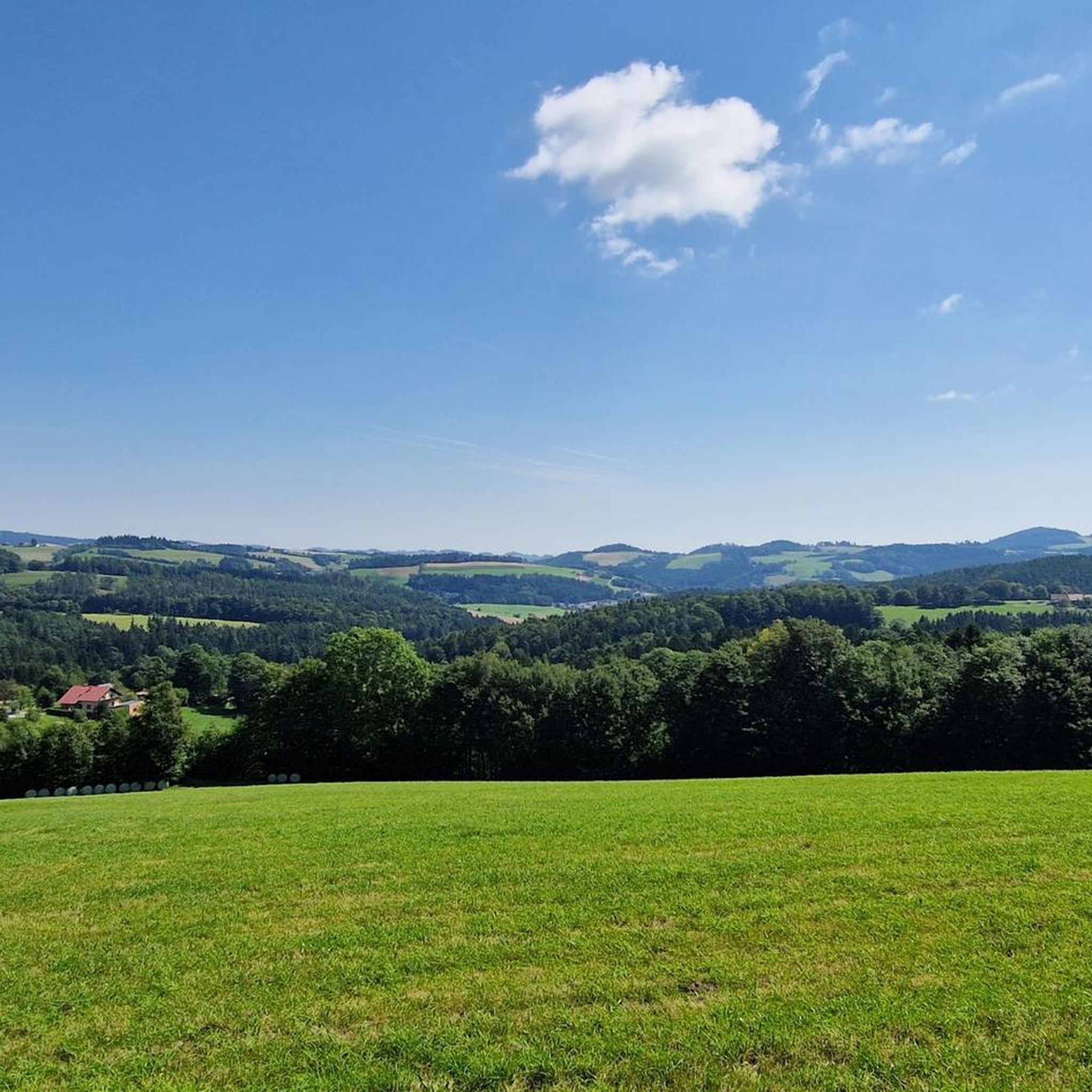
Best mountain peaks around Schäffern are found in a municipality nestled in the Styrian Wechselland region of Austria, characterized by its densely wooded, hilly landscape. Schäffern serves as a base for exploring prominent peaks in the surrounding area, which are often highlighted in hiking routes accessible from the municipality. The region offers opportunities for peaceful hikes through forests and appreciation of local flora and fauna. These peaks contribute to the appeal of Schäffern for those seeking mountain experiences.
Best mountain…
Last updated: August 30, 2026
Hutwisch Observation Tower
Highlight • Viewpoint
Translated by Google •
Tip by

Herrgottschnitzerhütte
Highlight • Mountain Hut
Translated by Google •
Tip by

Sign up now to discover places like this
Get recommendations on the best single tracks, peaks, & plenty of other exciting outdoor places.
Sign up for free
Festenburg Summit (Niederwechsel)
Highlight • Summit
Translated by Google •
Tip by

Hilmtor (996 m) and Hilm Bar
Highlight • Structure
Translated by Google •
Tip by

Kogel Summit
Highlight • Summit
Showing Translation
Tip by

Sign up for free to discover even more peaks around Schäffern.
Sign up for free
Already have an account?
Start today with a free account
Your next adventure awaits.
Login or Signup

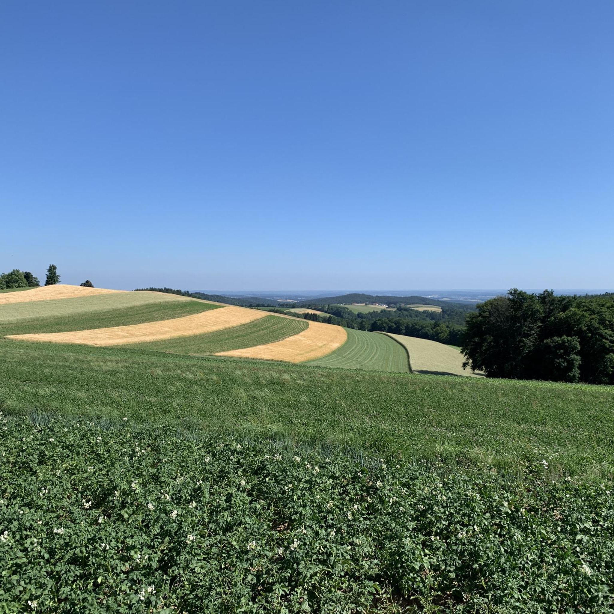
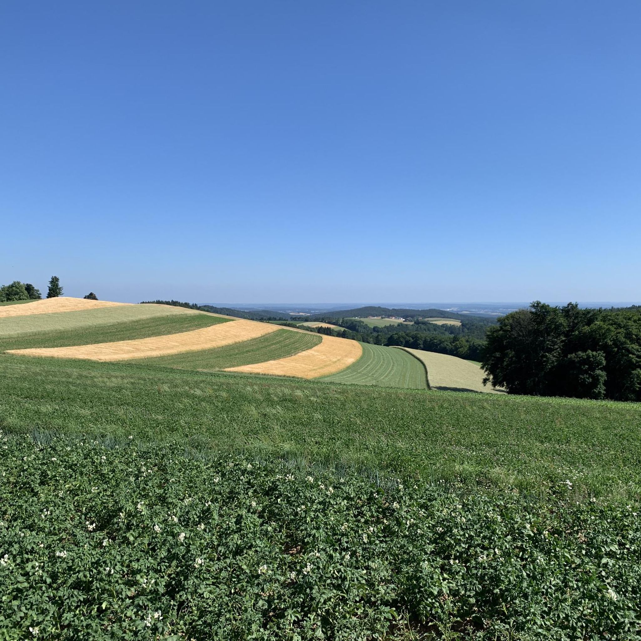
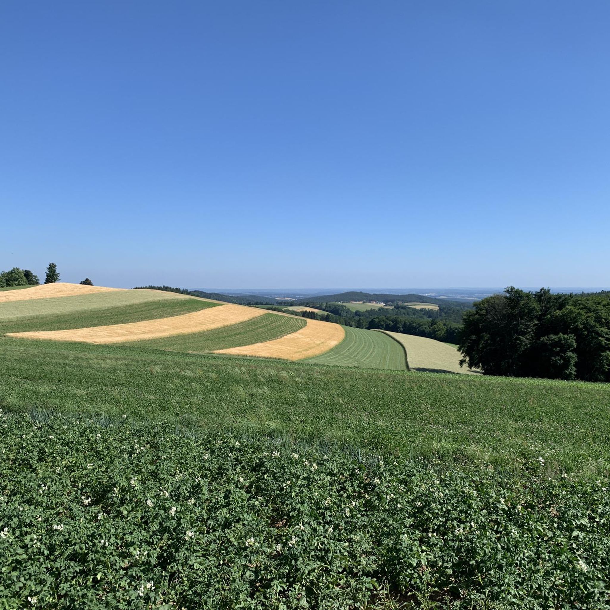
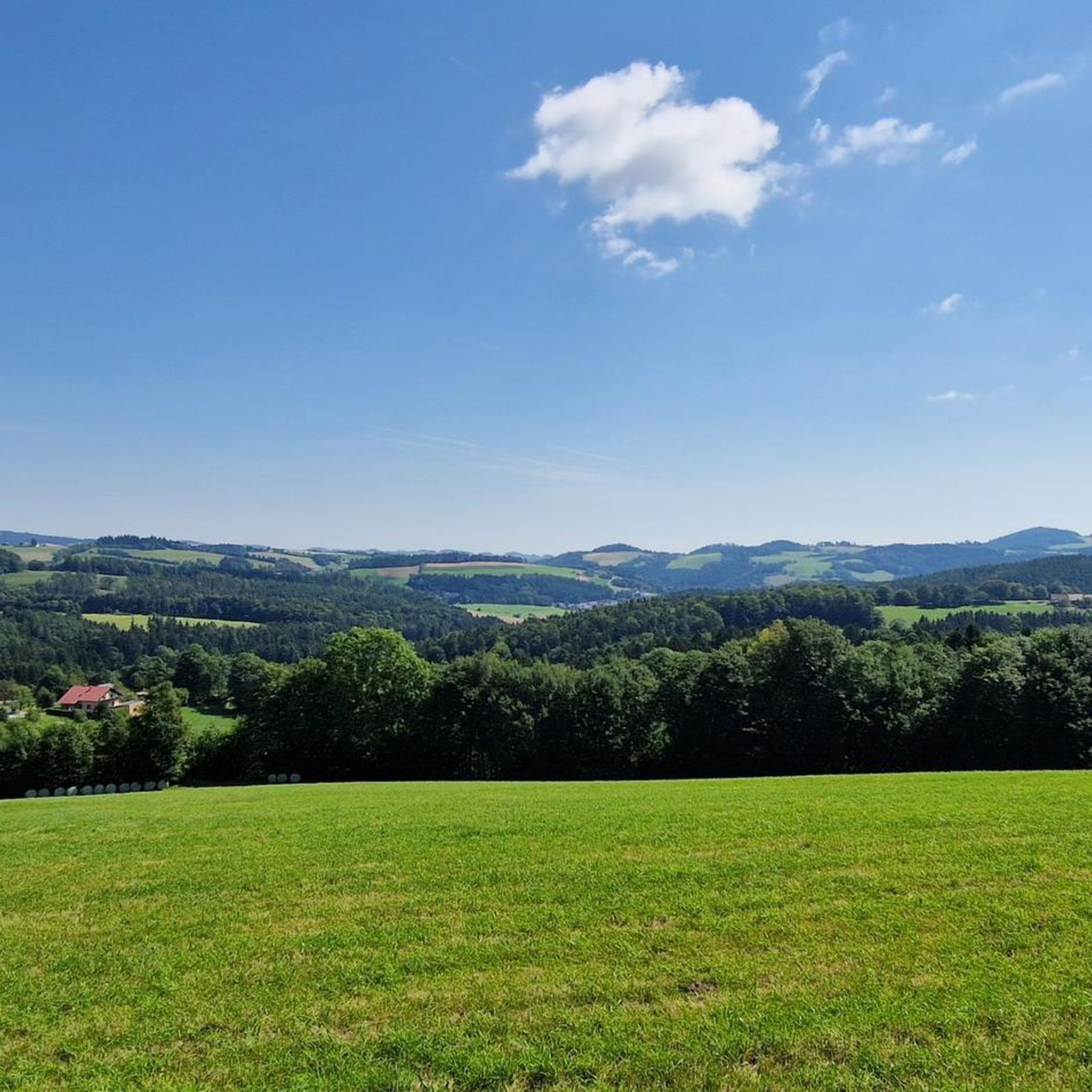
Tips from the Community

The Kogel is a wooded summit in the Wechsel area and forms a distinctive intermediate point on the further descent from the Niederwechsel towards Mönichkirchner Schwaig. Unlike the open heights of the Hoch- and Niederwechsel, the focus here is less on the view and more on the tranquil forest character. An inconspicuous, but beautiful additional summit along the route.
3
0
The Festenburg summit is located on the Niederwechsel and is a rather inconspicuous, natural point along the ridge. Instead of a distinct summit structure, forest and the gentle landscape of the Wechselland characterize this section. A quiet waypoint away from the more prominent peaks – typical for the elongated ridges of the Wechsel Mountains.
3
0

High tower, lots of steps, great view.
2
0

Inconspicuous summit with no view. The ascent from Heidstübl is partly unmarked, and only on the descent towards Mönichkirchen do red markings appear again. A little below the summit you can see the Wechselkamm ridge: Steinerne Stiege - Niederwechsel - Hochwechsel.
1
0

Starting point for mountain bike tour towards Glatzl Trahütten Alm - Vorauer Schwaig - Hochwechsel
1
0

Parking available free of charge. Thank you for this opportunity. Please don't park selfishly so that others can also find space!
0
0

Here you can stop off in a really nice and rustic way and strengthen yourself for the next trails.
1
0

Great view in all directions at a little over 900 m above sea level (incl. observation tower ;-) ...). Right next to the Kernstockwarte is the Hutwischhütte, where there is also a vending machine.
2
0
Frequently Asked Questions
What are some of the most notable mountain peaks around Schäffern?
Schäffern offers access to a variety of peaks. Within the municipality, you'll find local elevations like Hartberg (913 m) and Gemeinderiegel (744 m). For more significant experiences, consider exploring Masenberg, known for its expansive views over the Almenland, or Hochwechsel, the highest point of a section of the 07 Eastern Austrian Borderland Trail. Don't miss the Hutwisch Observation Tower, which provides panoramic views extending to Hungary and the Steiner Alps.
Which mountain peaks offer the best views near Schäffern?
For breathtaking vistas, the Hutwisch Observation Tower is highly recommended. Standing 22 meters high, it offers magnificent panoramic views of the Schneeberg and Neusiedlersee, and on clear days, you can see as far as Hungary and the distant flanks of the Steiner Alps in Slovenia. The Festenburg Summit (Niederwechsel) also provides wonderful views towards Rax and Schneeberg.
Are there family-friendly mountain peaks or trails near Schäffern?
While specific peaks aren't always categorized as 'family-friendly,' the general landscape of Schäffern offers peaceful hikes through forests suitable for families. For dedicated family-friendly options, consider the Herrgottschnitzerhütte, which is noted as family-friendly and offers a welcoming atmosphere. Additionally, the nearby guide for Easy hikes around Schäffern features routes like the 'Forest Adventure Trail loop' which are ideal for families.
What are some challenging mountain peaks or advanced hiking routes near Schäffern?
For more demanding experiences, the ascent to Masenberg is considered challenging, rewarding hikers with expansive views. Hochwechsel also involves overcoming over 1,000 meters of elevation, indicating a strenuous and rewarding hike. These peaks are part of the broader Wechselland region and offer significant vistas for experienced hikers.
What kind of outdoor activities can I do near the mountain peaks around Schäffern?
Beyond hiking, the region around Schäffern is excellent for various outdoor activities. You can find numerous routes for mountain biking, such as those listed in the MTB Trails around Schäffern guide, or enjoy touring bicycle routes detailed in the Cycling around Schäffern guide. The area's diverse landscape supports everything from gentle walks to more strenuous alpine excursions.
Are there any quiet or less crowded mountain spots near Schäffern?
If you're looking for a tranquil spot, the Sun Terrace Summit Cross offers a quiet rest area with a meadow, a simple bench, and a summit cross surrounded by forest. Local elevations like Hartberg and Gemeinderiegel within the Schäffern municipality also provide opportunities for peaceful hikes through forests, likely with fewer crowds than more prominent peaks.
What is the best time to hike the mountains around Schäffern?
Schäffern's densely wooded, hilly landscape offers a tranquil retreat for nature enthusiasts throughout much of the year. While specific peak conditions vary, spring and autumn generally provide pleasant temperatures and beautiful scenery for hiking. Summer is also popular, though some trails might be busier. Winter hiking is possible, especially on lower elevations, but requires appropriate gear and caution.
Are there places to eat or rest near the mountain trails?
Yes, you can find places to stop and refresh. The Herrgottschnitzerhütte on Kampstein is a notable hut where you can stop off in a really nice and rustic way and strengthen yourself. It's one of the eastern refuge huts in the Alpine arc. Remember to check opening times, as some huts might have specific closing days.
What natural features can I expect to see on the mountain peaks around Schäffern?
The region is characterized by a densely wooded, hilly landscape, offering opportunities to appreciate local flora and fauna. You'll encounter extensive forests, meadows, and diverse natural settings. From higher vantage points like the Hutwisch Observation Tower, you can witness vast panoramic views of distant mountain ranges and the surrounding countryside.
Where can I find parking for hiking trails to mountain peaks near Schäffern?
While specific parking details for every trailhead are not always available, the Hilmtor (996 m) and Hilm Bar highlight mentions that parking is available free of charge, serving as a starting point for various tours. It's advisable to check specific route descriptions for parking information when planning your hike.
What do visitors enjoy most about the mountain peaks around Schäffern?
Visitors particularly appreciate the magnificent panoramic views from spots like the Hutwisch Observation Tower and the beautiful alpine landscape around Festenburg Summit (Niederwechsel). The opportunity for peaceful hikes through forests and the chance to relax in quiet natural settings are also highly valued. The komoot community has contributed 283 upvotes and 266 photos, reflecting a strong appreciation for the area's natural beauty and hiking opportunities.
Most popular attractions around Schäffern

Get inspired with the komoot mobile app


Explore more
See even more amazing summits around Schäffern with these guides:
