Top 20 Mountain Passes around Hinterhornbach
Mountain passes around Hinterhornbach are located in the Tyrolean Lechtal, providing access to the Hornbach chain and the Allgäu Alps. The region features elevated routes and points that serve as passes for hikers, offering access to higher terrain. These routes are characterized by their natural beauty and provide opportunities for challenging hikes. The area's unspoiled nature allows for observation of local wildlife.
Best mountain passes around Hinterhornbach
- The most popular mountain passes is Mädelejoch Pass (Bavaria–Tyrol border), a mountain…
Last updated: July 10, 2026
Mädelejoch Pass (Bavaria–Tyrol border)
Highlight • Mountain Pass
The Mädelejoch is at 1,973 m. The ascent from the Kemptener Hütte took about 30 minutes.
Better weather next time please. 👍🏼
Translated by Google •
Tip by

View of the Allgäu Mountains
Highlight • Viewpoint
Translated by Google •
Tip by

Sign up now to discover places like this
Get recommendations on the best single tracks, peaks, & plenty of other exciting outdoor places.
Sign up for free
Himmeleck Saddle
Highlight • Mountain Pass
Translated by Google •
Tip by

Namlos Saddle (Namloser Sattel)
Highlight (Segment) • Mountain Pass
Translated by Google •
Tip by

View of Vilsalpsee from Hintere Schafwanne
Highlight • Viewpoint
Translated by Google •
Tip by

Sign up for free to discover even more mountain passes around Hinterhornbach.
Sign up for free
Already have an account?
Start today with a free account
Your next adventure awaits.
Login or Signup
Popular around Hinterhornbach

Ibex Tour extended – Crossing the Allgäu Alps
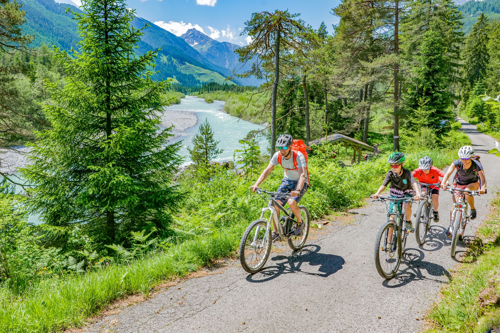
Cycling in the Tyrolean Lech Valley – 10 varied routes along the wild Lech river

Hiking without borders – mountainous Tours in Germany and Austria
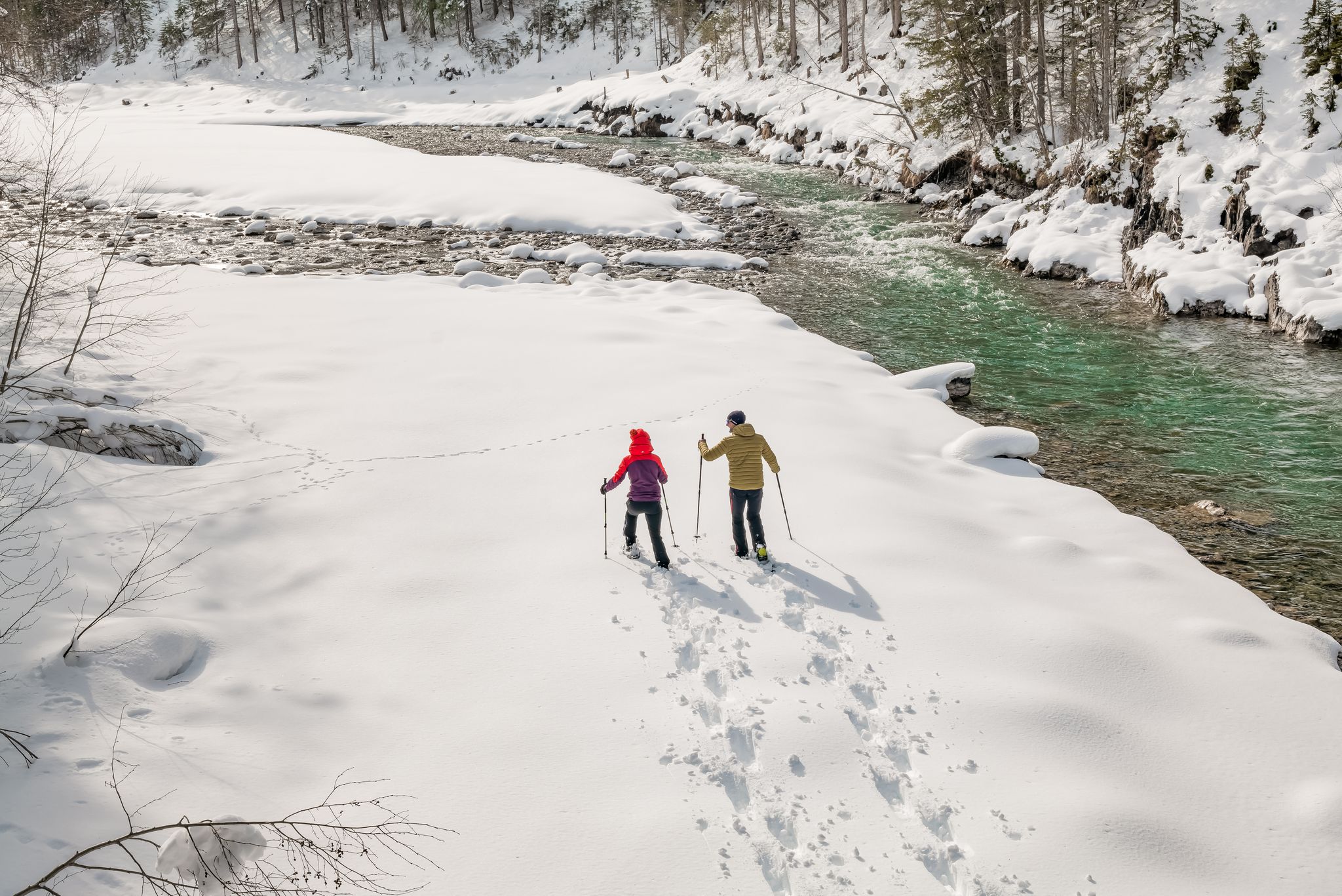
Winter hiking along the last wild river landscape in Europe – Tyrolean Lech Valley
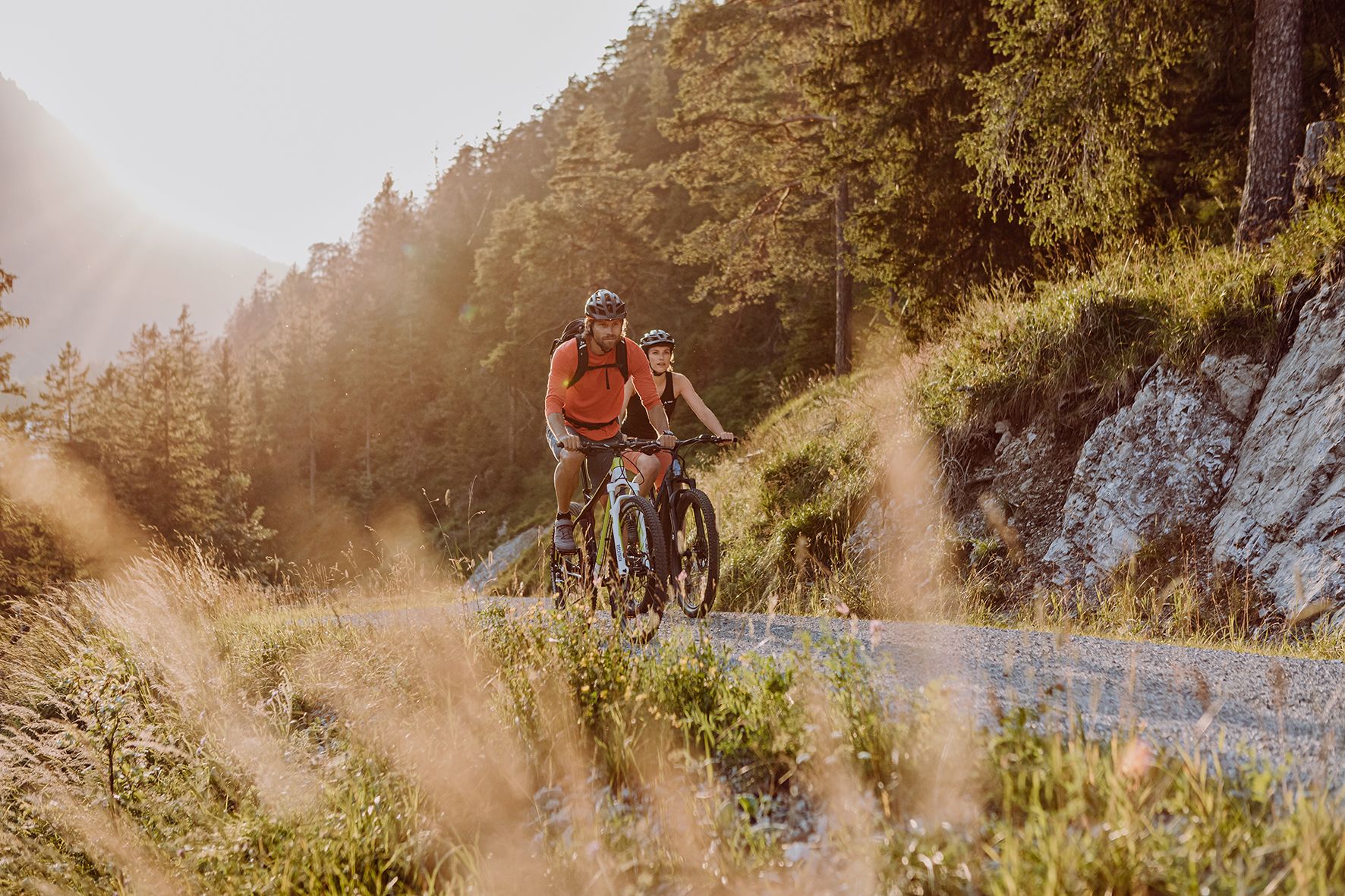
Alpine panorama and mountain huts – nature biking in Germany’s Allgäu
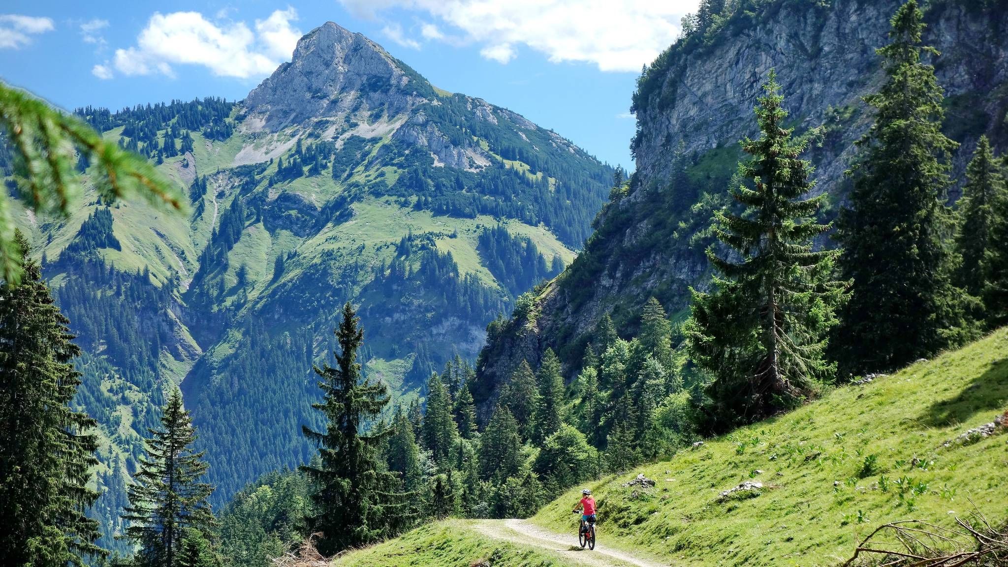
MTB fun around Austria’s Tannheim Valley
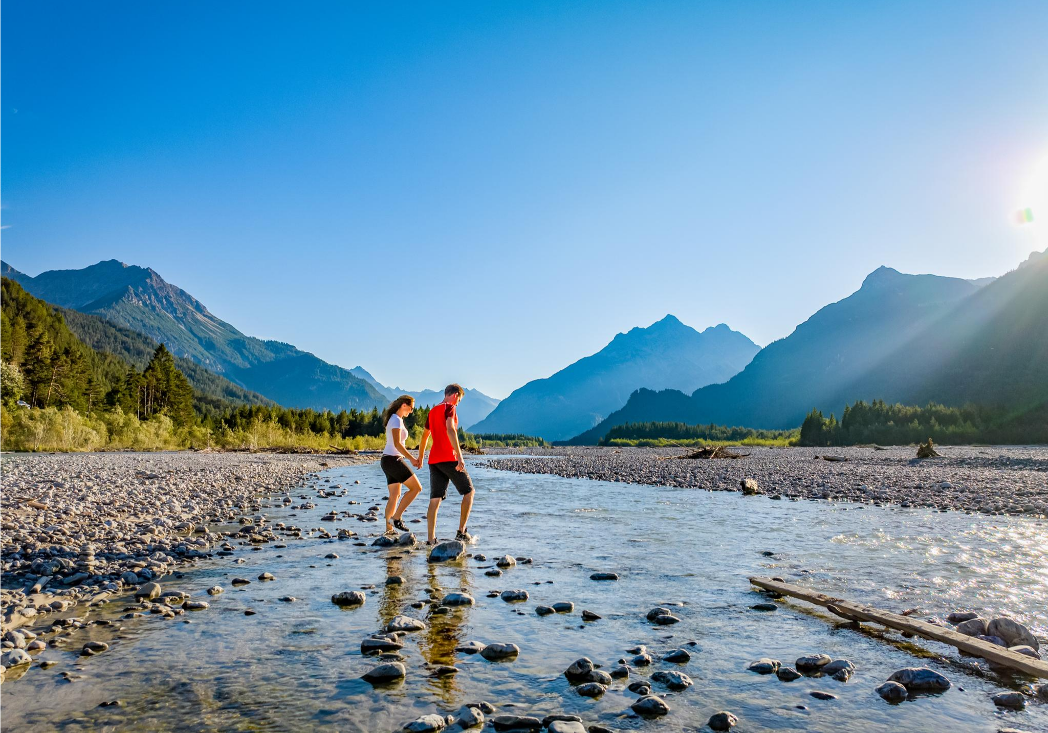
A river that runs wild – hiking in Austria’s Lechtal Valley
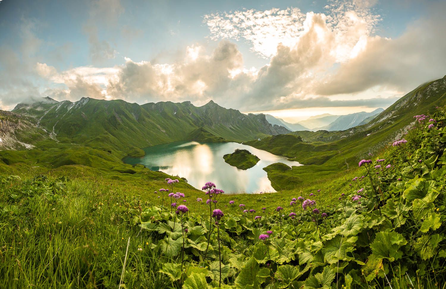
Grenzgänger – 6 Days Long Distance Hiking in Tannheimer Tal
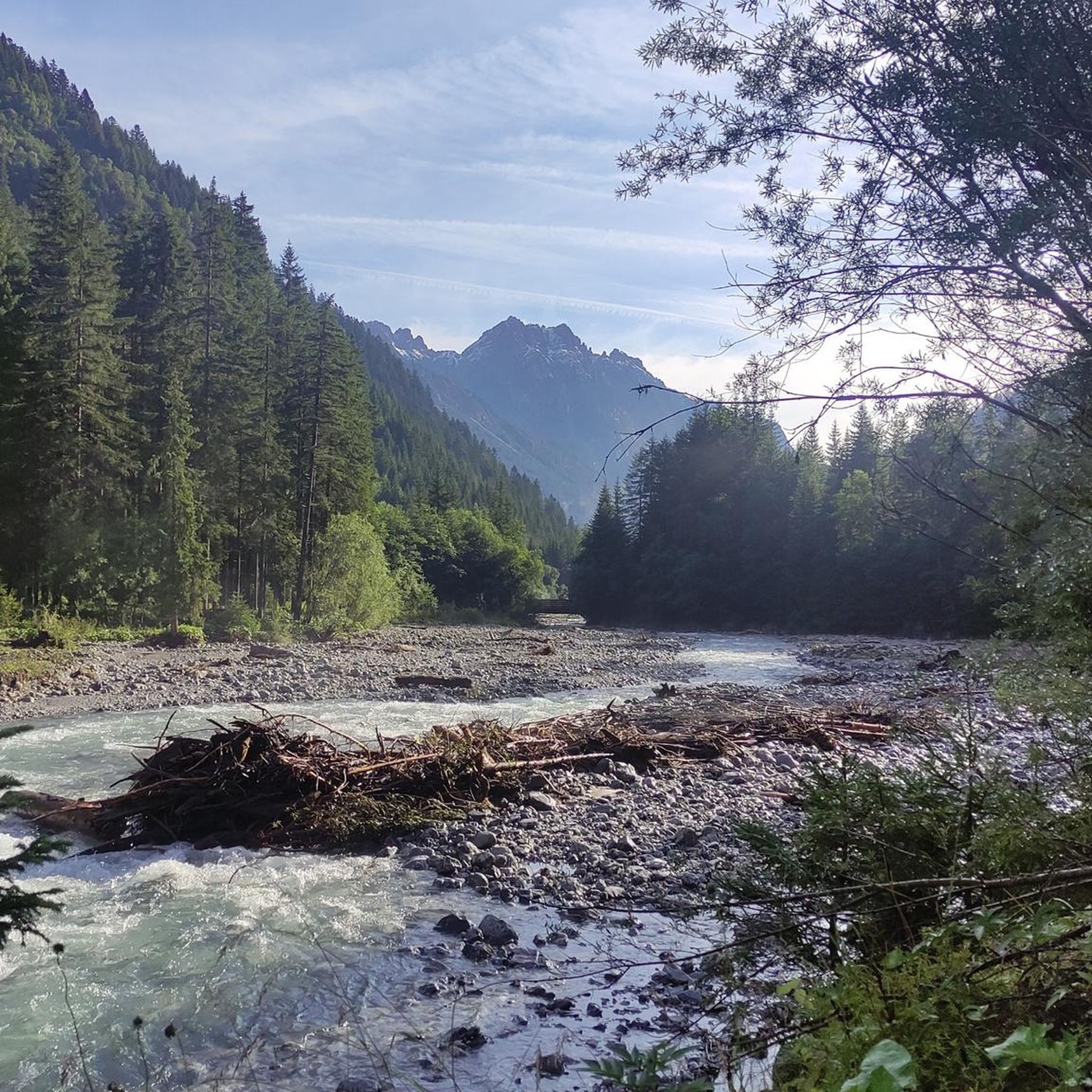
MTB Trails around Hinterhornbach
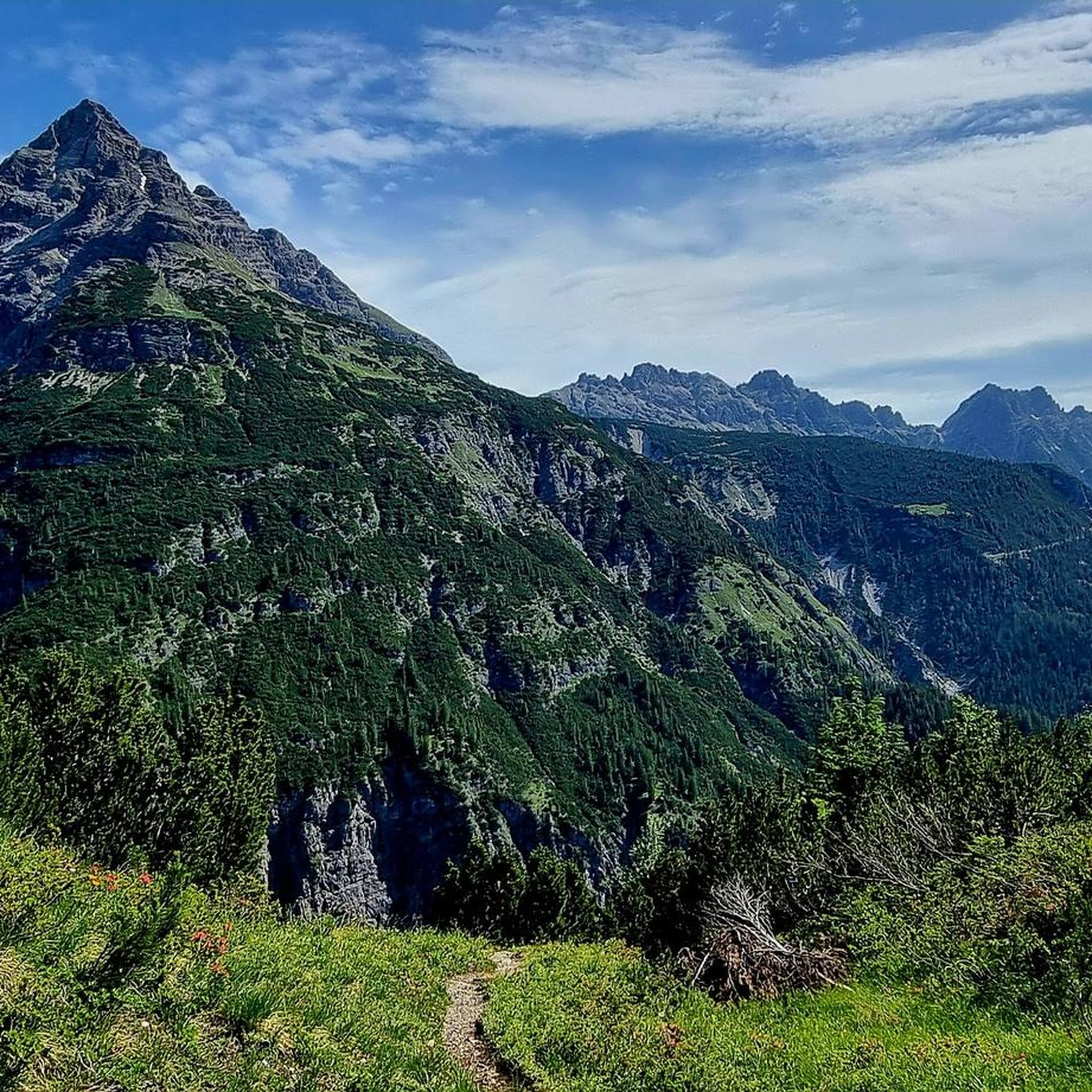
Cycling around Hinterhornbach
Other adventures around Hinterhornbach


Tips from the Community

Each season lends the mountains its own charm – blooming alpine meadows in summer, colorful forests in autumn and snow-covered peaks in winter ❄️🍂🌸
0
0

Crossing the Himmelecksattel is the reward for the long climb and at the same time the highest elevation of the tour.
0
0

To reach the Schneck, you have to turn onto a small meadow path. It takes about 15 minutes to reach the Himmeleck, and about 30 minutes to reach the summit of the Schneck.
0
0

Fantastic view
0
0

Here you can unwind and unwind!
4
0
Here's something else from the web: https://www.oberstdorf.de/alpininfo/tourensuche/tagestouren/am-laufbacher-eck.html
1
0

Fantastic views of the Höfats, among other things
1
1

Just awesome.... The mountains are so beautiful here
3
0
Frequently Asked Questions
What kind of mountain passes can I expect around Hinterhornbach?
Hinterhornbach, located in the Tyrolean Lechtal, offers elevated routes and points that serve as passes primarily for hikers. These are characterized by their natural beauty and provide access to the Hornbach chain and the Allgäu Alps, offering opportunities for challenging hikes and breathtaking panoramic vistas.
Are there any particularly challenging mountain passes in the area?
Yes, for experienced hikers, the Niederecksattel is a very demanding high alpine passage, partly unsecured, requiring sturdy shoes and a head for heights. Another challenging option is the route to the Kaltwinkelscharte ridge at 2,283 meters, which can be accessed from a trail towards the east spur of the Hochvogel mountain.
Which mountain passes offer the best views?
Many passes offer stunning views. The View of Vilsalpsee from Hintere Schafwanne provides a challenging ascent rewarded with a 360-degree panoramic view. The Kanzberg, part of the Hinterhornbach - Kanzberg - Jochbach hike, also offers great views from its beautifully laid out mountain path.
What are some popular hiking routes that include mountain passes near Hinterhornbach?
A popular route is the Hinterhornbach - Kanzberg - Jochbach hike, an 11 km circuit with a significant uphill altitude of 1071 meters, typically taking around 7 hours. Another well-regarded pass is the Mädelejoch Pass (Bavaria–Tyrol border), which is at 1,973 meters and offers views after an ascent from the Kemptener Hütte.
Are there any mountain passes suitable for intermediate hikers?
Absolutely. The Himmeleck Saddle is an intermediate mountain pass offering an easy transition between valleys with views of the Höfats. The Namlos Saddle (Namloser Sattel) is another intermediate option, known for its very nice climb in a stunning setting, not too steep, allowing you to enjoy the surroundings.
Can I find food and refreshments near the mountain passes?
Yes, the Petersbergalm is a popular destination accessible via a moderate 5-kilometer route. While not a high mountain pass itself, it serves as an accessible elevated point and is known for its homemade cheese, Kaminwurzen, fresh milk, and traditional Alpine cuisine, making it a rewarding stop for summer guests.
What kind of wildlife can I expect to see on the mountain trails?
The unspoiled nature of the area around Hinterhornbach provides a chance to observe local wildlife such as chamois and ibex, especially on the higher mountain trails and passes.
What other outdoor activities can I do near the mountain passes around Hinterhornbach?
Beyond hiking, the region offers various activities. You can explore gravel biking routes like the Lechtal loop or the Lechzopf Tour. There are also numerous MTB trails, including an easy route to the Petersbergalm. For runners, running trails like the Klimmbrücke Pedestrian Bridge loop are available.
What do visitors particularly enjoy about the mountain passes in Hinterhornbach?
Visitors appreciate the challenging nature of the trails, the breathtaking panoramic views from summits and viewpoints, and the opportunity to experience unspoiled nature. Many highlight the sense of accomplishment after an ascent and the beauty of the surrounding mountains and valleys.
Are there any less-known or 'hidden gem' mountain passes worth exploring?
While not a traditional pass, the Kanzberg, reached via a 'beautifully laid out mountain path' as part of the Hinterhornbach - Kanzberg - Jochbach hike, offers great views and a rewarding ascent that might be less frequented than some of the more prominent highlights.
What is the best time of year to visit the mountain passes around Hinterhornbach?
The region is particularly appealing for summer guests, as many elevated points like the Petersbergalm are open and accessible. The warmer months generally offer the best conditions for hiking and enjoying the high-altitude routes.
How long do typical mountain pass hikes take in this region?
Hike durations vary significantly based on the route and your fitness level. For example, the Hinterhornbach - Kanzberg - Jochbach circuit is an 11 km hike with over 1000 meters of ascent, typically taking around 7 hours. Shorter, more moderate climbs to places like the Petersbergalm can be completed in a few hours.
Most popular routes around Hinterhornbach
Most popular attractions around Hinterhornbach

Get inspired with the komoot mobile app


Explore more
See even more epic mountain passes by checking out these guides around Hinterhornbach:
