The 20 Most Amazing Peaks around Pfafflar
Mountain peaks around Pfafflar offer access to the majestic Lechtal Alps, providing diverse experiences for outdoor enthusiasts. This charming village in Tyrol serves as a gateway to several impressive summits. The region is characterized by its natural landscape, featuring panoramic viewpoints and varied hiking terrain. Visitors can explore a range of mountain environments, from accessible routes to more challenging climbs.
Best mountain peaks around Pfafflar
- The most popular mountain peak is Galtjoch Summit Cross, a summit that offers expansive…
Last updated: July 6, 2026
Galtjoch Summit Cross
Highlight • Summit
In comparison, the evening peak does not offer such a beautiful 360 degree view. …
Translated by Google •
Tip by

Namloser Wetterspitze (2,533 m)
Highlight • Summit
Translated by Google •
Tip by

Sign up now to discover places like this
Get recommendations on the best single tracks, peaks, & plenty of other exciting outdoor places.
Sign up for free
Imster Muttekopf Summit
Highlight • Summit
Translated by Google •
Tip by

Imst Alpine Coaster
Highlight • Structure
In Hoch Imst directly …
Translated by Google •
Tip by

Fallerschein Alpine Village
Highlight • Settlement
Translated by Google •
Tip by

Sign up for free to discover even more peaks around Pfafflar.
Sign up for free
Already have an account?
Start today with a free account
Your next adventure awaits.
Login or Signup
Popular around Pfafflar
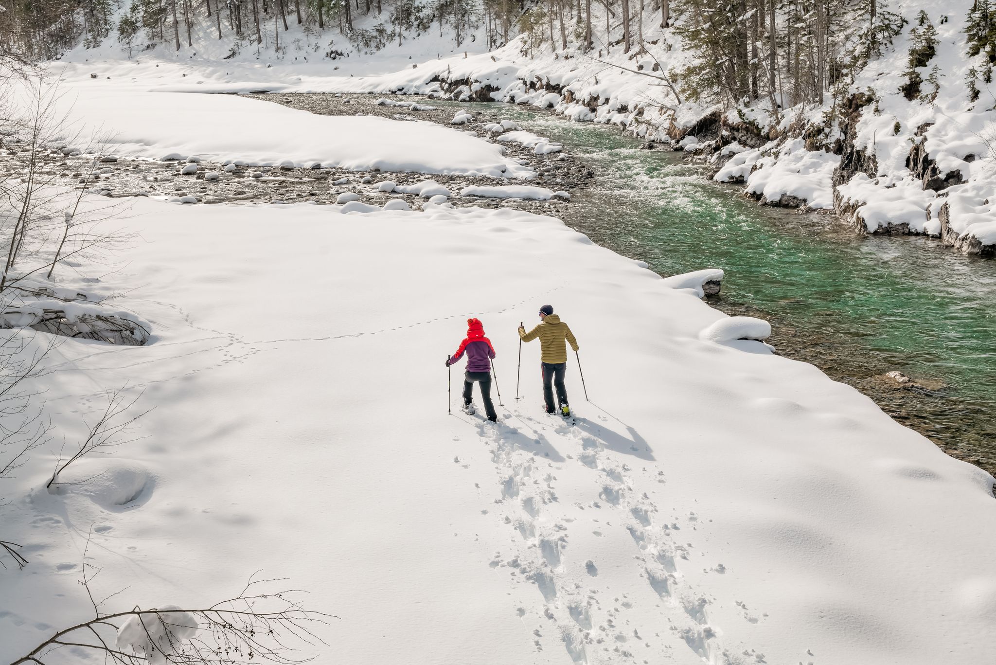
Winter hiking along the last wild river landscape in Europe – Tyrolean Lech Valley
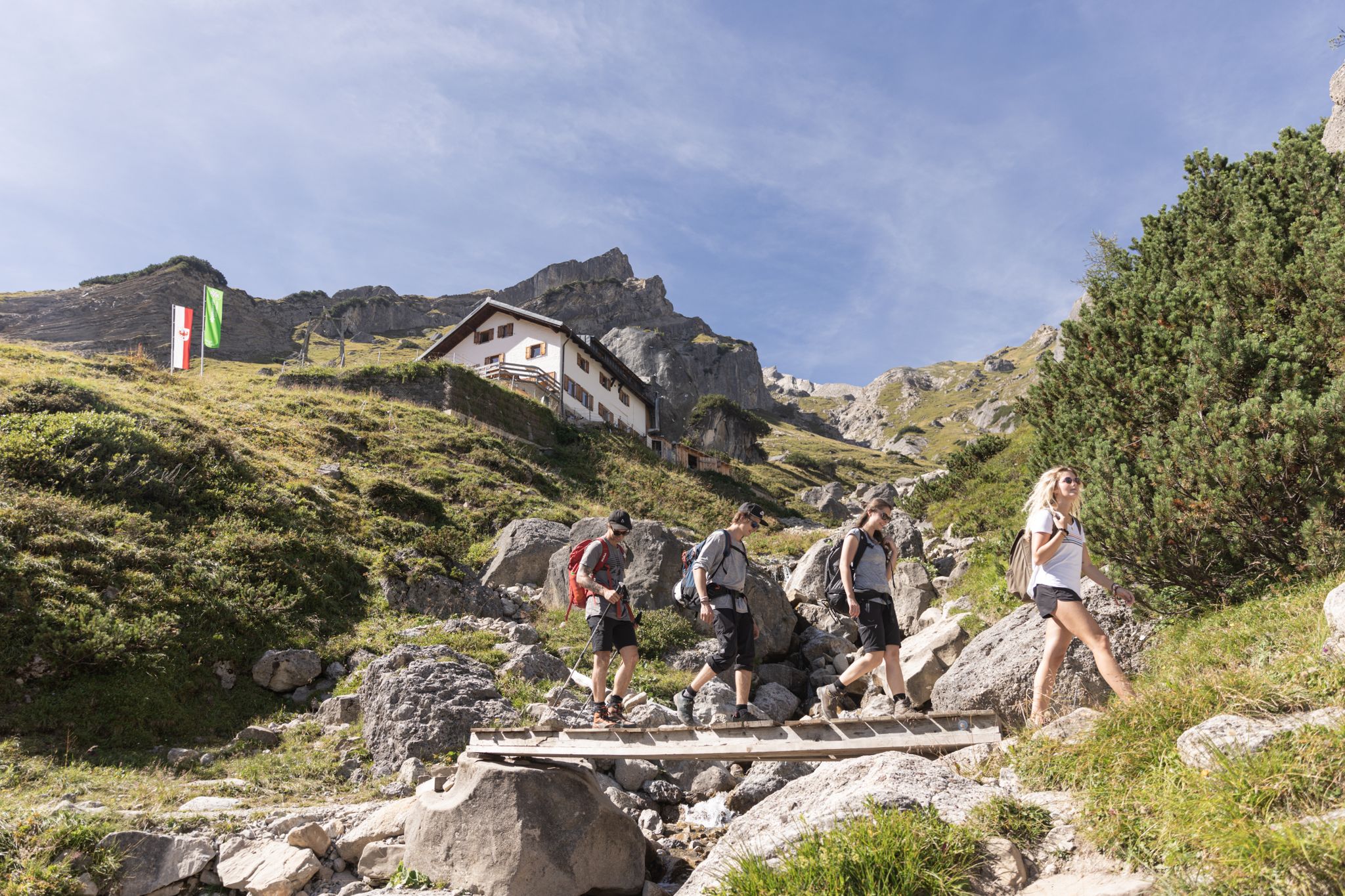
Eight enjoyable hut Tours in Austria’s Imst outdoor region
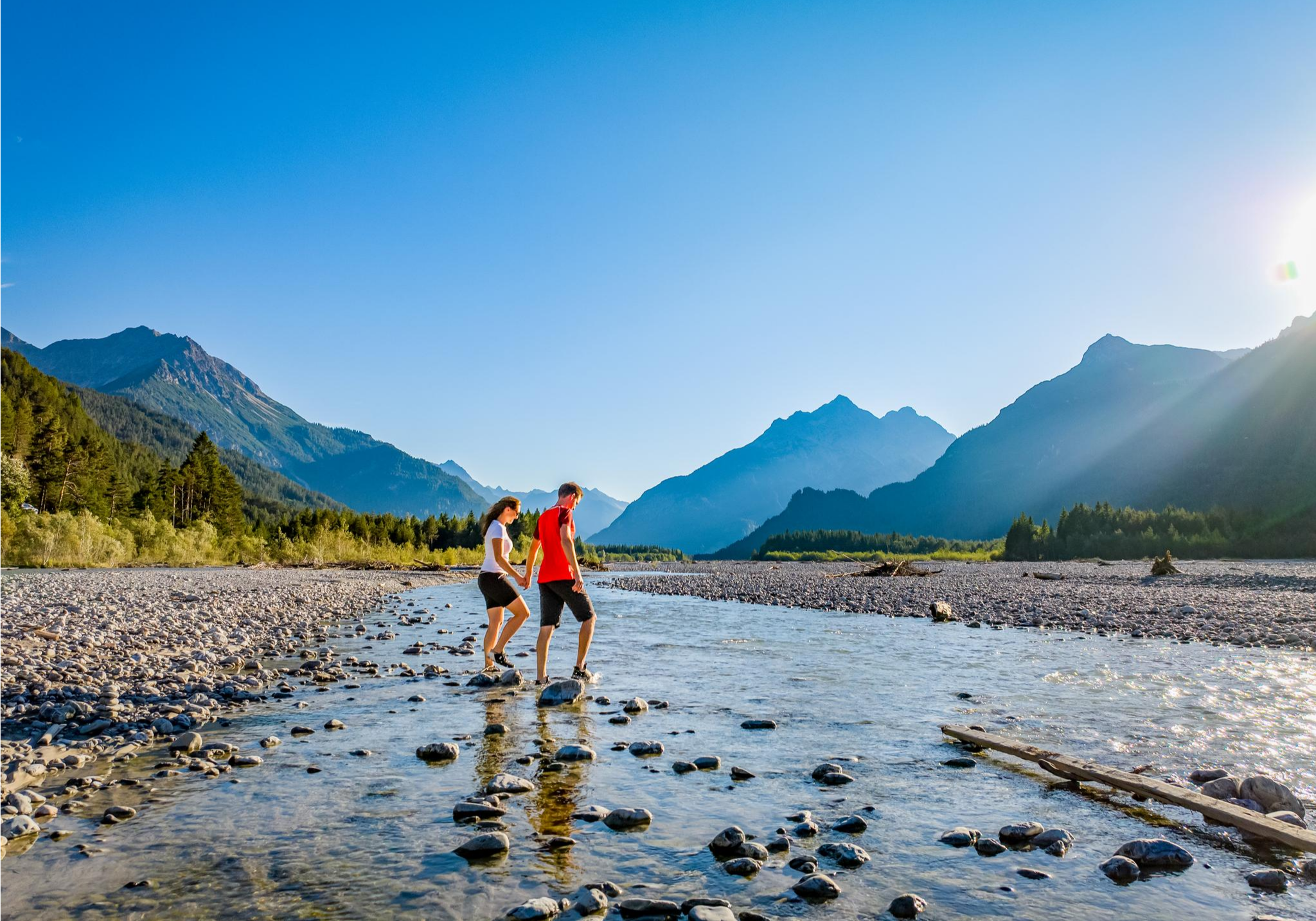
A river that runs wild – hiking in Austria’s Lechtal Valley
Cycling around Pfafflar
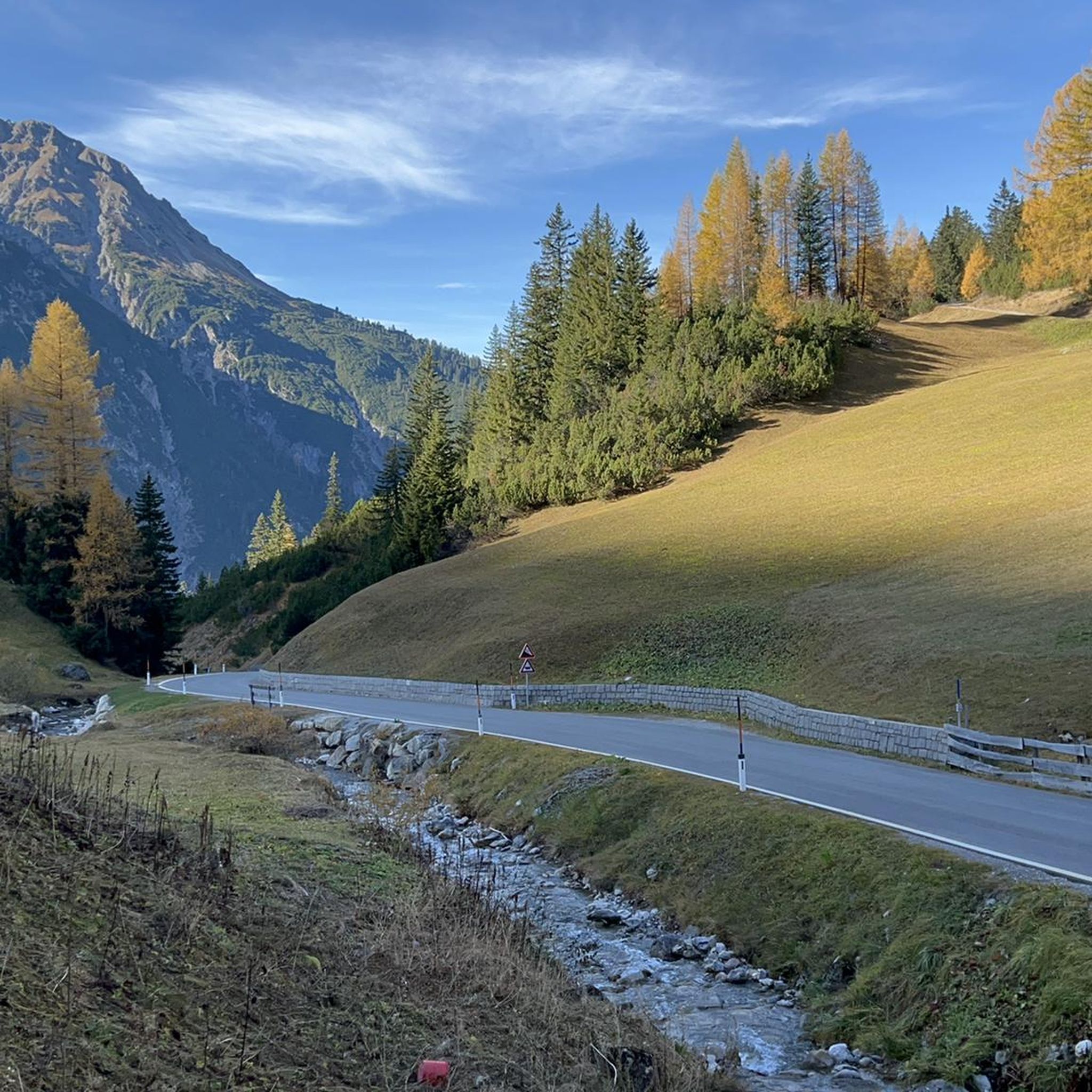
Hiking around Pfafflar
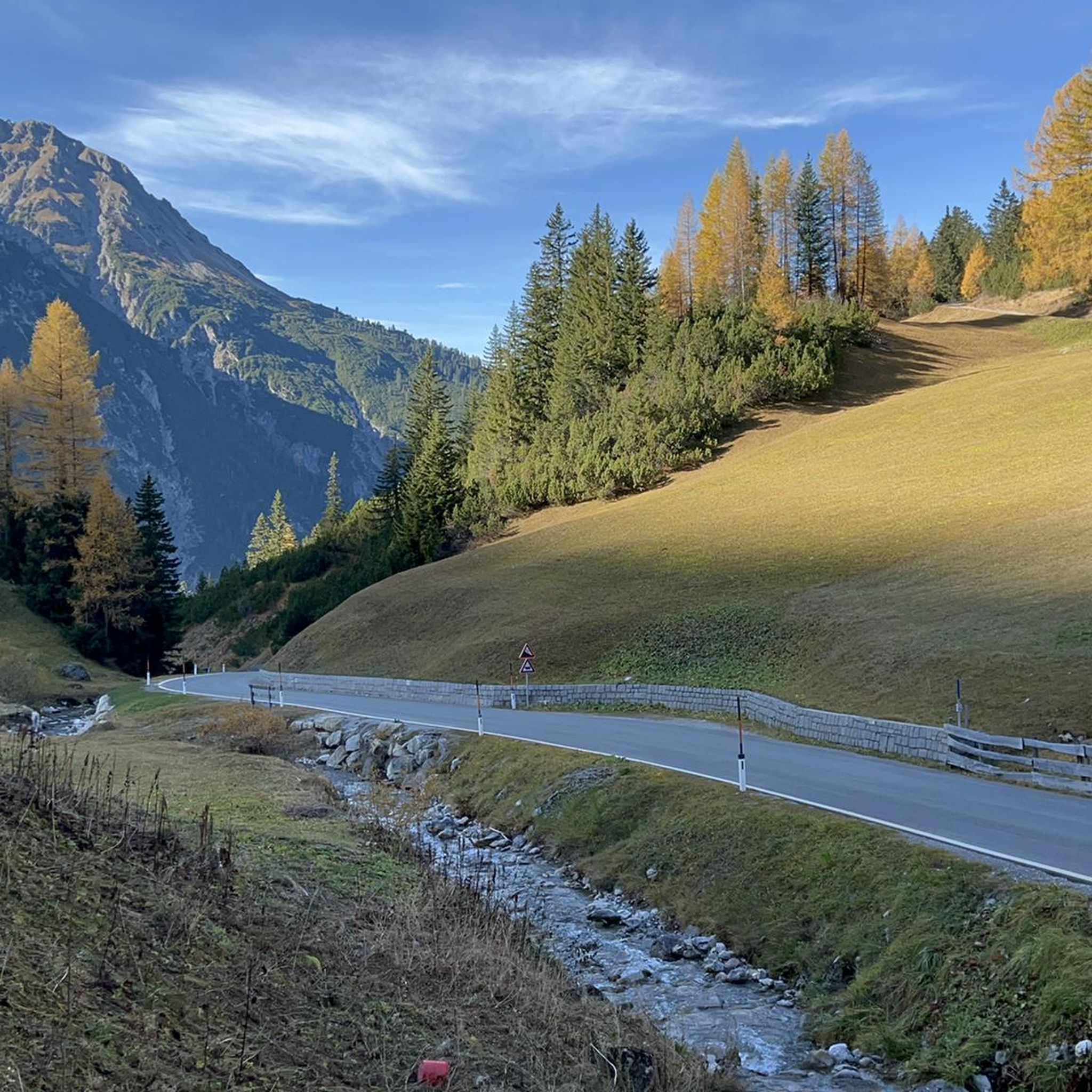
Road Cycling Routes around Pfafflar
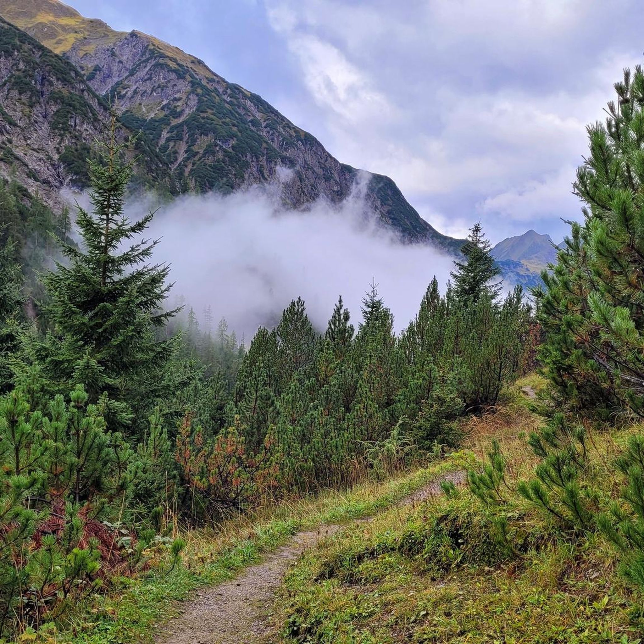
MTB Trails around Pfafflar
Gravel biking around Pfafflar
Mountain Hikes around Pfafflar
Running Trails around Pfafflar
Other adventures around Pfafflar


Tips from the Community

Great destination for a ski tour
0
0

Excellent panoramic view up to the Zugspitze
0
0

A super-beautiful, rustic alpine village and easy to reach. Another insider tip in Tyrol, I think.🇦🇹
0
0

You simply have to see it. An alpine village that is second to none. You feel like you have gone back in time.
1
0
A highlight of our holiday this year. All alone, we were able to enjoy the 360° panoramic view from the summit cross. The climb is strenuous, but goes over an alpine meadow with 1200 types of alpine flowers. It's wonderfully peaceful here 🙏
3
1

Great panoramic view from the summit. Definitely do it when the weather is good.
2
0

Idyllically located alpine village with 40 huts, two of which are managed. On the road from Stanzach to Namlos you can park on the edge and walk along a beautiful path to the Almdorf.
1
0

Very nice alpine village, a detour is definitely worth it. There are also places to stop for refreshments. We were up here on the gravel bikes. The climb from the main road is never really steep.
0
0
Frequently Asked Questions
Which mountain peaks around Pfafflar offer the most expansive panoramic views?
For breathtaking panoramic views, the Galtjoch Summit Cross is highly recommended, with visitors praising its 360-degree vista. The Namloser Wetterspitze (2,533 m) also provides a stunning 360-degree panorama encompassing the Lechtal, Ötztal, and Stubai Alps, as well as the Wettersteingebirge and Mieminger Kette.
Are there any family-friendly mountain experiences near Pfafflar?
While many peaks require good physical condition, the Imst Alpine Coaster offers a fun, family-friendly activity. You can take a gondola up and then enjoy a thrilling ride down on the longest Alpine roller coaster in Tyrol. The nearby Fallerschein Alpine Village is also a very idyllic and family-friendly spot to visit, with two managed huts offering refreshments.
What is the best time of year to hike the mountain peaks around Pfafflar?
The summer months are generally ideal for hiking the peaks around Pfafflar, as routes like the Namloser Wetterspitze (2,533 m) can be reached without major technical difficulties during this season. Starting early in the morning is often advised to make the most of the day and avoid afternoon heat.
Which mountain peaks offer a more challenging climbing experience?
The Reichspitze, located in the Parzinn area, offers a more adventurous summit approach. Its final section involves short climbing passages (UIAA 2) secured by wire ropes, requiring absolute sure-footedness, freedom from vertigo, and some climbing skills. The Imster Muttekopf Summit is also considered a challenging climb due to steep paths on both sides, though it is well-secured.
What unique natural features can be found on the mountain peaks in this region?
The Imster Muttekopf Summit is particularly notable for its unique geological characteristics. It features the highest and best-exposed Gosau occurrence in the Northern Limestone Alps, with a variety of Cretaceous deposits like breccias, conglomerates, and sandstones, making it a fascinating site for geology enthusiasts. The famous megabreccias of the 'Blauen Köpfe' are on its southern slope.
Are there any less crowded mountain hikes around Pfafflar for a solitary experience?
The ascent to the Reichspitze, typically leading through the secluded Fundaistal valley, is known for offering a quiet and solitary experience. This tour is very scenic, featuring beautiful flora and fauna, and allows for an immersive, peaceful encounter with nature.
What outdoor activities can I do near the mountain peaks around Pfafflar?
Beyond peak bagging, the Pfafflar region offers diverse outdoor activities. You can explore various hiking trails, including challenging routes like 'Hölltal – Weg der Sinne' or 'Steinjöchl summit cross – Anhalter Hut loop'. For cycling enthusiasts, there are gravel biking routes such as the 'Lechtal loop gravel bike Tour' and MTB trails like the 'Lechzopf loop – nature biking in the Allgäu'. Find more details on these activities in the Hiking around Pfafflar, Gravel biking around Pfafflar, and MTB Trails around Pfafflar guides.
How long does it typically take to hike the higher peaks near Pfafflar?
Ascents to prominent peaks can vary. For instance, a round trip to the Imster Muttekopf Summit from Pfafflar through the Fundaistal typically takes approximately six hours, covering 1,215 meters in altitude. The Namloser Wetterspitze (2,533 m) from Fallerschein involves about 1100 vertical meters.
What do visitors enjoy most about the mountain peaks around Pfafflar?
Visitors consistently praise the breathtaking panoramic views from summits like the Galtjoch Summit Cross and Namloser Wetterspitze (2,533 m). The sense of peace and solitude, especially on less crowded routes, and the diverse natural beauty, including alpine flowers and unique geological formations, are also frequently highlighted.
Are there any specific considerations for hiking to the Namloser Wetterspitze?
The Namloser Wetterspitze (2,533 m) is generally classified as moderately difficult, requiring good physical condition and sure-footedness. From the Putzenjoch upwards, paths become steeper and stonier. A scenic ascent from Fallerschein through one of the largest alpine villages is a popular route. Starting early in summer is recommended, and a stop at the Sennerstüberl or Michl in Fallerschein on the way back is a popular tip.
What is the accessibility like for trailheads around Pfafflar, including parking and public transport?
While specific parking and public transport details for every trailhead are not provided, many routes, such as the ascent to the Namloser Wetterspitze, can be accessed from villages like Fallerschein, where parking is available on the edge of the road leading to the alpine village. For more detailed information on specific trailheads, it's advisable to consult local tourist information or detailed hiking maps.
Most popular routes around Pfafflar
Most popular attractions around Pfafflar

Get inspired with the komoot mobile app


Explore more
See even more amazing summits around Pfafflar with these guides:
