The 19 Most Amazing Peaks around Ohlsdorf
Best mountain peaks around Ohlsdorf offer a diverse landscape for outdoor exploration. The region of Ohlsdorf features numerous mountainous peaks, providing opportunities for various levels of activity. These natural formations contribute to the area's geography, making it a destination for those seeking elevated perspectives and trails. The terrain includes both challenging ascents and more accessible routes.
Best mountain peaks around Ohlsdorf
- The most popular mountain peaks is Katzenstein Summit, a summit that offers an ascent in the Gamsluck'n. It…
Last updated: July 7, 2026
Steineck
Highlight • Summit
Translated by Google •
Tip by

Grünberg Summit and Treetop Walk
Highlight • Summit
Translated by Google •
Tip by

Sign up now to discover places like this
Get recommendations on the best single tracks, peaks, & plenty of other exciting outdoor places.
Sign up for free
Katzenstein Summit
Highlight • Summit
Translated by Google •
Tip by

Traunstein summit cross
Highlight • Summit
Translated by Google •
Tip by

View of Lake Traunsee and the Traunstein from Hochgschirr
Highlight • Viewpoint
Translated by Google •
Tip by

Sign up for free to discover even more peaks around Ohlsdorf.
Sign up for free
Already have an account?
Start today with a free account
Your next adventure awaits.
Login or Signup

Tips from the Community

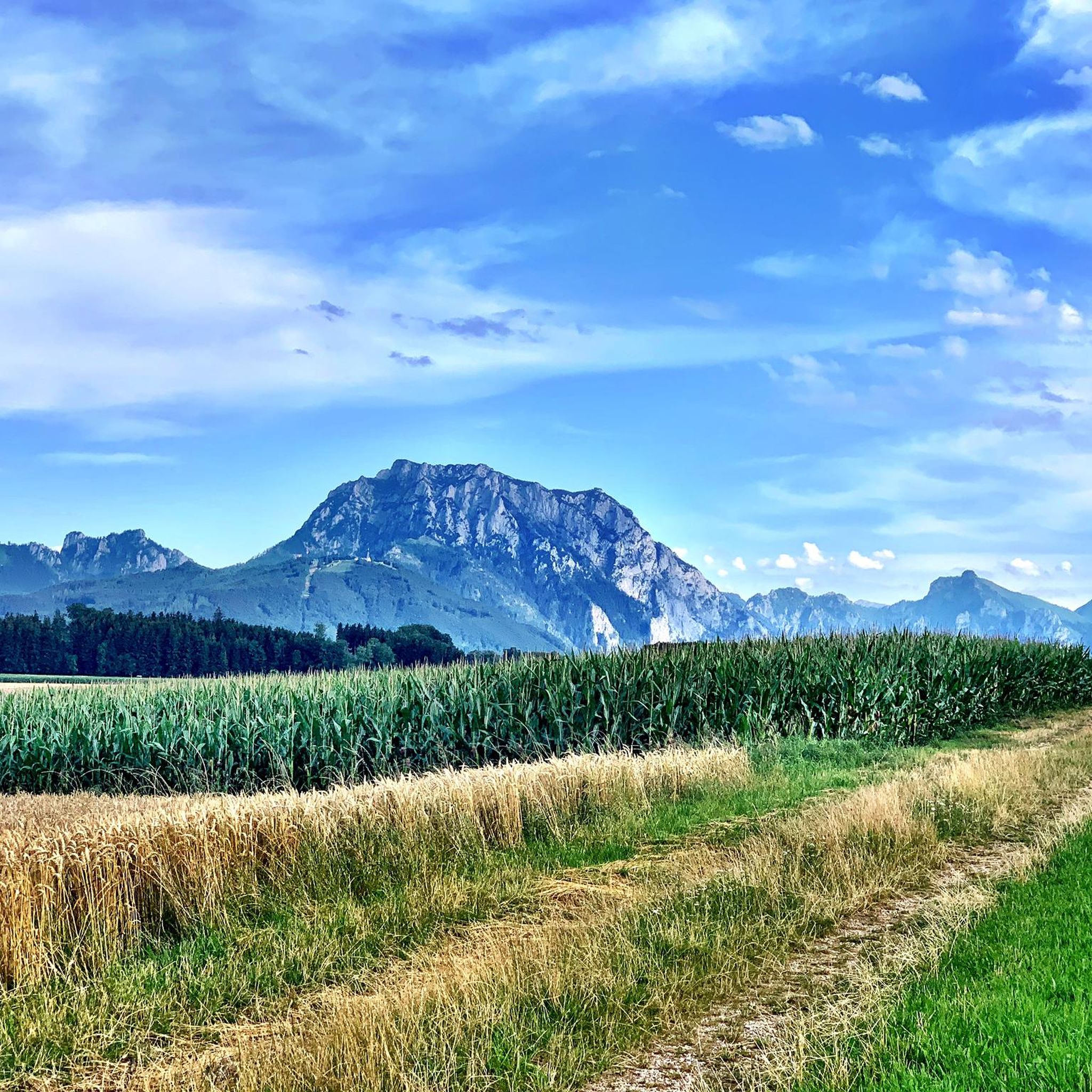
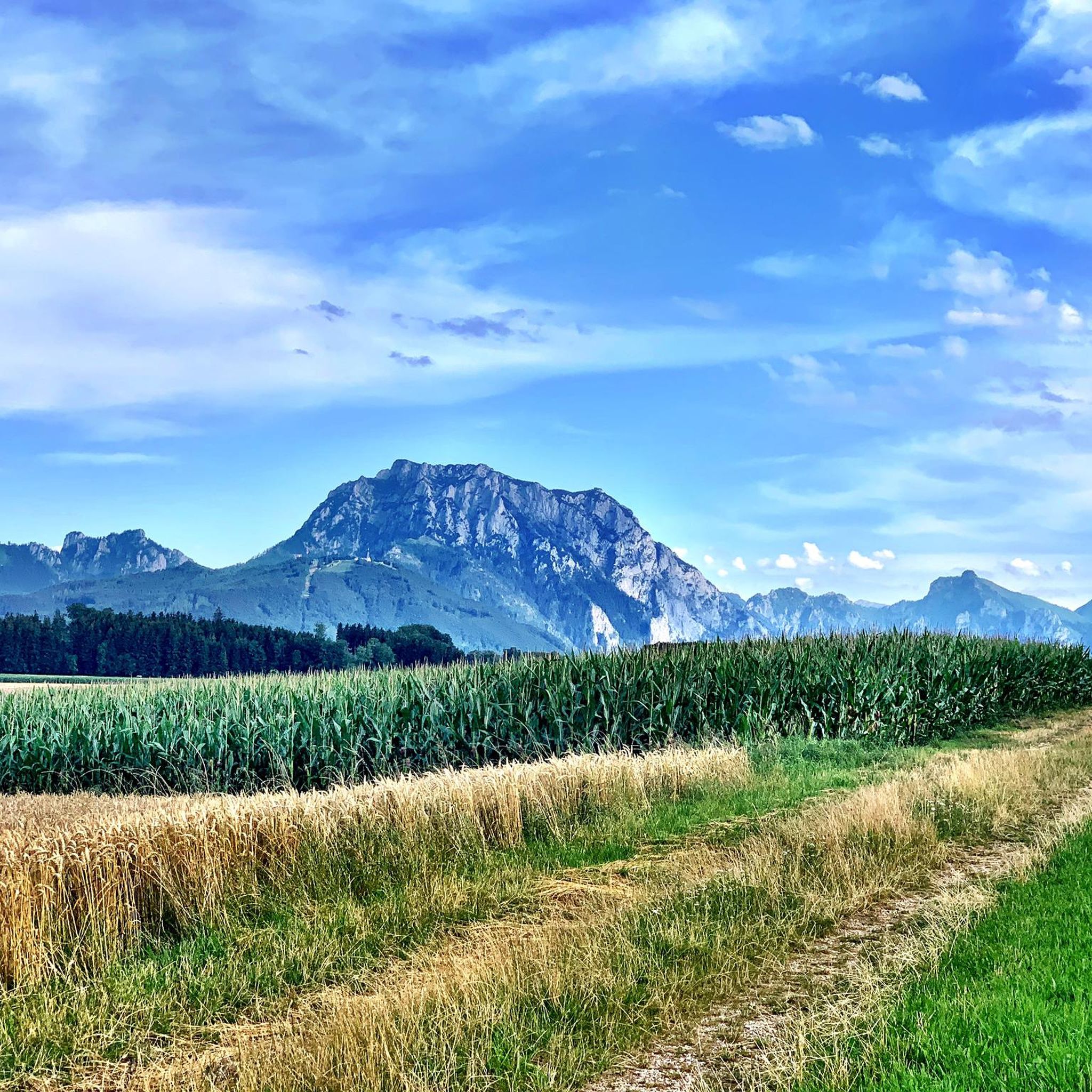
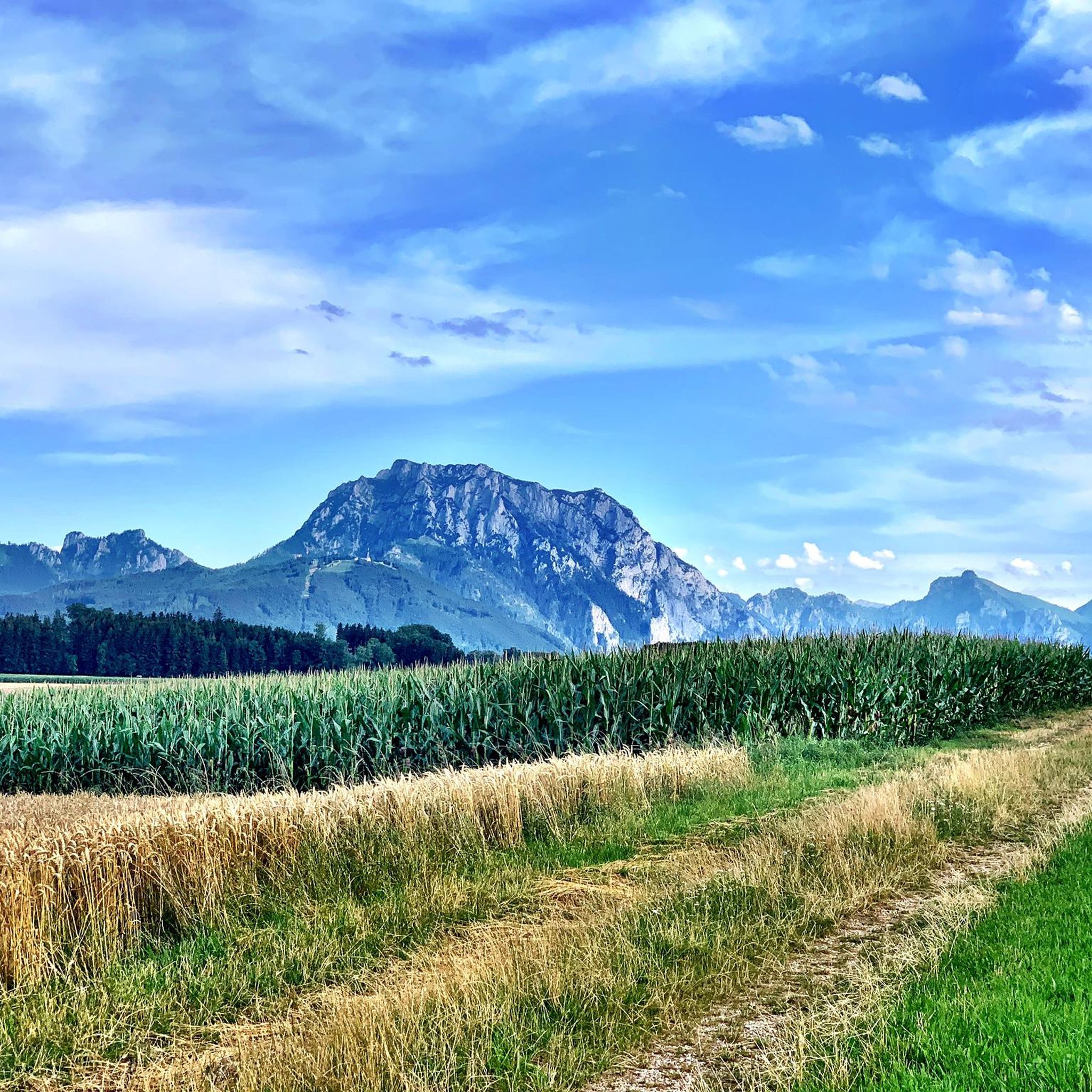
Beautiful view of the Traunstein and the Totes Gebirge.
6
0

For experienced mountain hikers, it is a great ascent in the Gamsluck'n, mostly on all fours, with fantastic views from the summit to the Totes Gebirge, Dachstein massif, and Höllengebirge.....
2
0

Great view of the Traunstein and the surrounding area. If you walk quickly, you can reach the summit in 1 hour. The path from the summit to the right further down is partly overgrown but recognizable (waterproof shoes are an advantage if you are out and about in the morning...wet, tall grass)
1
0

Great mountain with far-reaching views. Nice climb to the summit. A bit of scrambling is required!
1
1

The local recreation area and hiking paradise on Gmunden's local mountain offers a cozy way to enjoy the wonderful view over Lake Traunsee from the summit! Thanks to the barrier-free Grünberg cable car, the almost 600 meters in altitude to the Grünberg can be overcome comfortably and without effort. At the summit you can also expect offers such as the 1.4 km long summer toboggan run, which proudly bears the name "Grünberg-Flitzer", the simple panoramic circular route, the hiking trail to Lake Laudach, nestled between Grünberg and the majestic Traunstein, or a cozy place to stop for a break in the " Grünbergalm”. The adventure playground and the low ropes course on the Grünberg plateau is a paradise for children at an altitude of almost 1,000 meters. The large children's playground is located directly below the Grünbergalm's extended terrace and viewing platform and leaves nothing to be desired. Paragliders and hang gliders take off to lofty heights from the launch site on Grünberg, in the immediate vicinity of Grünbergalm. The beautiful Salzkammergut offers fantastic views from the mountain to the valley. Head to the treetops on the Grünberg treetop path! - The unique natural experience in the Salzkammergut The highlight of the 1,400 meter long path is the 39 meter high observation tower with a breathtaking view over the entire Salzkammergut, from Traunsee to Dachstein.
12
1
Beautiful panoramic mountain in Upper Austria. foothills
1
0

It's been a while since my hike up the Katzenstein. I climbed up from the turning point under the stone. This route is a little easier. The final climb to the summit is quite steep. The view from the top is terrific.
1
2

A nice circular route is the following route: From the Scharnsteiner Straße junction via Dürnberg to the car park (if not open, park at the bottom of the main road), then after the Schrattenau at a small abandoned gravel pit take the Jagasteig to the summit. This is well marked with Stoamandln. And then back the normal marked path. Both paths are about equally demanding. You can send me a planned route via email.
2
0
Frequently Asked Questions
Are there family-friendly mountain peaks around Ohlsdorf?
Yes, the Grünberg Summit and Treetop Walk is an excellent choice for families. It features a barrier-free cable car, 20 kilometers of hiking trails, a summer toboggan run, an adventure playground, a low ropes course, and a treetop path, all offering stunning views over Lake Traunsee.
What are some challenging mountain peaks for experienced hikers near Ohlsdorf?
For experienced hikers, the Katzenstein Summit offers a demanding ascent, often requiring all fours in the Gamsluck'n, with fantastic views of the Totes Gebirge, Dachstein massif, and Höllengebirge. The Traunstein summit cross is another challenging option, known for its varied and demanding routes and great views of the Traunsee.
Where can I find scenic viewpoints of Lake Traunsee and the surrounding mountains?
The View of Lake Traunsee and the Traunstein from Hochgschirr offers a beautiful perspective of the Traunstein and Lake Traunsee. Additionally, Steineck provides wonderful views of the Traunstein and the Totes Gebirge.
What outdoor activities can I do near the mountain peaks around Ohlsdorf?
Beyond peak bagging, you can explore various outdoor activities. There are numerous Mountain Hikes, including difficult routes like the Katzenstein Summit Cross and the Traunsee Via Ferrata. For those who enjoy running, there are several Running Trails, and Gravel Biking routes are also available in the region.
Are there easy or beginner-friendly mountain routes in the Ohlsdorf area?
While many peaks offer challenging ascents, the Grünberg area, accessible via cable car, provides more leisurely options. The Grünberg Summit and Treetop Walk has a simple panoramic circular route and well-developed hiking trails suitable for easier walks.
What do visitors enjoy most about the mountain peaks around Ohlsdorf?
Visitors frequently praise the diverse and stunning views, particularly of the Traunsee, Totes Gebirge, Dachstein, and Höllengebirge. The variety of trails, from challenging climbs to family-friendly paths, and the unique attractions like the Grünberg Treetop Walk, are also highly appreciated by the komoot community.
What is the best season for hiking the mountains around Ohlsdorf?
The best season for hiking in the Ohlsdorf mountains is generally from late spring to early autumn (May to October). During this period, the weather is typically more stable, and trails are clear of snow, offering optimal conditions for exploration and enjoying the views. Always check local weather forecasts before heading out.
Are there any circular walks around the Ohlsdorf mountains?
Yes, for example, the Grünberg area offers a simple panoramic circular route at the summit. For more challenging circular walks, you can find routes like the 'Katzenstein Summit Cross (1,349 m) – Ramsaualm at Laudachsee loop' within the Mountain Hikes around Ohlsdorf guide.
What should I bring for a mountain hike in Ohlsdorf?
For a mountain hike in Ohlsdorf, it's advisable to bring appropriate hiking footwear, weather-appropriate clothing (layers are recommended), sufficient water and snacks, a map or GPS device, and sun protection. For more challenging routes, consider trekking poles and a first-aid kit. Always check the weather forecast before your trip.
Are there cafes or places to eat near the Ohlsdorf hiking trails?
Yes, particularly around popular spots. For instance, near the Grünberg Summit and Treetop Walk, you'll find the 'Grünbergalm' which offers a cozy place to stop for a break. Other trails may have mountain huts or restaurants in nearby villages.
Are there dog-friendly hikes among the Ohlsdorf peaks?
Many trails in the Ohlsdorf region are dog-friendly, but it's always recommended to keep dogs on a leash, especially in nature reserve areas or near livestock. The Grünberg area, with its extensive network of trails, can be a good starting point, but always check specific trail regulations before you go.
Most popular routes around Ohlsdorf
Most popular attractions around Ohlsdorf

Get inspired with the komoot mobile app


Explore more
See even more amazing summits around Ohlsdorf with these guides:
