The best walks and hikes around Mesquite
4.6
(11)
431
hikers
43
hikes
Hiking around Mesquite, Nevada, offers diverse desert landscapes characterized by striking red rock formations and varied desert trails. The region features washes, mesas, and unique desert flora, situated near the Virgin Mountains and Gold Butte National Monument. This topography provides opportunities to explore rugged desert beauty, intricate canyons, and rocky outcrops. The area ensures a variety of hiking experiences across flat desert expanses, rolling hills, and steep canyons.
Best hiking trails around Mesquite
- The most popular hiking route is Duck Creek Greenbelt Trail, a 6.5 miles (10.4 km) moderate trail that takes about 2 hours 40 minutes to complete, offering scenic views along the greenbelt.
- Another top favourite among local hikers is Piedmont Ridge Trail, an easy 0.7 miles (1.2 km) path. This route provides views of the desert landscape and is suitable for a quick walk.
- Local hikers also love the SoPac Trail, a 26.6 miles (42.8 km) difficult trail leading through varied desert terrain, often completed in about 11 hours.
- Hiking around Mesquite is defined by red rock formations, desert trails, and access to mountain and canyon environments. The network offers options for different ability levels, from easy walks to more challenging treks.
- The routes in Mesquite are highly rated by the komoot community with an average score of 4.6 stars from over 10 reviews. More than 400 hikers have used komoot to explore Mesquite's varied terrain.
Last updated: July 2, 2026
10.4km
02:39
20m
30m
Embark on the Duck Creek Greenbelt Trail, a moderate hiking route that offers a refreshing escape into nature within Garland, Texas. This 6.5-mile (10.4 km) path winds along both banks of Duck Creek, guiding you through diverse scenery that includes dense woodlands and open meadows. You can expect creek-side views and opportunities for birdwatching, with the entire journey taking approximately 2 hours and 38 minutes to complete, gaining 77 feet (23 metres) in elevation.
Planning your visit is straightforward, as the trail primarily features an 8 to 12 foot wide concrete surface, making it generally easy to navigate. However, be aware that some sections, particularly near Gatewood Park, can become muddy and present tricky slopes if wet. Parking is conveniently available at the various parks connected by the trail, providing multiple access points for your adventure.
The Duck Creek Greenbelt Trail serves as a tranquil natural retreat right within the city, connecting several local parks like Troth Ablon Park. Along the way, you will find strategically placed park benches and picnic areas, perfect for a rest or a snack. The route also offers access to fishing ponds, enhancing its appeal as a versatile urban green space for outdoor enthusiasts.
1.19km
00:19
20m
10m
Discover the Piedmont Ridge Trail, an easy hiking route that offers a quick escape into nature right within Dallas. This trail covers 0.7 miles (1.2 km) with a gentle elevation gain of 60 feet (18 metres), and you can typically complete it in about 19 minutes. As you hike, you will experience varied terrain and enjoy panoramic views of the Dallas skyline, contrasting with the expansive Great Trinity Forest. Look for a specific overlook that provides glimpses of the Trinity River bridges.
To begin your hike, head to Gateway Park, where the Piedmont Ridge Trail is easily accessible. The trail is located near the Keeton Park Golf Course, making it simple to find within the City of Dallas parks system. Parking is generally available in the vicinity, so you should have no trouble finding a spot for your vehicle before you start your short adventure. This convenience makes it ideal for a spontaneous outdoor activity.
What makes this trail stand out is its ability to offer noticeable elevation changes and diverse terrain, which is uncommon for many urban trails in Dallas. On a clear day, you might even spot the broadcast towers at Cedar Hill in the distance, adding another layer to the scenic views. The Piedmont Ridge Trail provides a unique opportunity to connect with nature and enjoy significant city and natural landmarks without venturing far from the urban core.

Sign up for free
6.49km
01:40
30m
30m
The Samuell Farm Trail offers a delightful journey through a diverse landscape, making it a perfect escape from the urban bustle. You'll wander through lush fields and green pastures, past multiple ponds that attract various bird species, and into wooded sections that provide a refreshing canopy. In spring, the farm transforms with vibrant wildflowers, especially bluebonnets, creating a truly picturesque setting that feels miles away from the city.
Planning your visit to Samuell Farm is quite simple, as it's a very accessible park. The trails are generally considered easy, covering 4.0 miles (6.5 km) with a gentle 102 feet (31 metres) of elevation gain, taking about 1 hour and 40 minutes. It's a dog-friendly park, so feel free to bring your leashed companion, and with some paved sections, it's also suitable for strollers or wheelchairs in certain areas.
Beyond just hiking, Samuell Farm is a significant public park with a rich history, donated by philanthropist William Samuell. It's recognized as the first Gold Standard Site in Texas for promoting responsible outdoor enjoyment and offers various activities like mountain biking and archery through its Outdoor Adventures program. The presence of historical structures, such as a rustic barn and farmhouse, adds a unique charm to this leafy oasis.
42.8km
10:58
180m
170m
Embark on the SoPac Trail for a challenging hike that winds through diverse landscapes within White Rock Lake Park. This difficult route spans 26.6 miles (42.8 km) and involves a total elevation gain of 581 feet (177 metres), taking approximately 10 hours and 57 minutes to complete. You will experience a mix of shaded, tree-lined sections and areas that transition through urban zones, offering varied scenery as you progress. Keep an eye out for historical landmarks like the White Rock Lake Water Works Building, which adds character to your journey along the lake's west shore.
Planning your visit to the SoPac Trail is straightforward, as the route is well-maintained and easy to navigate, offering good visibility throughout. You can bring your dog along for the adventure, but please ensure they remain on a leash and that you clean up after them. The trail benefits from community support, providing convenient amenities such as benches for resting and trash receptacles for waste disposal along the way.
The SoPac Trail holds a unique history, as it was built upon a former railway corridor, which explains its generally gentle grade and easy-to-follow path. This historical foundation gives the route a distinct character, blending natural beauty with a touch of the past. The trail's connection to White Rock Lake also means you will enjoy consistent scenic views of the water, making it a notable option for a long and engaging day out in the area.
5.0
(7)
68
hikers
15.2km
03:53
60m
60m
Hike the 9.4-mile White Rock Lake Trail in Dallas, a moderate route with lake views and diverse wildlife, taking under 4 hours.
Get access to more routes and recommendations from other explorers.
Sign up for free
Already have an account?
Our route recommendations are based on thousands of hikes, rides, and runs completed by other people on komoot.
Start today with a free account
Your next adventure awaits.
Login or Signup


Tips from the Community

White Rock Lake is a large park that encompasses 1,015 acres and is situated approximately five miles northeast of downtown Dallas. As one of the most frequented parks in the Dallas Park system, it hosts numerous special events, and is an excellent place to experience natural areas and wildlife within an urban setting. Amenities include a 9.33-mile hike and bike trail, rental facilities (at Winfrey Point and Big Thicket), the White Rock Lake Museum, Bath House Cultural Center, Dallas Arboretum, Audubon Society bird watching area, wetland, dog park, picnic areas, pavilions available for rent, piers, boat ramps, and a kayak concession. The park is open daily from 6 a.m. to 11 p.m.
1
0

Very nice and atmospheric building. Bathrooms are available slightly to the north, though the nice bathroom building with its painted walls has been padlocked, and you have to use portable cabins now...
0
0
Trestle Bridge across Williamson Branch, a tributary of White Rock Lake. Sure, it looks like it used to be a former railroad bridge.
0
0
Access for boats to cruise White Rock Lake. Limitations apply...
0
0
The historic Water Works Building of White Rock Lake. Not open to the public.
0
0
Historic Water Filter Building: Used to filter the lake water for drinking, today it is an event location.
0
0

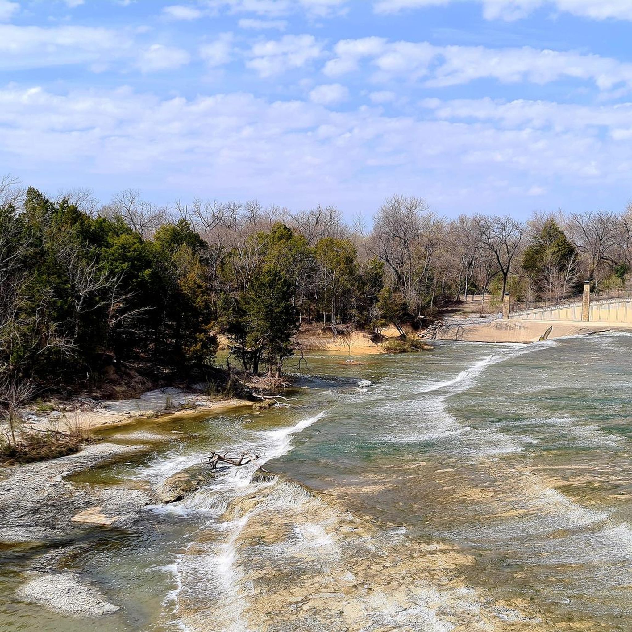
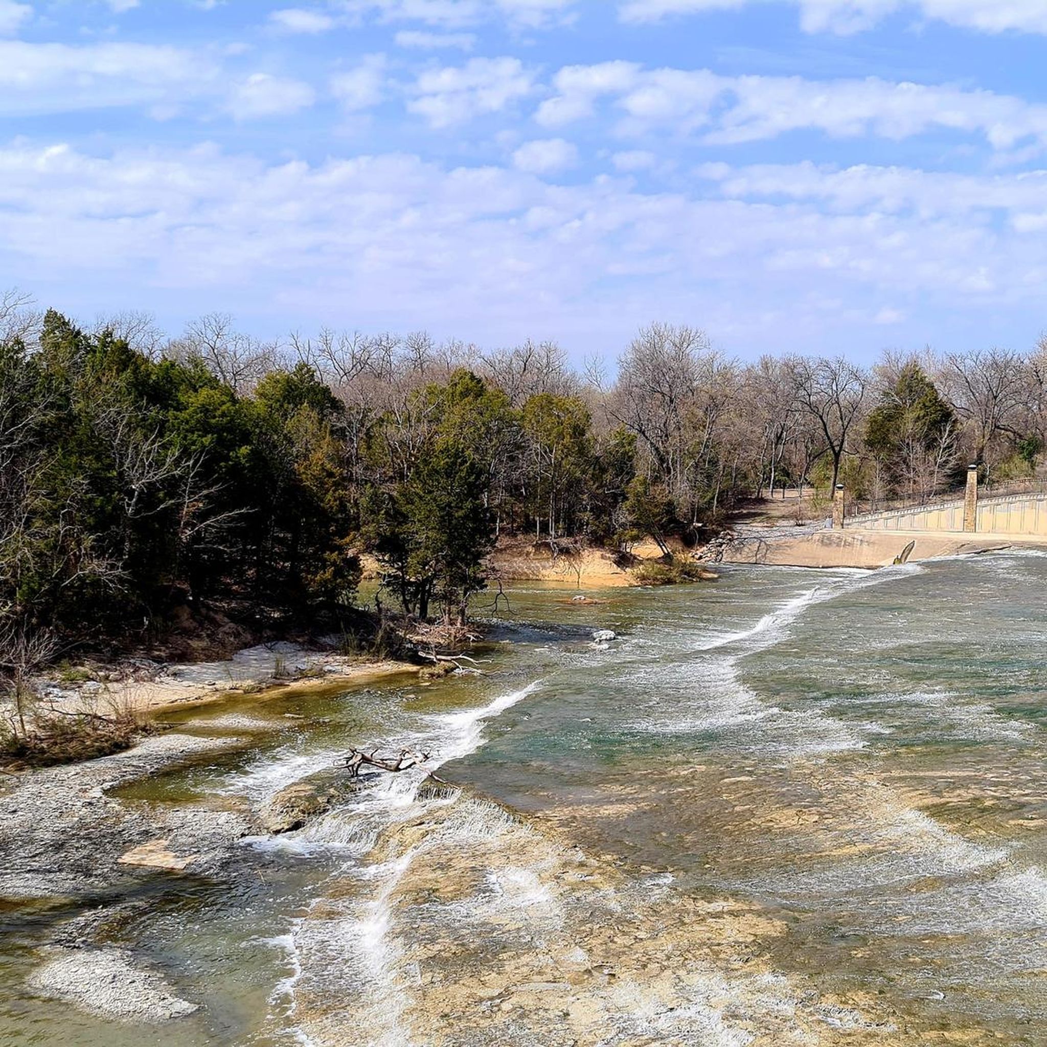
You can see the dam, spillway, and lake from a bunch of different spots. This viewpoint is at the top of the dam next to White Rock Lake looking down the small cascade at White Rock Creek.
0
0

The boat house located at White Rock Lake belongs to White Rock Rowing and is a very nice spot to take some photos. It lies next to a parking lot and the White Rock Trail, that goes all around the lake.
1
0
Frequently Asked Questions
How many hiking trails are available around Mesquite?
Komoot features over 30 hiking routes around Mesquite, offering a variety of experiences. Most of these, around 29, are considered easy, with 4 moderate options. You'll find diverse terrain, from desert trails to routes near the Virgin Mountains.
What kind of terrain can I expect on hikes near Mesquite?
The Mesquite area is known for its dramatic desert landscapes, featuring stunning red rock formations, washes, mesas, and unique desert flora. You'll encounter a mix of flat desert expanses, rolling hills, steep canyons, and rocky outcrops, providing varied hiking experiences.
Are there any easy, family-friendly hikes in Mesquite?
Yes, Mesquite offers many easy routes suitable for families. For instance, the Dallas Arboretum and Botanical Garden loop is a gentle 2 km walk with minimal elevation gain, perfect for a relaxed outing. Many trails are designed to be accessible for various skill levels.
What are some scenic highlights or attractions to look out for on Mesquite trails?
While hiking around Mesquite, you can explore unique geological formations and natural features. Nearby attractions include the Pier at White Rock Lake and the Wetlands Boardwalk, White Rock Lake. The Dallas Arboretum and Botanical Garden is also a notable point of interest.
Are there any loop trails for hiking near Mesquite?
Yes, there are several loop trails available. A popular option is the White Rock Lake Trail loop — Dallas, which covers over 15 km and offers a moderate challenge. Another shorter loop is the White Rock Lake Pier – White Rock Lake loop, at just under 7 km.
What is the best time of year to go hiking in Mesquite?
The best time for hiking in Mesquite is typically during the cooler months, from fall through spring (October to April). Summers can be extremely hot, making early morning or late afternoon hikes essential, with plenty of water. The vibrant red rock formations are particularly striking in the softer light of these seasons.
What should I wear and bring for hiking in Mesquite's desert environment?
Given the desert environment, it's crucial to wear layers, a wide-brimmed hat, and sturdy hiking shoes. Always carry ample water, as hydration is key in arid conditions. Sunscreen, sunglasses, and a map or GPS device are also highly recommended.
Are there opportunities to see wildlife on the trails around Mesquite?
The desert ecosystem around Mesquite, including areas like Gold Butte National Monument, supports diverse wildlife. Hikers might spot various bird species, lizards, desert hares, and potentially larger mammals like bighorn sheep or coyotes, especially during cooler parts of the day.
Do I need any permits for hiking in the Mesquite area?
Most general hiking trails directly around Mesquite do not require permits. However, if you plan to venture into specific protected areas like Gold Butte National Monument for backcountry exploration, it's always wise to check with the managing agency for any specific regulations or permit requirements before your trip.
What do other hikers enjoy most about the trails in Mesquite?
The hiking routes in Mesquite are highly rated by the komoot community, with an average score of 4.8 stars from over 12 reviews. Hikers often praise the stunning red rock formations, the diverse desert scenery, and the variety of trails that cater to different skill levels, from easy walks to more challenging treks.
Are there any trails near Mesquite that are suitable for beginners?
Absolutely. Many trails around Mesquite are classified as easy, making them ideal for beginners. The Rowlett Nature Trail out and back is a good example, offering a relatively flat and short walk of about 4.4 km, perfect for those new to hiking or looking for a gentle stroll.
Most popular routes around Mesquite
Most popular attractions around Mesquite

Get inspired with the komoot mobile app


Explore more
Browse the best Hikes in other regions.
