The best running trails around Cedar Hills
4.4
(6)
600
runners
60
runs
Jogging routes around Cedar Hills are primarily situated within Utah County, offering a diverse landscape for runners. The region is characterized by its proximity to the Wasatch Front mountains, featuring canyons, valleys, and a network of trails. Runners can expect varied terrain, from paths alongside golf courses and canal trails to more challenging routes with significant elevation gains in mountainous areas. This environment provides a range of running experiences, from urban-adjacent trails to more natural, rugged paths.
Best jogging routes around Cedar Hills
- The most popular jogging route is Running loop from Pleasant Grove, a 6.4 miles (10.3 km) trail that takes 1 hour 4 minutes to complete. This route offers a balanced running experience through the local area.
- Another top favourite among local runners is Fox Hollow Golf Course – Murdock Canal Trail loop from American Fork High School, a moderate 7.6 miles (12.3 km) path. This route leads through developed areas and along the Murdock Canal.
- Local runners also love the Running loop from Highland, a 8.5 miles (13.6 km) trail leading through local neighborhoods and open spaces, often completed in about 1 hour 24 minutes.
- Jogging around Cedar Hills is defined by mountain foothills, canal paths, and local park trails. The network offers options for different ability levels, from easy runs to more difficult climbs.
- The routes in Cedar Hills are highly rated by the komoot community with an average score of 5.0 stars from over 1 review. More than 340 runners have used komoot to explore Cedar Hills's varied terrain.
Last updated: October 3, 2026
22
runners
Hard run. Very good fitness required. Mostly paved surfaces. Suitable for all skill levels.
22
runners
Hard run. Very good fitness required. Mostly paved surfaces. Suitable for all skill levels.

22
runners
20.7km
02:09
70m
70m
Hard run. Very good fitness required. Mostly paved surfaces. Suitable for all skill levels.
12
runners
22.2km
02:19
110m
110m
Hard run. Very good fitness required. Mostly paved surfaces. Suitable for all skill levels.
11
runners
Hard run. Very good fitness required. Mostly paved surfaces. Suitable for all skill levels.
Get access to more routes and recommendations from other explorers.
Already have an account?
Our route recommendations are based on thousands of hikes, rides, and runs completed by other people on komoot.
Start today with a free account
Your next adventure awaits.

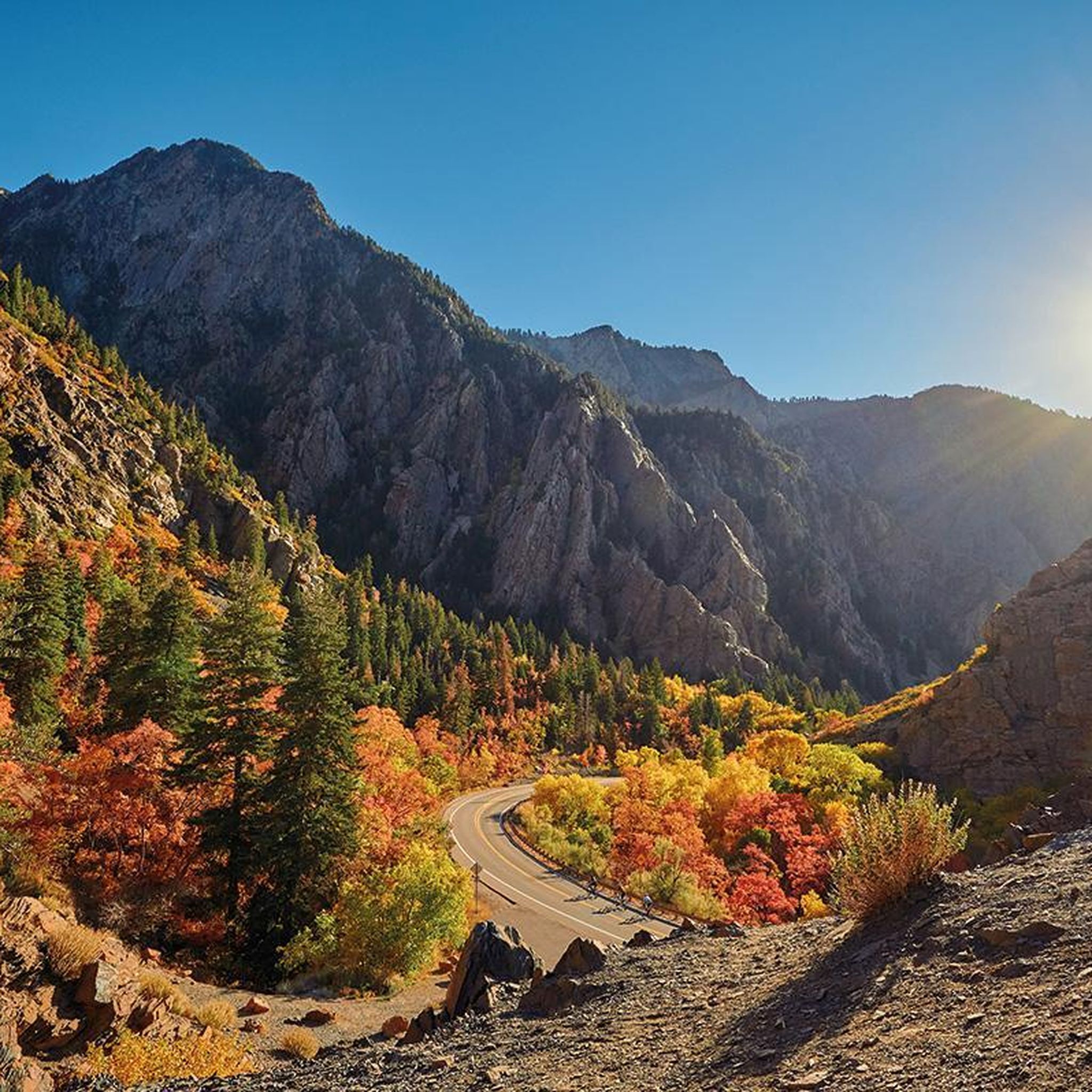
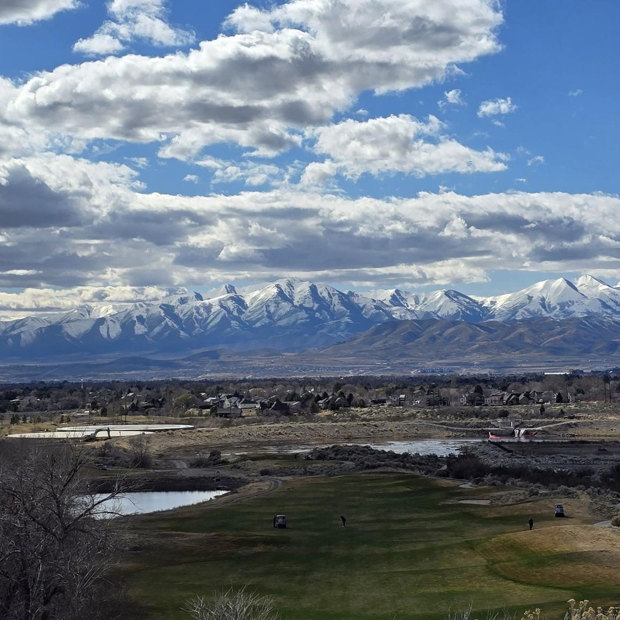

Tips from the Community

This bright red barn is a standout amongst the beautiful mountain backdrop. It's one of many scenic features along this trail and is worthy of a stop to take a great photo!
0
0

The valley views from Murdock Trail are just remarkable, especially at sunrise/sunset!!
0
0

This 17-mile trail traverses seven cities and follows the path of the original trail constructed in the early 1900s. The trail was initially built to transport water from the Provo River for irrigation in Northern Utah County.
0
0

Lower Pond is a water reservoir that is entirely fenced off, so it is not accessible to the public. The pond is visible either from the Murdock Canal Trail over the other side of the pond, or from the road right here. On the opposite side of the road is a small park with a rotunda and playground. As you look towards the pond you will see the stunning high mountains looming in the background.
1
0
This 17-mile trail traverses seven cities and follows the path of the original trail constructed in the early 1900s. The trail was initially built to transport water from the Provo River for irrigation in Northern Utah County.
0
0

Dry Creek Reservoir, along Dry Creek, has a multi-use path that follows the northern shore of the reservoir along Timpanogos Highway. This area offers great views of the surrounding mountains but is close to a high car-traffic area, so ride safely.
0
0
This 17-mile paved trail follows the Murdock Canal from Provo Canyon to Thanksgiving Point, offering plenty of great views of the water as you ride.
2
0
Frequently Asked Questions
What kind of terrain can I expect on running routes around Cedar Hills?
Jogging routes in Cedar Hills, located in Utah County near the Wasatch Front mountains, offer a diverse range of terrain. You'll find paths alongside golf courses, canal trails, and more challenging routes with significant elevation gains in mountainous areas. This provides options from urban-adjacent trails to natural, rugged paths.
Are there any easy or beginner-friendly running paths in Cedar Hills?
Yes, Cedar Hills offers several routes suitable for beginners or those looking for an easier run. While the guide highlights many moderate and difficult options, there are 3 easy routes available. For a moderate option with less elevation, consider the Fox Hollow Golf Course – Murdock Canal Trail loop from American Fork High School, which is 7.6 miles long with minimal elevation gain.
Where can I find scenic views or natural attractions along the jogging routes?
Many routes offer beautiful scenery. For instance, the Battle Creek Falls loop from Pleasant Grove features notable elevation changes and scenic views near Battle Creek Falls. Other natural highlights in the area include Mount Timpanogos, Highland Glen Park Lake, and Grove Creek Spring.
Are there any loop routes for jogging in Cedar Hills?
Yes, many of the running paths in Cedar Hills are loops, providing a convenient way to start and end in the same location. Popular loop options include the Battle Creek Falls loop from Pleasant Grove, the Running loop from Pleasant Grove, and the Fox Hollow Golf Course – Murdock Canal Trail loop from American Fork High School.
What do other runners say about the trails in Cedar Hills?
The running routes in Cedar Hills are highly rated by the komoot community, with an average score of 5.0 stars. Runners often praise the varied terrain, from mountain foothills to canal paths, and the options available for different ability levels.
How many running routes are available in the Cedar Hills area?
There are over 40 distinct running routes available around Cedar Hills. These include a mix of easy, moderate, and difficult trails, ensuring options for various fitness levels and preferences.
Are there any routes that feature waterfalls?
Yes, you can experience waterfalls on some routes. The Battle Creek Falls loop from Pleasant Grove takes you near the beautiful Battle Creek Falls. Another notable waterfall in the region is Timpanogos Falls.
What are some longer or more challenging running routes in Cedar Hills?
For a more challenging run, consider routes classified as 'difficult'. The Battle Creek Falls loop from Pleasant Grove is a demanding 10.7-mile route with significant elevation gain. Another difficult option is the Dry Creek Reservoir – Murdock Canal Trail loop from 2600 N @ 556 W, which spans over 13 miles.
Can I find routes along canals or waterways?
Absolutely. Several routes utilize the local canal system. The Fox Hollow Golf Course – Murdock Canal Trail loop from American Fork High School and the Dry Creek Reservoir – Murdock Canal Trail loop from 2600 N @ 556 W both follow sections of the Murdock Canal Trail, offering relatively flat and scenic paths.
Are there any routes that pass by golf courses?
Yes, some routes incorporate sections near local golf courses. For example, the Fox Hollow Golf Course – Murdock Canal Trail loop from American Fork High School runs alongside the Fox Hollow Golf Course, combining developed areas with natural canal paths.
What kind of natural features define the Cedar Hills running experience?
The running experience in Cedar Hills is defined by its proximity to the Wasatch Front mountains, offering a unique blend of canyons, valleys, and diverse ecosystems. You'll encounter mountain foothills, canal paths, and local park trails, providing a varied backdrop for your run.
Most popular attractions around Cedar Hills

Get inspired with the komoot mobile app


Explore more
Browse the best Running Trails & Routes in other regions.
