The best running trails around South Weber
5.0
(4)
569
runners
63
runs
Jogging routes around South Weber are set within a landscape characterized by the majestic Wasatch Mountains to the east and the scenic Weber River. The region features extensive trail systems, green spaces, and mature landscaping, providing varied terrain for outdoor activities. These natural elements contribute to a diverse environment for running, ranging from river-side paths to routes with mountain views.
Best jogging routes around South Weber
- The most popular jogging route is Bonneville Shoreline Loop, a 3.1 miles (5.1…
Last updated: July 12, 2026
5
runners
5.07km
00:43
200m
200m
The Bonneville Shoreline Loop offers a dynamic jogging experience, winding through rolling hills dotted with scrub oak and wildflowers. You'll be treated to stunning, expansive views of the Wasatch Mountains…
4
runners
4.58km
00:31
70m
70m
The Kays Creek Parkway and Hobbs Reservoir Loop offers a delightful jogging experience, blending paved paths with natural dirt sections around the scenic Hobbs Reservoir. You'll follow Kays Creek through…

Sign up for free
33
runners
19.3km
02:29
480m
480m
Hard run. Very good fitness required. Sure-footedness, sturdy shoes and alpine experience required.
19
runners
5.52km
00:42
80m
80m
Moderate run. Good fitness required. Mostly paved surfaces. Suitable for all skill levels.
13
runners
15.8km
01:44
40m
40m
The Pretty artwork under the bridge loop from Roy offers a distinctive jogging experience, transforming a long run into an outdoor art gallery. You'll follow the paved Lansing River Trail,…
Get access to more routes and recommendations from other explorers.
Sign up for free
Already have an account?
Our route recommendations are based on thousands of hikes, rides, and runs completed by other people on komoot.
Start today with a free account
Your next adventure awaits.
Login or Signup
Tips from the Community

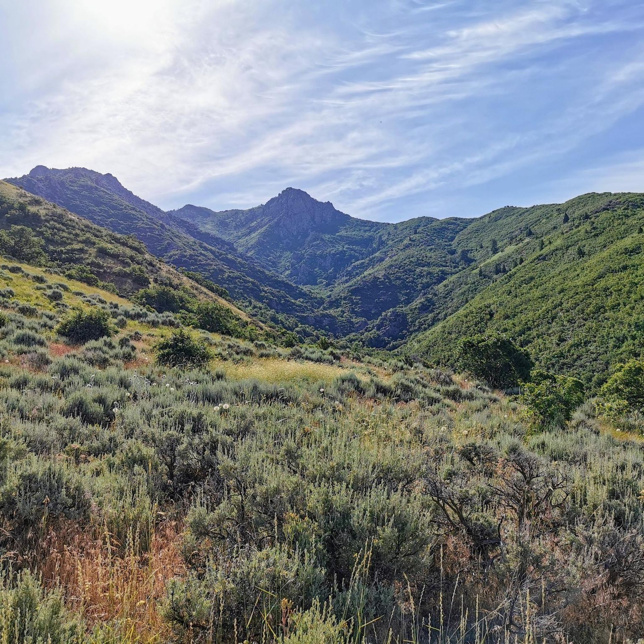
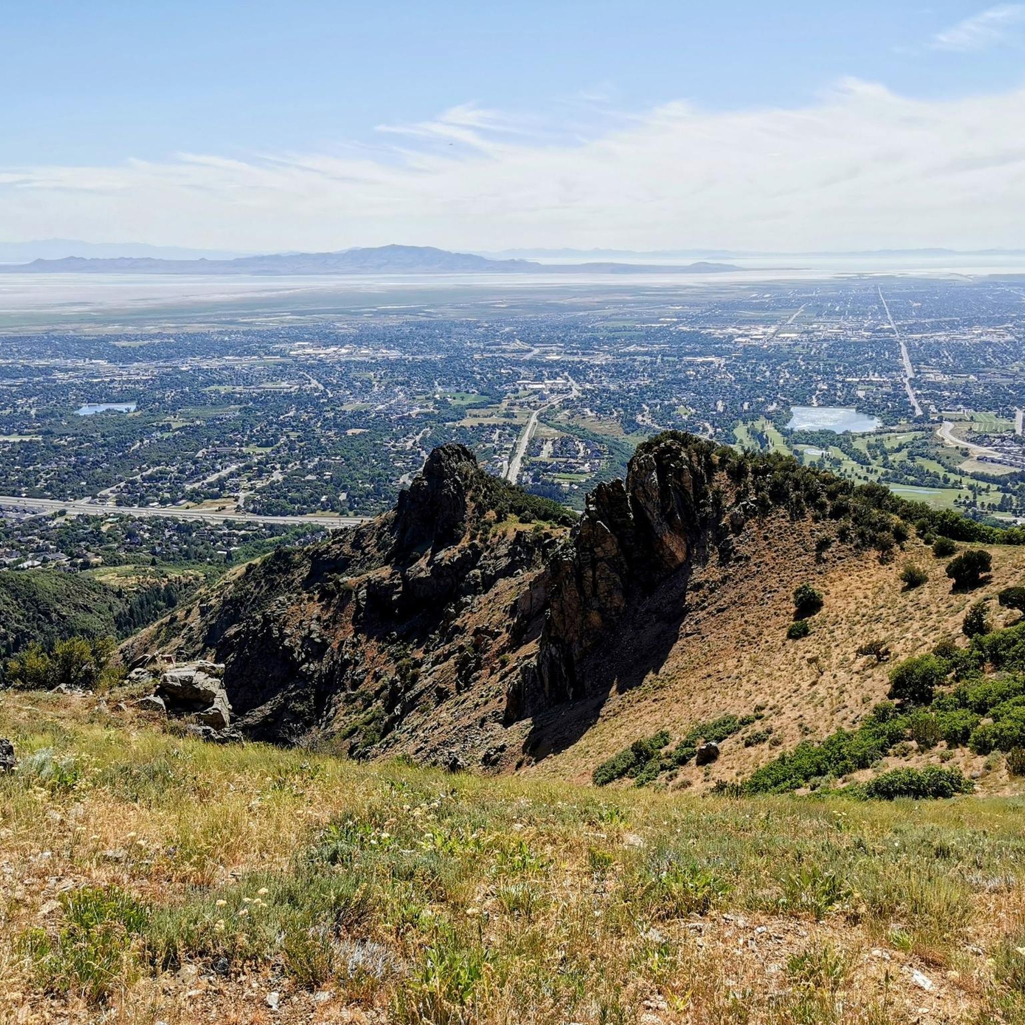
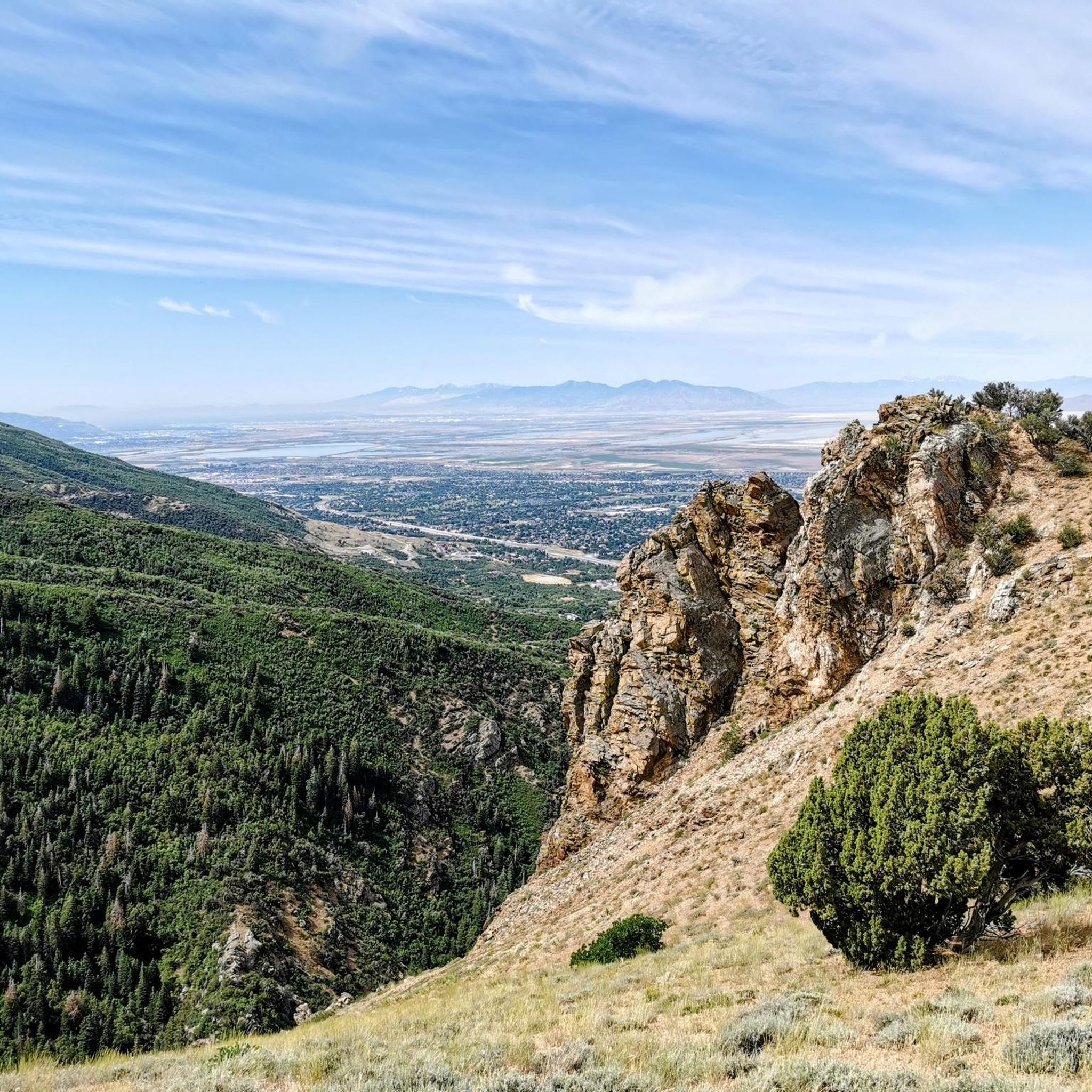
The East Mountain Wilderness Park is situated in the city of Kaysville, Utah. The park includes a nice multi-use trail for hiking and biking, various side trails and great views from the top of the mountain.
0
0
The Bonneville Shoreline Trail is a trail system in Utah, that follows the ancient shoreline of Lake Bonneville. With a total length of over 280 miles, this section in Layton is just a very small part of the multi-use trail. The marked section passes multiple little creeks and leads through beautiful landscape.
0
0

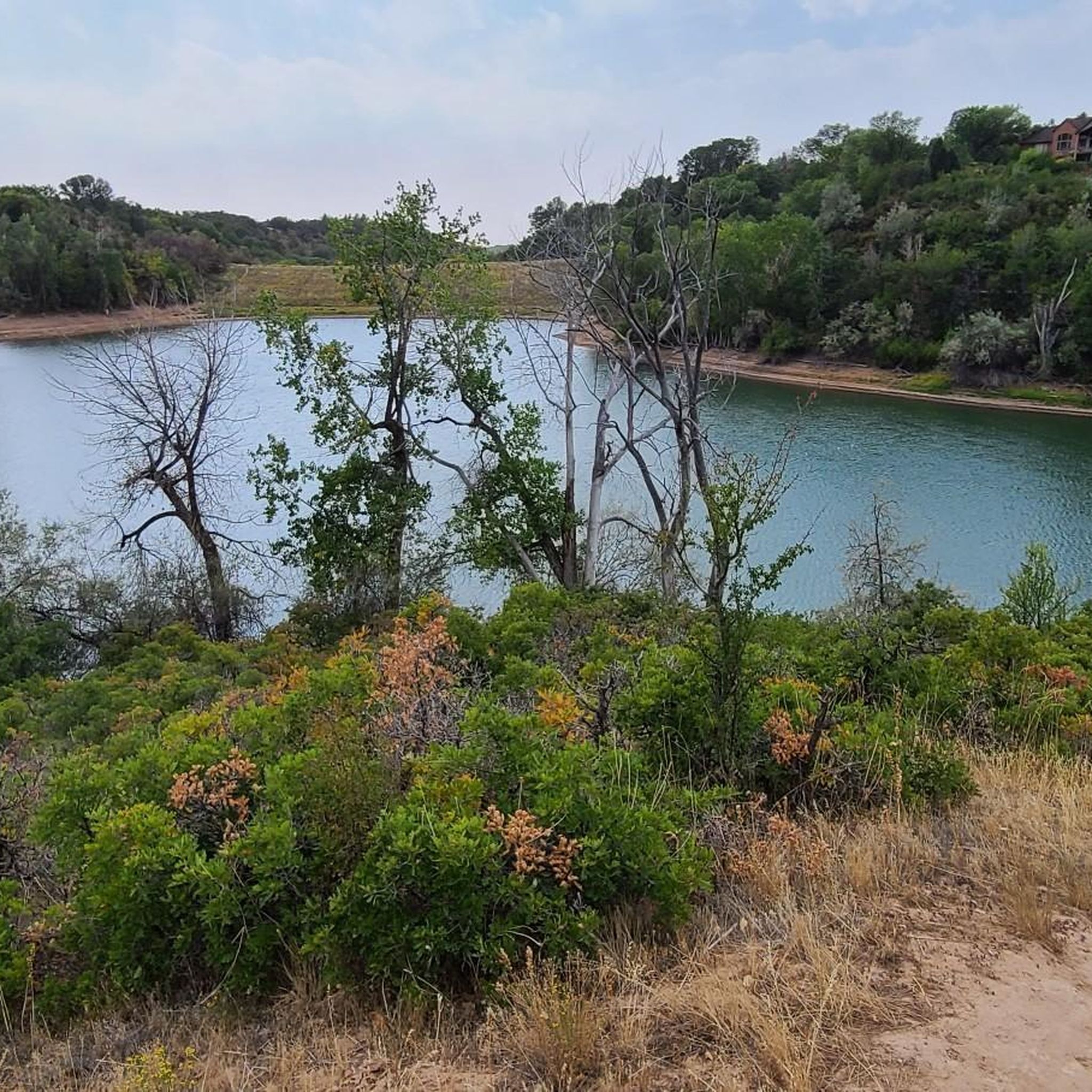
The Hobbs Reservoir is a small lake just outside of the Uinta-Wasatch-Cache National Forest. You can run a loop around the lake by connection the Hobbs Creek Reservoir Trail and the Kays Creek Parkway to each other.
0
0
The Bonneville Shoreline Trail is a trail system in Utah, that follows the ancient shoreline of Lake Bonneville. With a total length of over 280 miles, this section in Layton is just a very small part of the multi-use trail. The marked section passes multiple little creeks and leads through beautiful landscape.
0
0
The Hobbs Reservoir is located in the east of Layton and offers a nice and quiet atmosphere in the city. The Hobbs Creek Reservoir Trail and the Kays Creek Parkway encircle the reservoir, making it a great location for a little hike.
0
0
The East Mountain Wilderness Park is situated in the city of Kaysville, Utah. The park includes a nice multi-use trail for hiking and biking, various side trails and great views from the top of the mountain.
0
0

Look at this artwork and under the bridge. Avoid looking at graffiti on the columns.
0
0
Frequently Asked Questions
How many running routes are available in South Weber?
South Weber offers a wide selection of running routes, with over 60 different options available. These routes cater to various preferences, from easy strolls to more challenging mountain trails.
Are there any easy or beginner-friendly jogging routes in South Weber?
Yes, South Weber has several easy routes perfect for beginners or those looking for a relaxed run. A great option is the Kays Creek Parkway and Hobbs Reservoir Loop, which is an easy 2.8-mile path offering varied terrain and opportunities for wildlife viewing.
What kind of scenic views can I expect on South Weber's running trails?
Jogging routes in South Weber boast stunning scenery, primarily defined by the majestic Wasatch Mountains to the east and the picturesque Weber River. Many trails offer expansive mountain vistas, while others follow the river, providing serene waterside views. The Bonneville Shoreline Loop, for example, is known for its scenic mountain views.
Are there any longer or more challenging routes for experienced runners?
Absolutely. For those seeking a more demanding workout, South Weber provides several difficult routes. The Weber River Parkway – Ogden River loop from Riverdale is a challenging 16.2-mile trail that takes about 2 hours 42 minutes to complete. Another option is the East Mountain Wilderness Park loop from Antelope Drive Park-and-Ride Lot, which spans over 19 kilometers.
What do other runners say about the trails in South Weber?
The running trails in South Weber are highly regarded by the komoot community, holding an average rating of 5.0 stars from numerous reviews. Runners often praise the diverse terrain, the beautiful mountain and river views, and the well-maintained green spaces that make for an enjoyable outdoor experience.
Are there any circular running routes in the area?
Yes, many of South Weber's running paths are designed as loops, offering convenient circular routes. The Kays Creek Parkway and Hobbs Reservoir Loop is an easy circular option, and the Running loop from Fernwood Recreation Site provides a moderate 11.4 km circular path.
Are the running trails in South Weber suitable for families?
Many of South Weber's trails are suitable for families, especially the easier, flatter sections. The city's parks and green spaces, with their mature landscaping and amenities, provide a peaceful environment for leisurely jogs. The Weber River Parkway, for instance, is known for its flat, mostly paved or gravel surface, making it accessible for various activities.
Are there any trails with opportunities for wildlife viewing?
Yes, several trails in South Weber offer chances to observe local wildlife. The Kays Creek Parkway and Hobbs Reservoir Loop is specifically noted for providing opportunities for wildlife viewing. The northern part of the Weber River Parkway Trail also features wetlands, which are excellent for birdwatching and observing other nature.
What kind of surfaces can I expect on the running trails?
South Weber's extensive trail system offers a variety of surfaces. You'll find paved asphalt sections, gravel paths, and natural dirt trails. The Weber River Parkway, for example, features a flat, mostly paved asphalt and gravel surface, while other trails, particularly those in the mountains, will have more natural, uneven terrain.
Are there any notable landmarks or attractions near the running routes?
Yes, South Weber's running routes are often close to or pass by several interesting natural landmarks. You can find trails near the scenic Weber River Parkway and the Bonneville Shoreline Trail. For those interested in natural features, the Adams Canyon Waterfall is also a significant attraction in the vicinity.
Where can I find information about parking for the trailheads?
Many of the city's parks and trail access points offer convenient parking. For specific details on trailheads and parking facilities, you can often find information on the official South Weber City website's trails section: southwebercity.gov/trails/.
Is South Weber connected to a larger trail network?
Yes, South Weber is part of an extensive and growing trail network. There are plans underway to link the regional Bonneville Shoreline Trail with the Weber Pathways trail, which would create an expansive 220-mile network, further enhancing the running opportunities in the area.
Most popular routes around South Weber
Most popular attractions around South Weber

Get inspired with the komoot mobile app


Explore more
Browse the best Running Trails & Routes in other regions.
