The best walks and hikes around Old Bennington
4.5
(8)
70
hikers
15
hikes
Hiking around Old Bennington, Vermont, is characterized by its location within the southwestern Green Mountains, offering diverse terrain and scenic vistas. The region features a blend of deep woods, meadows, and hills, with the Appalachian Trail (A.T.) and Long Trail (L.T.) passing nearby. Hikers can explore varied landscapes, from gentle woodland paths to more challenging climbs with significant elevation changes. This area provides access to natural features like Bald Mountain and Mount Anthony, alongside historical landmarks.
Best hiking trails around…
Last updated: June 28, 2026
8
hikers
13.6km
04:17
620m
260m
Moderate hike. Good fitness required. Easily-accessible paths. Suitable for all skill levels.
3
hikers
2.56km
00:41
30m
30m
Easy hike. Great for any fitness level. Easily-accessible paths. Suitable for all skill levels.

Sign up for free
3.50km
01:17
310m
10m
Moderate hike. Good fitness required. Easily-accessible paths. Suitable for all skill levels.
3.52km
01:23
400m
0m
Moderate hike. Good fitness required. Easily-accessible paths. Suitable for all skill levels.
1.47km
00:29
120m
0m
Easy hike. Great for any fitness level. Easily-accessible paths. Suitable for all skill levels.
Get access to more routes and recommendations from other explorers.
Sign up for free
Already have an account?
Our route recommendations are based on thousands of hikes, rides, and runs completed by other people on komoot.
Start today with a free account
Your next adventure awaits.
Login or Signup
Popular around Old Bennington

Tips from the Community

Right next to VT-9 on the Long/ Appalachian Trail is a small stream with wooden foot bridge. This is a nice place to fill water bottles and snap a few photos before continuing onward on the Long/ Appalachian Trail toward the Melville-Nauheim Shelter and Glastenbury Mountain or crossing the road toward the scenic Harmon Hill.
0
0
Maple Hill stands at 2,690 feet and is situated on the Long/ Appalachian Trails. This scenic spot is a great destination for a day hike from the Bennington-Woodford area. You get lovely views from the top of the hill where is it clearcut for some power lines. Maple Hill is a great spot to rest, drink some water, and take some photos before continuing onward.
0
0
The Melville-Nauheim Shelter is shelter along the Appalachian/ Long Trail. Like most shelters in this area there is a lean-to (a three-sided, covered structure), places to pitch tents or tarps, pit-toilets, and a water source. Even if you are just day hiking, Melville-Nauheim Shelter might be a nice place to stop, use the bathroom, and get a feeling for what it might be like to thru-hike on these famous trails.
1
0
The top of Harmon Hill is covered by huge green ferns and dotted with trees, which stands in stark contrast to the rest of the area which is densely forested. This is because the summit of Harmon Hill is kept clear by controlled burns that allow for fantastic views of the town of Bennington and the surrounding area. This lush meadow is a perfect place to rest, admire the views, and sip some water before continuing on your hike.
1
0
Frequently Asked Questions
How many hiking trails are available around Old Bennington?
There are 14 distinct hiking routes around Old Bennington, offering a variety of experiences. These include 5 easy trails, 7 moderate trails, and 2 more challenging options, ensuring something for every skill level.
Are there any easy, family-friendly hikes in Old Bennington?
Yes, Old Bennington offers several easy trails perfect for families. A great option is The Mile-Around Woods, an easy 2.6 km path through scenic woodland and pasture. The Waters Hill Cemetery Trail is another gentle, shorter option. Additionally, the Carriage Road on Mount Anthony provides beginner-friendly walking with amazing views.
What are the best trails for scenic views in Old Bennington?
For breathtaking vistas, consider trails that ascend to higher points. Harmon Hill and Scrub Hill offers expansive views of Bennington, Mount Anthony, and even into New York State. Bald Mountain (also known as "White Rocks") is another popular choice, providing sweeping views of the surrounding countryside and a unique "sea of rocks" at its summit.
Are dogs allowed on hiking trails in Old Bennington?
Many trails in Old Bennington are dog-friendly, but it's always best to keep your dog on a leash to protect wildlife and ensure a pleasant experience for all hikers. The Mile-Around Woods is a popular spot for dog walkers, offering open spaces and woodland paths.
What kind of natural features can I expect to see while hiking in Old Bennington?
Old Bennington's trails showcase a diverse landscape, from deep woods and red pine strands to open meadows and bubbling brooks. You'll find yourself in the southwestern Green Mountains, with opportunities to explore unique features like the solution cave at Everett Cave, the serene waters of Lake Paran, and the vibrant wildflowers along the George Aiken Wildflower Trail near the Bennington Museum.
Are there any historical landmarks or attractions along the hiking routes?
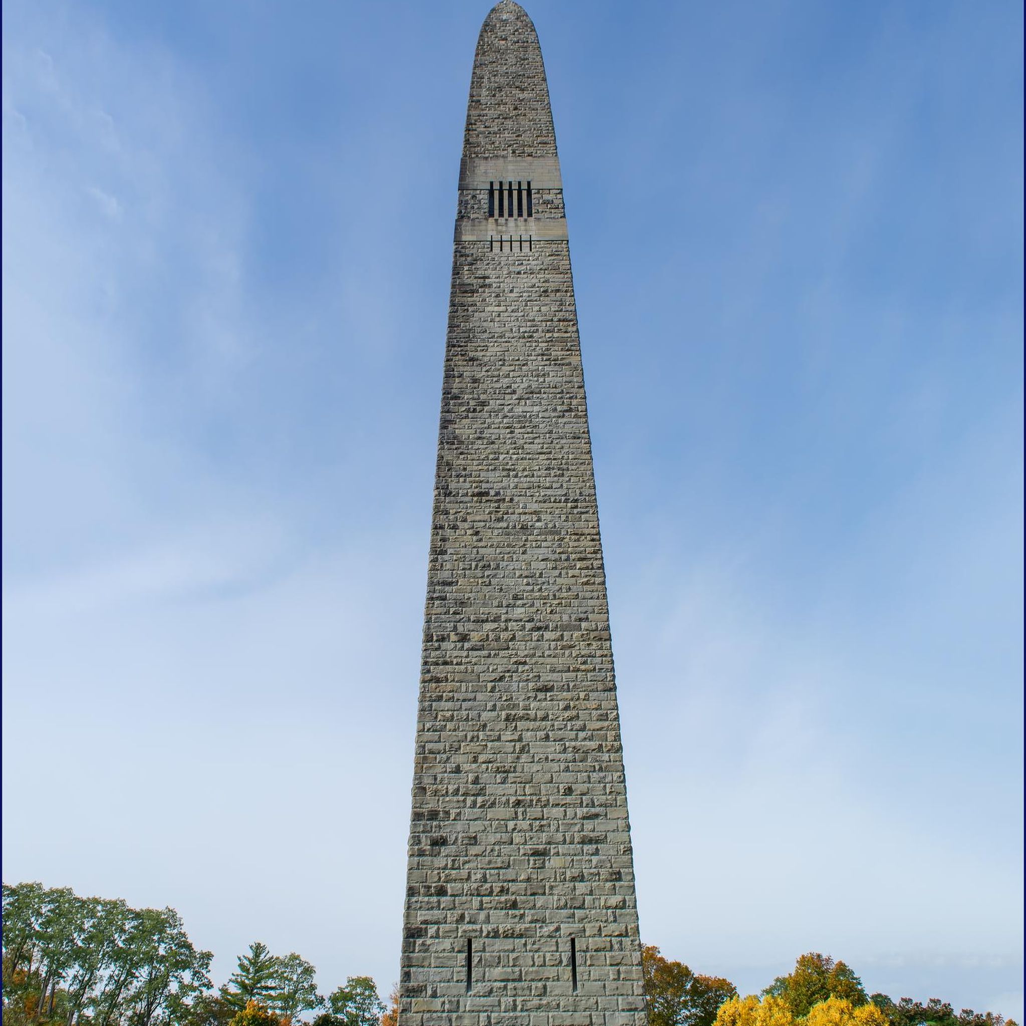
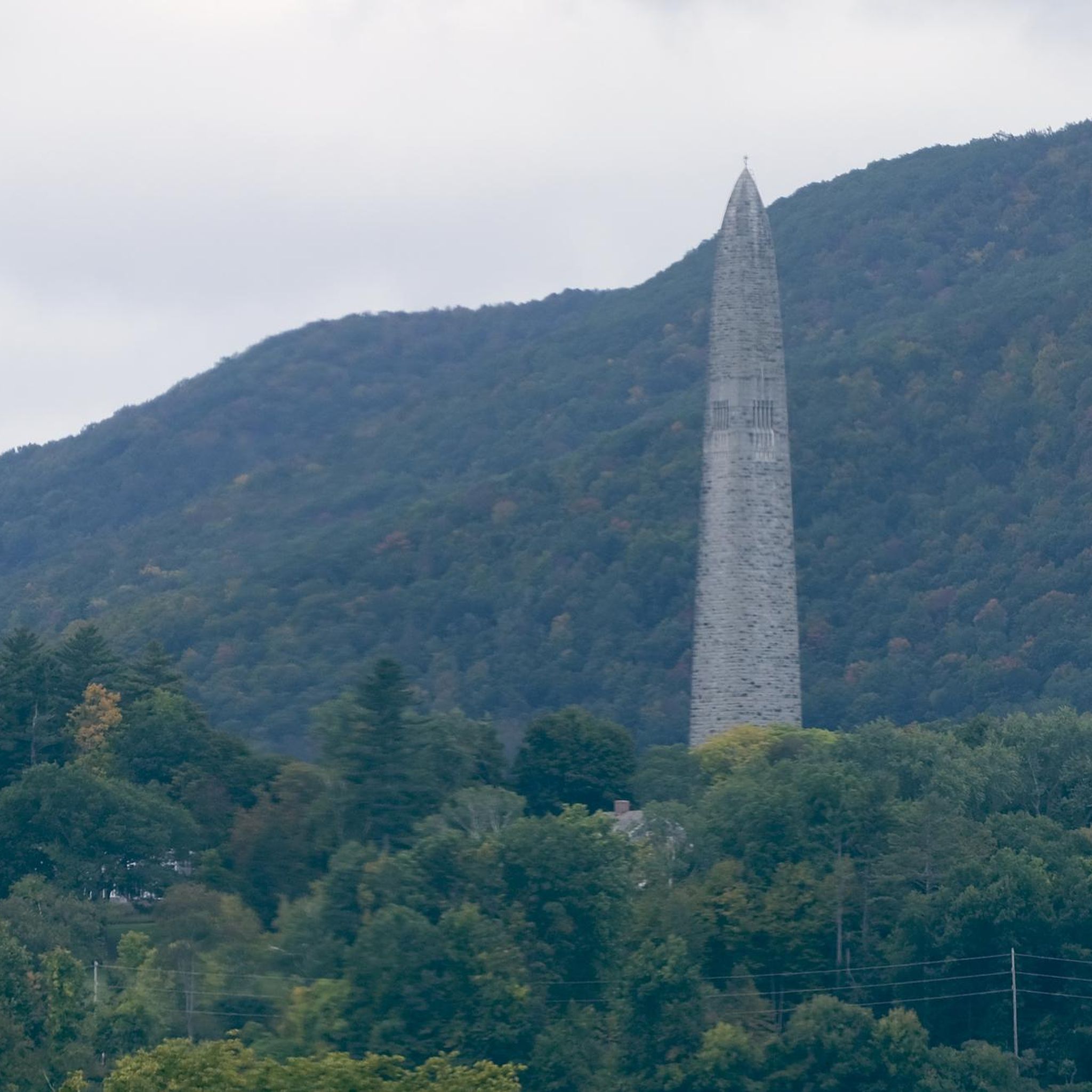
Yes, Old Bennington seamlessly blends natural beauty with historical significance. You can hike near the iconic Bennington Battle Monument, Vermont's tallest man-made structure. The Carriage Road on Mount Anthony offers views of the monument. You might also encounter picturesque structures like the Silk Covered Bridge or the Wooden Footbridge.
What is the best time of year to go hiking in Old Bennington?
The best time to hike in Old Bennington is generally from late spring through fall. Late spring and early summer offer vibrant wildflowers, while autumn provides spectacular fall foliage. Summer is also excellent, though some trails can be busy. Winter hiking is possible, but conditions can be challenging, requiring appropriate gear for snow and ice.
Are there any circular hiking routes in the area?
Yes, several routes in Old Bennington offer a circular experience. The Mile-Around Woods is a popular easy loop. Many trails within the Bennington Area Trail System (BATS) on Mount Anthony also form loops or can be combined for circular walks, allowing you to explore diverse terrain without retracing your steps.
What do other hikers say about the trails in Old Bennington?
The hiking trails in Old Bennington are highly regarded by the komoot community, with an average rating of 4.5 out of 5 stars from over 8 reviews. Hikers often praise the region's diverse terrain, from gentle woodland paths to rewarding climbs, and the blend of natural beauty with historical landmarks.
Can I access the Appalachian Trail or Long Trail from Old Bennington?
Yes, both the Appalachian Trail (A.T.) and the Long Trail (L.T.) co-align and pass within a few miles of historic downtown Bennington. This provides excellent opportunities for both short day hikes and longer excursions onto these renowned national trails. For example, you can experience a section of it on the Harmon Hill via Long Trail (Appalachian Trail) route.
Are there any challenging hikes for experienced hikers?
For experienced hikers seeking a challenge, the region offers more strenuous options. The Harmon Hill and Scrub Hill route, at 13.6 km with significant elevation gain, is rated as moderate but provides a good workout. The Glastenbury Wilderness area, accessible via the A.T./L.T. near Bennington, also presents a rugged landscape for those looking for a more remote and demanding experience.
Is public transport available to reach hiking trailheads?
While public transport options directly to specific trailheads might be limited, Bennington has local bus services that could get you close to certain areas. However, for maximum flexibility and access to a wider range of trails, driving and utilizing designated parking areas is generally recommended.
Where can I find parking for hiking trails in Old Bennington?
Parking is typically available at or near popular trailheads. For trails on Mount Anthony, such as those part of the Bennington Area Trail System (BATS), you'll find designated parking areas. For routes like The Mile-Around Woods, there are specific parking lots. It's always advisable to check the route details on komoot for specific parking information before you head out.
Most popular routes around Old Bennington
Most popular attractions around Old Bennington

Get inspired with the komoot mobile app


Explore more
Browse the best Hikes in other regions.
