The best walks and hikes around Mcnair
4.4
(99)
271
hikers
53
hikes
Hiking around Mcnair offers a network of trails primarily characterized by stream valleys, park loops, and nature paths. The terrain is generally gentle, with minimal elevation changes, making it suitable for casual walks and family outings. The region features a mix of wooded areas and open parklands, providing accessible outdoor experiences.
Best hiking trails around Mcnair
- The most popular hiking route is Sugarland Run Stream Valley Trail, an easy 2.3 miles (3.7 km) trail that takes about 57 minutes…
Last updated: June 29, 2026
1
hikers
3.70km
00:57
10m
20m
The Sugarland Run Stream Valley Trail offers an easy hiking experience, winding alongside the serene Sugarland Run Stream. You will enjoy soothing sounds and picturesque views, largely shaded by lush…
1
hikers
3.23km
00:49
10m
10m
The Stratton Woods Park Loop offers a delightful, easy hike through a blend of lush woodlands and tranquil meadows, providing a quick nature fix right in Reston. This 2.0 miles…

Sign up for free
2.73km
00:42
10m
10m
Hike the easy 1.7-mile Frying Pan Park Nature Trail through diverse woods and wetlands, spotting wildlife and a charming hidden waterfall.
2.42km
00:37
20m
10m
The Horsepen Run Trail offers an easy 1.5-mile hike through diverse woods and along a creek, perfect for a quick nature escape.
4.5
(2)
4
hikers
6.29km
01:36
20m
20m
The Sugarland Run Trail Loop offers a delightful escape into nature, winding alongside the picturesque Sugarland Run stream. You'll experience a varied surface underfoot, from paved sections to natural dirt…
Get access to more routes and recommendations from other explorers.
Sign up for free
Already have an account?
Our route recommendations are based on thousands of hikes, rides, and runs completed by other people on komoot.
Start today with a free account
Your next adventure awaits.
Login or Signup




Tips from the Community

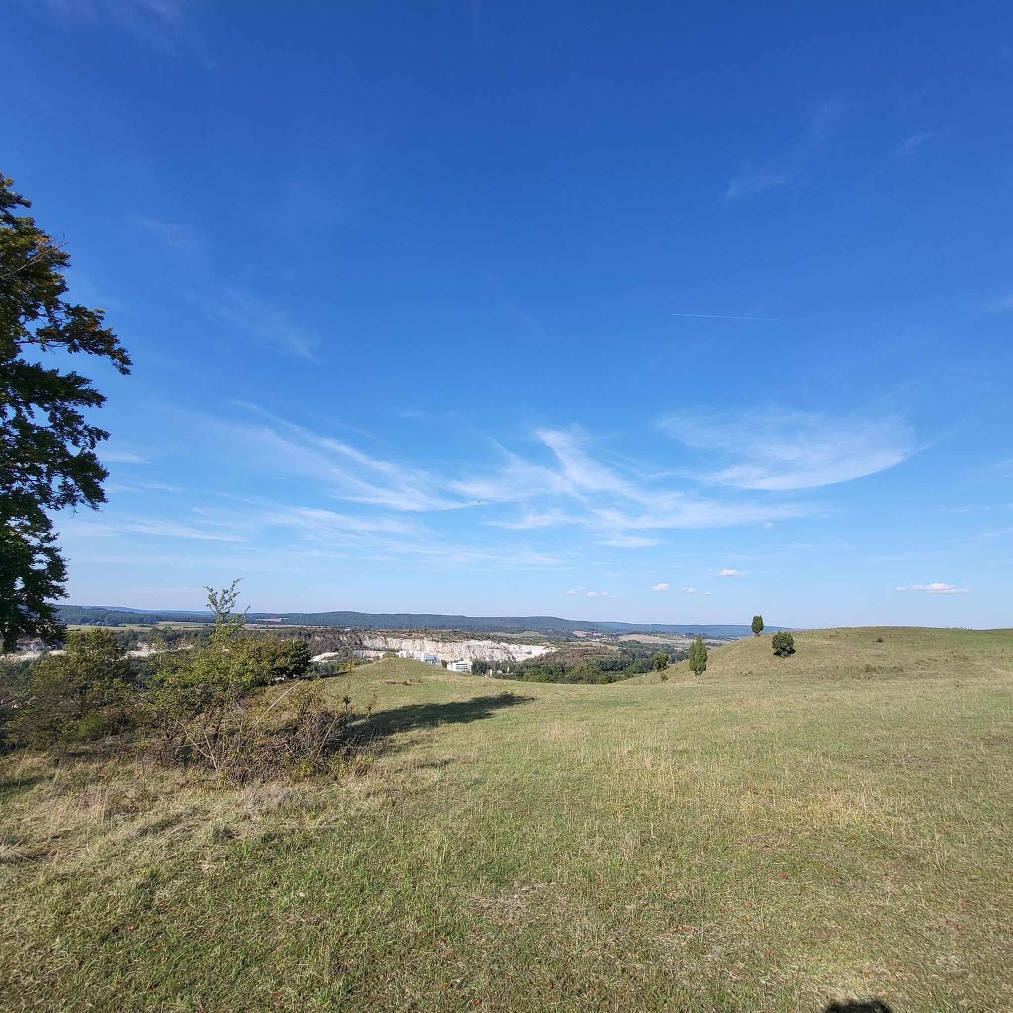
This trail offers a wide variety of terrain, including gravel, pavement, dirt, and grass. Along the way you'll come across multiple bridges that offer picturesque vistas of both Runnymede Park and the Sugarland Run Stream.
0
0
Frequently Asked Questions
How many hiking trails are available around Mcnair?
There are over 50 hiking routes available around Mcnair, offering a variety of experiences from easy strolls to more challenging paths. The area features a network of trails primarily characterized by stream valleys, park loops, and nature paths.
What kind of terrain can I expect on hikes around Mcnair?
The terrain around Mcnair is generally gentle, with minimal elevation changes, making it suitable for casual walks and family outings. You'll find a mix of wooded areas and open parklands, often following stream valleys.
Are there easy hiking options suitable for beginners or casual walkers?
Yes, the majority of trails around Mcnair are considered easy. For example, the Horsepen Run Trail is an easy 2.4 km path, and the Frying Pan Park Nature Trail is another easy option at 2.7 km, leading through natural park areas.
Can I find circular hiking routes in the Mcnair area?
Yes, there are several circular routes available. A popular option is the Sugarland Run Trail Loop, which is an easy 6.3 km path. Another great choice is the Stratton Woods Park Loop, an easy 3.2 km path navigating through parkland.
Are the hiking trails around Mcnair suitable for families with children?
Absolutely. The generally gentle terrain and minimal elevation changes make many trails around Mcnair ideal for families. Parks like Ellanor C. Lawrence Park and McNair Park in St. Charles, Missouri (if you venture further) are known for their family-friendly environments and accessible paths.
Are dogs allowed on the hiking trails in Mcnair?
Many trails in the Mcnair area are dog-friendly, especially those in local parks and stream valleys. It's always recommended to keep dogs on a leash and check specific park regulations before your visit to ensure a pleasant experience for everyone.
What are some natural features or landmarks I might encounter on the trails?
While hiking around Mcnair, you'll primarily encounter natural features like stream valleys and wooded corridors. Some trails, such as those near Great Falls Park, are popular for birding. For nearby landmarks, you might explore the Herndon Caboose Park or the LOVE sign on the Washington & Old Dominion Trail.
Is there parking available at the trailheads?
Parking is generally available at the trailheads and park entrances for most hiking routes around Mcnair. Specific parking details can often be found on individual route pages or park websites.
What is the best time of year to go hiking in Mcnair?
The trails around Mcnair are enjoyable year-round. Spring brings lush greenery, while autumn offers beautiful fall colors, especially in parks like Ellanor C. Lawrence Park. Summer is great for shaded stream valley trails, and winter hiking is possible on clear days.
What do other hikers say about the trails around Mcnair?
The trails around Mcnair are highly rated by the komoot community, with an average score of 4.4 stars from over 20 reviews. Hikers often praise the quiet woodlands, well-maintained paths, and the accessibility of the routes for various skill levels.
Are there any longer or more challenging hikes for experienced hikers?
While many trails are easy, there are options for more experienced hikers. For instance, the Seneca Trails Route is an extreme 32.16-mile trail with over 2,000 feet of elevation gain, featuring a lake. This offers a significant challenge compared to the shorter park loops.
What kind of wildlife might I see while hiking?
The wooded areas and stream valleys around Mcnair are home to various wildlife. Birding is a popular activity on trails like the Great Falls Park - South Loop and Riverbend-Great Falls, so you can expect to see a variety of bird species. Keep an eye out for small mammals as well.
Are there any nearby places to explore after a hike?
After your hike, you can explore nearby attractions such as The Bike Lane Bicycle Shop and Brewery for refreshments, or visit Green Lizard Cycling, Herndon. The Washington & Old Dominion Trail also offers extended cycling and walking opportunities.
Most popular attractions around Mcnair

Get inspired with the komoot mobile app


Explore more
Browse the best Hikes in other regions.
