The 12 Most Amazing Peaks around Zell am Pettenfirst
Best mountain peaks around Zell am Pettenfirst are located in a municipality at 550 meters above sea level within the Hausruckwald forest. This region features a landscape of rolling hills and extensive forest cover, providing access to several notable peaks and scenic viewpoints. The area offers opportunities for hiking and exploring elevated points within the Hausruck region.
Best mountain peaks around Zell am Pettenfirst
- The most popular mountain peaks is Göblberg Observation Tower, a man-made monument that offers views…
Last updated: July 1, 2026
Göblberg Observation Tower
Highlight • Monument
Translated by Google •
Tip by

Lederer Kopf Summit
Highlight • Summit
Translated by Google •
Tip by

Sign up now to discover places like this
Get recommendations on the best single tracks, peaks, & plenty of other exciting outdoor places.
Sign up for free
Geispiel Summit (559 m)
Highlight • Summit
Translated by Google •
Tip by

Hengstberg Summit Cross (883 m)
Highlight • Summit
Translated by Google •
Tip by

Hausruck Ridge High Point
Highlight • Summit
Translated by Google •
Tip by

Sign up for free to discover even more peaks around Zell am Pettenfirst.
Sign up for free
Already have an account?
Start today with a free account
Your next adventure awaits.
Login or Signup
Tips from the Community

Great route with many information boards about the history of Franz and his songs and poems,
0
0

If you are looking for the ultimate view you will unfortunately not find it but it is still beautiful here.
4
0

Great tips and information to make you want to visit this place. Thank you for that!
1
0

ATTENTION: There are also riders on the entire routes and paths in Ampflwang. Please do NOT pass horses at full speed and drive around corners with foresight!
1
0

A slight increase from Eberschwang
0
0

The highest elevation of Vöcklabruck, 559 m.
1
0

According to the map, the summit cross is not on the actual summit
3
0
Fantastic all-round view after 210 steps
3
0
Frequently Asked Questions
What are some of the most popular elevated points and peaks to visit around Zell am Pettenfirst?
Visitors frequently enjoy the Göblberg Observation Tower, which offers expansive views across the region, and the Lederer Kopf Summit, known for its scenic outlooks and summit book. These spots are highly rated by the komoot community for their unique features and rewarding experiences.
Are there any peaks that offer a higher elevation experience in the area?
Yes, the Hengstberg Summit Cross (883 m) provides a higher elevation experience. It's marked by a summit cross and offers a cozy resting place within the forest, making it a significant peak for those seeking a more elevated hike.
What kind of views can I expect from the mountain peaks around Zell am Pettenfirst?
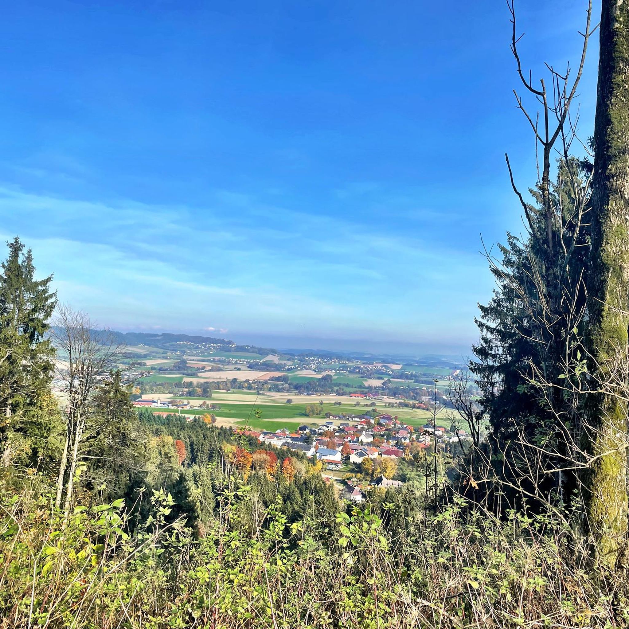
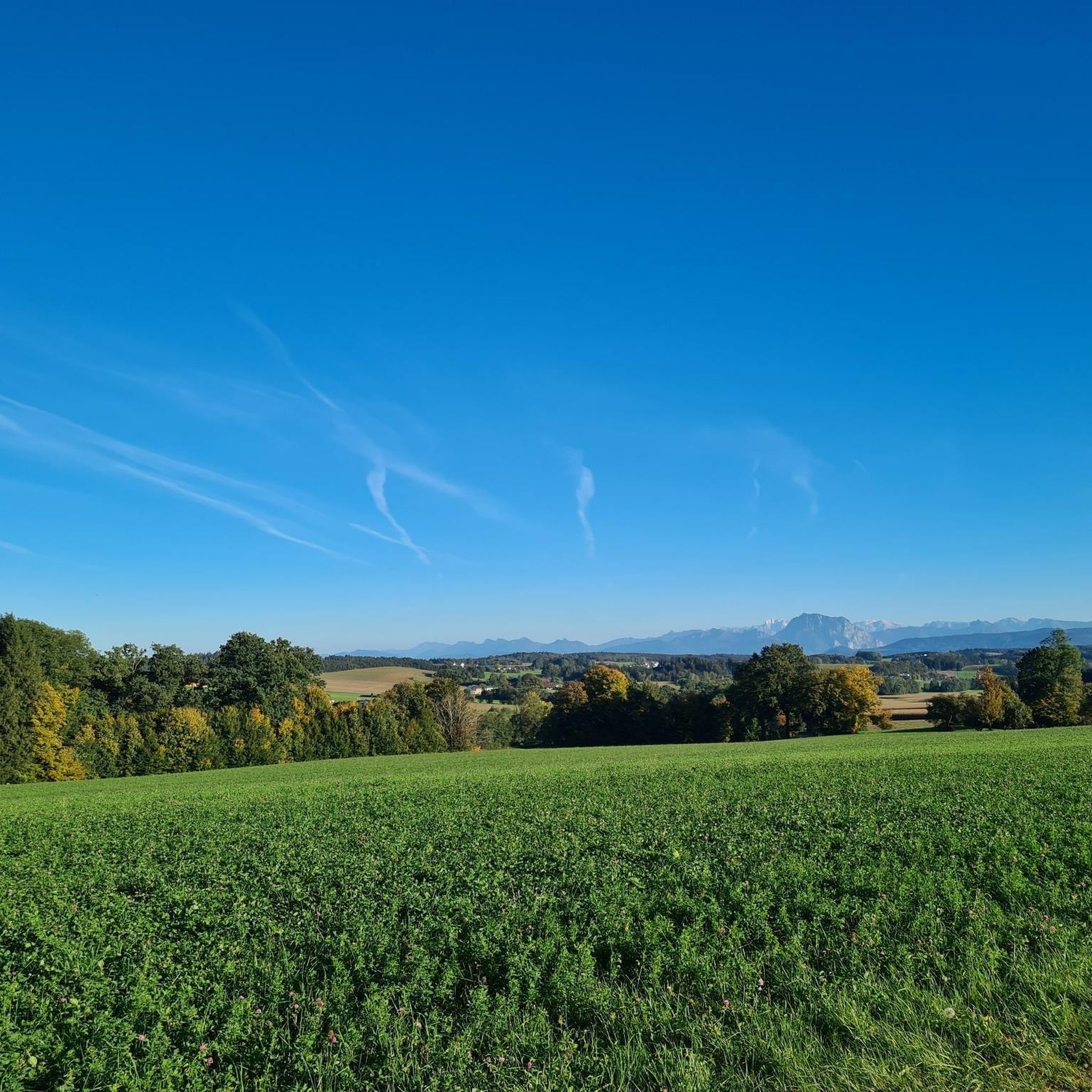
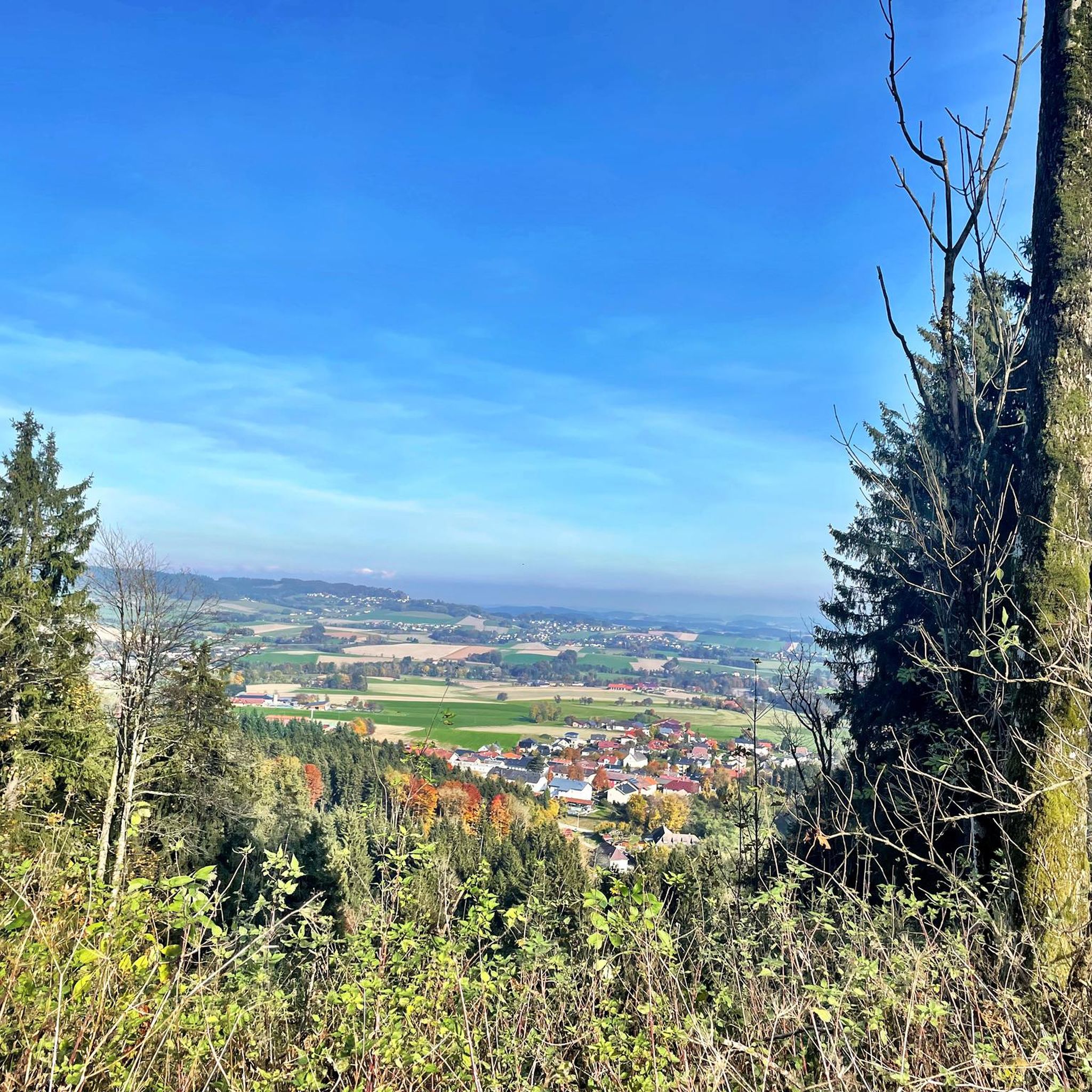
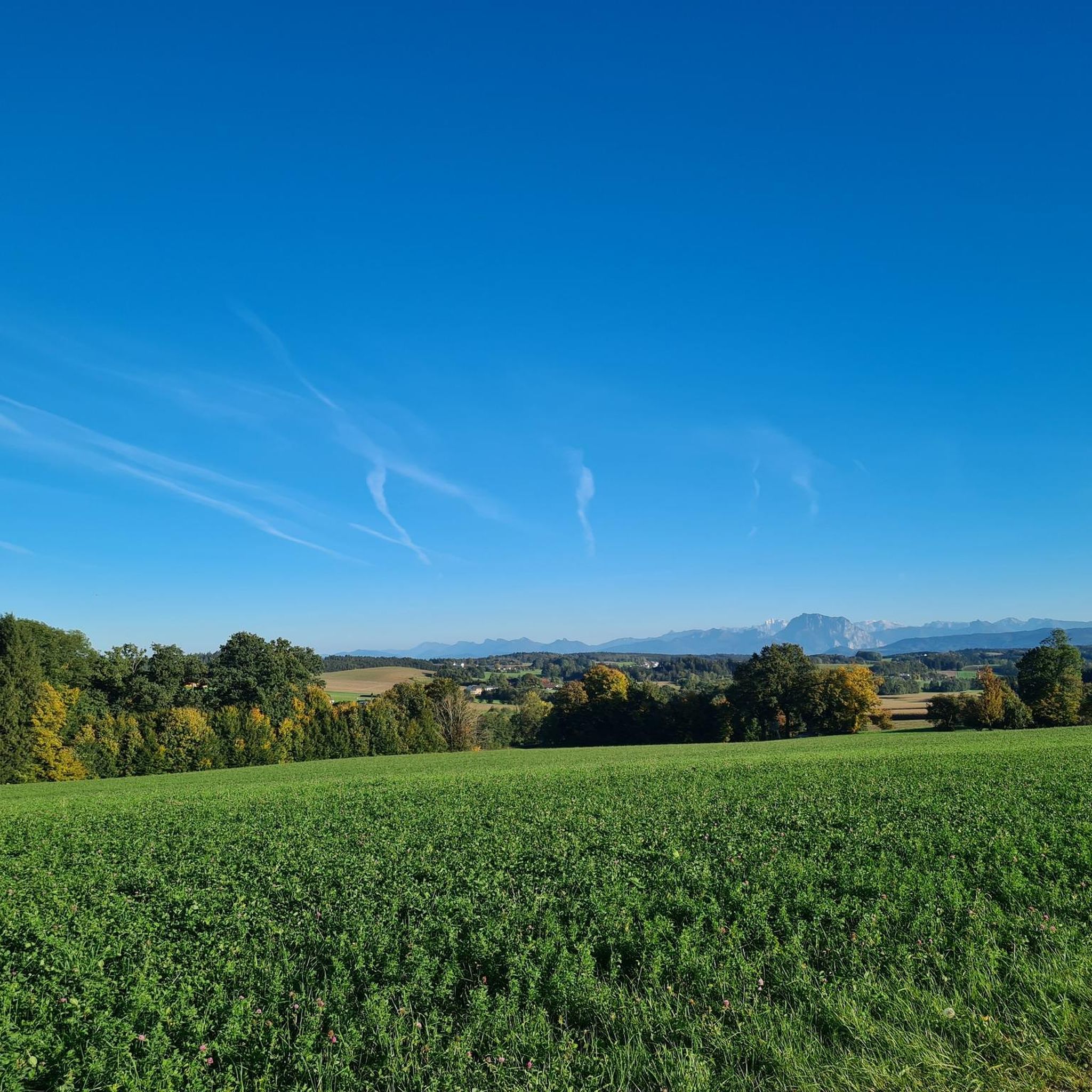
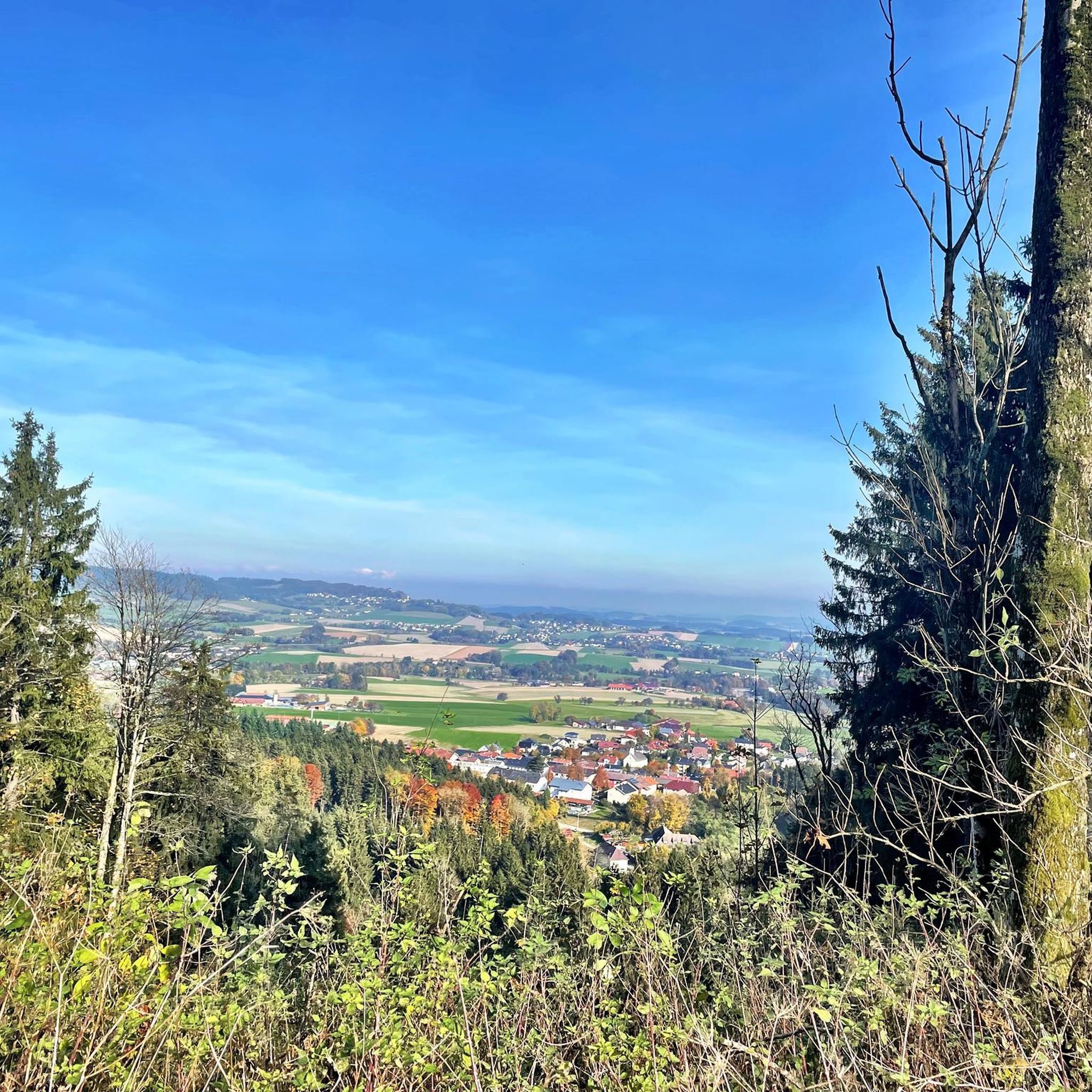
From various elevated points, you can expect stunning views of the surrounding Hausruckwald forest, the rolling hills characteristic of the region, and in good weather, panoramic vistas extending to the Alpine foothills and majestic mountain chains in the background. The Göblberg Observation Tower is particularly noted for its wide-ranging views.
Are there family-friendly hiking options to reach these peaks?
The region offers a variety of hiking trails, and while specific 'family-friendly' categories aren't always assigned to individual peaks, many routes through the Hausruckwald are suitable for different fitness levels. For easy hikes, you can explore options like those found in the Easy hikes around Zell am Pettenfirst guide, which includes routes like the Pettenfristhütte loop.
What is the local mountain of Zell am Pettenfirst?
The local mountain of Zell am Pettenfirst is the Pettenfirst itself, standing at 710 meters. It forms part of the Hausruck ridge and is a readily accessible point of interest, likely offering pleasant hikes through the surrounding Hausruckwald.
What outdoor activities can I do near these mountain peaks?
Beyond hiking to the peaks, the area around Zell am Pettenfirst is excellent for cycling. You can find various routes for touring bicycles in the Cycling around Zell am Pettenfirst guide, or explore road cycling routes in the Road Cycling Routes around Zell am Pettenfirst guide.
Is there a peak that offers a unique feature like a summit book or a special resting spot?
Yes, the Lederer Kopf Summit is known for its 'summit book' where visitors can record their ascent. Additionally, the Geispiel Summit (559 m) features a 'Bankerl' (small bench) and a summit cross, providing a pleasant spot for rest and appreciation of the surroundings.
What is the significance of the Hausruckwald forest in this region?
The Hausruckwald is one of Europe's largest continuous forest areas, defining the landscape around Zell am Pettenfirst with its extensive forest cover and rolling hills. This provides a tranquil setting for recreation and is a prominent natural feature visible from many of the peaks, including the Hausruck Ridge High Point.
What do visitors enjoy most about exploring the peaks around Zell am Pettenfirst?
Visitors particularly enjoy the rewarding views after their ascents, the peaceful immersion in nature within the Hausruckwald, and the well-marked trails. Many appreciate the opportunity to find cozy resting places and the sense of accomplishment from reaching summits, often marked by crosses or summit books.
Are there any specific trails or paths recommended for reaching the Geispiel Summit?
A re-marked path from the city park to Geig, which includes the Geispiel Summit (559 m), makes for an approximately four-hour hike. This trail begins at the 'Blaues Eisen' bridge in the city park and leads to the highest point in Vöcklabruck.
What is the highest point within the range of hills in the foothills of the Alps in this area?
The Göblberg Observation Tower, at 801 meters, is one of the highest points in the range of hills in the foothills of the Alps within the Hausruck region. It offers a significant elevated experience and broad views.
Most popular routes around Zell am Pettenfirst
Most popular attractions around Zell am Pettenfirst

Get inspired with the komoot mobile app


Explore more
See even more amazing summits around Zell am Pettenfirst with these guides:
