The 14 Most Amazing Peaks around Timelkam
Best mountain peaks around Timelkam are situated in a region characterized by rolling hills and proximity to the Alps. This area offers various elevated points and nearby mountains, providing opportunities for hiking and enjoying scenic landscapes in Upper Austria. These locations feature accessible experiences for outdoor activities and panoramic views. The region presents diverse terrain, from gentle ascents to more challenging trails.
Best mountain peaks around Timelkam
- The most popular mountain peaks is Göblberg Observation Tower, a man-made monument…
Last updated: July 7, 2026
Göblberg Observation Tower
Highlight • Monument
Translated by Google •
Tip by

Buchberg summit cross
Highlight • Summit
Translated by Google •
Tip by

Sign up now to discover places like this
Get recommendations on the best single tracks, peaks, & plenty of other exciting outdoor places.
Sign up for free
Geispiel Summit (559 m)
Highlight • Summit
Translated by Google •
Tip by

View of Lake Attersee and the Höllengebirge from Gahberg
Highlight • Viewpoint
Translated by Google •
Tip by

Hongar Summit Cross
Highlight • Summit
Translated by Google •
Tip by

Sign up for free to discover even more peaks around Timelkam.
Sign up for free
Already have an account?
Start today with a free account
Your next adventure awaits.
Login or Signup
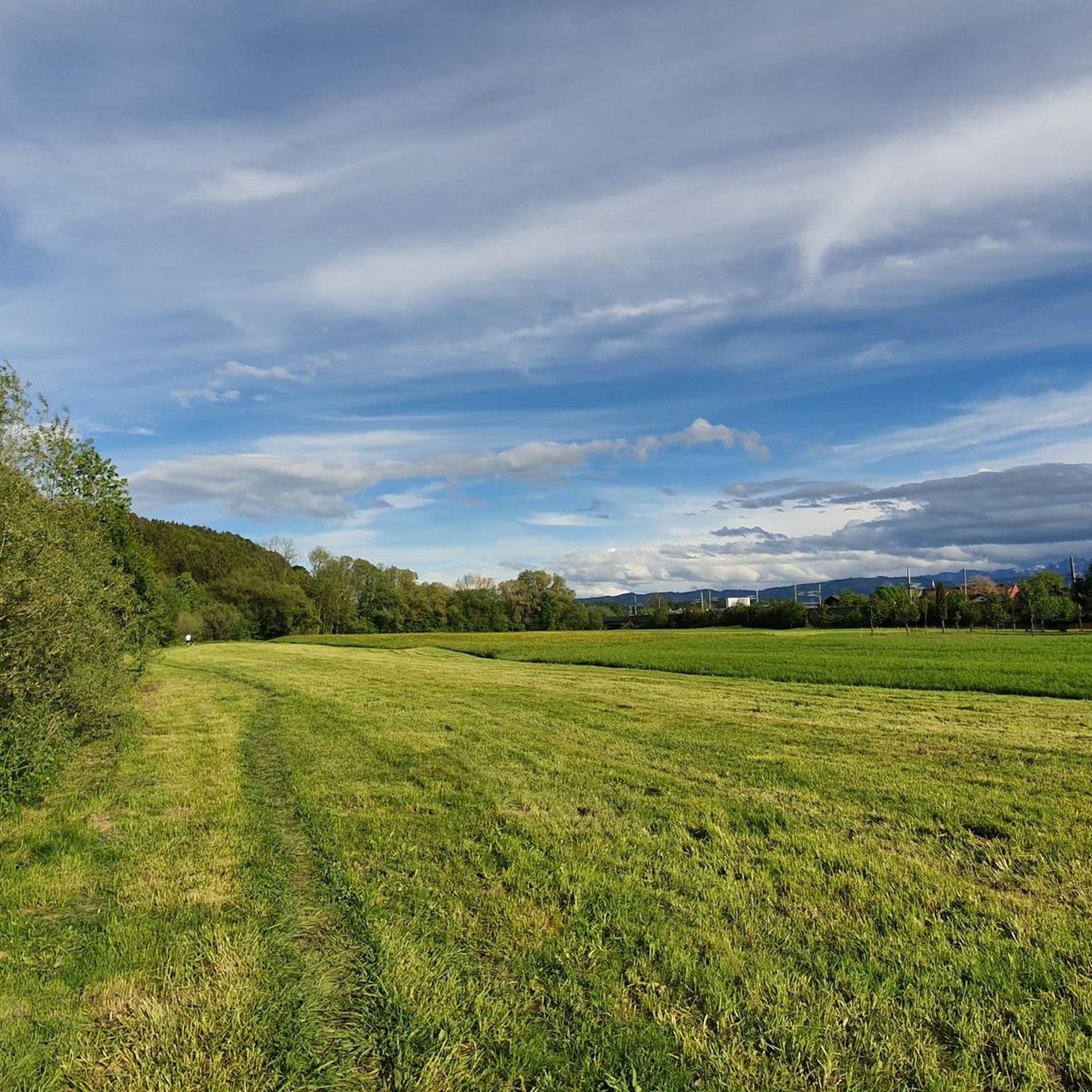
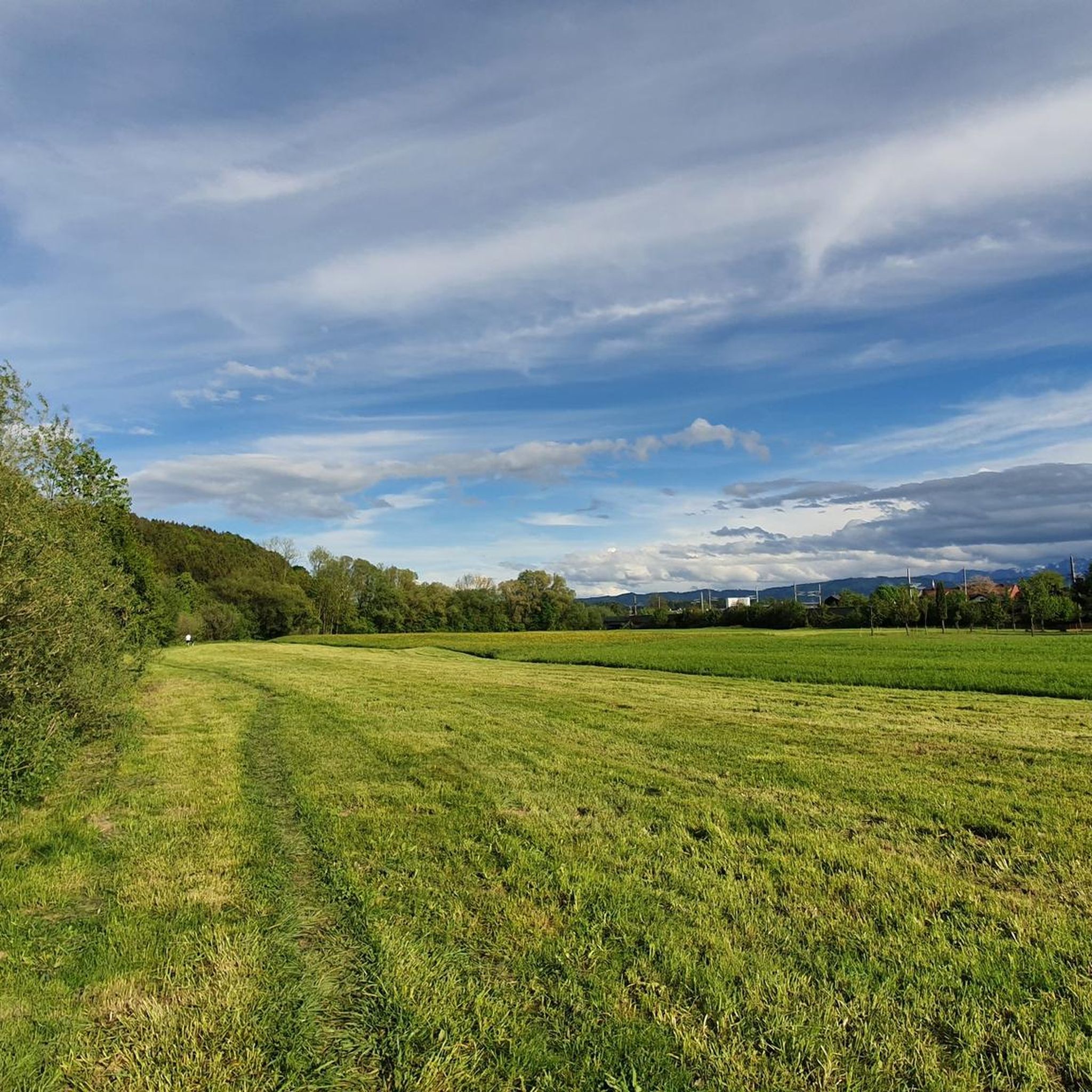
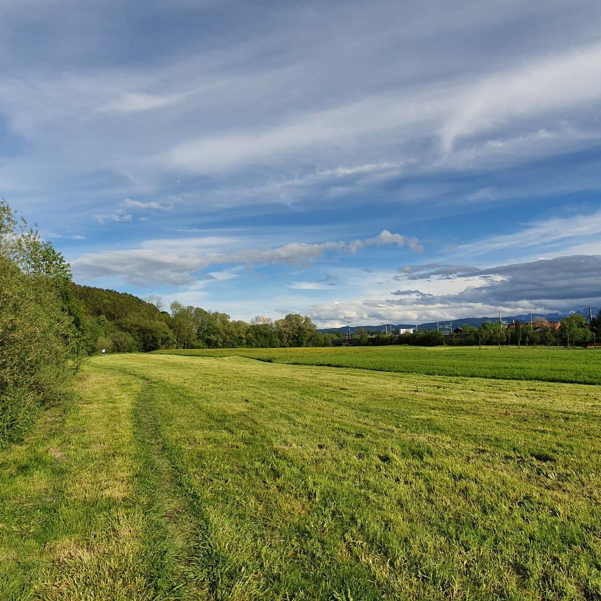
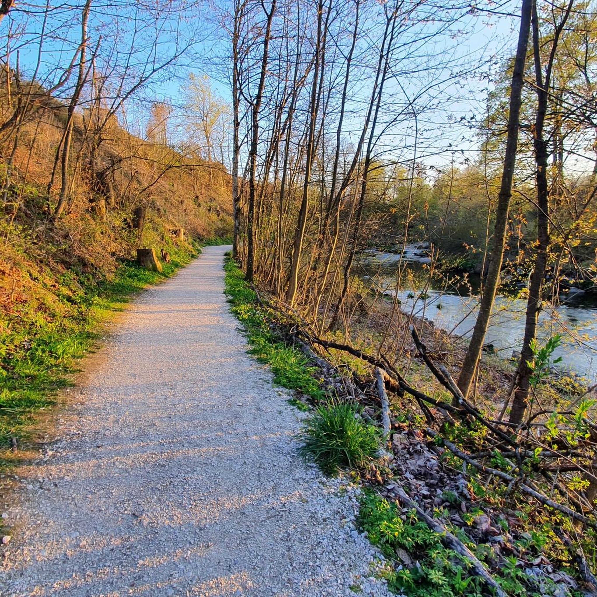
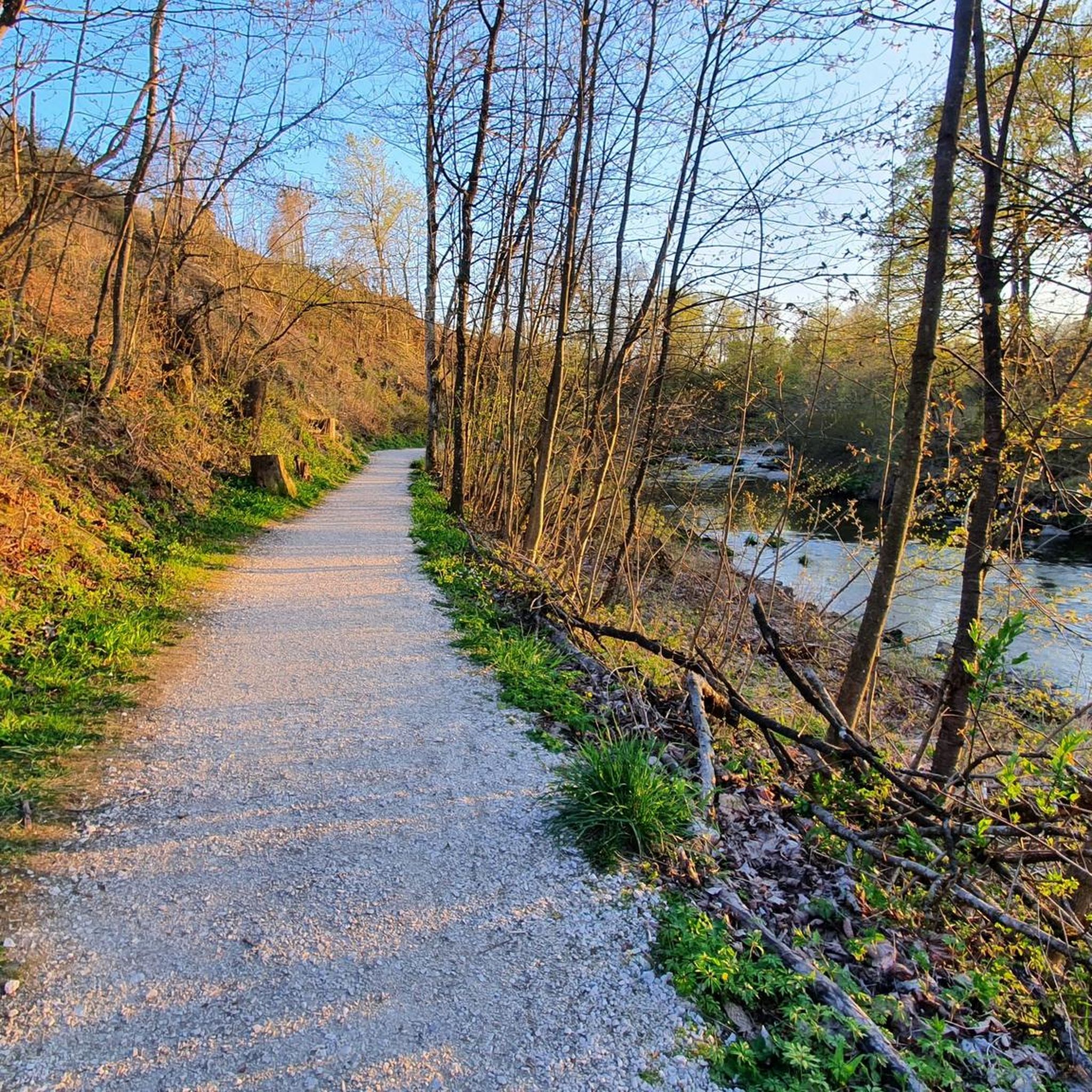
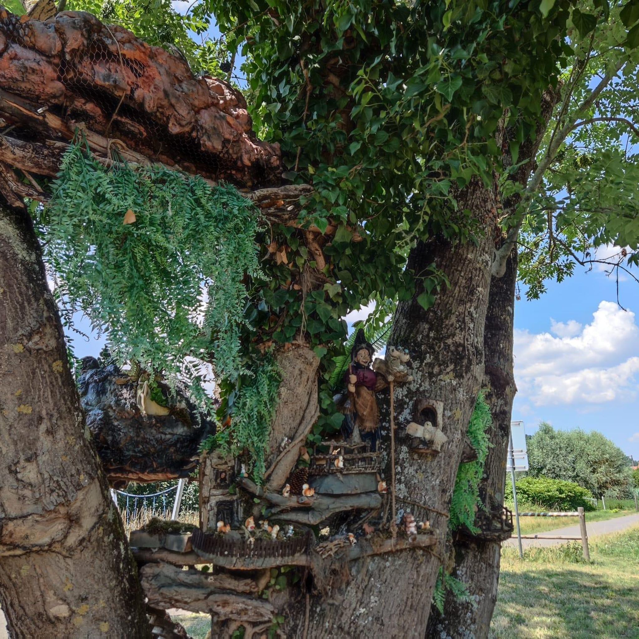
Tips from the Community

ATTENTION: There are also riders on the entire routes and paths in Ampflwang. Please do NOT pass horses at full speed and drive around corners with foresight!
1
0

The highest elevation of Vöcklabruck, 559 m.
1
0
Fantastic all-round view after 210 steps
3
0

Easy forest mountain hike up an amazingly panoramic 808m high hill near Attersee. June 4, 2018
4
1

The destination of the Buchberg adventure forest trail announced in tourist flyers. Good for hiking with children.
0
1

I started from the Altmannsberg settlement and then down over the Bussalm, past Neuwartenburg Castle, over the Wartenburg Bridge and right through the forest path back up to the Altmannsberg settlement. Approx. 2.5 hours
3
0
In 2001, the Kolping family Vöcklabruck designed this beautiful vantage point, which is 559 meters above sea level. It is therefore the highest point in the municipality of Vöcklabruck and offers a wonderful all-round view.
1
0

Frequently Asked Questions
What are the best mountain peaks around Timelkam for panoramic views?
For expansive views, consider the Göblberg Observation Tower, which offers vistas across Upper Austria, including the Innviertel and Salzkammergut. The Buchberg summit cross provides beautiful views of Lake Attersee, while the Hongar Summit Cross offers picturesque views to both the north and south. Additionally, the View of Lake Attersee and the Höllengebirge from Gahberg provides a stunning panoramic outlook.
Are there family-friendly mountain peaks or trails around Timelkam?
Yes, the Buchberg summit cross is considered family-friendly, with an ascent to the summit taking only about 30 minutes. The Buchberg also features an adventure forest trail, making it suitable for families with children. Many of the local elevated points offer accessible experiences for enjoying nature.
What kind of terrain can I expect on trails around Timelkam's mountain peaks?
The region around Timelkam features diverse terrain. You'll find trails ranging from gentle ascents through rolling hills to more moderately challenging paths leading to summits. Many routes, such as those to Geispiel Summit (559 m), traverse forests and offer a mix of natural paths and well-maintained trails.
What hiking opportunities are available near Timelkam's mountain peaks?
There are numerous hiking opportunities. For easy walks, explore routes like the Bussal Alm Viewpoint loop or the Timelkamer Au loop, which you can find in the Easy hikes around Timelkam guide. For more challenging ascents, consider the Mountain Hikes around Timelkam guide, which includes routes with beautiful views of Lake Attersee.
What is the best season to hike the mountain peaks around Timelkam?
The region is enjoyable for hiking almost all year round. Spring and autumn offer pleasant temperatures and vibrant scenery. While some areas like Gahberg are best visited in winter to protect forage meadows, most trails are accessible throughout the warmer months. Always check local conditions before heading out.
Are there options for winter hiking near Timelkam's peaks?
Yes, winter hiking is possible in some areas. For instance, the view from the path below Gahberg, which leads to Weyregg, is particularly beautiful in winter. Always ensure you have appropriate gear and check weather conditions before embarking on a winter hike.
Where can I find parking at trailheads for Timelkam's mountain peaks?
Specific parking information varies by trailhead. For popular spots like Geispiel Summit (559 m), routes often start from accessible points like the city park in Vöcklabruck. It's advisable to check the specific tour details on komoot for parking suggestions at individual starting points.
Are there cafes or pubs near the mountain trails around Timelkam?
While specific cafes directly at every trailhead might be limited, the towns and villages surrounding the peaks, such as Timelkam itself or Vöcklabruck, offer various options for refreshments. Some summit areas, like the Hongar Summit Cross, have small huts nearby where you might find a place to rest.
What natural features can I expect to see when visiting the peaks around Timelkam?
You can expect to see expansive views of picturesque landscapes, including rolling hills, green meadows, and glimpses of the distant Alps. Many peaks offer views of Lake Attersee, and trails often lead through dense forests and along small streams, providing a rich natural experience.
What do visitors enjoy the most about the mountain peaks around Timelkam?
Visitors frequently praise the impressive panoramic views, especially from locations like the Göblberg Observation Tower and Buchberg summit cross. The tranquility of nature, the variety of hiking opportunities, and the accessibility of many spots for shorter excursions are also highly appreciated.
Are there any hidden gem hiking spots around Timelkam's mountain peaks?
While not widely publicized, the Hausruck region, a bit further afield, offers spectacular views over the Salzkammergut and features a variety of routes through dense forests and along small streams, providing a less crowded experience for mountain biking and hiking.
How long does it typically take to hike to the summits around Timelkam?
Hiking times vary depending on the peak and your starting point. For example, the ascent to the Buchberg summit cross is relatively quick, taking about 30 minutes. A circular route to Geispiel Summit (559 m), including the return, takes approximately four hours. Always check specific route details for estimated durations.
Most popular routes around Timelkam
Most popular attractions around Timelkam

Get inspired with the komoot mobile app


Explore more
See even more amazing summits around Timelkam with these guides:
