The best road cycling routes around Tumwater
4.8
(27)
366
riders
45
rides
Road cycling around Tumwater offers a compelling blend of natural beauty and well-maintained routes. The region features diverse landscapes, including the Deschutes River, scenic viewpoints from Tumwater Hill, and extensive forested areas. A network of dedicated trails, such as the Chehalis Western Trail, provides varied terrain from flat, paved paths to routes with moderate elevation changes. This infrastructure supports a range of cycling experiences across the area.
Best road cycling routes around Tumwater
- The most popular road cycling route is…
Last updated: October 2, 2026
5.0
(1)
4
riders
58.7km
02:32
360m
360m
Cycle 36.5 miles (58.7 km) from Olympia to the Mima Mounds, a moderate road cycling route featuring unique geological formations.
4.0
(2)
25
riders
38.2km
01:41
170m
170m
Easy road ride. Great for any fitness level. Mostly well-paved surfaces and easy to ride.

5.0
(2)
19
riders
Moderate road ride. Good fitness required. Some segments of this route may be unpaved and difficult to ride.
5.0
(1)
23
riders
29.2km
01:34
260m
260m
Easy road ride. Great for any fitness level. Mostly well-paved surfaces and easy to ride.
Get access to more routes and recommendations from other explorers.
Already have an account?
Our route recommendations are based on thousands of hikes, rides, and runs completed by other people on komoot.
Start today with a free account
Your next adventure awaits.


Tips from the Community

This is a great cafe/pub with a lovely patio, serving breakfast, lunch, and dinner. It's a fantastic spot to relax after a ride and sip on one of their signature brews, wines, or handcrafted spirits and snack on some delicious Cajun tots, a McMenamins staple.
0
0
This road offers an incredible perspective of the East Bay. As you ride along this stretch, you can see the beautiful marina along the shoreline across the water.
0
0

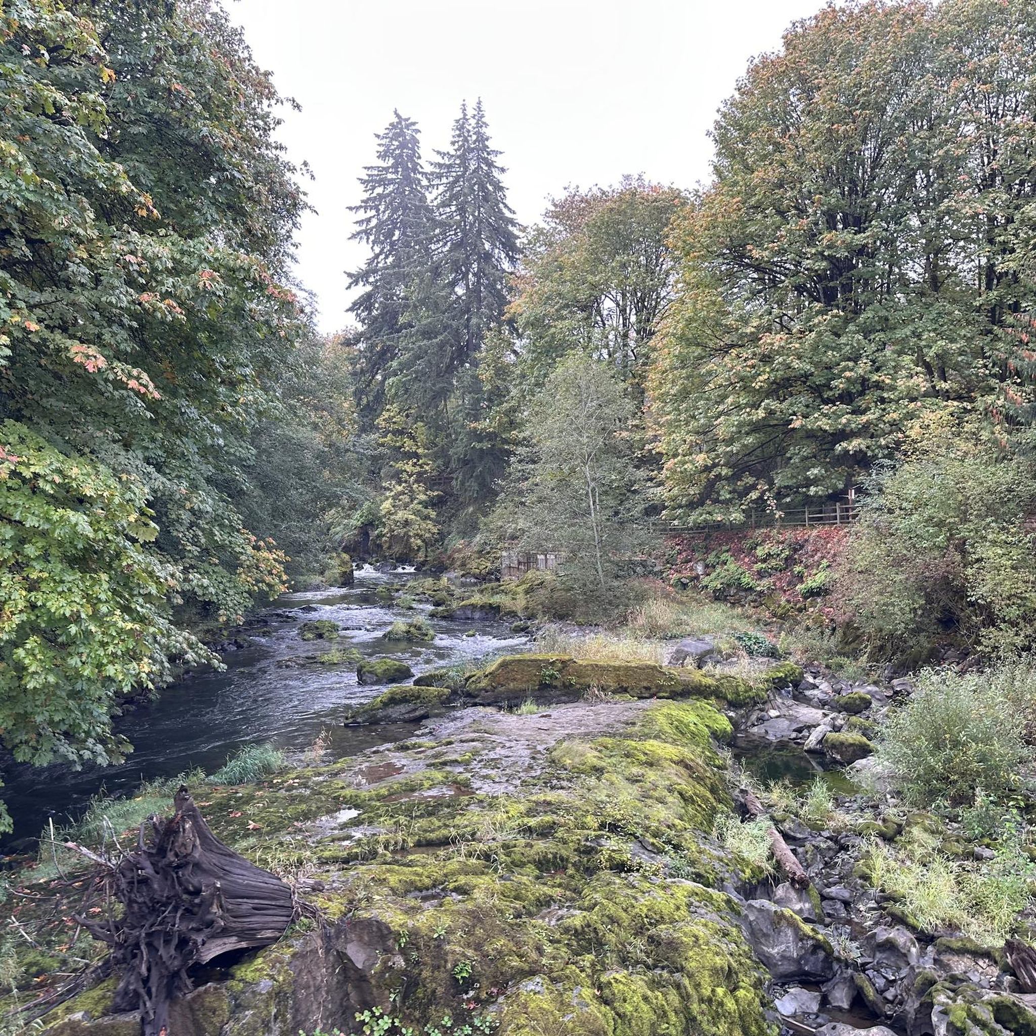
Side trail unpaved is a spot to rest in the shade
0
0
Short off-trail spot with 2 levels of benches to view the kettle pond, now with mass lillies covering most of it.
2
0

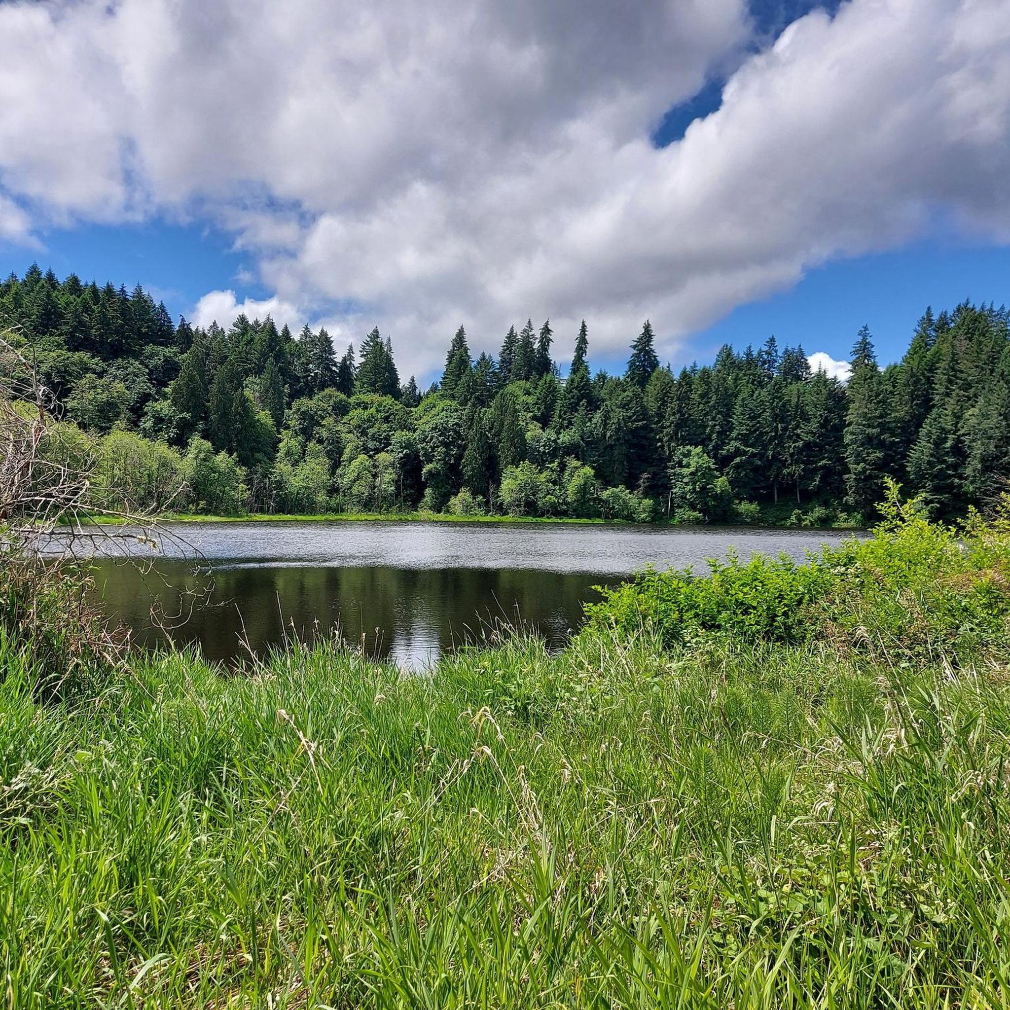
All told this mostly paved multi-use trail runs about 22 miles, from Woodard Bay in the north to Vail in the south. This part of the trail is particularly pretty as it runs past Chambers Lake. If you need to log a lot of relatively flat miles, this is the place to do it.
1
0
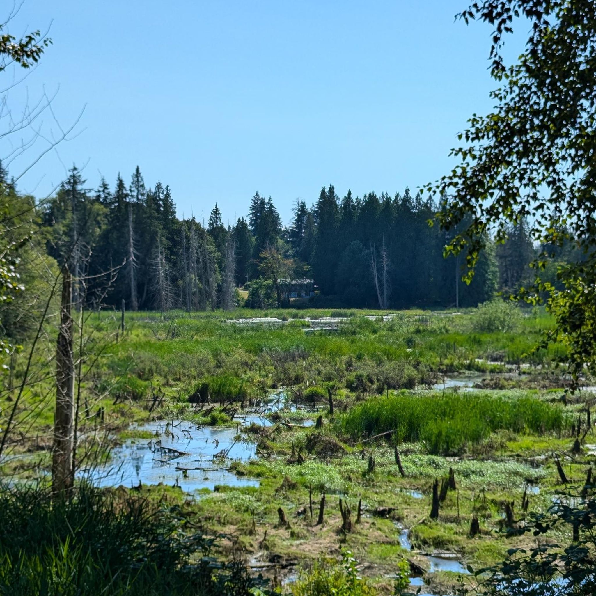
Nestled between Dayton Street and the Karen Fraser Woodland Trail, Dmiller Lake is adjacent to Taylor Wetlands. This small yet beautiful lake is home to various waterfowl, including Ring-necked Ducks, Mallards, and Great Blue Herons. While you're here, listen for Song Sparrows and robins singing in the trees. It's the perfect spot to take a break and enjoy the tranquil scenery amongst the towering cedar and maple trees.
0
0

Chehalis Western Trail is a 22-mile paved trail that offers a family-friendly ride. It was once the site of a railroad that transported logged trees from Vail to Woodard Bay.
0
0

This 2.5-mile crushed rock trail, at a width of 10 feet, provides ample space for hikers, runners, and bikers. Along the way, you'll find benches, restrooms, and a diverse array of native trees and plants.
0
0
Frequently Asked Questions
How many road cycling routes are available in Tumwater?
Tumwater offers over 50 road cycling routes, catering to various skill levels. You'll find a good mix, with 21 easy routes, 28 moderate routes, and a challenging option for experienced cyclists.
What kind of terrain can I expect on road cycling routes around Tumwater?
The region provides diverse terrain, from flat, paved paths ideal for leisurely rides to routes with moderate elevation changes. You'll encounter scenic urban waterfronts, rural forested areas, and quiet roadways, ensuring a varied cycling experience.
Are there any easy road cycling routes suitable for beginners or families?
Yes, Tumwater has 21 easy road cycling routes perfect for beginners or families. A great option is the McMenamins Spar Café – Squaxin Park loop from Capital High School, an easy 19.0-mile path offering scenic views near the water and through urban areas. The Chehalis Western Trail, a 22-mile paved trail, is also known for being family-friendly.
Are there road cycling routes with scenic viewpoints or landmarks?
Absolutely. Many routes offer rewarding vistas. Tumwater Hill provides panoramic views of Budd Inlet, the state capitol dome, Capitol Lake, and even Mount Rainier on clear days. You can also explore routes that pass by the Mima Mounds Natural Area Preserve or the Capitol Lake.
Can I find circular road cycling routes in Tumwater?
Yes, many road cycling routes in Tumwater are designed as loops, allowing you to start and end at the same point. For example, the Loop from Olympia to the Mima Mounds is a popular 36.5-mile circular route exploring unique geological formations.
What attractions can I see along the road cycling routes?
Beyond the cycling itself, you can discover several attractions. Routes often pass by natural features like Capitol Lake, the Deschutes River, and the Mima Mounds Natural Area Preserve. You might also encounter the Chehalis Western Trail, a former railway line, or the Karen Fraser Woodland Trail Wetlands.
What is the best time of year for road cycling in Tumwater?
Tumwater is enjoyable for road cycling through much of the year. The region's diverse landscapes are beautiful in spring and fall, while summer offers warmer, drier conditions. The annual salmon run at Tumwater Falls from late August to early October can be a unique sight if your ride takes you near the Deschutes River.
Where can I park when going for a road bike ride in Tumwater?
Many parks and trailheads in Tumwater and the surrounding areas offer parking facilities. For routes incorporating the Chehalis Western Trail, various access points along its 22-mile length typically have parking. City parks like Pioneer Park and Historical Park also provide convenient parking for accessing nearby trails.
What do other cyclists say about road cycling in Tumwater?
The road cycling routes in Tumwater are highly rated by the komoot community, with an average score of 4.6 stars from over 23 reviews. Cyclists often praise the varied scenery, from urban waterfronts to rural forested areas, and the well-maintained network of trails and cycleways.
Are there any routes that specifically follow the Chehalis Western Trail?
Yes, the Chehalis Western Trail is a major highlight for cyclists in the area. This 22-mile paved trail follows a former railway route and is incorporated into several loops, offering a family-friendly ride through diverse landscapes. While not explicitly listed in the top routes, you can find many tours on komoot that utilize this popular trail.
Are there moderate road cycling options for more experienced riders?
Yes, Tumwater offers 28 moderate road cycling routes. The Washington State Capitol – Taylor Wetlands and Side Trail loop from Olympia is a 43.3-mile moderate trail leading through varied scenery, including the State Capitol and wetlands, often completed in about 3 hours 37 minutes.
How can I access road cycling routes using public transport?
Tumwater and Olympia have public transport options that can help you access various cycling routes. Intercity Transit operates bus services throughout the area, and many buses are equipped with bike racks, allowing you to reach trailheads or start points conveniently. Check local transit schedules for specific route planning.
Most popular routes around Tumwater
Most popular attractions around Tumwater

Get inspired with the komoot mobile app


Explore more
Browse the best Road cycling routes in other regions.
