The best running trails around Buckley
40
runners
5
runs
Jogging routes around Buckley offer diverse landscapes, from green spaces and recreational pathways to woodlands and open farmland. The region provides access to trails along the Carbon River and White River, with many routes offering views of Mount Rainier. These paths cater to various preferences, including sections of the multi-use Foothills National Recreation Trail.
Best jogging routes around Buckley
- The most popular jogging route is Rest Stop by the Carbon River – Foothills Trail loop from South Prairie, a…
Last updated: August 21, 2026
16
runners
31.4km
03:15
140m
140m
Hard run. Very good fitness required. Mostly paved surfaces. Suitable for all skill levels.
7
runners
15.1km
01:34
80m
80m
Hard run. Very good fitness required. Mostly paved surfaces. Suitable for all skill levels.

Sign up for free
5
runners
10.8km
01:07
50m
50m
Moderate run. Good fitness required. Mostly paved surfaces. Suitable for all skill levels.
6
runners
5.13km
00:32
30m
30m
Moderate run. Good fitness required. Mostly paved surfaces. Suitable for all skill levels.
6
runners
3.11km
00:36
270m
270m
Moderate run. Good fitness required. Mostly paved surfaces. Suitable for all skill levels.
Our route recommendations are based on thousands of hikes, rides, and runs completed by other people on komoot.
Start today with a free account
Your next adventure awaits.
Login or Signup
Popular around Buckley
Tips from the Community

The Foothills Trail is a mostly paved 21-mile path from Puyallup toward Mount Rainier, perfect for walking, biking, and horseback riding. Enjoy views of Mount Rainier, wildlife, and historic sites like Melmont ghost town. Multiple access points make it easy to explore sections at your pace.
1
0

Love this bridge. Would love it more if the trail actually crossed over the old broken bridge just one tenth of a mile farther north...
0
0

This is a fantastic viewpoint along the river, and the paved section of trail here is easily done on a road bike.
0
0

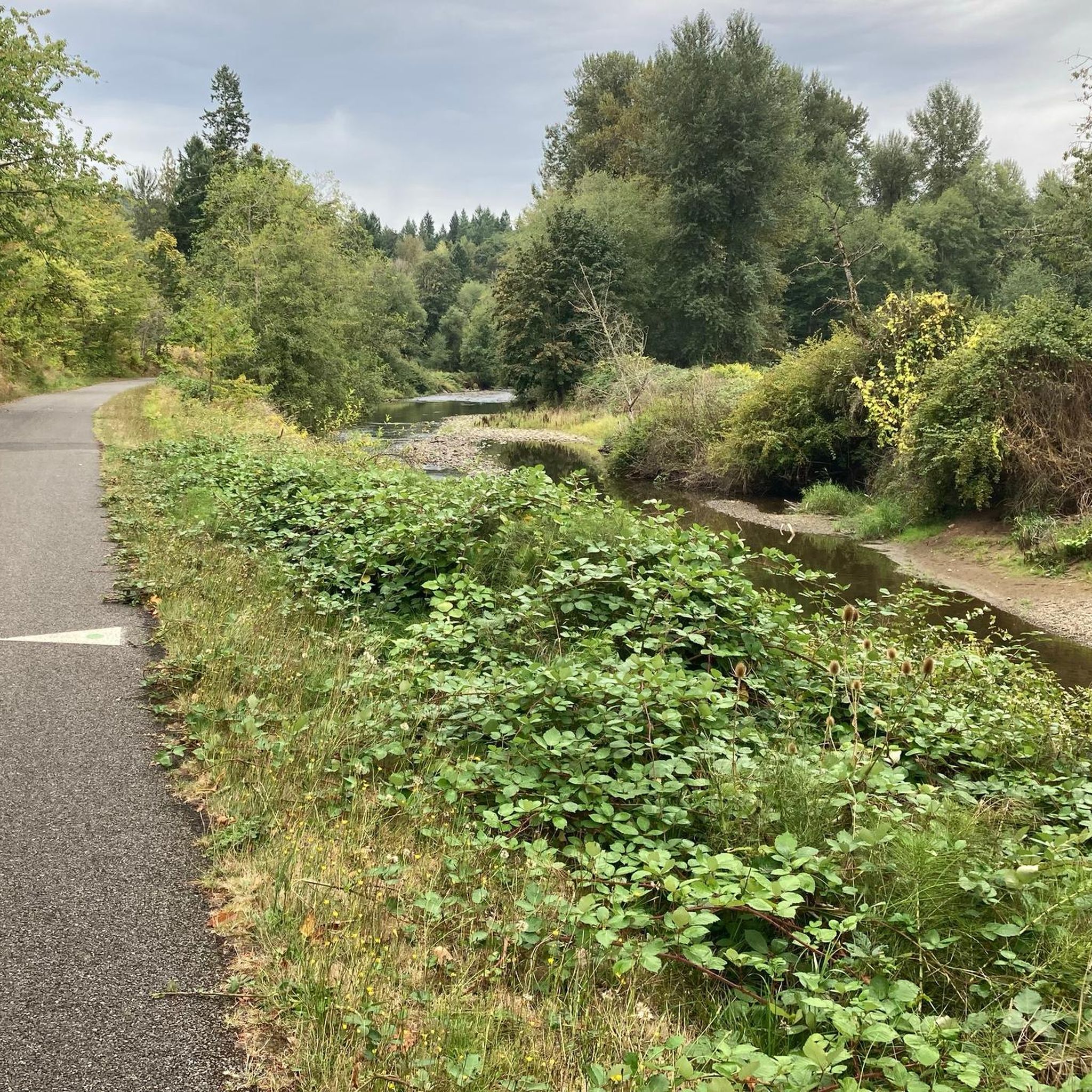
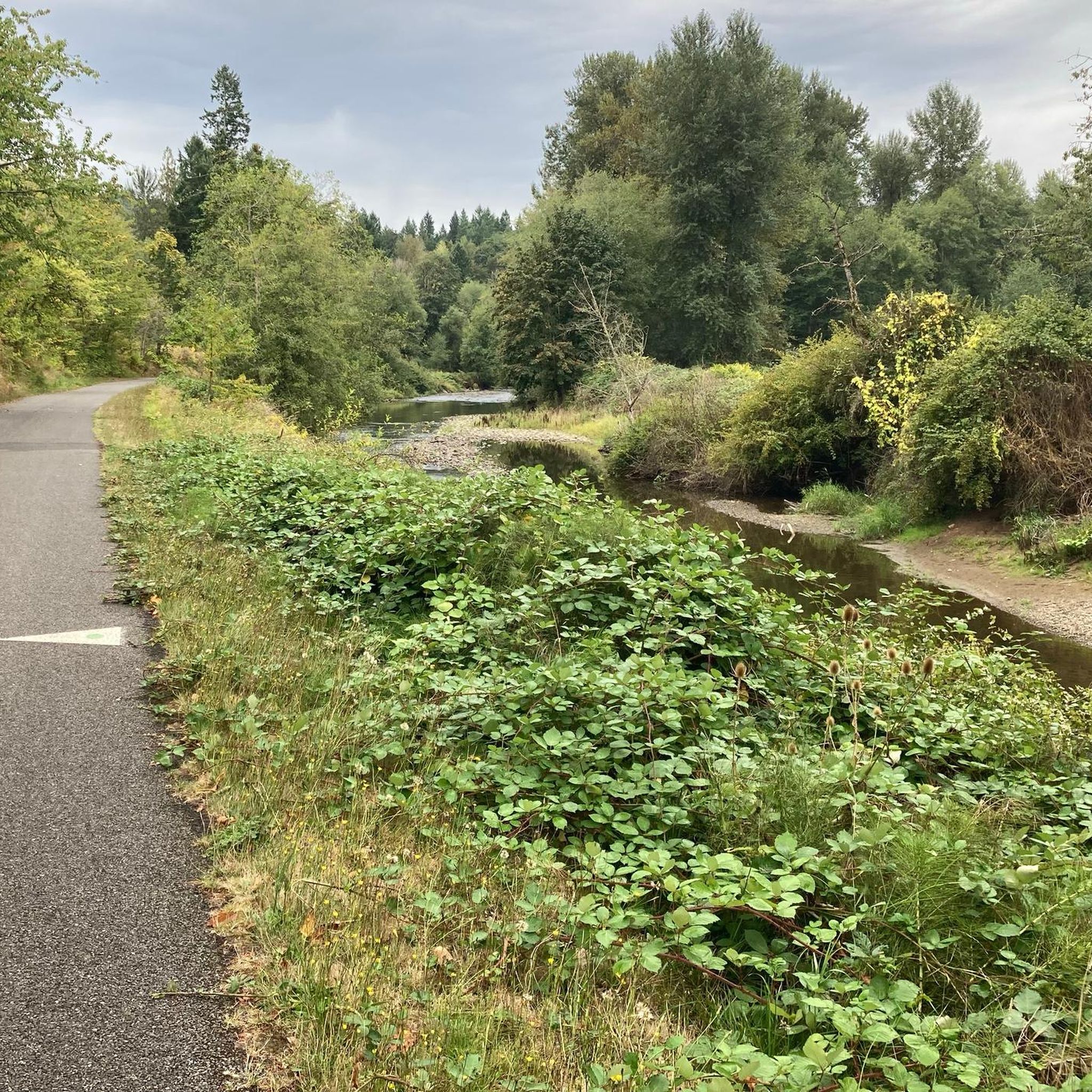
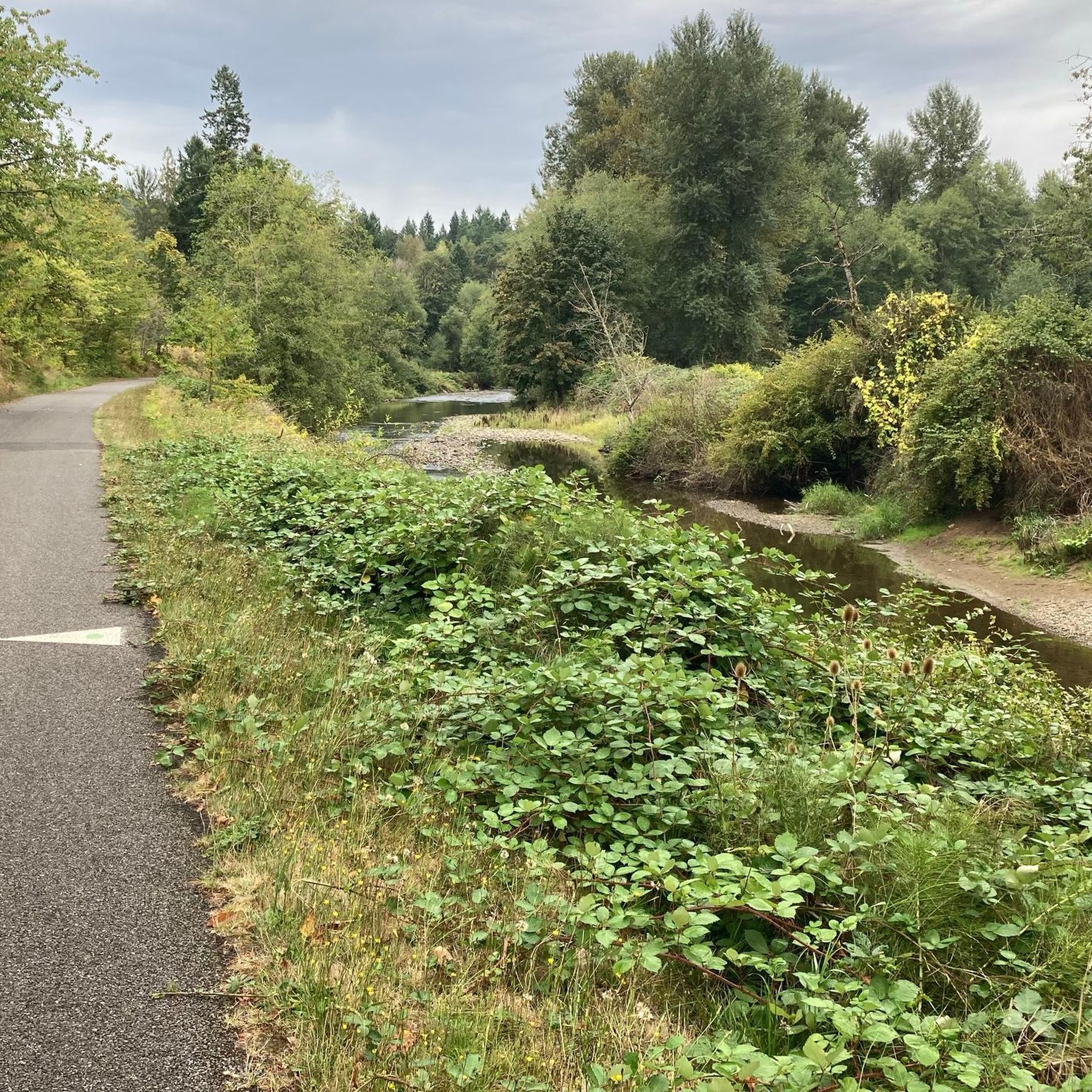
The Foothills Trail parallels the Carbon River for many miles, but your view is often obscured by foliage. Here you get a clear view of the river from the trail, as well as the verdant flora overhanging its banks.
0
0

Pinnacle Peak offers a really nice scenery in any weather, but for the best views of majestic peaks like Mt. Rainier, visit on a clear sunny day.
0
0

A lovely curved wooden bridge that is just gorgeous and naturey
1
0

There is a picnic table and primitive campfire here. Great views of the river. Good spot for a snack.
0
0
Frequently Asked Questions
How many running routes are available around Buckley?
Komoot offers 6 diverse running routes around Buckley, catering to various fitness levels and preferences. These routes allow you to explore the region's natural beauty, from river trails to scenic loops.
What kind of terrain can I expect on jogging routes near Buckley?
The jogging routes around Buckley feature a mix of terrain. Many paths, like sections of the Foothills National Recreation Trail, are paved and multi-use, ideal for smooth running. Other routes may include forest landscapes and recreational pathways, offering varied surfaces. For example, the Rest Stop by the Carbon River – Foothills Trail loop from South Prairie combines paved sections with natural surroundings.
Are there any family-friendly jogging paths in Buckley?
Yes, Buckley offers options suitable for families. The Foothills National Recreation Trail, with its mostly paved and multi-use path, is an excellent choice for a leisurely family jog. Routes like the Running loop from South Prairie offer a moderate distance and elevation, making them accessible for many.
Can I find dog-friendly running trails in the Buckley area?
Many of the outdoor trails in and around Buckley are dog-friendly, especially those that are multi-use paths like the Foothills National Recreation Trail. It's always a good idea to keep your dog on a leash and check local regulations for specific trail sections. Enjoy a run with your canine companion through the green spaces and recreational pathways.
Are there routes with scenic viewpoints or landmarks?
Absolutely! Buckley's location provides stunning views, particularly of Mount Rainier, from various points along its trails. The region is characterized by green spaces, woodlands, and the Carbon and White Rivers. The Pinnacle Peak loop from Cal Magnusson Trailhead offers a moderate challenge with rewarding vistas.
Are there any circular jogging routes around Buckley?
Yes, several circular routes are available, allowing you to start and end your run in the same location. These loops are convenient for exploring without needing to retrace your steps. The Rest Stop by the Carbon River loop from South Prairie is a challenging circular option that takes you along the scenic Carbon River.
Where can I park for jogging trails in Buckley?
Parking is generally available at various access points for the Foothills National Recreation Trail and other local parks. Heritage Park, Buckley's largest public park, often serves as a good starting point with amenities. Specific parking details can vary by trailhead, so it's advisable to check the route description before you go.
What are the difficulty levels of the running routes in Buckley?
The running routes around Buckley offer a range of difficulty levels. You'll find moderate routes suitable for regular joggers, as well as more difficult options for those seeking a greater challenge. For instance, the Pinnacle Peak loop from Southern Trailhead is rated as difficult, featuring significant elevation gain.
When is the best time of year to go jogging in Buckley?
Buckley's diverse landscapes make it enjoyable for jogging throughout much of the year. Spring and fall offer pleasant temperatures and vibrant scenery. Summer provides longer daylight hours, perfect for extended runs, though it can be warmer. Even in winter, many trails remain accessible, offering a different kind of beauty, especially with views of Mount Rainier.
Are there any cafes or pubs near the jogging routes for a post-run refreshment?
Buckley's small-town charm means you can often find local establishments within easy reach of popular jogging areas. While specific cafes or pubs directly on the trails are rare, the walkable downtown area, especially near Heritage Park and sections of the Foothills Trail, offers options for a post-run coffee or meal. The 'Kiln Coffee loop' is even mentioned as a popular local route, suggesting nearby amenities.
Most popular routes around Buckley

Get inspired with the komoot mobile app


Explore more
Browse the best Running Trails & Routes in other regions.
