The best running trails around Minnehaha
4.5
(2)
346
runners
48
runs
Jogging around Minnehaha offers a diverse landscape for runners, characterized by its scenic creek paths and expansive parkland. The region features relatively flat terrain, making it accessible for various fitness levels, with gentle elevation changes along its routes. Runners can explore a mix of natural settings and urban park environments, providing varied backdrops for their runs.
Best jogging routes around Minnehaha
- The most popular jogging route is Discovery Historic Loop, a 2.9 miles (4.6 km) trail that takes about…
Last updated: July 9, 2026
4.63km
00:30
30m
30m
This easy 2.9-mile (4.6 km) jogging loop in Fort Vancouver National Historic Site blends historical landmarks with scenic river views.
34
runners
9.00km
00:56
40m
40m
Moderate run. Good fitness required. Mostly paved surfaces. Suitable for all skill levels.

Sign up for free
4
runners
7.50km
00:47
40m
40m
Moderate run. Good fitness required. Mostly paved surfaces. Suitable for all skill levels.
4
runners
5.92km
00:37
30m
40m
Moderate run. Good fitness required. Mostly paved surfaces. Suitable for all skill levels.
6
runners
Moderate run. Good fitness required. Mostly paved surfaces. Suitable for all skill levels.
Get access to more routes and recommendations from other explorers.
Sign up for free
Already have an account?
Our route recommendations are based on thousands of hikes, rides, and runs completed by other people on komoot.
Start today with a free account
Your next adventure awaits.
Login or Signup
Popular around Minnehaha

Tips from the Community

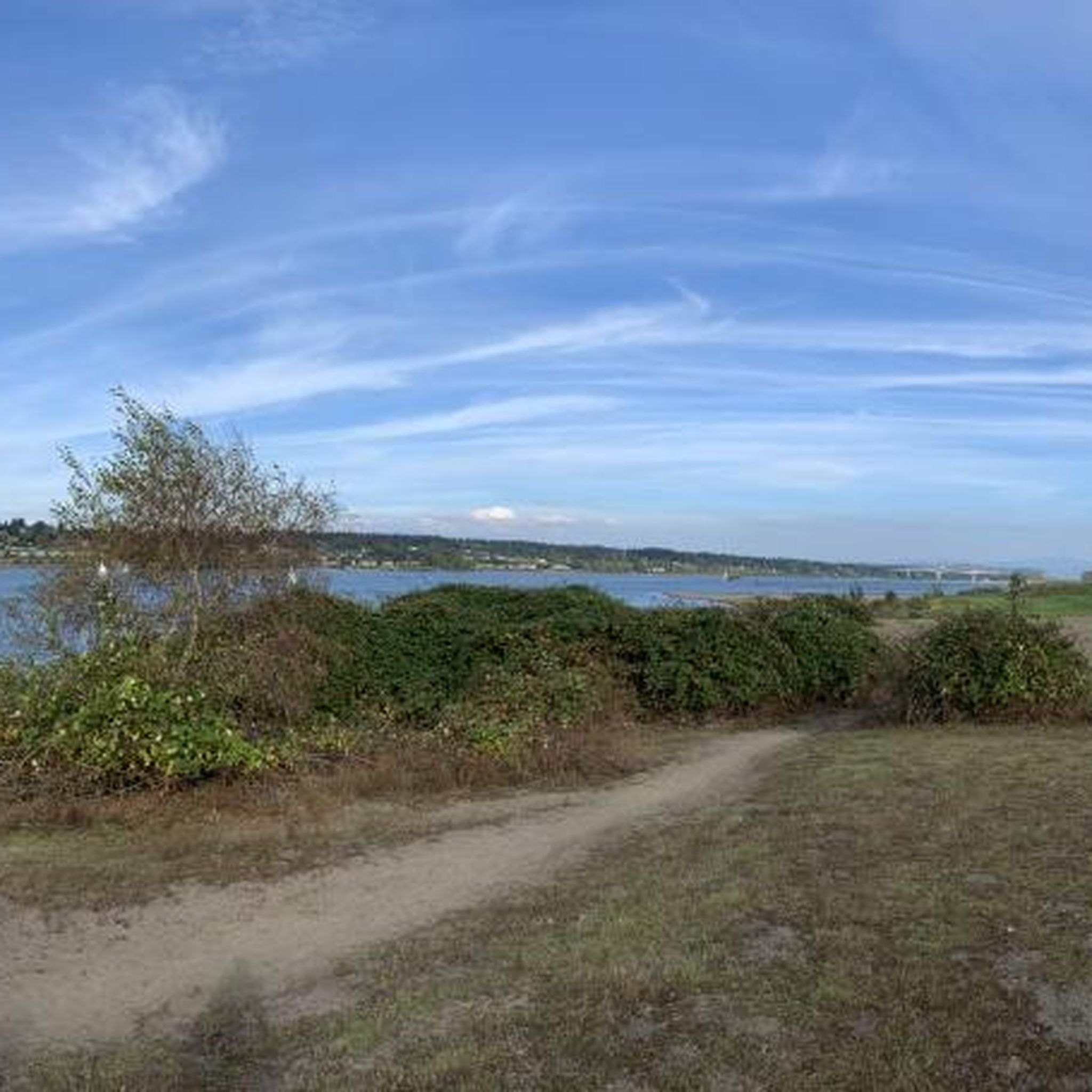
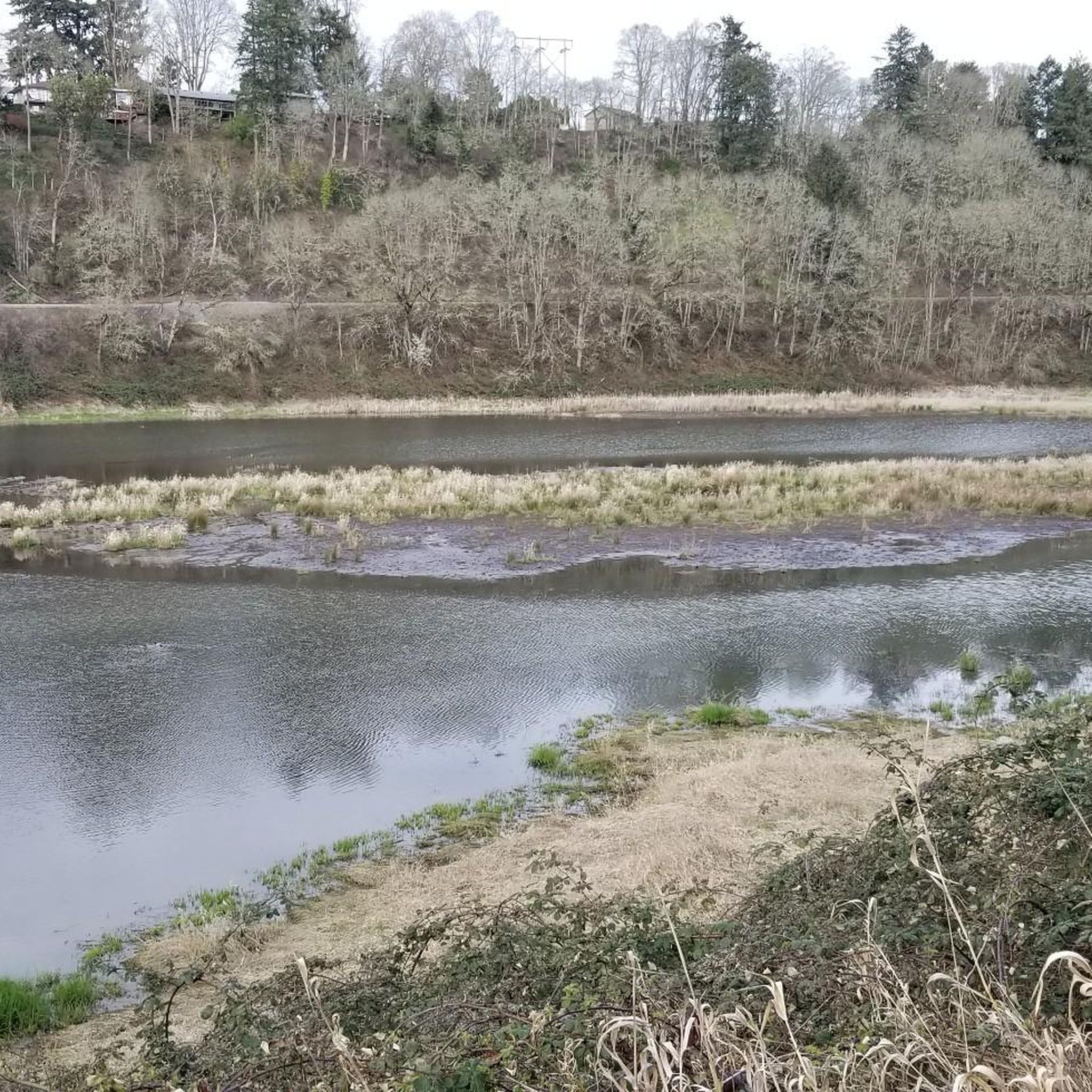
Here you can view Burnt Bridge Creek as it flows west to Vancouver Lake, which drains into Lake River and eventually feeds into the Columbia River.
0
0

The Burnt Bridge Creek Trail is a completely paved bike way that leads from Vancouver Lake through the northern part of the city towards the Columbia River. The trail passes through numerous parks and can be accessed from a few different trailheads and parking lots.
1
0

The Vancouver Land Bridge is a 40-foot-wide pedestrian bridge featuring two overlooks, interpretive panels, and native plants. The bridge offers a scenic and educational experience for visitors. It is wheelchair accessible, ensuring that everyone can enjoy this area.
0
0
The Bandstand Social Center of the Post is a historic area of the Fort Vancouver National Historic Site. It was an area where people gathered for social events. Read up more on the informational plaque right off of the Discovery Historic Loop. This is one example of the dozens of historical plaques that are around the loop.
0
0
Burnt Bridge Creek is a 13-mile stream starting near Orchards and ending in Vancouver Lake. For the first 8 miles, the creek travels through natural and artificial waterways before joining a small canyon. The creek's lower section is home to coho salmon, rainbow trout, and steelhead. The 8-mile Burnt Bridge Creek Greenway Trail, a popular path for walking, biking, and jogging, runs along the creek as well.
0
0
Experience Clark County’s natural beauty on the expansive and accessible Lewis and Clark Regional Trail. This trail connects multiple waterfront paths and extends deeper into Vancouver, providing a smooth run through the region's scenic areas.
0
0

Needed to run an errand cross town, and decided to test Komoot integration with an Apple Watch. Great route! More important (to me) the Komoot -Apple Watch integration was flawless. I've been hoping this would be the case and justify the Watch purchase. Interesting comment about bike computers: They serve two different audiences - Training and Touring. Frankly, the dedicated GPS Computers are great if you want to track statistics for training, or compete with others over training rides, but for Touring they are way too complicated, expensive, and built around features I don't need. The Apple Watch combined with the Komoot App is perfect for finding your way on a Tour. My only complaint is the Watch-Komoot App didn't want to close or give up control of my phone (The Watches 'App Switcher' did work to close Komoot. Here's hoping Komoot keeps building on the Apple Watch integration!
0
1

This bell tower is located at one end of Esther Short Park. At its base, it features the art installation 'Spiraling Salmon' by Jim Demetro. In addition to the tower, you can observe other nearby works of art in this park, such as 'A Gift to You', also by Jim Demetro, or 'The Pioneer Mother Memorial'.
1
0
Frequently Asked Questions
How many running routes are available in the Minnehaha area?
The Minnehaha region offers a wide selection of running routes, with over 50 different trails available for exploration. These routes cater to various fitness levels, from easy jogs to more challenging runs.
Are there easy jogging routes suitable for beginners in Minnehaha?
Yes, Minnehaha features several easy jogging routes perfect for beginners or those looking for a relaxed run. One popular option is the Discovery Historic Loop, which is 2.9 miles (4.6 km) long and takes about 30 minutes to complete.
What kind of terrain can I expect on the jogging paths around Minnehaha?
The jogging paths around Minnehaha are characterized by relatively flat terrain, featuring gentle elevation changes. You'll find a mix of scenic creek paths, open parkland, and urban park environments, providing varied backdrops for your runs.
Are there any family-friendly running trails in Minnehaha Park?
Many of the routes in Minnehaha are suitable for families, especially those with easier difficulty ratings and shorter distances. The Discovery Historic Loop is a great choice for a family outing, offering an easy run through historical areas.
Can I bring my dog on the running trails in Minnehaha?
Generally, dogs are welcome on many trails in the Minnehaha area, especially in designated park areas. However, it's always best to check specific park regulations or trail signage for any restrictions, and ensure your dog is on a leash.
Are there any circular running routes in Minnehaha?
Yes, the Minnehaha area offers several excellent circular running routes. For example, the Fort Vancouver – Waterfront Park loop from Vancouver is a moderate 5.0-mile (8.0 km) loop, and the Lewis & Clark Regional Trail loop from Vancouver is another popular 4.1-mile (6.6 km) option.
What are some scenic points of interest I can see while jogging in Minnehaha?
While jogging in Minnehaha, you can encounter various scenic points and landmarks. The Fort Vancouver – Waterfront Park loop from Vancouver offers views of the waterfront. You might also pass by historical sites like Fort Vancouver or natural features like Vancouver Lake, depending on your chosen route.
What do other runners enjoy most about jogging in Minnehaha?
The Minnehaha area is highly rated by the komoot community, with an average score of 4.0 stars. Runners often praise the diverse landscape, including scenic creek paths and expansive parkland, as well as the variety of routes suitable for different fitness levels.
Are there any longer, more challenging running routes in the Minnehaha region?
For those seeking a longer and more challenging run, the Minnehaha region does offer options. The Burnt Bridge Creek Greenway loop from Fort Vancouver High School is a difficult 10.7-mile (17.2 km) route, providing a significant workout with more elevation changes.
What is the best season for running in Minnehaha Park?
Minnehaha offers enjoyable running conditions throughout much of the year. Spring and fall provide pleasant temperatures and vibrant scenery. Summer is also popular, though it's advisable to run in the mornings or evenings to avoid the midday heat. Winter running is possible, but be mindful of potential ice or snow on paths.
Are there any trails that pass by lakes or water features?
Yes, several routes in the Minnehaha area offer views of lakes and other water features. Depending on your chosen path, you might encounter highlights such as Vancouver Lake or West Biddle Lake, providing beautiful waterside scenery for your run.
Are there any running routes that are particularly good for exploring historical areas?
Absolutely. The Discovery Historic Loop is specifically designed to take you through historical areas, offering an engaging run with a glimpse into the region's past. You can also find routes that pass near significant landmarks like Fort Vancouver.
Most popular routes around Minnehaha
Most popular attractions around Minnehaha

Get inspired with the komoot mobile app


Explore more
Browse the best Running Trails & Routes in other regions.
