The 7 Most Amazing Peaks around Grafenwörth
Mountain peaks around Grafenwörth, a market town in Lower Austria, are situated in a region offering elevated areas and viewpoints for scenic beauty and recreational opportunities. While high mountain peaks are not directly within its municipal boundaries, the surrounding area provides access to various elevated points. These locations are popular for hiking and experiencing the natural landscape. The region is known for its impressive vistas and outdoor activities.
Best mountain peaks around Grafenwörth
- The most popular mountain peaks is Waxenberg…
Last updated: July 13, 2026
Kampthalerwarte
Highlight • Viewpoint
Translated by Google •
Tip by

Waxenberg
Highlight • Viewpoint
It's worth the hike up if you don't mind the undergrowth. You'll still find …
Translated by Google •
Tip by

Sign up now to discover places like this
Get recommendations on the best single tracks, peaks, & plenty of other exciting outdoor places.
Sign up for free
Korkenzieher Observation Tower
Highlight • Monument
Translated by Google •
Tip by

Pyramids on the Manhartsberg
Highlight • Monument
Translated by Google •
Tip by

Parapluiberg Rest Area
Highlight • Rest Area
There is also a "Hüttl" here with lots of local drinks to drink. When the sun …
Translated by Google •
Tip by
Sign up for free to discover even more peaks around Grafenwörth.
Sign up for free
Already have an account?
Start today with a free account
Your next adventure awaits.
Login or Signup
Tips from the Community

The lookout tower is actually called Kamtalwarte and is 21 m high.
0
0

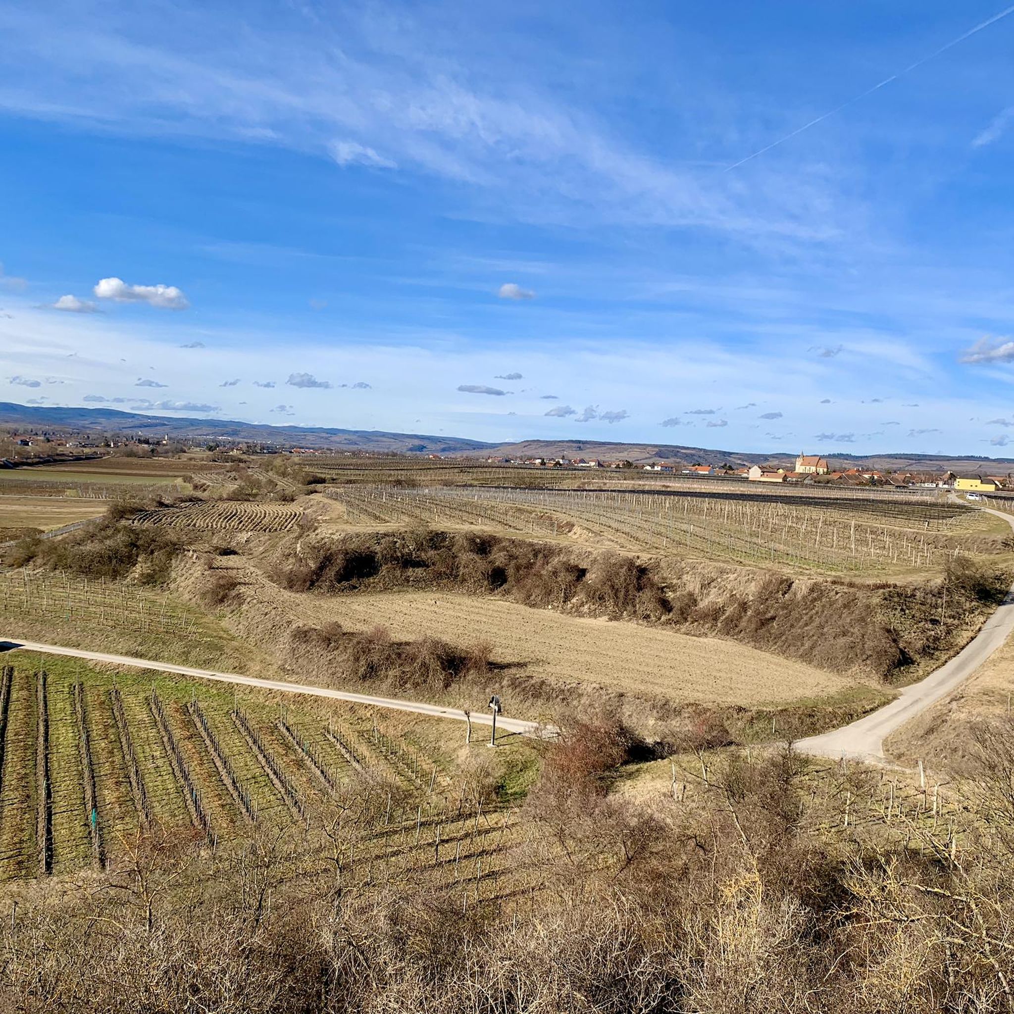
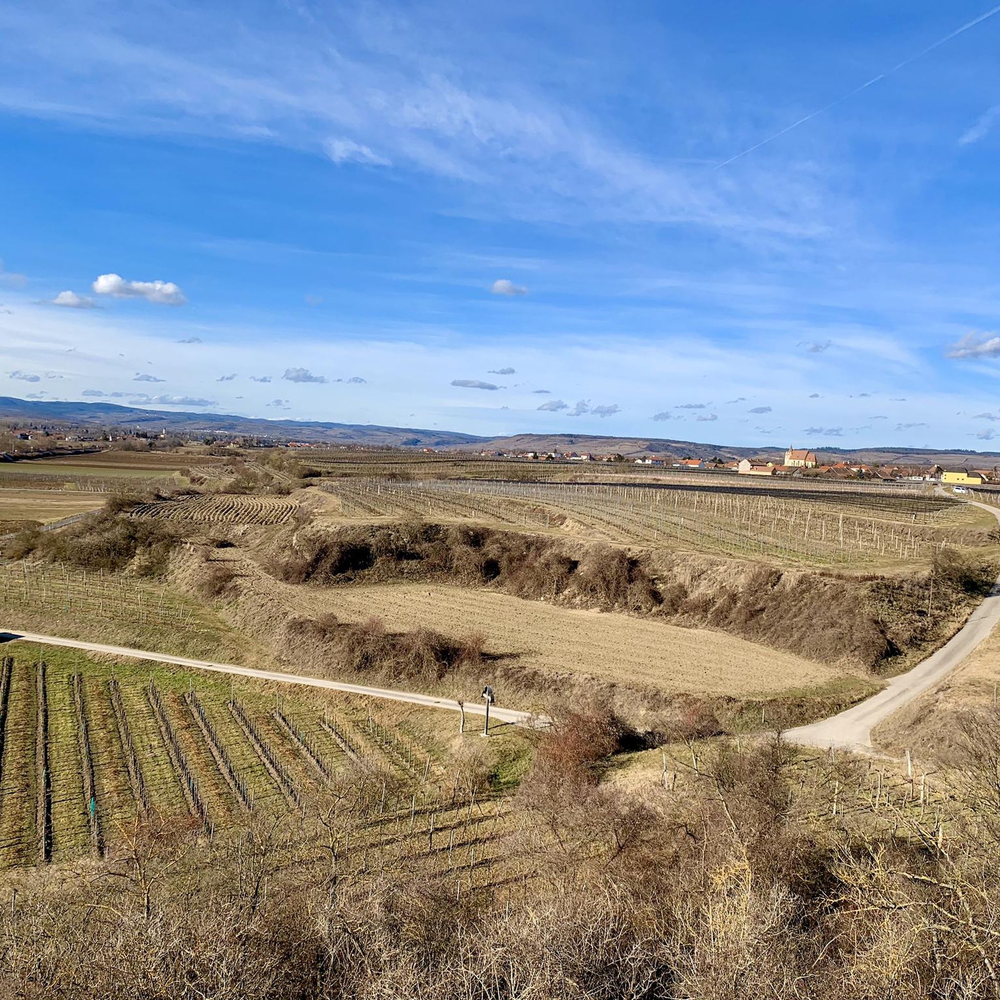
Beautiful, worthwhile views from the platform over the Wagram and into the Hollabrunn region, Krems area and the Weinviertel
3
0

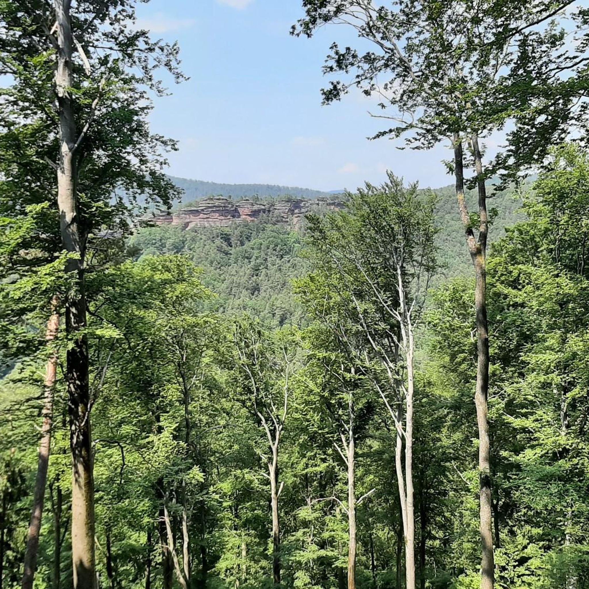
A beautiful vantage point in the Dunkelsteinerwald forest, with a particularly fantastic view of Göttweig Abbey. It's worth the hike up if you don't mind the undergrowth. You'll still find remnants of World War I fortifications in the area, which were built to secure the Krems bridges against an Italian breakthrough.
4
0

Very nice viewing point in every direction
3
0
very nice rest area above Nußdorf
2
0

Directions for: ParapluibergStarting from Nußdorf, the path leads uphill through vineyards and orchards to the lookout point on the Parapluiberg. From here you have a wonderful view of the Traisental valley and the foothills of the Alps or even the Danube valley and Tullnerfeld. You return on the same route. Once you have reached the starting point, various wine taverns or an inn are recommended to recharge your batteries. There is also nothing to stop you from buying wine or fruit juice from the many top establishments; you will also find information about this at the starting point of your hike.The hiking trail is signposted with yellow signs according to the Lower Austria hiking trail concept "Parabluiberg".
2
0
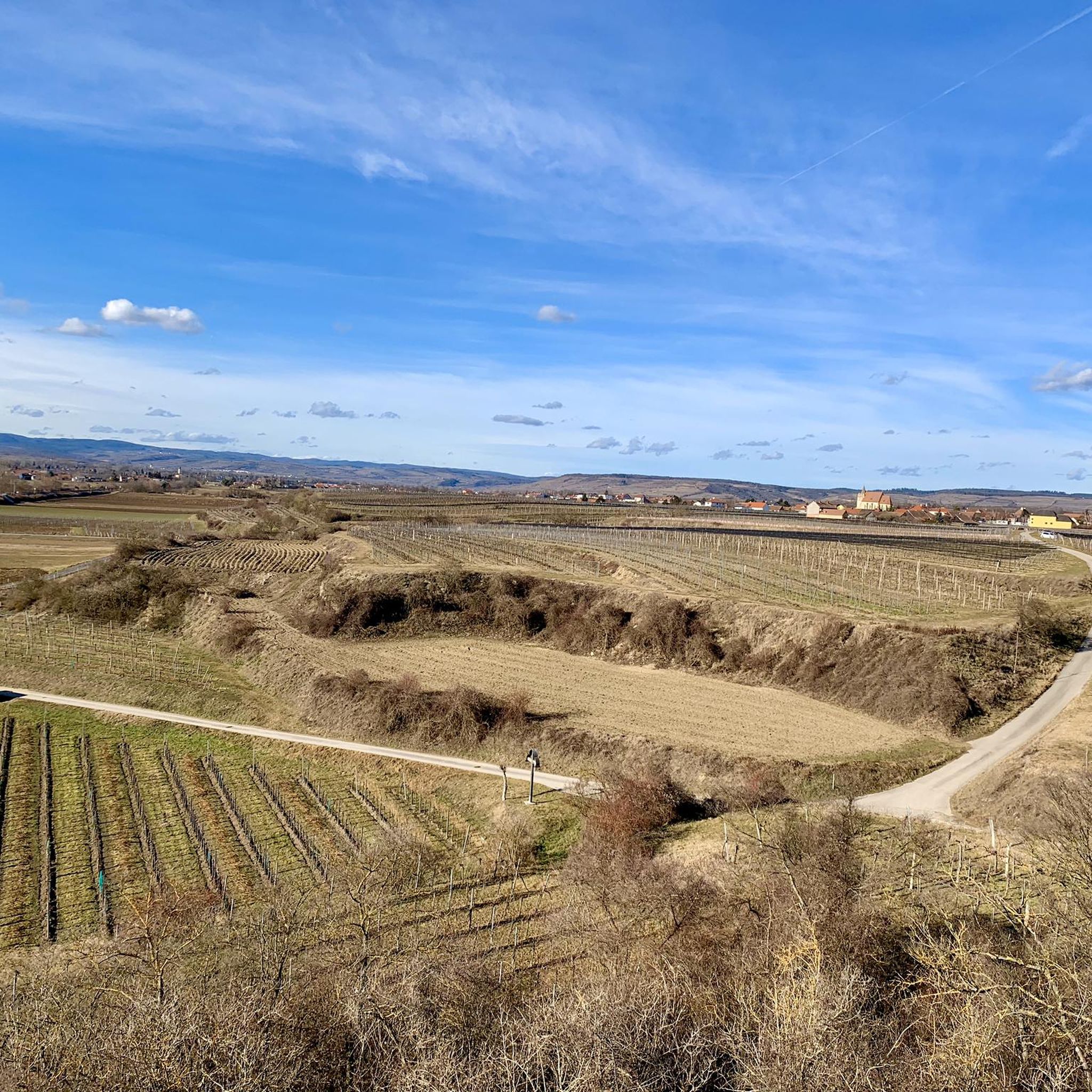
From up here you have a wonderful view over the "wide land" of Lower Austria. To the north you can see over the Tullnerfeld and the Danube valley as far as the Waldviertel and the Weinviertel. To the south you can see the mountains on nice days. There are vineyards all around and to the east Sitzenberg Castle sits enthroned on a hill.
1
0
Here you will find everything your heart desires, benches, deck chairs, a great view, but the best thing is that there is a drinks machine where you can drink local fruit juices and also "spritzers" :-)
3
0
Frequently Asked Questions
What are some of the most popular viewpoints around Grafenwörth?
The region around Grafenwörth offers several highly-rated viewpoints. Among the most popular are Waxenberg, known for its fantastic view of Göttweig Abbey and the Danube, and the Korkenzieher Observation Tower, a unique corkscrew-shaped monument offering panoramic vistas from the Danube meadows to the Schneeberg.
Are there any historical sites among the elevated points near Grafenwörth?
Yes, the Kampthalerwarte is a notable historical site. This neo-Gothic watchtower, erected in 1897, played a role in the rise of tourism in the Kamptal region and offers magnificent panoramic views. Additionally, Waxenberg still has remnants of World War I fortifications.
Which mountain peaks or viewpoints offer the best panoramic views?
For breathtaking panoramic views, the Kampthalerwarte is highly recommended. On clear days, you can see as far as the Alpine peaks of Ötscher and Schneeberg. The Korkenzieher Observation Tower also provides extensive views across the Weinviertel to the Waldviertel, including the Schneeberg. From Waxenberg, you get a unique perspective of Göttweig Abbey and the Danube.
Are there family-friendly elevated spots or viewpoints around Grafenwörth?
Absolutely! The Korkenzieher Observation Tower is considered family-friendly, offering an engaging experience with its unique design and surrounding circular hiking trail. The Parapluiberg Rest Area is another great option, featuring a wonderful vantage point, benches, deck chairs, and even a drinks machine, making it ideal for a relaxed family outing.
What kind of outdoor activities can I do near these mountain peaks and viewpoints?
The region around Grafenwörth is excellent for various outdoor activities. You can find numerous hiking trails, such as those leading to the Waxenberg or around the Korkenzieher Observation Tower. For more options, explore the dedicated guide for Hiking around Grafenwörth. There are also many cycling routes available, detailed in the Cycling around Grafenwörth guide.
When is the best time to visit the Kampthalerwarte?
The Kampthalerwarte is typically open on Saturdays and Sundays from 2 p.m. to 5 p.m. during May, June, September, and October, provided the weather is fine. A hoisted flag indicates it's open. Outside these hours, a key can often be borrowed from local inns like Ursin Haus and Fiakerwirt in Langenlois or Gasthaus Gutmann in Zöbing for a small admission fee.
Are there any unique man-made structures among the elevated points?
Yes, the Korkenzieher Observation Tower is a distinctive 15-meter-high monument shaped like a corkscrew. Another interesting spot is the Pyramids on the Manhartsberg, which refers to a low mountain ridge with historical remnants of a World War II radio interference station.
What can I expect at the Parapluiberg Rest Area?
The Parapluiberg Rest Area offers a wonderful vantage point over Nussdorf and the lower Traisental. It features a small hut, benches, deck chairs, and even a drinks machine with local fruit juices and spritzers, making it a perfect spot to relax and enjoy the view after a hike.
Where can I find information about hiking trails near Grafenwörth's elevated areas?
For detailed information on hiking trails, you can refer to the Hiking around Grafenwörth guide. It includes routes like the 'Origin of Roter Veltliner – Engabrunner Observation Tower loop' and the 'Felser Observation Tower – Nature Trail Fels am Wagram loop', which are great ways to explore the region's elevated points.
What makes the Manhartsberg significant?
The Manhartsberg is a low, flat mountain ridge that serves as a geographical and historical boundary between the Waldviertel and Weinviertel regions of Lower Austria. It reaches 537 meters above sea level and is known for its amethyst deposits and remnants of a World War II radio interference station near its highest point.
Are there any places to get refreshments after a hike?
Yes, after visiting the Korkenzieher Observation Tower, you can find wine taverns in the Ahrenberger and Eichberger Kellergasse, offering local wine and regional delicacies. The Parapluiberg Rest Area also has a drinks machine with local beverages, and various inns are available in nearby villages.
Most popular routes around Grafenwörth
Most popular attractions around Grafenwörth

Get inspired with the komoot mobile app


Explore more
See even more amazing summits around Grafenwörth with these guides:
