The best running trails around Shannondale
5.0
(1)
51
runners
4
runs
Jogging routes around Shannondale traverse a landscape characterized by rolling hills, mature hardwood forests, and proximity to the Blue Ridge Mountains. Elevations in the area range from 350 to 700 feet, offering varied terrain for runners. The region is bordered by the Shenandoah River to the west and features extensive trail systems within the Shannondale Springs Wildlife Management Area, providing riverine environments and shaded paths. These natural features create diverse running opportunities.
Best jogging routes around Shannondale
- The most popular…
Last updated: July 12, 2026
5.0
(1)
26
runners
7.71km
01:05
280m
280m
The Raven Rocks via Appalachian Trail offers a moderate jogging experience, covering 4.8 miles (7.7 km) with a total elevation gain of 921 feet (281 metres). You can expect to…
1
runners
15.3km
02:05
470m
470m
Jog the difficult 9.5-mile Appalachian Trail to Raven Rocks for a challenging workout and panoramic views of the Shenandoah Valley.

Sign up for free
15
runners
Hard run. Very good fitness required. Mostly paved surfaces. Suitable for all skill levels.
4
runners
9.71km
01:14
160m
160m
Moderate run. Good fitness required. Mostly paved surfaces. Suitable for all skill levels.
5
runners
6.99km
00:44
40m
40m
Moderate run. Good fitness required. Mostly paved surfaces. Suitable for all skill levels.
Our route recommendations are based on thousands of hikes, rides, and runs completed by other people on komoot.
Start today with a free account
Your next adventure awaits.
Login or Signup

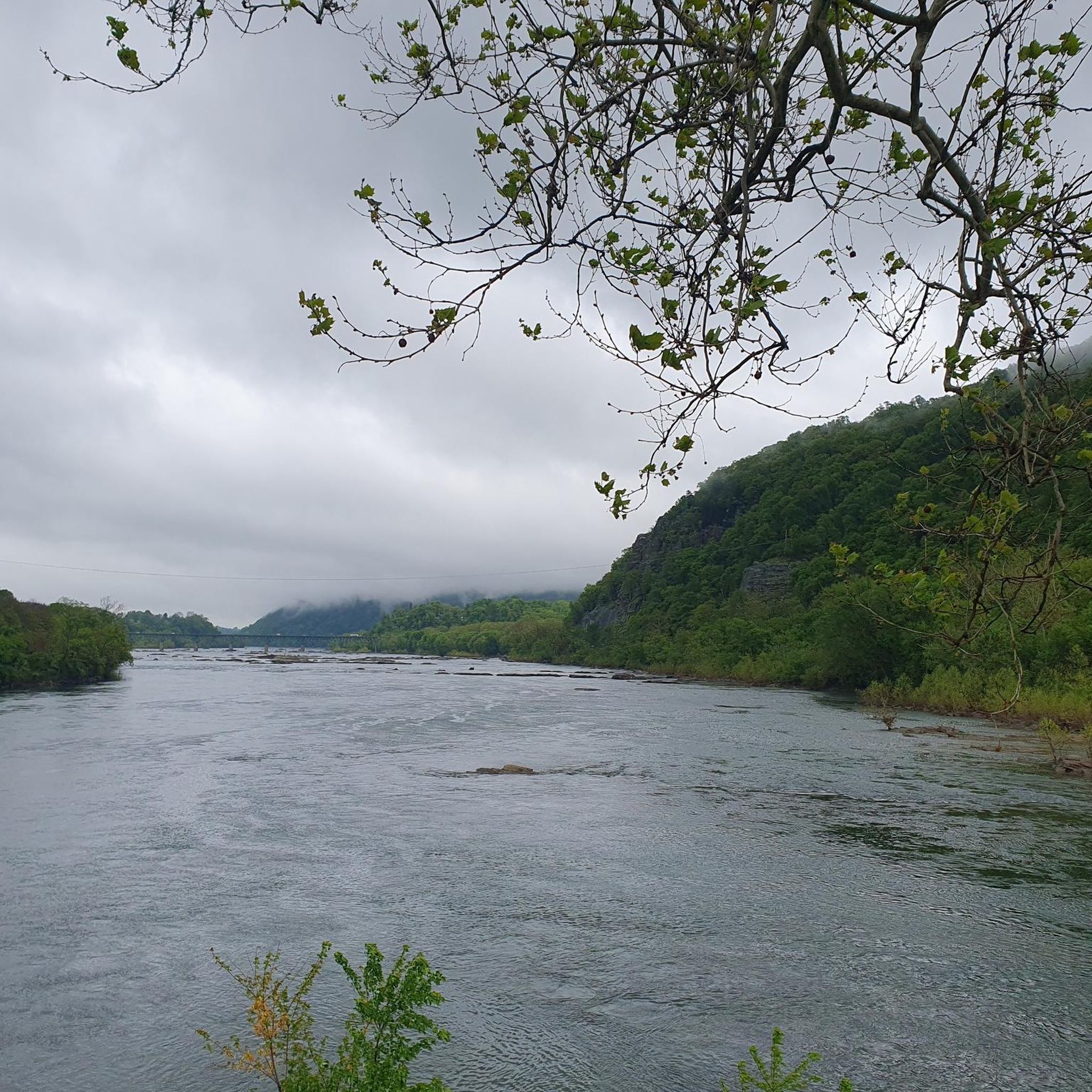
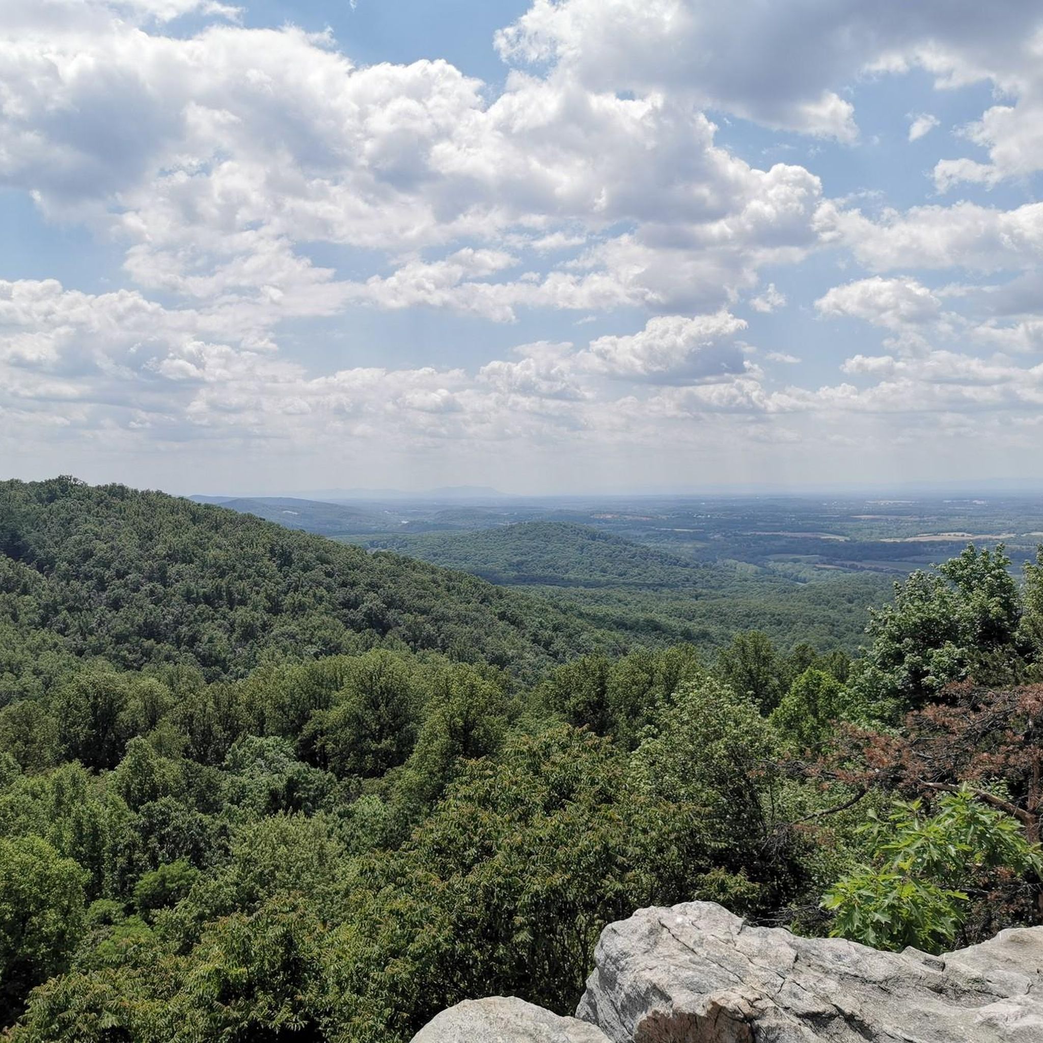

Tips from the Community

Blackburn Trail Center has a small parking area and is a great spot to hop on and off the Appalachian Trail via the Appalachian Trail Spur. Potomac Appalachian Trail Club (PATC) runs the cabins, and you are pretty likely to run into some long-distance hikers in the summer.
0
0
Wilson Gap, a short 0.1 mile from the Appalachian Trail, is is right on the border of West Virginia and Virginia. Wilson Gap used to be called Gregory's Gap, and is at an elevation of 1,444 feet above sea level.
0
0

From here, you can look up at the West Portal of the Harpers Ferry Tunnel. The tunnel is part of the B & O Railroad Potomac River Crossing, which is on the National Register of Historic Places for its significance in commerce, engineering, industry, invention, and transportation.
1
0

This railroad bridge that spans over the Potomac River in Harpers Ferry is quite the spectacle. A walk across the bridge grants you quick access between the C&O Canal Trail and Harpers Ferry town.
1
0

The Goodloe E. Byron Memorial Footbridge stretches 1/6 of a mile across the Potomac River where it meets the Shenandoah River. You get pretty sweet views from this bridge, which is fully separated from the vehicular bridge.
0
0
The Cool Spring Battlefield (often referred to as the Shenandoah River Campus at Cool Spring Battlefield) is a historical location from the Civil War. There is a lot of history to learn about here, and there are informational signs with a guided walking tour if you are interested. The paths around the property are smooth and easy to follow, so anyone in the family can likely get out for this walk.
0
0


Unfortunately, the park administration does nothing to keep the original lines of sight clear. This is how you hike to the highest points, but have no view. If you like walking in the woods, okay
0
0
Frequently Asked Questions
What kind of terrain can I expect on running trails in Shannondale?
Shannondale's running trails offer a diverse experience, characterized by rolling hills, extensive hardwood forests, and proximity to the Blue Ridge Mountains. You'll find paths along riverine environments, particularly near the Shenandoah and Potomac Rivers, and within the Shannondale Springs Wildlife Management Area. Elevations typically range from 350 to 700 feet, providing varied and engaging terrain for runners.
Are there running routes for all skill levels in Shannondale?
While Shannondale is known for its more challenging routes, there are options for different ability levels. For instance, the Raven Rocks via Appalachian Trail is a moderate 4.8-mile (7.7 km) trail. More experienced runners can tackle difficult paths like the Appalachian Trail to Raven Rocks, which is 9.5 miles (15.3 km) with significant elevation gain, or the 13.4-mile (21.6 km) Maryland Heights Stone Fort – Jefferson Rock loop from Harpers Ferry National Historical Park.
What scenic views or landmarks can I see while jogging in Shannondale?
Jogging in Shannondale offers numerous scenic views and historical landmarks. You can enjoy panoramic vistas of the Shenandoah Valley from spots like Raven Rocks. The Goodloe E. Byron Memorial Pedestrian Walkway provides views of the Potomac River. Historic sites like Jefferson Rock, visited by Thomas Jefferson, and the Harpers Ferry National Historical Park are also accessible, blending natural beauty with rich history.
Are there dog-friendly running routes in Shannondale?
Many outdoor areas in Shannondale, including trails within the Shannondale Springs Wildlife Management Area, are generally dog-friendly. It's always recommended to keep your dog on a leash to protect wildlife and ensure a pleasant experience for all trail users. Always check specific trail regulations before heading out.
Are there any circular running routes available in Shannondale?
Yes, Shannondale offers circular running routes for those who prefer to start and end in the same location. An excellent example is the challenging Maryland Heights Stone Fort – Jefferson Rock loop from Harpers Ferry National Historical Park, which covers 13.4 miles (21.6 km) and takes you through historical landmarks and varied terrain.
What do other runners enjoy most about jogging in Shannondale?
The running routes in Shannondale are highly rated by the komoot community, with an average score of 5.0 stars. Runners often praise the area's blend of riverfront paths, forested hills, and mountain backdrops, which provide a diverse and engaging experience. The variety of terrain and the opportunity to explore both natural beauty and historical sites are frequently highlighted.
Are there any running routes that offer a more challenging experience?
Absolutely. For runners seeking a significant challenge, the Appalachian Trail to Raven Rocks is a difficult 9.5-mile (15.3 km) path with substantial elevation gain. Another demanding option is the Buzzard Hill – Bear's Den Overlook loop from Snickers Gap, which is 9.9 miles (15.9 km) and features over 800 meters of elevation gain.
What are the best times of year to go running in Shannondale?
Shannondale's diverse landscapes make it suitable for running throughout much of the year. Spring and fall offer pleasant temperatures and vibrant scenery, with blooming wildflowers or colorful foliage. Summer provides shaded paths through hardwood forests, while winter can offer unique, crisp running conditions, though some trails might require more caution due to potential ice or snow.
Are there any historical sites or points of interest along the running trails?
Yes, several running routes in Shannondale pass by or near significant historical sites. The Maryland Heights Stone Fort – Jefferson Rock loop, for example, takes you through Harpers Ferry National Historical Park and past Jefferson Rock. These routes offer a chance to combine your run with historical exploration.
How many running routes are available in the Shannondale area?
There are several dedicated running routes around Shannondale, with komoot currently featuring over 3 distinct tours. These routes vary in length and difficulty, providing options for different preferences and fitness levels.
Can I find running routes with river views in Shannondale?
Yes, Shannondale is bordered by the Shenandoah River to the west and is near the confluence of the Shenandoah and Potomac Rivers. Many trails, especially within the Shannondale Springs Wildlife Management Area, follow riverside paths, offering picturesque views and a serene backdrop for your run.
Are there any running routes that are particularly good for wildlife viewing?
The Shannondale Springs Wildlife Management Area (WMA) is a haven for diverse wildlife and plant species. Running routes that traverse this area, particularly those along the Potomac River, offer excellent opportunities for birdwatching and observing various mammals and aquatic creatures in their natural habitat.
Most popular routes around Shannondale
Most popular attractions around Shannondale

Get inspired with the komoot mobile app


Explore more
Browse the best Running Trails & Routes in other regions.
