The 6 Most Amazing Peaks around Gnadendorf
Best mountain peaks around Gnadendorf are found within a landscape characterized by rolling hills in the Zaya River valley, on the northern edge of Lower Austria's Leiser Berge. The Buschberg, at 491 meters, is the most notable elevation and the highest point in the Weinviertel region. This area offers a diverse landscape, including extensive forests and dry grasslands, providing opportunities for exploration. Parts of Gnadendorf's municipal area lie within the Leiser Berge Nature Park, which is known for its natural…
Last updated: July 8, 2026
Buschberg Summit Cross
Highlight • Summit
The Buschberghütte, Austria's lowest mountain shelter, is nearby.
Translated by Google •
Tip by

Buschberg Radar Dome (Goldhaube)
Highlight • Monument
Translated by Google •
Tip by

Sign up now to discover places like this
Get recommendations on the best single tracks, peaks, & plenty of other exciting outdoor places.
Sign up for free
Anton Gössinger Memorial
Highlight • Monument
Translated by Google •
Tip by

Bockstall Summit and Memorial Cross (352 m)
Highlight • Summit
Translated by Google •
Tip by

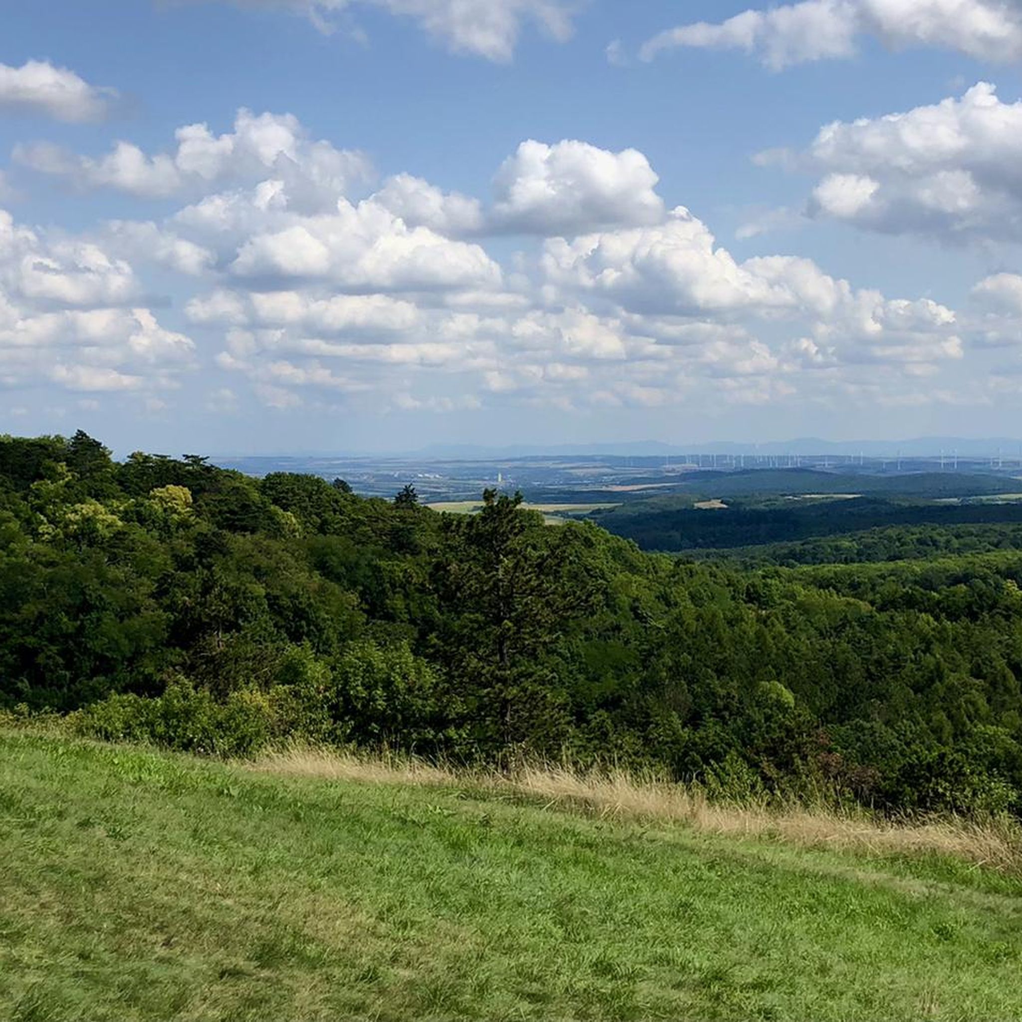
View from Gielingberg
Highlight • Viewpoint
Translated by Google •
Tip by

Start today with a free account
Your next adventure awaits.
Login or Signup
Tips from the Community

Memorial plaque to Prof. Anton Gössinger, the founder of the Leiser Berge Nature Park
0
0

A few meters further is the summit cross
1
0

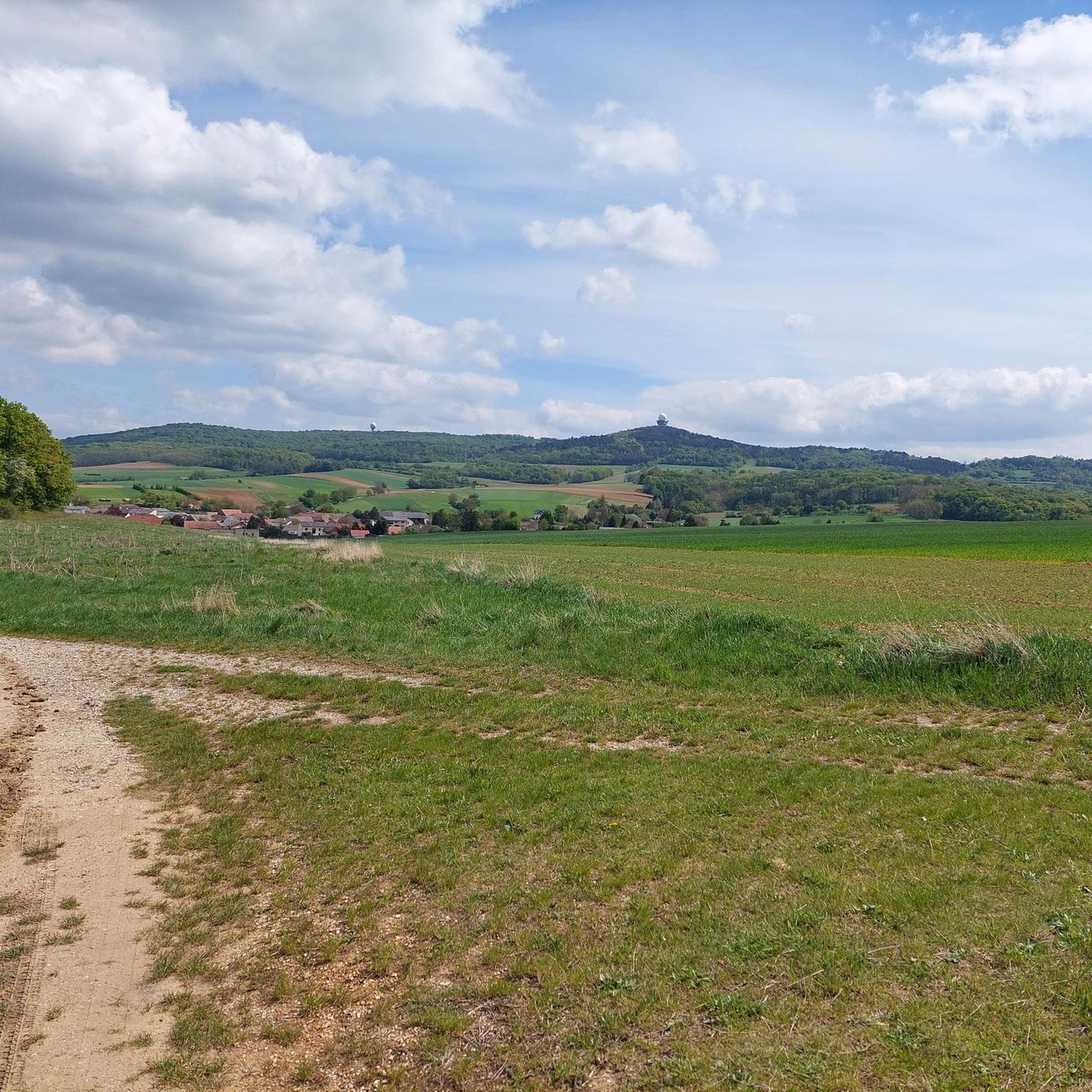
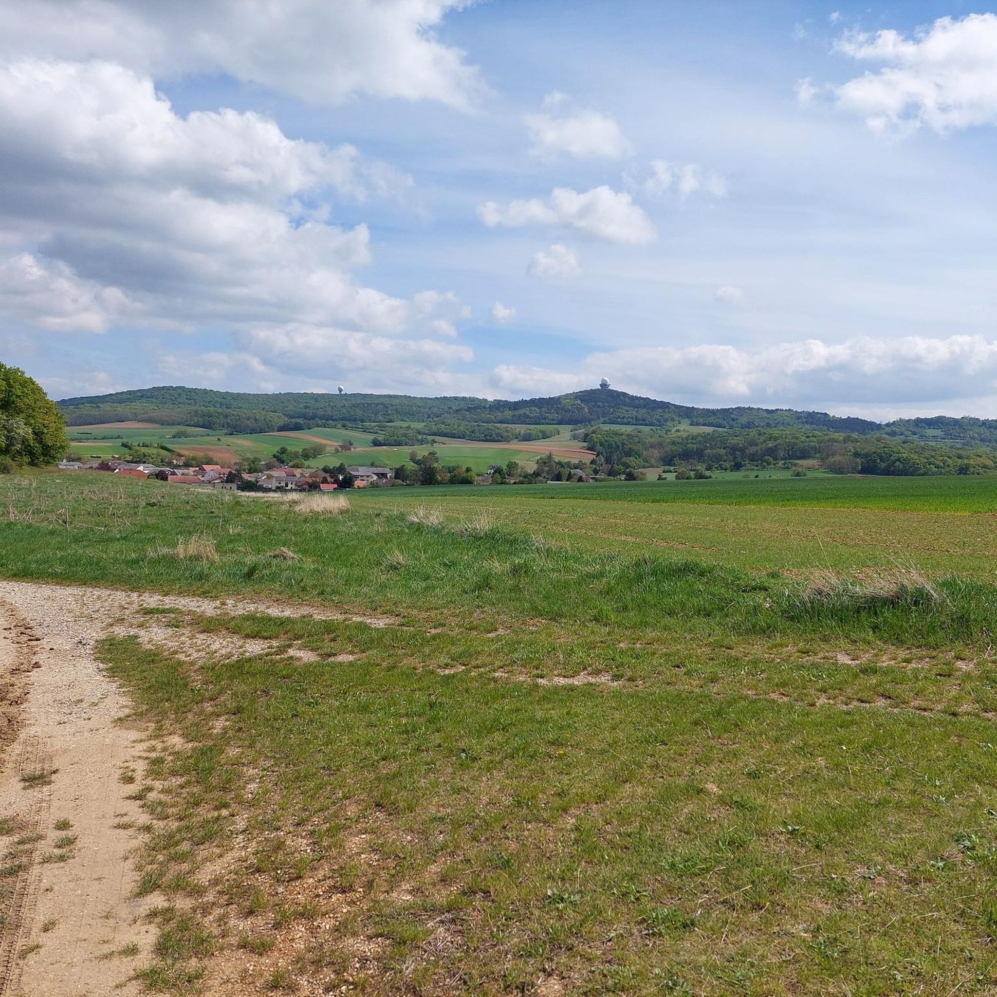
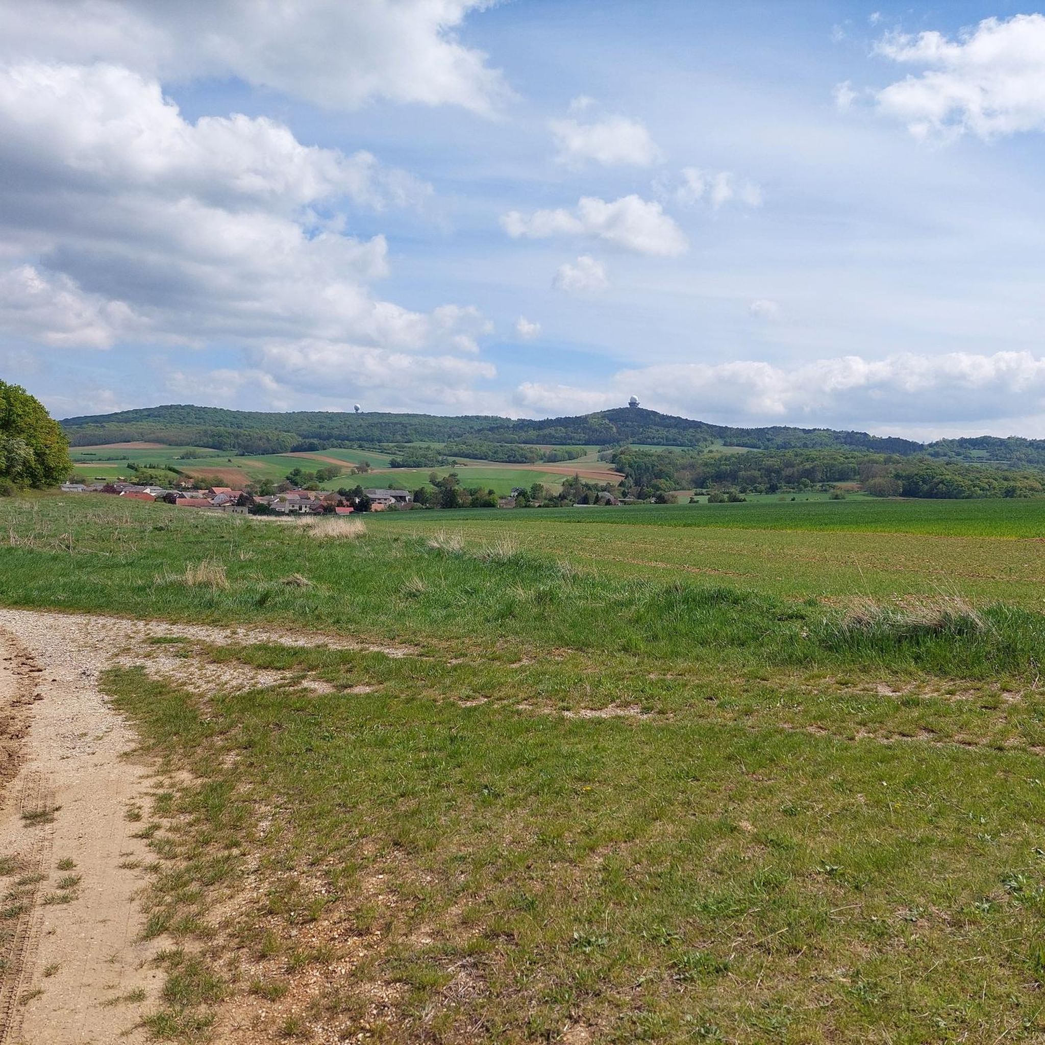
The gold hood is the larger of the two.
0
1

Near the summit is the Buschberghütte, it is at 484 m. In front of the hut is a playground, behind it is a radar station of Austro Control for civil aviation in eastern Austria.
4
0

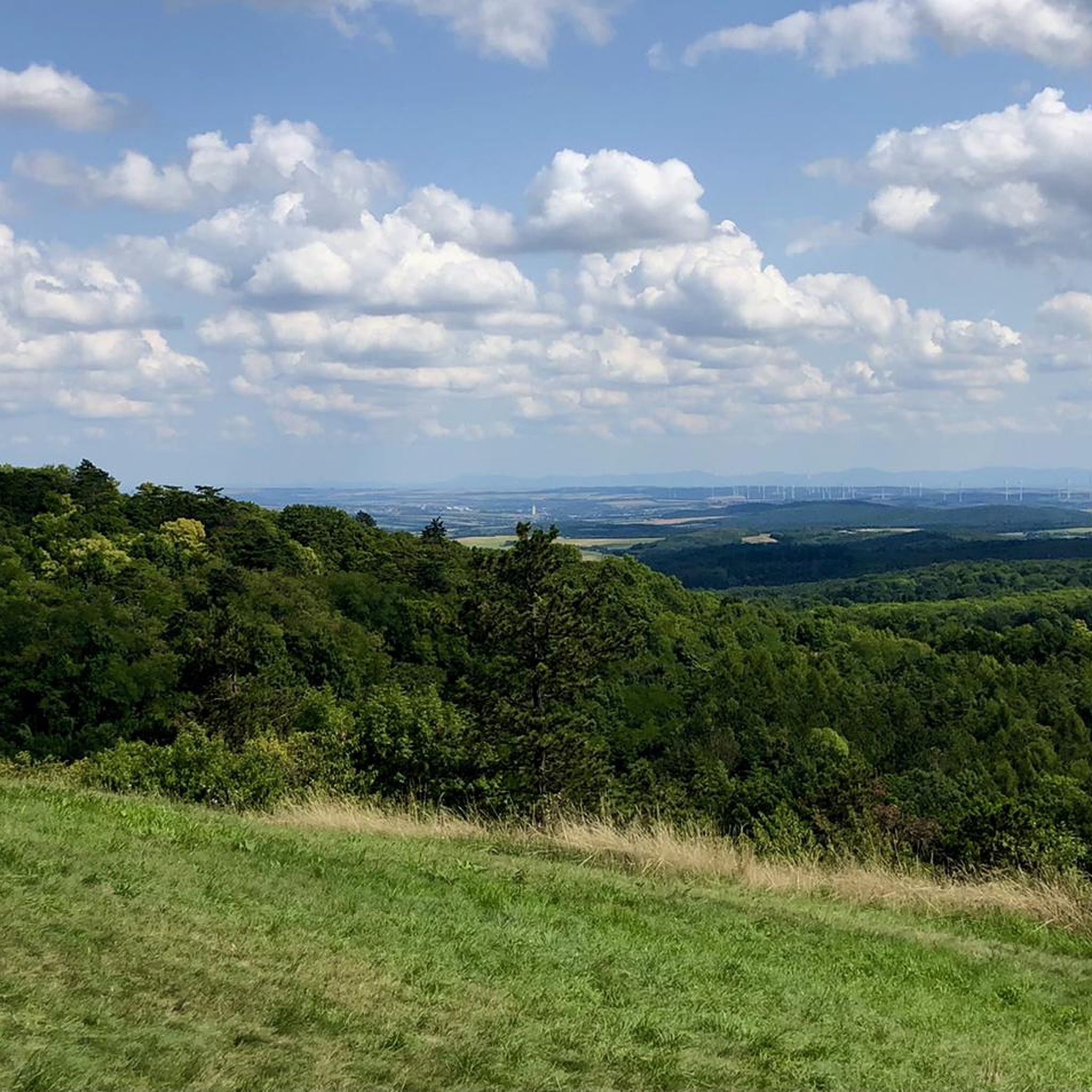
Brilliant view, but dragging the bike up is bad, descent for MTB and less for Gravel
3
0
Anton Gössinger is considered the founder of the Leiserberge Nature Park
1
1

Memorial stone on the way to the summit and dedicated to the founder of the Leiserberge Nature Park.
1
1
Iron summit cross, located at 352 meters. Tables and benches invite you to rest. However, the ascent with the bike is quite tough and ends in pushing. Depending on how the grass is mowed, you can try it from 2 sides.
0
0
Frequently Asked Questions
What are the most notable mountain peaks and elevated points around Gnadendorf?
The most prominent elevation is the Buschberg, standing at 491 meters, which is also the highest point in the Weinviertel region. Other notable spots include the Buschberg Summit Cross, offering expansive views, and the historic Ruins of Staatz Castle, which provides extensive vistas from its 100-meter-high cliff.
Are there family-friendly hiking options in the Gnadendorf area?
Yes, the Leiser Berge Nature Park, which encompasses parts of Gnadendorf, is a popular destination for families. It offers well-marked trails suitable for various fitness levels, allowing visitors to explore the local flora and fauna. The area around the Buschberg also features routes like the approximately one-hour loop that leads to scenic viewpoints and the Buschberghütte, which has a playground.
What kind of natural features can I expect to see on the peaks around Gnadendorf?
The landscape around Gnadendorf is characterized by rolling hills, extensive forests, and dry grasslands, particularly at the foot of the Buschberg. You'll find diverse flora and fauna within the Leiser Berge Nature Park. Many peaks, such as the Buschberg Summit Cross and the Ruins of Staatz Castle, offer breathtaking panoramic views of the surrounding countryside, stretching across the Ernstbrunn Forest to the pre-Alpine region and Moravian lowlands.
What historical or cultural sites are located on or near the peaks?
The Ruins of Staatz Castle is a significant historical site, perched on a limestone cliff offering panoramic views. Additionally, the Buschberg Radar Dome (Goldhaube), while a modern structure, is a prominent man-made landmark on the highest elevation of the Leiser Berge. You can also find the Anton Gössinger Memorial, commemorating a key figure in the Leiser Berge nature park's establishment, and the Bockstall Summit and Memorial Cross (352 m).
Are there easy hiking trails suitable for beginners around Gnadendorf?
Yes, there are several easy hiking trails. For example, the guide for Easy hikes around Gnadendorf features routes like the 'Buschberg Singletrack – Buschberg Summit Cross loop from Buschberg,' which is an easy 5.5 km trail. Another easy option is the 'Buschberg Summit Cross – Buschberg Hut loop from Buschberg,' a shorter 3 km route.
What is the best time of year to visit the mountain peaks in Gnadendorf?
The region is particularly appealing in spring, when the landscape is lush and flowers are in bloom, and in autumn, when the foliage displays vibrant colors. The paths around the Buschberg are generally recommended at any time of the year, offering good views regardless of the season.
What kind of cycling opportunities are available near the peaks?
The area offers various cycling routes. You can explore options for gravel biking or general cycling around Gnadendorf. Routes vary in difficulty, such as the 'Buschberg Radar Dome – Michelstetten Pond loop from Pyhra' for a moderate gravel ride, or more challenging routes like the 'Oberleis Observation Tower – View of Schloss Ernstbrunn loop from Eichenbrunn' for touring bicycles.
Are there places to eat or rest near the hiking trails?
Yes, near the Buschberg Summit Cross, you'll find the Buschberghütte, which is known as Austria's lowest mountain shelter. It's a convenient spot for a break during your hike.
What do visitors enjoy most about the peaks around Gnadendorf?
Visitors frequently appreciate the expansive, all-round views from summits like the Buschberg Summit Cross and the Ruins of Staatz Castle. The diverse landscape, from forests to dry grasslands, and the well-maintained trails within the Leiser Berge Nature Park are also highly valued for hiking and enjoying nature.
Are there any circular hiking routes available?
Yes, the area offers several circular routes. A popular approximately one-hour route circles the Buschberg, leading to scenic viewpoints and the Buschberghütte. You can find more detailed circular routes in the Easy hikes around Gnadendorf guide, such as the 'Buschberg Summit Cross – Zahlberg loop from Buschberg'.
What is the Buschberg Radar Dome?
The Buschberg Radar Dome (Goldhaube) is a prominent man-made monument located on the highest elevation of the Leiser Berge. It houses both civil and military radar stations, making it a distinctive landmark visible from a distance and offering unique views.
Most popular routes around Gnadendorf
Most popular attractions around Gnadendorf

Get inspired with the komoot mobile app


Explore more
See even more amazing summits around Gnadendorf with these guides:
