The best running trails around Mcfarland
4.7
(11)
3,081
runners
159
runs
Jogging around Mcfarland offers diverse natural landscapes and extensive trail systems. The region is characterized by the presence of Lake Waubesa, the Yahara River, and various wetlands, providing scenic backdrops for running. Hardwood forests, prairies, and numerous green spaces contribute to a varied terrain, with gentle elevation changes suitable for different fitness levels. An extensive park system and dedicated trails ensure ample opportunities for outdoor activity.
Best jogging routes around Mcfarland
- The most popular jogging route is Lower Yahara River Trail loop from Meinders & Crested Owl (EB), a 7.5 miles (12.0 km) trail that takes 1 hour 23 minutes to complete. This route follows the picturesque Lower Yahara River Trail, offering views of the surrounding natural areas.
- Another top favourite among local runners is Lower Yahara River Trail – Lower Yahara River Trail loop from Hog Island, a moderate 8.3 miles (13.4 km) path. This trail winds through wetlands and along the Yahara River, showcasing the region's diverse ecosystems.
- Local runners also love the Lower Yahara River Trail – Lake Waubesa view loop from McFarland, a 6.7 miles (10.8 km) trail leading through areas with views of Lake Waubesa, often completed in about 1 hour 15 minutes.
- Jogging around Mcfarland is defined by its lakes, rivers, and extensive wetlands, alongside hardwood forests and open prairies. The network of routes offers options for easy, moderate, and difficult running, catering to various ability levels.
- The routes in Mcfarland are highly rated by the komoot community with an average score of 4.9 stars from 9 reviews. More than 2000 runners have used komoot to explore Mcfarland's varied terrain.
Last updated: August 22, 2026
10
runners
Hard run. Very good fitness required. Mostly paved surfaces. Suitable for all skill levels.
9
runners
Moderate run. Good fitness required. Mostly paved surfaces. Suitable for all skill levels.

Sign up for free
12
runners
17.5km
01:57
40m
40m
Hard run. Very good fitness required. Mostly paved surfaces. Suitable for all skill levels.
5.0
(1)
14
runners
Hard run. Very good fitness required. Mostly paved surfaces. Suitable for all skill levels.
8
runners
10.8km
01:15
40m
40m
Moderate run. Good fitness required. Mostly paved surfaces. Suitable for all skill levels.
Get access to more routes and recommendations from other explorers.
Sign up for free
Already have an account?
Our route recommendations are based on thousands of hikes, rides, and runs completed by other people on komoot.
Start today with a free account
Your next adventure awaits.
Login or Signup
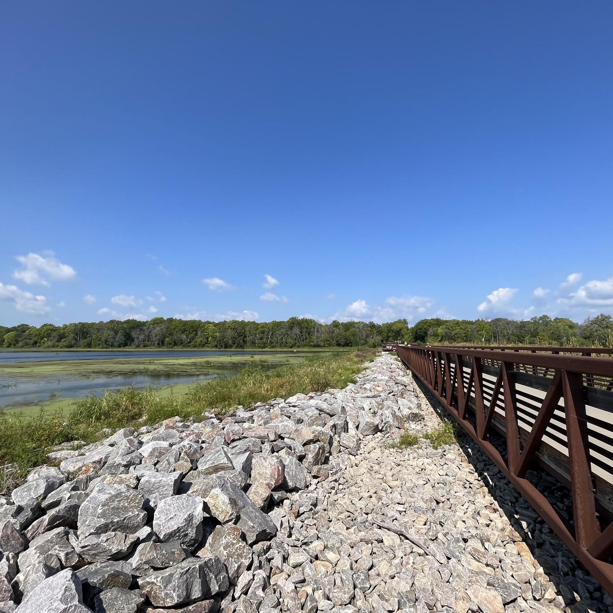
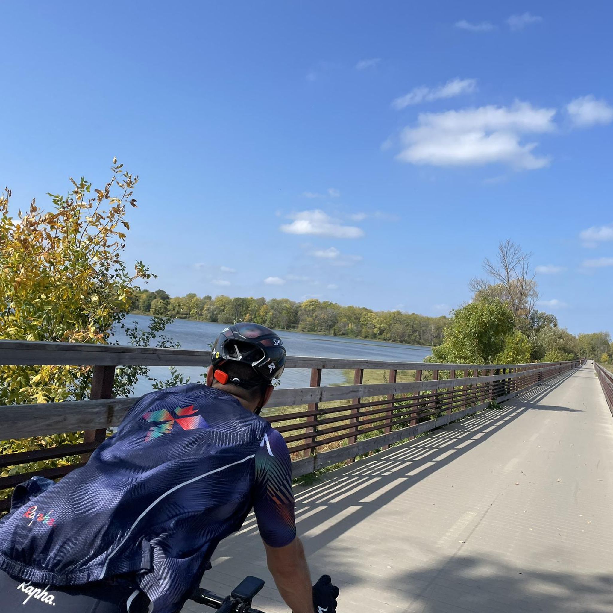
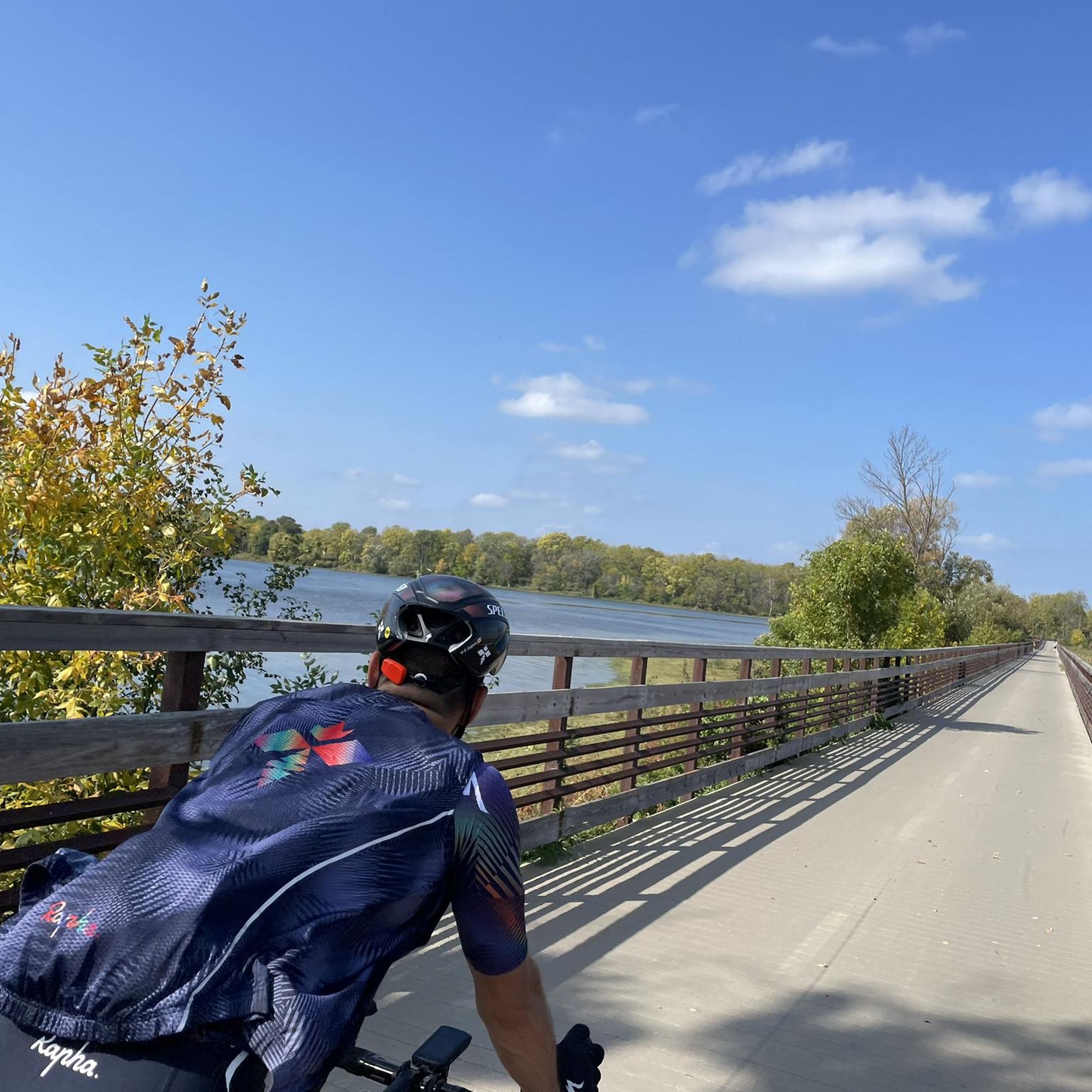

Tips from the Community

The Capital City State Trail is a paved trail that travels for over nine miles through Capital Springs State Recreation Area (Dane County E-way) and connects with other trails in and around Madison.
0
0

The E-Way Unit of Capital Springs State Recreation Area features 625 acres of wetlands, prairies, and woodlands, providing a vital corridor for wildlife and outdoor recreation. There are miles of hiking, biking, and skiing trails, with scenic views of Nine Springs Creek. Envisioned initially as an environmental study model, the E-Way is a fantastic space for education and conservation.
0
0

Lake Waubesa offers lovely views no matter the time of day, capping off a great hike in Capital Springs State Park.
0
0

Recognized for its cultural importance, the area was placed on the National Register of Historic Places and designated the Lake Farms Archaeological District in 1980. Explore the park's scenic trails, including the paved Capital City State Trail and Lower Yahara River Trail, suitable for hiking and cycling.
1
0

The Lower Yahara River Bike Path offers beautiful views of Madison and its landscapes. At its western end, it connects to the Capital State Trail.
1
0

This area, nearly 2,500 acres in size, offers activities like cross-country skiing, hiking, running, biking, snowshoeing, canoeing, kayaking, hunting, fishing, and camping. It is made up of two separate sections: E-Way Unit and Jenni & Kyle Unit, both offering unique charm.
0
0
The Capital City State Trail is a paved trail that travels for over nine miles through Capital Springs State Recreation Area (Dane County E-way) and connects with other trails in and around Madison.
0
0
The Capital City State Trail is a paved trail that travels for over nine miles through Capital Springs State Recreation Area (Dane County E-way) and connects with other trails in and around Madison.
0
0
Frequently Asked Questions
How many running routes are available in McFarland?
McFarland offers a wide selection of running routes, with over 140 different options available on komoot. These routes cater to various preferences, ranging from easy strolls to more challenging runs.
What kind of scenery can I expect on McFarland's running trails?
McFarland's running trails boast diverse natural landscapes. You can expect picturesque views of Lake Waubesa, the Yahara River, and extensive wetlands. Many routes also wind through hardwood forests, open prairies, and well-maintained green spaces, offering a varied and scenic backdrop for your run.
Are there easy jogging routes suitable for beginners in McFarland?
Yes, McFarland has plenty of easy jogging routes perfect for beginners. There are 24 routes classified as 'easy' on komoot. These trails typically feature gentle elevation changes and well-maintained paths, making them ideal for a relaxed run. Many parks, such as Sterna Park and William McFarland Park, offer accessible pathways.
What do other runners say about the trails in McFarland?
The running trails in McFarland are highly regarded by the komoot community, holding an impressive average rating of 4.9 out of 5 stars from 9 reviews. Over 2000 runners have explored the area using komoot, often praising the scenic beauty, varied terrain, and well-maintained paths along the lakes and rivers.
Are there any family-friendly running paths in McFarland?
Absolutely! McFarland's extensive park system and dedicated trails are great for families. Parks like Arnold Larson Park and Falling Leaves Park provide open areas and pathways suitable for all ages. The Lower Yahara River Trail – Lake Waubesa view loop from McFarland is a moderate 6.7-mile option that offers beautiful views and is popular with local runners, making it a good choice for active families.
Can I find circular running routes in McFarland?
Yes, many of McFarland's running routes are designed as loops, offering convenient circular paths. For example, the Lower Yahara River Trail loop from Meinders & Crested Owl (EB) is a popular 7.5-mile circular route that follows the scenic Lower Yahara River Trail.
Are there any interesting landmarks or points of interest along the running routes?
Yes, McFarland's trails often pass by or are near several points of interest. You might encounter natural features like Lake Waubesa or the Yahara River. The area also features unique sites such as the Bird Effigy Mound and the Willow Drive Effigy Mounds, offering glimpses into the region's history and natural heritage.
How can I access the running trails using public transport in McFarland?
While specific public transport routes directly to all trailheads can vary, many of McFarland's trails, particularly those connected to the broader state trail systems like the Capital City State Trail, are often accessible from various points within the village. For detailed public transport information, it's best to check local bus schedules or ride-sharing options that serve the McFarland area.
Where can I find parking near the trailheads in McFarland?
Many of McFarland's parks and trail access points offer dedicated parking facilities. For instance, parks like Sterna Park, Arnold Larson Park, and William McFarland Park typically have parking available. When planning your run, checking the specific trailhead information on komoot for your chosen route will often provide details on nearby parking options.
Are there any dog-friendly running routes in McFarland?
McFarland is generally welcoming to outdoor enthusiasts with dogs, with many parks and trails allowing leashed pets. The extensive network of trails, including sections of the Lower Yahara River Trail, often provides ample space for you and your canine companion to enjoy a run together. Always check local signage for specific leash laws and restrictions in conservancy areas.
What is the best time of year for jogging in McFarland?
McFarland offers excellent jogging conditions throughout much of the year. Spring and fall provide pleasant temperatures and beautiful foliage, making them ideal. Summer can be warm, so early mornings or evenings are best. Even in winter, many trails remain accessible for those who enjoy cold-weather running, especially the paved sections of trails like the Lower Yahara River Trail.
Are there any longer, more challenging running routes in McFarland?
Yes, for those seeking a greater challenge, McFarland offers several longer and more difficult running routes. For example, the Lower Yahara River Trail – Capital City State Trail loop from Hog Island is a demanding 12.5-mile (20.2 km) route with more significant elevation changes, perfect for experienced runners looking to push their limits.
Most popular attractions around Mcfarland

Get inspired with the komoot mobile app


Explore more
Browse the best Running Trails & Routes in other regions.
