The best cycling routes around Benediktbeuern
4.7
(437)
3,470
riders
47
rides
Touring cycling around Benediktbeuern offers diverse terrain in the Bavarian landscape. The region is characterized by the alpine backdrop of the Benediktenwand mountain ridge, extensive Loisach-Kochelsee Moor wetlands, and several scenic lakes including Kochelsee and Walchensee. The Isar River and the foothills of the Alps provide varied topography, from flat river paths to more challenging ascents. This area features a well-developed network of cycling paths suitable for various skill levels.
Best touring cycling routes around Benediktbeuern
- The most popular touring…
Last updated: September 27, 2026
4.7
(74)
351
riders
23.3km
01:25
50m
50m
Easy bike ride. Great for any fitness level. Mostly paved surfaces. Suitable for all skill levels.
4.7
(45)
272
riders
138km
08:29
1,070m
1,070m
Hard bike ride. Very good fitness required. Mostly paved surfaces. Suitable for all skill levels.

4.7
(14)
237
riders
Easy bike ride. Great for any fitness level. Mostly paved surfaces. Suitable for all skill levels.
4.4
(27)
111
riders
31.4km
02:06
340m
340m
Hard bike ride. Good fitness required. You may need to push your bike for some segments of this route.
4.5
(23)
363
riders
43.5km
03:18
860m
860m
Hard bike ride. Very good fitness required. Mostly paved surfaces. Suitable for all skill levels.
Get access to more routes and recommendations from other explorers.
Already have an account?
Our route recommendations are based on thousands of hikes, rides, and runs completed by other people on komoot.
Start today with a free account
Your next adventure awaits.
Popular around Benediktbeuern

Maximilian Trail in Germany — Lake Constance to Königssee

The "Dream Path" hiking trail – From Munich to Venice in 28 stages
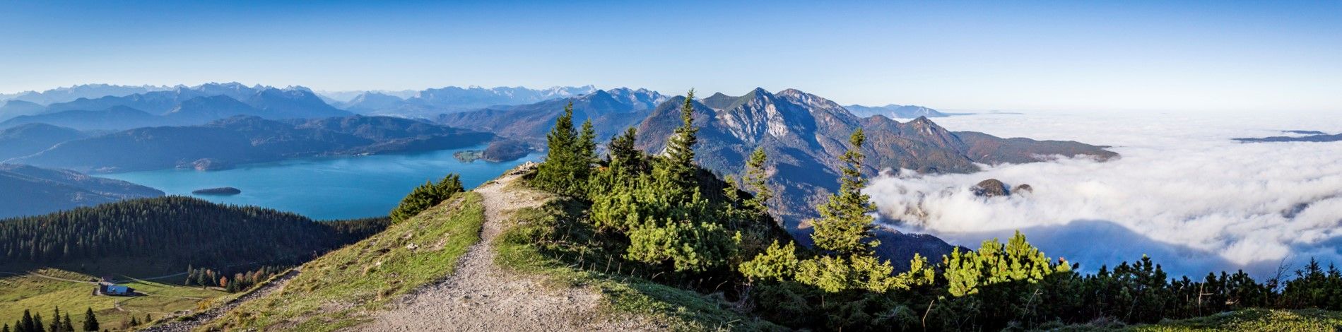
Fairytale landscapes & alpine foothills - hiking in the Tölzer Land in Bavaria
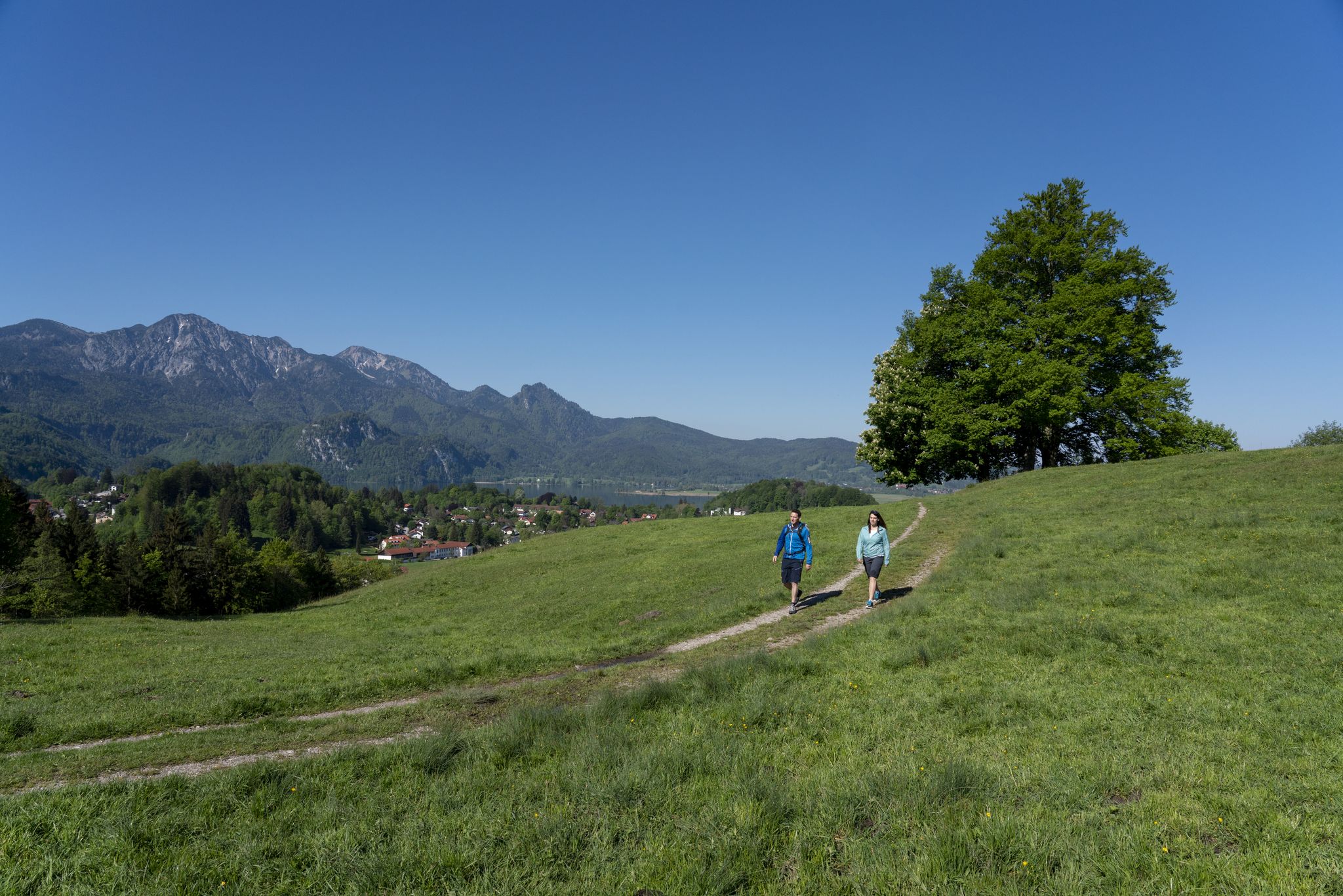
Traumhafte Wanderungen rund um den Kochelsee
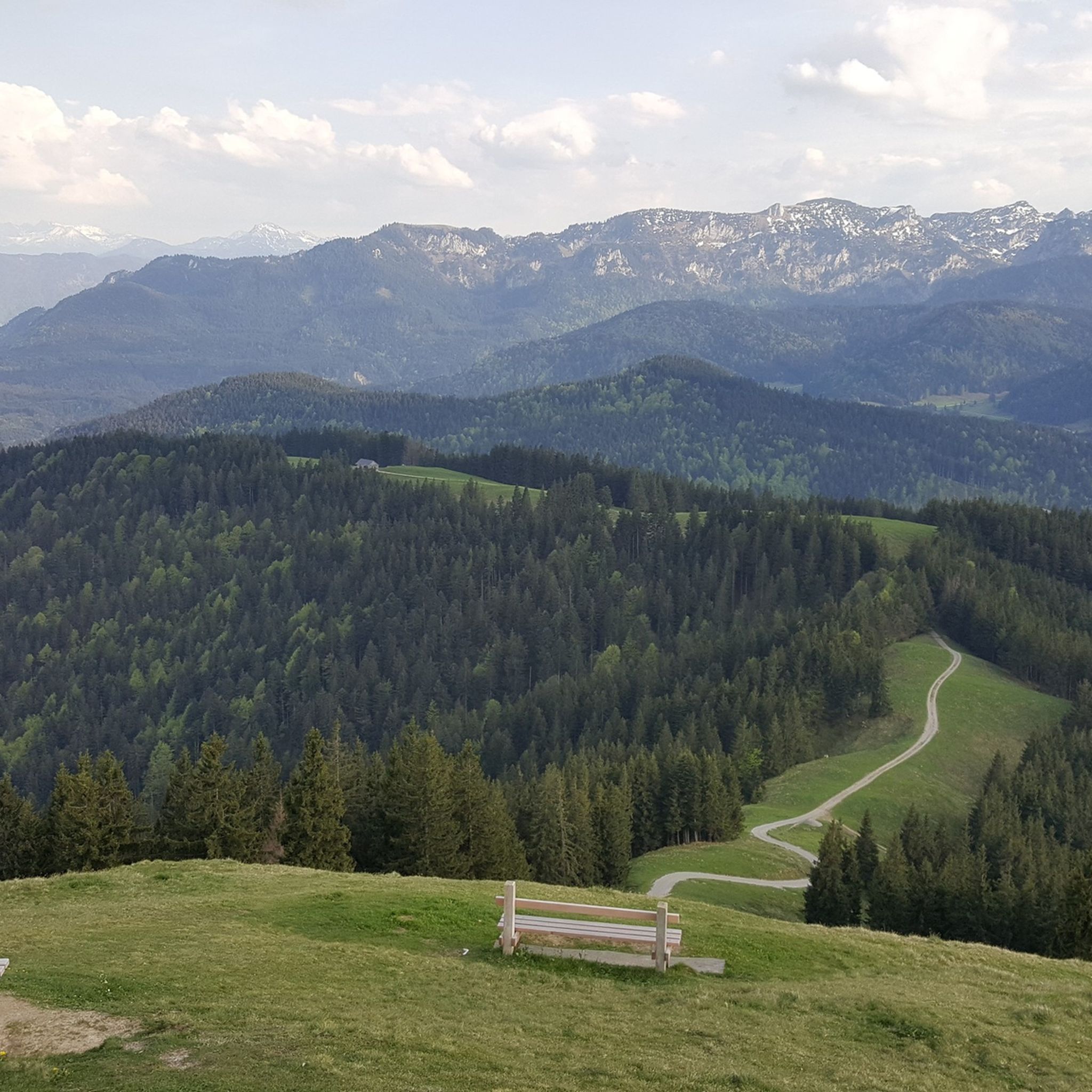
Hiking around Benediktbeuern
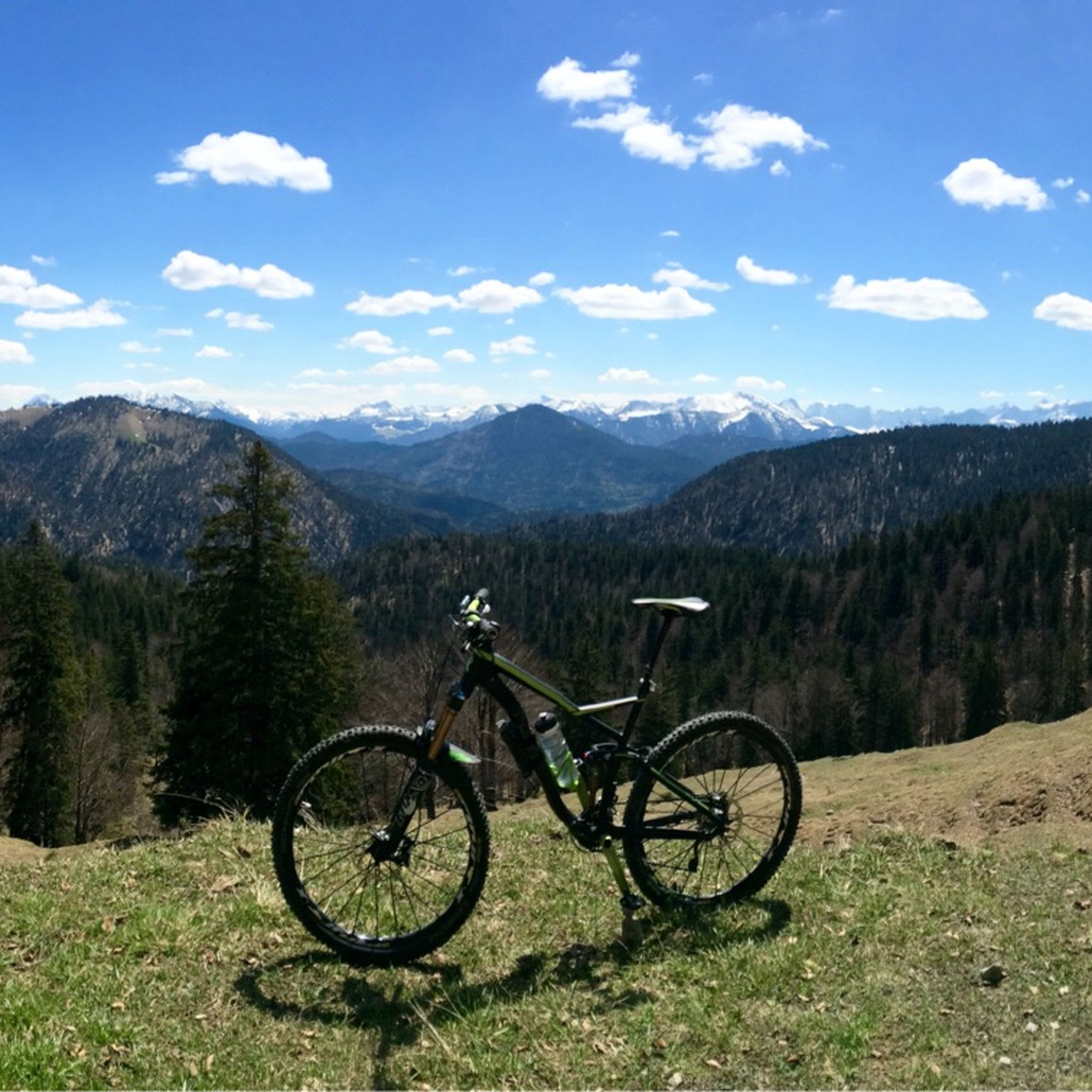
MTB Trails around Benediktbeuern
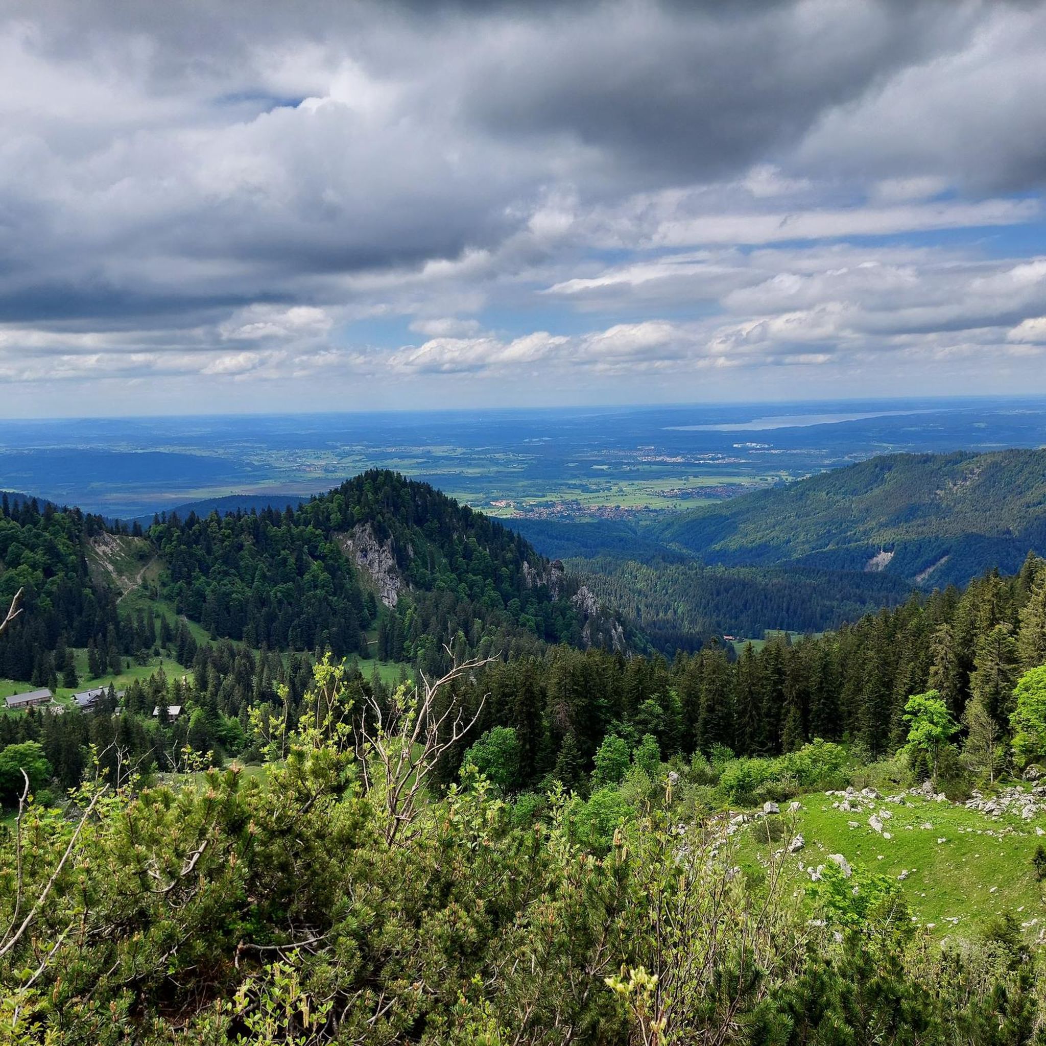
Running Trails around Benediktbeuern
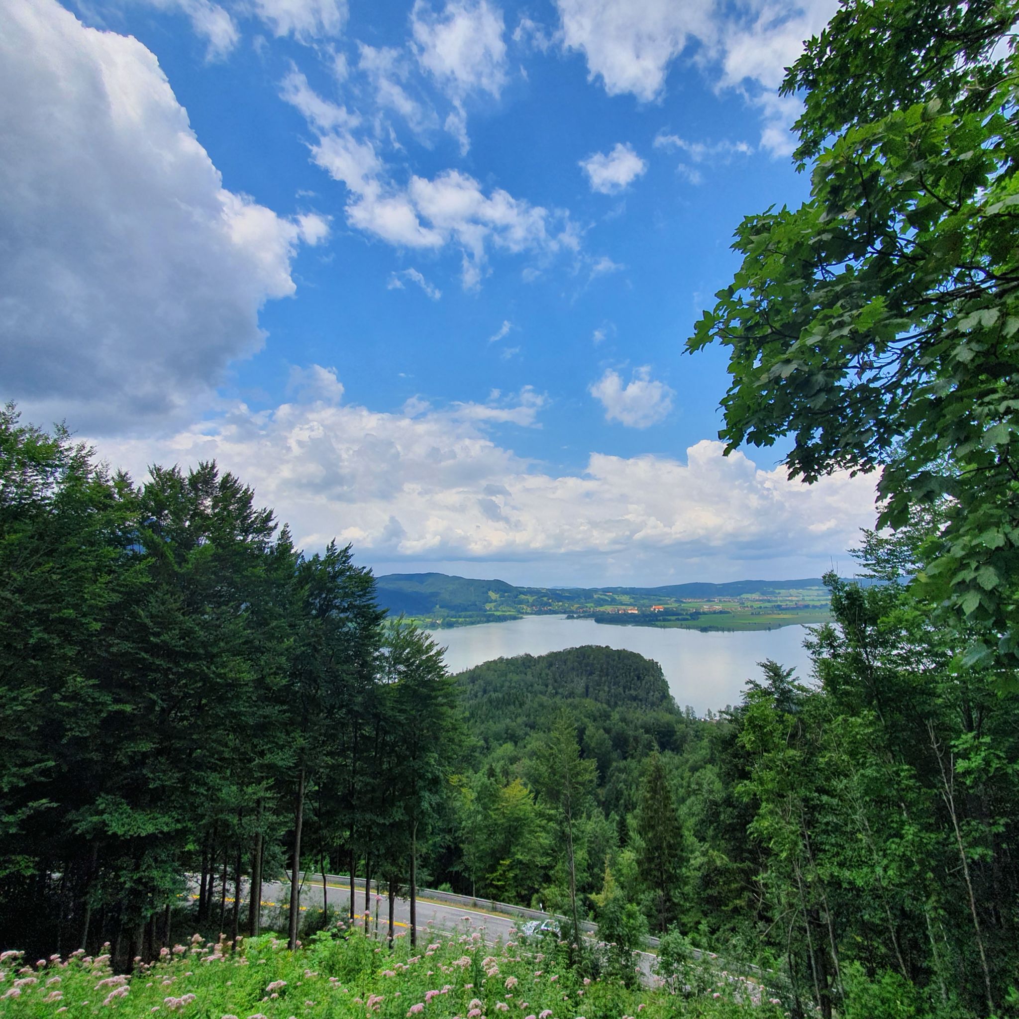
Road Cycling Routes around Benediktbeuern
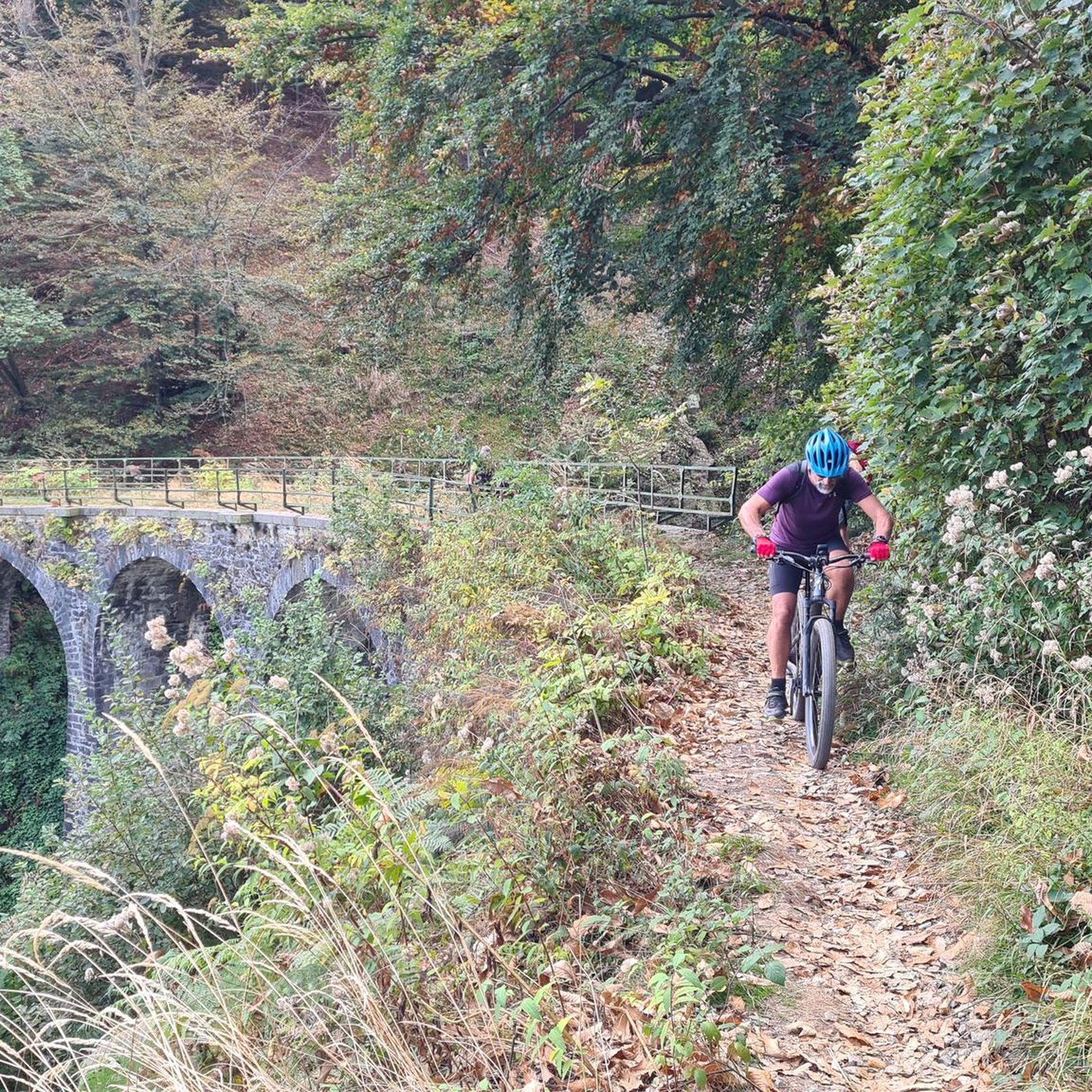
Gravel biking around Benediktbeuern

Mountain Hikes around Benediktbeuern
Other adventures around Benediktbeuern


Tips from the Community

From Kochelsee to its mouth in the Isar It leaves the lake on its northern edge west of Kochel, passes Benediktbeuern and Penzberg and there definitively leaves the northern foothills of the Bavarian Alps. It still flows through Eurasburg and flows into the Isar north of Wolfratshausen in the Auwald Pupplinger Au. Source https://de.wikipedia.org/wiki/Loisach
2
0
From the source to the Bavarian border The Loisach rises in the state of Tyrol between the Lechtal Alps in the west and the Mieminger Mountains in the east, below and northeast of the Fern Pass. Its sources are located in the municipality of Biberwier, near the Mittersee lake, close to the B 179. From there, its water flows northwards through the Ehrwalder Becken and then along the B 187 through Ehrwald and westwards past the Zugspitze to the German border. From Garmisch-Partenkirchen to Kochelsee On the Bavarian side, it first passes Griesen in a northeasterly direction and then flows past Grainau to Garmisch, the largest district of Garmisch-Partenkirchen. Afterwards, it continues north between the Ammergau Alps in the west and the Estergebirge in the east. Via Farchant, Oberau and Eschenlohe, as well as past Ohlstadt and Murnau, the Loisach reaches Großweil, where it turns southeast and flows into the western part of Kochelsee near Schlehdorf, north of the Herzogstand. Source https://de.wikipedia.org/wiki/Loisach
3
0
The name is based on the Indo-Germanic root *leubʰ, meaning 'dear'. It is derived with an s as a suffix. The name refers to the pleasant course of the river.[3] Earlier name forms are Liubasa (1003), Lyubasa (ca. 1052), Liubisaha (1148–1155), Livbisaha (12th century), Liubsaha (1258), Leusach (1332), Leusach (1348), Lewsach (1424), Loysach (1536) and finally Loisach in 1553.[4] Source https://de.wikipedia.org/wiki/Loisach
3
0
The Loisach is a 113.2 km[1] long, south-southwesterly and left tributary of the Isar in Austria and Germany. It originates north of the Fern Pass in Tyrol and flows into the Isar after a northeasterly course near the Bavarian town of Wolfratshausen. Source https://de.wikipedia.org/wiki/Loisach
3
0

The Schusterhaus in Kochel am See is a historic building with a long history. Shoemaking was practiced there from 1581 onwards. After the death of the last shoemaker, the municipality took over the house. The local history association has since been responsible for its preservation and the establishment of a museum. Today, there is also a café, and guided tours can be booked on request. Opening hours: May to the end of September. Friday 2 PM to 4:30 PM, Saturday and Sunday 11 AM to 4:30 PM. Admission price: €2.50 per person. Admission is free for children and holidaymakers with a guest card.
0
0

The silhouette of the Zugspitze can be recognized from afar! The only Zugspitze that is punctual in Germany 🤣
0
0
Alpine panorama
0
0

Goes properly over the mountain, but a unique descent.🌲🌲
0
0
Frequently Asked Questions
How many touring cycling routes are available around Benediktbeuern?
Benediktbeuern offers a wide selection of touring cycling routes, with over 50 options available. These routes cater to various skill levels, from easy paths through wetlands to more challenging ascents in the alpine foothills.
What kind of terrain can I expect on touring cycling routes in Benediktbeuern?
The terrain around Benediktbeuern is quite diverse. You'll find flat, well-maintained paths along the Isar River and through the Loisach-Kochelsee Moor wetlands, ideal for relaxed rides. However, as the region is nestled in the foothills of the Alps, many routes also feature rolling hills and more significant climbs, especially as you head towards the Benediktenwand mountain ridge or around lakes like Walchensee, offering varied topography for all preferences.
Are there easy touring cycling routes suitable for families in Benediktbeuern?
Yes, Benediktbeuern is well-suited for family-friendly cycling. The region offers numerous easy routes, particularly those that explore the tranquil Loisach-Kochelsee Moor or follow the Isar River. An example of an easy route is the Benediktbeuern pilgrimage site – Benediktbeuern Abbey loop from Benediktbeuern, which is just over 17 km long and passes by the historic Benediktbeuern Abbey.
Can I find challenging touring cycling routes with significant climbs in the Benediktbeuern area?
Absolutely. For those seeking a challenge, the alpine backdrop of the Benediktenwand mountain ridge provides opportunities for more demanding tours. Routes like the Murnauer Moos Cycling Trail – Eschenlohe Alpine landscape loop from Benediktbeuern, which covers over 138 km with more than 1000 meters of elevation gain, offer a strenuous workout and rewarding views. Another challenging option is the Benediktbeuern pilgrimage site – Tutzinger View loop from Benediktbeuern, featuring significant climbs.
What natural landmarks or scenic viewpoints can I discover while cycling in Benediktbeuern?
The region is rich in natural beauty. You can cycle past the vast Loisach-Kochelsee Moor wetlands, offering unique flora and fauna. Routes often provide panoramic views of Kochelsee and Walchensee. For breathtaking vistas, consider routes that lead towards summits like Herzogstand and Jochberg, which offer unparalleled views of the surrounding lakes and the Alps. You can also find natural highlights like the Lainbach Waterfall or explore the Hirschbach Valley.
Are there any historical or cultural attractions along the cycling routes?
Yes, Benediktbeuern is home to the historic Benediktbeuern Monastery, the oldest monastery in Upper Bavaria, which is a cultural focal point. Its grounds include herb and meditation gardens. Many routes, such as the Benediktbeuern pilgrimage site – Benediktbeuern Abbey loop from Benediktbeuern, pass directly by this significant landmark. You might also encounter charming chapels like the Schönmühl Chapel on routes like the Schönmühl Chapel – St. Johannisrain Chapel loop from Benediktbeuern.
Are there circular touring cycling routes available in Benediktbeuern?
Yes, many touring cycling routes in Benediktbeuern are designed as circular loops, making it convenient to start and end your ride in the same location. Examples include the Murnauer Moos Cycling Trail – Eschenlohe Alpine landscape loop from Benediktbeuern and the Swimming cove at Walchensee – View of Walchensee loop from Murnau, which offers a scenic loop around the Walchensee area.
What are the options for parking when starting a touring cycling route in Benediktbeuern?
Benediktbeuern offers various parking options for cyclists. You'll typically find designated parking areas near popular trailheads and within the village center. Many routes are designed to start and end in Benediktbeuern, making it convenient to park your vehicle before heading out on your tour. Specific parking details can often be found on individual route descriptions.
Is it possible to reach touring cycling routes in Benediktbeuern using public transport?
Yes, Benediktbeuern is accessible by public transport, making it possible to reach the starting points of many touring cycling routes without a car. The village has a train station, and regional buses also serve the area. It's advisable to check the local public transport schedules for specific connections and any restrictions on bicycle transport, especially during peak times.
What is the best time of year for touring cycling in Benediktbeuern?
The best time for touring cycling in Benediktbeuern is generally from spring to autumn. From late spring (May/June) through summer (July/August) and into early autumn (September/October), the weather is typically pleasant, and the landscapes are at their most vibrant. The Alpenwarmbad Benediktbeuern is also open from mid-May to mid-September, offering a refreshing stop after a ride. While winter cycling is possible, some higher-elevation paths might be less accessible due to snow.
Can I bring my dog on touring cycling routes in Benediktbeuern?
Many touring cycling routes in Benediktbeuern are suitable for cycling with dogs, especially those on wider paths and less technical terrain. However, it's always important to keep your dog on a leash, especially in nature reserves like the Loisach-Kochelsee Moor, and to be mindful of other cyclists and pedestrians. Always carry water for your dog and check specific route regulations, as some protected areas may have restrictions.
What do other cyclists say about touring cycling in Benediktbeuern?
The touring cycling routes around Benediktbeuern are highly regarded by the komoot community, with an impressive average rating of 4.7 stars from over 400 reviews. Cyclists frequently praise the diverse landscapes, from the serene wetlands to the stunning alpine views, and appreciate the well-developed network of paths that cater to all ability levels. Many also highlight the cultural attractions and natural beauty encountered along the way.
Are there any long-distance touring cycling routes that pass through Benediktbeuern?
Yes, Benediktbeuern is strategically located on significant long-distance cycling routes. The village is part of the 410 km Bodensee-Königssee-biketour, which traverses the foothills of the Alps. Additionally, the famous Isar Cycle Path runs nearby, offering opportunities for extended tours along the clear waters of the Isar River, either towards Munich or deeper into the mountains.
Most popular routes around Benediktbeuern
Most popular attractions around Benediktbeuern

Get inspired with the komoot mobile app


Explore more
Browse the best Cycling routes in other regions.
