The 6 Most Amazing Peaks around Fallbach
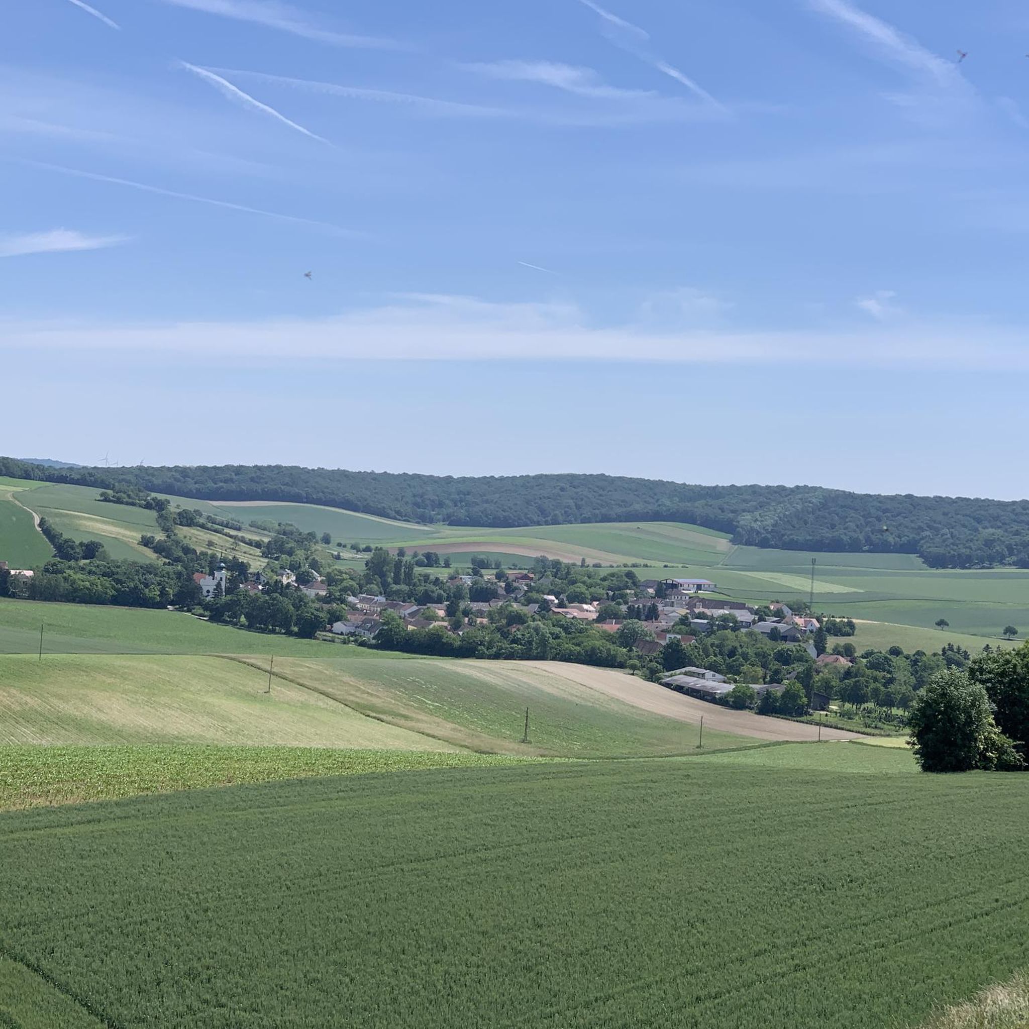
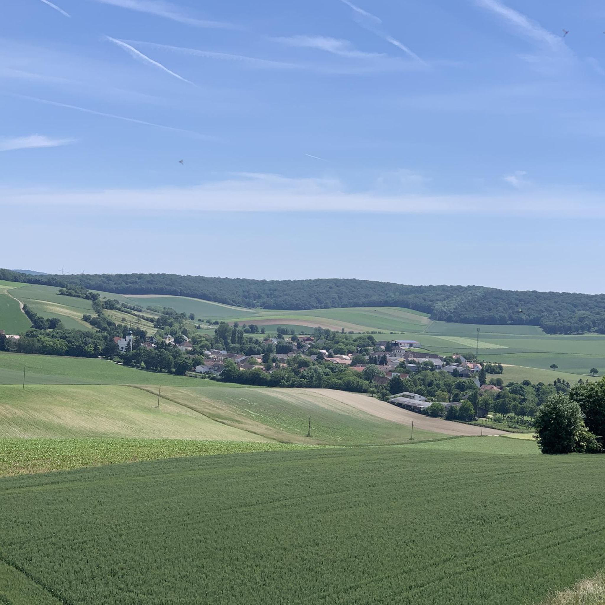
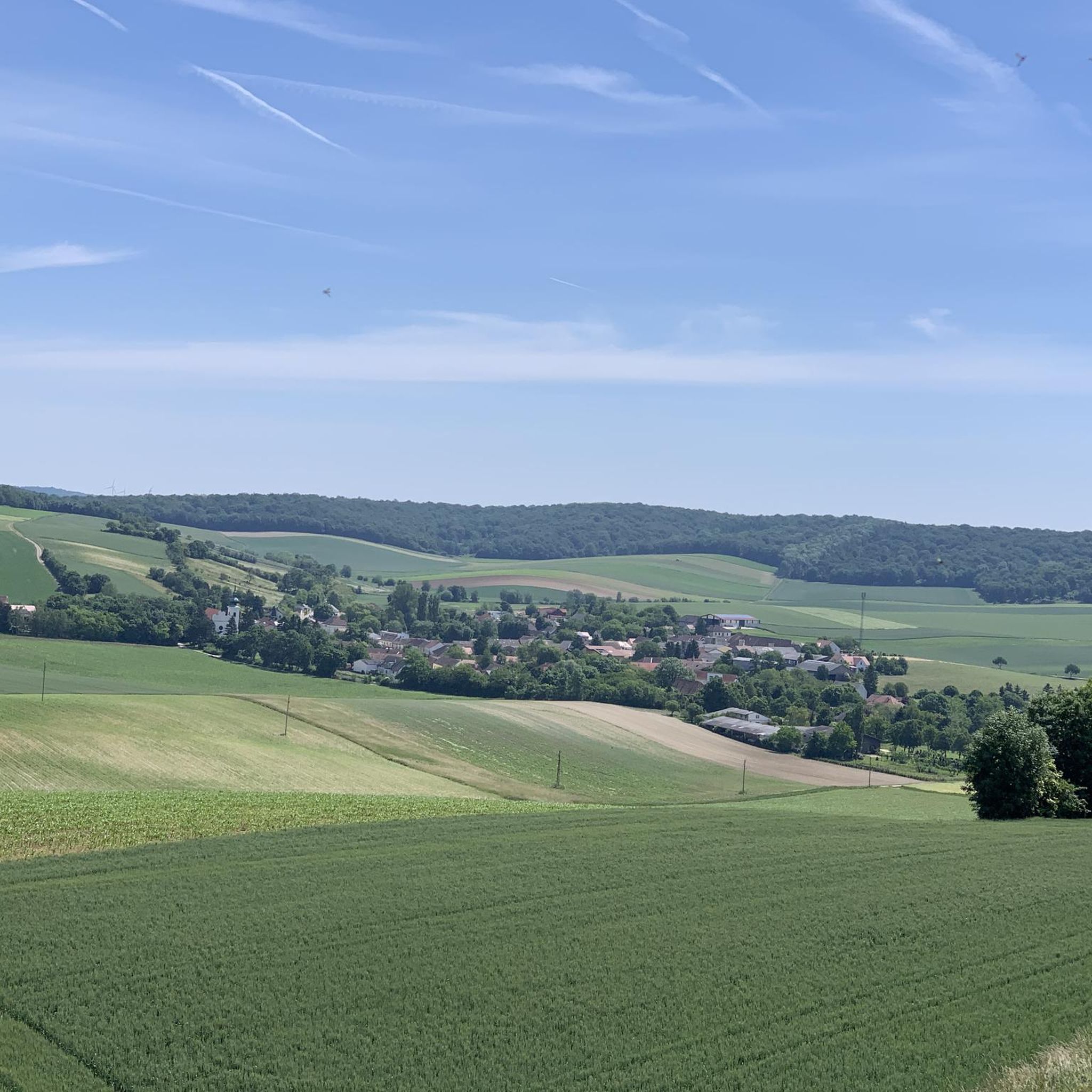
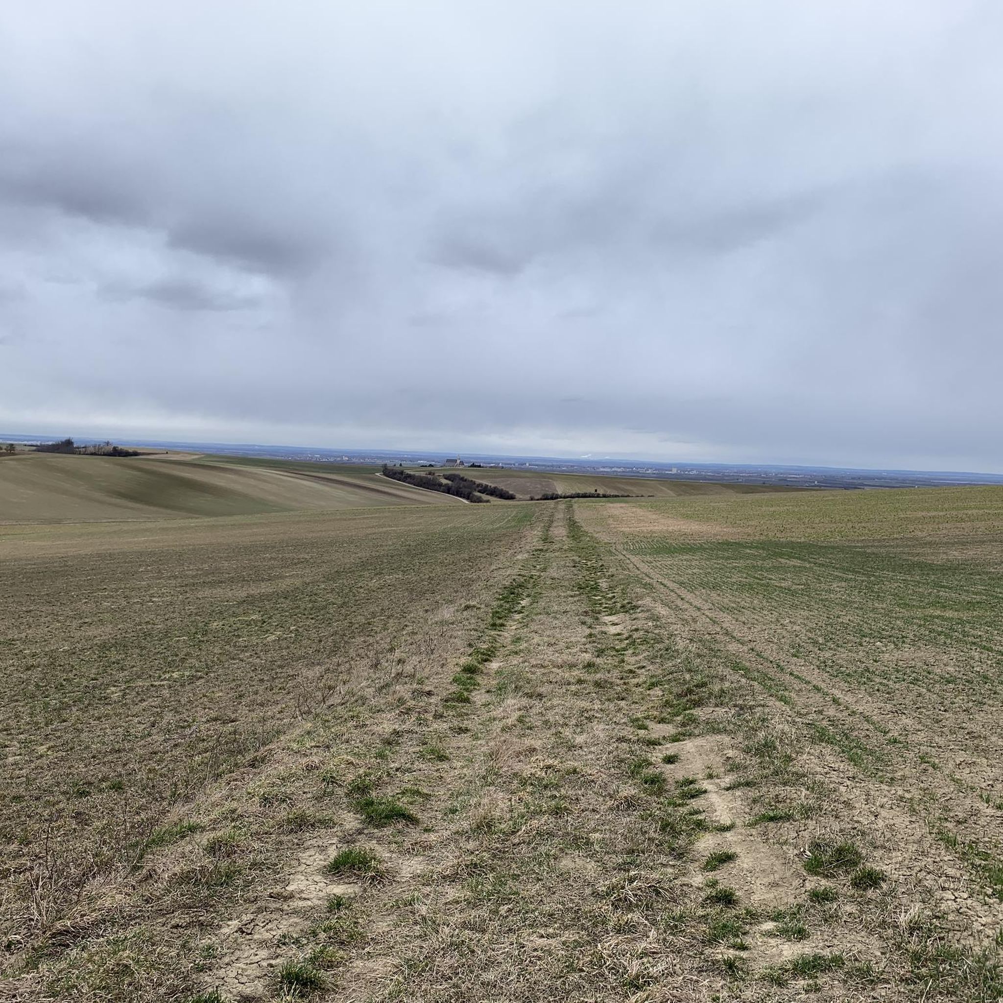
Best mountain peaks around Fallbach are found in a region characterized by accessible summits and historical landmarks. This area offers diverse viewpoints across the landscape, including views extending to the Czech Republic and Schneeberg on clear days. The terrain features limestone cliffs and rolling hills, providing opportunities for exploration. It is a region where natural elevations often host historical ruins or significant cultural markers.
Best mountain peaks around Fallbach
- The most popular mountain peaks is Buschberg Summit Cross, a…
Last updated: October 4, 2026
Buschberg Summit Cross
Highlight • Summit
The Buschberghütte, Austria's lowest mountain shelter, is nearby.
Translated by Google •
Tip by

Road Over Buschberg
Highlight (Segment) • Trail
Translated by Google •
Tip by

Sign up now to discover places like this
Get recommendations on the best single tracks, peaks, & plenty of other exciting outdoor places.
Ruins of Staatz Castle
Highlight • Castle
Translated by Google •
Tip by

Buschberg
Highlight • Summit
Translated by Google •
Tip by

Buschberg Radar Dome (Goldhaube)
Highlight • Monument
Translated by Google •
Tip by

Sign up for free to discover even more peaks around Fallbach.
Already have an account?
Start today with a free account
Your next adventure awaits.
Tips from the Community


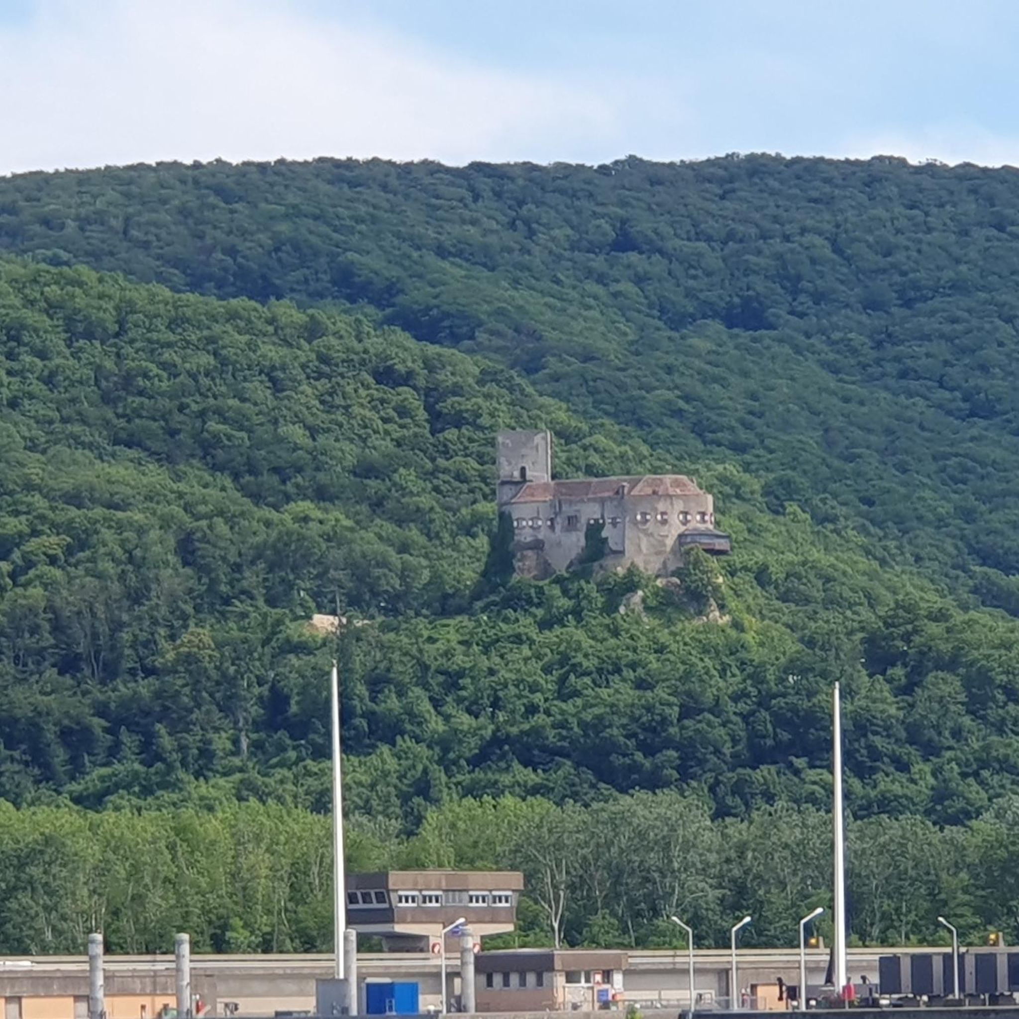
Ruin of Staatz, the path is a bit bumpy and rocky. A great view of the area.
3
0

The gold hood is the larger of the two.
0
1
Visible from afar, the Staatz ruins rise up on the roughly 100-metre-high rock cone on the Laaer plain. The mighty limestone cliffs form the most characteristic geological unit of the Weinviertel, which can only be found here, in Falkenstein and in the adjacent South Moravia.
0
0

Near the summit is the Buschberghütte, it is at 484 m. In front of the hut is a playground, behind it is a radar station of Austro Control for civil aviation in eastern Austria.
4
0

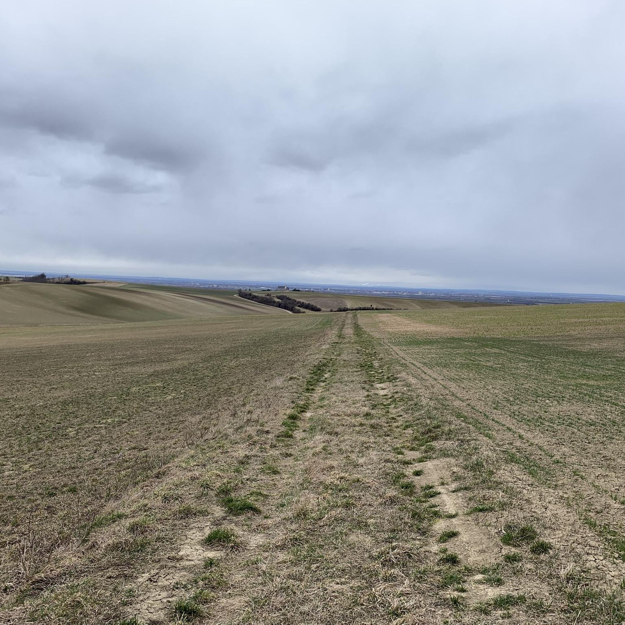
The Buschberg, the Mecca for racing cyclists in the Weinviertel? Certainly one of the most beautiful landscapes in this region and one of the few opportunities to ride longer climbs or descents in the Weinviertel. Otherwise, in the hill country you have to deal with many and sometimes quite steep but rather short climbs and descents. In addition, the "mountain finish" is a worthwhile goal. In fact, with the Buschberg summit you are on the highest elevation in the Weinviertel, the roof of the region so to speak (491 m). There are essentially three climbs/descents for racing bikes (many more for mountain bikes). The most difficult option is probably that from Niederleis - the most strenuous in the climb, as it is the steepest and longest, and the most dangerous in the descent, as it has the most bends. The climbs from Pyhra or Gnadendorf and from Michelstetten or Schletz are a little more comfortable (the last section is the same on the climbs from Michelstetten and Niederleis). The climb from Pyhra or Gnadendorf is perhaps the easiest, as it hardly ever exceeds 10%. The section through the forest from or to Michelstetten/Schletz is very beautiful (there is also a slightly flatter section here) - but be careful on the descent: at the end, after a gradient of around 10% (this is the steepest section of the climb on this variant), there is a confusing T-junction with a stop sign (left goes to Michelstetten, right to Schletz) - in June and July, visibility is often further restricted by tall grain. If you drive too fast here, you risk a serious accident. You can drive over the ridge from all sides (past the car park). From the car park, there is an asphalted section towards the summit. However, it should be noted that there is a general driving ban. This section would be a bit of a challenge, as in places - especially in the last section - it has a gradient of over 10% (although this is not a big deal compared to passes in mountainous areas). Here too, caution would be required on the descent due to the many, sometimes tight, bends, and particular attention should be paid to hikers and other cyclists. The summit itself is not accessible, not even for hikers, as the radar station for civil air traffic, the "radar ball", is visible from afar. Below it, you can stop off at the lowest Alpine Club hut (Buschberghütte).
2
0
The Buschberg, the Mecca for racing cyclists in the Weinviertel? Certainly one of the most beautiful landscapes in this region and one of the few opportunities in the Weinviertel to ride longer climbs or descents. Otherwise you have to deal with many and sometimes quite steep but rather short climbs and descents in the hill country. In addition, the "mountain arrival" is a worthwhile goal. In fact, the Buschberg summit is the highest elevation in the Weinviertel, the roof of the region, so to speak (491 m). There are essentially three climbs/descents for road bikes (much more for mountain bikes). The most difficult option is probably that of Niederleis - the most strenuous on the ascent, as it is steepest and longest, and the most dangerous on the descent, as it has the most bends. The climbs from Pyhra or Gnadendorf and from Michelstetten or Schletz, on the other hand, are a little more leisurely (the last section is the same for the climbs from Michelstetten and Niederleis). The climb from Pyhra or Gnadendorf is perhaps the easiest as it almost never gets above 10%. The section through the forest from and to Michelstetten/Schletz is very nice (there are also flatter sections here) - but be careful on the descent: at the end there is an approximately 8-10% gradient (in the ascent this is the case with this variant one of the steeper sections) a confusing T-junction with a stop sign (to the left it goes to Michelstetten, to the right to Schletz) - in June and July the view here is often additionally limited by tall crops. If you have a decent tooth here, you risk a nasty accident. You can drive over the ridge from all sides (past the car parking lot). From the parking lot, an asphalted section leads towards the summit. However, reference should be made to the general driving ban. This piece would be a bit of a challenge again, as it has a gradient of more than 10% in places - especially in the last section (not a big deal compared to passes in mountainous areas, of course). Here, too, caution would be required on the descent due to the many sharp bends, and pay particular attention to hikers and other cyclists. The summit itself is not accessible, not even for hikers, since the radar station, the "radar ball", for civil air traffic, which can be seen from afar, is located there. Below it you can stop at the lowest Alpine Club hut (Buschberghütte).
0
0

Brilliant view, but dragging the bike up is bad, descent for MTB and less for Gravel
3
0
Frequently Asked Questions
What are the most popular mountain peaks and viewpoints around Fallbach?
The region around Fallbach offers several popular spots. The Buschberg Summit Cross is highly regarded for its all-round views and is the highest elevation in the Leiser mountains. Another favorite is the Ruins of Staatz Castle, which sits on a prominent limestone cliff offering excellent panoramic views, even extending to the Czech Republic on clear days. The Buschberg Radar Dome (Goldhaube) is also a notable man-made monument and summit.
Are there historical sites or cultural landmarks among the peaks near Fallbach?
Yes, the area combines natural elevations with significant cultural markers. The Ruins of Staatz Castle is a prominent historical site located on a limestone cliff, offering both historical interest and panoramic views. Additionally, the Buschberg Radar Dome (Goldhaube) is a unique man-made monument and a landmark on the Buschberg.
What kind of views can I expect from the mountain peaks in the Fallbach region?
The peaks around Fallbach offer diverse and extensive views. From the Buschberg Summit Cross, you can enjoy an all-round vista similar to that from the Oberleiser Berg. The Ruins of Staatz Castle provides magnificent views of the surrounding area, including glimpses of the Czech Republic on fine days. From the Heidberg Summit, when the weather is clear, you can even see as far as the Schneeberg.
Are there family-friendly hiking options around the Fallbach peaks?
While specific 'family-friendly' categories aren't listed for all highlights, the area is characterized by accessible summits and rolling hills, suggesting many paths could be suitable for families. The path to the Buschberg Summit Cross is recommended at any time of year, and there's a playground near the Buschberghütte, Austria's lowest mountain shelter, which is close to the summit. For general hiking, you can explore routes in the Hiking around Fallbach guide.
What outdoor activities can I do near these mountain peaks?
Beyond hiking to the summits, the Fallbach region offers various outdoor activities. You can find options for gravel biking and road cycling, with routes ranging from easy to difficult. For hikers, there are numerous trails, including moderate climbs to historical ruins and viewpoints, detailed in the Hiking around Fallbach guide.
What is the best time to visit the mountain peaks around Fallbach?
The path to the Buschberg Summit Cross is recommended at any time of the year, suggesting that many of the peaks and trails are accessible year-round. However, for the best views and most comfortable hiking conditions, spring through autumn typically offers pleasant weather.
Are there any easy mountain hikes for beginners near Fallbach?
The region features accessible summits and rolling hills, making it suitable for various skill levels. While specific 'easy' ratings for individual peak ascents aren't detailed, the general terrain suggests that many paths are manageable for beginners. For instance, the climb to the Anton Gössinger Memorial is described as a 'short but very rewarding climb' with fantastic views, which could be a good option for those new to mountain hiking.
What are the characteristics of the terrain around Fallbach's peaks?
The terrain around Fallbach is characterized by limestone cliffs and rolling hills. For example, the Ruins of Staatz Castle is perched on a limestone cliff that rises about 100 meters above the surrounding area. This varied landscape provides diverse opportunities for exploration.
Can I find amenities like cafes near the mountain trails?
Near the Buschberg Summit Cross, you'll find the Buschberghütte, which is Austria's lowest mountain shelter. This provides a convenient stop for refreshments and is located right near the summit, making it a good option for visitors.
What makes the Buschberg Radar Dome a unique highlight?
The Buschberg Radar Dome (Goldhaube) is unique as it's a man-made monument and a summit. It houses a radar station for civil aviation in eastern Austria and is located on the Buschberg, which stands at 492 meters in height. It offers a distinct visual landmark in the landscape.
What do visitors appreciate most about the mountain peaks around Fallbach?
Visitors to the Fallbach region appreciate the diverse offerings, from natural high points with summit crosses to historical ruins and unique man-made monuments. The komoot community has shown significant engagement, with 213 upvotes and 220 photos shared, highlighting the appeal of the panoramic views, the historical significance of sites like the Ruins of Staatz Castle, and the accessibility of the summits.
Most popular routes around Fallbach
Most popular attractions around Fallbach

Get inspired with the komoot mobile app


Explore more
See even more amazing summits around Fallbach with these guides:
