The best road cycling routes around Palmarejo
32
riders
4
rides
Road cycling around Palmarejo features a diverse landscape, ranging from coastal bay loops to routes with significant elevation gains. The region includes varied terrain, from the flatlands near Toa Baja Bay to the more challenging hills and elevated areas suggested by routes like the "Roadbike loop from Ortiz" with over 1,100 meters of ascent. Road cyclists can expect a mix of open roads and routes that traverse areas with natural water features and elevated viewpoints. The area offers routes that…
Last updated: November 9, 2026
13
riders
51.1km
02:53
1,140m
1,140m
Hard road ride. Very good fitness required. Mostly well-paved surfaces and easy to ride.
8
riders
60.4km
02:52
850m
850m
Moderate road ride. Good fitness required. Mostly well-paved surfaces and easy to ride.

6
riders
47.4km
02:26
850m
850m
Moderate road ride. Good fitness required. Mostly well-paved surfaces and easy to ride.
5
riders
64.5km
03:57
1,660m
1,660m
Hard road ride. Very good fitness required. Mostly well-paved surfaces and easy to ride.
2
riders
78.2km
03:39
870m
870m
Moderate road ride. Good fitness required. Mostly well-paved surfaces and easy to ride.
Our route recommendations are based on thousands of hikes, rides, and runs completed by other people on komoot.
Start today with a free account
Your next adventure awaits.
Tips from the Community

You can road all the way from Cataño county or you can drive until Punta Salinas beach and ride from there. If you came from west, you can drive trough Dorado county. The reference is allways the 165 road number. This sections is closed on Sunday mornings to cars and open exclusive to bicycle riders or pedestrians. On vacations days, the county dons't closes to cars on sundays. You can drive this road any day, even the hurricane one, but unless your own risk.
0
0


Get a well-deserved dip into this urban fresh-water spring just off PR-2.
0
0
The river travels through the municipalities of Ciales, Manatí, Barceloneta, Morovis, Corozal, Barranquitas and Naranjito in Puerto Rico.
0
0
Frequently Asked Questions
How many road cycling routes are available around Palmarejo?
There are 8 road cycling routes around Palmarejo listed on komoot, offering a diverse range of experiences for cyclists.
Are there any challenging road cycling routes in Palmarejo?
Yes, Palmarejo offers routes with significant elevation gains. For instance, the Roadbike loop from Ortiz is a difficult route featuring over 1,100 meters of elevation gain over 51.1 km, ideal for experienced cyclists seeking a challenge.
What kind of terrain can I expect on road cycling routes in Palmarejo?
Road cycling around Palmarejo features a diverse landscape, ranging from coastal bay loops to routes with significant elevation gains. You can expect a mix of open roads, challenging hills, and areas with natural water features and elevated viewpoints.
Are there any moderate road cycling routes suitable for intermediate riders?
Absolutely. Most of the routes in Palmarejo are classified as moderate. The Toa Baja Bay loop from Quebrada Arenas is a popular moderate path covering 59.8 km, offering scenic views of the bay and coastal areas without extreme climbs.
Which routes offer scenic views or natural attractions?
Many routes provide scenic experiences. The Toa Baja Bay loop from Quebrada Arenas offers views of the bay and surrounding coastal areas. For natural features, the Ojo de Agua (Water Spring) – Cerro Miraflores loop from Barrio Pueblo leads through areas with natural springs and hills.
Are there any loop trails for road cycling in Palmarejo?
Yes, all the featured road cycling routes around Palmarejo are loop trails, allowing you to start and end at the same point. Examples include the Roadbike loop from Ortiz and the Roadbike loop from Barrio Pueblo.
What is the typical distance and duration for road cycling routes in this region?
The road cycling routes in Palmarejo vary in length and duration. Distances typically range from around 47 km to 78 km. Durations can range from approximately 2 hours 25 minutes to over 3 hours 30 minutes, depending on the route's length and elevation gain, as seen with routes like the Toa Baja Bay loop from Corozal (78.1 km).
What do other road cyclists enjoy most about road cycling in Palmarejo?
The komoot community frequently praises the diverse landscape of Palmarejo, highlighting the mix of coastal bay paths and challenging hills. Cyclists appreciate the variety of routes that cater to different fitness levels, from moderate rides to more difficult climbs with significant elevation changes.
Are there any longer road cycling routes for endurance training?
For longer rides, the Toa Baja Bay loop from Corozal stands out at 78.1 km, offering a substantial distance for endurance training while still providing moderate elevation changes.
Can I find routes that combine coastal views with inland exploration?
Yes, the region's geography allows for this. Routes like the Toa Baja Bay loop from Quebrada Arenas offer coastal bay views, while others like the Ojo de Agua (Water Spring) – Cerro Miraflores loop from Barrio Pueblo delve into hilly, inland areas with natural springs, providing a varied experience.
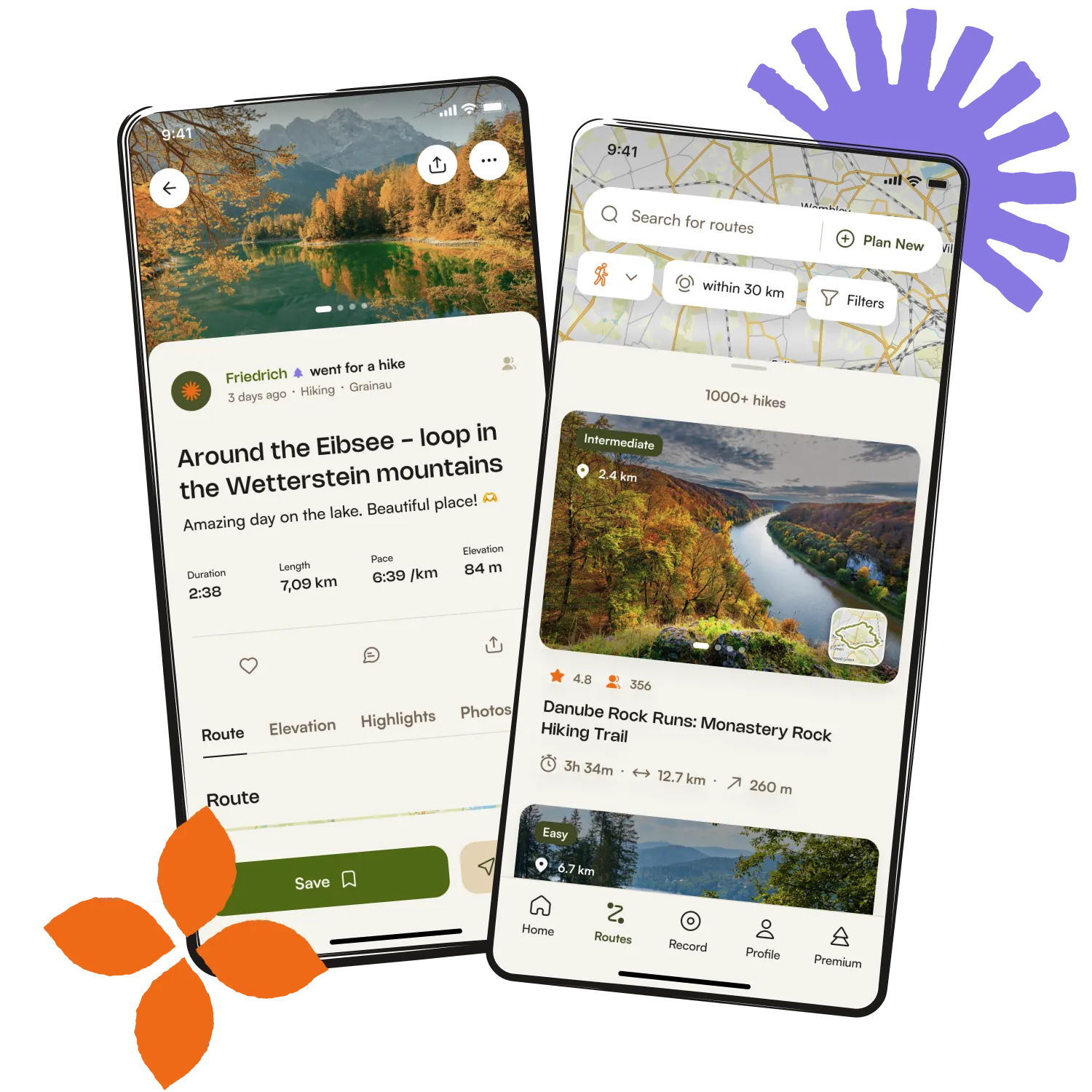
Get inspired with the komoot mobile app


Explore more
Browse the best Road cycling routes in other regions.