The best road cycling routes in Agua Tibia Wilderness
5.0
(4)
221
riders
8
rides
If you've ever tried to plan road cycling in Agua Tibia Wilderness, you know how overwhelming the options can be. It's tough to tell which routes are genuinely worth your time and effort, and which are just filler. That's where komoot comes in. Our community has ridden, reviewed, and mapped the best road cycling routes in the surrounding region, so you don't have to sift through endless possibilities. We've done the legwork to bring you a curated shortlist of rides…
Last updated: May 30, 2026
7
riders
This moderate 30.5-mile (49.1 km) road cycling route, with 959 feet (292 metres) of elevation gain, offers a diverse journey through Temecula's landscape, typically taking around 2 hours and 19…
6
riders
89.5km
04:30
1,280m
1,280m
Hard road ride. Very good fitness required. Some segments of this route may be unpaved and difficult to ride.

Sign up for free
5.0
(3)
35
riders
46.7km
02:43
1,080m
1,080m
Hard road ride. Very good fitness required. Mostly well-paved surfaces and easy to ride.
7
riders
86.6km
03:57
850m
850m
Moderate road ride. Good fitness required. Mostly well-paved surfaces and easy to ride.
11
riders
Moderate road ride. Good fitness required. Some segments of this route may be unpaved and difficult to ride.
Get access to more routes and recommendations from other explorers.
Sign up for free
Already have an account?
Our route recommendations are based on thousands of hikes, rides, and runs completed by other people on komoot.
Start today with a free account
Your next adventure awaits.
Login or Signup
Popular around Agua Tibia Wilderness

Tips from the Community

De Portola Road winds throught Temecula Valley Wine Country, with a mix of rolling hills, vineyards, and open roads. Expect steady climbs, sweeping views, and light traffic on weekdays. It’s a great area for a ride with plenty of photo stops—and if you plan ahead, you can even finish at one of the wineries for a post-ride treat.
1
0
De Portola Road winds through the vineyards of Temecula, with the landscape turning green from the rows of grapevines. Along the way, you’ll also pass farms with longhorn bulls and buffalos. It’s a scenic and enjoyable road for a ride.
1
0
From Linda Rose, you can stop to see Galway Downs from above. It’s an equestrian facility, so if you’re lucky, you might catch some horses training.
0
0
Kica Mik Overlook is a great spot to catch your breath after the steady climb up Mount Lemmon Highway. The overlook gives you a wide view across the desert and distant mountain ranges, like Santa Rita Mountains and Rincon Mountains. There's room to safely pull over and take a break before tackling the next stretch.
0
0

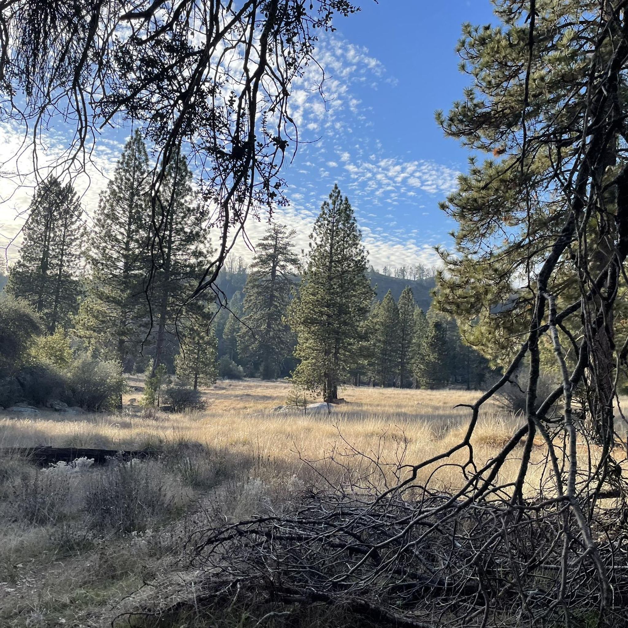
Palomar Mountain offers a wide range of beautiful natural surroundings. You can explore dense forests of pine, fir, and cedar, open meadows, and enjoy stunning views from this point.
0
0

There is still a little market to resupply. Awesome muffins! Just go past the gas pumps and you can't miss it.
0
0

Nice stretch of road with large tree canopy overhead.
0
0

This spot used to be Rainbow Oaks Country Market, but it is now Rainbow Oaks Restaurant. It offers full-service meals.
0
0
Frequently Asked Questions
Are bicycles permitted within the Agua Tibia Wilderness area itself?
No, federal regulations prohibit motorized equipment and mechanical transport, including bicycles, within the designated Agua Tibia Wilderness area. Road cycling opportunities are available in the surrounding region on mostly paved surfaces. You can find more information about wilderness regulations on the BLM website.
Where can I find road cycling routes near the Agua Tibia Wilderness?
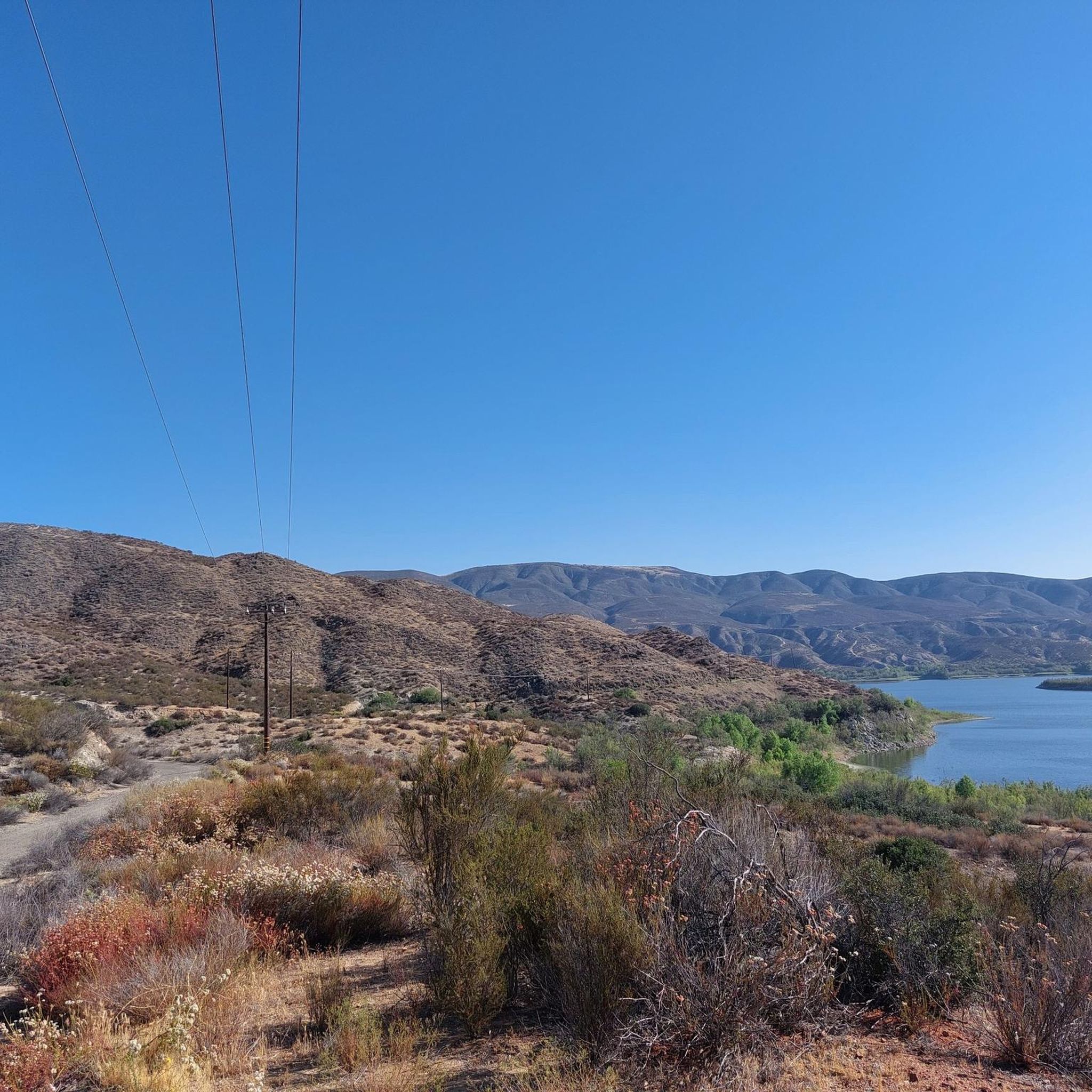
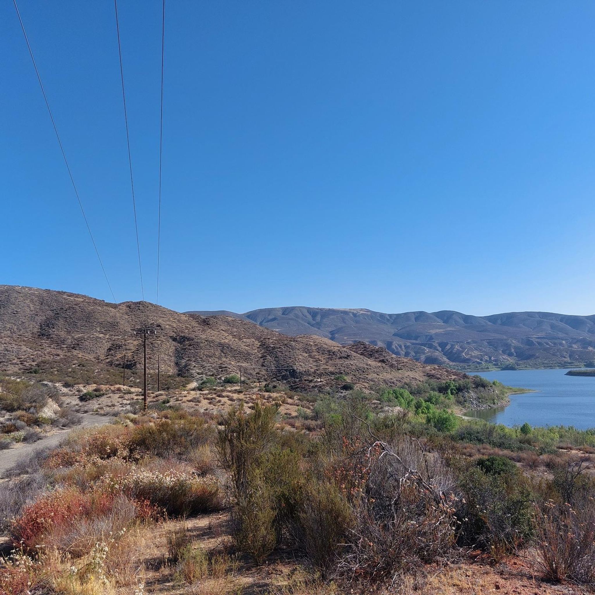
Road cycling routes are located in the region surrounding the wilderness, often starting near locations like Dripping Springs or within the Temecula area. These routes allow cyclists to experience the scenic beauty of the broader region, with views of picturesque hills around Vail Lake and varying terrain.
What kind of terrain can I expect on road cycling routes in the Agua Tibia Wilderness region?
The surrounding region offers diverse terrain with minor grades, picturesque hills, and views of oak woodlands. While the wilderness itself is rugged, the cycling routes are primarily on paved surfaces, providing a mix of challenges and scenic stretches.
Are there routes suitable for beginners or families in the Agua Tibia Wilderness region?
Yes, the network of routes in the broader region offers options for various ability levels, including easy and moderate routes. These routes often feature minor grades and scenic views, making them suitable for less experienced cyclists or family outings.
What are some challenging road cycling routes for advanced riders in the area?
For advanced riders seeking a challenge, routes like the Lawrence Welk Resort Village – Rainbow Oaks Restaurant loop from Pala offer significant elevation gain over its 55.6 miles. Another difficult option is the Palomar East Grade – Palomar Mountain loop from Palomar Mountain State Park, which features over 1000 meters of ascent.
How many road cycling routes are available in the Agua Tibia Wilderness region?
There are over 10 road cycling routes available in the region surrounding Agua Tibia Wilderness, catering to various skill levels from easy to difficult.
What do other road cyclists enjoy most about the routes in the Agua Tibia Wilderness region?
The routes in the Agua Tibia Wilderness region are highly rated by the komoot community, with an average score of 5.0 stars. Cyclists often praise the picturesque hills, oak woodlands, and the varying terrain with minor grades that define the area's cycling experience.
Are there any notable landmarks or natural features to see along the road cycling routes?
While the routes are outside the designated wilderness, they offer views of the broader region's natural beauty, including picturesque hills around Vail Lake. For impressive waterfalls, you might consider visiting nearby Cleveland National Forest, which features Cedar Creek Falls, Kitchen Creek Falls, and Three Sisters Falls, though these are typically accessed via hiking trails.
Are there any loop trails for road cycling in the Agua Tibia Wilderness region?
Yes, many of the road cycling routes in the surrounding region are designed as loops. Examples include the popular Old Town Temecula – City of Temecula Civic Center loop and the Harveston Lake Fountain loop, both starting from Great Oak High School.
What is the best season for road biking in the Agua Tibia Wilderness region?
The region generally offers pleasant cycling conditions for much of the year. However, it's always advisable to check local weather forecasts, especially during summer months when temperatures can be high, or in winter for cooler, potentially rainy days.
Are there any long-distance road cycling routes in the area?
Yes, for those looking for longer rides, routes such as the Winchester Road – Rancho California Road loop from Aldea covers over 53 miles (86 km), offering an extended cycling experience through the region.
Most popular routes in Agua Tibia Wilderness

Get inspired with the komoot mobile app


Explore more
Browse the best Road cycling routes in other regions.
