The best MTB trails around Forst Lohrerstraße
4.7
(2676)
9,135
riders
478
rides
Mountain bike trails around Forst Lohrerstraße offer diverse terrain, situated on the edge of the Spessart Mountains and along the Main River. This region in Bavaria, Germany, features varied topography ranging from gentle hills to challenging, steep climbs. Dense forests and an extensive trail network, including the "Bikewald Spessart," create an ideal environment for mountain biking. The area provides a mix of single trails, forest roads, and demanding sections suitable for various skill levels.
Best mountain bike trails around Forst…
Last updated: July 1, 2026
5.0
(8)
15
riders
32.6km
02:49
670m
670m
Moderate mountain bike ride. Good fitness required. Advanced riding skills necessary.
4.6
(5)
17
riders
16.4km
01:36
350m
350m
Moderate mountain bike ride. Good fitness required. Advanced riding skills necessary.

Sign up for free
4.0
(2)
9
riders
23.2km
02:11
470m
470m
Moderate mountain bike ride. Good fitness required. Advanced riding skills necessary.
2
riders
Moderate mountain bike ride. Good fitness required. Suitable for all skill levels.
4
riders
42.3km
04:27
1,240m
1,240m
Hard mountain bike ride. Very good fitness required. Advanced riding skills necessary.
Get access to more routes and recommendations from other explorers.
Sign up for free
Already have an account?
Our route recommendations are based on thousands of hikes, rides, and runs completed by other people on komoot.
Start today with a free account
Your next adventure awaits.
Login or Signup
Tips from the Community

In recent years, it has become quieter around the little castle.
0
0

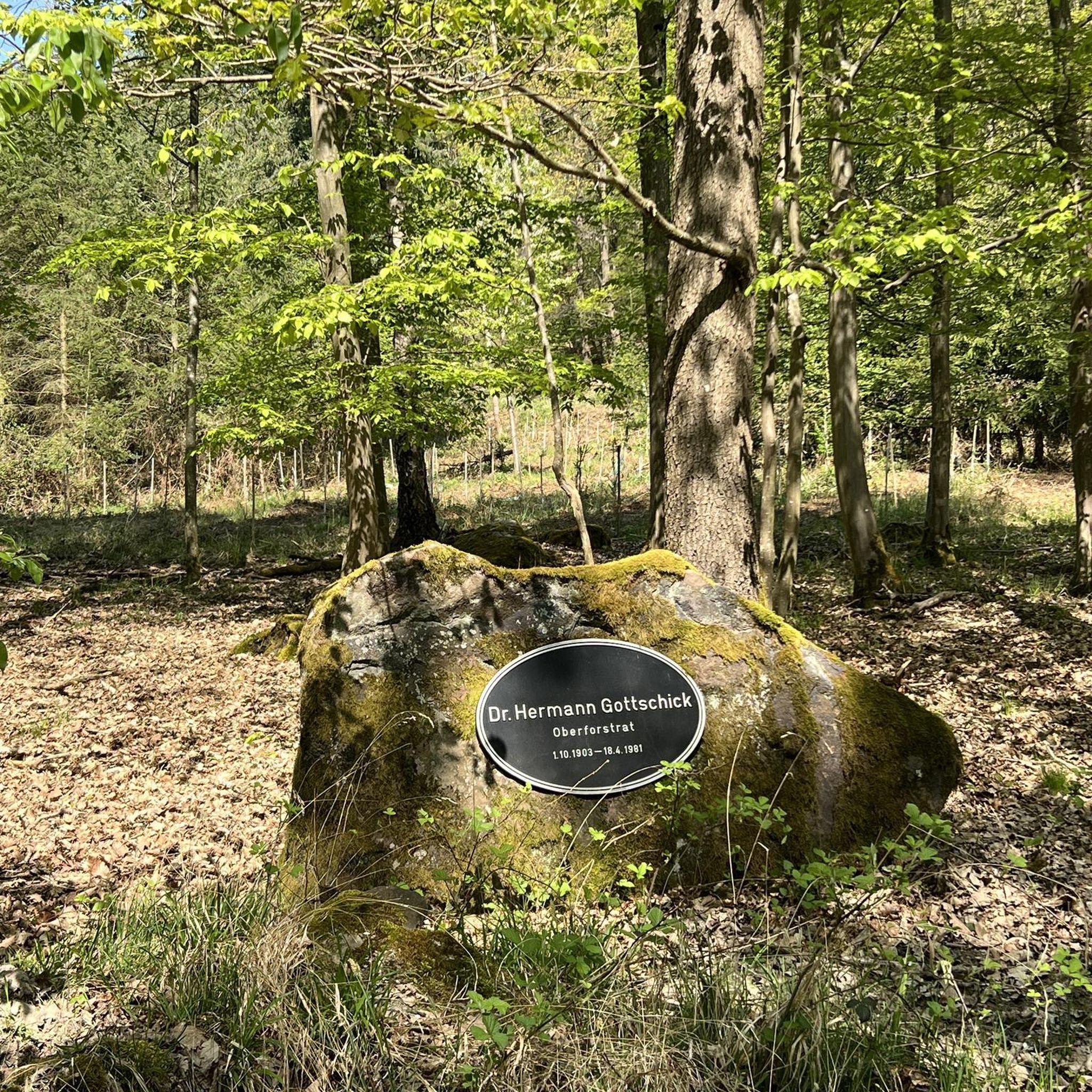
A signpost of a slightly different kind, but superbly done.
8
0

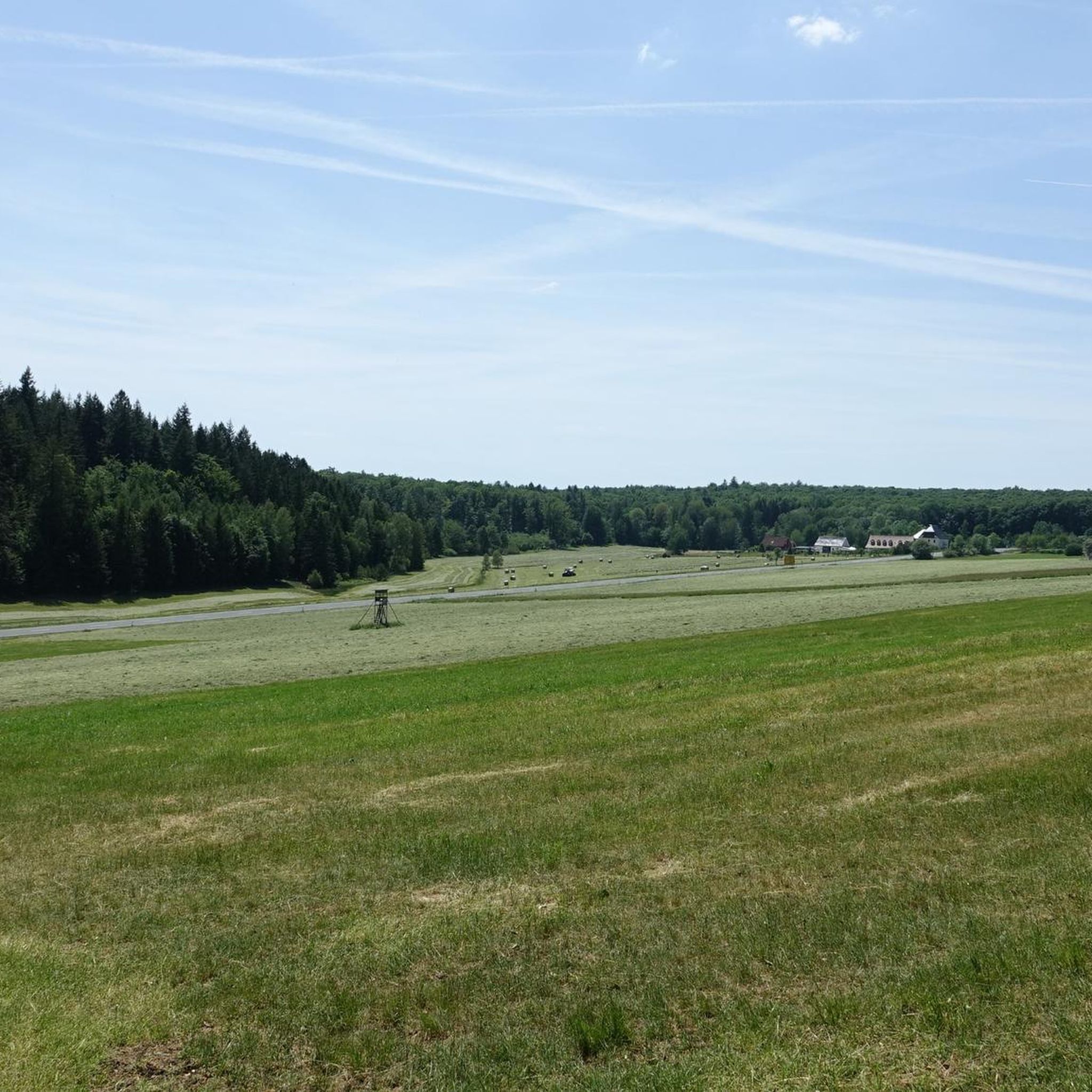
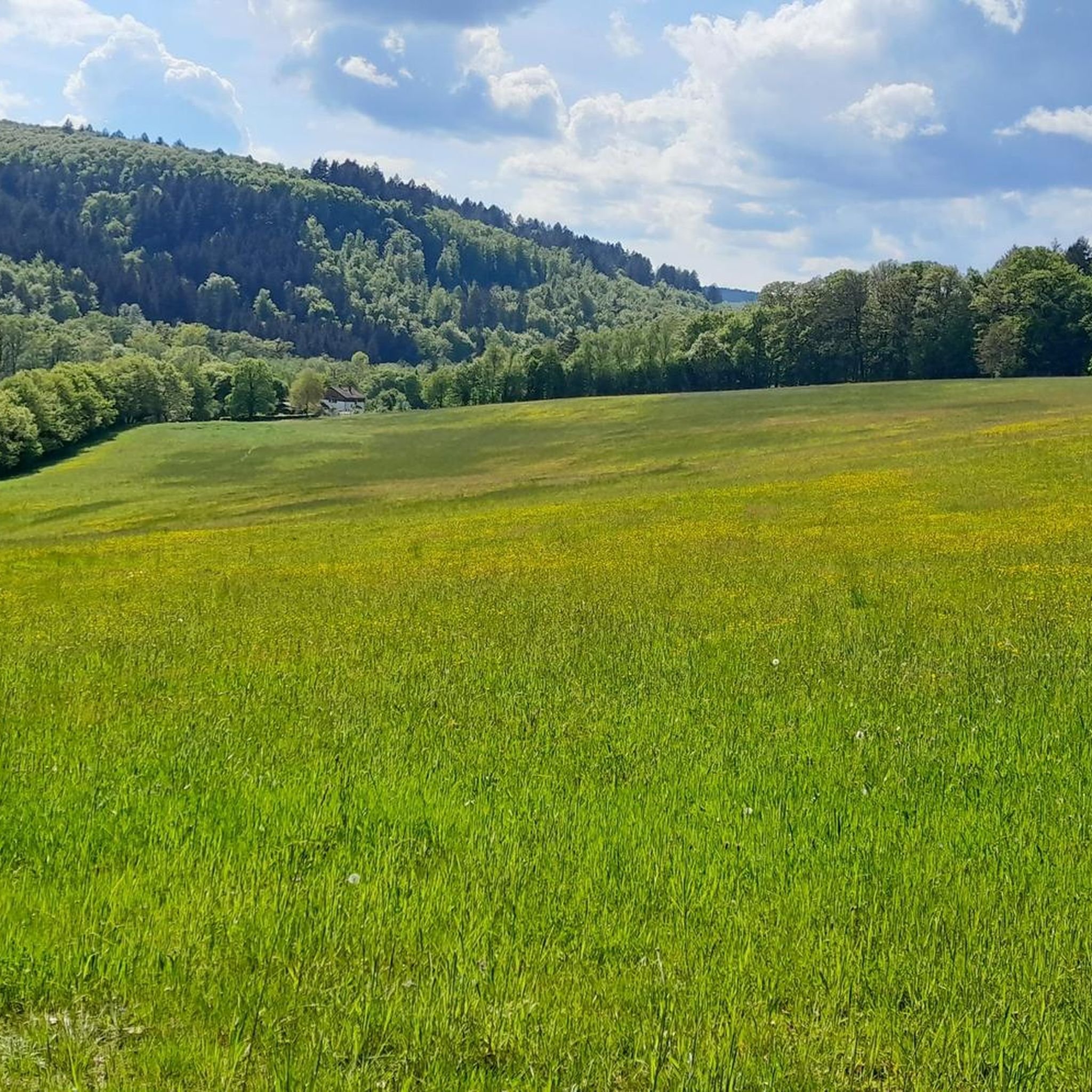
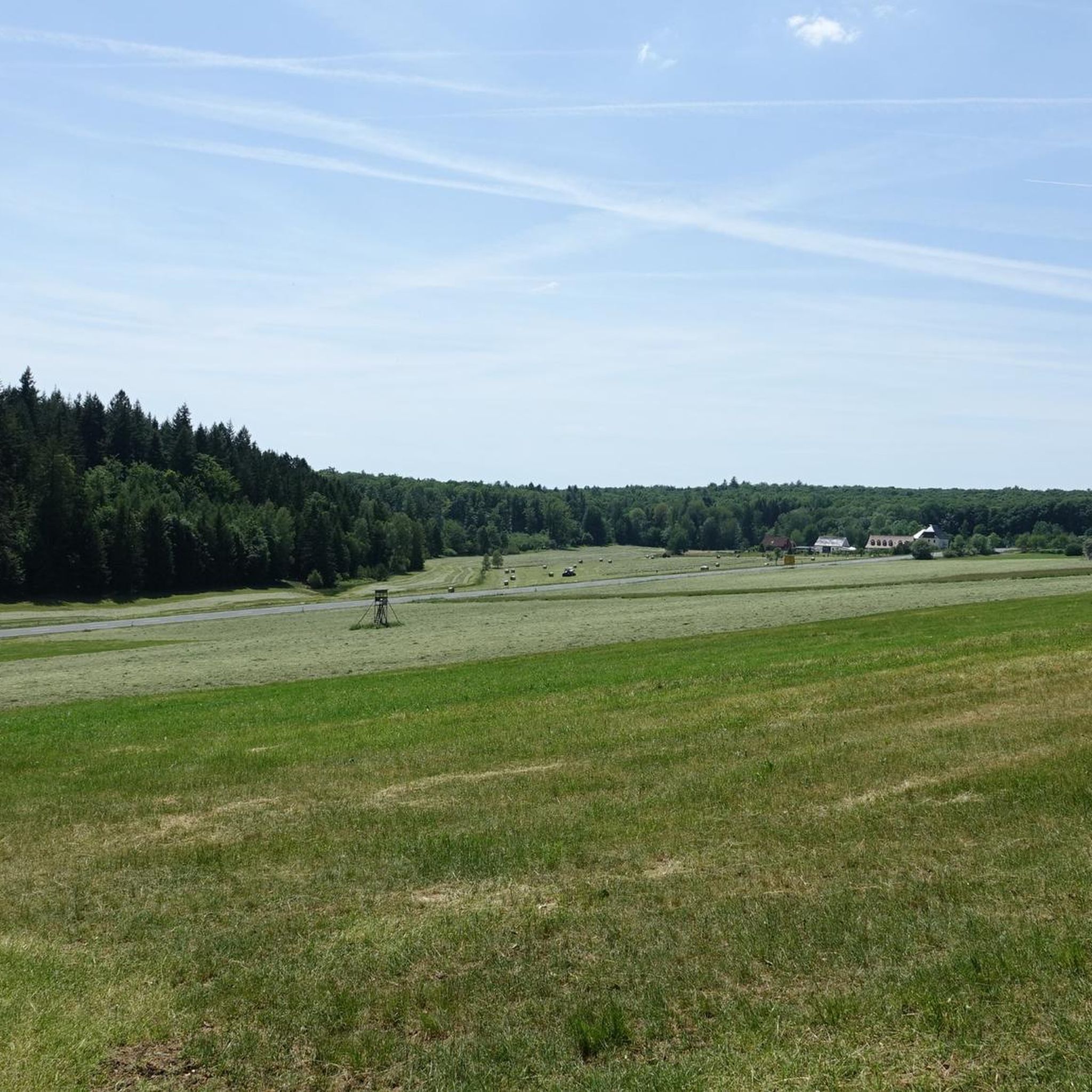
The Weikertswiese is located in the Hochspessart near Rechtenbach, is about 85 hectares in size and is situated at an altitude of over 500 meters.
0
0

Nice flat ride at first, then down to Partenstein it's challenging, but awesome...:)
0
0

Great to drive in both directions
0
0

The Hafenlohr is a 26.5 km long (27.7 km including the Tiergartenbach) right tributary of the Main River in the districts of Aschaffenburg and Main-Spessart in the Bavarian Spessart region. The Hafenlohr rises from two springs in the municipality of Rothenbuch. The longer and occasionally more water-rich branch is the Tiergartenbach, which often dries up on dry days. Officially, it is considered the upper course of the Hafenlohr main watercourse. The source, known as the Hafenlohr Spring, in the center of the village provides water almost year-round. The Hafenlohr Spring is located at Rothenbuch Castle. It was encased in sandstone during the road widening of the St 2317. Its water flows northwest through the castle moat and, after about 100 meters, flows from the left bank into the bed of the Tiergartenbach, which flows from the Tiergartengrund on the northern edge of the village and is already 1.3 km[7] long. It doesn't provide water year-round, but at times it provides more than the perennial spring at the castle. The spring at the castle was probably once a meeting place for hunters in the eastern Spessart, which is why construction of a hunting lodge began here in 1342. The spring water fed the castle moat and several surrounding trout lakes, which no longer exist. Source and further information: https://de.wikipedia.org/wiki/Hafenlohr_(Fluss)
1
0
Frequently Asked Questions
How many mountain bike trails are there in Forst Lohrerstraße?
The Forst Lohrerstraße region offers a wide selection of mountain bike trails, with over 480 routes available. These range from easy paths to challenging technical trails, catering to various skill levels.
What is the overall difficulty level of mountain biking in Forst Lohrerstraße?
The mountain biking in Forst Lohrerstraße is quite diverse. While there are 58 easy routes and 92 difficult ones, the majority, around 338 routes, are classified as moderate. The region, part of the Bikewald Spessart network, offers trails from S0-S1 for beginners to S3-S6 for advanced riders.
What kind of terrain can I expect on mountain bike trails in Forst Lohrerstraße?
You can expect a varied terrain, as the region sits on the edge of the Spessart Mountains and along the Main River. Trails often lead through dense forests, offering a mix of single trails, forest roads, and more demanding sections with gentle hills and steep climbs. You'll find diverse topography and scenic views of the surrounding nature.
Are there mountain bike trails suitable for beginners in Forst Lohrerstraße?
Yes, there are trails suitable for beginners. The Bikewald Spessart network, which includes trails around Forst Lohrerstraße, features easier routes classified as STS S0-S1. These paths are generally less technical and ideal for those new to mountain biking or looking for a more relaxed ride.
Are there challenging mountain bike trails for experienced riders in Forst Lohrerstraße?
Absolutely. For experienced riders, the region offers challenging trails classified as STS S2 and S3-S6 within the Bikewald Spessart network. These routes demand good fitness and advanced riding techniques, with some sections even requiring riders to push their bikes. An example of a difficult route is the Klapper Hollow Way to Lohr – Neustädter Tor Crossroads loop from Rechtenbach, which covers over 42 km with significant elevation gain.
What do other mountain bikers enjoy most about the trails in Forst Lohrerstraße?
The mountain bike trails in Forst Lohrerstraße are highly rated by the komoot community, with an average score of 4.7 stars from over 2,500 reviews. Riders often praise the diverse terrain, the extensive network of trails, and the beautiful natural scenery of the Spessart forest and Main River valley.
Are there any circular mountain bike routes in Forst Lohrerstraße?
Yes, many of the mountain bike routes in Forst Lohrerstraße are designed as loops. For example, the Hafenlohr River – Hafenlohrtal Valley loop from Rechtenbach is a popular moderate route exploring the scenic Hafenlohrtal Valley. Another option is the Red X Trail to Bomigsee – Bomigsee, Rothenbuch loop from Forst Lohrerstraße.
What is the best time of year for mountain biking in Forst Lohrerstraße?
The best times for mountain biking in Forst Lohrerstraße are typically spring and autumn. In spring, nature is vibrant and fresh, while autumn offers a mystical atmosphere with changing leaves. Both seasons provide pleasant temperatures for riding through the Spessart forest.
Are there any interesting landmarks or attractions along the mountain bike trails?
Yes, mountain biking in Forst Lohrerstraße can lead you past several interesting points. You might encounter historical sights, natural monuments, and picturesque landscapes. Notable attractions include the Neustädter Tor Crossroads and the scenic Hafenlohr Valley. The region also features historic castles like Rothenfels Castle and the ancient Birkenhainer Strasse.
Where can I find parking for mountain biking in Forst Lohrerstraße?
Parking is generally available at various trailheads and towns bordering Forst Lohrerstraße, such as Lohr am Main. A specific highlight for parking is the Lichtenau Trailhead, Spessart Nature Park, which serves as a convenient starting point for many routes.
Are there places to eat or rest near the mountain bike trails?
Yes, the well-developed Bikewald Spessart system includes convenient inns and places to refresh along the routes. You can find options like the Lichtenau Hofhaus Inn in the Hochspessart or the Bischborner Hof, offering opportunities for a break and refreshments during your ride.
Are there any trails with good viewpoints of Lohr am Main?
Yes, some trails offer excellent views of Lohr am Main. The View of Lohr am Main – Klapper Hollow Way to Lohr loop from Rechtenbach is a moderate route specifically designed to provide scenic vistas of the town and its surroundings.
Most popular routes around Forst Lohrerstraße
Most popular attractions around Forst Lohrerstraße

Get inspired with the komoot mobile app


Explore more
Browse the best MTB trails in other regions.
