Presidential Range-Dry River Wilderness
Presidential Range-Dry River Wilderness
The best road cycling routes in Presidential Range-Dry River Wilderness
5.0
(2)
234
riders
16
rides
Road cycling in Presidential Range-Dry River Wilderness offers challenging and scenic opportunities within New Hampshire's White Mountain National Forest. The region is characterized by extensive spruce-fir and northern hardwood forests, high ridgelines, and the dramatic Dry River valley. Cyclists encounter significant elevation changes, providing both formidable climbs and exhilarating descents through mountainous terrain. This area features rugged landscapes and diverse natural features, making it a notable destination for road cyclists.
Best road cycling routes in Presidential Range-Dry River Wilderness
- The…
Last updated: October 2, 2026
28
riders
86.0km
04:28
1,570m
1,570m
Hard road ride. Very good fitness required. Mostly well-paved surfaces and easy to ride.
6
riders
47.9km
02:16
500m
500m
Moderate road ride. Good fitness required. Mostly well-paved surfaces and easy to ride.

5
riders
Moderate road ride. Good fitness required. Mostly well-paved surfaces and easy to ride.
7
riders
Moderate road ride. Good fitness required. Mostly well-paved surfaces and easy to ride.
16
riders
38.6km
01:49
300m
300m
Moderate road ride. Great for any fitness level. Some segments of this route may be unpaved and difficult to ride.
Get access to more routes and recommendations from other explorers.
Already have an account?
Our route recommendations are based on thousands of hikes, rides, and runs completed by other people on komoot.
Start today with a free account
Your next adventure awaits.
Popular around Presidential Range-Dry River Wilderness
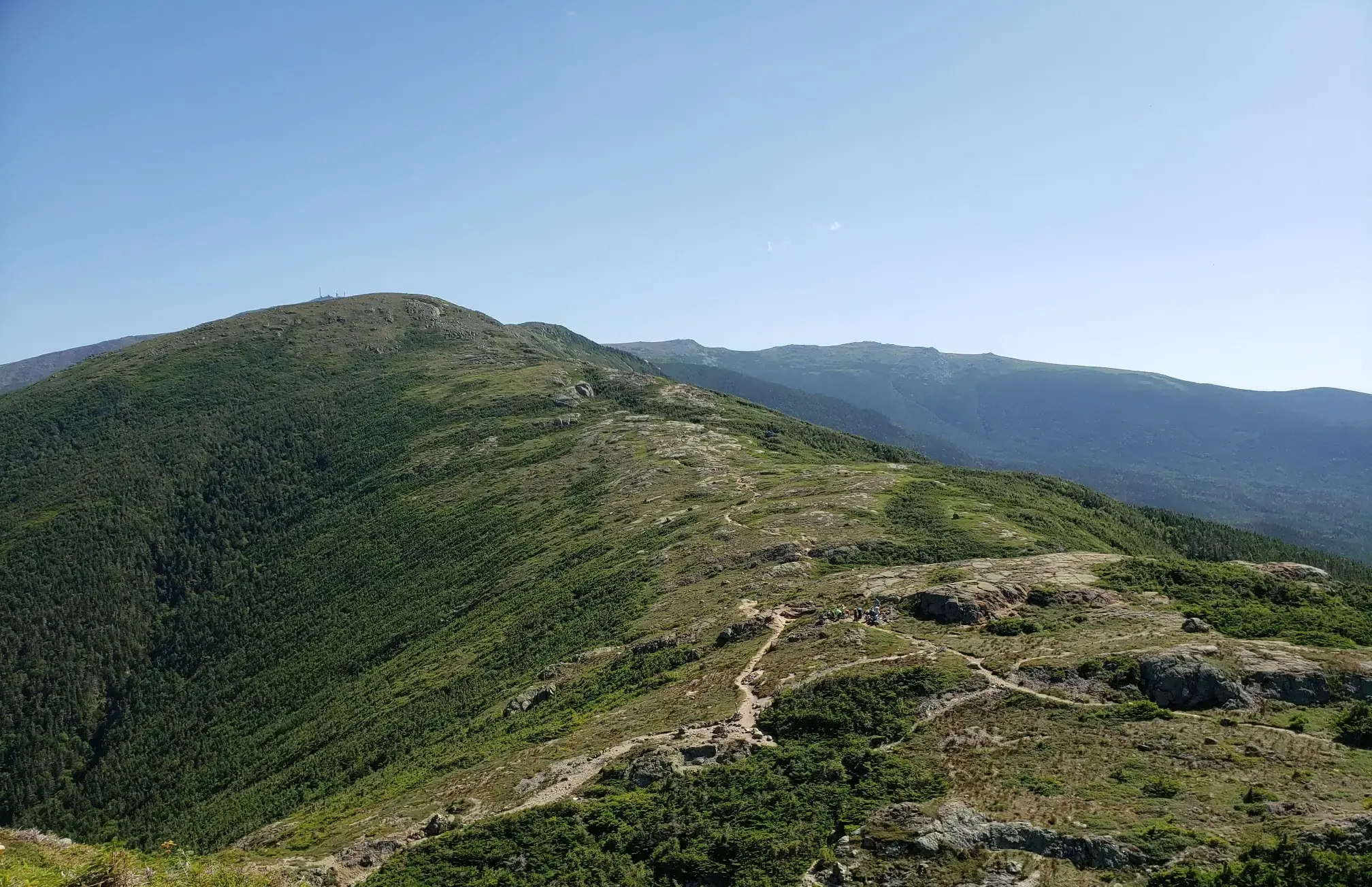
The Presidential Traverse — A classic New Hampshire sandbag
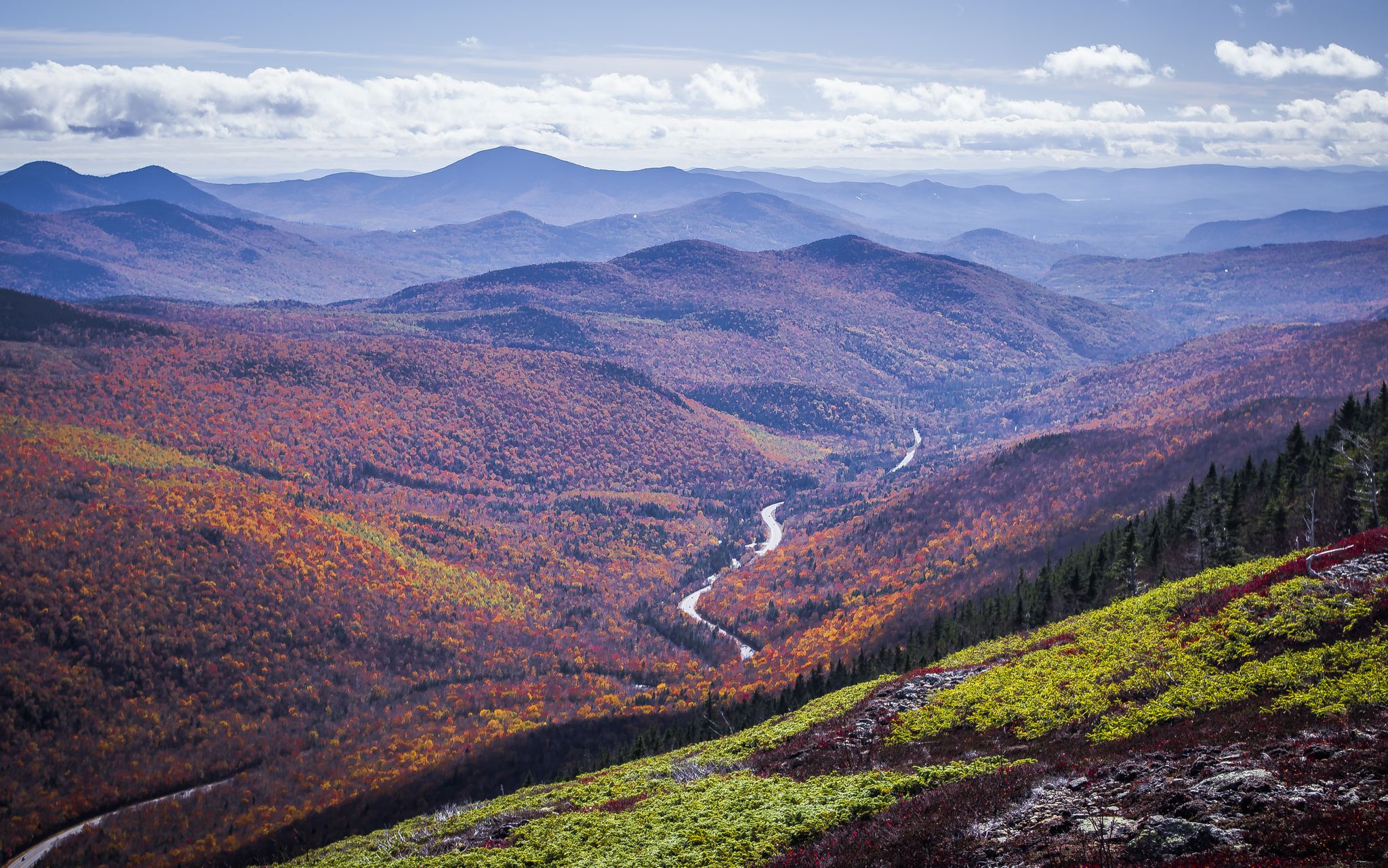
Cohos Trail — Exploring New Hampshire’s remote North Woods
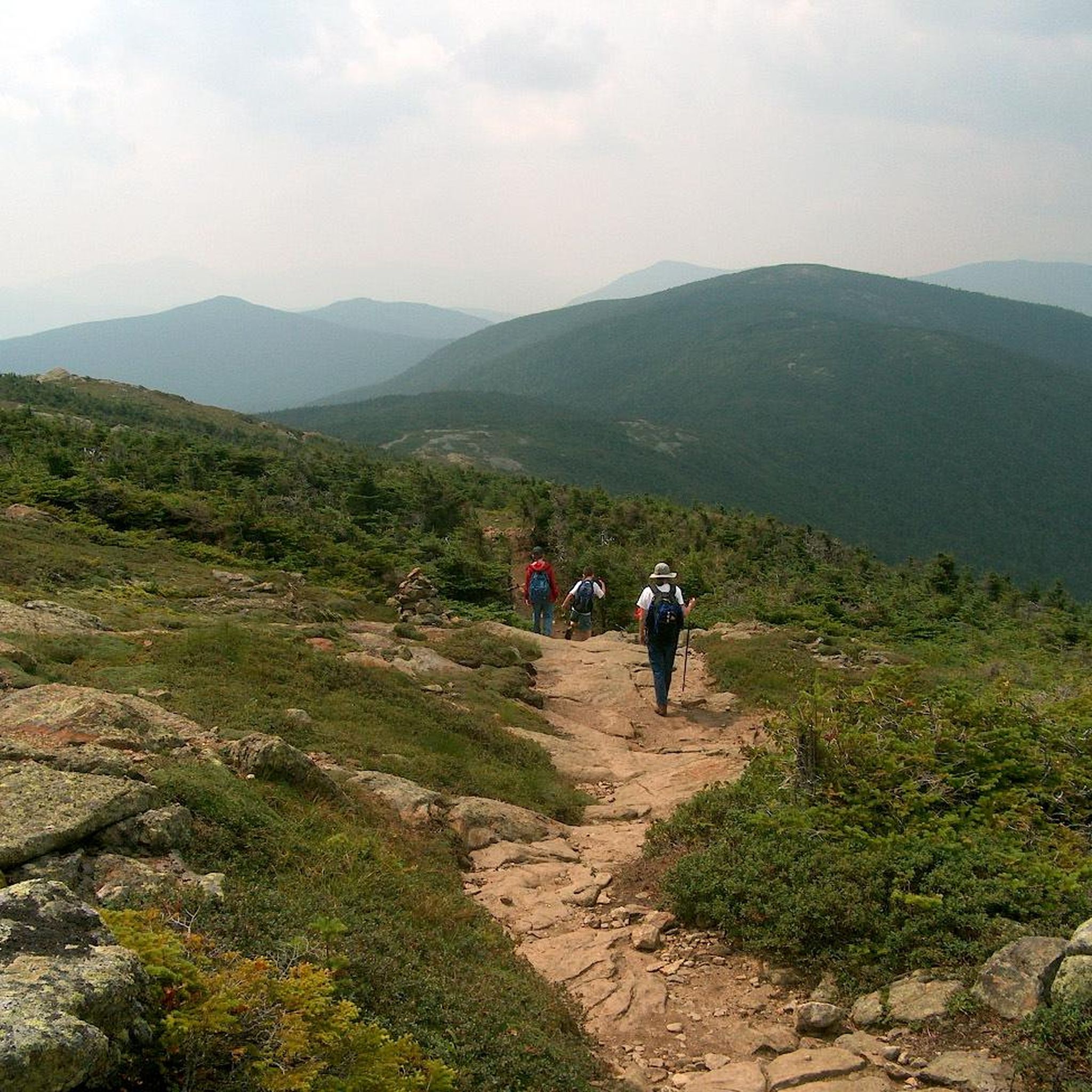
Hiking in Presidential Range-Dry River Wilderness
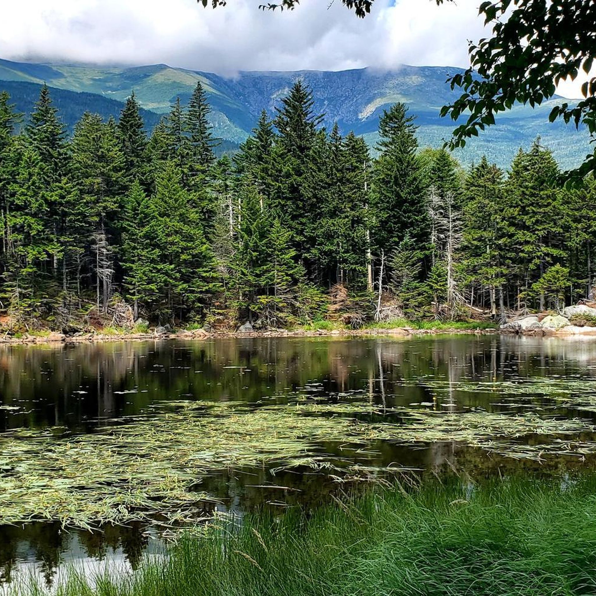
Running Trails in Presidential Range-Dry River Wilderness
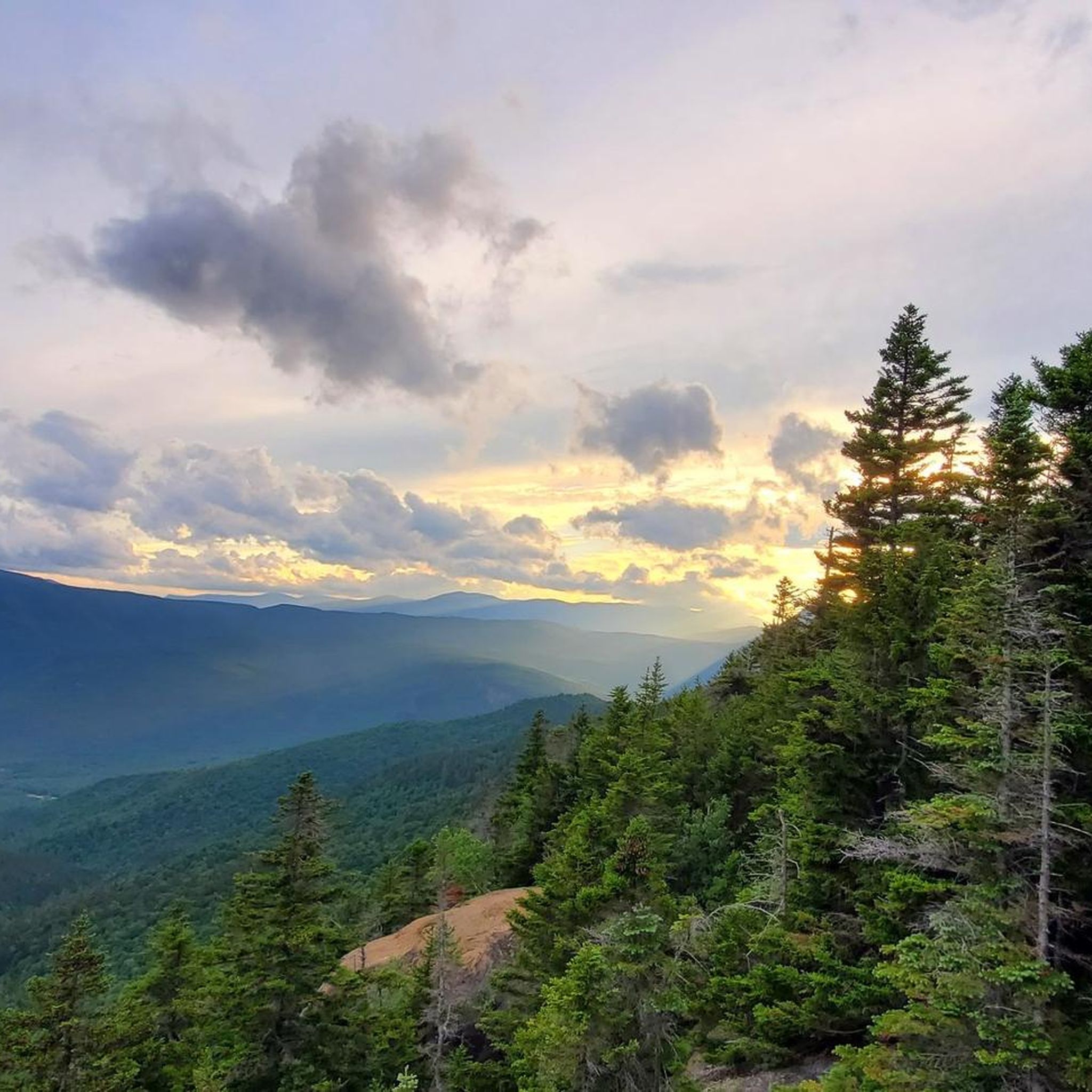
Cycling in Presidential Range-Dry River Wilderness
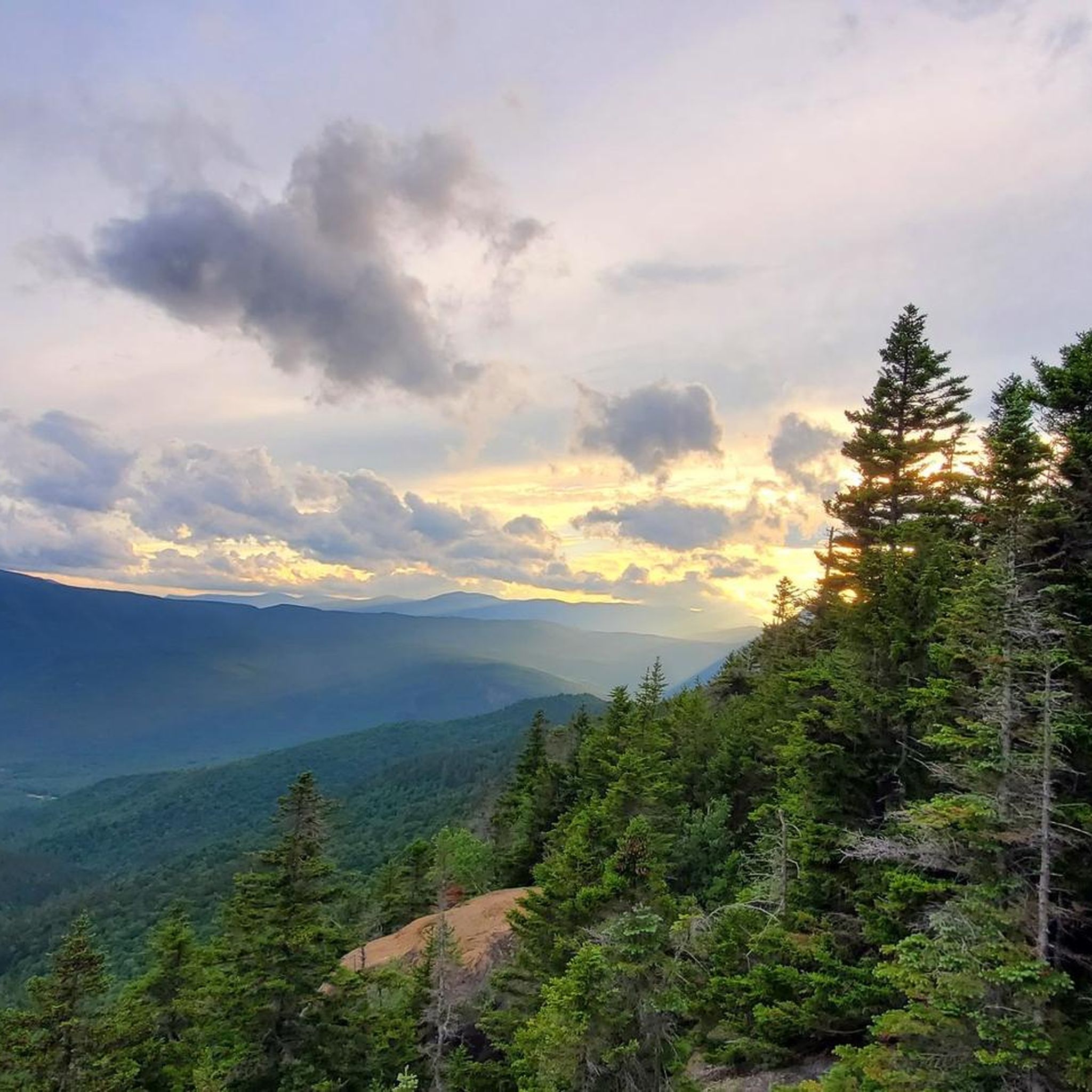
MTB Trails in Presidential Range-Dry River Wilderness
Other adventures in Presidential Range-Dry River Wilderness

Tips from the Community

The highway is easy to ride on a bike because of the wide shoulder. And there are always great views.
0
0

The 'Echo Lake' in the 'State Park' of the same name is very popular as a swimming lake in the summer months. A panoramic path leads around the lake; the place is also the starting point for hikes to the rocky cliffs 'Cathedral Ledge' and 'White Horse Ledge' with a spectacular view of the 'Saco River Valley'. https://www.nhstateparks.org/find-parks-trails/echo-lake-state-park
2
0

The Saco River Trail is an unpaved path that follows along the Saco River. There are several points with great views of the river.
1
0

Lily Pond is located along the scenic Kancamagus Highway, about 18 miles west of Conway. It is also located at the Livermore N Trailhead. This natural pond is surrounded by beautiful foliage and frequented by thirsty moose seeking a drink. There is a gravel turn-out you can use for parking, just be mindful when crossing the road.
1
0

Lily Pond sits in the mountains along the scenic Kancamagus Highway, about 18 miles west of Conway. There's plenty of space to stop and take a break! It's common to spot moose feeding around the pond.
0
0
Frequently Asked Questions
How many road cycling routes are available in the Presidential Range-Dry River Wilderness?
There are over 15 road cycling routes available in the Presidential Range-Dry River Wilderness. These routes cater to various skill levels, with 4 easy, 8 moderate, and 4 difficult options, offering diverse experiences through the region's rugged landscapes.
What kind of terrain can I expect when road cycling in the Presidential Range-Dry River Wilderness?
Road cycling in this region is characterized by significant elevation changes, offering both formidable climbs and exhilarating descents through mountain passes. You'll encounter rugged peaks, dense forests, and meandering river valleys, providing a challenging and scenic experience within the White Mountain National Forest.
Are there challenging road cycling routes for experienced cyclists in this region?
Yes, the Presidential Range-Dry River Wilderness offers several challenging routes. For instance, the Rocky Gorge – Albany Covered Bridge loop from Ellis River is a difficult 64.6-mile route with over 3,400 feet of elevation gain. The broader White Mountain National Forest also features iconic climbs like the Mount Washington Auto Road Bicycle Hillclimb race course, known as one of the world's most demanding cycling ascents.
What are some notable natural features or landmarks to see along the road cycling routes?
While cycling, you can enjoy views of the dramatic landscapes, including extensive spruce-fir and northern hardwood forests. The region is known for its high ridgelines and the Dry River valley. You might also catch glimpses of prominent peaks like Mount Jackson Summit or Mount Isolation, which are part of the surrounding mountain ranges.
What do other road cyclists enjoy most about road cycling in Presidential Range-Dry River Wilderness?
The area is highly rated by the komoot community, with an average score of 5.0 stars from 2 reviews. Cyclists often praise the region's rugged peaks, dense forests, and meandering river valleys, highlighting the inspiring natural beauty and rigorous physical challenges offered by the routes.
Are there any routes that offer expansive views, particularly towards Mount Washington?
Yes, the Mount Washington Viewpoint – Bartlett Village Gazebo Park loop from Crawford Notch State Park is a moderate 42.0-mile path specifically designed to provide expansive views, including towards Mount Washington, as it winds through the state park.
What is the best time of year to go road cycling in the Presidential Range-Dry River Wilderness?
The region offers beautiful cycling conditions, but it's important to consider seasonal factors. While summer weekends and the fall foliage season are popular, traffic can be heavy, especially around North Conway. Spring and early summer might offer a quieter experience with pleasant temperatures, though always be prepared for variable mountain weather.
Are there any shorter, moderate loops suitable for a quicker ride?
For a quicker, moderate ride, consider the Base Station Road & Mount Clinton Road loop from Crawford Notch State Park. This 15.9-mile trail leads through forested roads and can typically be completed in about 1 hour 20 minutes.
Where can I find parking for road cycling routes in the area?
Many routes, such as those starting from Crawford Notch State Park or Bartlett, offer designated parking areas. It's advisable to check the specific route details on komoot for recommended starting points and parking information to ensure convenient access.
What kind of wildlife might I encounter while cycling?
While cycling through the forests and valleys of the White Mountain National Forest, you might encounter various wildlife. Deer, moose, and black bears are known to inhabit the area, particularly in less trafficked sections. Always maintain a respectful distance and be aware of your surroundings.
Are there any long-distance road cycling loops that explore more of the region?
For those seeking a longer and more comprehensive ride, the broader White Mountain National Forest offers extensive loops. The 'Tour de Notches' is an example of a 77.5-mile loop that provides a thorough exploration of the mountainous terrain, showcasing the region's diverse beauty.
Are there options for road cyclists looking for a scenic loop without extreme difficulty?
Yes, the Crawford Notch Street – Bartlett Village Gazebo Park loop from Bartlett is a popular moderate 28.2-mile route that offers a scenic journey through the area's natural beauty without the most extreme climbs, making it a great option for a rewarding ride.
Most popular routes in Presidential Range-Dry River Wilderness
Most popular attractions in Presidential Range-Dry River Wilderness

Get inspired with the komoot mobile app


Explore more
Browse the best Road cycling routes in other regions.
