The best MTB trails in South Fork San Jacinto Wilderness
5.0
(1)
23
riders
6
rides
Mountain biking regulations for the South Fork San Jacinto Wilderness state that bicycles are prohibited within its designated boundaries to preserve the natural character of the land. However, the broader region surrounding the wilderness, including parts of the San Bernardino National Forest and areas near Idyllwild, offers diverse terrain for mountain biking. This landscape features deep river canyons, chaparral-covered hillsides, and lush riparian woodlands, with varied topography ranging from arid slopes to sheltered forests of big-cone Douglas fir, willow, and…
Last updated: July 13, 2026
7
riders
18.8km
01:56
440m
440m
Moderate mountain bike ride. Good fitness required. Advanced riding skills necessary.
5
riders
17.0km
01:53
490m
490m
Moderate mountain bike ride. Good fitness required. Suitable for all skill levels.

Sign up for free
1
riders
11.4km
01:19
360m
360m
Moderate mountain bike ride. Good fitness required. Suitable for all skill levels.
5.0
(1)
5
riders
20.5km
01:54
470m
470m
Moderate mountain bike ride. Good fitness required. Advanced riding skills necessary.
5
riders
20.6km
02:04
510m
510m
Moderate mountain bike ride. Good fitness required. Advanced riding skills necessary.
Our route recommendations are based on thousands of hikes, rides, and runs completed by other people on komoot.
Start today with a free account
Your next adventure awaits.
Login or Signup
Popular around South Fork San Jacinto Wilderness
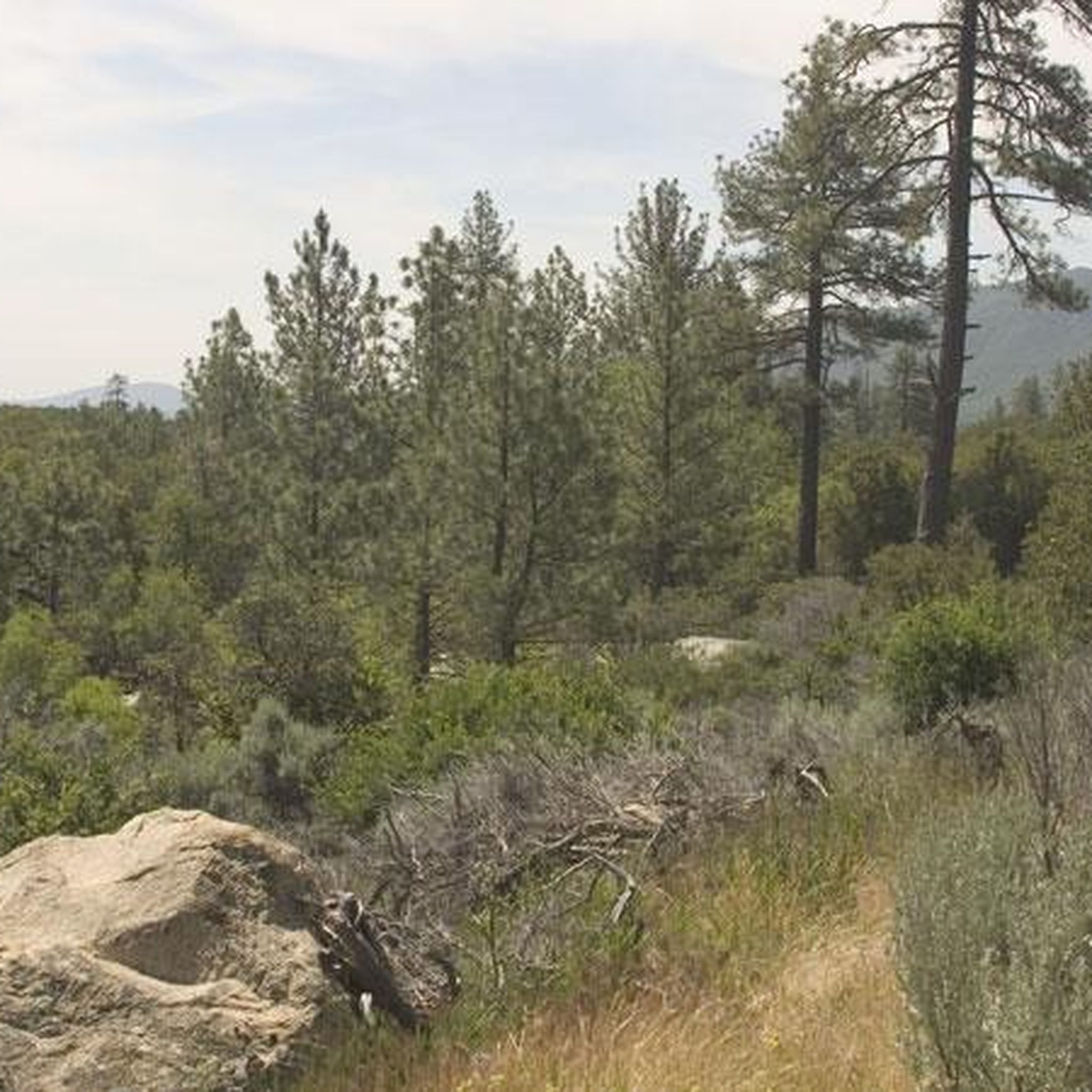
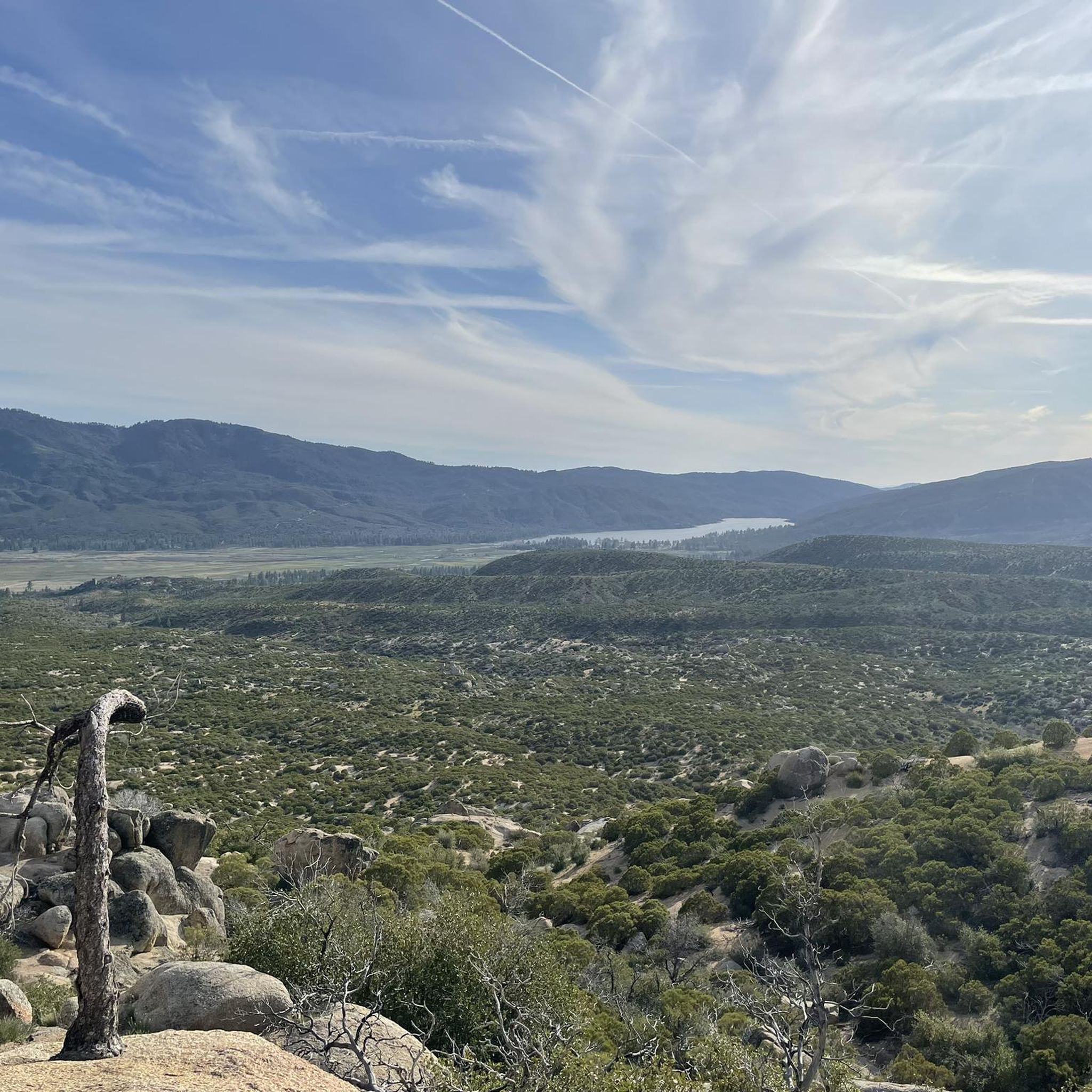
Tips from the Community

Topimator runs along the ridgeline and gives you great views across the mountains. You'll have you pick of downhill lines from here including Hard Sun, Optimator, and Project-X.
0
0
Project-X is the premier downhill trail in The Hub and it's meant for experts only, though the bottom half is a bit easier and advanced intermediate riders looking for a challenge could attempt it with caution. Along the way you'll encounter gnarly rock gardens, boulders, and jumps and many have no ride arounds so those with commitment issues are not advised to ride this trail.
1
0

The actual summit of Thomas Mountain is probably the most popular overlook along Thomas Mountain Road. The road is really popular for mountain biking and off-road driving. You can see into a number of different Wilderness areas from the different lookouts along the road.
0
0

This is a great spot for a break. The boulders create an opening in the canopy, letting warm the sun through.
0
0
For the forest lovers out there, this area will surely make you happy. The colors are strong all year round and make you appreciate what each season has to offer.
0
1
Lia Hona Lodge is located between Red Hill Road and the Toptimator trail. There is no information available on the use of the facility, but the buildings are there, in the middle of the woods, and one of the stone chimneys is worth stopping to look at. It is made of pebbles.
0
0
This spot offers a beautiful view of the area. It is a high point enabling you to see above the surrounding trees.
0
0
Frequently Asked Questions
Are mountain bikes allowed within the South Fork San Jacinto Wilderness?
No, mountain biking is explicitly prohibited within the designated boundaries of the South Fork San Jacinto Wilderness. This is in line with regulations for Wilderness Areas, which ban bicycles and other mechanical transport to preserve the natural character of the land. However, the broader region surrounding the wilderness, including parts of the San Bernardino National Forest and areas near Idyllwild, offers diverse terrain suitable for mountain biking.
Where can I find mountain bike trails near the South Fork San Jacinto Wilderness?
While mountain biking is not permitted within the Wilderness itself, you can find excellent trails in the surrounding areas, particularly within the San Bernardino National Forest and near Idyllwild. These areas feature varied topography, including chaparral-covered hillsides, river canyons, and forested sections.
What is the typical difficulty level of mountain bike trails in the region?
The mountain bike routes in the region near the South Fork San Jacinto Wilderness are primarily suited for moderate ability levels. For example, trails like The Hub loop and The Hub: Toptimator, Black Bear & Smokestack Loop offer engaging rides through varied terrain.
Are there any loop mountain bike routes available?
Yes, several popular routes in the area are loops. For instance, The Hub loop is an 11.7-mile (18.8 km) trail, and Strawberry Ridge Road, Mystic Creek, and Silver Crag Loop is a 7.1-mile (11.4 km) option that leads through woodlands and open ridges.
What kind of landscapes can I expect on mountain bike trails in this area?
The region offers diverse landscapes, from chaparral-covered hillsides and deep river canyons to lush riparian woodlands. You'll encounter varied topography, including arid slopes and sheltered forests of big-cone Douglas fir, willow, and black oak, especially along streamsides.
What do other mountain bikers enjoy most about the trails near South Fork San Jacinto Wilderness?
The area is highly rated by the komoot community, with an average score of 5.0 stars from over 1 review. Mountain bikers often praise the varied terrain and engaging descents found on routes like The Hub: Toptimator, Black Bear & Smokestack Loop.
Are there any family-friendly mountain biking options?
While all listed routes are rated as moderate, the region offers trails that can be enjoyed by families with some mountain biking experience. The varied terrain and scenic beauty make for an enjoyable outing. Always consider the distance and elevation gain for your family's comfort level.
What is the best time of year to go mountain biking in this region?
The best time to mountain bike in the region generally depends on elevation. Spring and fall offer pleasant temperatures for most trails. During summer, higher elevation trails might be more comfortable, while winter can bring cooler temperatures and potential for snow at higher altitudes, requiring appropriate gear and caution.
Can I bring my dog on the mountain bike trails?
Dog policies vary by specific trail and land management agency. While the South Fork San Jacinto Wilderness prohibits dogs on trails, many trails in the surrounding San Bernardino National Forest generally allow dogs on leash. It's always best to check the specific regulations for the trail you plan to ride before heading out with your canine companion.
Are there any notable natural features or landmarks along the mountain bike routes?
While the Wilderness itself has features like the South Fork Trail and rich woodlands, the mountain bike trails in the surrounding areas offer their own points of interest. For example, the View of San Jacinto Peak – Lia Hona Lodge loop from Idyllwild-Pine Cove provides scenic views, and the broader San Bernardino National Forest features unique rock formations and forest terrain.
How many mountain bike trails are available in the area near South Fork San Jacinto Wilderness?
There are several mountain bike routes available in the region surrounding the South Fork San Jacinto Wilderness. This guide highlights 5 routes, all of which are rated as moderate difficulty.
What are some of the longer mountain bike routes in the area?
For those looking for a longer ride, the Thomas Mountain loop from Thomas Mountain is approximately 12.8 miles (20.5 km) long, and The Hub loop covers about 11.7 miles (18.8 km).
Most popular routes in South Fork San Jacinto Wilderness

Get inspired with the komoot mobile app


Explore more
Browse the best MTB trails in other regions.
