The best cycling routes in Wild River Wilderness
5.0
(1)
83
riders
6
rides
Best touring cycling routes in Wild River Wilderness traverse a landscape characterized by varied elevation, including significant climbs and descents. The region features a mix of forested areas and open terrain, with routes often following natural contours. Touring cyclists can expect paths that range from moderate to difficult, offering diverse challenges.
Best touring cycling routes in Wild River Wilderness
- The most popular touring cycling route is Basin Brook Reservoir to Evans Notch — Wild River Wilderness, a 6.5 miles…
Last updated: July 8, 2026
10.5km
00:56
330m
330m
Moderate bike ride. Good fitness required. Mostly paved surfaces. Suitable for all skill levels.
1
riders
73.1km
04:28
640m
640m
Hard bike ride. Very good fitness required. Mostly paved surfaces. Suitable for all skill levels.

Sign up for free
5.0
(1)
73
riders
12.3km
02:14
1,400m
20m
Hard bike ride. Very good fitness required. Mostly paved surfaces. Suitable for all skill levels.
37.9km
03:02
420m
420m
Moderate bike ride. Good fitness required. Mostly paved surfaces. Suitable for all skill levels.
Get access to more routes and recommendations from other explorers.
Sign up for free
Already have an account?
Our route recommendations are based on thousands of hikes, rides, and runs completed by other people on komoot.
Start today with a free account
Your next adventure awaits.
Login or Signup
Popular around Wild River Wilderness
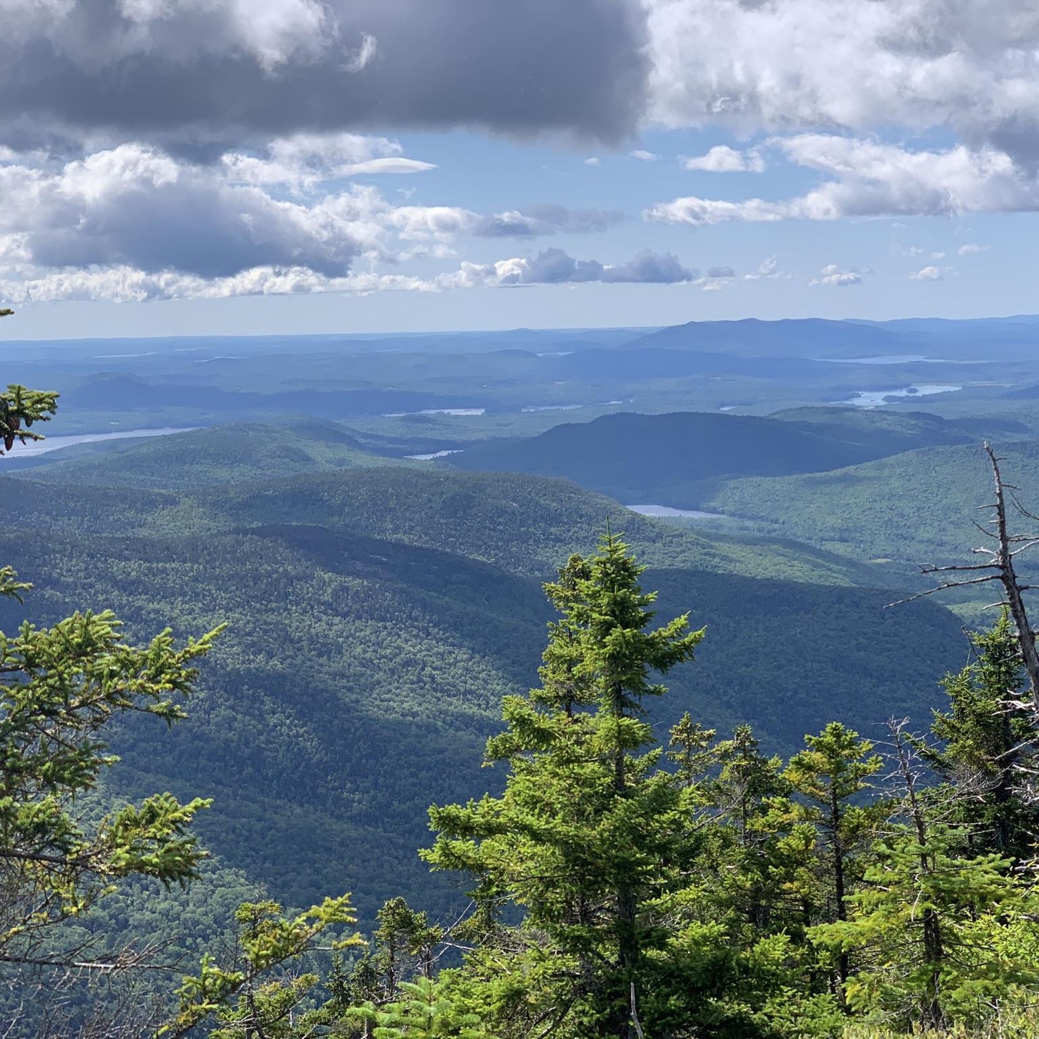
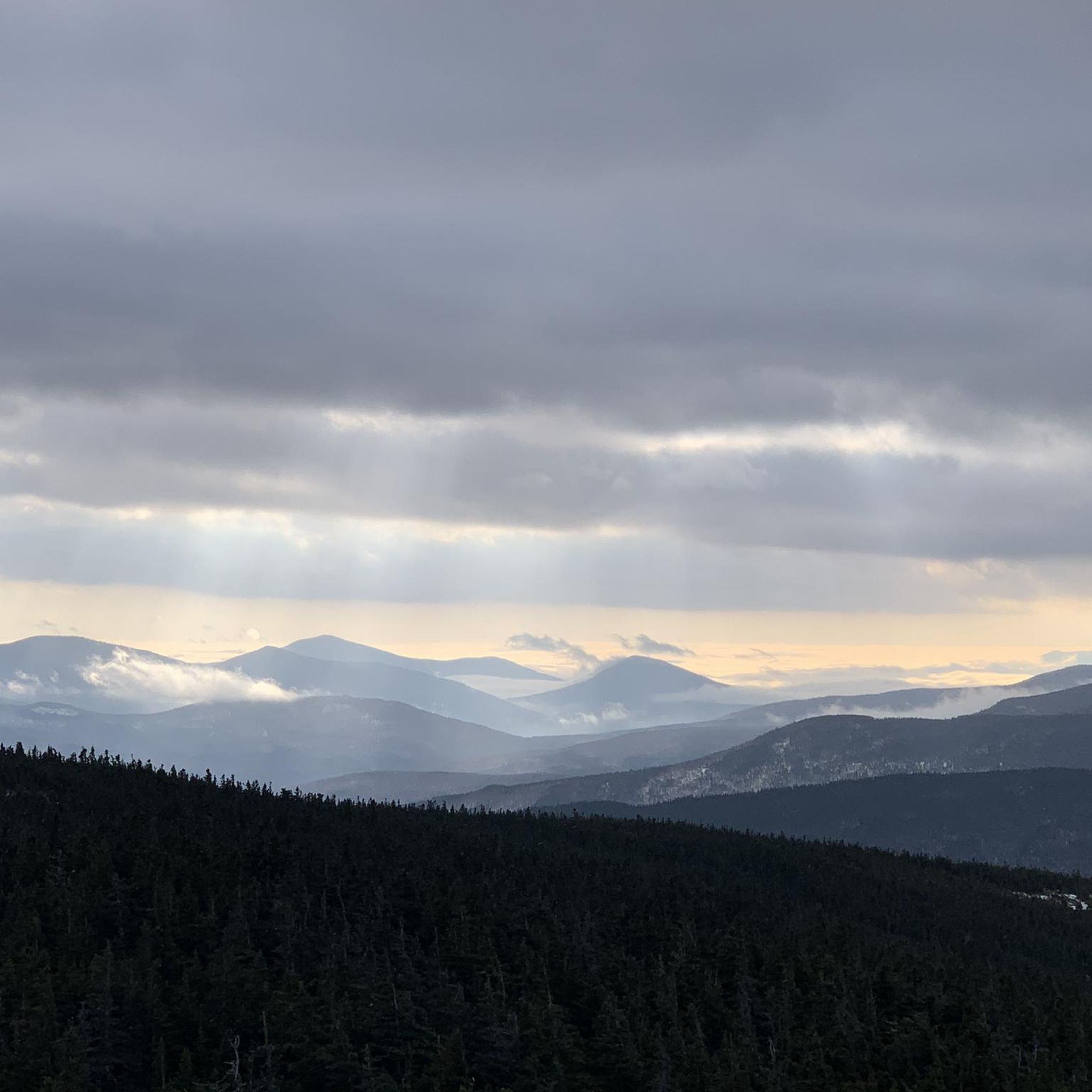
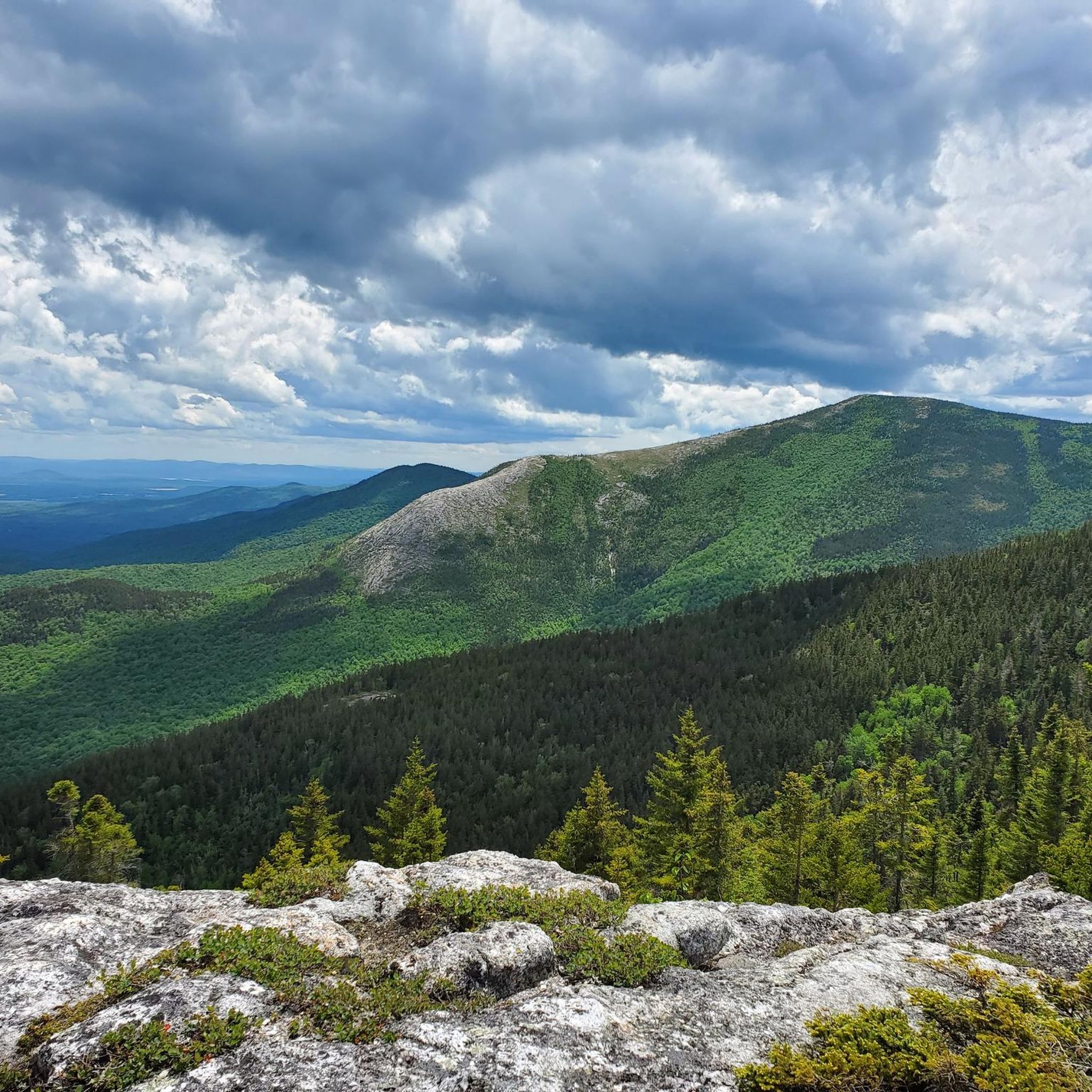
Tips from the Community

This remarkable 7.6-mile climb, accessible to cyclists only twice each year, commences in the town of Glen House. From there, the Mt. Washington Auto Road winds its way upward like a a two-lane ribbon. As you climb, you pass through forests and ultimately above the treeline. The views will pay you back when you reach the 6,288-foot summit of Mt. Washington!
0
0

Washington is the most prominent mountain in the eastern U.S. and an absolutely incredible peak to bag. This is easily one of the best summits in New England. It is also the most dangerous if you come unprepared, especially in the winter. Washington creates its own rapidly changing weather system and is known for being the deadliest small mountain in the world. The second-fastest wind speed on earth was recorded here at over 230mph. That said, a quarter million people visit Washington every year, and if you come prepared and respect the mountain you have nothing to fear and are guaranteed to have an epic summit.
0
0

Dress warmly. Snow season begins July 1 and ends June 30. We were at 68 mph at the summit. Keeping your hat on is a good idea. Two days ago, when we were last up there, it was 73 degrees Fahrenheit and the wind was blowing lightly around 23 mph. Mt. Washington is the highest peak within 1,000 miles, making it an exposed location with what the US Weather Service calls the worst and most surprising weather in the world.
0
0

At a height of 6,288 feet in elevation, Mount Washington is the highest point in the range, state, and region. Some people drive to the summit, but there are a couple of days each year that you can bike the paved road to the top, which is a popular challenge for avid cyclists. A gravel bike can be handy since some of the road grades get so steep that you need that bigger cassette. The two events hosted each year for cyclists is the Mount Washington Auto Road Bicycle Hillclimb race each August and the Early Bird (which is just a solo ride for 150 riders) in July. There are places to refill your water, go to the restroom, lock up your bike, and even get a bike to eat if you need it at the top on race day. Note that all riders have to get a ride down the mountain and aren't allowed to bike down the road!
0
0
Basin Brook Reservoir is right outside of Basin Pond Campground and can be seen from the parking lot at the Basin Trail Trailhead. The reservoir is popular for fishing, but it remains a pretty quiet reservoir and is a good spot to see wildlife.
0
0
This overlook on Evans Notch is located along the paved highway that passes through this part of the mountains. The overlook has become a bit brushy over the years, but you can still see some of the cliffs and valleys making up the Speckled Mountain Watershed. The climb up both sides of this high point can get steep (and both are pretty long), but there are parks, trailheads, and day use areas along the way with views, restrooms, and parking areas.
0
0
The Mount Washington Auto Road is only open to bicycles 2 days each year: for the Mount Washington Auto Road Bicycle Hillclimb race each August and the Early Bird (which is just a solo ride for 150 riders) in July. Other than the Delta Dental Mount Washington Road Race in June (an uphill-only running race), the road is privately owned and operated to support only paying vehicles. This is a grueling climb with an average grade of 12% that is not for the faint of heart.
0
0
At a height of 6,288 feet in elevation, Mount Washington is the highest point in the range, state, and region. Some people drive to the summit, but there are a couple days each year that you can bike the paved road to the top, which is a popular challenge for avid cyclists. The two events hosted each year for cyclists is the Mount Washington Auto Road Bicycle Hillclimb race each August and the Early Bird (which is just a solo ride for 150 riders) in July. There are places to refill your water, go to the restroom, lock up your bike, and even get a bike to eat if you need it at the top on race day. Note that all riders have to get a ride down the mountain and aren't allowed to bike down the road!
0
0
Frequently Asked Questions
What is the general difficulty level of touring cycling routes in Wild River Wilderness?
Touring cycling in Wild River Wilderness offers a range of challenges. The routes are primarily categorized as moderate to difficult, featuring significant elevation changes and varied terrain. There are 3 moderate routes and 3 difficult routes available, so cyclists should be prepared for ascents and descents.
Are there any beginner-friendly touring cycling routes in Wild River Wilderness?
While Wild River Wilderness is known for its challenging terrain, some moderate routes might be suitable for less experienced touring cyclists looking for a challenge. For example, the Basin Brook Reservoir to Evans Notch — Wild River Wilderness route is rated moderate and covers 6.5 miles (10.5 km) with notable elevation gain, offering a taste of the region's landscape without the extreme demands of the most difficult trails.
What are some of the more advanced touring cycling routes available?
For experienced touring cyclists seeking a significant challenge, Wild River Wilderness offers several difficult routes. The Gorham to Evans Notch route is a demanding 45.4 miles (73.1 km) with extensive distance and considerable elevation changes. Another notable difficult route is the Mount Washington Auto Road Bicycle Hillclimb race route, which features a substantial 1400 meters of elevation gain over 7.7 miles (12.3 km).
Are there any loop or circular touring cycling routes in Wild River Wilderness?
Yes, there are circular options for touring cyclists. The Cross New Hampshire Adventure Trail and Pine Mountain Loop is a moderate 23.5-mile (37.9 km) route that offers a scenic circular experience. Another option is the Downtown Gorham loop from Gorham, a moderate 8.8-mile (14.2 km) route perfect for a shorter ride.
What is the best time of year to go touring cycling in Wild River Wilderness?
The best time for touring cycling in Wild River Wilderness is typically from late spring through early autumn (May to October). During these months, the weather is generally more stable, and roads are clear of snow and ice. Summer offers warmer temperatures, while spring and fall provide cooler rides and vibrant foliage.
What kind of terrain and scenery can I expect on these routes?
Touring cycling routes in Wild River Wilderness traverse a diverse landscape. You can expect a mix of forested areas, open terrain, and paths that often follow natural contours. The region is characterized by varied elevation, including significant climbs and descents, offering scenic views of the surrounding mountains and valleys.
Are there any cafes or places to stop for refreshments along the touring cycling routes?
While specific cafes directly on every route are not detailed, routes that pass through or near towns like Gorham, such as the Gorham to Evans Notch route or the Downtown Gorham loop from Gorham, will offer opportunities for refreshments and amenities. It's advisable to check local listings for services in nearby communities before your ride.
What do other touring cyclists say about their experience in Wild River Wilderness?
The touring cycling routes in Wild River Wilderness are highly regarded by the komoot community, with an average score of 5.0 stars from reviews. Cyclists often praise the challenging ascents, the beauty of the forested sections, and the varied road surfaces that make for an engaging ride.
What are the typical distances and durations for touring cycling routes here?
The touring cycling routes in Wild River Wilderness vary significantly in length and duration. You can find shorter routes like the Basin Brook Reservoir to Evans Notch — Wild River Wilderness at 6.5 miles (10.5 km) taking about 55 minutes, up to much longer and more demanding routes such as Gorham to Evans Notch, which is 45.4 miles (73.1 km) and can take over 4 hours to complete.
Is parking available near the touring cycling routes in Wild River Wilderness?
Parking availability varies depending on the specific trailhead or starting point. Routes often begin or pass through areas with designated parking, especially near popular access points or towns like Gorham. It's recommended to check the specific route details on komoot for information on parking at your chosen starting location.
Are there any specific permits required for touring cycling in Wild River Wilderness?
Generally, no specific permits are required for touring cycling on public roads and designated trails within Wild River Wilderness. However, if a route passes through private land or specific protected areas, local regulations may apply. Always check for any specific requirements for the particular route you plan to undertake.
Most popular routes in Wild River Wilderness

Get inspired with the komoot mobile app


Explore more
Browse the best Cycling routes in other regions.
