The best walks and hikes around Fraubrunnen
4.5
(4263)
31,835
hikers
226
hikes
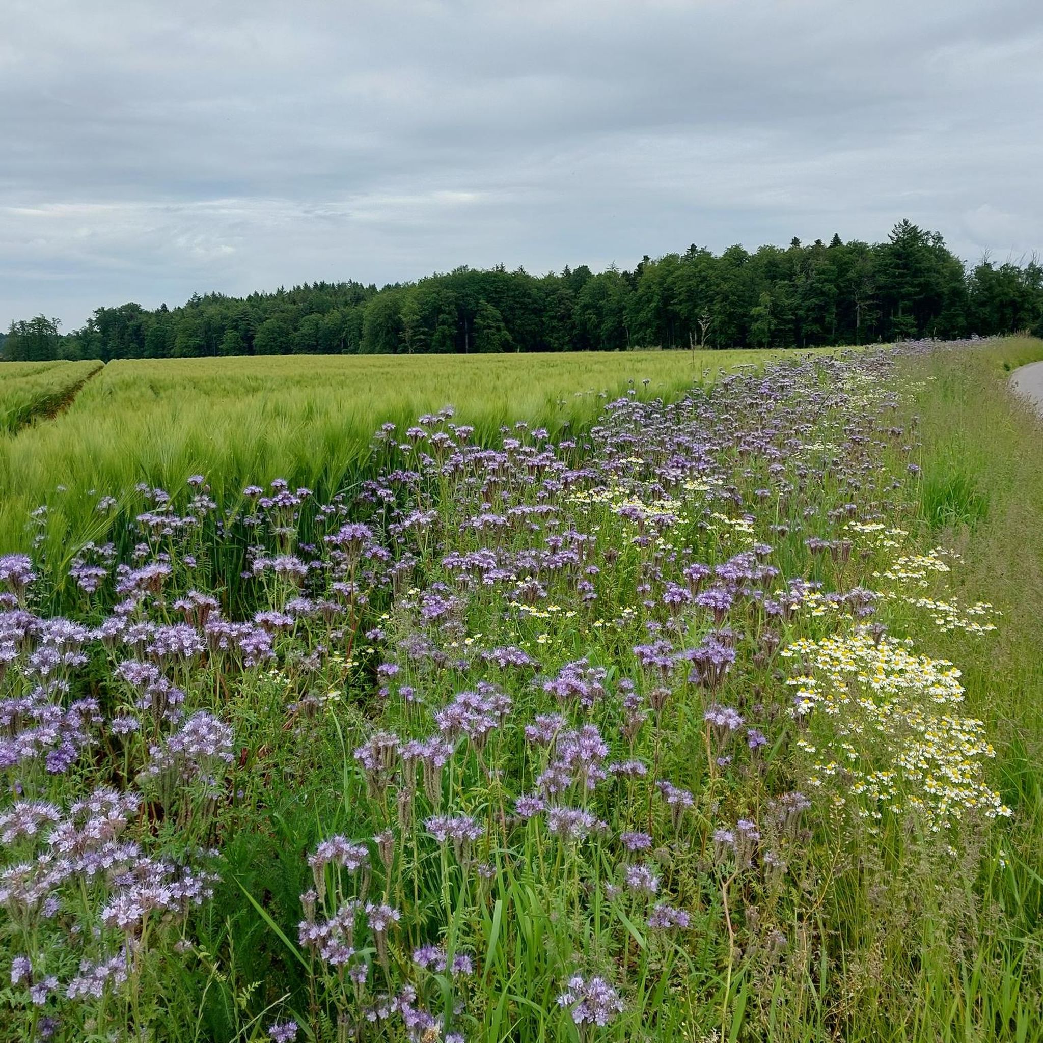
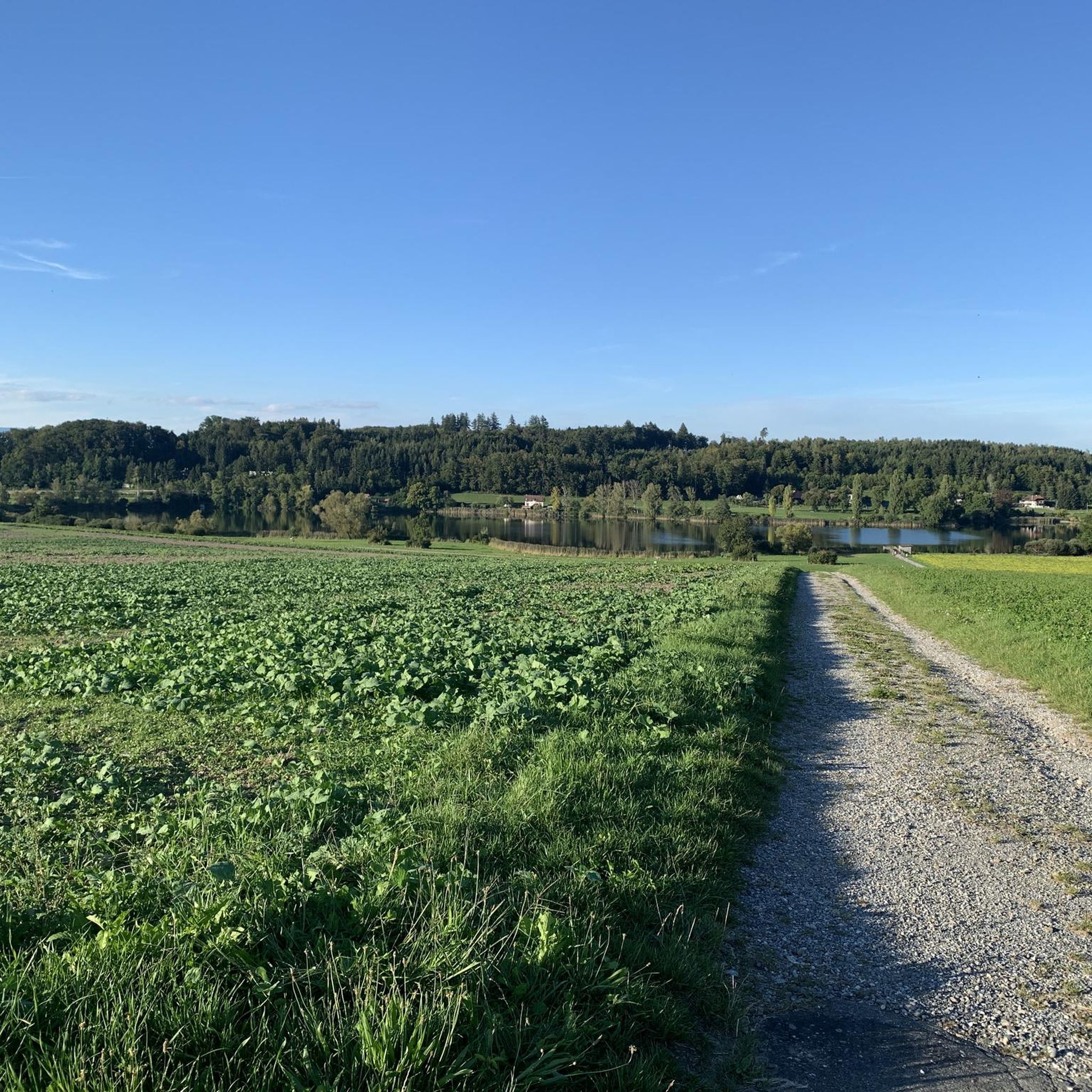
Hiking around Fraubrunnen offers diverse trails through varied landscapes in Bern-Mittelland. The region is characterized by its moraine landscape, featuring forested and gently hilly terrain, often with minimal elevation changes. The Emme River is a prominent natural feature, providing picturesque riverside paths through renaturalized sections. Additionally, the Limpach Valley contributes to the scenic routes with its fields, meadows, and farms.
Best hiking trails around Fraubrunnen
- The most popular hiking route is Emme Riverside Path – Emme Riverside Trail loop from…
Last updated: September 30, 2026
4.5
(38)
152
hikers
10.8km
02:45
30m
30m
Moderate hike. Good fitness required. Easily-accessible paths. Suitable for all skill levels.
4.6
(13)
119
hikers
9.57km
02:28
50m
50m
Moderate hike. Good fitness required. Easily-accessible paths. Suitable for all skill levels.

4.2
(9)
129
hikers
6.17km
01:34
20m
20m
Easy hike. Great for any fitness level. Easily-accessible paths. Suitable for all skill levels.
4.5
(10)
99
hikers
Easy hike. Great for any fitness level. Easily-accessible paths. Suitable for all skill levels.
4.3
(20)
203
hikers
3.93km
01:00
10m
10m
Easy hike. Great for any fitness level. Easily-accessible paths. Suitable for all skill levels.
4.8
(8)
57
hikers
11.2km
02:51
30m
30m
Moderate hike. Good fitness required. Easily-accessible paths. Suitable for all skill levels.
4.8
(28)
122
hikers
11.9km
03:03
60m
60m
Moderate hike. Good fitness required. Easily-accessible paths. Suitable for all skill levels.
4.6
(8)
79
hikers
4.77km
01:13
10m
10m
Easy hike. Great for any fitness level. Easily-accessible paths. Suitable for all skill levels.
5.0
(8)
47
hikers
6.93km
01:46
20m
20m
Easy hike. Great for any fitness level. Easily-accessible paths. Suitable for all skill levels.
4.5
(4)
20
hikers
9.83km
02:51
250m
250m
Moderate hike. Good fitness required. Easily-accessible paths. Suitable for all skill levels.
Get access to more routes and recommendations from other explorers.
Already have an account?
Our route recommendations are based on thousands of hikes, rides, and runs completed by other people on komoot.
Start today with a free account
Your next adventure awaits.
Tips from the Community

This site offers not only interesting information on biblical backgrounds.
0
0

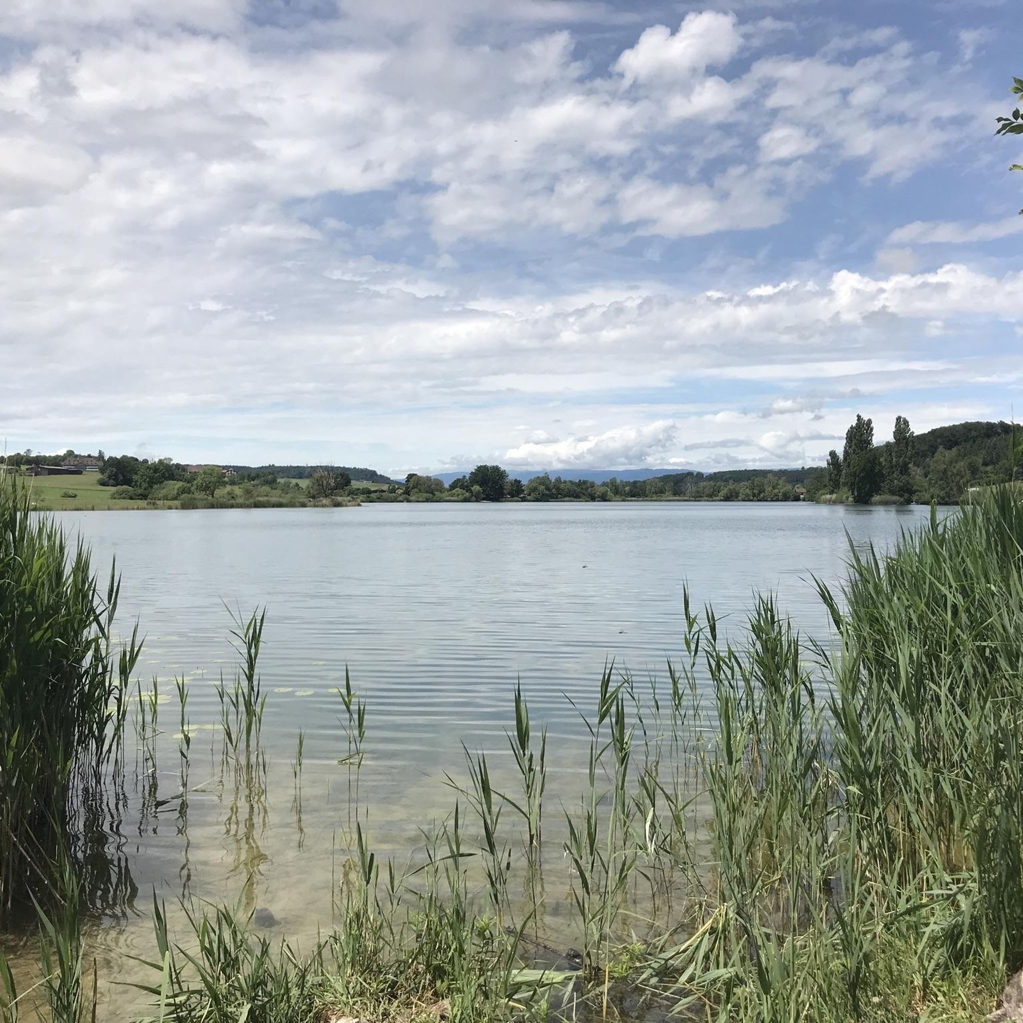
This is never the Wohlensee - this is the Moossee
2
0

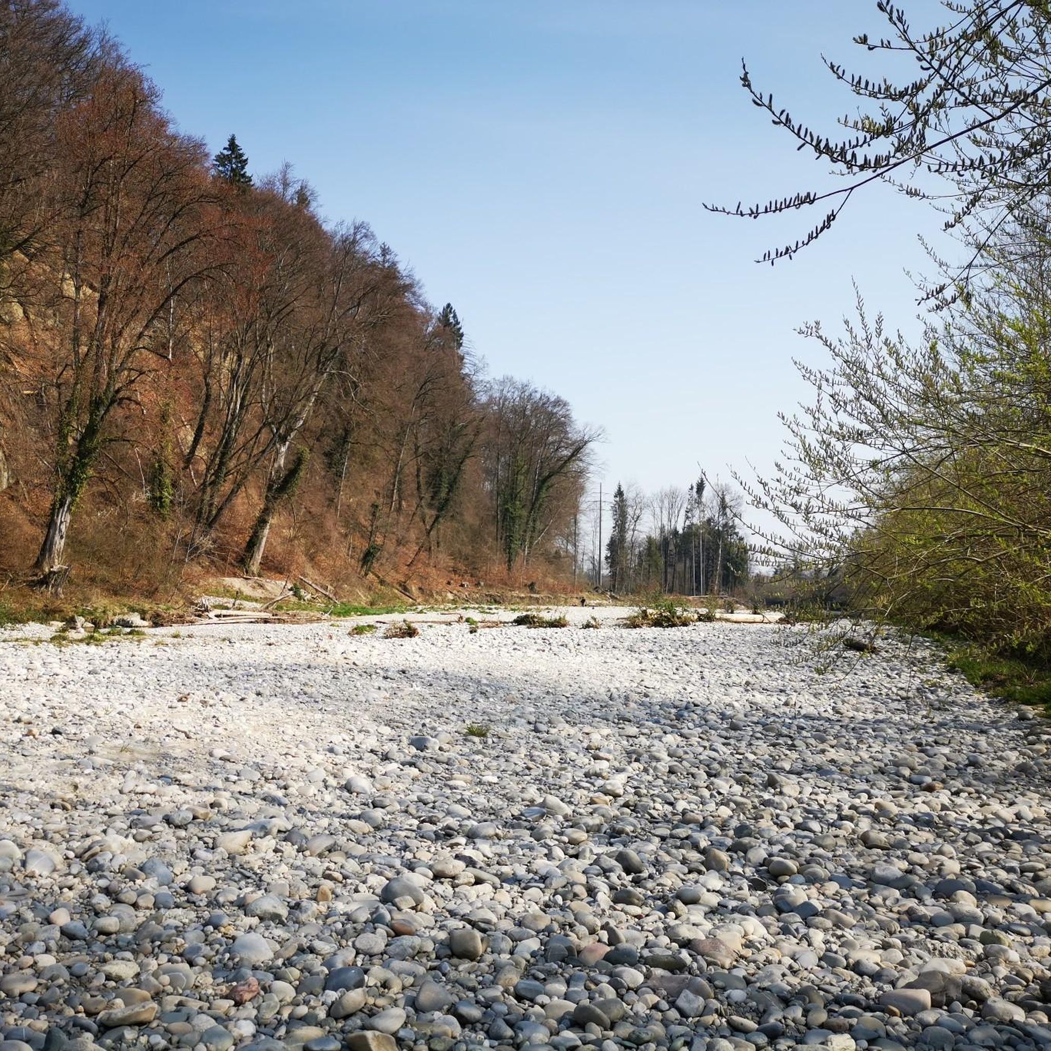
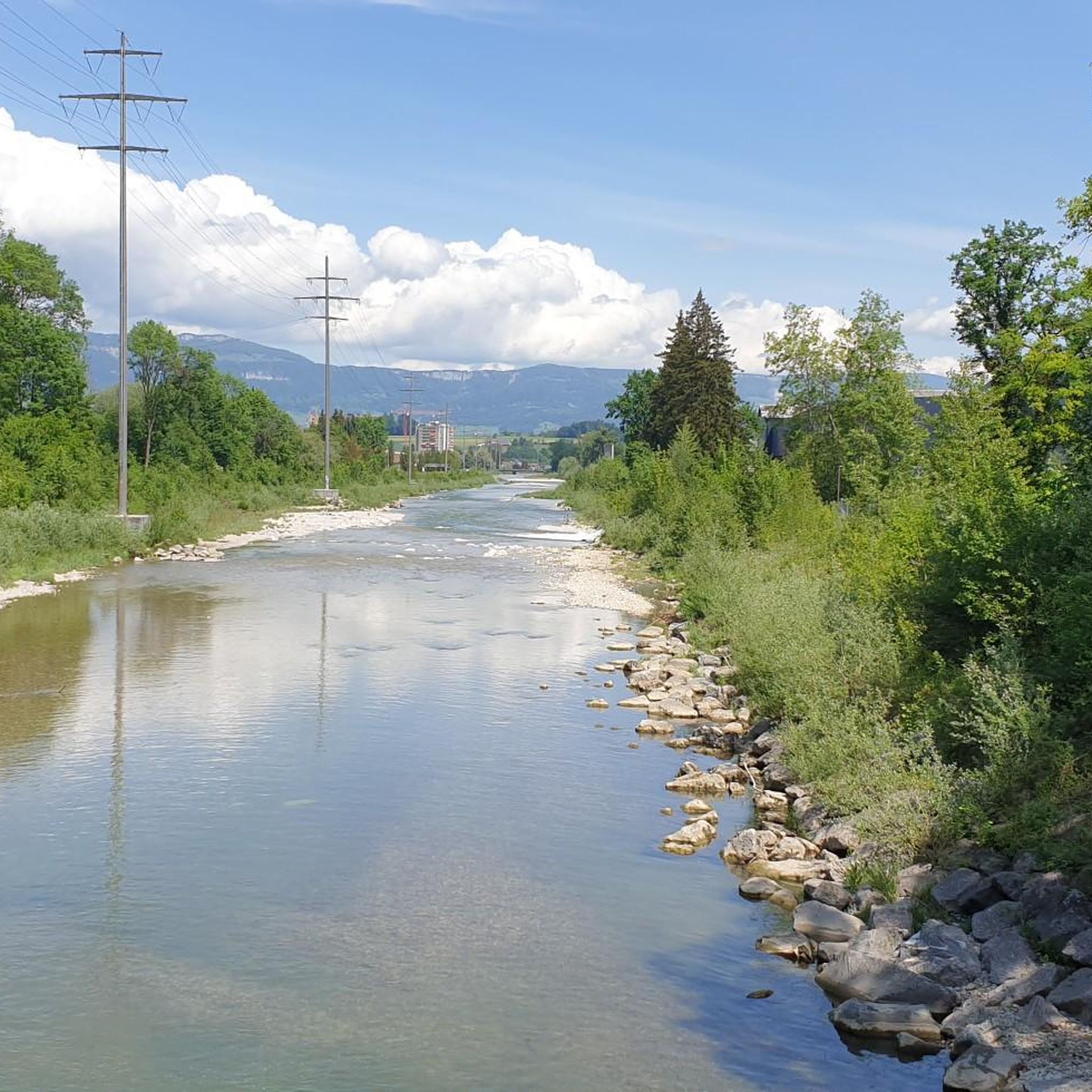
A very beautiful route, practically all along the Emme.
0
0

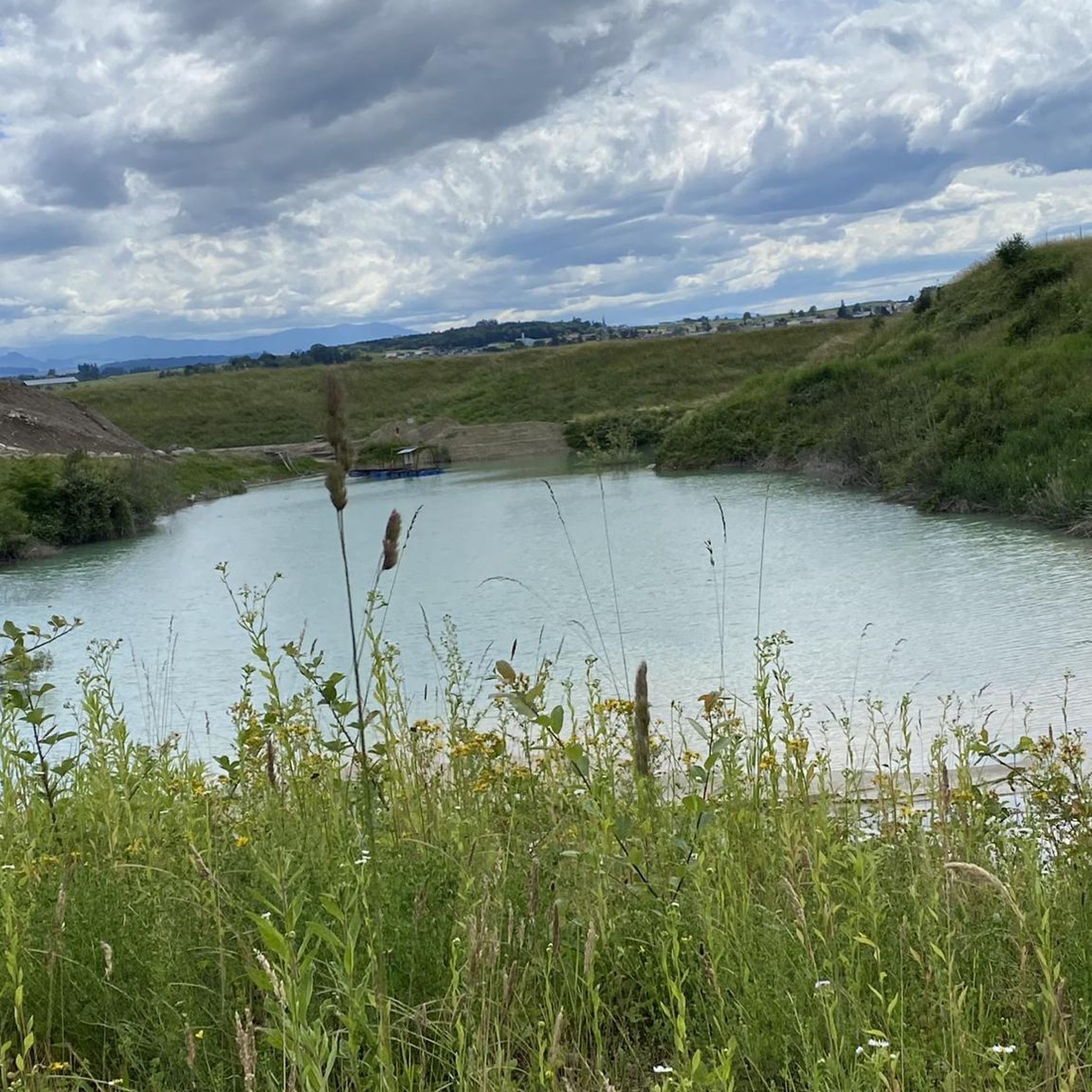
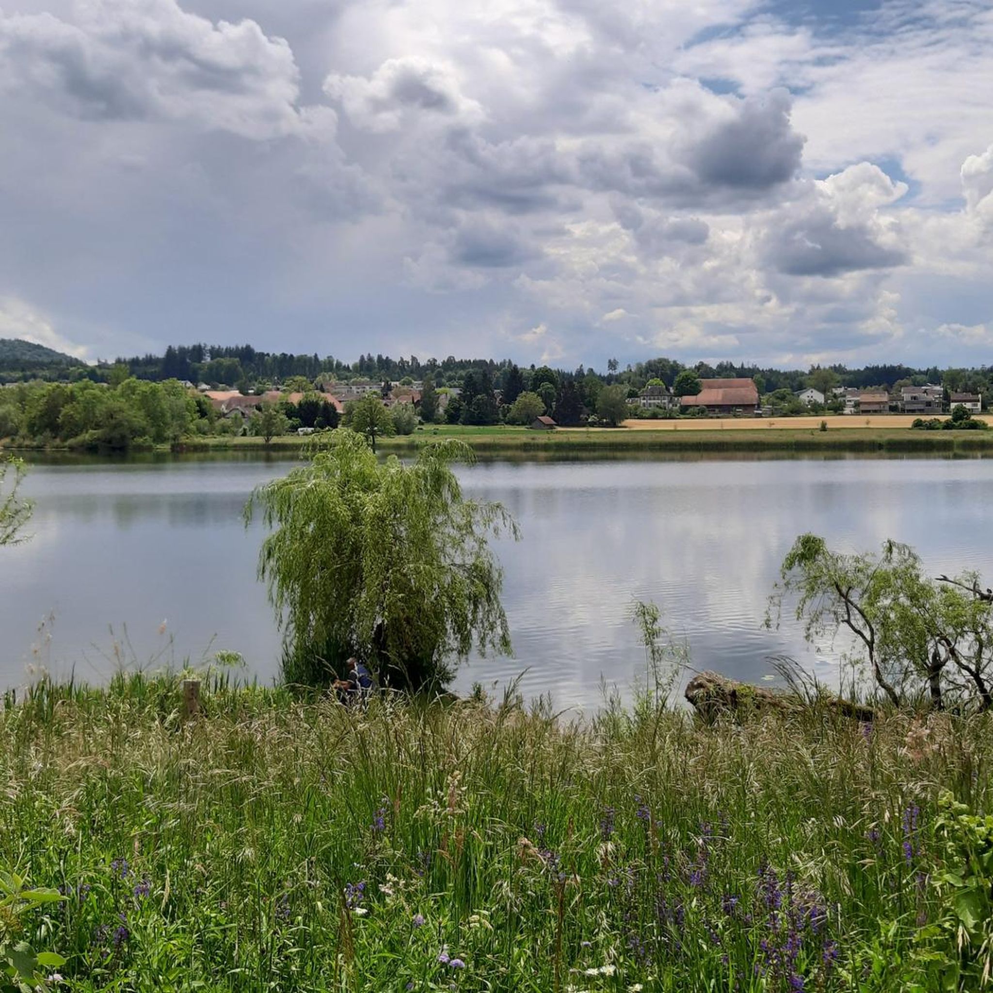
Very nicely located, the whole complex is well-kept and simply beautiful. The water in the moat looks almost "Maldivian" in color:-)
0
0
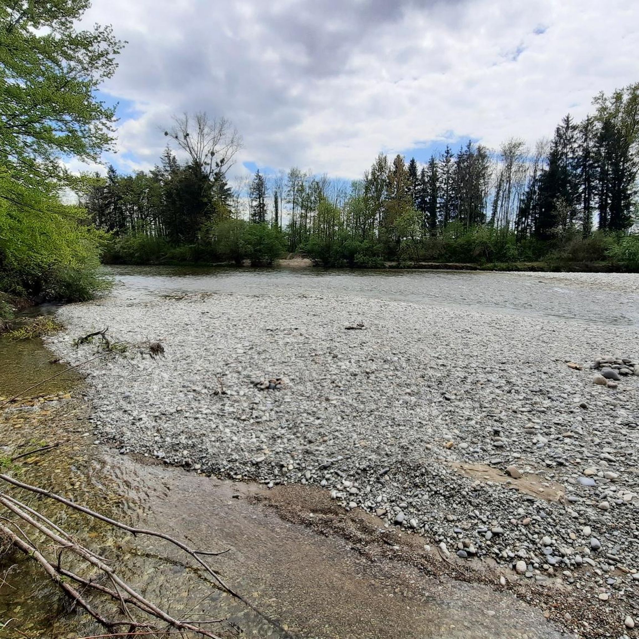
Located directly on the Emme. The site is beautifully designed and looks well-kept. Maybe we were just lucky? The sandy ground was freshly swept, it looked like we were on a beach.
0
0
Along the way, various information on the subject of faith is provided on boards. Even if you are not a big believer, it is definitely interesting to read.
0
0
Beautiful place above the Emme, be careful the slope is partly a bit unstable.
0
0
Small trail that can be taken as a shortcut if you don't like stairs.
0
0
Frequently Asked Questions
How many hiking trails are available around Fraubrunnen?
Fraubrunnen offers a wide selection of hiking experiences, with over 240 routes available. These range from easy strolls to more moderate hikes, catering to various fitness levels.
What kind of terrain can I expect on hikes in Fraubrunnen?
The region is characterized by a varied moraine landscape, featuring forested and gently hilly terrain. Many routes boast minimal elevation differences, making them accessible. You'll also find picturesque riverside paths along the Emme River and scenic routes through fields and meadows in the Limpach Valley.
Are there easy hiking trails suitable for beginners or casual walkers?
Yes, Fraubrunnen is well-suited for beginners and casual walkers. Over 170 of the available routes are classified as easy, offering pleasant strolls through the gentle landscape. An example is the Emmesteg Kräiligen loop from Wiler, which is just under 5 km and has minimal elevation.
Are there any circular hiking routes in Fraubrunnen?
Yes, many of the hiking trails in Fraubrunnen are circular, allowing you to start and end at the same point. For instance, the popular Emme Riverside Path – Emme Riverside Trail loop from Bätterkinden is a circular route following the Emme River.
What natural features or landmarks can I see along the hiking trails?
Hikers can enjoy the picturesque Emme River, with its renaturalized sections and riverside paths. The region also features a diverse moraine landscape. For historical interest, you might encounter the impressive Landshut Castle or the baroque Jegenstorf Castle, which are cultural highlights in the area.
Are there family-friendly hiking options in Fraubrunnen?
Fraubrunnen offers many routes suitable for families, especially given the generally gentle terrain and minimal elevation changes. The riverside paths along the Emme are particularly pleasant for walks with children. Look for easy-rated trails for the most family-friendly experiences.
Can I bring my dog on the hiking trails in Fraubrunnen?
Yes, the hiking trails around Fraubrunnen are generally dog-friendly. The diverse landscapes, including riverside paths and forested areas, provide excellent opportunities for walks with your canine companion. Always ensure your dog is under control and check for any specific local regulations or protected areas.
Are there designated barbecue areas along the hiking routes?
Yes, for those looking to combine hiking with a leisurely break, there are designated barbecue areas. A notable one is located on the Emme River, which you can access via routes like the Hidden Forest Path – Barbecue area on the Emme loop from Wiler.
What is the best time of year to go hiking in Fraubrunnen?
The region is enjoyable for hiking throughout much of the year. Spring and autumn offer pleasant temperatures and beautiful scenery, with vibrant foliage or blooming flowers. Summer is also popular, especially along the riverside paths. Even in winter, the gentle terrain can be suitable for walks, though conditions may vary.
How accessible are the hiking trails by public transport?
Many trails in the Fraubrunnen area are accessible by public transport, with starting points often near villages that have bus or train connections. This allows for convenient access to various routes without needing a car.
What do other hikers enjoy most about hiking in Fraubrunnen?
The hiking experiences in Fraubrunnen are highly rated by the komoot community, with an average score of 4.5 stars from over 440 reviews. Hikers often praise the varied and gentle moraine landscape, the picturesque Emme River, and the mix of forested and open terrain that provides diverse and enjoyable walks.
Are there any historical pilgrim routes in the Fraubrunnen area?
Yes, several historical pilgrim routes traverse the Fraubrunnen area, including sections of the Basler Way. These paths offer a unique way to experience the region's heritage, connecting Fraubrunnen to other significant locations like Solothurn and Bern.
Most popular routes around Fraubrunnen
Most popular attractions around Fraubrunnen

Get inspired with the komoot mobile app


Didn’t find what you were looking for?
Check out more Hikes throughout Fraubrunnen below and find the perfect route in your destination.
Explore more
Browse the best Hikes in other regions.
