The best road cycling routes around Fraureuth
4.6
(496)
5,769
riders
390
rides
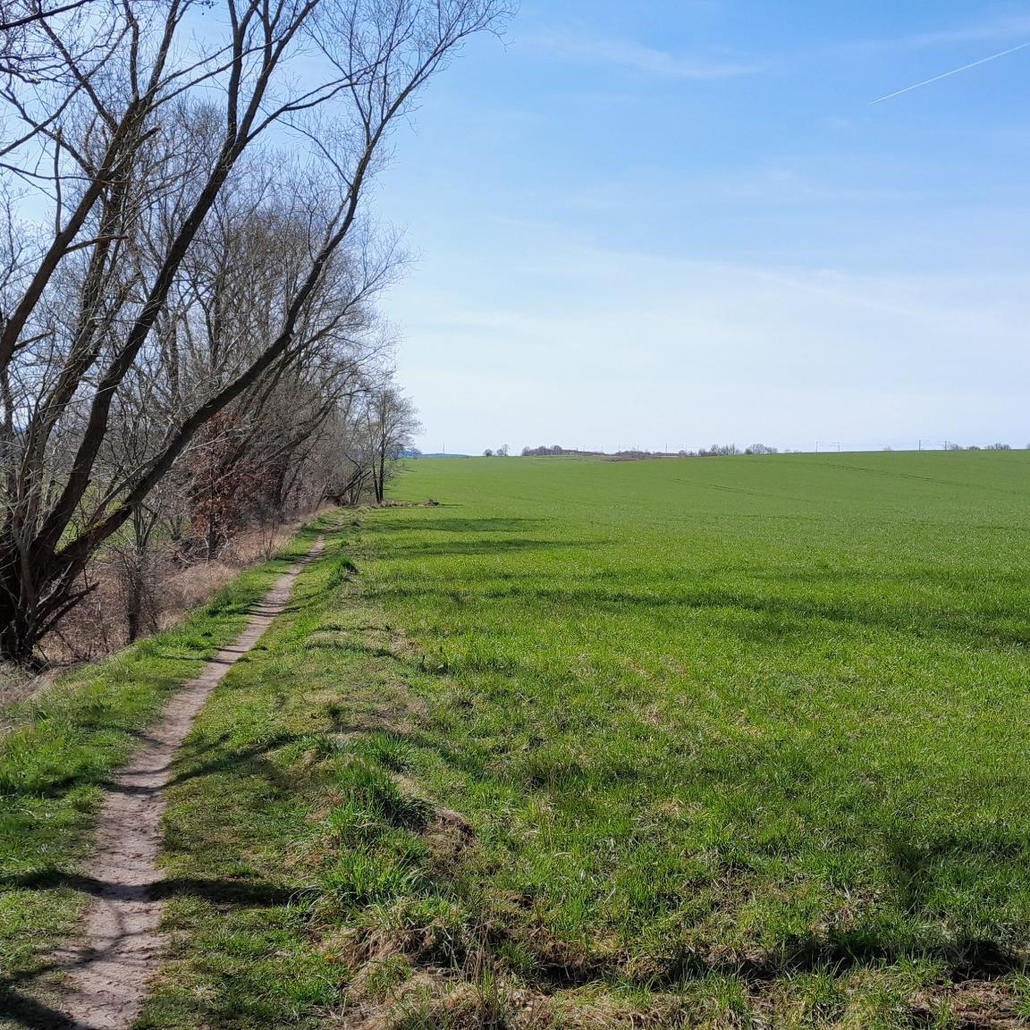
Road cycling routes around Fraureuth traverse a varied landscape characterized by mostly paved surfaces, making them suitable for road bikes. The region features a mix of open countryside and forested areas, including parts of the Werdauer Wald, offering diverse scenery. Cyclists encounter routes with gentle gradients as well as more demanding paths involving significant elevation changes. This environment provides options for various fitness levels, from leisurely rides to challenging ascents.
Best road cycling routes around Fraureuth
- The most popular road…
Last updated: July 10, 2026
4.8
(5)
51
riders
62.7km
02:40
430m
430m
Moderate road ride. Good fitness required. Mostly well-paved surfaces and easy to ride.
5.0
(3)
46
riders
45.4km
02:07
480m
480m
Moderate road ride. Good fitness required. Some segments of this route may be unpaved and difficult to ride.

Sign up for free
3.0
(3)
51
riders
Moderate road ride. Good fitness required. Some segments of this route may be unpaved and difficult to ride.
18
riders
68.7km
03:05
690m
690m
Moderate road ride. Good fitness required. Mostly well-paved surfaces and easy to ride.
4.0
(2)
22
riders
50.1km
02:10
430m
430m
Moderate road ride. Good fitness required. Mostly well-paved surfaces and easy to ride.
Get access to more routes and recommendations from other explorers.
Sign up for free
Already have an account?
Our route recommendations are based on thousands of hikes, rides, and runs completed by other people on komoot.
Start today with a free account
Your next adventure awaits.
Login or Signup
Tips from the Community

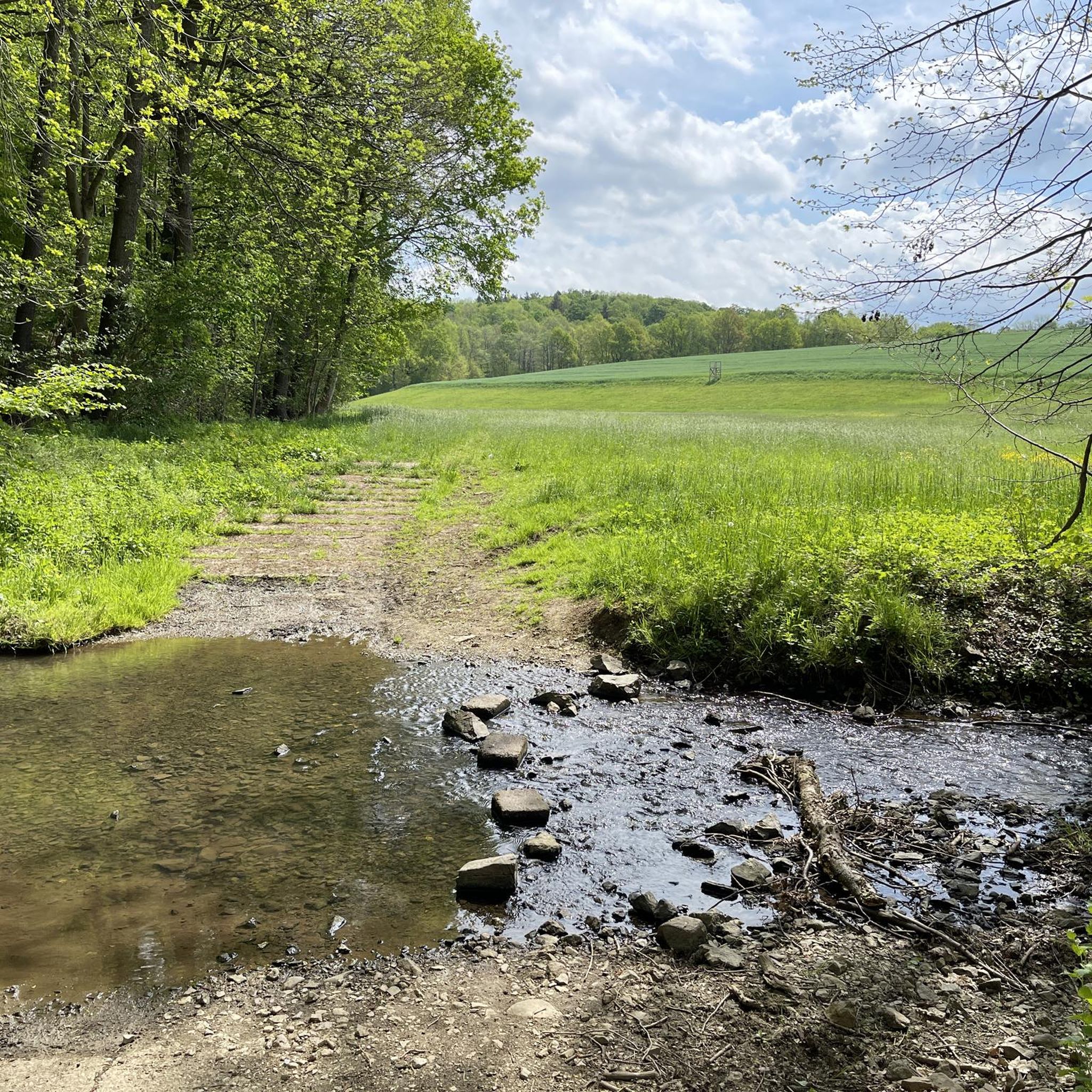
Beautiful tour through the Werdauer Wald with a relaxing destination, the Koberbachtalsperre.
0
0

Very beautiful castle, but the German Agricultural Museum is also super interesting. In various places in the town, you can visit the knight's estate, the farmstead, the bakery, etc. with interiors and be transported to the era.
12
0

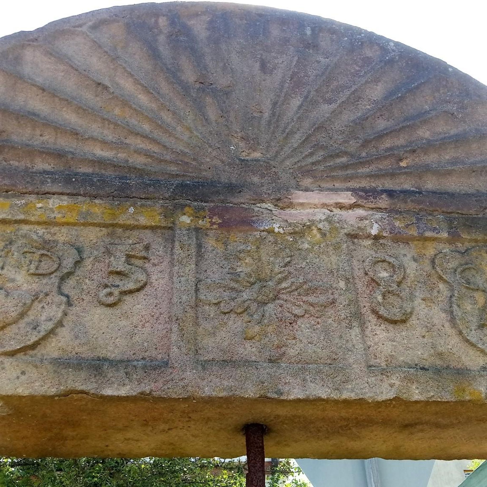
Nice point. Stop, find some peace, light a candle, write in your logbook...
0
0


Every now and then there is good church music here.
0
0
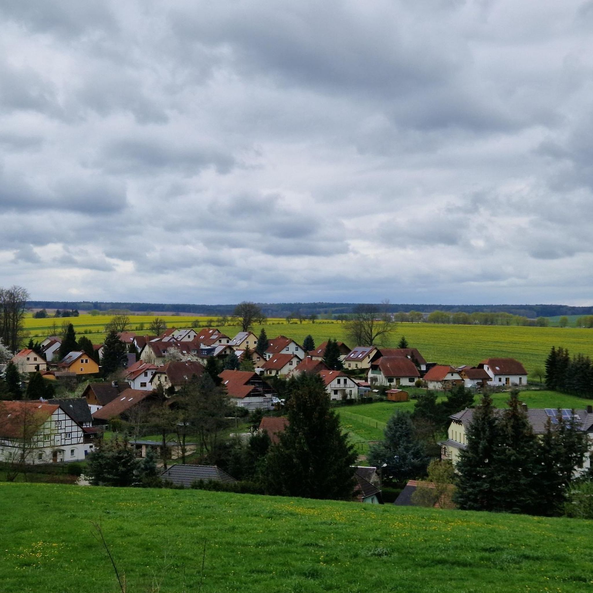
It's always a beautiful, idyllic destination, especially popular in summer. The ice cream van occasionally stops by. There's a large parking lot, as well as several seating areas and a sandy swimming area. The campsite is located directly behind it.
0
0

Small, fine dam, originally built to supply process water to the former textile factories downstream of the Pleisse.
0
0
A well-maintained tower hut with a view of the Ore Mountains, weather permitting. Accessible by bike or car. Parking is available across the street on the dirt road.
0
0
Frequently Asked Questions
How many road cycling routes are available around Fraureuth?
There are over 400 road cycling routes in the Fraureuth region, offering a wide variety of options for cyclists. These routes are highly rated by the komoot community, with an average score of 4.6 stars from over 400 reviews.
What kind of landscapes can I expect on road cycling routes near Fraureuth?
The region around Fraureuth offers varied landscapes, characterized by mostly paved surfaces ideal for road bikes. You'll encounter a mix of open countryside and forested areas, including parts of the scenic Werdauer Wald, providing diverse scenery throughout your ride.
Are there road cycling routes for different fitness levels in Fraureuth?
Yes, Fraureuth caters to all fitness levels. You can find easy bike rides with minimal elevation gain, moderate routes that might involve up to 1500 feet of elevation over several hours, and more challenging paths. There are 72 easy, 296 moderate, and 52 difficult routes to choose from.
What interesting sights or landmarks can I see along road cycling routes in Fraureuth?
Beyond the cycling itself, the area offers several points of interest. You might pass by historic sites like Princely Greiz Park or natural features such as the Wolfersgrün Reservoir. The region also features viewpoints like Köhlerspitze Viewpoint (345 m), offering scenic breaks.
Are there challenging road cycling routes with significant climbs near Fraureuth?
For experienced cyclists seeking a challenge, Fraureuth offers routes with significant elevation changes. For example, the Zwickau Market Square – Wernesgrüner Brewery loop from Neumark (Sachs) is a moderate route covering nearly 70 km with over 700 meters of ascent, providing a good workout on well-paved roads.
Can I find easy, relatively flat road cycling routes in Fraureuth?
Absolutely. Many routes in Fraureuth feature gentle gradients, making them suitable for leisurely rides. The Ponitz Renaissance Castle – Half-Timbered House in Gosel loop from Steinpleis is a moderate 51.1 km path that offers a scenic ride through the local countryside with minimal elevation changes, perfect for a relaxed outing.
Are there circular road cycling routes available in Fraureuth?
Yes, many road cycling routes around Fraureuth are designed as loops, allowing you to start and end at the same point. An example is the Koberbach Dam – Turmhütte Observation Tower loop from Steinpleis, a 61.9 km route that brings you back to your starting location.
Are there any natural features or viewpoints to enjoy on the road cycling routes?
The routes often traverse natural areas, including parts of the Werdauer Wald, providing scenic backdrops. You can also find specific viewpoints like the Köhlerspitze Viewpoint (345 m), offering panoramic views of the surrounding landscape.
Where can I find places to eat or rest along the road cycling routes?
You'll find various spots to refuel or rest. The Weidmannsruh Inn is a well-known establishment that can be incorporated into your ride, offering a place to stop and enjoy a meal or drink.
Are there any routes that pass by lakes or reservoirs?
Yes, some routes will take you past beautiful water bodies. The Koberbach Dam – Beiersdorf Church loop from Steinpleis is one such route that features the Koberbach Dam. You might also encounter highlights like the Wolfersgrün Reservoir or Schlötenteich.
What is the best time of year for road cycling in Fraureuth?
While specific seasonal details are not provided, the varied landscapes and well-paved routes suggest that spring through autumn would be ideal for road cycling in Fraureuth, offering pleasant temperatures and vibrant scenery. Always check local weather conditions before heading out.
Most popular routes around Fraureuth
Most popular attractions around Fraureuth

Get inspired with the komoot mobile app


Explore more
Browse the best Road cycling routes in other regions.
