The 14 Most Amazing Peaks around Tragwein
Mountain peaks around Tragwein are characterized by a charming hilly landscape in the lower Mühlviertel region of Upper Austria. This area features prominent elevations that provide rewarding experiences for hikers and nature enthusiasts. The terrain offers diverse vistas across the Mühlviertel landscape. These elevations are integrated into well-signed hiking trails of varying difficulty levels.
Best mountain peaks around Tragwein
- The most popular mountain peaks is Weltstein, a natural monument that is one of the highest elevations in the Upper…
Last updated: July 7, 2026
Weltstein
Highlight • Natural Monument
Translated by Google •
Tip by

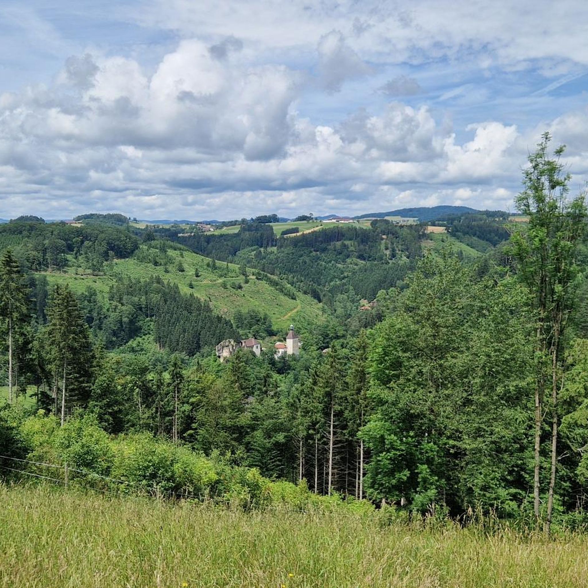
Hoh-Haus at Buchberg Observation Tower
Highlight • Viewpoint
Translated by Google •
Tip by

Sign up now to discover places like this
Get recommendations on the best single tracks, peaks, & plenty of other exciting outdoor places.
Sign up for free
Herrgottssitz Rock Formation
Highlight • Natural Monument
Translated by Google •
Tip by

Braunberg East Summit
Highlight • Summit
Translated by Google •
Tip by
Haiderberg Summit Cross and View over St. Leonhard near Freistadt
Highlight • Summit
Translated by Google •
Tip by
Sign up for free to discover even more peaks around Tragwein.
Sign up for free
Already have an account?
Start today with a free account
Your next adventure awaits.
Login or Signup

Tips from the Community

Great little summit cross - the view is great!!
0
0

Beautiful rock formation, short climbing section possible.
0
0

Wonderful circular hike away from the hustle and bustle in the hilly Mühlviertel landscape. The legend of the devil (information board at the summit cross) is really brilliant, a clever farmer😜
2
1

Such rock formations are more commonly found further north in the Mühlviertel region. A great destination for a day trip that is easy to reach or can be explored via a beautiful circular hiking trail: https://www.komoot.com/de-de/tour/2058392409
2
2

Beautiful hike along the Johannesweg
0
0

A great granite stone with a summit cross. This place of power offers the opportunity to rest and pause. If you want to go up to the summit cross, a good hiking shoe with a firm grip is highly recommended.
1
0

The hiking trail is also wonderful when coming up from Windegg. The last stretch to the rock formation is then a matter of personal judgement.
0
0

Summit tour with beautiful views and chapel.
1
0
Frequently Asked Questions
What are the most notable elevations or peaks in the immediate vicinity of Tragwein?
While Tragwein is characterized by a charming hilly landscape rather than towering mountains, two prominent elevations stand out: Katzenberg (592 m) and Hennberg (~580 m). Both offer rewarding experiences for hikers and nature enthusiasts, providing diverse vistas across the Mühlviertel landscape.
What are some of the highest peaks or viewpoints mentioned around Tragwein?
The region features several notable high points. The Herrgottssitz Rock Formation is the highest point in Schönau at 855 meters. The Haiderberg Summit Cross reaches 907 meters, making it the highest point in the municipality of St. Leonhard. Katzenberg, at 592 meters, is the highest point directly north of Tragwein's town center.
Are there easy hiking trails to the peaks around Tragwein?
Yes, many of the trails leading to the peaks around Tragwein are considered accessible and suitable for various fitness levels. For instance, the hike from Tragwein to Katzenberg takes about half an hour and is relatively easy. The Weltstein also offers a wonderful circular hike away from the hustle and bustle in the hilly Mühlviertel landscape.
What kind of views can I expect from the peaks around Tragwein?
The peaks and elevated points around Tragwein offer expansive panoramic views. From Katzenberg, you can see the picturesque Aist-Naarn hill country, the distant Danube plain, and the town of Bad Zell. Hennberg and other smaller heights also provide wonderful views of Tragwein and, on clear days, even the distant Priel area mountains.
Are there family-friendly peaks or viewpoints suitable for children near Tragwein?
Absolutely. The Hoh-Haus at Buchberg Observation Tower is highlighted as a family and child-friendly hike. The Weltstein is also considered family-friendly, offering a pleasant circular hike.
What unique landmarks or natural monuments can I find on the peaks near Tragwein?
You can discover several unique landmarks. The Weltstein is a natural monument known for its legend of the devil. The Herrgottssitz Rock Formation is a legendary rock considered a place of power. Additionally, the Hoh-Haus at Buchberg Observation Tower is an architectural masterpiece sitting on a historic castle rock.
What outdoor activities can I do near these mountain peaks?
Beyond hiking, the region around Tragwein offers diverse outdoor activities. You can explore various routes for hiking, gravel biking, and cycling. These guides feature routes of varying difficulties, allowing you to experience the hilly landscape in different ways.
Are there circular hiking routes available near Tragwein's peaks?
Yes, both Katzenberg and Hennberg are integrated into well-signed circular hiking routes that originate from Tragwein's main square. These routes allow you to explore the natural beauty of the region and enjoy diverse vistas.
What do visitors enjoy most about the peaks around Tragwein?
Visitors particularly appreciate the wonderful panoramic views from these elevated points, the accessible nature of many trails, and the peaceful atmosphere for rest and relaxation. The unique natural monuments and the blend of history and modernity, such as at the Hoh-Haus observation tower, also receive positive feedback.
How are the peaks around Tragwein integrated into the wider hiking network?
Katzenberg, for example, connects to the Mühlviertler Weitwanderweg 510, a long-distance hiking path, allowing for extended trekking opportunities. Many local trails also link up with broader networks, offering varied routes for exploration.
Is there any peak around Tragwein that is wheelchair accessible?
The Braunberg East Summit is listed as wheelchair accessible, offering an opportunity for a great view for all visitors, although the viewpoint may be partially covered by trees.
Can I find historical sites or structures on the peaks?
Yes, the Hoh-Haus at Buchberg Observation Tower is an architectural masterpiece sitting on a historic castle rock, offering a symbiosis of history and modernity. The Herrgottssitz Rock Formation is also associated with historical legends and past gatherings.
Most popular routes around Tragwein
Most popular attractions around Tragwein

Get inspired with the komoot mobile app


Explore more
See even more amazing summits around Tragwein with these guides:
