The best walks and hikes around Fronhofen
4.5
(3318)
11,856
hikers
771
hikes
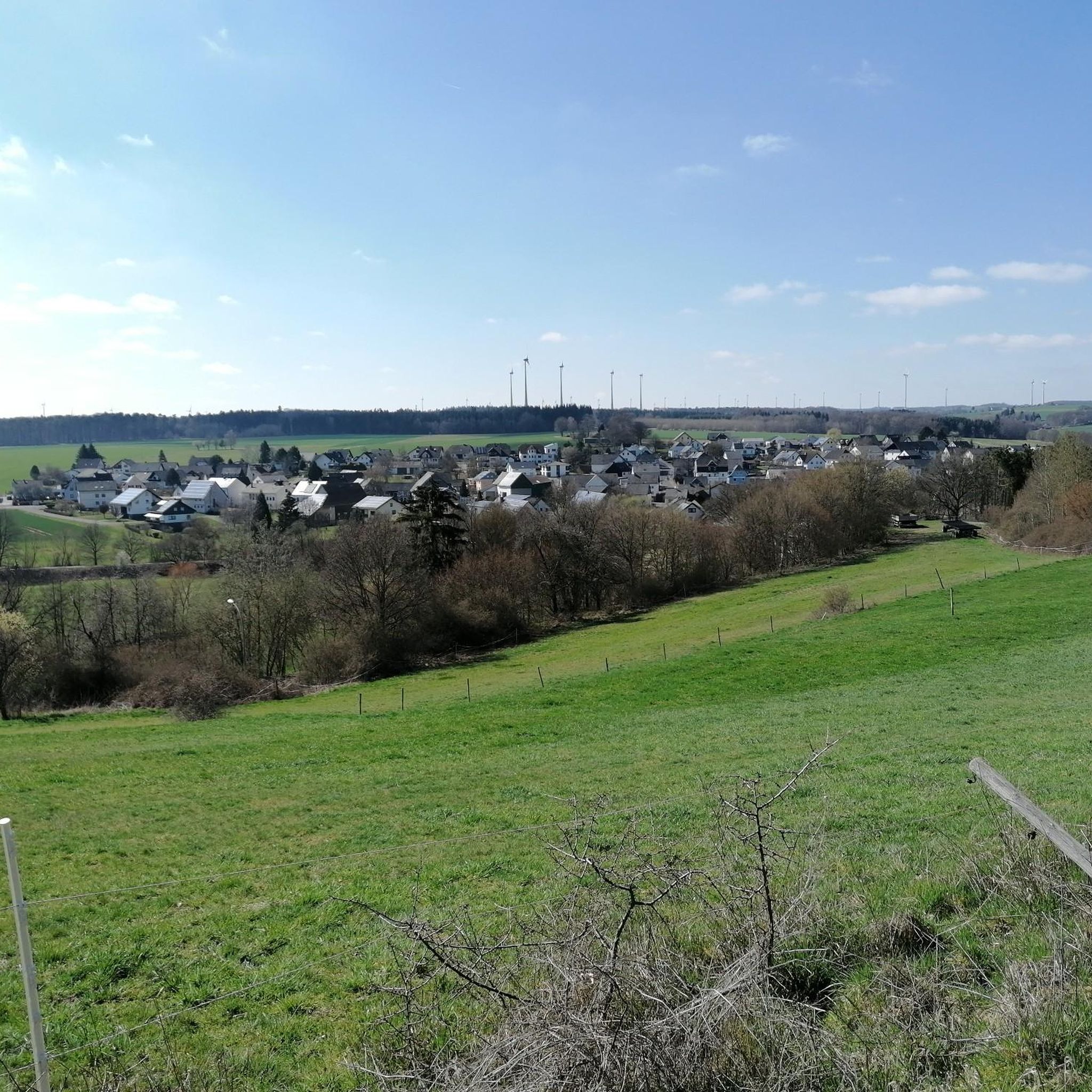
Hiking around Fronhofen offers a variety of trails through mixed woodlands and rolling hills typical of the region. The landscape features smaller streams and diverse natural settings, providing opportunities for outdoor activities. Hikers can explore routes that lead past local points of interest, including geological formations and historical markers. The area's terrain is generally accessible, with options ranging from gentle paths to more undulating routes.
Best hiking trails around Fronhofen
- The most popular hiking route is Bench loop from Fronhofen…
Last updated: July 14, 2026
4.3
(3)
6
hikers
8.59km
02:17
80m
80m
Moderate hike. Good fitness required. Easily-accessible paths. Suitable for all skill levels.
4.7
(6)
7
hikers
6.58km
01:44
60m
60m
Easy hike. Great for any fitness level. Easily-accessible paths. Suitable for all skill levels.

Sign up for free
5.0
(1)
6
hikers
5.37km
01:25
40m
40m
Easy hike. Great for any fitness level. Easily-accessible paths. Suitable for all skill levels.
4.5
(2)
4
hikers
Easy hike. Great for any fitness level. Easily-accessible paths. Suitable for all skill levels.
5.0
(3)
3
hikers
Moderate hike. Good fitness required. Easily-accessible paths. Suitable for all skill levels.
Get access to more routes and recommendations from other explorers.
Sign up for free
Already have an account?
Our route recommendations are based on thousands of hikes, rides, and runs completed by other people on komoot.
Start today with a free account
Your next adventure awaits.
Login or Signup
Tips from the Community

A barbecue area in the middle of the forest with a small pond, which is especially beautiful to look at in winter when it is frosty ❄️
0
0


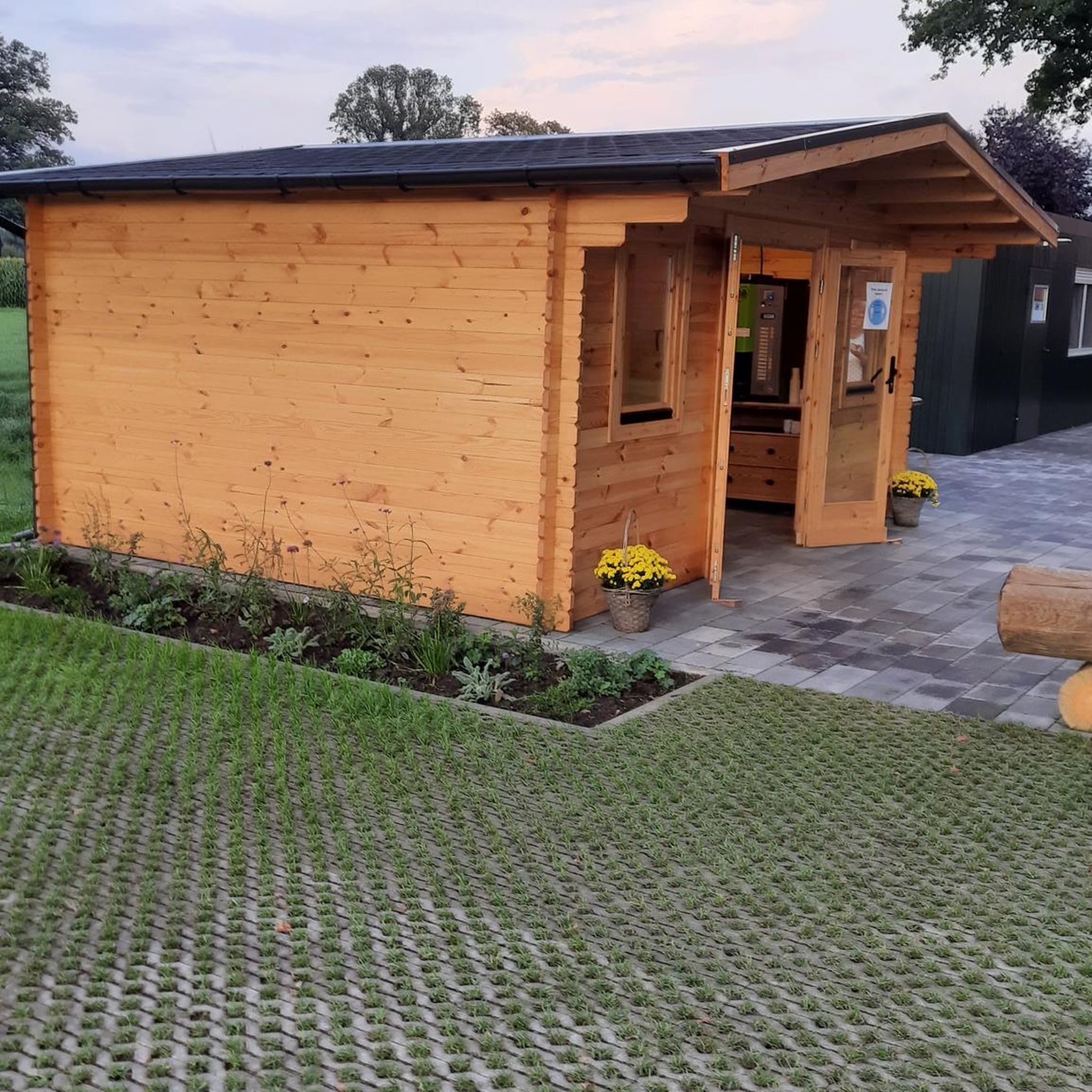
The barbecue hut is located directly at the Michelbach waterworks from 1912. At the large parking lot there is the hut with the swivel grill that is obligatory for the Hunsrück, a shelter with benches, a toilet facility, as well as a collected spring and the pond fed by it.
1
0
This spring, which also bubbles up under a cover in winter, feeds a nameless tributary of the Sickerbach and also fills the pond at the Michelbach grill hut.
1
0
The Mariengrotte was built in 2003 with many hours of personal work by the craftsmen and citizens of Reich. Several rest benches in front of and under the shelter.
0
0
The war memorial in Reich is one of the largest memorials for the fallen of both world wars in the Rhein-Hunsrück district. The names of 21 fallen soldiers from the First World War are engraved on a memorial stone. An oak tree was planted for each of these soldiers. After World War II, 35 wooden crosses were added to commemorate those who died or were missing in World War II.
0
0
On the edge of a new development area, the 50th degree of latitude is marked with a boulder and a steel globe placed on it.
1
0
On the route of the Hunsrückquerbahn, which leads past Nickweiler, there is an elongated house, which was once a beautiful large bee house in terms of its design and the wooden boxes that were left behind. Between smaller equipment rooms there are roofed areas that are open on one side, where the beehives were set up, which could then swarm out into the adjacent fields.
1
0
Frequently Asked Questions
How many hiking trails are available around Fronhofen?
Fronhofen offers a wide variety of hiking experiences, with over 750 trails documented on komoot. These routes cater to different preferences, ranging from easy strolls to more challenging hikes through the region's diverse landscapes.
Are there easy hiking options for beginners or families in Fronhofen?
Yes, Fronhofen is very welcoming for beginners and families, with over 460 easy routes available. A great option is the Deer Enclosure Near Biebern loop from Fronhofen, an easy 4.1-mile (6.6 km) path that takes you through forest areas, offering opportunities to observe local wildlife.
What kind of natural features can I expect to see on hikes around Fronhofen?
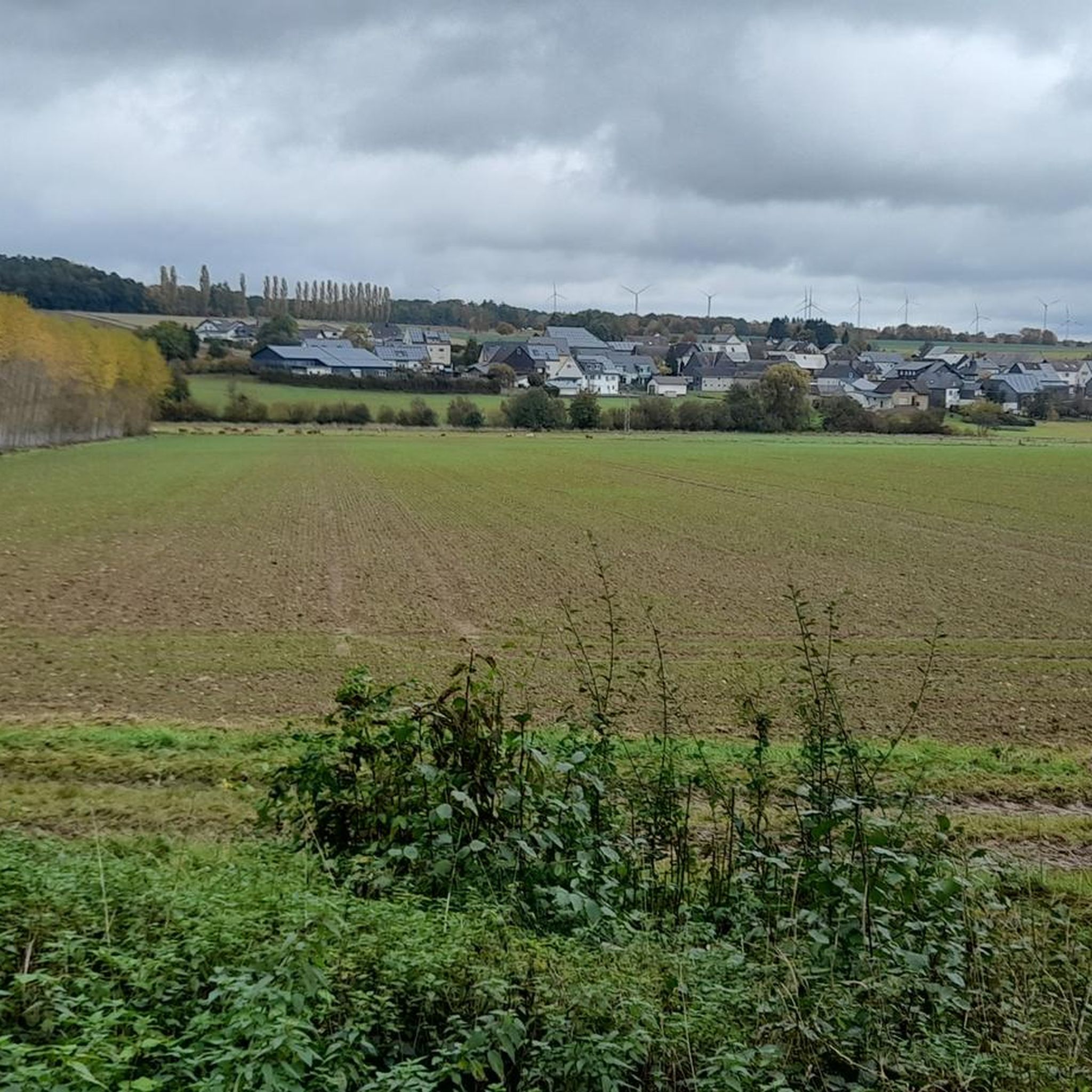
The hiking trails around Fronhofen lead through mixed woodlands and rolling hills, characteristic of the region. You might encounter smaller streams and diverse natural settings. Notable geological features include a Schieferfelsen (slate rock) along some routes, adding to the natural interest.
Are there any circular hiking routes in Fronhofen?
Many of the trails around Fronhofen are designed as circular routes, allowing you to start and end at the same point. A popular choice is the Bench loop from Fronhofen, a moderate 5.3-mile (8.6 km) trail known for its varied terrain and scenic resting spots.
What do other hikers enjoy most about the trails in Fronhofen?
The hiking routes in Fronhofen are highly rated by the komoot community, with an average score of 4.5 stars from over 3,000 reviews. Hikers often praise the well-maintained paths, the peaceful mixed woodlands, and the variety of routes suitable for different fitness levels. Over 12,000 hikers have used komoot to explore the area.
Are there any historical or cultural landmarks to discover while hiking?
Yes, some routes incorporate local landmarks. For instance, the Deer Enclosure Near Biebern – Protestant Church Biebern loop from Biebern leads through mixed woodlands and past local points of interest, including the Protestant Church Biebern. Additionally, a memorial to Alfred Teichmann, a pilot shot down in World War II, is located near a forest edge, which can be explored on routes like the Memorial to Alfred Teichmann – Marian Grotto Reich loop from Biebern.
Can I find any caves or natural monuments near the hiking trails?
Yes, the region around Fronhofen features several interesting natural monuments and caves. You can explore highlights such as the Katzenloch Slate Mine or the Schinderhannes Cave. For natural monuments, consider visiting the Water Lily Pond or the Landreitgraben.
Are the hiking trails around Fronhofen dog-friendly?
Many of the trails in Fronhofen are suitable for hiking with dogs, offering natural environments and open spaces. It's always recommended to keep your dog on a leash, especially in areas with wildlife or near agricultural land, and to check specific route details for any restrictions.
What is the best time of year to go hiking in Fronhofen?
Fronhofen offers pleasant hiking experiences throughout much of the year. Spring and autumn are particularly beautiful, with vibrant foliage or blooming flora. Summer provides warmer weather for longer excursions, while winter hikes can be serene, though conditions may vary. The mixed woodlands offer shade in summer and some shelter in cooler months.
Are there any places to rest or have a picnic along the trails?
Yes, some routes around Fronhofen feature designated resting spots. For example, a Grillhütte (barbecue hut) is noted along a loop that includes Fronhofen, providing a potential spot for a break or picnic. Many trails also have benches or scenic clearings perfect for a rest.
What is the typical elevation gain on hikes in Fronhofen?
The hikes around Fronhofen generally feature rolling hills rather than steep ascents. For instance, an easy route like the Hiking loop from Michelbach has an elevation gain of about 43 meters, while a moderate trail like the Bench loop from Fronhofen involves around 84 meters of ascent. This makes most trails manageable for a wide range of fitness levels.
Most popular routes around Fronhofen
Most popular attractions around Fronhofen

Get inspired with the komoot mobile app


Explore more
Browse the best Hikes in other regions.
