The 20 Most Amazing Peaks around Nikolsdorf
Best mountain peaks around Nikolsdorf are found in this municipality, strategically located in the Austrian state of Tyrol. Situated at an altitude of 888 m, Nikolsdorf lies between the Hohe Tauern to the north and the Gailtal Alps to the south, at the eastern edge of the Lienz basin. This position provides access to various mountain peaks and ranges, making it a base for mountain exploration. The area is known for its network of hiking and cycling trails, offering diverse…
Last updated: July 6, 2026
Ederplan
Highlight • Summit
Translated by Google •
Tip by

Kerschbaumer Pass
Highlight • Mountain Pass
Translated by Google •
Tip by

Sign up now to discover places like this
Get recommendations on the best single tracks, peaks, & plenty of other exciting outdoor places.
Sign up for free
Scharnik Summit (2,657 m)
Highlight • Summit
With lots of rocks and small stones, it is a bit exposed and slightly steep.
Translated by Google •
Tip by

Iselsberg Pass
Highlight • Mountain Pass
Showing Translation
Tip by

Mokarspitz
Highlight • Summit
Translated by Google •
Tip by
Sign up for free to discover even more peaks around Nikolsdorf.
Sign up for free
Already have an account?
Start today with a free account
Your next adventure awaits.
Login or Signup

Tips from the Community

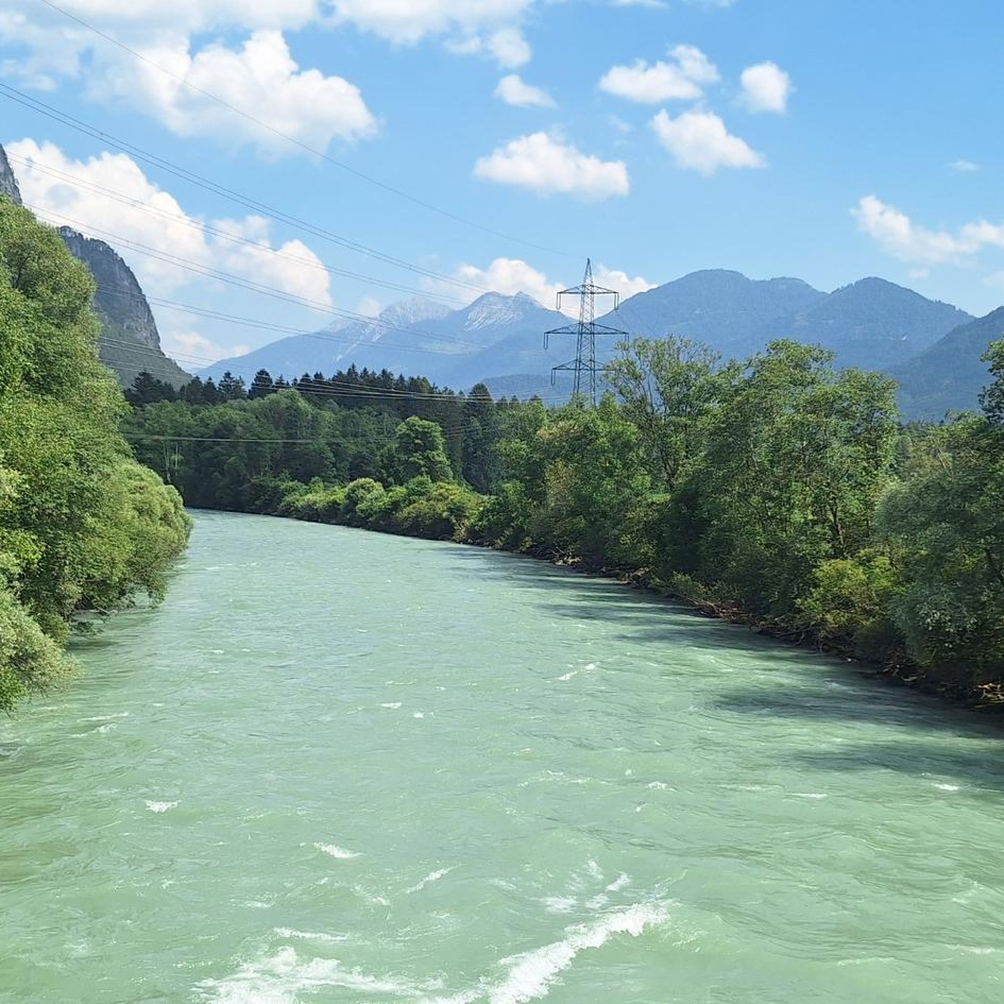
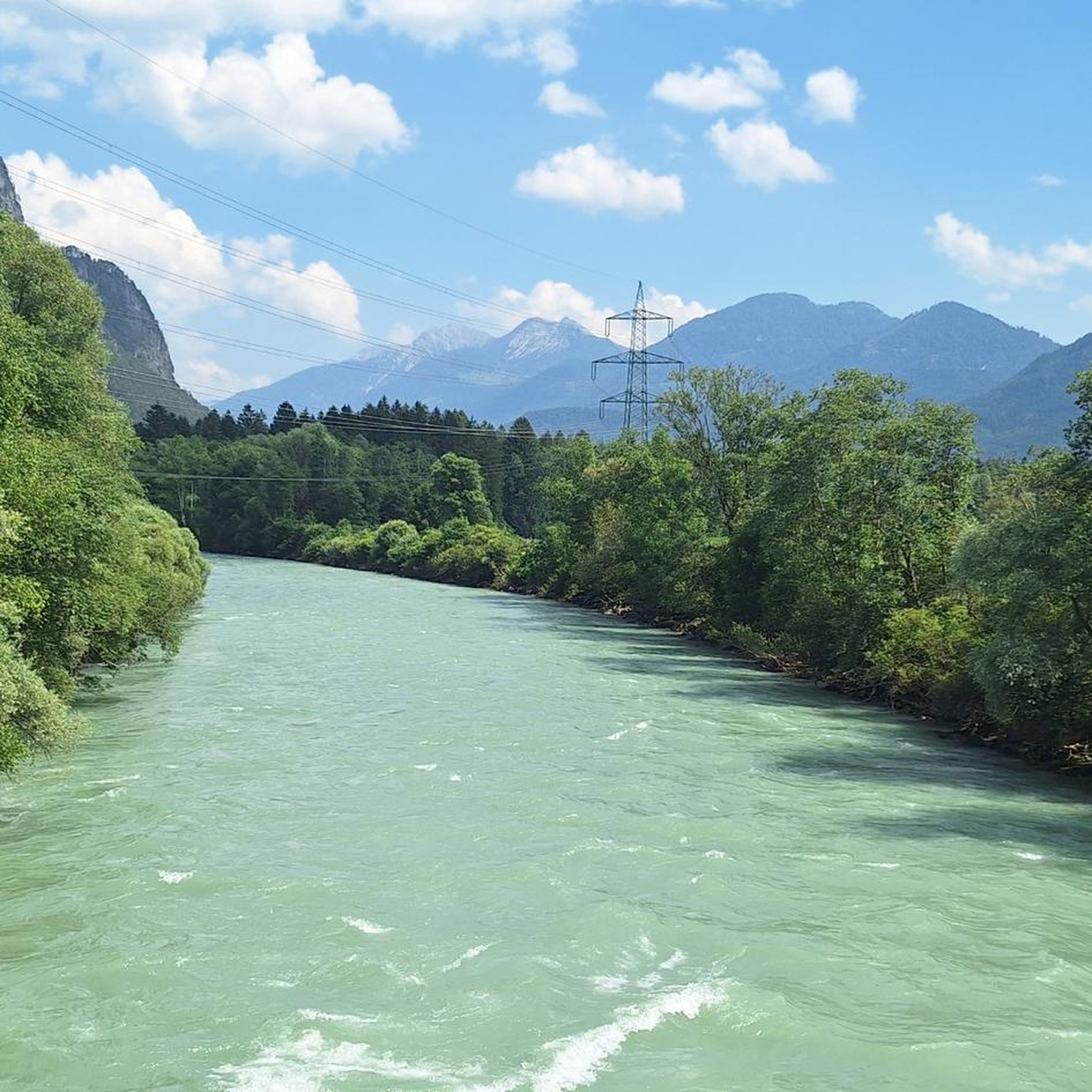
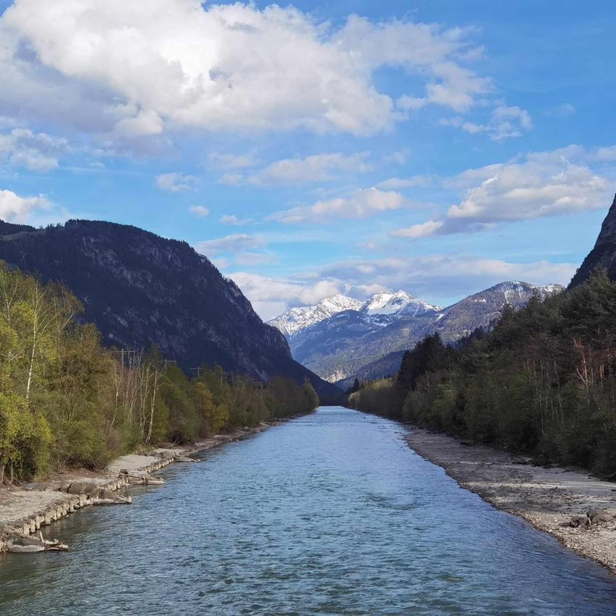
scenically beautiful transition from the Karlsbader Hütte to the Kerschbaumer Alm
0
0


Very nice cycle path with good asphalt and a great panorama.
0
0

After a drive on the Großglockner High Alpine Road, this pass was rather unspectacular. Relatively heavy traffic on the B107, so I would rather recommend the old Iselsbergstraße uphill.
7
1

First test on the Glocknerstrasse if you come from the south. »The 1209 m above sea level A. ... high Iselsberg - also called Iselsbergpass - is a mountain pass in Austria. The Großglockner Straße (B 107) leads over the top of the pass, connecting the Lienz valley floor in the East Tyrolean Drautal with the Carinthian Mölltal. In order to reach the mines of the Mölltal, there was already a way over the Iselsberg in Roman times. « via https://de.wikipedia.org/wiki/Iselsberg_(Pass)
0
0

obligatory climb for those coming from Großglockner, and equally undesirable
4
1

From Anna-Schutzhasu, 10 minutes on foot to the Ederplan summit cross. Even for an eMTB, a short, very steep final climb - but very worthwhile. The last 700 meters to the hut are a bad, trail-like road, the first 300 meters of which are very steep.
1
1

Border between Carinthia and East Tyrol
5
1
Frequently Asked Questions
Which mountain peaks near Nikolsdorf offer easy hiking experiences?
For an easy and rewarding mountain experience, consider the Ederplan. This summit, part of the Kreuzeck Group, is accessible via a less strenuous hike and provides great all-round views from the Dolomites to the Schober group. It's also suitable for an afternoon hike.
Where can I find the best panoramic views of the surrounding mountain ranges?
The Mokarspitz, located on the edge of the Kreuzeck Group, offers magnificent panoramic views. From here, you can see the Kreuzeck Group, the Gailtal Alps, and the Hochjoch, which is the highest mountain in the Carnic Alps.
Are there challenging mountain peaks for experienced hikers near Nikolsdorf?
Yes, the Scharnik Summit (2,657 m) presents a more demanding ascent. The path along its ridge is exposed and somewhat steep, characterized by rocks and small stones, offering a thrilling experience for experienced mountaineers.
What are the Lienz Dolomites known for, and how can I explore them from Nikolsdorf?
The Lienz Dolomites, visible from Nikolsdorf, are known for their rugged scenery and challenging routes. You can explore them via the Kerschbaumer Pass, which offers breathtaking views of the Lienz Dolomites and the glaciated peaks of the Hohe Tauern. This area is ideal for multi-day hut tours, with the Karlsbader Hütte being a notable stop.
What kind of outdoor activities can I do near the mountain peaks around Nikolsdorf?
Nikolsdorf is an excellent base for various outdoor activities. Beyond peak bagging, you can enjoy extensive hiking and cycling. For specific hiking routes, explore the Hiking around Nikolsdorf guide, which includes trails like the 'Rabant Alm loop'. For more challenging mountaineering, check out the Mountain Hikes around Nikolsdorf guide, featuring routes like the 'Round tour to the Hochstadel'.
Are there family-friendly mountain walks available in the Nikolsdorf area?
Yes, the region offers options suitable for families. The Ederplan is noted as family-friendly, providing an accessible hike with rewarding views. Nikolsdorf itself has an extensive network of trails, many of which are suitable for less strenuous family outings.
What is the best time of year to hike the mountains around Nikolsdorf?
While specific seasonal data isn't provided, the region's extensive hiking and cycling trails suggest that spring through autumn would be ideal for most mountain activities, offering pleasant weather for exploring the peaks and ranges like the Kreuzeck Group and Gailtal Alps.
What are the Hohe Tauern mountains, and how are they connected to Nikolsdorf?
The Hohe Tauern is one of Austria's most significant mountain ranges, located north of Nikolsdorf. While not directly within the municipality, its grandeur can be appreciated from various viewpoints, such as the Kerschbaumer Pass, which offers views of its glaciated peaks. Sightseeing flights from a nearby airfield also provide a unique aerial perspective of this majestic range.
Can I find mountain passes with scenic views near Nikolsdorf?
Absolutely. Besides the Kerschbaumer Pass with its views of the Lienz Dolomites and Hohe Tauern, the Iselsberg Pass also offers beautiful views of Lienz and the surrounding mountains.
What do visitors particularly enjoy about the mountain peaks around Nikolsdorf?
Visitors frequently praise the magnificent panoramic views from various summits, such as the all-round vistas from Ederplan and the extensive outlooks from Mokarspitz. The diverse range of trails, from easy hikes to challenging ascents, and the stunning natural beauty of the Lienz Dolomites and Hohe Tauern also contribute to a highly appreciated outdoor experience.
What is the geographical significance of Nikolsdorf in relation to the surrounding mountains?
Nikolsdorf is strategically located at an altitude of 888 m, nestled between the Hohe Tauern to the north and the Gailtal Alps to the south, at the eastern edge of the Lienz basin. This position provides direct access to various mountain peaks and ranges, making it an excellent base for mountain exploration in East Tyrol.
Most popular routes around Nikolsdorf
Most popular attractions around Nikolsdorf

Get inspired with the komoot mobile app


Explore more
See even more amazing summits around Nikolsdorf with these guides:
