The 20 Most Amazing Peaks around Iselsberg-Stronach
Best mountain peaks around Iselsberg-Stronach are situated in a charming municipality in the Austrian state of Tyrol, at an elevation of 1,117 meters. It offers expansive views of the Lienz basin and the Mölltal valley. The area is flanked by the Schober Group and the Kreuzeck Group, providing vistas of the Lienz Dolomites. This region serves as a base for exploring a picturesque mountainous landscape.
Best mountain peaks around Iselsberg-Stronach
- The most popular mountain peaks is Ederplan, a summit…
Last updated: September 27, 2026
Ederplan
Highlight • Summit
Translated by Google •
Tip by

Kerschbaumer Pass
Highlight • Mountain Pass
Translated by Google •
Tip by

Sign up now to discover places like this
Get recommendations on the best single tracks, peaks, & plenty of other exciting outdoor places.
Iselsberg Pass
Highlight • Mountain Pass
Showing Translation
Tip by

Hornscharte
Highlight • Mountain Pass
Showing Translation
Tip by

Petzeck
Highlight • Summit
To the Wangenitzseehütte (896 m in altitude/5.2 km; 2.5-3 hours): From the car …
Translated by Google •
Tip by

Sign up for free to discover even more peaks around Iselsberg-Stronach.
Already have an account?
Start today with a free account
Your next adventure awaits.
Popular around Iselsberg-Stronach
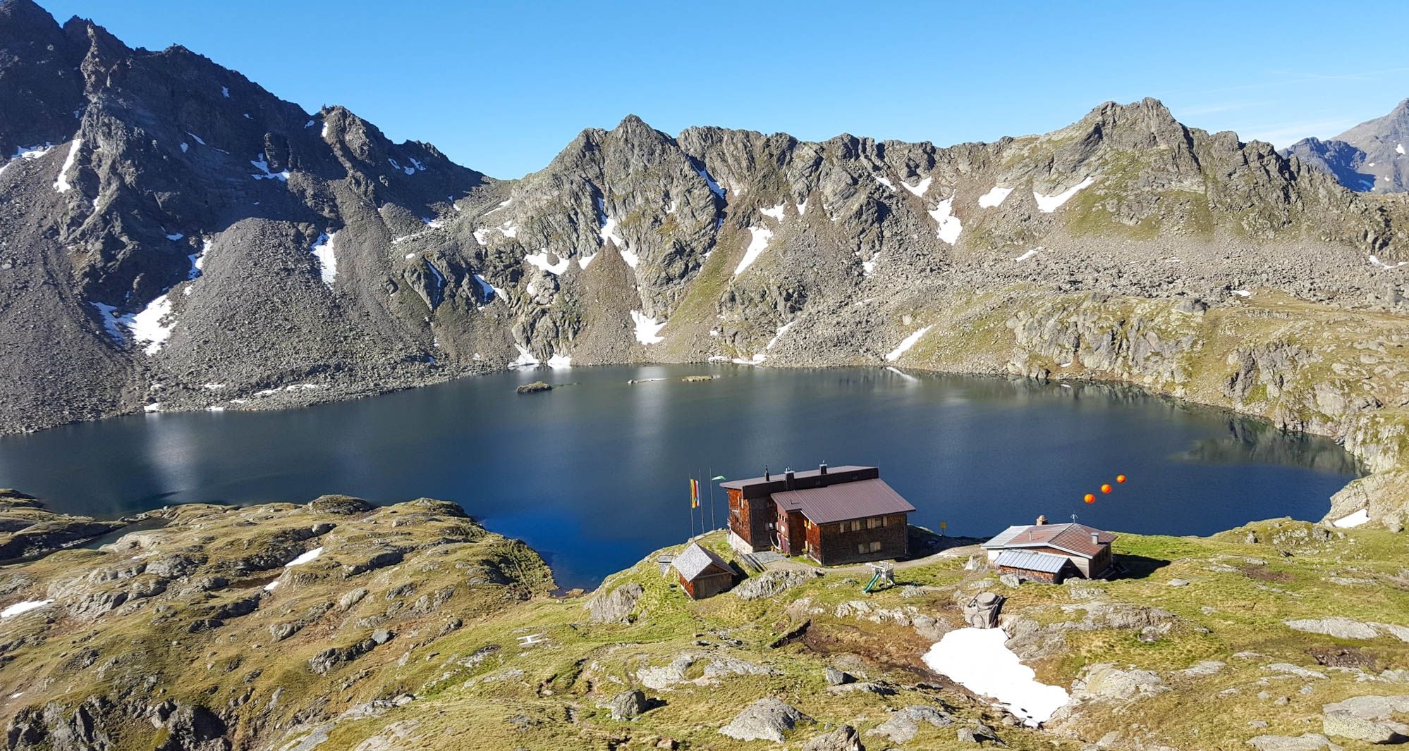
Wiener Höhenweg in Austria – 6 stages in the Schober Group
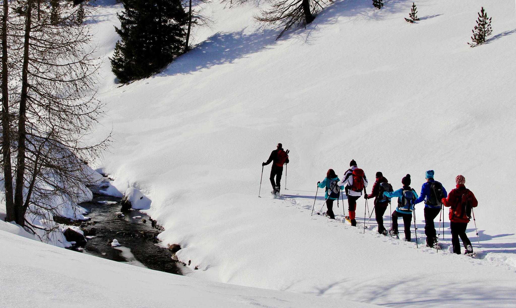
Snowshoe magic in East Tyrol
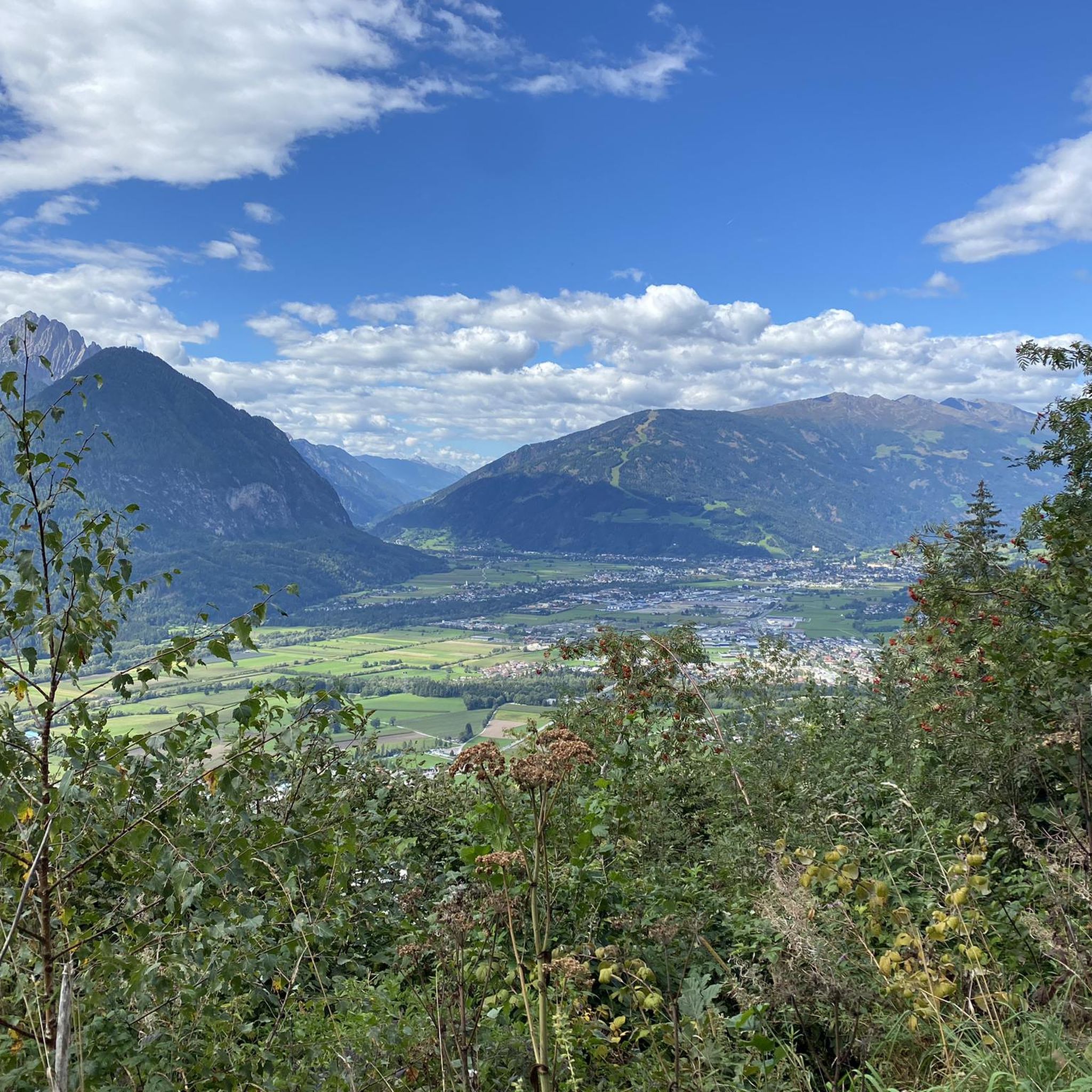
Road Cycling Routes around Iselsberg-Stronach
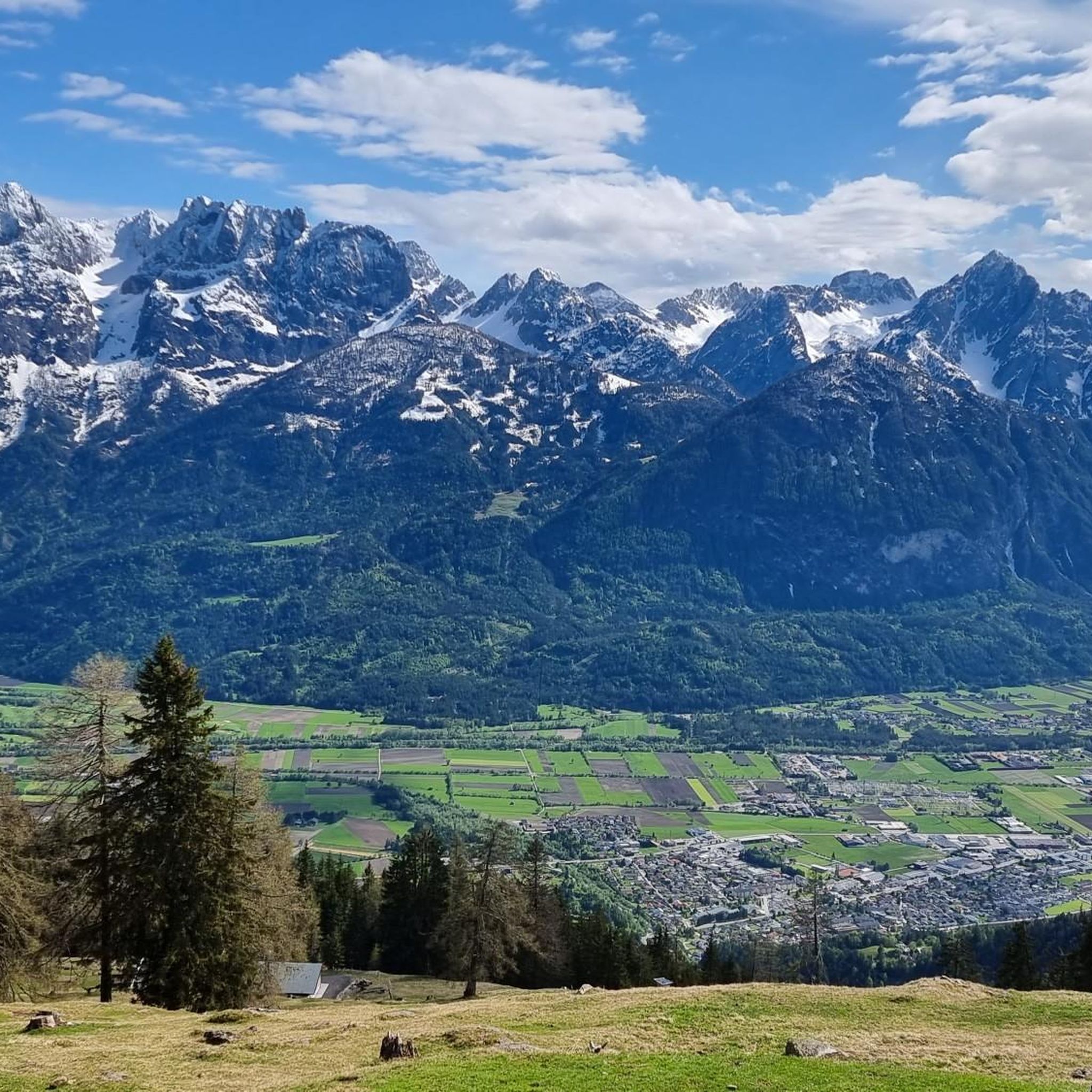
Hiking around Iselsberg-Stronach
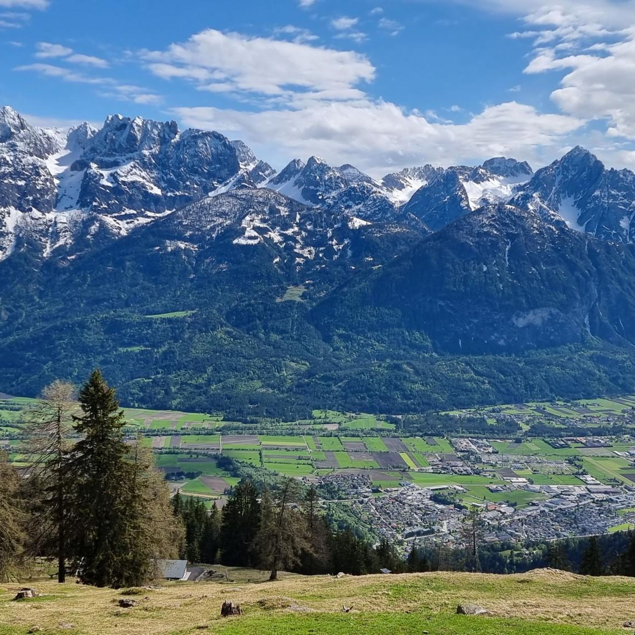
Cycling around Iselsberg-Stronach
MTB Trails around Iselsberg-Stronach
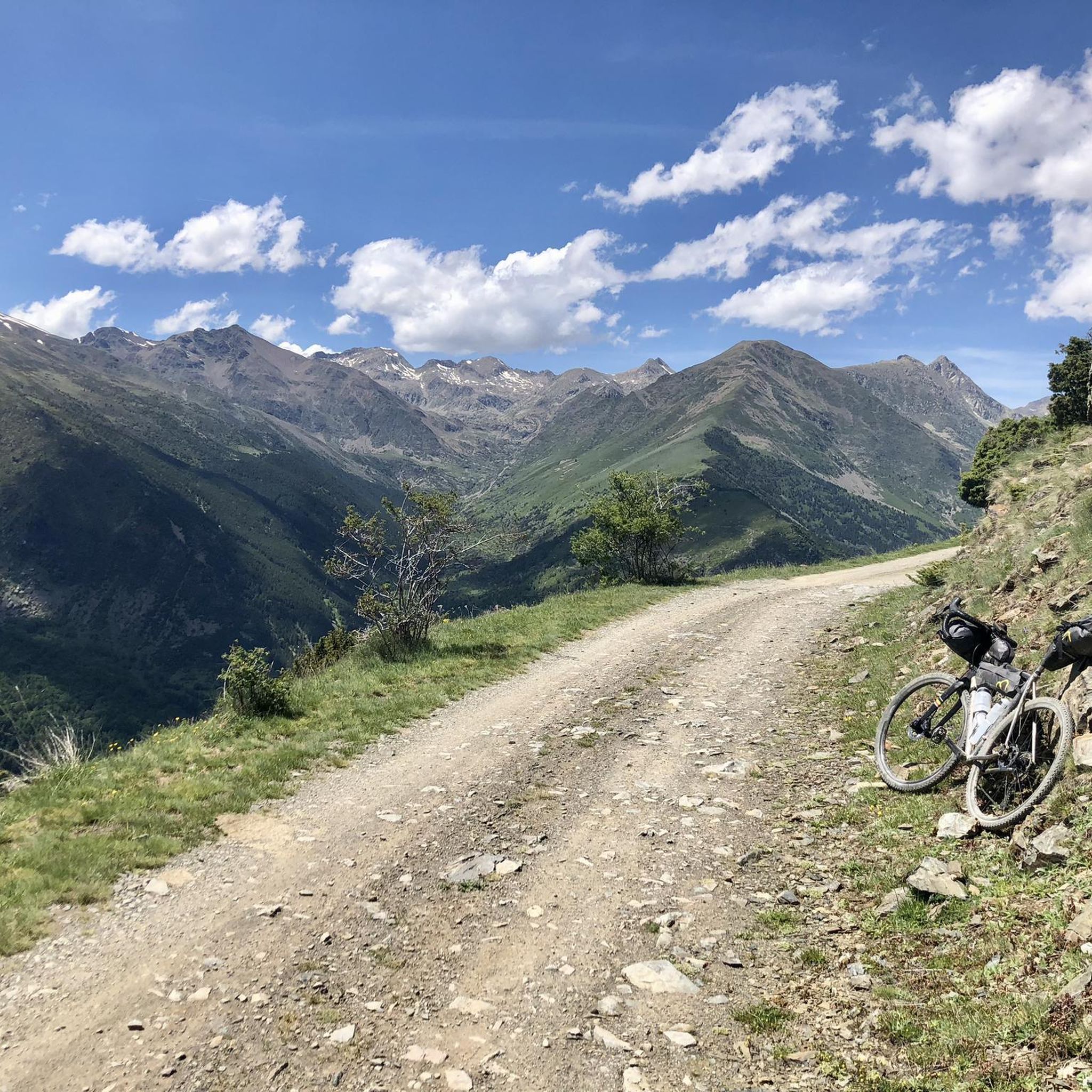
Mountain Hikes around Iselsberg-Stronach

Gravel biking around Iselsberg-Stronach
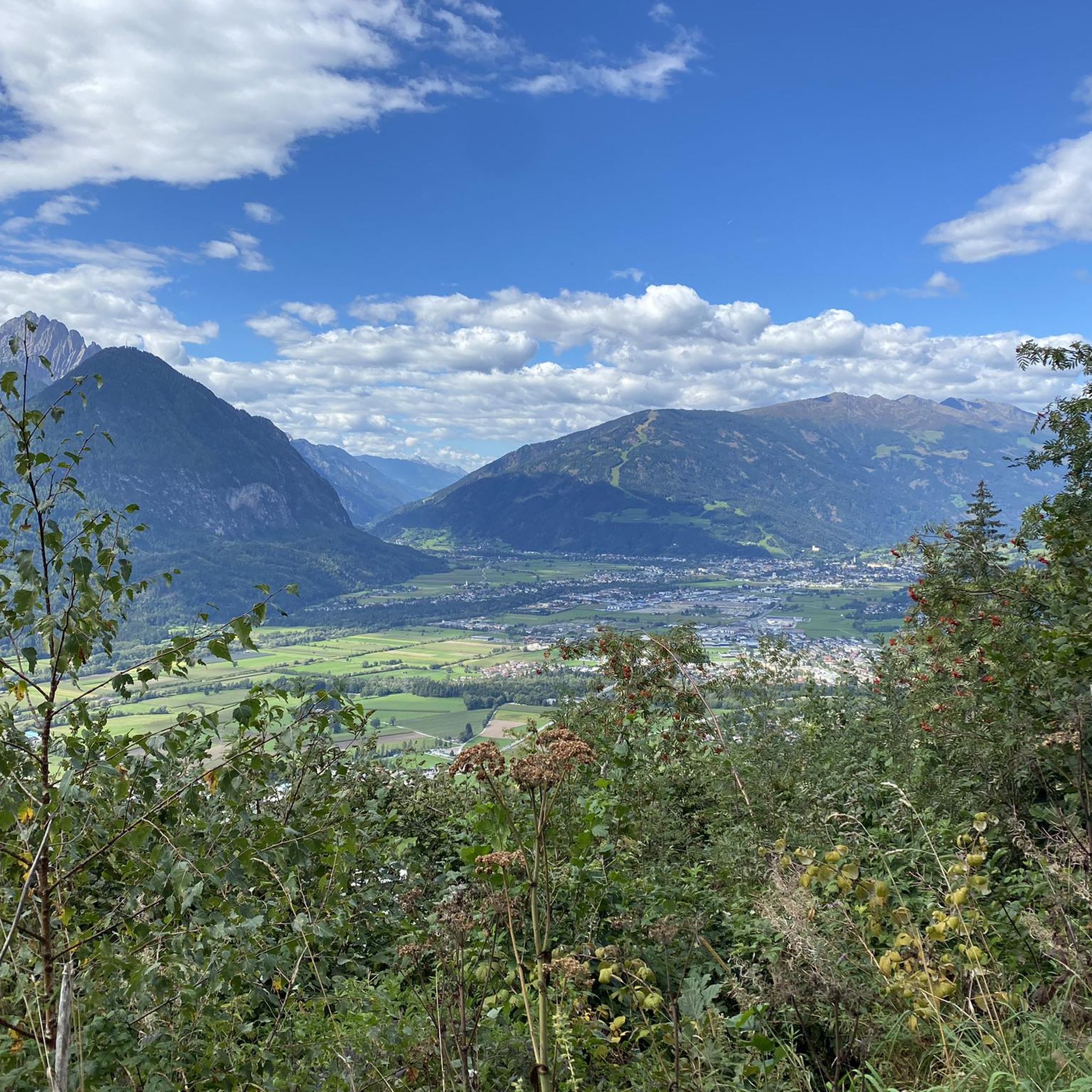
Running Trails around Iselsberg-Stronach
Other adventures around Iselsberg-Stronach


Tips from the Community

Via ferrata set: If you have it with you, definitely safer than without.. The Hornscharte is a 2,958-meter-high mountain pass in the Schober group of the Hohe Tauern in Carinthia, Austria. It forms the challenging key section of the Wiener Höhenweg and connects the Adolf-Noßberger-Hütte with the Elberfelder Hütte as an alpine trail. Considered technically and physically demanding. Protection: Secured with steel ropes in the upper, exposed section (via ferrata difficulty A/B). Terrain: Steep ascent through a north-facing cirque with loose scree, debris, and boulders. View: First view of the Großglockner from the notch. Note: Sure-footedness, a head for heights, and alpine experience are absolutely essential. The risk increases significantly if there is snow or ice on the ropes.
0
0
The Hornscharte is a 2,958-meter-high mountain pass in the Schober group of the Hohe Tauern in Carinthia, Austria. It forms the challenging key section of the Wiener Höhenweg and, as an alpine trail, connects the Adolf-Noßberger-Hütte with the Elberfelder Hütte. Considered technically and physically demanding. Protection: Secured with steel cables in the upper, exposed section (via ferrata difficulty A/B). Terrain: Steep ascent through a north-facing cirque with loose scree, rubble, and boulders. View: First view of the Großglockner from the saddle. Note: Sure-footedness, a head for heights, and alpine experience are essential. The risk increases significantly in case of snow or ice on the cables. Via ferrata set: If you have it with you, definitely safer than without..
1
0

scenically beautiful transition from the Karlsbader Hütte to the Kerschbaumer Alm
0
0


Very nice cycle path with good asphalt and a great panorama.
0
0

Mountain tour (high tour) from Seichenbrunn over the Untere Seescharte to the Wangenitzseehütte and onto the Petzeck To the Wangenitzseehütte (896 m in altitude/5.2 km; 2.5-3 hours): From the car park, briefly walk along the road into the valley, after the first pasture fence turn right over the Debantbach, after a few meters follow the sign to the right for Wangenitzseehütte No. 939 up an alpine meadow to the edge of the forest. There you hike for a while along a cart track through a sparse forest. Soon the signposted mountain path branches off to the left, follow this up through sparse terrain, cross below the material cable car and reach the wide alpine pastures of the Gaimberger Feld, with the small Halterhütte in the fenced area. Climb up over a step in the terrain until you join the crossing Zinkeweg, which leads from the Lienzer Hütte. To the right, crossing steep slopes, finally in tight serpentines, steeply uphill to the Untere Seescharte (2529 m). A few meters downhill, then between the Kreuzsee and Wangenitzsee, over to the Wangenitzseehütte (2508 m), which is located on a ridge high above the Wangenitzsee. To the Petzeck (817 m/3.4 km; 3 hours): Behind the hut, follow the sign for Petzeck no. 927, leave the Kruckelkopf turnoff on the left and traverse in an easterly direction, partly briefly downhill and over secured passages, around the rocky foothills of the Kruckelkopf, into a hollow below the Kruckelkar. To the right, out onto a clearly defined ridge and up along it. Before the Kruckelkar, turn left around a pronounced rocky peak, continue on a flatter path for a short time and then to the right of the Kruckelkar, diagonally over rubble and debris up to a ledge. Now over steep, rocky terrain along a ramp with easy scrambling to a shoulder of terrain, where a small cirque opens up. On the right edge, climb up over scree to a flat area, where you also see the summit goal for the first time. Follow the numerous stone almonds, up in a northerly direction, diagonally down into a wide hollow and over a snowfield (remnant of glacier) to the broad summit structure. Follow the markings in several serpentines on the broad southern ridge, easily up over rugged terrain to the summit of the Petzeck (3283 m). Descent: Along the ascent route with short counter-climbs back to the hut and up to the Untere Seescharte.
3
0

After a drive on the Großglockner High Alpine Road, this pass was rather unspectacular. Relatively heavy traffic on the B107, so I would rather recommend the old Iselsbergstraße uphill.
7
1

First test on the Glocknerstrasse if you come from the south. »The 1209 m above sea level A. ... high Iselsberg - also called Iselsbergpass - is a mountain pass in Austria. The Großglockner Straße (B 107) leads over the top of the pass, connecting the Lienz valley floor in the East Tyrolean Drautal with the Carinthian Mölltal. In order to reach the mines of the Mölltal, there was already a way over the Iselsberg in Roman times. « via https://de.wikipedia.org/wiki/Iselsberg_(Pass)
0
0
Frequently Asked Questions
What are some accessible mountain peaks or hiking destinations directly in Iselsberg-Stronach?
Directly within the municipality, you can explore the Iselsberg itself, offering pleasant hikes and magnificent views of the surrounding East Tyrolean mountains. Another option is Stronachkogel, known for its easy and scenic viewpoint, often passing the natural biotope of Zwischenberger Lacke. The Ederplan is also recognized as a local mountain, providing incredible and expansive views without extreme difficulty.
Are there family-friendly mountain trails around Iselsberg-Stronach?
Yes, the Ederplan is considered family-friendly and offers rewarding panoramas. Its relatively short and easy hike makes it suitable for families looking for great views. Additionally, many of the trails on the Iselsberg itself are gentle and enjoyable for all ages.
What kind of hiking opportunities do the surrounding mountain ranges offer?
Iselsberg-Stronach is an excellent base for exploring several majestic ranges. The Lienz Dolomites offer spectacular rock formations and challenging mountaineering, including a panoramic via ferrata on Großer Sandspitze. The Schober Group, part of the Hohe Tauern National Park, provides a wilder, high-alpine experience with opportunities for challenging summit ascents and multi-day treks. The Kreuzeck Group is ideal for those seeking less crowded trails, offering stunning views, pristine mountain lakes, and rustic huts along routes like the Kreuzeck High Trail.
What are the best viewpoints in the Iselsberg-Stronach area?
For expansive views, the Ederplan offers a super panoramic view from the Dolomites to the Schober Group. The Kerschbaumer Pass provides breathtaking views of the Lienz Dolomites and the glaciated peaks of the Hohe Tauern. From Iselsberg Pass, you can enjoy magnificent views of Lienz and the surrounding East Tyrolean mountains. Many trails also offer views of the Großglockner, Austria's highest mountain.
Are there challenging or advanced hiking routes for experienced mountaineers?
Absolutely. For experienced mountaineers, the Schober Group offers high-alpine experiences and challenging summit ascents, including the Petzeck, the highest mountain in the group. The Lienz Dolomites feature the ascent of Großer Sandspitze via a panoramic via ferrata, and the Glödis Via Ferrata is another challenging option at around 3000m altitude, requiring a head for heights.
What is the best time of year to visit the mountain peaks around Iselsberg-Stronach?
The region's climate, with usually warmer winter slopes and mitigated summer heat due to constant winds, makes it appealing year-round. Summer and early autumn are ideal for hiking and mountaineering. In winter, the area is suitable for snowshoeing and ski tours, with the warmer winter slopes enhancing the experience.
Can I find routes for other outdoor activities besides hiking near Iselsberg-Stronach?
Yes, beyond hiking, the area around Iselsberg-Stronach offers diverse outdoor activities. You can find numerous routes for mountain biking, including tours like the 'Iselsberg Pass – Mautturm Winklern loop'. There are also excellent options for cycling, such as the 'Drau Bridge – Möll Cycle Path loop'. For more details, explore the MTB Trails around Iselsberg-Stronach and Cycling around Iselsberg-Stronach guides.
Are there any specific mountain passes worth exploring in the region?
Yes, two notable mountain passes are the Iselsberg Pass and the Kerschbaumer Pass. The Iselsberg Pass is a well-known excursion destination offering pleasant hikes and views of Lienz. The Kerschbaumer Pass provides a scenically beautiful transition from the Karlsbader Hütte to the Kerschbaumer Alm, with breathtaking views of the Lienz Dolomites and Hohe Tauern.
What are some highlights for mountaineering in the Hohe Tauern National Park near Iselsberg-Stronach?
Within the Hohe Tauern National Park, the Schober Group is a prime area for mountaineering. The Petzeck, the highest mountain in the Schober Group, offers an imposing peak with magnificent views. The Elberfelder Hütte (2,346m) serves as an ideal starting point for numerous summit ascents and is part of the Wiener Höhenweg, providing a true high-alpine experience.
Are there any less crowded or 'hidden gem' trails in the area?
The Kreuzeck Group, flanking Iselsberg-Stronach, is described as a 'little frequented gem'. Its Kreuzeck High Trail offers consistent great views and crystal-clear mountain lakes, making it ideal for those seeking pristine nature and less crowded paths.
What natural features can I expect to see on mountain trails around Iselsberg-Stronach?
You can expect to encounter diverse natural features. Trails often lead past natural biotopes like the Zwischenberger Lacke near Stronachkogel. The surrounding ranges boast dramatic rock formations in the Lienz Dolomites, pristine mountain lakes in the Kreuzeck Group, and high-alpine landscapes within the Hohe Tauern National Park, home to the Schober Group. You might also spot various wildlife in these natural habitats.
Most popular routes around Iselsberg-Stronach
Most popular attractions around Iselsberg-Stronach

Get inspired with the komoot mobile app


Explore more
See even more amazing summits around Iselsberg-Stronach with these guides:
