The best running trails around okres Žilina
4.5
(37)
1,455
runners
81
runs
Jogging routes around okres Žilina traverse a diverse landscape within the Western Carpathians, characterized by extensive mountain ranges and dense forests. The region features prominent ranges such as the Javorníky, Lesser Fatra, and Greater Fatra, offering varied terrains from gentle paths to challenging trails with significant elevation gains. River valleys, including those of the Váh, Turiec, and Orava, provide flatter running options, contrasting with the mountainous areas. This combination of natural features creates a dynamic environment for running and exploring.
…Last updated: July 15, 2026
5.0
(2)
179
runners
8.95km
00:56
40m
40m
Moderate run. Good fitness required. Mostly paved surfaces. Suitable for all skill levels.
5.0
(2)
176
runners
8.47km
00:53
40m
30m
Moderate run. Good fitness required. Mostly paved surfaces. Suitable for all skill levels.

Sign up for free
4.2
(5)
114
runners
11.2km
01:11
80m
80m
Moderate run. Good fitness required. Mostly paved surfaces. Suitable for all skill levels.
64
runners
19.6km
02:40
810m
810m
Hard run. Very good fitness required. Mostly paved surfaces. Suitable for all skill levels.
46
runners
20.0km
02:05
70m
70m
Hard run. Very good fitness required. Mostly paved surfaces. Suitable for all skill levels.
4.0
(1)
42
runners
22.9km
02:24
100m
100m
Hard run. Very good fitness required. Mostly paved surfaces. Suitable for all skill levels.
5.0
(1)
35
runners
17.5km
01:50
60m
60m
Hard run. Very good fitness required. Mostly paved surfaces. Suitable for all skill levels.
4.5
(2)
36
runners
25.0km
03:39
1,320m
1,320m
Hard run. Very good fitness required. Mostly accessible paths. Some sure footedness required.
24
runners
18.5km
03:00
1,110m
1,110m
Hard run. Very good fitness required. Mostly accessible paths. Some sure footedness required.
5.0
(6)
21
runners
12.1km
01:46
700m
700m
Hard run. Very good fitness required. Mostly accessible paths. Some sure footedness required.
Get access to more routes and recommendations from other explorers.
Sign up for free
Already have an account?
Our route recommendations are based on thousands of hikes, rides, and runs completed by other people on komoot.
Start today with a free account
Your next adventure awaits.
Login or Signup
Popular around okres Žilina
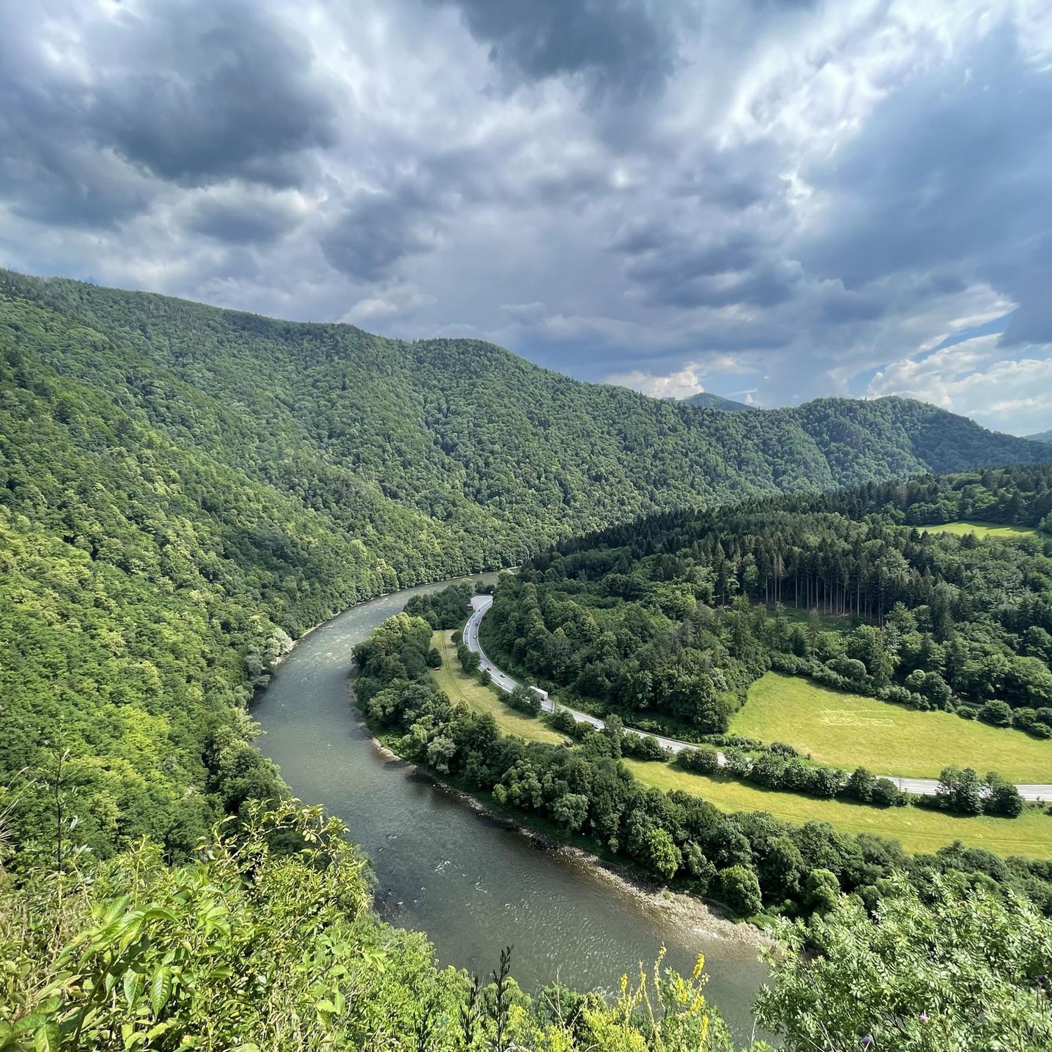
Running Trails in Malá Fatra
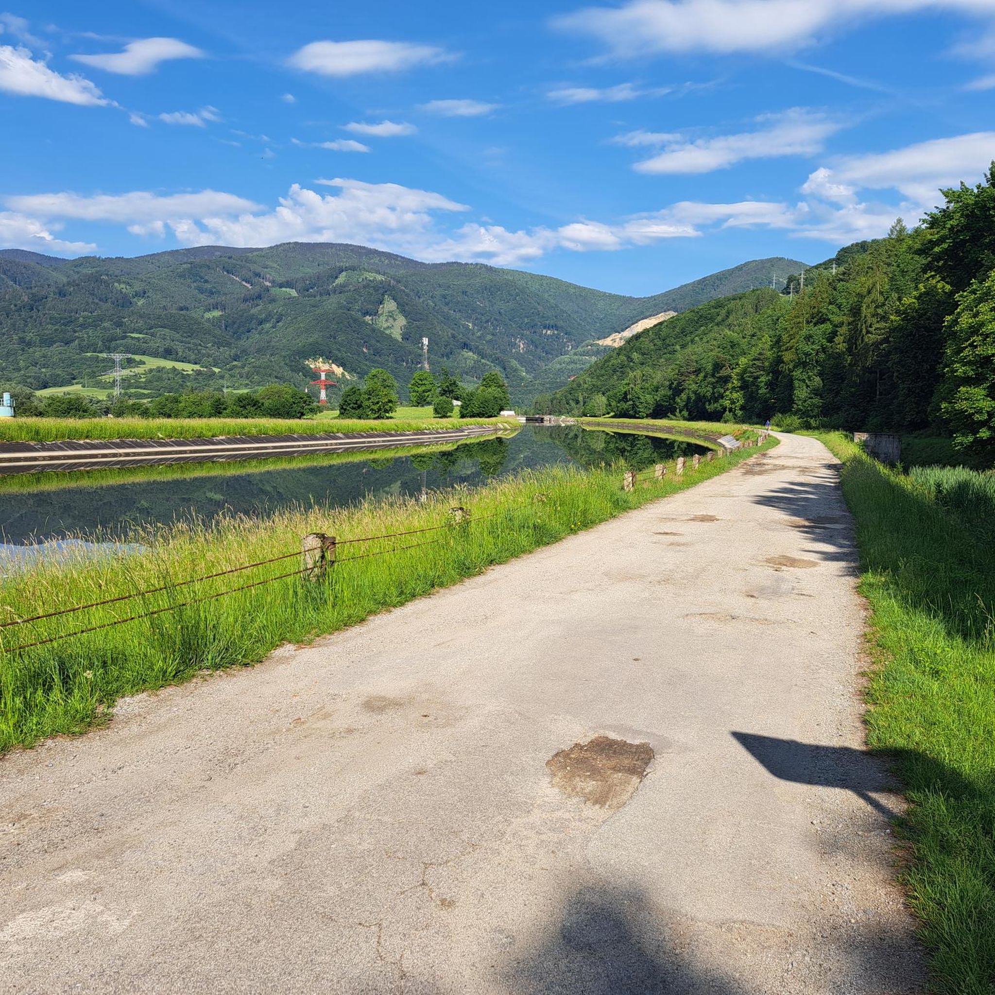
Running Trails in Malá Fatra - Op
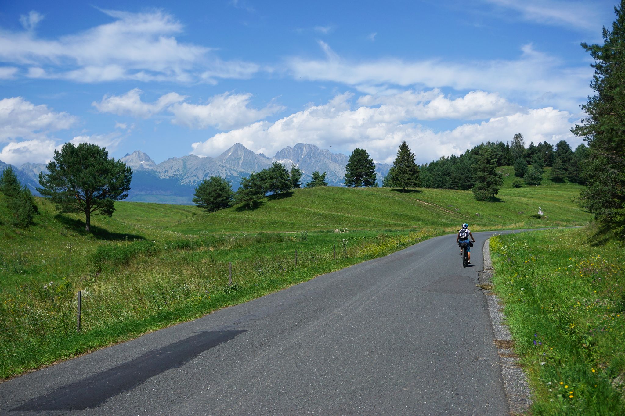
From Vienna to Košice – a bikepacking adventure in Slovakia
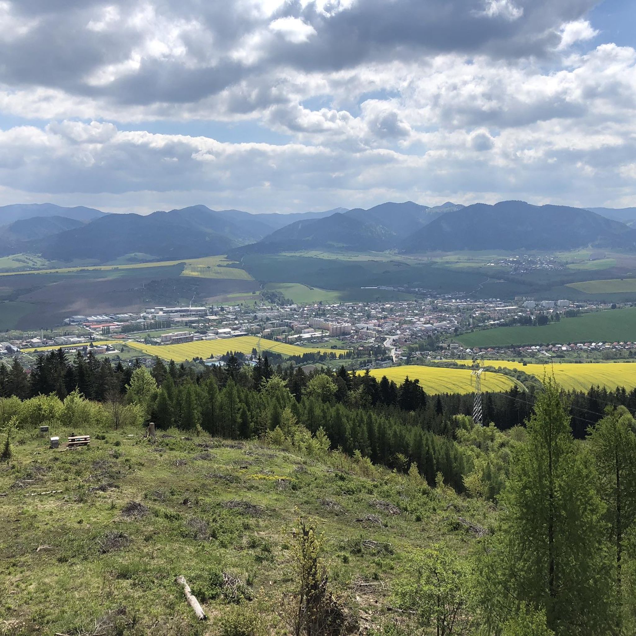
Hiking around okres Žilina
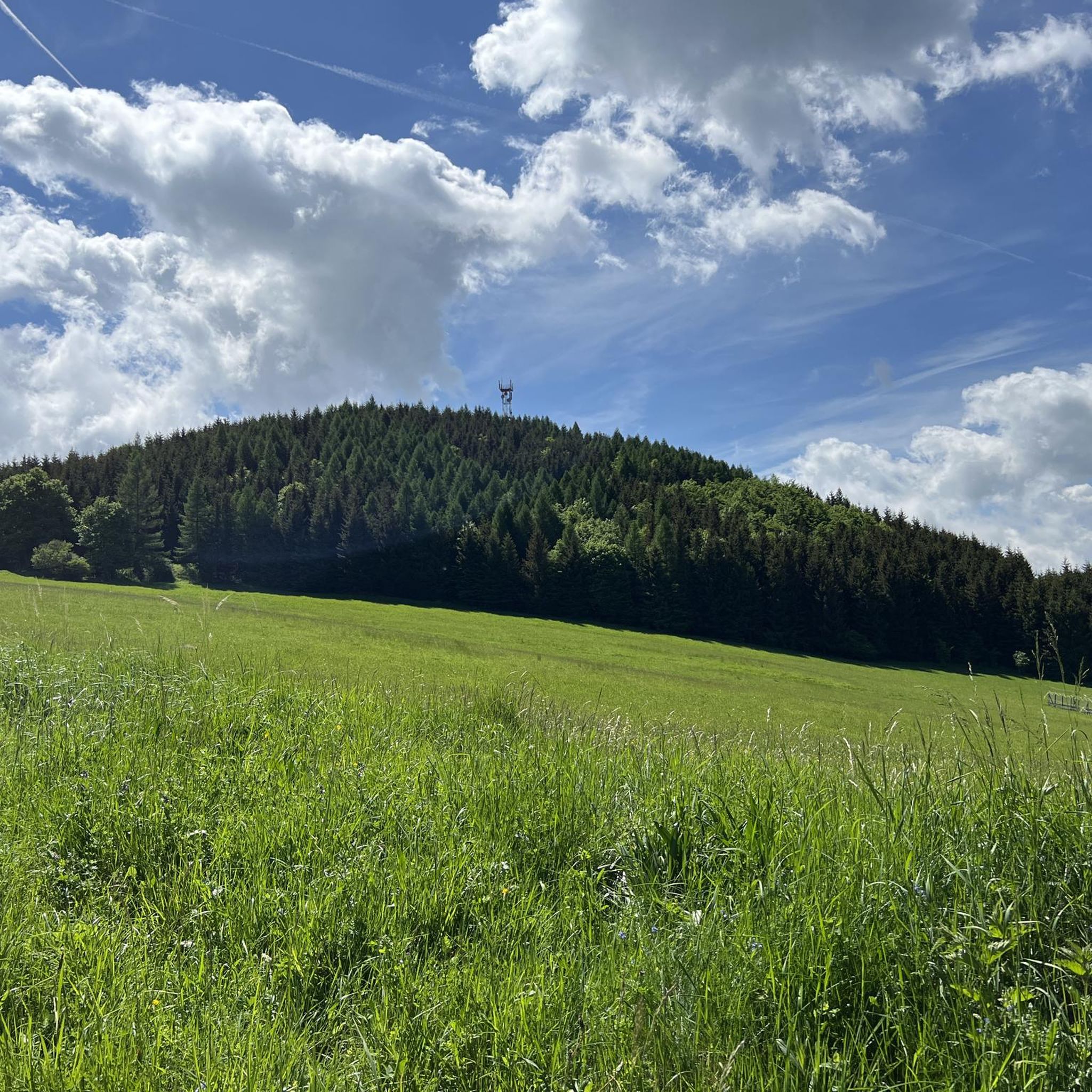
Cycling around okres Žilina
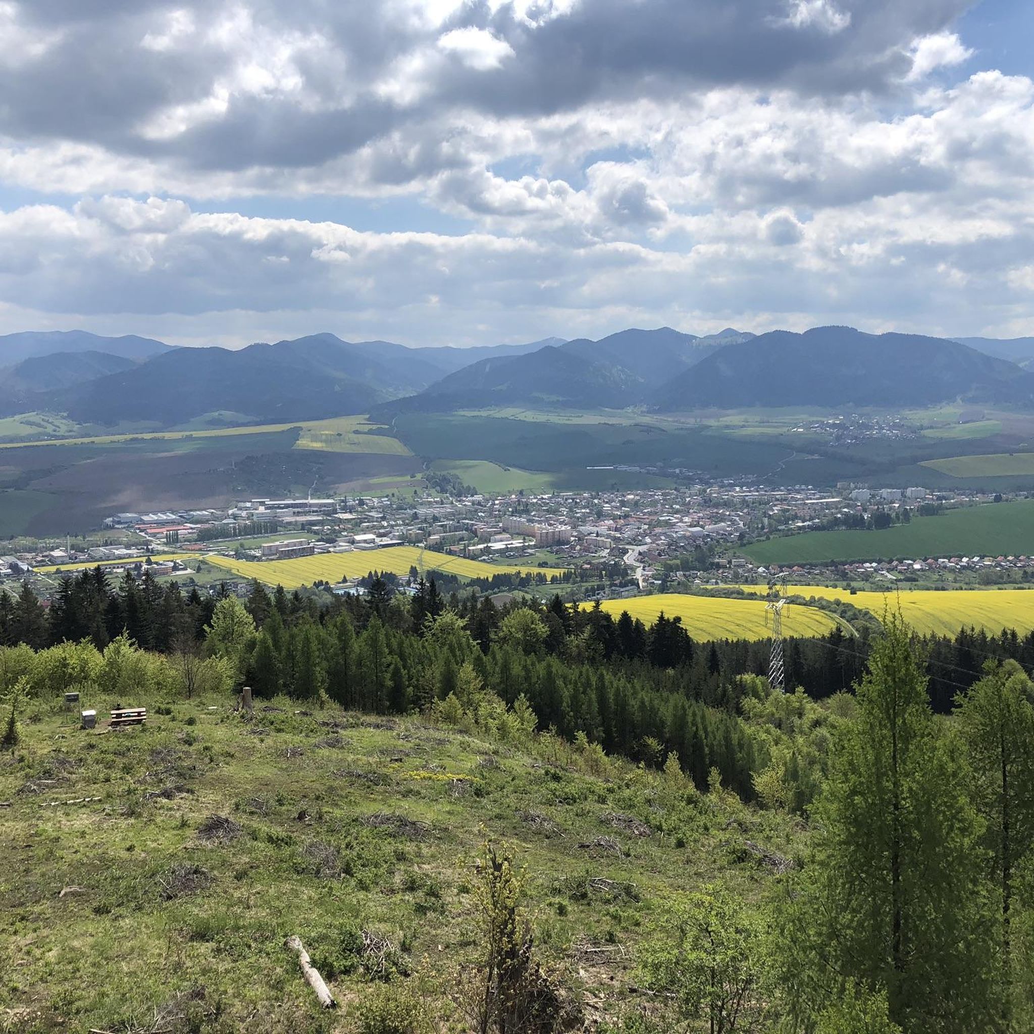
Road Cycling Routes around okres Žilina
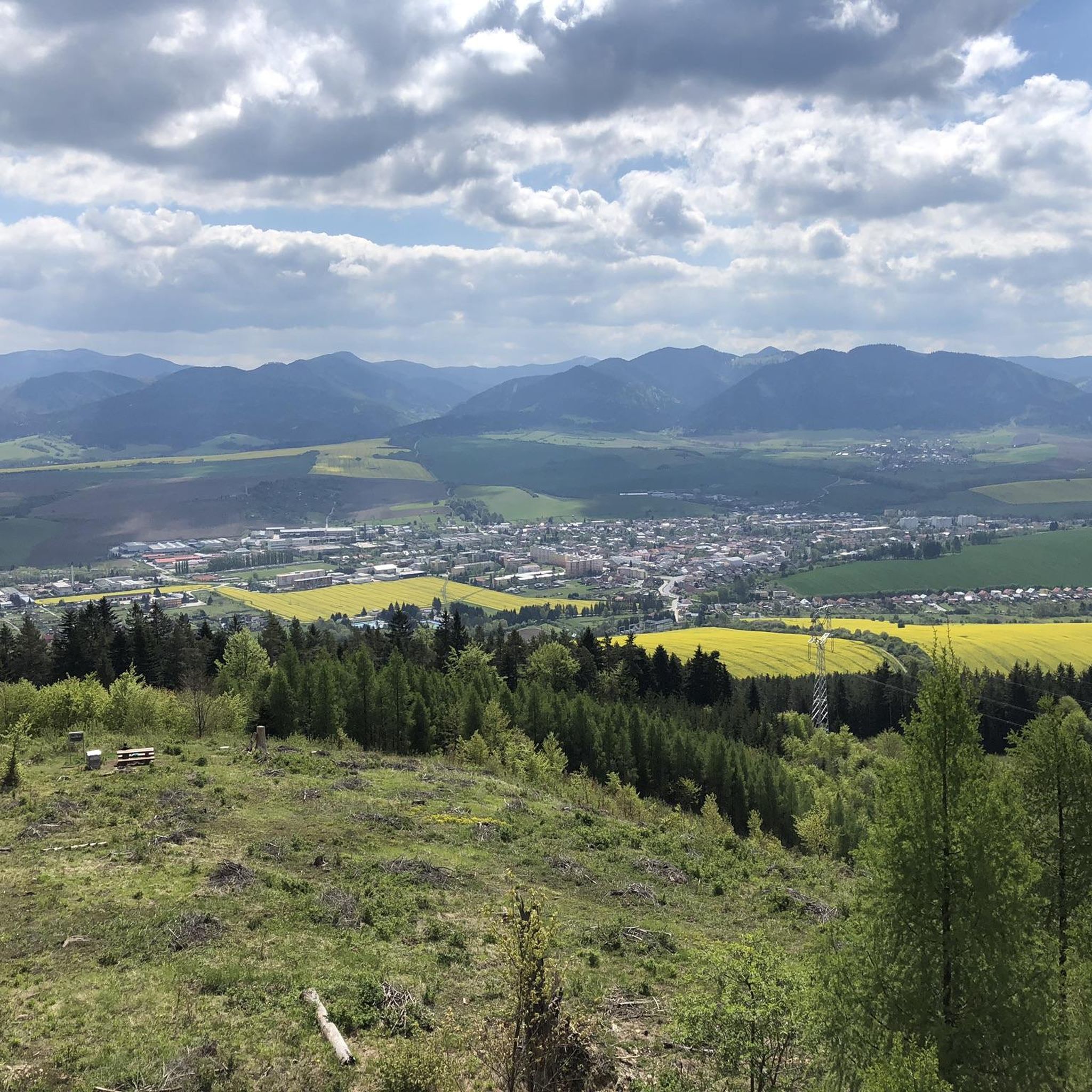
MTB Trails around okres Žilina
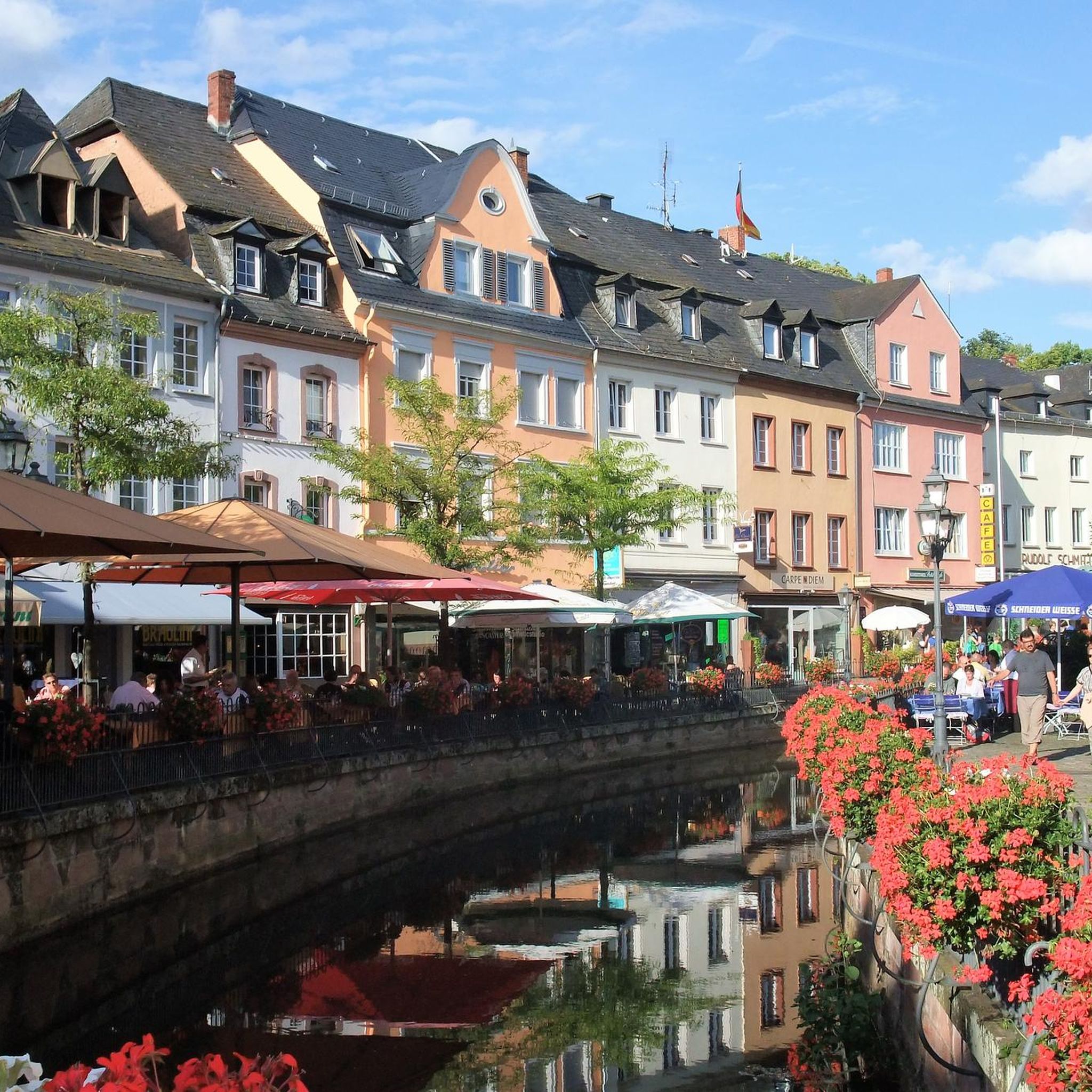
Mountain Hikes around okres Žilina
Gravel biking around okres Žilina
Other adventures around okres Žilina

Tips from the Community

The station forms a closed architectural ensemble with the adjacent post office and other buildings
0
0

As of May 2025: the station is a huge construction site.
3
0

Historical building - like an old castle and still not restored.
0
0
You should go there when the museum is open and walk through the entire castle.
0
0

There is a beautiful view of the castle from the bridge.
0
0

Žilina railway station (formerly Zsolna pályaudvar) is the main railway station in Žilina and an important railway junction within Slovakia. It is located northeast of the historic city center. It is the terminus of electrified lines no. 120 from Bratislava, 180 from Košice and 127 from Čadka and non-electrified line no. 126 from Rajec, thanks to which it has a direct connection with the Czech Republic and Poland. It lies on the branch of the pan-European transport corridor V from Bratislava to Uzhgorod, and the pan-European transport corridor VI from Gdansk ends in it. The history of the original building of the railway station in Žilina is closely related to the construction of the Košice-Bohumín Railway, which was built by the Anglo-Austrian Bank in 1867-1872. The actual work around the city did not begin until the end of spring 1870, but half a year later - on December 20, 1870 at eleven o'clock - the first train arrived in Žilina along the completed line. The railway was built from Český Těšín, and on January 8, 1871, regular connections to Žilina began to run from there. The station was completed and opened this year, and its importance grew with the opening of new sections in the eastern direction. The entire Košice-Bohumín railway was completed on March 18, 1872, but at that time the north-south connection of the line with Budapest via Zvolen and Vrútky was also completed. At that time, Žilina was a small town with approximately 3,000 inhabitants and negligible economic importance. However, this changed in 1883 after the completion of the Považ Railway, which initially ended at Nová Žilina station. After the connection of both lines, the Žilina station became a hub station with great strategic importance, and its traffic volume grew rapidly. In 1899, with the opening of the local Rajecka Railway, the transport importance of the station, which had connections to the tracks from all transport-important directions, increased even more. In the years 1939 – 1942, a new administrative and exhibition building was built on the site of the old exhibition building according to the design of architects František Eduard Bednárik and Ferdinand Čapka. A typical example of their architecture is covering the main entrance with an awning supported by pillars. https://sk.wikipedia.org/wiki/%C5%BDelezni%C4%8Dn%C3%A1_stanica_%C5%BDilina https://www.youtube.com/watch?v=hN6oZyegEvg
2
0

You can't get directly up to the castle by bike, but it is worthwhile to park your bike and hike up. From above you have a great view over the Waagtal. There are also some bars and takeaways all around.
3
0

Very nice atmosphere from old times
4
1
Frequently Asked Questions
What kind of terrain can I expect on running routes in okres Žilina?
The running routes in okres Žilina offer a diverse range of terrain. You'll find everything from mostly paved loops along river valleys, such as those near the Váh river, to challenging mountain trails with significant elevation gains in ranges like the Lesser Fatra and Greater Fatra. The region is characterized by extensive forests and picturesque landscapes, providing varied surfaces for all types of runners.
Are there running routes suitable for beginners or those seeking an easy jog?
Yes, okres Žilina offers several easy running routes. For instance, the Vodné dielo Žilina loop from Mojš is a moderate 5.5-mile (8.9 km) trail that is mostly paved and suitable for various skill levels. There are a total of 4 easy routes available, providing gentler options for a relaxed run.
Where can I find challenging running trails with significant elevation gain?
For runners seeking a challenge, okres Žilina has 28 difficult routes with substantial elevation changes. A notable example is the Kečka – Brada loop from Podhorie, a 12.1-mile (19.5 km) trail with nearly 800 meters of ascent, leading through mountainous terrain. Other demanding options include the Úplaz – Minčol loop from Nezbudská Lúčka-Strečno, which features over 1300 meters of elevation gain.
What natural features or scenic views can I enjoy while running in okres Žilina?
Runners in okres Žilina can enjoy breathtaking natural beauty. The region is part of the Western Carpathians, offering stunning mountain views from ranges like the Javorníky, Lesser Fatra, and Greater Fatra. You can also explore protected areas such as the National Park of Malá Fatra, known for its dramatic gorges like Horné Diery (Upper Holes) Via Ferrata and the Tiesňavy Gorge and Sokolie Rock Formations. Many routes also follow river valleys, providing serene riverside scenery.
Are there any historical landmarks or cultural attractions near the running trails?
Yes, okres Žilina is rich in historical and cultural sites. The region boasts numerous castles, many situated on hills, which can offer scenic and challenging running paths. Examples include the castles of Strečno, Starý hrad, Lietava, Hričovský hrad, and Súľovský hrad. The Budatín Castle loop from Žilina-Solinky is one route that takes you near a significant historical landmark.
What do other runners enjoy the most about jogging in okres Žilina?
The running routes in okres Žilina are highly rated by the komoot community, with an average score of 4.2 stars from over 10 reviews. Runners often praise the diverse terrain, from gentle riverside paths to challenging mountain trails, and the stunning natural beauty of the Western Carpathians. The variety ensures options for all fitness levels, making it a popular destination for outdoor enthusiasts.
Are there any circular running routes available in okres Žilina?
Yes, many running routes in okres Žilina are designed as loops, offering convenient circular paths. For example, the Vodné dielo Žilina loop from Teplička nad Váhom is a popular circular route. Another option is the Chata pod Suchým loop from Domašínsky meander, which provides a more challenging circular experience.
Can I find running routes that are suitable for families?
While specific 'family-friendly' routes are not explicitly categorized, the easier and moderate routes, particularly those along the river valleys with mostly paved surfaces, would be suitable for families. These routes often have less elevation gain and are generally more accessible. Look for routes described as 'easy' or 'moderate' for a family outing.
Are there any running routes that offer views of prominent mountain peaks?
Absolutely. Given that okres Žilina is part of the Western Carpathians, many routes offer spectacular views of mountain peaks. The region includes significant summits like Malý Rozsutec (1,344 m) and Veľký Kriváň. Routes in the Malá Fatra National Park, for instance, will provide ample opportunities to enjoy these majestic landscapes.
How many running routes are available in okres Žilina?
There are over 80 running routes available in okres Žilina, catering to a wide range of preferences and fitness levels. This includes 4 easy routes, 51 moderate routes, and 28 difficult routes, ensuring there's something for every runner.
Are there any long-distance running trails in the region?
Yes, for those looking for longer runs, okres Žilina offers several extensive trails. The Vodné dielo Žilina loop from Vlčince is a difficult route spanning over 23 kilometers. Another challenging long-distance option is the Plešel – Suchý loop from Nezbudská Lúčka-Strečno, which covers over 18.5 kilometers with significant elevation.
What is the best time of year to go running in okres Žilina?
The best time to go running in okres Žilina largely depends on your preference for terrain and weather. Spring and autumn offer pleasant temperatures and vibrant scenery, ideal for exploring both valley and mountain trails. Summer is great for higher altitude routes, though some lower trails might be warmer. Winter running is possible, especially on lower, less technical paths, but higher mountain trails may require specialized gear due to snow and ice.
Most popular routes around okres Žilina
Most popular attractions around okres Žilina

Get inspired with the komoot mobile app


Didn’t find what you were looking for?
Check out more Running Trails & Routes throughout okres Žilina below and find the perfect route in your destination.
Explore more
Browse the best Running Trails & Routes in other regions.
