The best mountain hikes around Tvrdošín
4.9
(109)
871
hikers
14
hikes
Mountaineering around Tvrdošín is defined by the rugged terrain of the Western Tatras, particularly the Roháče mountains, which feature prominent peaks and glacial lakes. The region offers significant elevation gains, challenging ascents, and panoramic views across the Orava region. These mountaineering routes often traverse alpine meadows, rocky ridges, and high mountain passes.
Best mountaineering routes around Tvrdošín
- The most popular mountaineering route is Spálená Peak – Tatliakovo Lake loop from Roháče, a 11.7 miles (18.8 km) trail that takes…
Last updated: July 15, 2026
25
hikers
18.7km
09:30
1,450m
1,450m
Hard mountaineering route. Very good fitness required. Sure-footedness, sturdy shoes and alpine experience required.
5.0
(3)
22
hikers
8.66km
03:48
800m
800m
Hard mountaineering route. Good fitness required. Sure-footedness, sturdy shoes and alpine experience required.

Sign up for free
5.0
(1)
22
hikers
16.6km
07:35
1,160m
1,160m
Hard mountaineering route. Very good fitness required. Sure-footedness, sturdy shoes and alpine experience required.
4.5
(4)
15
hikers
16.5km
07:03
1,020m
1,020m
Hard mountaineering route. Very good fitness required. Mostly accessible paths. Sure-footedness required.
5.0
(4)
11
hikers
11.1km
06:25
1,060m
1,060m
Hard mountaineering route. Very good fitness required. Sure-footedness, sturdy shoes and alpine experience required.
5.0
(2)
10
hikers
8.33km
02:39
330m
330m
Moderate mountaineering route. Good fitness required. Mostly accessible paths. Sure-footedness required.
5.0
(1)
8
hikers
9.92km
02:49
210m
210m
Moderate mountaineering route. Good fitness required. Easily-accessible paths. Suitable for all skill levels.
5.0
(1)
5
hikers
8.19km
03:35
540m
540m
Moderate mountaineering route. Good fitness required. Mostly accessible paths. Sure-footedness required.
8
hikers
17.9km
08:04
1,230m
1,230m
Hard mountaineering route. Very good fitness required. Sure-footedness, sturdy shoes and alpine experience required.
6
hikers
9.91km
05:19
900m
890m
Hard mountaineering route. Very good fitness required. Sure-footedness, sturdy shoes and alpine experience required.
Get access to more routes and recommendations from other explorers.
Sign up for free
Already have an account?
Our route recommendations are based on thousands of hikes, rides, and runs completed by other people on komoot.
Start today with a free account
Your next adventure awaits.
Login or Signup
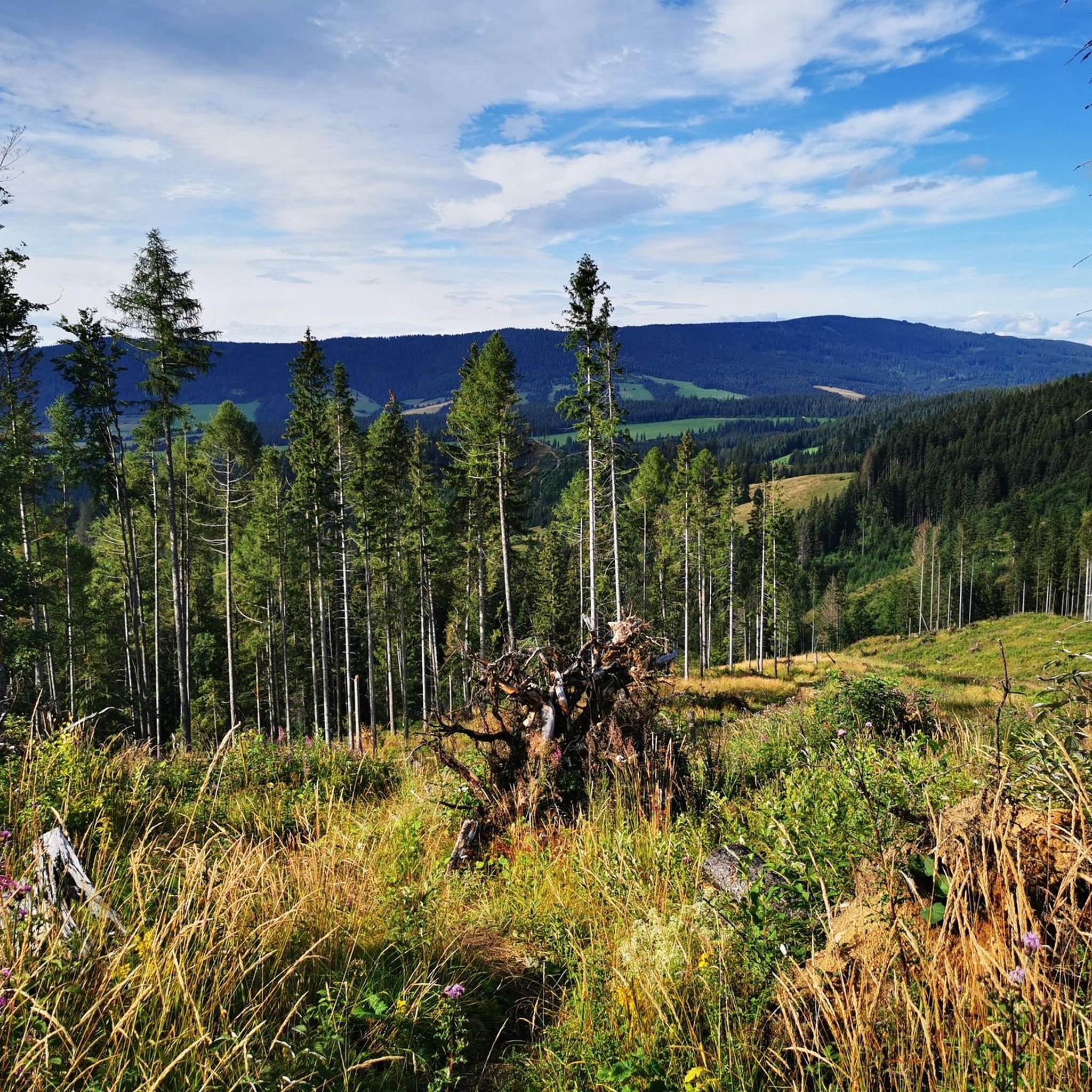
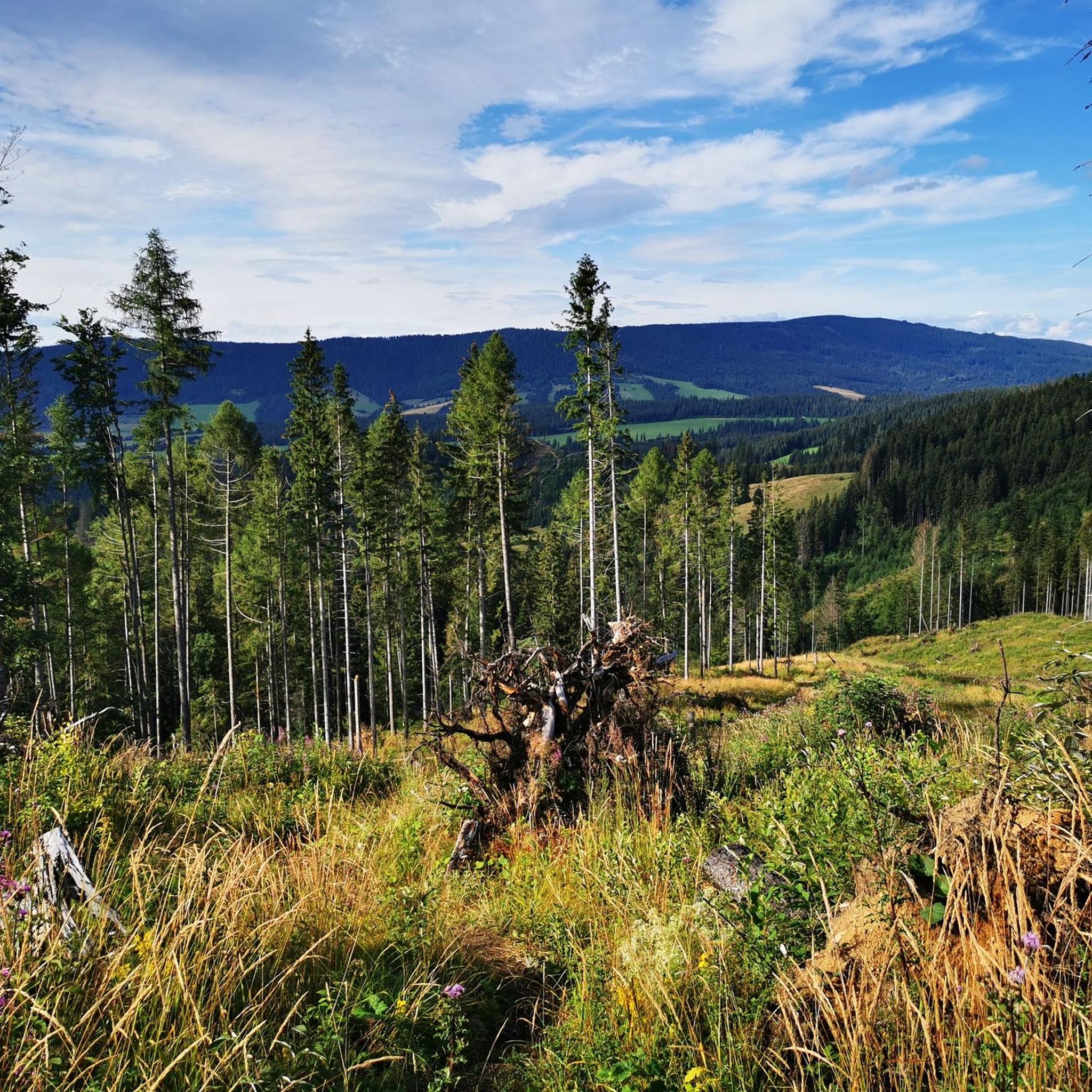
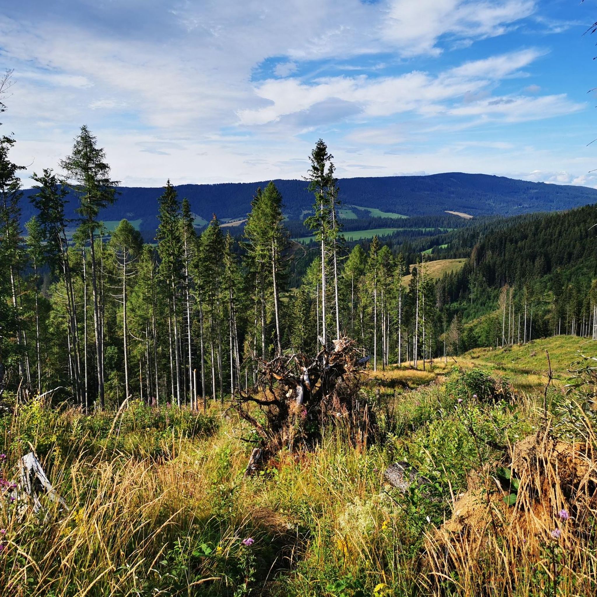
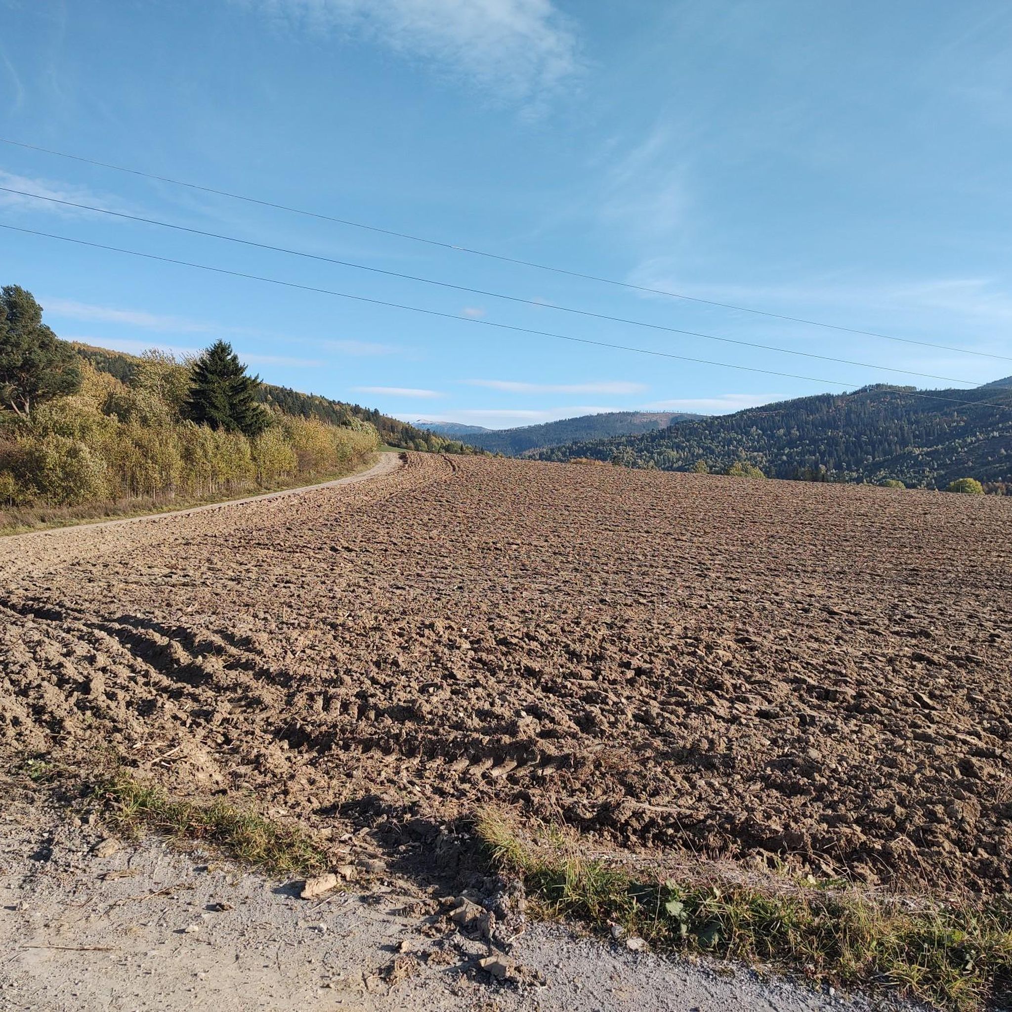
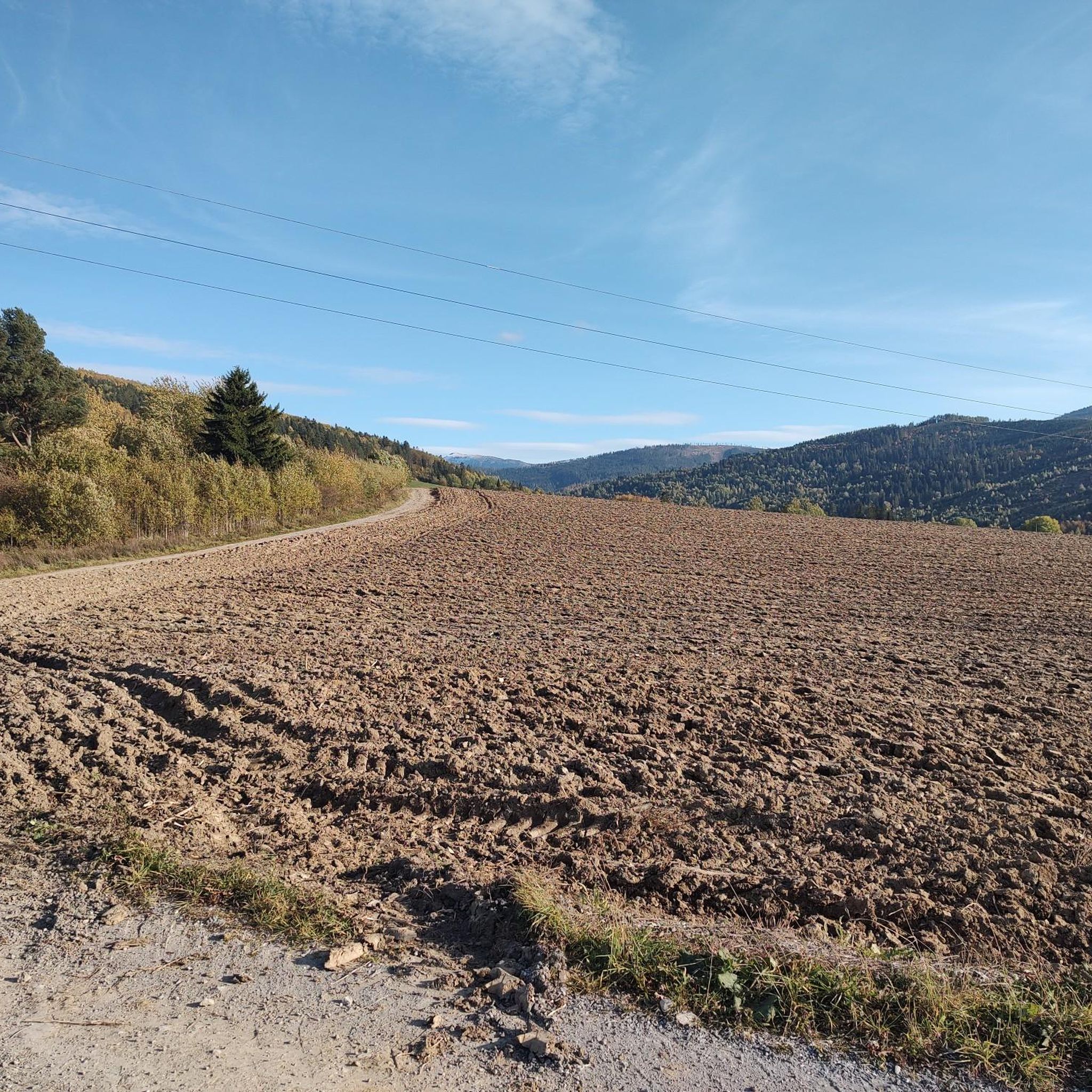
Tips from the Community

A classic of the Western Tatras. I love this peak—it's stunning in every season. Perfect for testing your fitness level in relatively safe high-altitude conditions.
0
0

I recommend the Western Tatras in winter and late autumn.
2
0
A very easy peak, but sometimes it can be impossible to climb due to conditions, especially in winter.
2
0

A pleasant hike to this peak and unforgettable views from it, I personally recommend the route through Grześ and Rakoń.
0
0

The peak between Grześ and Wołowiec. Good descent to Chochołowska Glade.
0
0
Great peak, but it has a few more meters in the description 😉 it is 2063m above sea level
0
0
Beautiful views of the Western Tatras on both the Polish and Slovak sides. The High Tatras are also visible in the distance.
0
0

The peak is not the first on the way from Grześ to Wołowiec. Nice view of Rohacze
0
0
Frequently Asked Questions
What is the general difficulty level of mountaineering routes around Tvrdošín?
Mountaineering around Tvrdošín, particularly in the Roháče mountains, is generally challenging. Out of 14 routes, 11 are classified as difficult, with significant elevation gains and rugged terrain. There are 3 moderate routes available for those seeking less strenuous options.
Are there any suitable mountaineering routes for beginners in the Tvrdošín area?
While most routes are difficult, beginners with some fitness can consider moderate options. For instance, the Tatliakovo Lake – Tatliakova Hut loop from Roháče is a moderate 8.2 km route that offers a taste of the mountain environment without extreme difficulty. It's always recommended to assess your fitness and experience before embarking on any mountain trail.
How long do mountaineering routes around Tvrdošín typically take?
The duration of routes varies significantly based on difficulty and distance. Difficult routes, such as the Spálená Peak – Tatliakovo Lake loop from Roháče, can take around 9 hours 30 minutes. Moderate routes, like the Butterfly Island – Orawica Thermal Baths loop from Oravice, might take about 2 hours 50 minutes. Always check the estimated duration for your chosen route and plan accordingly.
Can I find circular mountaineering routes around Tvrdošín?
Yes, many of the mountaineering routes in the Tvrdošín region are circular, allowing you to return to your starting point without retracing your steps. Examples include the Sivý Vrch Summit loop from Huty and the Smutné Sedlo – Tatliakovo Lake loop from Roháče, offering diverse scenic experiences.
What natural attractions can I see while mountaineering near Tvrdošín?
The region is rich in natural beauty. You can encounter prominent peaks like Wołowiec (2,064 m) and Rakoń Peak (1879 m). Many routes also pass by stunning glacial lakes, such as Tatliakovo Lake, and the impressive Roháčsky Waterfall.
Is parking available near the starting points of mountaineering routes?
In popular areas like Roháče and near Huty, designated parking areas are typically available at or close to the trailheads. It's advisable to arrive early during peak season to secure a spot, especially for longer routes.
Do I need any special permits for mountaineering in the Tvrdošín region?
Generally, no special permits are required for hiking on marked trails in the Western Tatras. However, always respect local regulations, especially concerning protected areas within national parks. Some areas might have seasonal restrictions or require adherence to specific rules for environmental protection.
Are mountaineering routes around Tvrdošín dog-friendly?
While many mountain trails in Slovakia allow dogs, specific regulations can vary within national parks and protected areas. It's crucial to check the current rules for the particular trail you plan to undertake, as some sensitive ecological zones might have restrictions. Dogs should always be kept on a leash.
What is the best time of year for mountaineering around Tvrdošín, and is winter mountaineering possible?
The best time for mountaineering is typically from late spring (June) to early autumn (September), when trails are clear of snow and weather conditions are more stable. Winter mountaineering is possible but requires significant experience, specialized equipment (crampons, ice axe), and knowledge of avalanche safety, as conditions can be severe and unpredictable.
What kind of wildlife might I encounter on the trails?
The Western Tatras are home to diverse wildlife. You might spot chamois and marmots in higher elevations. Forests at lower altitudes host deer, wild boar, and various bird species. Encounters with larger predators like bears or wolves are rare but possible; always maintain a respectful distance and do not disturb animals.
Are there any places to stop for refreshments or food along the routes?
Some popular trailheads or key points, especially near mountain huts (chata), may offer refreshments or simple meals. For example, Tatliakova Hut is a known stop. However, many routes are remote, so it's essential to carry sufficient water and snacks, especially on longer excursions.
How many mountaineering routes are available around Tvrdošín?
There are 14 mountaineering routes available around Tvrdošín, offering a range of experiences from moderate to difficult ascents in the rugged Western Tatras.
What do other mountaineers say about the routes in Tvrdošín?
The mountaineering routes around Tvrdošín are highly rated by the komoot community, with an average score of 4.9 stars from over 100 reviews. Reviewers often praise the challenging ascents, the stunning panoramic views, and the pristine nature of the Roháče mountains.
Most popular routes around Tvrdošín
Most popular attractions around Tvrdošín

Get inspired with the komoot mobile app


Explore more
Browse the best Mountain Hikes & Routes in other regions.
