The best road cycling routes around Vimieiro
4.5
(13)
401
riders
39
rides
Road cycling routes around Vimieiro, located in the Alentejo region of Portugal, traverse diverse landscapes characterized by mostly paved surfaces. The terrain features hilly cork forests and vineyards, with some routes offering minimal elevation gain suitable for all abilities. More challenging routes can include significant climbs, with some exceeding 1,500 feet of elevation, particularly towards areas like Serra d'Ossa. The region's architecture and natural features provide varied backdrops for road cyclists.
Best road cycling routes around Vimieiro
- The most popular…
Last updated: July 8, 2026
3.7
(3)
46
riders
51.4km
02:51
480m
480m
Moderate road ride. Good fitness required. Some segments of this route may be unpaved and difficult to ride.
4.0
(3)
47
riders
55.7km
03:06
640m
640m
Moderate road ride. Good fitness required. Some segments of this route may be unpaved and difficult to ride.

Sign up for free
26
riders
88.6km
04:18
1,150m
1,150m
Hard road ride. Very good fitness required. Some segments of this route may be unpaved and difficult to ride.
12
riders
135km
07:11
2,530m
2,530m
Hard road ride. Very good fitness required. Some segments of this route may be unpaved and difficult to ride.
9
riders
Moderate road ride. Good fitness required. Mostly well-paved surfaces and easy to ride.
Get access to more routes and recommendations from other explorers.
Sign up for free
Already have an account?
Our route recommendations are based on thousands of hikes, rides, and runs completed by other people on komoot.
Start today with a free account
Your next adventure awaits.
Login or Signup

Tips from the Community

Bar Restaurante Barba Azeda, is located in the old Parada de Gonta train station, right next to the Dão eco-track.
0
0

Tondela is located approximately halfway along the Ecopista, which runs for almost 50 km between Viseu and Santa Comba Dão. The section of the Ecopista that passes through the municipality of Tondela is characterized by green asphalt, distinguishing it from the other sections. The old Tondela station is a fascinating element of the Ecopista do Dão, a reminder of the region's railway history.
1
0
Former railway station on the Dão line, now converted into a cafe / restaurant right next to the ecopista.
3
0

Nice and hard alternative to climb the Tower from Seia
1
0
Very nice small river beach (unofficial). Access is via a dirt road (+- 100m) that leads directly to the Dão ecopista.
2
0
Unlike the vast majority of railway stations on the old Dão line, which are now part of the Ecopista do Dão attraction, Treixedo station has not been restored. There have already been several projects for its reuse, but for some reason they have not progressed.
2
0
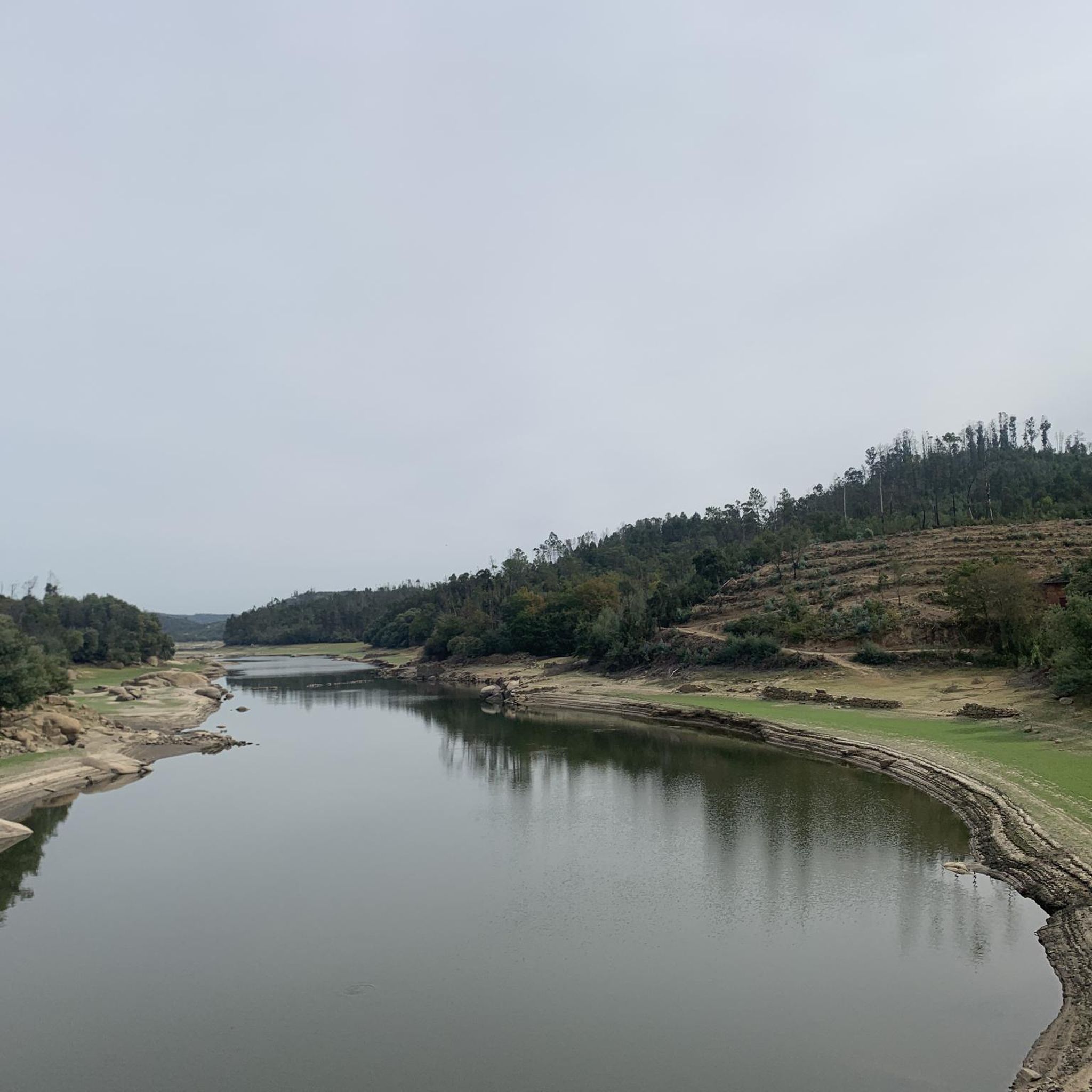
Formed in a curve of the river Dão, on one side it is made up of cliffs worked by the waters when they passed here rebellious and, on the other, by an area of water mirror.
1
0

The climb. Stands for Estrada Nacional N338, somewhere around km 14 and km 21. Between the roundabout after Loriga, you turn right and starts the party. Why it's so difficult? 1-Always VERY STEEP: consider 12%-14% climbing. (That means riding 1 km you climb more than 100m vertical). 2-Always VERY EXPOSED to elements: due to the West-North-West location, you can't hide from the strongest winds, heavy rain and sometimes snow. ("The only way is up, baby!") 3-VERY HIGH: at least for the portuguese standards, finishing at 1650m. altitude at the "Lagoa Comprida" T juction. Enjoy the views.
3
0
Frequently Asked Questions
How many road cycling routes are available around Vimieiro?
There are nearly 40 road cycling routes around Vimieiro, catering to various skill levels. These routes traverse diverse landscapes, from hilly cork forests to vineyards, offering a rich cycling experience in the Alentejo region.
What kind of terrain can I expect on road cycling routes in Vimieiro?
Road cycling routes in Vimieiro predominantly feature mostly paved surfaces. You'll encounter hilly cork forests and recently planted vineyards, with some routes offering minimal elevation gain and others including significant climbs, especially towards areas like Serra d'Ossa.
Are there any challenging road cycling routes for experienced riders?
Yes, for experienced riders, there are several challenging routes. For example, the Fonte da Sereia – Pedra Talhada Viewpoint loop from Castelejo is a difficult 89.8 km trail with an elevation gain of 1,181 meters. Another demanding option is the Castelo de Avô loop from Castelejo, which covers 136.2 km with over 2,600 meters of ascent.
What are some notable landmarks or natural features I might see while cycling?
While cycling around Vimieiro, you can explore various natural and historical features. The region is characterized by picturesque Alentejo architecture and the historic Palácio dos Condes do Vimieiro. You might also encounter the Dão River Railway Bridge or the scenic Nagosela River Beach. The distant views of Serra d'Ossa are also a prominent feature of the landscape.
Are there any family-friendly road cycling options in the area?
While the guide focuses on road cycling, the region offers options for various abilities. For a more relaxed, family-friendly experience, consider exploring sections of the Ecopista do Ramal de Mora, a greenway along an old railway line between Évora and Arraiolos, which provides an isolated route through nature suitable for all ages.
What is the best time of year for road cycling in Vimieiro?
The Alentejo region, including Vimieiro, experiences one of Europe's driest climates. Spring and autumn generally offer the most pleasant conditions for road cycling, with milder temperatures. Summers can be very hot, and winters are typically mild but can have some rainfall.
Are there any circular road cycling routes available?
Yes, many of the road cycling routes around Vimieiro are designed as loops. For instance, the River Beach – Nagosela River Beach loop from Castelejo is a popular moderate circular route covering 51.4 km. Another option is the Nagosela River Beach – Fonte da Sereia loop from Castelejo, a 55.7 km moderate loop.
What do other road cyclists enjoy most about cycling in Vimieiro?
The road cycling routes around Vimieiro are highly rated by the komoot community, with an average score of 4.6 stars from over 10 reviews. Cyclists often praise the varied terrain, the scenic views of cork forests and vineyards, and the sense of exploration offered by the region's diverse routes.
Are there any facilities or services for cyclists, such as bike rentals?
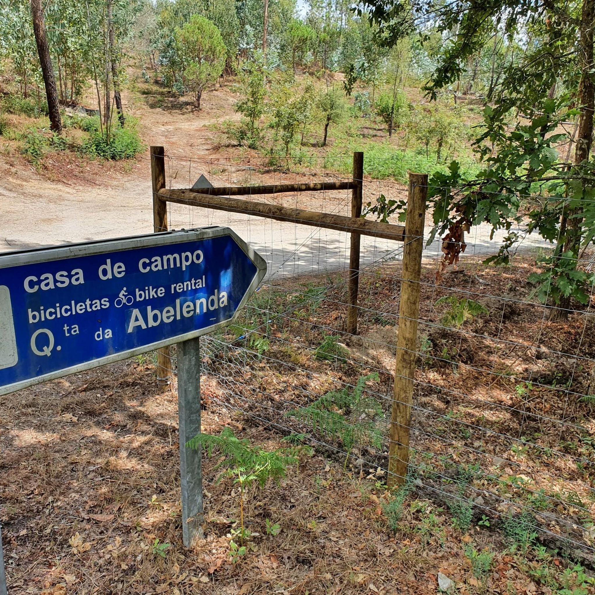
While the immediate guide doesn't detail all services, the region does have facilities catering to cyclists. For example, you can find Quinta da Abelenda Bicycle Rental, which can assist with equipment needs for your cycling adventures.
Can I find routes that offer good viewpoints?
Absolutely. The region's hilly landscape, especially around Serra d'Ossa, provides numerous opportunities for panoramic views. Routes like the Fonte da Sereia – Pedra Talhada Viewpoint loop from Castelejo are specifically named for their scenic viewpoints, allowing you to take in the vast Alentejo countryside.
What is the typical distance and elevation for moderate road cycling routes?
Moderate road cycling routes around Vimieiro typically range from 50 to 60 kilometers in distance. For example, the Memorial to the French Invasions loop from Santa Comba Dão e Couto de Mosteiro is 61.4 km with an elevation gain of about 900 meters. These routes usually involve a few hours of riding with noticeable but manageable ascents.
Most popular routes around Vimieiro
Most popular attractions around Vimieiro

Get inspired with the komoot mobile app


Explore more
Browse the best Road cycling routes in other regions.
