The best walks and hikes around Várzea De Tavares
4.5
(34)
121
hikers
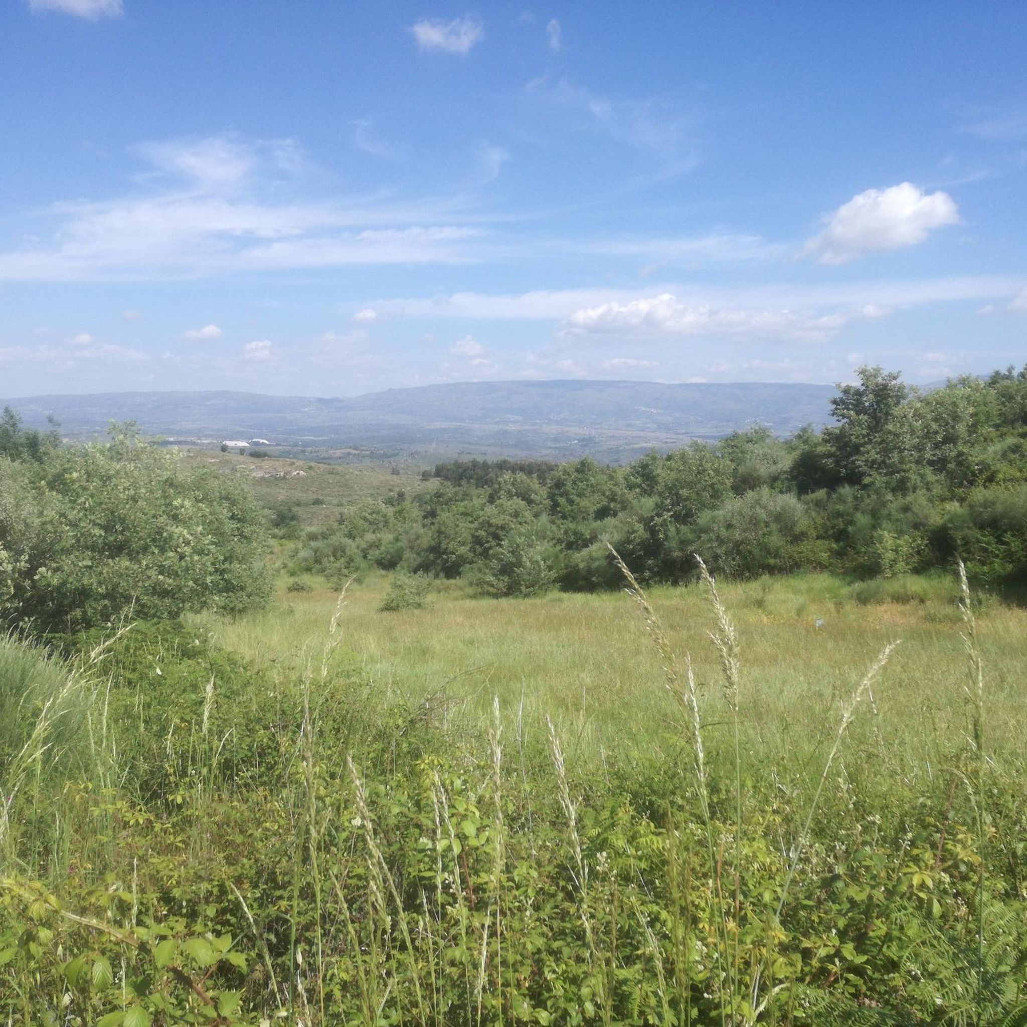
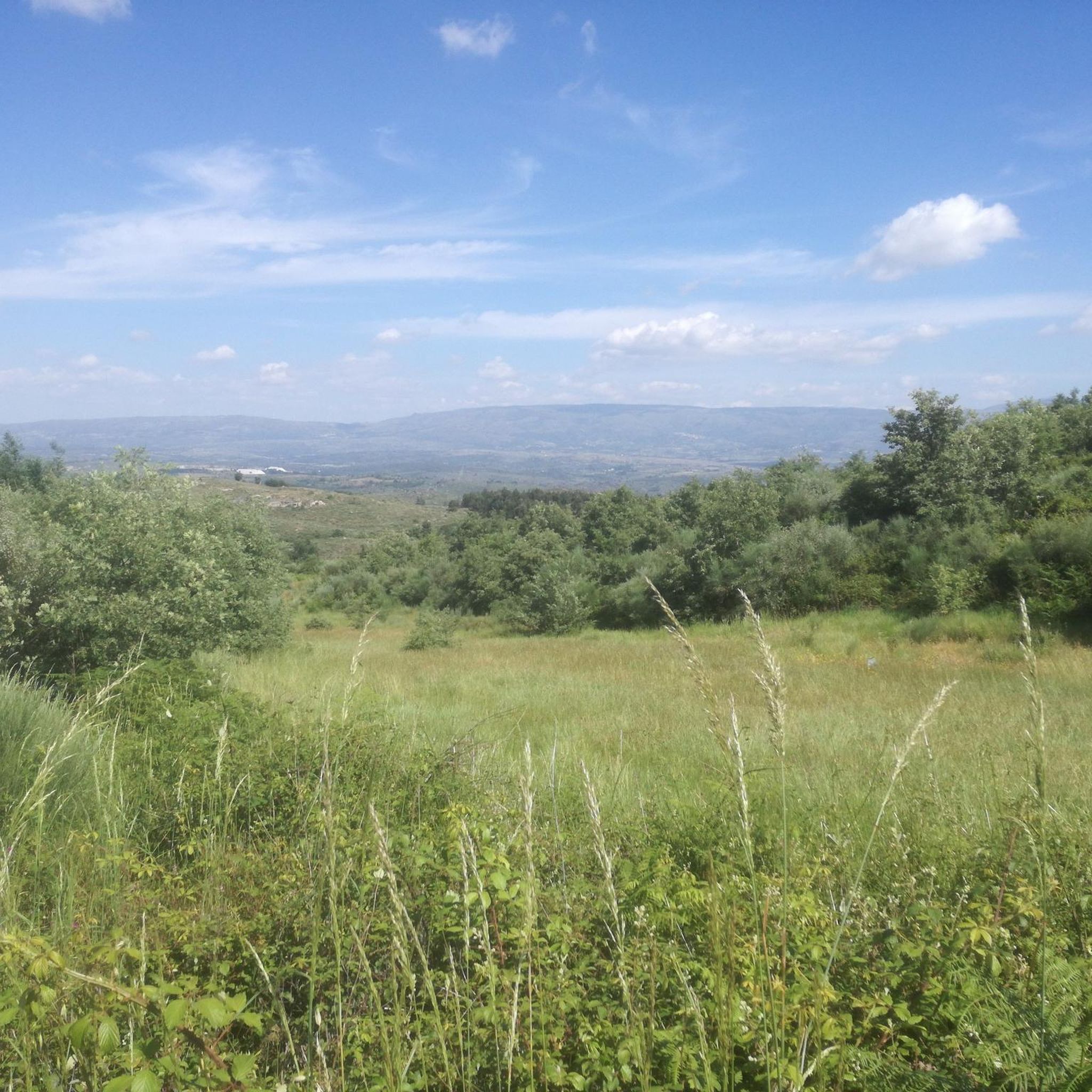
Hikes Várzea de Tavares Portugal offer diverse experiences within the Douro wine region, a UNESCO World Heritage Site. The area features attractive countryside with numerous viewpoints overlooking the Douro Valley and the Valeira Dam. The landscape is characterized by terraced vineyards and is bordered to the north by the River Douro. Situated at an altitude of 2,790 feet (850 m) above sea level, Várzea de Tavares provides varied topography for hiking.
Best hiking trails around Várzea De Tavares
- The most…
Last updated: July 15, 2026
4.9
(7)
14
hikers
6.31km
01:47
140m
140m
Easy hike. Great for any fitness level. Easily-accessible paths. Suitable for all skill levels.
4.0
(3)
12
hikers
11.4km
03:33
420m
420m
Moderate hike. Good fitness required. Easily-accessible paths. Suitable for all skill levels.

Sign up for free
4.0
(4)
11
hikers
10.4km
03:14
400m
400m
Moderate hike. Good fitness required. Easily-accessible paths. Suitable for all skill levels.
5.0
(1)
11
hikers
9.44km
03:02
400m
400m
Moderate hike. Good fitness required. Easily-accessible paths. Suitable for all skill levels.
7
hikers
10.0km
02:49
210m
210m
Moderate hike. Good fitness required. Easily-accessible paths. Suitable for all skill levels.
Our route recommendations are based on thousands of hikes, rides, and runs completed by other people on komoot.
Start today with a free account
Your next adventure awaits.
Login or Signup
Popular around Várzea De Tavares

Tips from the Community


Characterized by a serene and rural atmosphere, Freixo da Serra offers a taste of traditional Portuguese mountain life. Its stone houses, narrow streets and surrounding environment of cultivated fields and forests make it an ideal place for those seeking peace and contact with nature. Its strategic location allows easy access to some of the trails and points of interest of Serra da Estrela, while maintaining the tranquility of a less touristy settlement.
0
0
The village is famous for its granite houses, cobbled streets and its imposing medieval castle, which offers spectacular views of the surrounding landscape. Legend has it that Folgosinho was founded by Lusone, grandson of Noah, which adds a touch of mysticism to its already fascinating history.
0
0
The village is famous for its granite houses, cobbled streets and its imposing medieval castle, which offers spectacular views of the surrounding landscape. Legend has it that Folgosinho was founded by Lusone, grandson of Noah, which adds a touch of mysticism to its already fascinating history.
0
0

Frequently Asked Questions
How many hiking trails are available in Várzea De Tavares?
There are 5 hiking routes around Várzea De Tavares, offering diverse experiences. These trails are highly rated by the komoot community, with an average score of 4.5 stars from over 30 reviews.
What kind of terrain and elevation can I expect on the trails?
The terrain in Várzea De Tavares is varied, characterized by terraced vineyards and views of the Douro Valley. The region is situated at an altitude of 850 meters (2,790 ft) above sea level, contributing to diverse topography. You'll find options from gentle walks to moderate ascents. For example, the O Poção Public Pool – Folgosinho loop from Melo is a moderate path with an elevation gain of 425 meters (1,394 ft).
Are there any notable viewpoints or natural features along the hiking routes?
Yes, the region is rich in natural beauty and viewpoints. You can expect stunning views overlooking the Douro Valley and the Valeira Dam. The landscape is dominated by picturesque terraced vineyards, and the River Douro borders the municipality to the north, offering scenic vistas. The chapel of São Salvador do Mundo (Ermo) is also known for its panoramic views.
Are there family-friendly hiking options in Várzea De Tavares?
Yes, there are options suitable for families. The Hiking loop from Melo e Nabais is an easy 5.8 km (3.6 miles) trail that takes approximately 1 hour 38 minutes to complete, making it a gentle introduction to the region's landscape for all ages.
Can I bring my dog on the hiking trails?
While specific regulations for dogs on trails are not detailed, many outdoor areas in Portugal are generally dog-friendly, especially on marked trails. It's always recommended to keep dogs on a leash and ensure they are well-behaved to respect wildlife and other hikers. Please check local signage for any specific restrictions.
Are there circular hiking routes available?
Yes, several routes in Várzea De Tavares are circular. For instance, the Hiking loop from Melo is a 10.4 km (6.5 miles) circular trail that leads through the local countryside, typically completed in about 3 hours 14 minutes.
What is the best time of year to go hiking in Várzea De Tavares?
The Douro region generally offers pleasant hiking conditions during spring (April-May) and autumn (September-October) when temperatures are milder and the landscape is vibrant with blossoms or autumn colors. Summers can be hot, while winters are cooler but often still suitable for hiking, especially at lower altitudes.
What are the parking options for trail access?
While specific parking areas for each trail are not detailed, Várzea de Tavares is a rural area, and trailheads often have informal parking spaces or are accessible from village centers where parking is available. It's advisable to check the starting point of your chosen route on komoot for more precise parking information.
Are there challenging hikes for experienced trekkers?
The routes in Várzea De Tavares are primarily categorized as easy to moderate. While there aren't 'difficult' graded trails in the immediate area, moderate routes like the Folgosinho – Folgosinho loop from Melo, at 9.4 km (5.8 miles) with a 395-meter (1,296 ft) elevation gain, offer a good workout and varied terrain for those seeking a more extended challenge.
What do other hikers enjoy most about hiking in Várzea De Tavares?
The area is highly rated by the komoot community, with an average score of 4.5 stars. Reviewers often praise the stunning Douro Valley views, the unique terraced vineyards, and the varied topography that makes for engaging hikes. The well-established network of trails also contributes to a positive experience.
Are there any easy hikes suitable for beginners?
Yes, beginners can enjoy the Hiking loop from Melo e Nabais. This easy route covers 5.8 km (3.6 miles) and takes approximately 1 hour 38 minutes, providing a gentle introduction to the region's beautiful landscapes without significant elevation challenges.
What is the typical duration of hikes in Várzea De Tavares?
Hike durations vary depending on the route and your pace. Easy routes, like the Hiking loop from Melo e Nabais, can be completed in under 2 hours. Moderate trails, such as the Freixo da Serra loop from Melo (10 km / 6.2 miles), typically take around 2 hours 50 minutes to complete.
Are there places to eat or stay near the hiking trails?
Várzea de Tavares is located within the municipality of São João da Pesqueira, which is part of the Douro wine region. You can find local amenities, including cafes, restaurants, and accommodation options, in nearby villages and towns. These establishments often cater to visitors exploring the region's wine and natural beauty.
Most popular routes around Várzea De Tavares

Get inspired with the komoot mobile app


Explore more
Browse the best Hikes in other regions.
