The best MTB trails around Santo Adrião
4.8
(5)
33
riders
5
rides
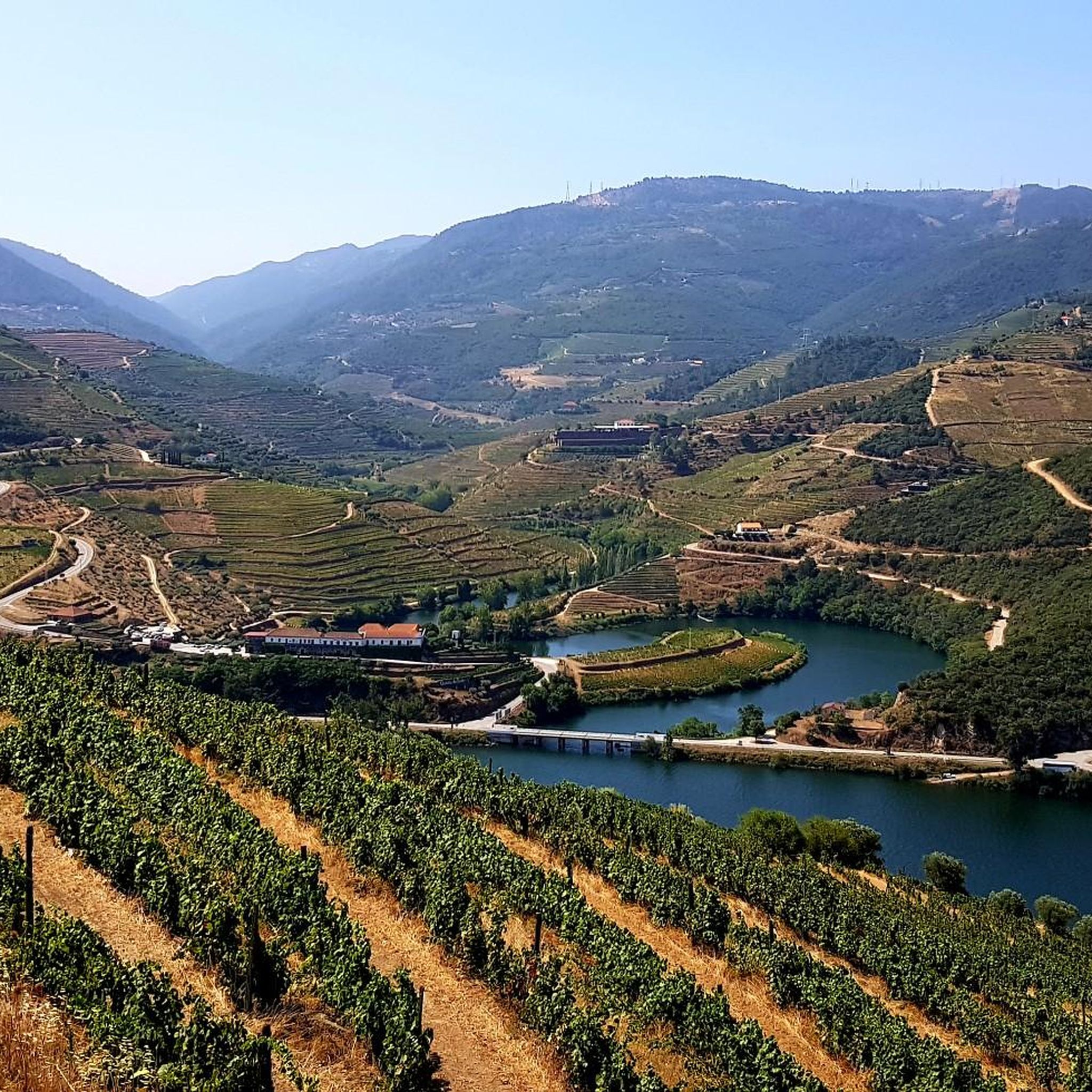
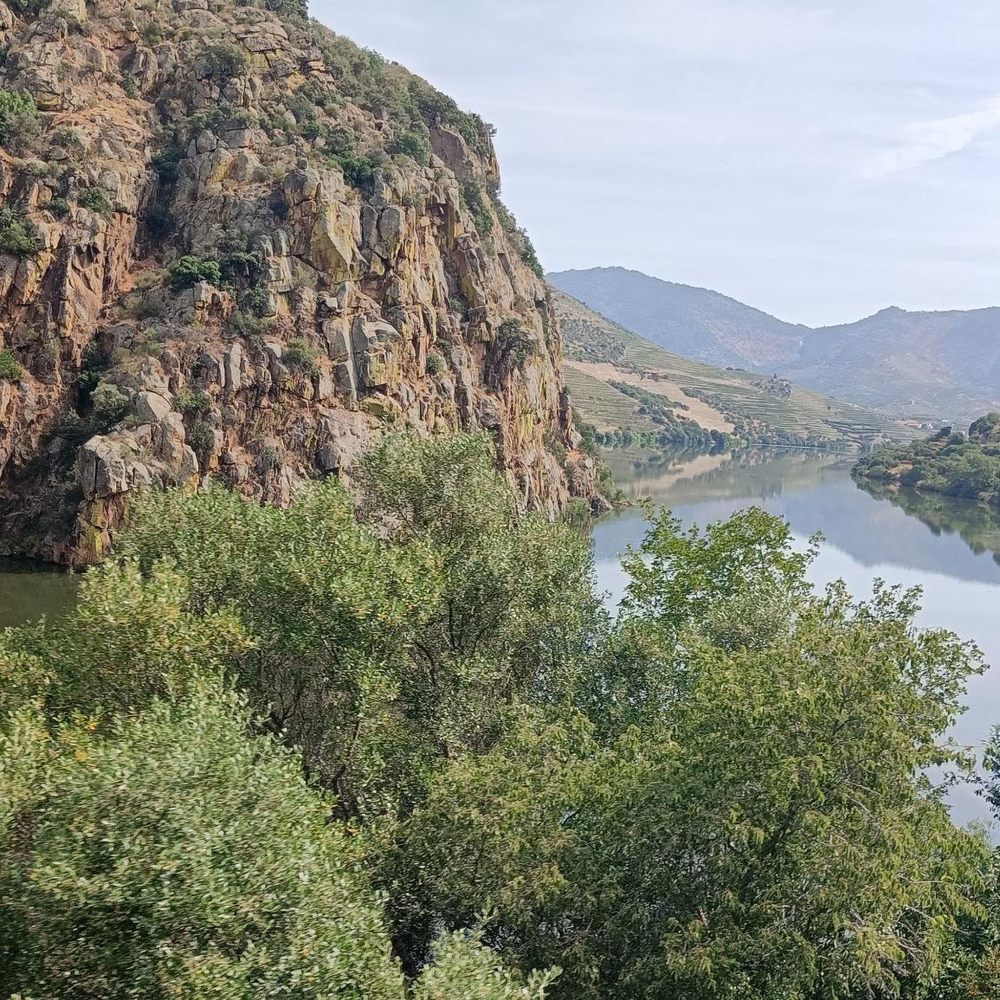
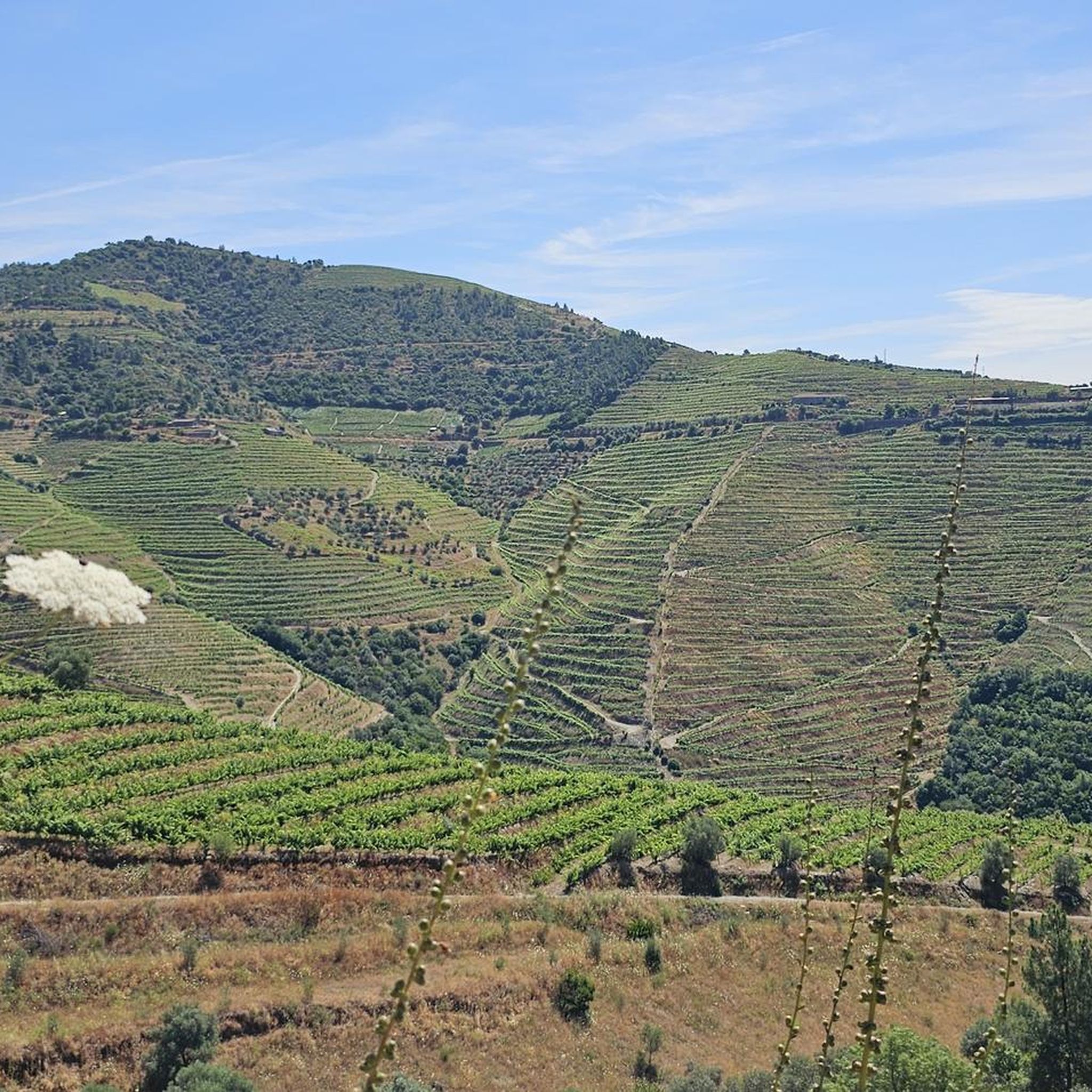
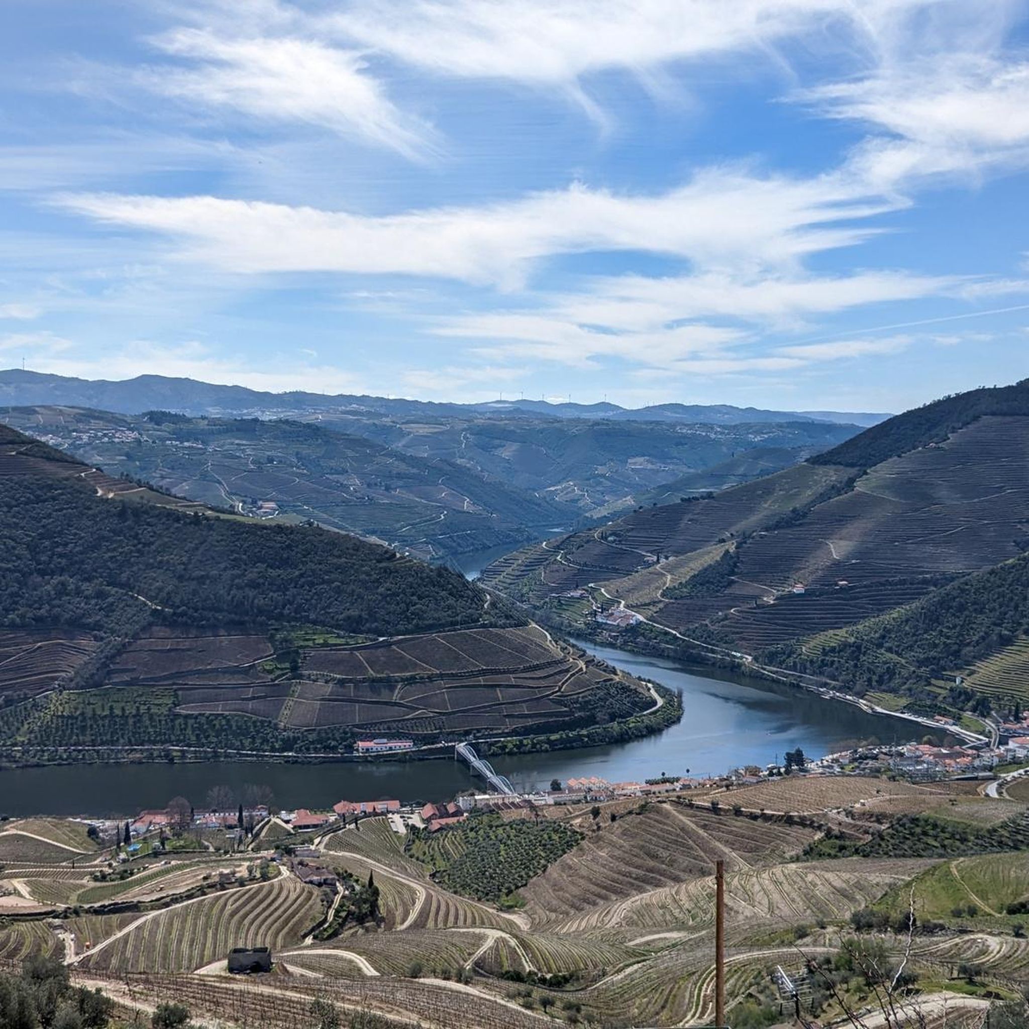
Mountain biking around Santo Adrião offers routes through a landscape characterized by steep hills, deep valleys, and significant elevation changes. The region, part of the wider Douro Valley, features trails that wind through vineyards, olive groves, and traditional villages. These routes often provide views of the river landscape and surrounding mountainous terrain. The area's topography presents varied challenges for mountain bikers.
Best mountain bike trails around Santo Adrião
- The most popular mountain bike trail is Praia Fluvial do Passadouro –…
Last updated: July 11, 2026
4.7
(3)
8
riders
24.8km
02:00
650m
650m
Moderate mountain bike ride. Good fitness required. Suitable for all skill levels.
5.0
(2)
7
riders
28.0km
02:23
760m
770m
Moderate mountain bike ride. Good fitness required. Suitable for all skill levels.

Sign up for free
8
riders
57.6km
03:55
960m
960m
Hard mountain bike ride. Very good fitness required. Suitable for all skill levels.
5
riders
113km
08:14
2,360m
2,360m
Hard mountain bike ride. Very good fitness required. Suitable for all skill levels.
3
riders
73.2km
05:10
1,430m
1,430m
Hard mountain bike ride. Very good fitness required. Suitable for all skill levels.
Our route recommendations are based on thousands of hikes, rides, and runs completed by other people on komoot.
Start today with a free account
Your next adventure awaits.
Login or Signup
Tips from the Community

The parking area for motorhomes directly on the Douro River
1
0

The portal of the Igreja da Misericórdia church features a wall tile painting from the Christian period. The historic town center is a listed monument in its entirety.
0
0
The portal of the Igreja da Misericórdia church also has beautifully painted wall tiles with Christian motifs.
0
0

A worthwhile museum, which scores points despite/or because of its very minimalist presentation of the subject matter. At the end, enjoy a port wine on the terrace of the museum's café.
1
0

The slopes of the Douro are truly spectacular. Stunning landscapes. 👍🥾
1
0

Unfortunately, at the beginning it is impossible to cycle!!!
0
0
The Corgo Eco-Trail is the result of the restoration of part of the old Corgo railway line, which connects Régua to Chaves. The Eco-Trail currently begins in Abambres, in the municipality of Vila Real, and continues north towards Chaves, connecting to Verín (Spain) via the Corgo International Eco-Trail. This is a panoramic route where the Corgo River is your travelling companion, as well as the Marão and Alvão mountains and the Vale de Aguiar, along a route where agricultural fields are a constant presence. Vineyards and fruit trees characterise the landscape and their colours, which vary depending on the time of year, form a natural and diverse palette of colours. In addition to all the existing railway heritage, Pedras Salgadas, Vidago and Chaves stand out, both known for their famous thermal waters. Would you like to download the route of this Eco-Trail? To read this file, you will need a GPS application designed for outdoor exercise.
0
0
beautiful place to take some photos
0
0
Frequently Asked Questions
What is the overall difficulty level of mountain biking in Santo Adrião?
Mountain biking around Santo Adrião is characterized by steep hills, deep valleys, and significant elevation changes, typical of the Douro Valley. The available routes range from moderate to difficult, offering varied challenges for mountain bikers. There is one easy route, one moderate route, and three difficult routes listed in the area.
How many mountain bike trails are available in Santo Adrião?
There are 5 mountain bike trails listed around Santo Adrião. These routes offer diverse terrain through vineyards, olive groves, and traditional villages, providing options for different skill levels.
Are there any easy mountain bike trails in Santo Adrião?
While many trails feature significant climbs and varied terrain, there is one easy mountain bike route available in Santo Adrião. This allows for a less strenuous option for those looking for a more relaxed ride.
What kind of terrain can I expect on mountain bike trails around Santo Adrião?
The terrain around Santo Adrião is defined by steep hills, deep valleys, and vineyard-covered slopes, characteristic of the Douro Valley. You can expect trails that wind through vineyards, olive groves, and traditional villages, often providing scenic views of the river landscape and surrounding mountainous areas.
What do other mountain bikers say about the trails in Santo Adrião?
The mountain bike trails around Santo Adrião are highly rated by the komoot community, with an average score of 4.5 stars from 3 reviews. More than 29 mountain bikers have used komoot to explore the varied terrain, often praising the challenging climbs and scenic views of the Douro Valley.
Are there any long-distance mountain bike routes for experienced riders?
Yes, for experienced riders seeking longer distances and significant elevation, routes like the Quinta da Pacheca – Start of the Ecopista do Corgo loop from Godim offer a challenging ride of over 112 km with substantial climbs. Another demanding option is the Aldeias Church – Armamar Heliport loop from Armamar, which covers over 73 km.
Can I find circular mountain bike routes in Santo Adrião?
Yes, many of the mountain bike routes in Santo Adrião are designed as loops. Examples include the Praia Fluvial do Passadouro – Quinta do Junco loop from Pinhão, the Mountainbike loop from Adorigo, and the Quinta da Pacheca loop from Godim, allowing you to start and finish at the same point.
When is the best time of year to go mountain biking in Santo Adrião?
The Douro Valley, where Santo Adrião is located, generally offers good mountain biking conditions during spring (April-May) and autumn (September-October). These seasons provide milder temperatures and less rainfall, making for more comfortable rides through the vineyards and hills. Summers can be very hot, and winters may bring more rain.
Are there any interesting landmarks or viewpoints along the mountain bike trails?
Yes, the region around Santo Adrião is rich in scenic viewpoints and historical landmarks. You might encounter sights such as the Pinhão Railway Station with its famous azulejos, the historic Marco Pombalino, or enjoy panoramic views from the Saint Leonardo of Galafura Viewpoint or the View of Pinhão and the Douro River from Miradouro de Casal de Loivos.
Is Santo Adrião suitable for family-friendly mountain biking?
Given the region's characteristic steep hills and significant elevation changes, many trails around Santo Adrião are moderate to difficult. While there is one easy route, families with younger children or those seeking very gentle rides might find options limited. It's advisable to check individual route profiles for suitability.
What are the typical distances and elevations for mountain bike routes in this area?
The mountain bike routes around Santo Adrião vary significantly. Distances can range from approximately 24 km for a moderate loop like the Praia Fluvial do Passadouro – Quinta do Junco loop from Pinhão, up to over 112 km for more challenging routes. Elevation gains are also substantial, often exceeding 600 meters and reaching over 2300 meters on the longest trails.
Most popular routes around Santo Adrião
Most popular attractions around Santo Adrião

Get inspired with the komoot mobile app


Explore more
Browse the best MTB trails in other regions.
