The best road cycling routes around Ferral
5.0
(1)
53
riders
4
rides
Road cycling routes around Ferral are characterized by challenging climbs and descents through a mountainous landscape. The region features significant elevation changes, with routes often traversing areas near national parks and dams. Cyclists can expect to encounter varied terrain, including winding roads through natural areas and past water features. The routes are generally demanding, offering sustained ascents and technical sections.
Best road cycling routes around Ferral
- The most popular road cycling route is View of the National Park – Venda…
Last updated: July 12, 2026
5.0
(1)
25
riders
46.9km
02:40
1,080m
1,080m
Hard road ride. Very good fitness required. Mostly well-paved surfaces and easy to ride.
11
riders
54.7km
03:23
1,500m
1,500m
Hard road ride. Very good fitness required. Mostly well-paved surfaces and easy to ride.

Sign up for free
9
riders
86.4km
05:08
2,040m
2,040m
Hard road ride. Very good fitness required. Some segments of this route may be unpaved and difficult to ride.
3
riders
63.1km
03:25
1,240m
1,240m
Hard road ride. Very good fitness required. Mostly well-paved surfaces and easy to ride.
5
riders
52.0km
02:42
880m
880m
Moderate road ride. Good fitness required. Mostly well-paved surfaces and easy to ride.
Our route recommendations are based on thousands of hikes, rides, and runs completed by other people on komoot.
Start today with a free account
Your next adventure awaits.
Login or Signup
Popular around Ferral

Tips from the Community

Nice climb, steady and great for pushing. Nice view at the top, and there's a fountain halfway up/down.
0
0

Beautiful, but crowded in July. There are nicer, less crowded swimming spots nearby.
0
0

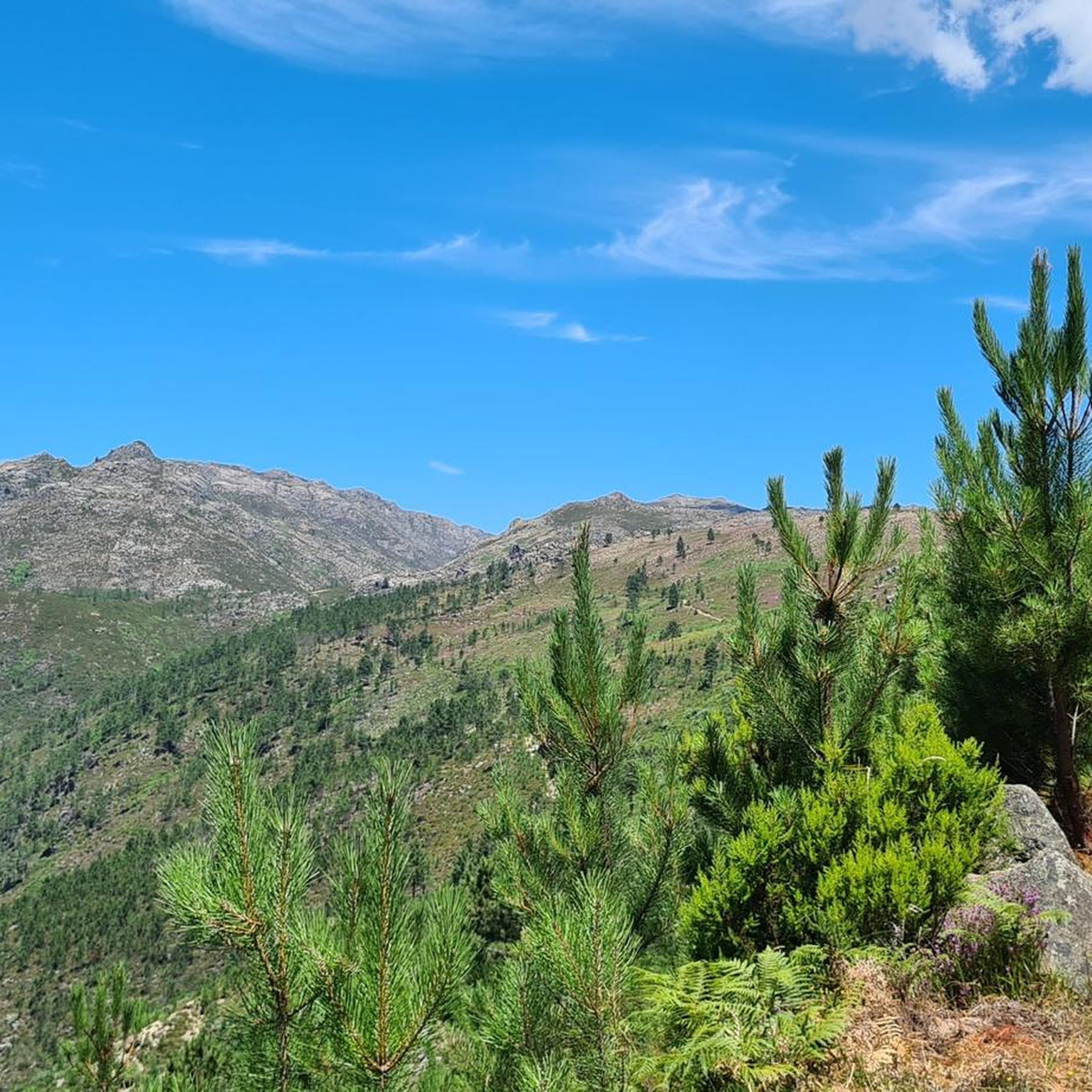
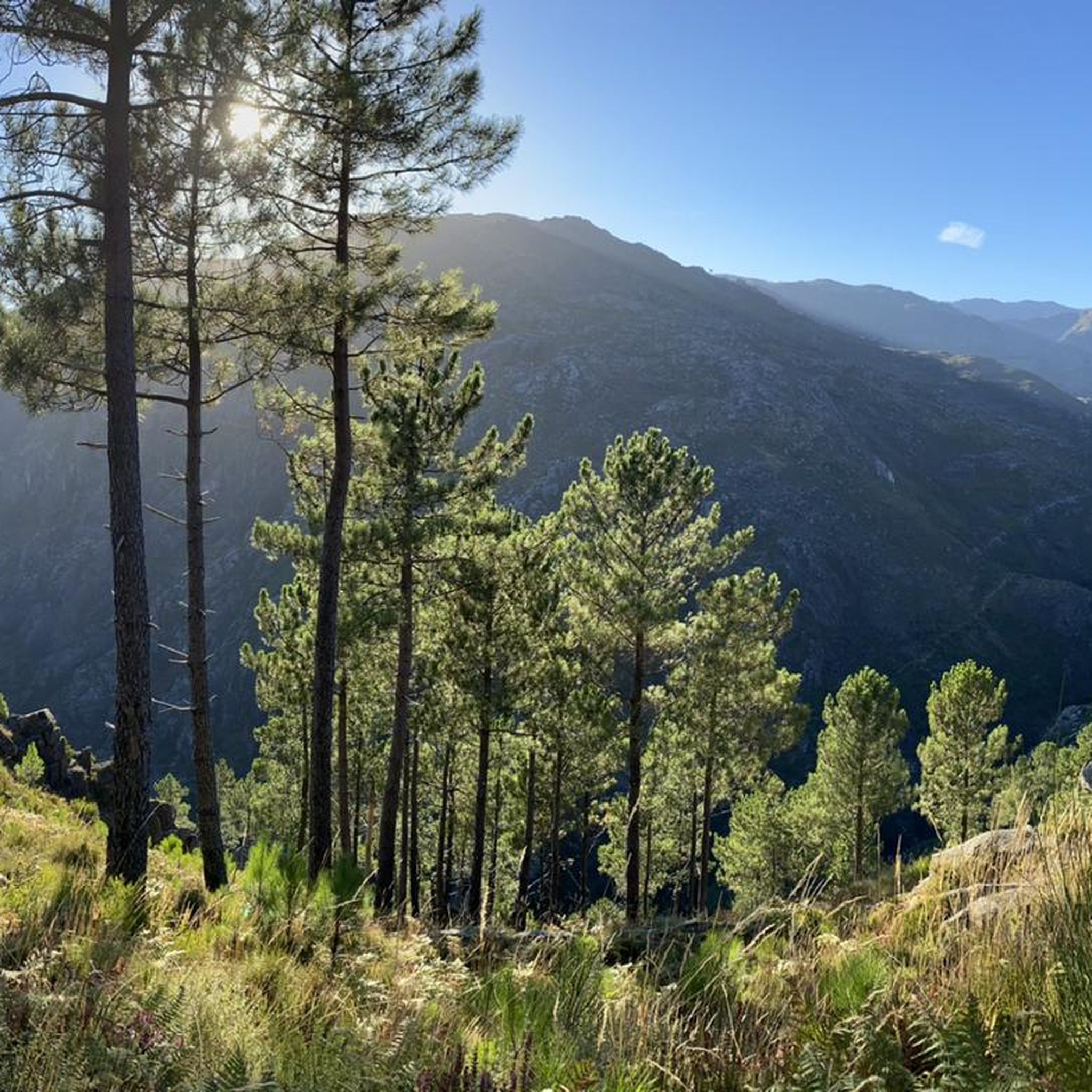
This area is characterized by an unspoiled mountain landscape, typical of the Serra do Gerês and Serra da Cabreira, integral parts of the Peneda-Gerês National Park. The region is known for its wild nature, glacial valleys, mountain pastures and rock formations, elements that contribute to its biodiversity and landscape value.
0
0

Mondim de Basto, on the banks of the Tâmega, holds memories of many peoples. Although it was only founded in the 12th century, during the reign of D. Sancho I, its roots are much older.
1
0
From the top of this viewpoint, the view takes in breathtaking landscapes. To the south, the Gerês valley stretches out, with the Caniçada reservoir framing the horizon. A little to the north, lies the source of the Gerês River, which, over the centuries, followed the course of the Gerês/Lovios fault, carving out the straight and imposing valley that now lies before you.
2
0

Original village, known for the monument Torre do Boi.
0
0

Bridge built in the 18th century. It is here that the Ouro River flows into the Tâmega River.
0
0
The Festival in Honor of Nossa Senhora dos Remédios takes place in Vila do Arco de Baúlhe and takes place on the first weekend of September.
0
0
Frequently Asked Questions
What is the general difficulty level for road cycling routes around Ferral?
Road cycling routes in the Ferral area are generally demanding, characterized by significant elevation changes, challenging climbs, and descents through a mountainous landscape. You can expect sustained ascents and technical sections, making them suitable for experienced cyclists.
How many road cycling routes are available in the Ferral region?
Currently, there are 4 highly-rated road cycling routes available around Ferral on komoot. These routes showcase the region's challenging terrain and scenic views.
What kind of terrain and elevation can I expect on road cycling routes near Ferral?
The terrain around Ferral is predominantly mountainous, featuring winding roads with significant elevation changes. Routes often traverse areas near national parks and dams, offering varied landscapes. For example, the Casa da Torre – Ponte do Arco de Baúlhe loop from Bagulhão includes over 6,800 feet (2096 meters) of climbing.
Are there any circular road cycling routes in Ferral?
Yes, many of the road cycling routes around Ferral are designed as loops. For instance, the popular View of the National Park – Venda Nova Dam loop from Ferral is a 29.1-mile (46.9 km) circular route offering stunning views.
What natural features or landmarks can I see along the road cycling routes?
The routes often pass through areas with impressive natural features. You can encounter views of a National Park and cross dams. Nearby attractions include several beautiful waterfalls like the Fecha de Barjas Waterfall (Tahiti), Tahiti Waterfall, Pincães Waterfall, and Cela Cavalos Waterfall. There are also serene lakes and pools such as the Blue Pool and Green Pool.
Are there any routes that feature dams or water bodies?
Absolutely. Several routes incorporate dams and water features into their scenic paths. The Venda Nova Dam – Travassos do Rio Village loop from Venda Nova is a prime example, offering views of the Venda Nova Dam.
What do other road cyclists enjoy most about cycling in Ferral?
Road cyclists frequently praise the challenging nature of the routes and the stunning views of the national park and dams. The significant elevation changes and varied terrain provide a rewarding experience for those seeking demanding rides.
Are there any family-friendly road cycling routes in Ferral?
Given the challenging nature of the terrain, with significant elevation changes and difficult grades, most road cycling routes around Ferral are not typically considered family-friendly for casual rides. They are better suited for experienced cyclists.
Can I bring my dog on these road cycling routes?
While some natural areas may permit dogs, road cycling routes themselves are generally not designed with dogs in mind, especially given the challenging terrain and potential for traffic. It's best to check specific national park regulations if you plan to bring a dog to the area, but for the cycling routes, it's generally not recommended.
What is the longest road cycling route available in Ferral?
The longest route listed is the Casa da Torre – Ponte do Arco de Baúlhe loop from Bagulhão, which spans 55.1 miles (88.6 km) and typically takes around 5 hours and 17 minutes to complete.
Are there any routes that offer views of a national park?
Yes, the region's routes often traverse areas near national parks. A notable example is the Venda Nova Dam – View of the National Park loop from Louredo, which provides scenic vistas of the national park.
What is the best time of year for road biking in Ferral?
While specific seasonal details are not provided, given the mountainous terrain and potential for challenging conditions, spring and autumn generally offer more temperate weather for road cycling. Summers can be hot, and winters may bring colder temperatures or precipitation, especially at higher elevations.
Most popular routes around Ferral
Most popular attractions around Ferral

Get inspired with the komoot mobile app


Explore more
Browse the best Road cycling routes in other regions.
