The best MTB trails around Santo António De Monforte
4.5
(25)
207
riders
33
rides
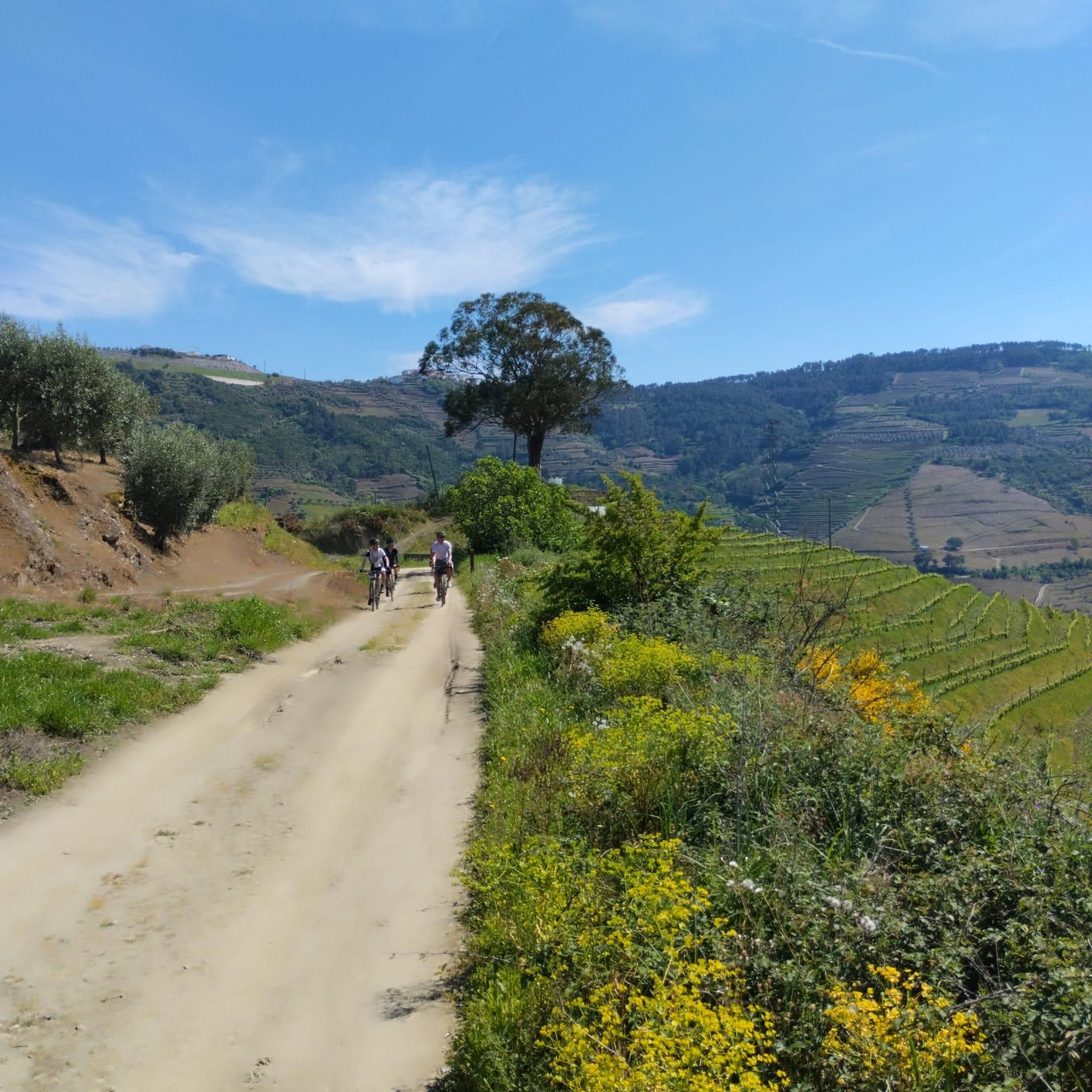
Mountain biking around Santo António De Monforte offers varied terrain within the municipality of Chaves, Portugal. The area features elevated landscapes on the slopes of the Serra de Cota, providing expansive views over the Chaves plain. Riders can expect a mix of rural roads, agricultural tracks, and paths influenced by granite formations. The presence of the Barragem das Nogueirinhas (Arcossó Dam) also adds tranquil, scenic sections along the Arcossó River.
Best mountain bike trails around Santo António De Monforte
- The…
Last updated: July 12, 2026
18
riders
48.2km
04:19
730m
730m
Hard mountain bike ride. Good fitness required. Advanced riding skills necessary. Some portions of the route may require you to push your bike.
4.3
(10)
20
riders
47.0km
03:03
440m
440m
Moderate mountain bike ride. Good fitness required. Suitable for all skill levels.

Sign up for free
3.0
(1)
14
riders
55.2km
05:00
1,020m
1,020m
Hard mountain bike ride. Very good fitness required. Advanced riding skills necessary.
11
riders
44.4km
04:04
710m
710m
Hard mountain bike ride. Good fitness required. Advanced riding skills necessary. Some portions of the route may require you to push your bike.
8
riders
50.8km
04:34
890m
890m
Moderate mountain bike ride. Good fitness required. Advanced riding skills necessary.
Get access to more routes and recommendations from other explorers.
Sign up for free
Already have an account?
Our route recommendations are based on thousands of hikes, rides, and runs completed by other people on komoot.
Start today with a free account
Your next adventure awaits.
Login or Signup

Tips from the Community

The Tâmega and Corgo Ecovia is the Cross-Border Ecological Corridor that connects Chaves and Verín, always along the riverbank. A route to explore on foot or by bike, enjoying contact with the landscape.
0
0
The medieval castle At the time of the Christian Reconquest of the Iberian Peninsula, Chaves was initially taken from the Moors by Alfonso III of León (866-910), who ordered the reconstruction of its defenses. This original construction of the castle is attributed to Count Odoarius in the 9th century. In the first quarter of the 10th century, however, Chaves fell back under Moorish rule.
0
0
everything around is beautiful to appreciate
1
0
Tâmega and Corgo International Ecovia "Poldrado de Curalha - 1889. Designed by Engineer Augusto Xavier Teixeira, this granite bridge (poldras or walkway) is very well preserved and is used for people and animals to cross the river.
0
0

Committed enduro-type portion for mountain bikes
0
0
Frequently Asked Questions
How many mountain bike trails are available in Santo António De Monforte?
There are 35 mountain bike trails available in Santo António De Monforte, offering a range of experiences from easy to difficult. This diverse network ensures options for various skill levels.
Are there easy mountain bike trails suitable for beginners in Santo António De Monforte?
Yes, Santo António De Monforte offers 3 easy mountain bike trails, perfect for beginners or those looking for a relaxed ride. These routes typically feature gentler gradients and less technical terrain, allowing you to enjoy the scenic rural landscapes.
What kind of terrain can I expect on mountain bike trails in Santo António De Monforte?
The terrain in Santo António De Monforte is varied, characterized by elevated landscapes on the slopes of the Serra de Cota, offering expansive views over the Chaves plain. You'll encounter a mix of rural roads, agricultural tracks, and paths influenced by granite formations. The presence of the Barragem das Nogueirinhas (Arcossó Dam) also adds tranquil, scenic sections along the Arcossó River.
Are there any circular mountain bike routes in the area?
Yes, many of the mountain bike routes in Santo António De Monforte are circular, allowing you to start and end at the same point. An example is the Palácio de Vidago – Poldrado de Curalha loop from Chaves, a moderate 29.0-mile (46.7 km) path that winds through the region's rural landscapes.
What are some of the more challenging mountain bike routes in Santo António De Monforte?
For experienced riders seeking a challenge, Santo António De Monforte offers 17 difficult mountain bike trails. One such route is the Poldrado de Curalha – Ponte de Trajano loop from Chaves, a 29.8-mile (47.9 km) trail with significant elevation changes, typically taking over 4 hours to complete.
What do other mountain bikers enjoy most about the trails in Santo António De Monforte?
The mountain bike trails in Santo António De Monforte are highly rated by the komoot community, with an average score of 4.5 stars. Riders often praise the varied terrain, the stunning panoramic views over the Chaves plain, and the opportunity to explore the preserved rural way of life away from crowded spots.
Are there any historical landmarks or attractions along the mountain bike trails?
While riding, you can encounter historical points of interest, especially on routes that venture towards Chaves. For example, the Trajan Roman Bridge – Keep Tower of Chaves Castle loop from Chaves leads through varied terrain with historical sites. Nearby attractions include the Trajan Bridge (Chaves Roman Bridge) and the Chaves Old Town.
What is the best time of year for mountain biking in Santo António De Monforte?
The region's climate, with its generally mild conditions, makes spring and autumn ideal for mountain biking. During these seasons, temperatures are pleasant, and the natural landscapes are particularly vibrant, offering comfortable riding conditions and beautiful scenery.
Are there any routes that offer particularly good viewpoints?
Given Santo António De Monforte's elevated position on the slopes of the Serra de Cota, many routes provide magnificent panoramic views of the Chaves plain. Look for trails that ascend to higher elevations to fully appreciate these expansive vistas.
How long do mountain bike trails typically take to complete in this area?
Trail durations vary significantly based on difficulty and distance. For instance, a challenging route like the Keep Tower of Chaves Castle loop from Chaves, which is 27.7 miles (44.6 km), can take around 4 hours to complete. Moderate trails will generally be shorter in duration.
Are there any routes that pass by the Barragem das Nogueirinhas (Arcossó Dam)?
Yes, the Barragem das Nogueirinhas is a notable natural feature within the parish. While specific routes are not detailed, the dam's tranquil setting along the Arcossó River suggests opportunities for relaxed cycling along its edges, offering peaceful scenery.
What is the longest mountain bike trail available in Santo António De Monforte?
One of the longer routes you can explore is the Trajan Roman Bridge – Keep Tower of Chaves Castle loop from Chaves, which spans 33.7 miles (54.3 km) and typically takes about 4 hours and 57 minutes to complete, leading through varied terrain.
Most popular attractions around Santo António De Monforte

Get inspired with the komoot mobile app


Explore more
Browse the best MTB trails in other regions.
