The best cycling routes around Cimo De Vila Da Castanheira
4.7
(3)
17
riders
4
rides
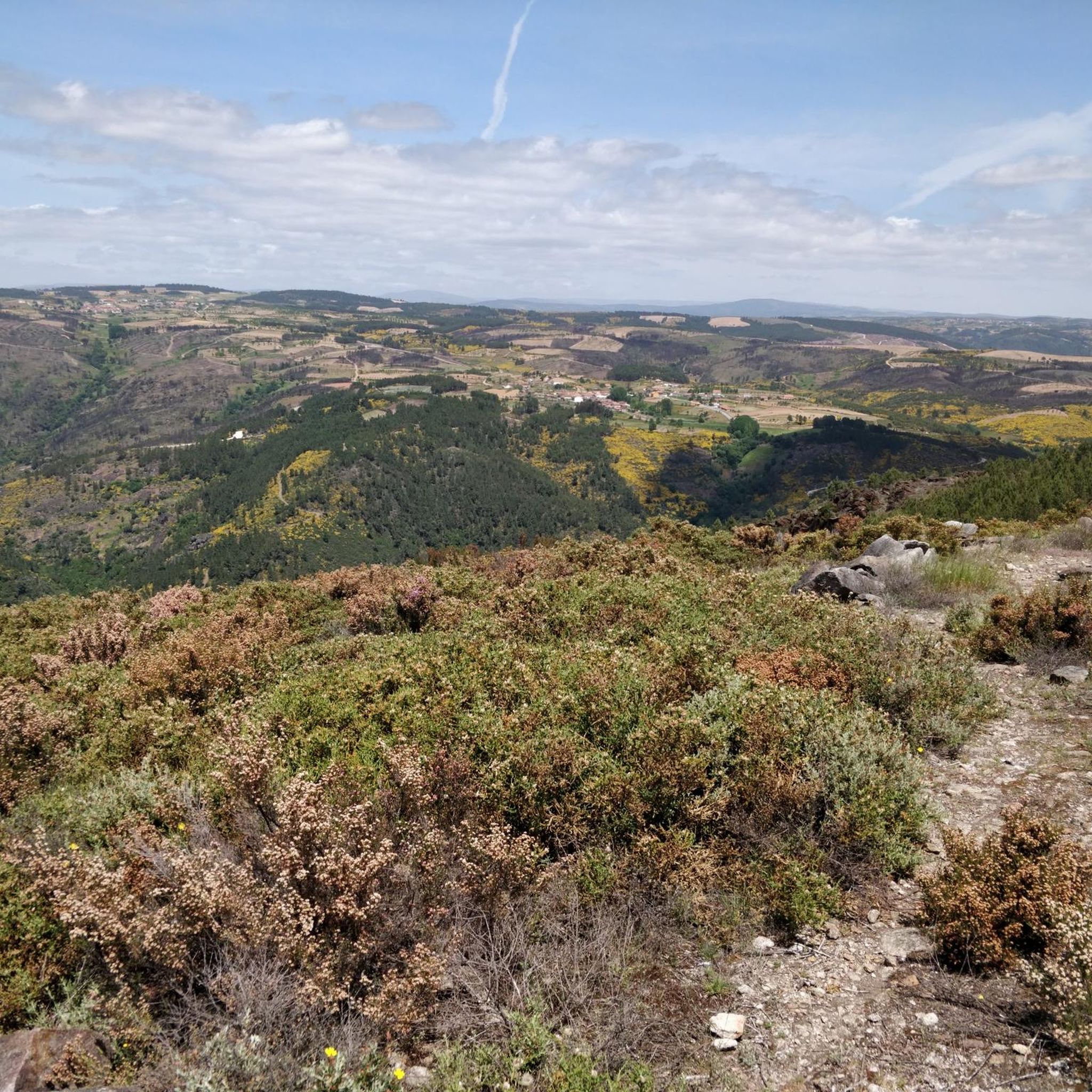
Touring cycling around Cimo De Vila Da Castanheira, nestled within the municipality of Chaves in northern Portugal, offers routes across a large mountain plateau. The region features a rural, mountainous landscape with diverse terrain. Cyclists can expect picturesque countryside, including chestnut woods and golden cereal fields, providing varied scenery. This combination of plateaus, woodlands, and agricultural land creates a suitable environment for touring cyclists.
Best touring cycling routes around Cimo De Vila Da Castanheira
- The most popular touring cycling route…
Last updated: July 12, 2026
4.7
(3)
6
riders
25.4km
01:44
410m
400m
Moderate bike ride. Good fitness required. Mostly paved surfaces. Suitable for all skill levels.
4
riders
53.7km
03:41
910m
910m
Hard bike ride. Very good fitness required. Mostly paved surfaces. Suitable for all skill levels.

Sign up for free
3
riders
28.2km
01:57
470m
470m
Hard bike ride. Very good fitness required. Mostly paved surfaces. Suitable for all skill levels.
2
riders
37.8km
02:41
670m
670m
Hard bike ride. Very good fitness required. Mostly paved surfaces. Suitable for all skill levels.
2
riders
16.0km
01:05
260m
260m
Moderate bike ride. Good fitness required. Mostly paved surfaces. Suitable for all skill levels.
Our route recommendations are based on thousands of hikes, rides, and runs completed by other people on komoot.
Start today with a free account
Your next adventure awaits.
Login or Signup
Popular around Cimo De Vila Da Castanheira
Tips from the Community

everything around is beautiful to appreciate
1
0

And almost straight, slightly sloping
0
0
Frequently Asked Questions
How many touring cycling routes are available in Cimo De Vila Da Castanheira?
Komoot offers several touring cycling routes directly around Cimo De Vila Da Castanheira. While this guide focuses on 4 specific routes, the broader municipality of Chaves, where Cimo De Vila Da Castanheira is located, boasts a vast network of over 540 cycling routes, providing many options for exploration.
What kind of terrain can I expect on touring cycling routes around Cimo De Vila Da Castanheira?
The region is characterized by a large mountain plateau, offering a diverse and often challenging terrain. You'll encounter rural, mountainous landscapes, including picturesque chestnut woods and golden cereal fields. Routes can vary from paved roads connecting villages to more off-road sections, catering to different cycling preferences. Expect significant elevation changes on many routes.
Are there any challenging touring cycling routes in the area?
Yes, Cimo De Vila Da Castanheira offers several challenging touring cycling routes. For example, the Castle of Santo Estêvão – National Zero Marker 2 loop from Tronco is a difficult 33.3-mile (53.6 km) path with substantial elevation gain, passing by historical points of interest. Another difficult option is the Scenic road with valley view loop from Bobadela, which is 17.5 miles (28.2 km) long.
Can I find family-friendly touring cycling routes near Cimo De Vila Da Castanheira?
While many routes in the immediate vicinity feature moderate to difficult grades and significant elevation, the broader Chaves municipality offers a wide range of cycling options. For family-friendly rides, look for routes described as 'easy' or those with minimal elevation gain. It's always recommended to check the route details and elevation profile on komoot before setting out with children.
Are there circular touring cycling routes available?
Yes, many of the touring cycling routes around Cimo De Vila Da Castanheira are designed as loops, allowing you to start and finish at the same point. Examples include the Scenic road with valley view loop from Cemitério de Vilartão and the Lagoons of the Tâmega River – Castle of Santo Estêvão loop from Tronco.
What are some scenic viewpoints or landmarks I can see along the routes?
The region offers numerous scenic spots. You can enjoy Views over the Rabaçal river valley or take in the View of the village of Arzádegos. Other notable viewpoints include the View of Fervenza da Cidadela and Casa do Castelo and the View of the Hills. Culturally, you might encounter traditional 'alminhas' (shrines) and historical granite constructions.
Is it possible to bring my dog on touring cycling routes?
Many outdoor areas in this rural region are generally dog-friendly, especially on trails and quiet roads. However, it's always best to keep your dog on a leash, especially near livestock or in populated areas. Be mindful of the weather, as some routes can be long and exposed, and ensure your dog has access to water. Check specific route descriptions for any restrictions.
What is the best time of year for touring cycling in Cimo De Vila Da Castanheira?
The spring and autumn months are generally ideal for touring cycling in northern Portugal, offering pleasant temperatures and beautiful scenery. Spring brings blooming landscapes, while autumn showcases the rich colors of the chestnut woods. Summers can be hot, especially at midday, so early morning or late afternoon rides are recommended. Winters are cooler and can be wet, but still offer opportunities for cycling on milder days.
Are there options for long-distance touring cycling?
While individual routes listed in this guide range up to 33.3 miles (53.6 km), the extensive network of routes within the Chaves municipality allows for combining multiple tours to create longer, multi-day touring cycling adventures. The mountainous terrain and rural roads are well-suited for those seeking longer distances and more immersive experiences.
Where can I park my car when starting a touring cycling route?
In rural villages like Cimo De Vila Da Castanheira and nearby starting points such as Tronco, Cemitério de Vilartão, Bobadela, and Vilar Seco de Lomba, you can typically find roadside parking or small village squares where it's safe to leave your vehicle. Always be respectful of local residents and ensure you're not blocking access.
How can I reach Cimo De Vila Da Castanheira using public transport?
Cimo De Vila Da Castanheira is a small, rural village. Public transport options directly to the village might be limited. The nearest larger town is Chaves, which has more extensive bus connections. From Chaves, you might need to arrange a local taxi or cycle the remaining distance (approximately 24 kilometers) to reach Cimo De Vila Da Castanheira.
What do other cyclists say about the touring cycling experience here?
The touring cycling routes in Cimo De Vila Da Castanheira are highly rated by the komoot community, with an average score of 4.7 stars from over 3 reviews. Cyclists often praise the quiet, rural landscapes, the challenging climbs, and the scenic views over valleys and traditional villages.
Are there any cafes or places to stop for refreshments along the routes?
Being a rural area, dedicated cycling cafes might be scarce directly on the routes. However, you will often find small local cafes or 'tascas' in the mountain villages you pass through, offering traditional Portuguese coffee and snacks. It's always a good idea to carry sufficient water and some snacks, especially on longer routes, as services can be spread out.
What are the typical durations for touring cycling routes in this region?
The touring cycling routes around Cimo De Vila Da Castanheira vary in length and difficulty. For example, a moderate route like the Scenic road with valley view loop from Cemitério de Vilartão (15.8 miles / 25.4 km) typically takes around 1 hour 44 minutes. More difficult and longer routes, such as the Edral loop from Vilar Seco de Lomba (16 km), can take approximately 1 hour 5 minutes, depending on your pace and stops.
Most popular routes around Cimo De Vila Da Castanheira
Most popular attractions around Cimo De Vila Da Castanheira

Get inspired with the komoot mobile app


Explore more
Browse the best Cycling routes in other regions.
