The best road cycling routes around Dornelas
5.0
(1)
53
riders
7
rides
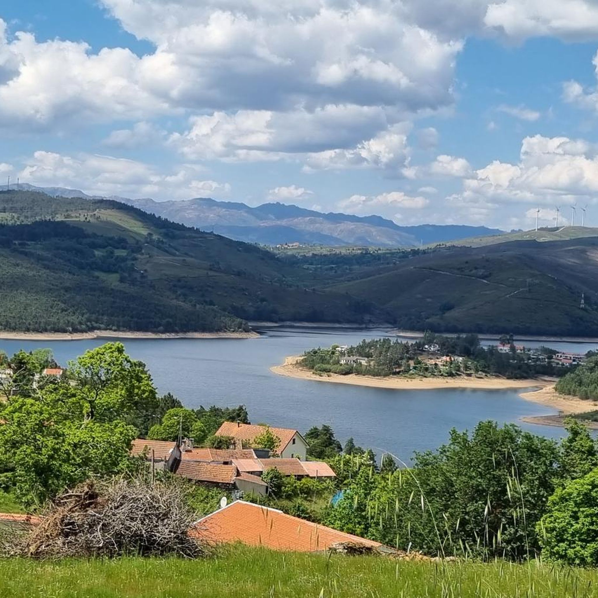
Road cycling around Dornelas, located in Northern Portugal, is characterized by its challenging and varied terrain. The region features river valleys, such as those of the Tâmega River, and significant elevation changes, indicative of its position within areas like the Boticas region or near Serra do Larouco. Road cycling routes often incorporate climbs and descents, passing by dams and historical bridges. This landscape provides demanding rides for experienced cyclists.
Best road cycling routes around Dornelas
- The most popular road cycling…
Last updated: July 12, 2026
5.0
(1)
27
riders
73.8km
03:59
1,370m
1,370m
Hard road ride. Very good fitness required. Mostly well-paved surfaces and easy to ride.
9
riders
86.4km
05:08
2,040m
2,040m
Hard road ride. Very good fitness required. Some segments of this route may be unpaved and difficult to ride.

Sign up for free
7
riders
122km
07:16
2,960m
2,960m
Hard road ride. Very good fitness required. Some segments of this route may be unpaved and difficult to ride.
3
riders
47.6km
02:46
970m
970m
Hard road ride. Very good fitness required. Some segments of this route may be unpaved and difficult to ride.
3
riders
63.1km
03:25
1,240m
1,240m
Hard road ride. Very good fitness required. Mostly well-paved surfaces and easy to ride.
Get access to more routes and recommendations from other explorers.
Sign up for free
Already have an account?
Our route recommendations are based on thousands of hikes, rides, and runs completed by other people on komoot.
Start today with a free account
Your next adventure awaits.
Login or Signup
Popular around Dornelas

Tips from the Community

Nice bike path, nice asphalt. Fairly wide, but only in a few spots is the vegetation recovering. Recommended 👍
1
0
Nice climb, steady and great for pushing. Nice view at the top, and there's a fountain halfway up/down.
0
0

This area is characterized by an unspoiled mountain landscape, typical of the Serra do Gerês and Serra da Cabreira, integral parts of the Peneda-Gerês National Park. The region is known for its wild nature, glacial valleys, mountain pastures and rock formations, elements that contribute to its biodiversity and landscape value.
0
0

Mondim de Basto, on the banks of the Tâmega, holds memories of many peoples. Although it was only founded in the 12th century, during the reign of D. Sancho I, its roots are much older.
1
0

Original village, known for the monument Torre do Boi.
0
0

30 meter high dam, built in 2021 on the Torno River.
0
0
View over Ribeira de Pena and the Tâmega river valley.
0
0
Built in 2022, the Daivões Dam, 77 meters high, produces 159GWh of energy annually.
0
0
Frequently Asked Questions
What is the typical terrain and difficulty for road cycling around Dornelas?
Road cycling around Dornelas, located in Northern Portugal, is characterized by challenging and varied terrain. The region features river valleys, significant elevation changes, and demanding climbs, making routes primarily suitable for experienced cyclists. All 7 routes listed in this guide are rated as difficult.
Are there significant climbs on road cycling routes in Dornelas?
Yes, road cycling routes in Dornelas feature significant elevation changes and challenging climbs. For example, the Casa da Torre – Ponte do Arco de Baúlhe loop from Bagulhão includes over 2,000 meters of elevation gain, while the Ponte de Cavez – Porte de Brest Statue (1912) loop from Vilar de Cunhas has nearly 3,000 meters of ascent.
What interesting sights or viewpoints can I expect to see along road cycling routes near Dornelas?
While cycling near Dornelas, you can discover several points of interest. Notable sights include the Porto d'Olho Viewpoint, offering scenic vistas, and the View of Daivões Dam. You might also pass through charming settlements like Vila da Ponte and Negrões Village, or see traditional structures like the Hórreo (Traditional Granary).
When is the best time of year for road cycling in Dornelas?
Given its location in Northern Portugal, the best time for road cycling in Dornelas is typically during the spring (April to June) and autumn (September to October) months. During these periods, the weather is generally milder and more stable, avoiding the intense heat of summer and the potentially wetter, colder conditions of winter.
Is parking available for cyclists near the road cycling routes in Dornelas?
While specific designated cyclist parking areas are not detailed, it is generally possible to find parking in the villages and towns that serve as starting points for these routes, such as Ribeira de Pena or Vilar de Cunhas. Always check local signage for parking regulations.
Can I use public transport to access road cycling routes in Dornelas with my bike?
Public transport options for accessing road cycling routes with bikes in the rural areas around Dornelas can be limited. It's advisable to check with local bus or train operators in advance regarding their policies for transporting bicycles, as services may not always accommodate them, especially on smaller routes.
Are there any easy or family-friendly road cycling routes in Dornelas?
Based on the available routes, road cycling around Dornelas is predominantly challenging. All 7 routes listed in this guide are rated as difficult, featuring significant elevation changes and distances. There are currently no easy or family-friendly road cycling routes identified in this specific guide.
What do other road cyclists enjoy the most about road cycling in Dornelas?
The road cycling experience in Dornelas is highly rated by the komoot community, with an average score of 5.0 stars from 1 review. Cyclists often praise the varied terrain, challenging climbs, and the opportunity to explore river valleys and the unique landscapes of Northern Portugal.
Are there any circular road cycling routes available in Dornelas?
Yes, many of the road cycling routes around Dornelas are designed as loops. Examples include the Descent Along the Tâmega River – Ponte de Cavez loop from Ribeira de Pena and the Gouvães Dam loop from Ribeira de Pena, allowing you to start and finish in the same location.
How many road cycling routes are available in the Dornelas area?
There are 7 road cycling routes detailed in this guide for the Dornelas area. These routes offer challenging experiences through the region's river valleys and hilly terrain.
Are there cafes or places to eat along the road cycling routes in Dornelas?
While specific cafes directly on the routes are not listed, the routes often pass through or near villages and towns such as Ribeira de Pena, Vilar de Cunhas, or Bagulhão. These settlements are likely to offer local cafes or restaurants where cyclists can refuel and rest.
What kind of natural features will I encounter on a road bike ride in Dornelas?
Road cycling in Dornelas will take you through diverse natural landscapes, including the river valleys of the Tâmega River, and areas near the Serra do Larouco. You'll encounter significant elevation changes, dams like the Gouvães Dam, and historical bridges, all characteristic of Northern Portugal's rugged beauty.
Most popular routes around Dornelas
Most popular attractions around Dornelas

Get inspired with the komoot mobile app


Explore more
Browse the best Road cycling routes in other regions.
